
- Rövid leírás
-
Velturno/Feldthurns chestnuts’ way
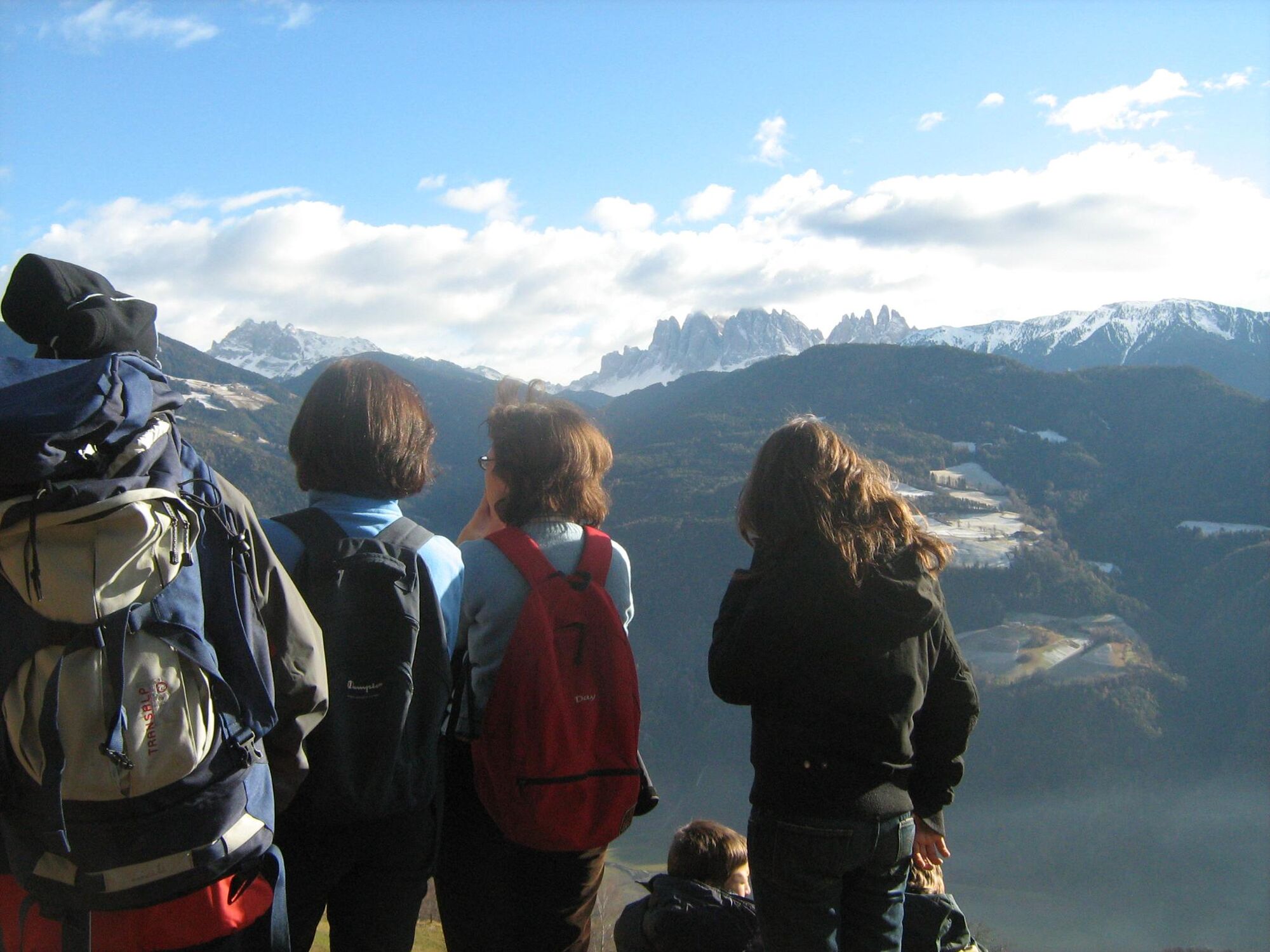
A classic hike to the monastery of Convento di Sabiona/Kloster Säben
Starting-point: Velturno/Feldthurns (856 mt.)
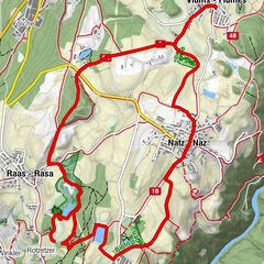
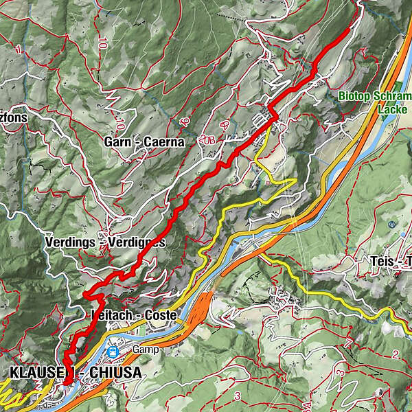
At a glance: Velturno/Feldthurns - Pradel - Convento di Sabiona/Kloster Säben - Chiusa/Klausen
Altitude difference: 331 mt.
Punto più basso: Chiusa/Klausen (525 mt.)
Duration: 2 hours
Length: about 5 km
Difficulty: two climbing-boots hike
- Útvonal
-
Wöhrmannhof0,0 kmTschiffnon0,8 kmSchnauders (1.035 m)1,1 kmHotel Oberwirt1,6 kmSt. Laurentius1,8 kmFeldthurns (856 m)1,8 kmSt. Antonius Kapelle2,0 kmGuln2,7 kmVerdings (955 m)4,9 kmHuberhof5,1 kmPardell5,2 kmKlosterkirche6,3 kmHeilig-Kreuz-Kirche6,3 kmSäbener Berg (673 m)6,3 kmKlausen (525 m)7,2 km
- Legmagasabb pont
- 908 m
- Magassági profil
-
 © outdooractive.com
- Szerző
-
A túra Keschtnweg - Chestnauts´way - a outdooractive.com feltéve, hogy.
GPS Downloads


További túrák a régiókban
-
Brixen und Umgebung
1974
-
Lajen
1099
-
Feldthurns
269