© Archiv TVV, S. Theilig

© Archiv Tourismuszentrum Zeulenrodaer Meer, Marcus Daßler

© Archiv TVV/M.Daßler

© Archiv TVV / Marcus Dassler

© Archiv TVV

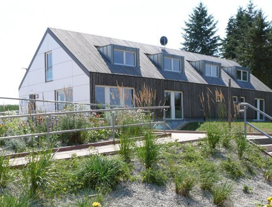
© Archiv Bio-Seehotel Zeulenroda

© Archiv Bio-Seehotel Zeulenroda

© Archiv Tourismuszentrum Zeulenrodaer Meer, Marcus Daßler

© Archiv TVV/M.Daßler

© Archiv Tourismusverband Vogtland, S. Theilig

- Rövid leírás
-
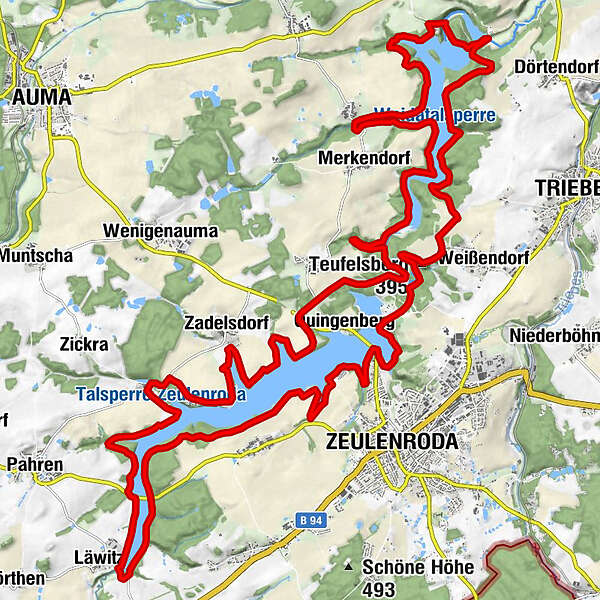
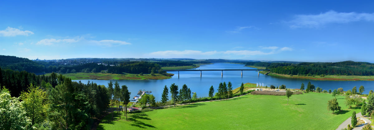
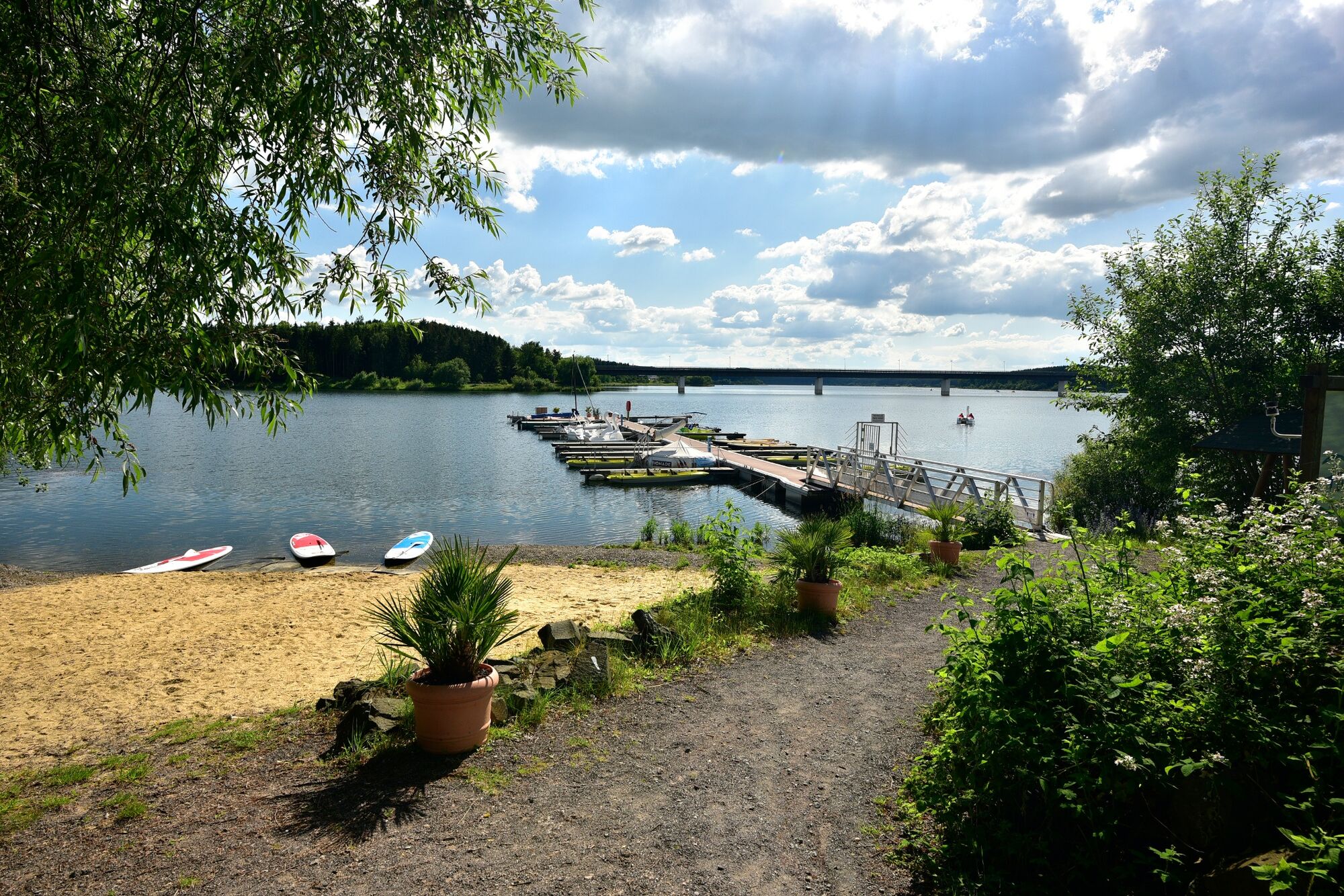
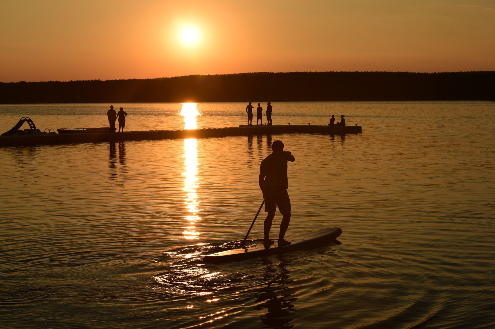
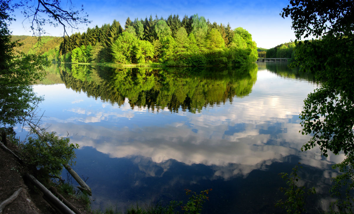
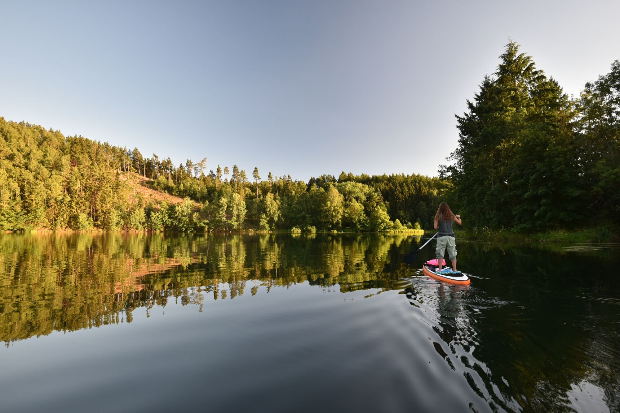
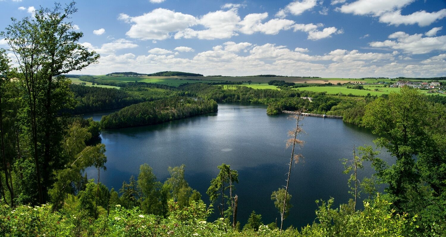
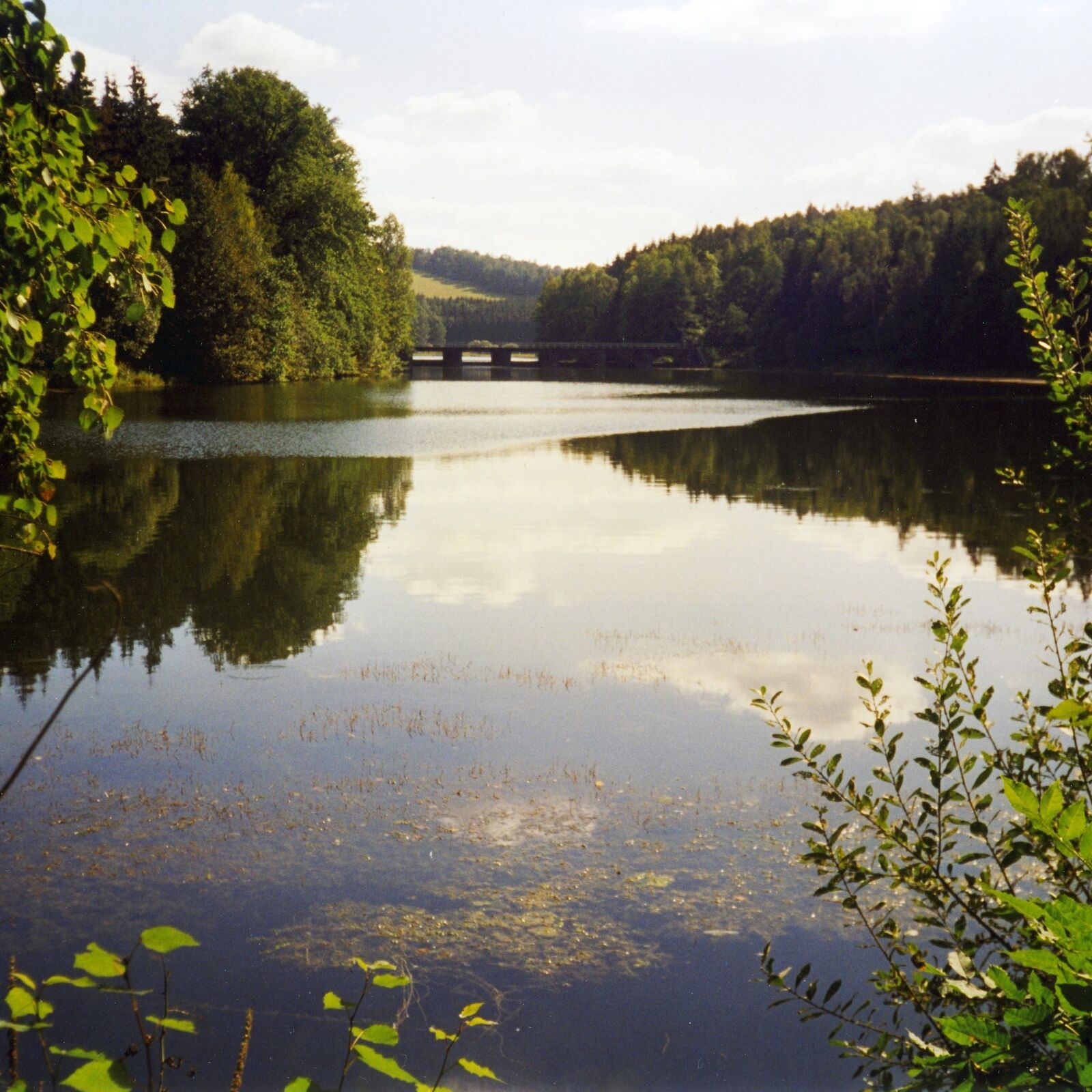
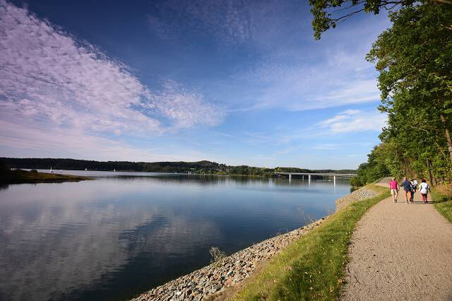
On the circular hiking trail around the Zeulenroda dam and the Weidatal dam you will have the opportunity to get to know a small part of the Thuringian Vogtland. When you go hiking in our beautiful nature, you are sure to get lots of ideas.
- Nehézség
-
közepes
- Értékelés
-
- Útvonal
-
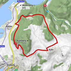
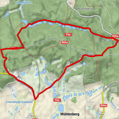
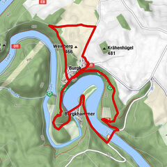
Teufelsberg (395 m)1,7 kmPiesigitz12,4 kmZadelsdorf23,8 kmBungalowdorf Zadelsdorf25,6 kmGaststätte "Zum Segel"25,6 kmStelzendorf26,4 kmZum Goldenen Stern (nur Veranst.)26,7 kmLäwitz31,0 kmKleinwolschendorf35,4 kmStrandhaus Da Rosario38,1 kmZeulenroda39,1 km
- Legjobb szezon
-
janfebrmárcáprmájjúnjúlaugszeptoktnovdec
- Legmagasabb pont
- 396 m
- Úti cél
-
Zeulenroda
- Magassági profil
-
 © outdooractive.com


- Szerző
-
A túra Talsperrenweg Zeulenroda a outdooractive.com feltéve, hogy.
GPS Downloads


Általános információ
Frissítő megálló
Bennfentes tipp
Flora
Fauna
További túrák a régiókban