Luther Trail: Section 13 – From Eisfeld to Bad Rodach (Bavaria)

Kirándulás

© Thüringen-entdecken.de - Paul Hentschel

© Thüringen-entdecken.de - Paul Hentschel

© Foto: Störfix, Lizenz: Creative Commons by-sa 3.0 de [CC BY-SA 3.0 de (http://creativecommons.org/licenses/by-sa/3.0/de/deed.en)], via Wikimedia Commons - Störfix

© Initiative Rodachtal e.V. - Henning Rosenbusch

© Initiative Rodachtal e.V. - ThermeNatur

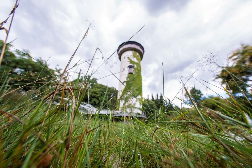
© Unbekannt - ThermeNatur - Bad Rodach

© Initiative Rodachtal e.V. - Hagen Lehmann

- Rövid leírás
-
The Luther Trail takes you across federal borders to places connected with the Reformation. Retrace famous footsteps as you hike through the Coburg countryside and discover the roots of the Schmalkaldic Constitution in Bad Rodach.
- Nehézség
-
közepes
- Értékelés
-
- Útvonal
-
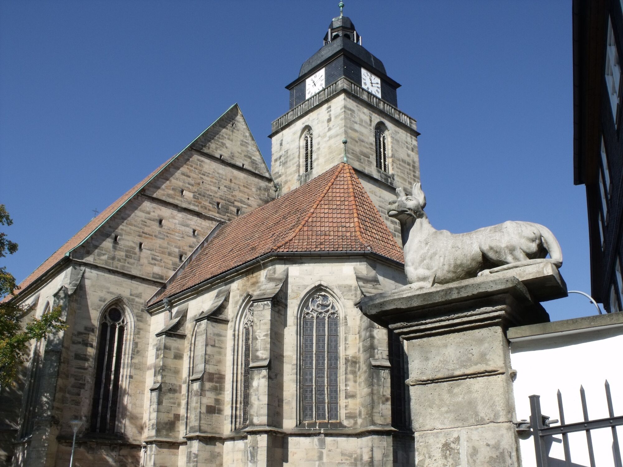
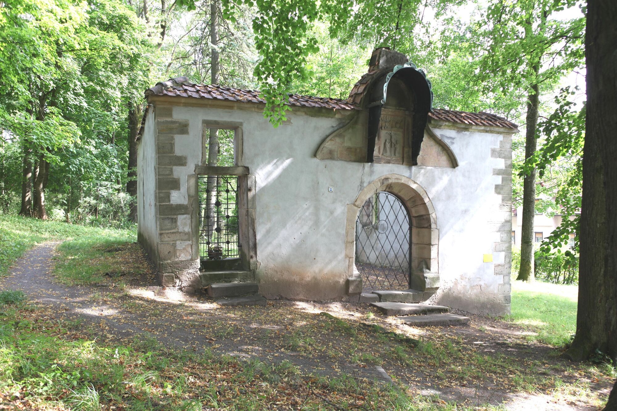
Eisfeld (440 m)Bahnhofsstüble0,5 kmAlter Hof4,7 kmRother Haig (520 m)6,3 kmZum Auerhahn9,0 kmRottenbach9,2 kmMirsdorfer Kuppe (525 m)10,8 kmSenningshöhe (522 m)13,0 kmSt. Bartholomäus15,0 kmOttowind15,1 kmMalzecken18,3 kmOettingshausen18,9 kmKilianskirche19,0 kmTeichwiesen19,4 kmNikolauskirche22,0 kmHellerter Wirtshaus22,2 kmHeldritt22,3 kmJohanniskirche25,9 kmBad Rodach (320 m)25,9 km
- Legjobb szezon
-
janfebrmárcáprmájjúnjúlaugszeptoktnovdec
- Legmagasabb pont
- 524 m
- Úti cél
-
Kirchgasse – Bad Rodach
- Magassági profil
-
 © outdooractive.com


-

-
SzerzőA túra Luther Trail: Section 13 – From Eisfeld to Bad Rodach (Bavaria) a outdooractive.com feltéve, hogy.
GPS Downloads


Általános információ
Frissítő megálló
Kulturális/Történelmi
Ígéretes
További túrák a régiókban
-
Thüringer Wald
997
-
Rodachtal
342
-
Eisfeld
116