- Útvonal
-
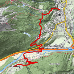
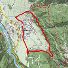
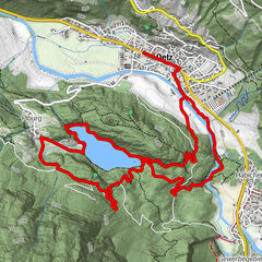
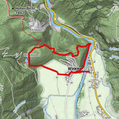
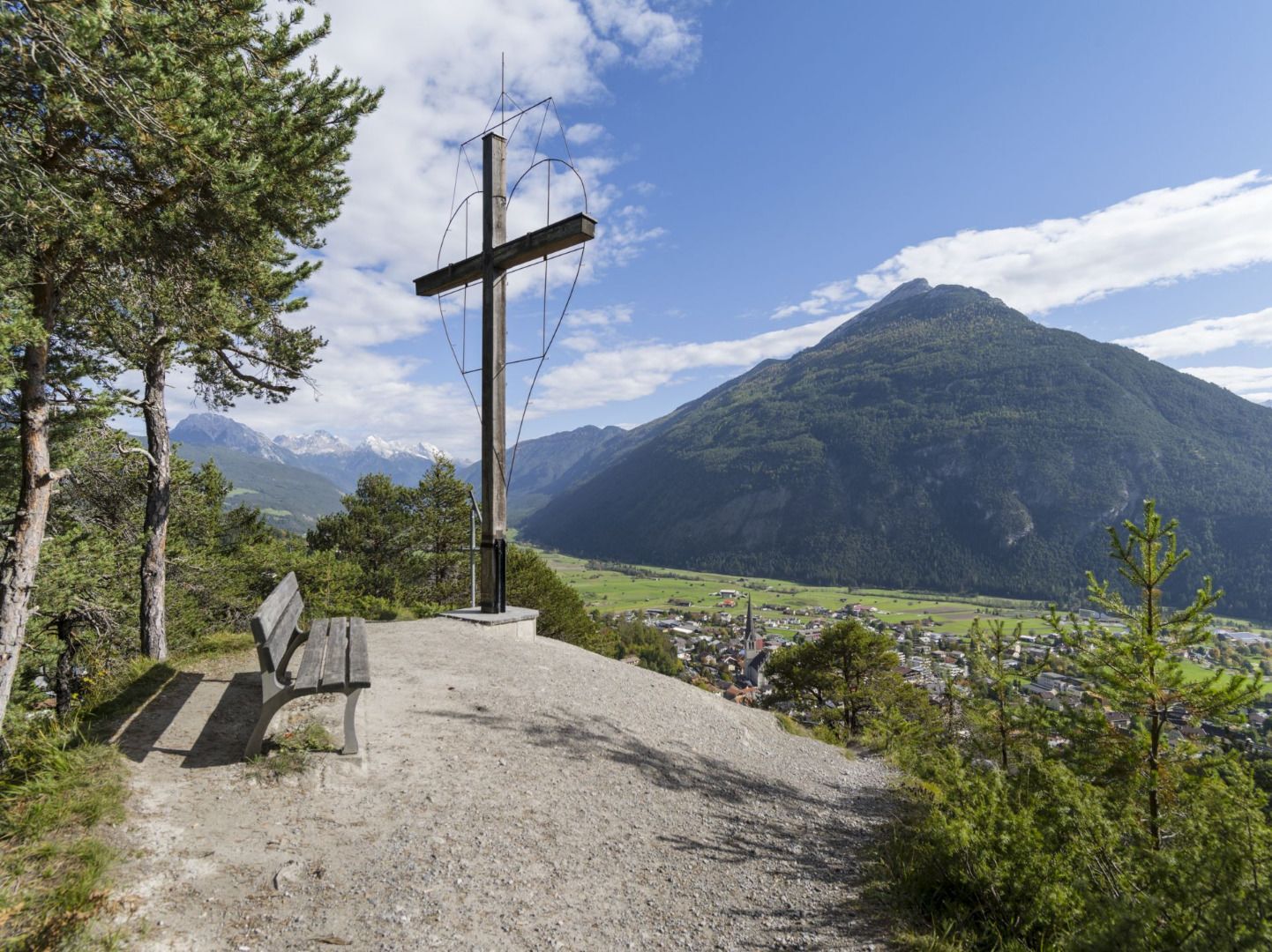
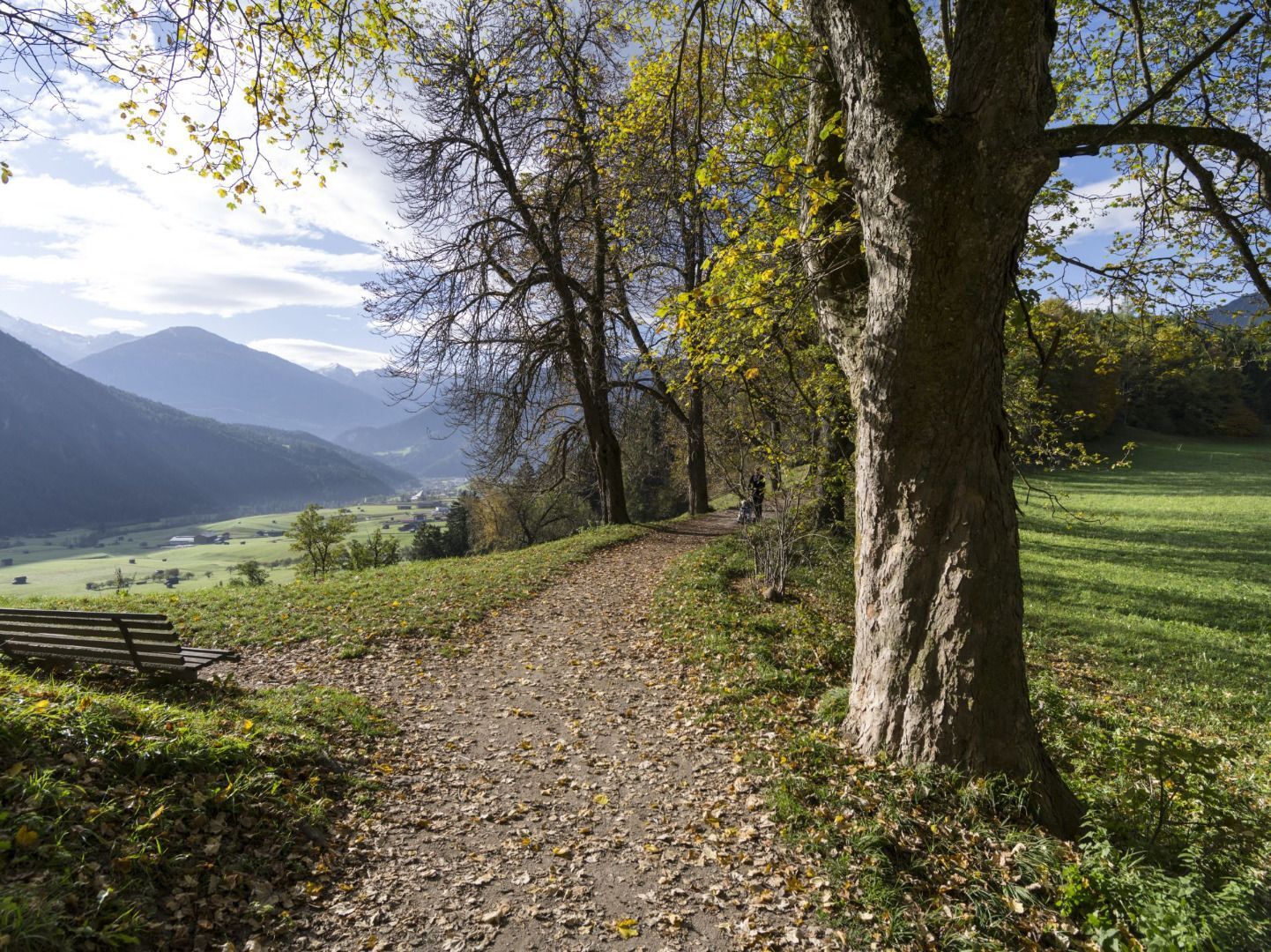
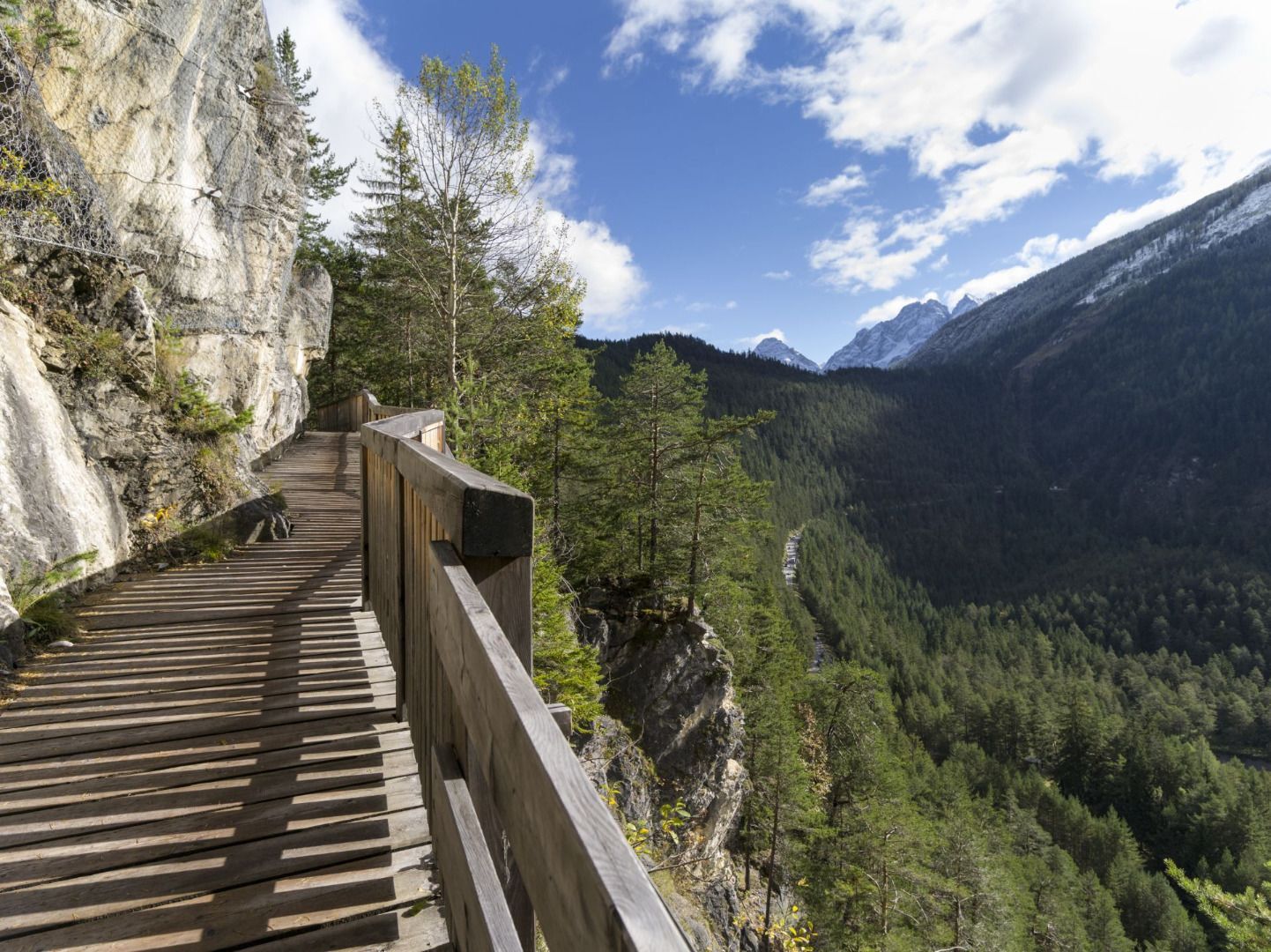
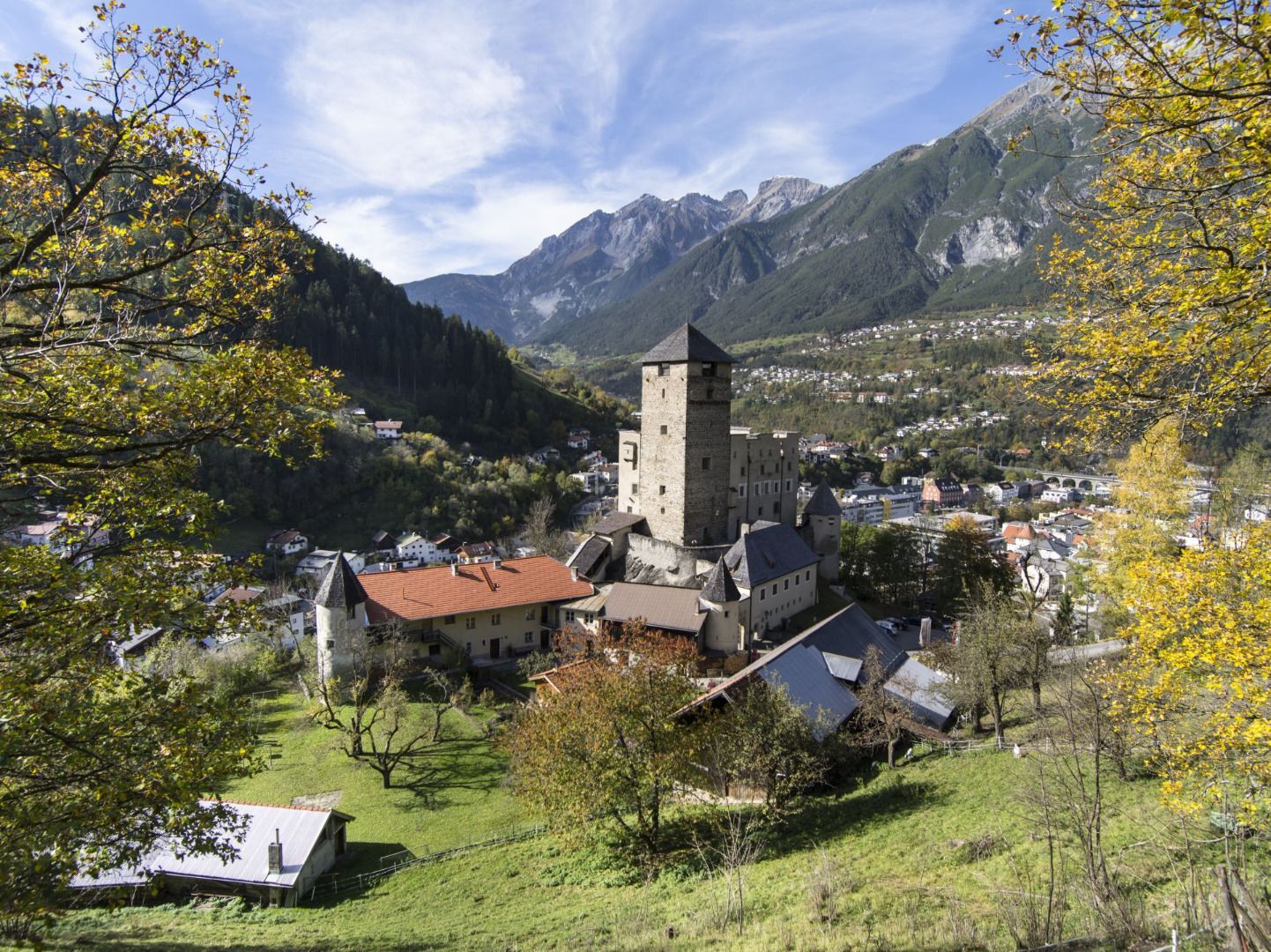
Nepomukkapelle0,0 kmLandeck (817 m)1,0 kmGroßes Kreuz1,0 kmTramserhof1,8 kmHubertuskapelle3,9 kmAnreit4,6 kmRifenal5,3 kmWallfahrtskirche Mariahilf7,6 kmTotenkapelle Kronburg7,6 kmGasthof Kronburg7,6 kmSchönwies (737 m)10,5 kmim Loch12,4 kmSt.Vigil12,5 kmTotenkapelle12,5 kmRied13,2 kmMichaelskapelle13,3 kmSaurs13,7 kmMils bei Imst (743 m)14,6 kmPfarrkirche Mils bei Imst14,7 kmWallfahrtskirche Maria Schnee20,4 kmGasthof St. Hubertus20,5 kmSpielscheune24,7 kmImst (827 m)24,8 kmJohanneskirche24,9 kmLaurentiuskirche25,0 kmLourdeskapelle25,5 kmWetterkreuz26,1 kmSchlossstube auf Starkenberg31,3 kmTarrenz (836 m)31,9 kmPfarrkirche St. Ulrich Tarrenz32,0 kmRotanger32,5 kmOberer Rotanger33,1 kmHoher Übergang34,3 kmObtarrenz36,5 kmKapelle hl. Johannes Nepomuk36,7 kmSinnes Waldrast38,4 kmBrunnen40,3 kmSinnesbrunn40,3 kmNassereith (838 m)47,1 kmDorfkirche47,2 kmSterzinger Hotel Post47,2 kmSeebua47,7 kmVierzehn Nothelfer Kapelle52,3 kmFernpass55,6 kmFernpass (1.216 m)55,8 kmFernpass (1.216 m)56,2 kmLoisachquelle60,7 kmBrabander Alm62,6 kmBiberwier (989 m)63,2 kmEhrwald (994 m)66,7 kmEhrwald Zugspitzbahn (974 m)69,8 km
- Legmagasabb pont
- 1.512 m
- Úti cél
-
Ehrwald
- Magassági profil
-

- Szerző
-
A túra Starkenberger Panoramaweg (Gesamt) a outdooractive.com feltéve, hogy.
GPS Downloads


További túrák a régiókban
-
Outdoorregion Imst
1231
-
Tarrenz
226