© Tourismusverband Region Hall-Wattens - Hall Wattens

© Tirol Werbung, Sebastian Shels

© Tourismusverband Region Hall-Wattens - Hall Wattens

© Tourismusverband Region Hall-Wattens - Hall Wattens

© Alpenverein Hall in Tirol - Gerald Aichner

© Tourismusverband Region Hall-Wattens - Hall Wattens

© Tourismusverband Region Hall-Wattens - Hall Wattens

© Tourismusverband Region Hall-Wattens - Hall Wattens

© Tourismusverband Region Hall-Wattens - Hall Wattens
© Tourismusverband Region Hall-Wattens - Anne W.
- Rövid leírás
-
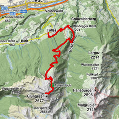
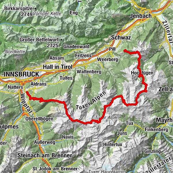
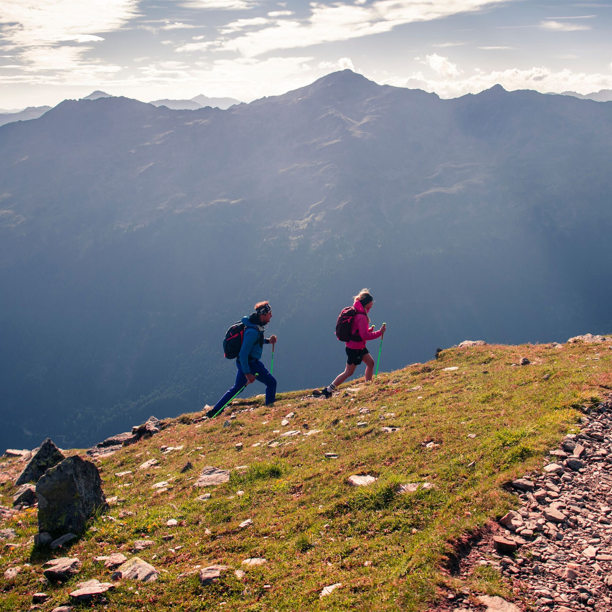
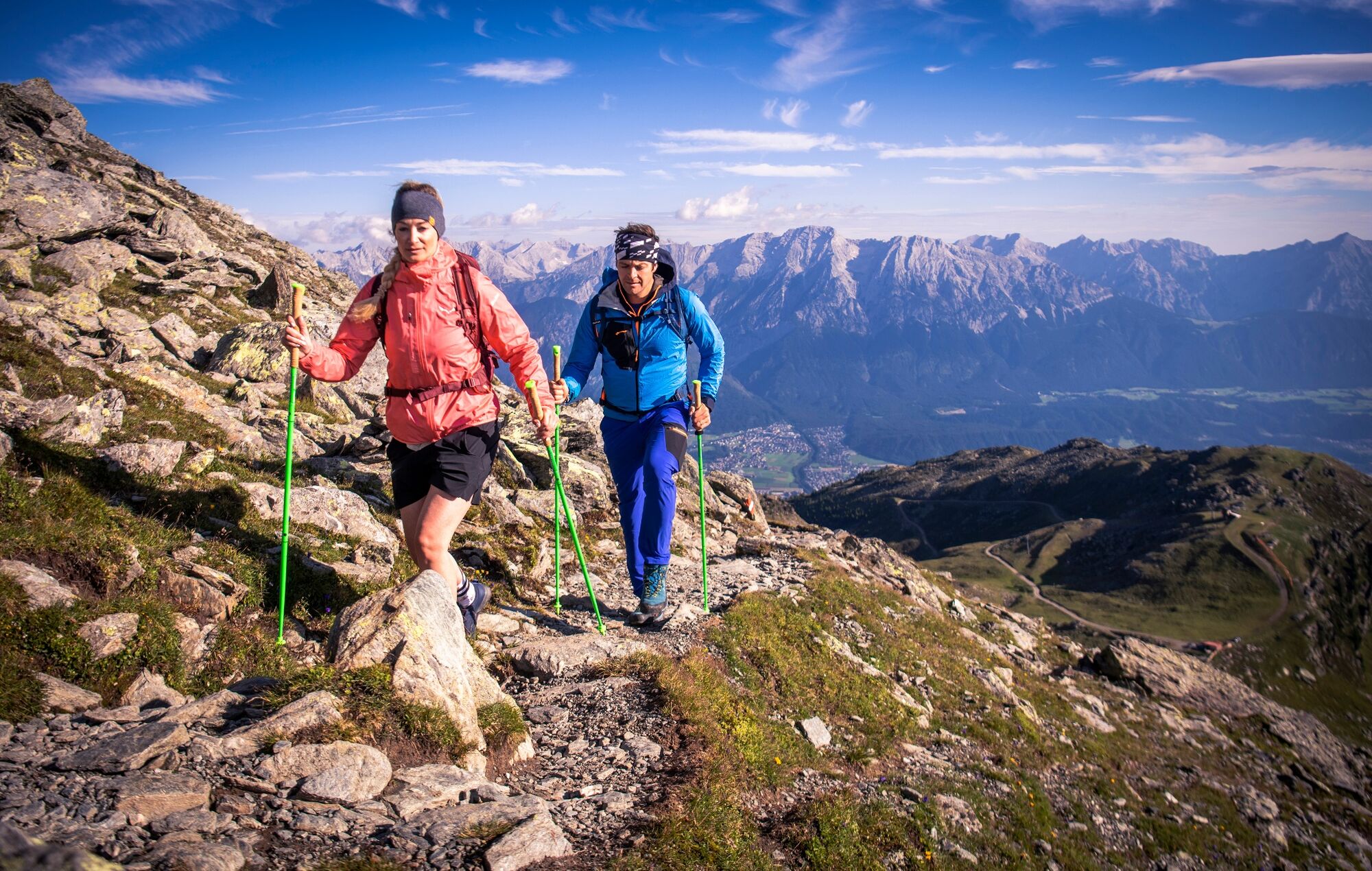
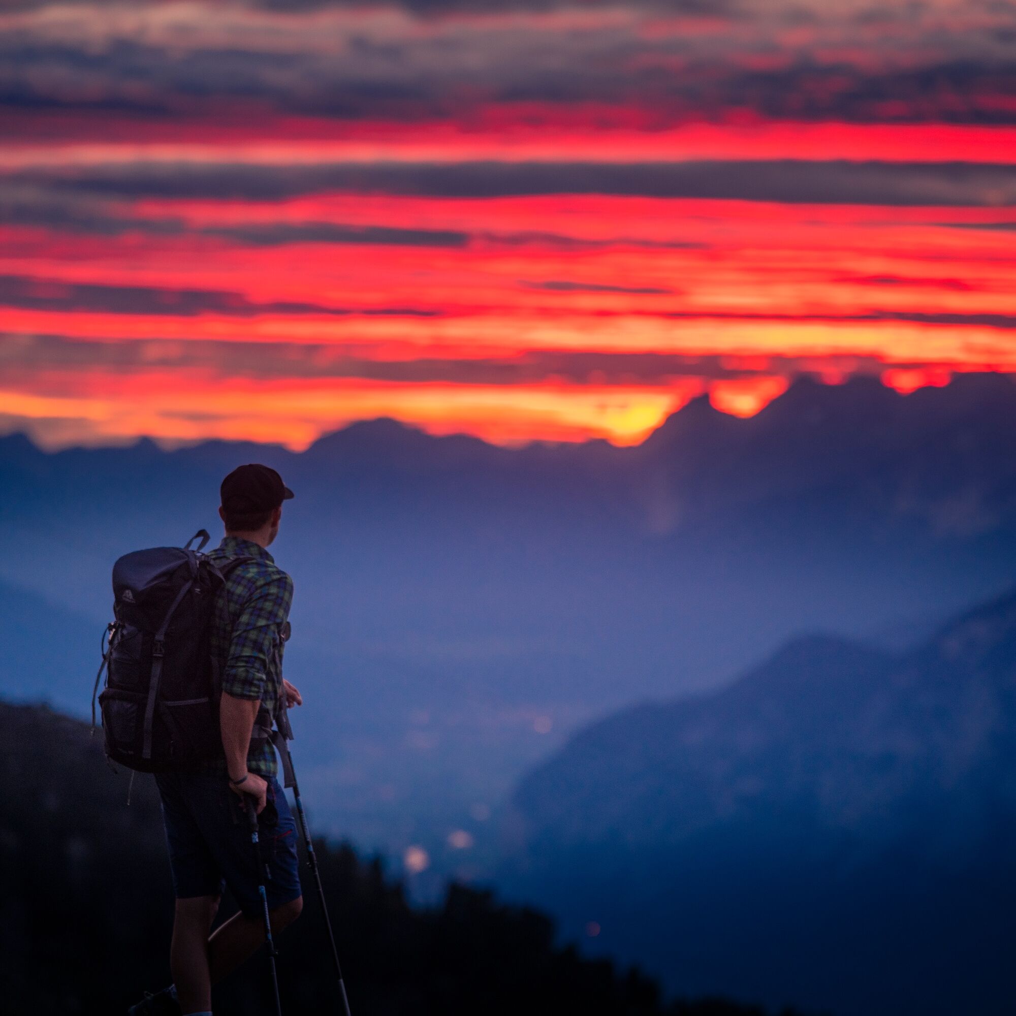
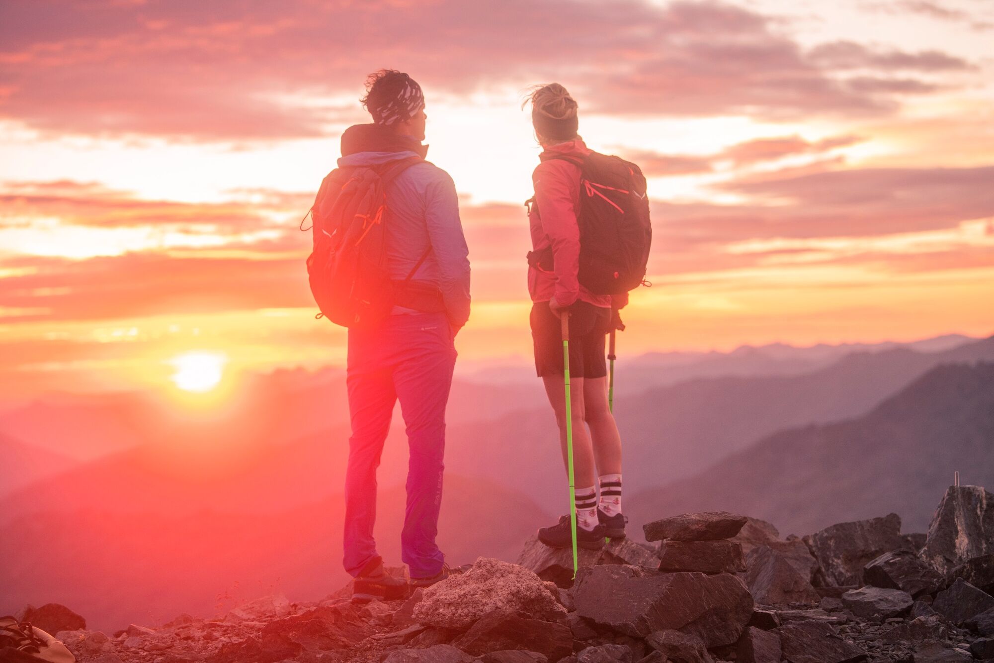
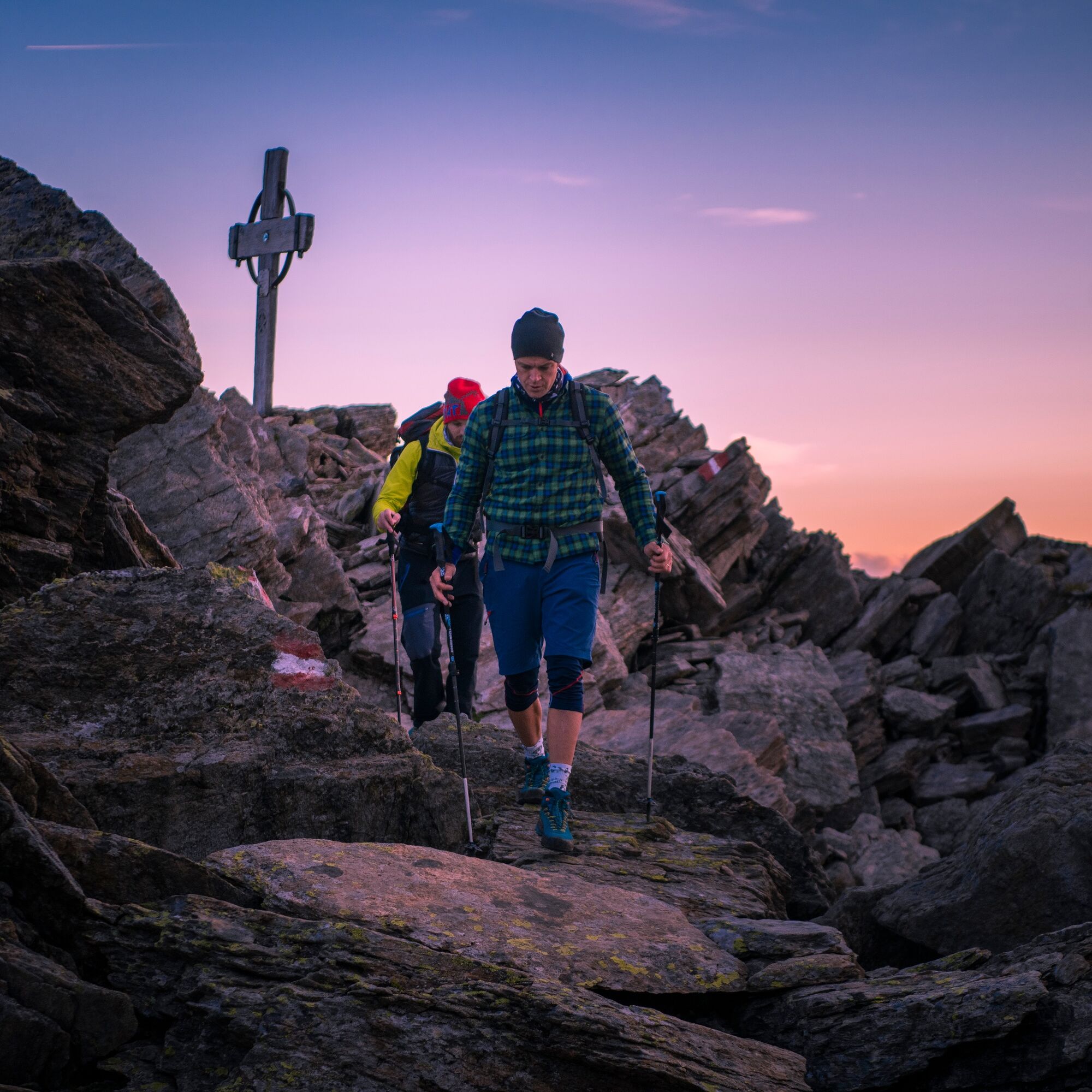
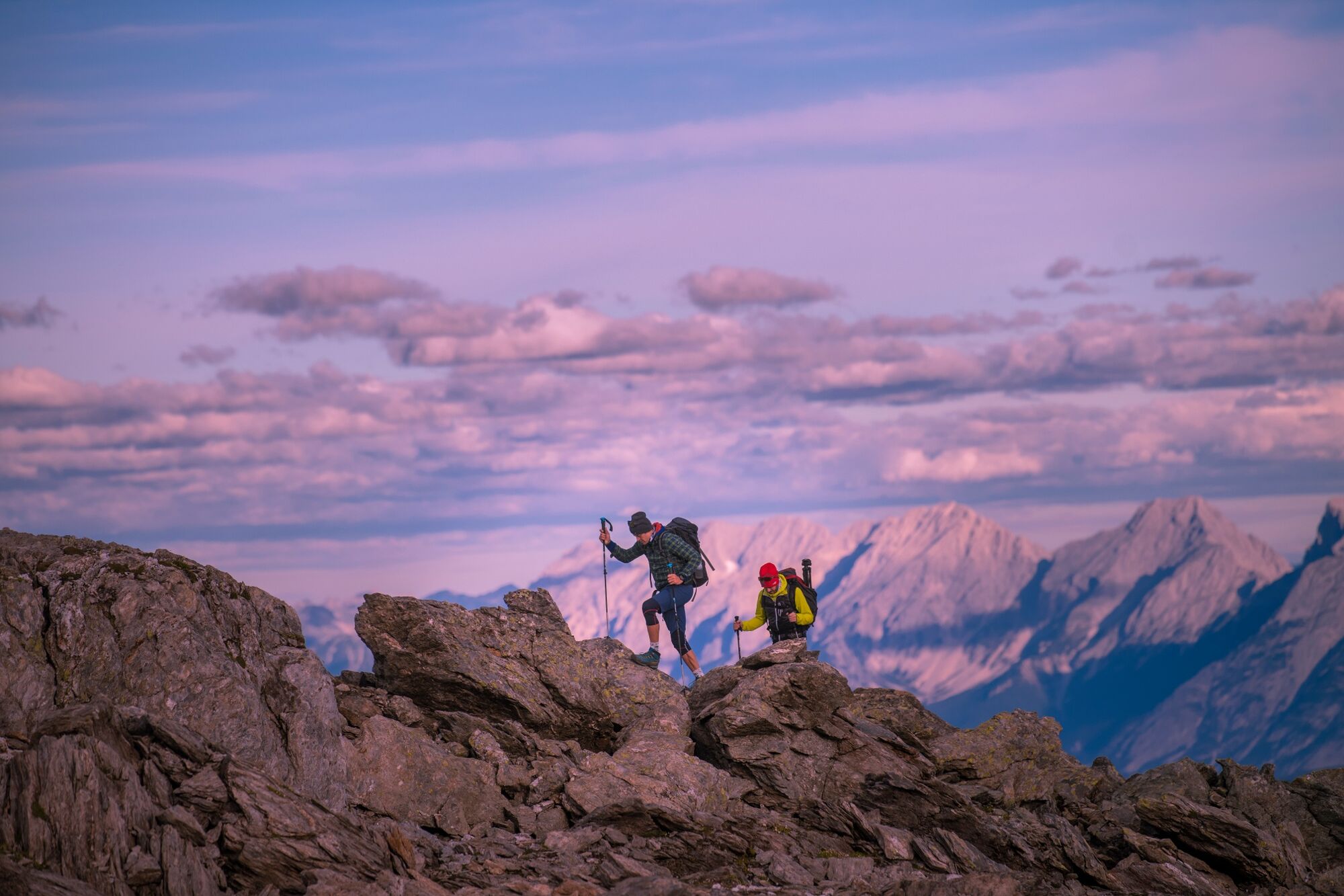
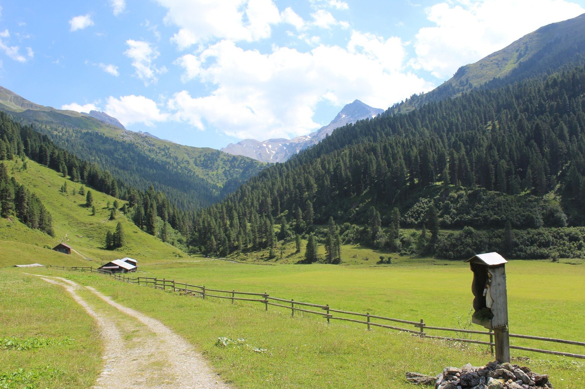
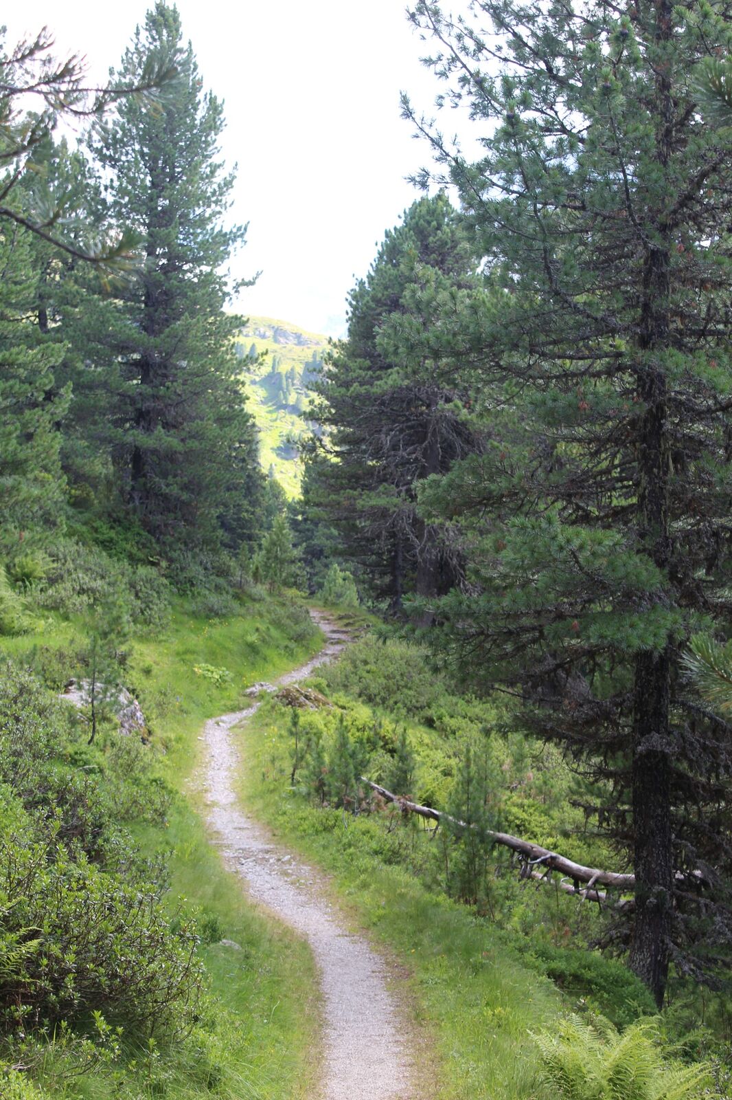
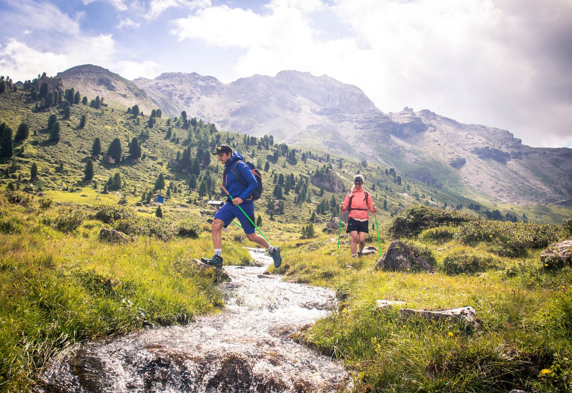
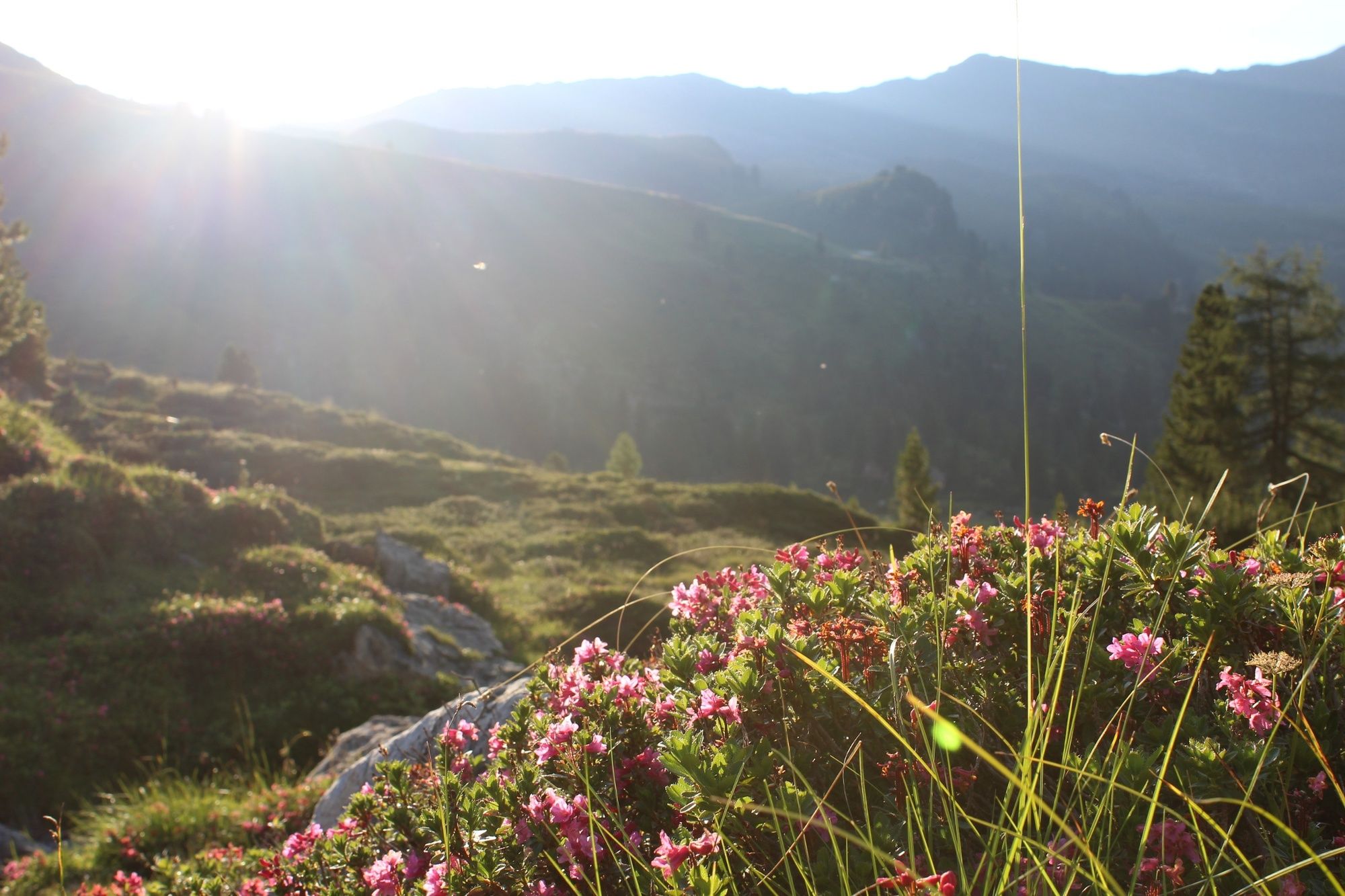
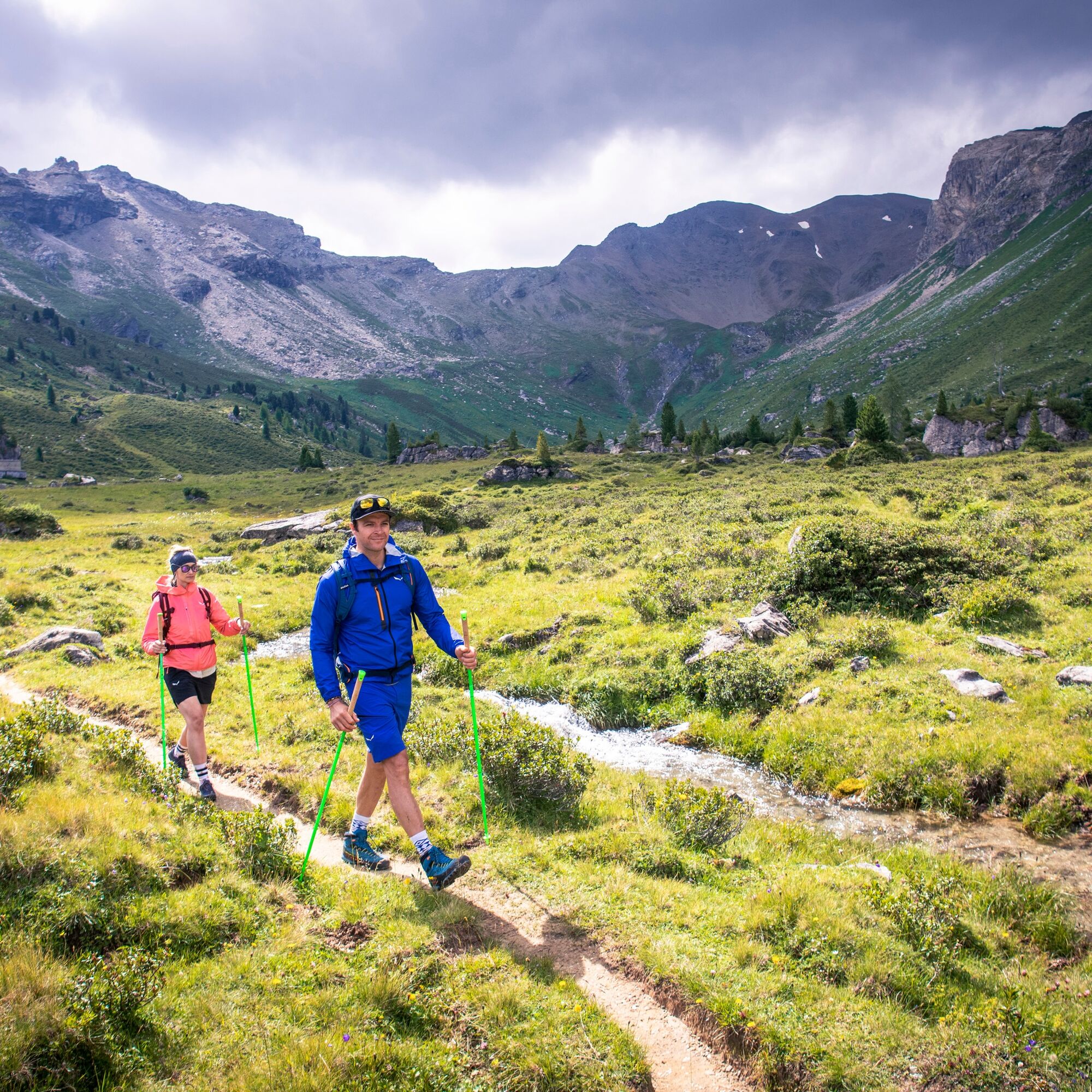
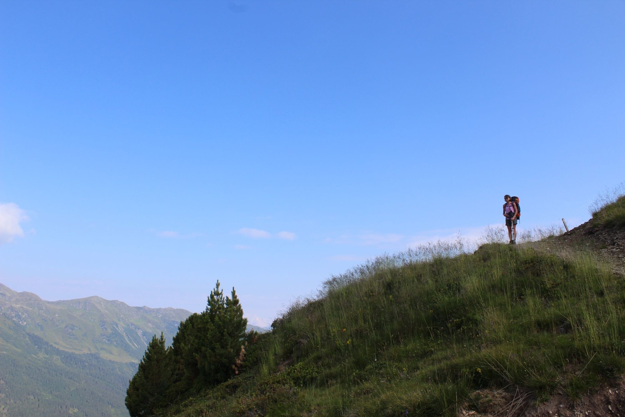
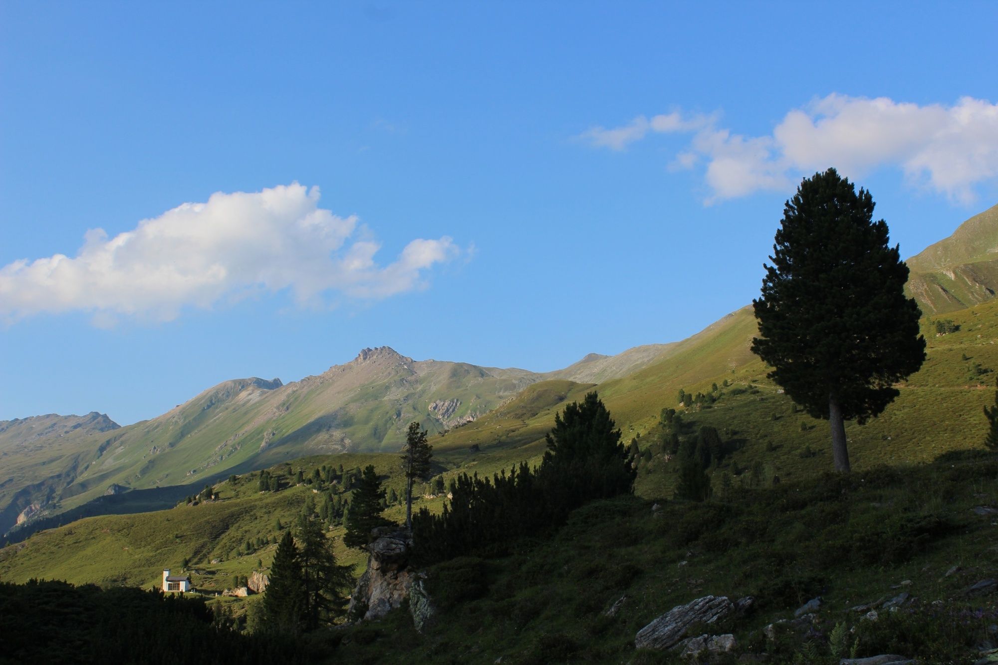
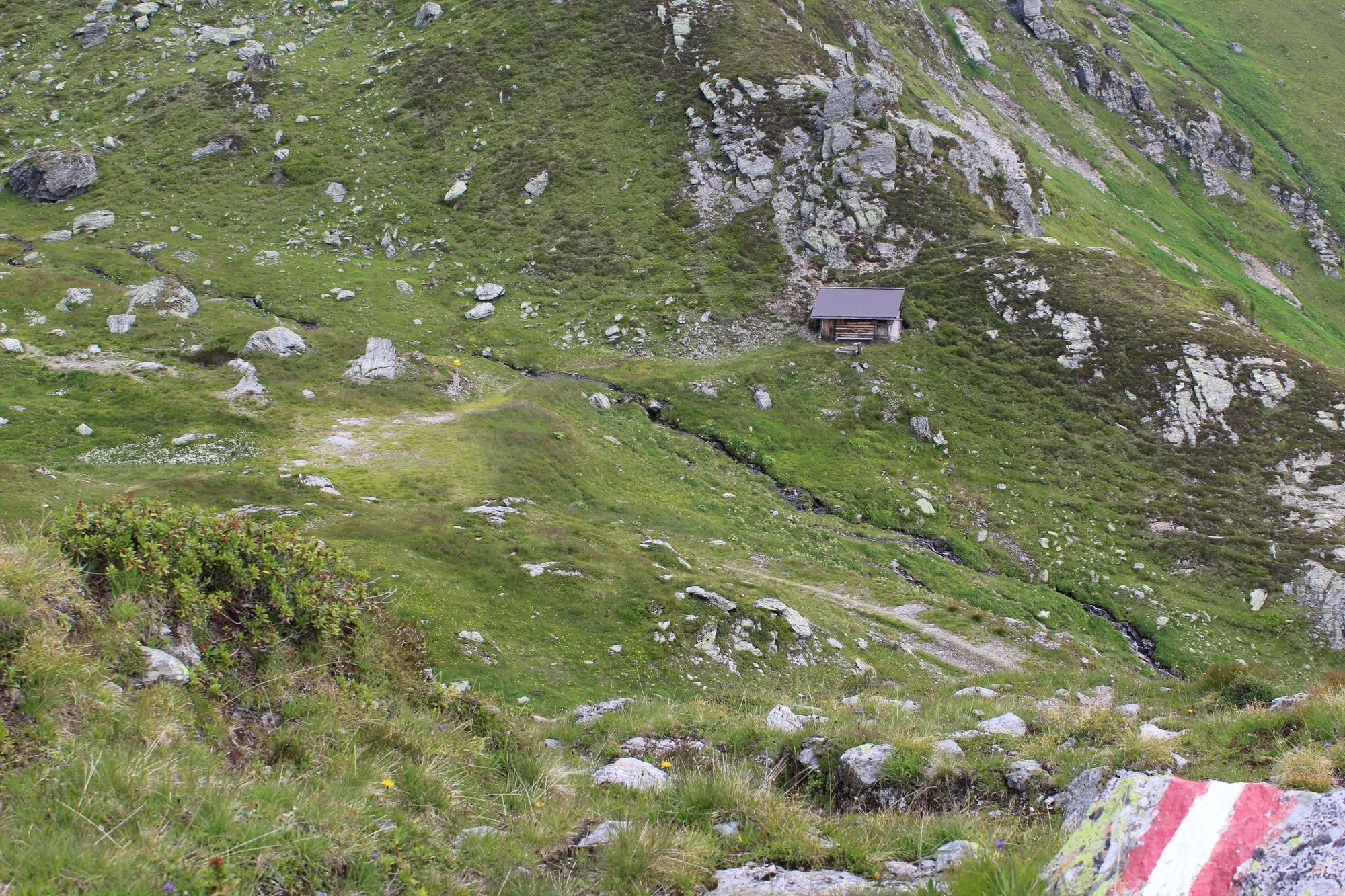
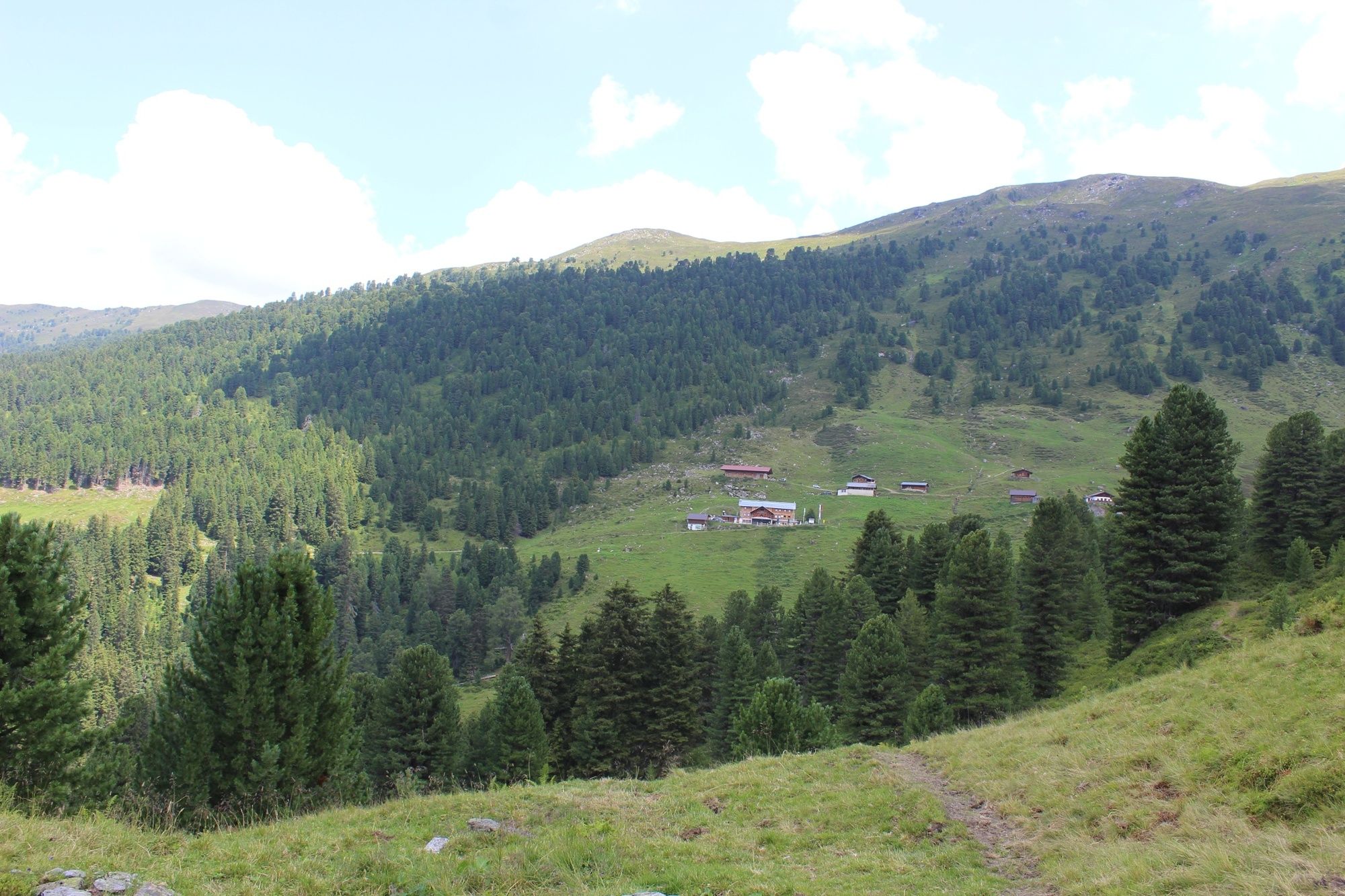
The “Inntaler Höhenweg 2000” is a 6-day high alpine trek that follows the 2,000 m contour line eastwards high above the Inntal Valley, from the Patscherkofel to the Kellerjoch and vice versa. The trail is located at altitudes between 1,800 and 2,800 m and leads through the largely unspoiled, secluded mountains of the Tux Alps
- Nehézség
-
közepes
- Értékelés
-
- Útvonal
-
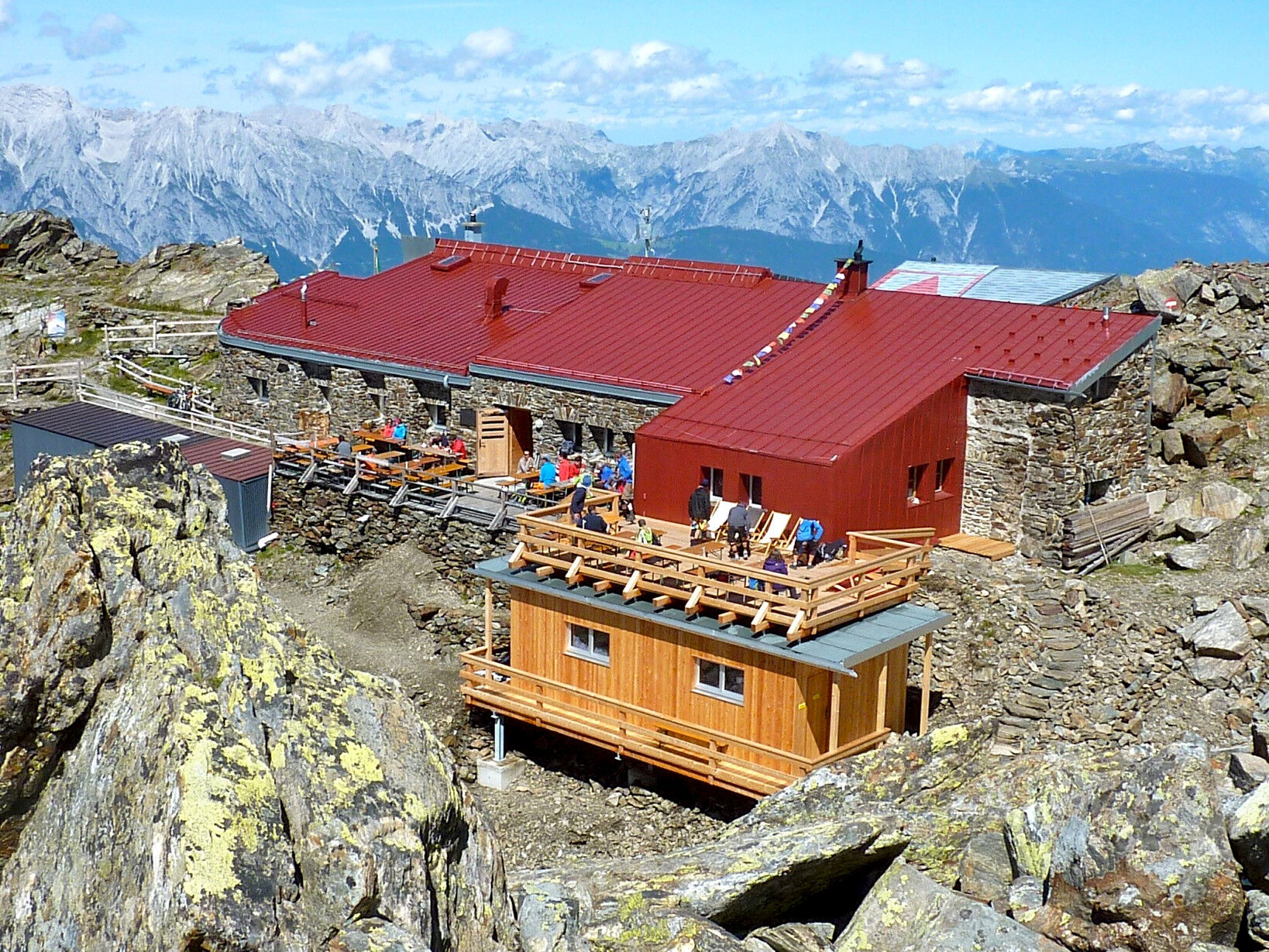
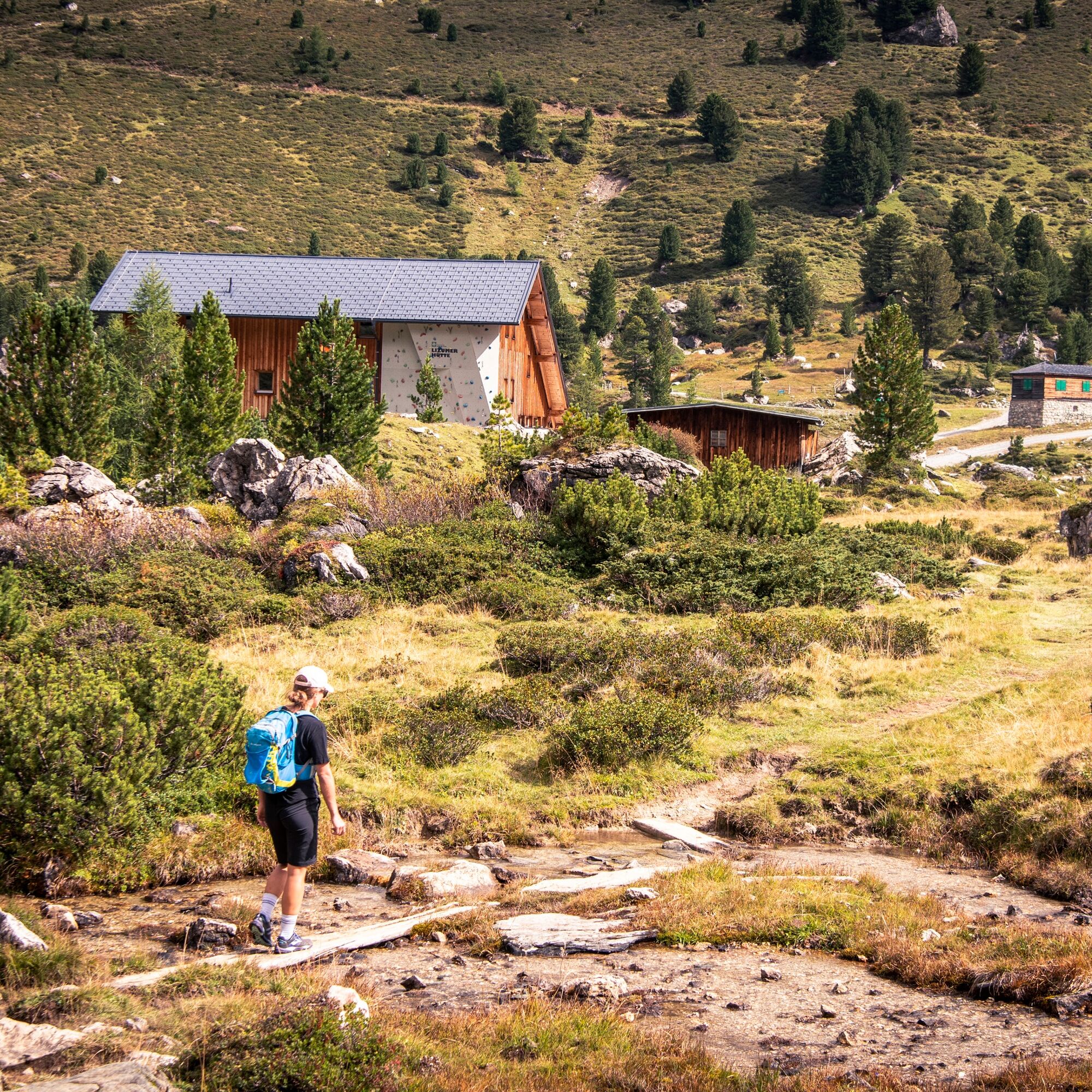
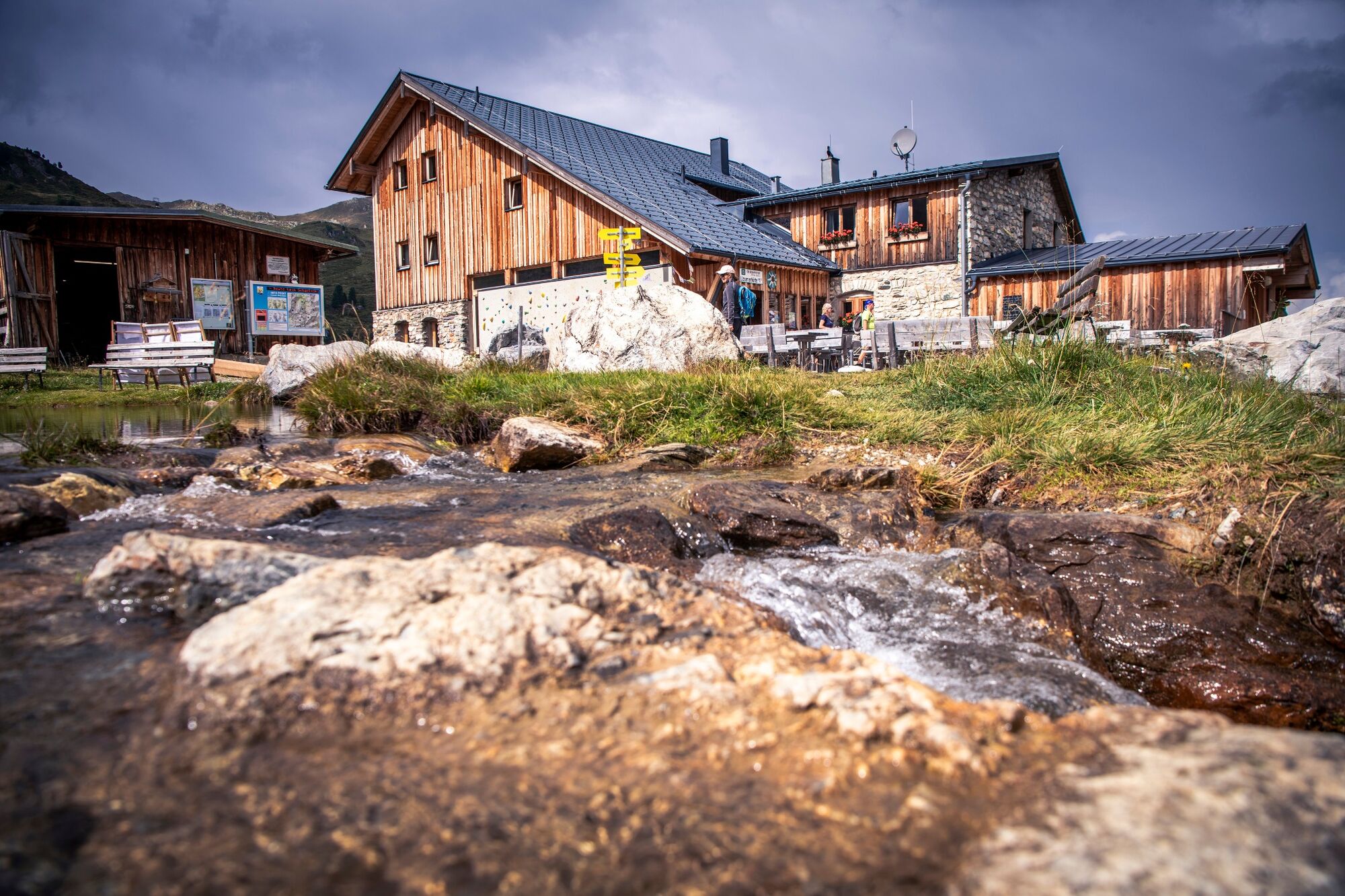
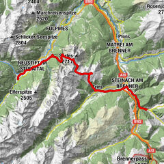
Igls (870 m)Pfarrkirche IglsÄgidihof0,1 kmPizzeria Venezia0,1 kmTee-Hütt'n3,1 kmGasthaus Heiligwasser3,6 kmHeiligwasser3,6 kmIgler Alm5,6 kmLanser Alm (1.735 m)7,3 kmPatscherkofel Schutzhaus9,0 kmBoscheben11,1 kmGlungezerhütte16,1 kmGlungezer (2.677 m)16,5 kmGamslahnerspitze (2.681 m)17,8 kmKreuzspitze (2.746 m)19,5 kmRosenjoch (2.796 m)20,3 kmGrünbergspitze (2.790 m)21,1 kmGrafmartspitze (2.720 m)21,7 kmMölsjoch (2.334 m)24,2 kmLizumer Hütte (2.019 m)30,8 kmLizumer Kirchlein31,4 kmKrovenzalm39,9 kmWeidener Hütte42,2 kmNafingalm43,5 kmHalslspitze (2.574 m)47,1 kmNurpensjoch47,7 kmRastkogel (2.762 m)48,8 kmSidanjoch (2.120 m)53,6 kmRastkogelhütte54,5 kmViertelalm Hochleger56,7 kmViertelalm Niederleger57,8 kmPfundsalm Niederleger59,0 km8er Jet60,4 kmHochfügen (1.474 m)60,7 kmLamarkalm Niederleger61,7 kmKuhmesser (2.246 m)68,2 kmKellerjochhütte69,1 kmNaunz Alm Hochleger70,7 kmNaunz Alm Niederleger71,8 km
- Legjobb szezon
-
janfebrmárcáprmájjúnjúlaugszeptoktnovdec
- Legmagasabb pont
- 2.790 m
- Magassági profil
-

-

-
SzerzőA túra The Inntaler Höhenweg trail a outdooractive.com feltéve, hogy.
GPS Downloads


Általános információ
Frissítő megálló
Bennfentes tipp
Ígéretes
További túrák a régiókban
-
Tux - Finkenberg
990
-
Kolsassberg
306


, Schlafhütte „TuXer“ (re) und „Base-Camp“")