© Alpbachtal Tourismus

© Alpbachtal - Matthias Sedlak

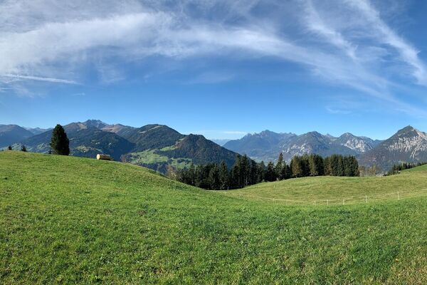
© Christian Vorhofer
© Alpbachtal Tourismus

© Alpbachtal Tourismus - Gabriele Grießenböck

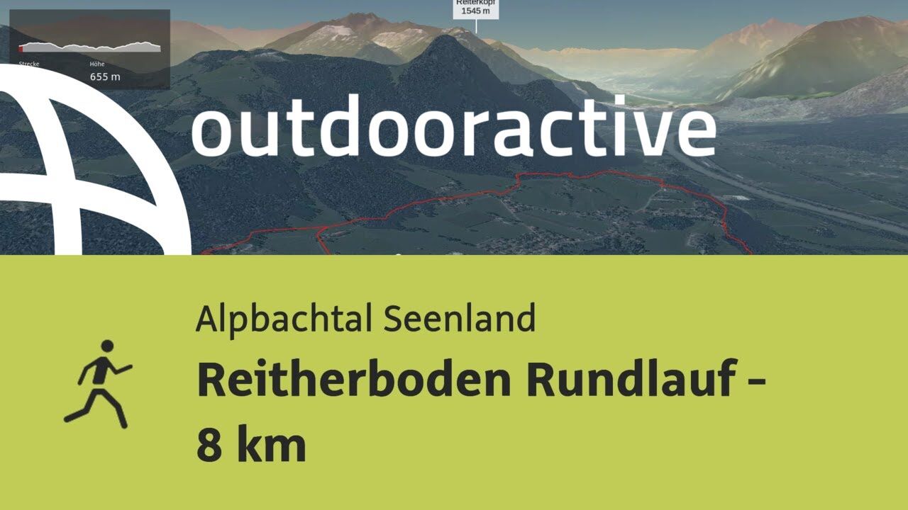
© Outdooractive – 3D Videos

© Alpbachtal Tourismus - Gabriele Grießenböck

© Alpbachtal Tourismus

- Rövid leírás
-
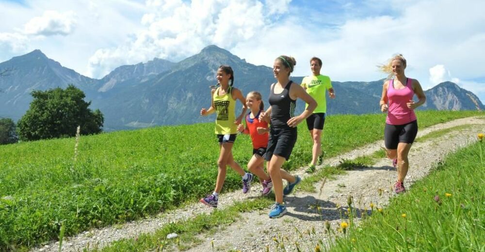
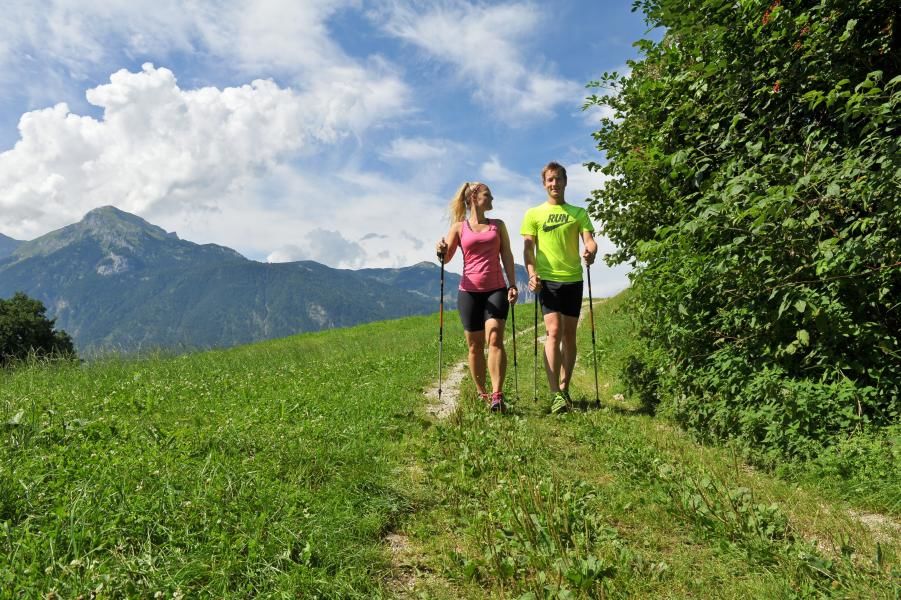
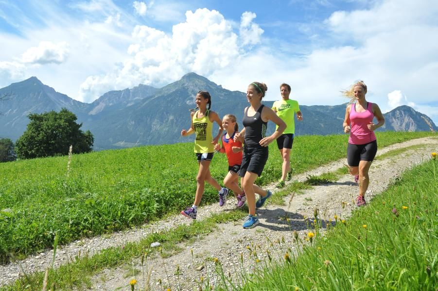
Running trail - medium difficulty.
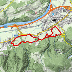
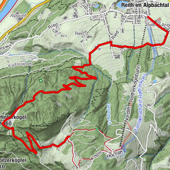
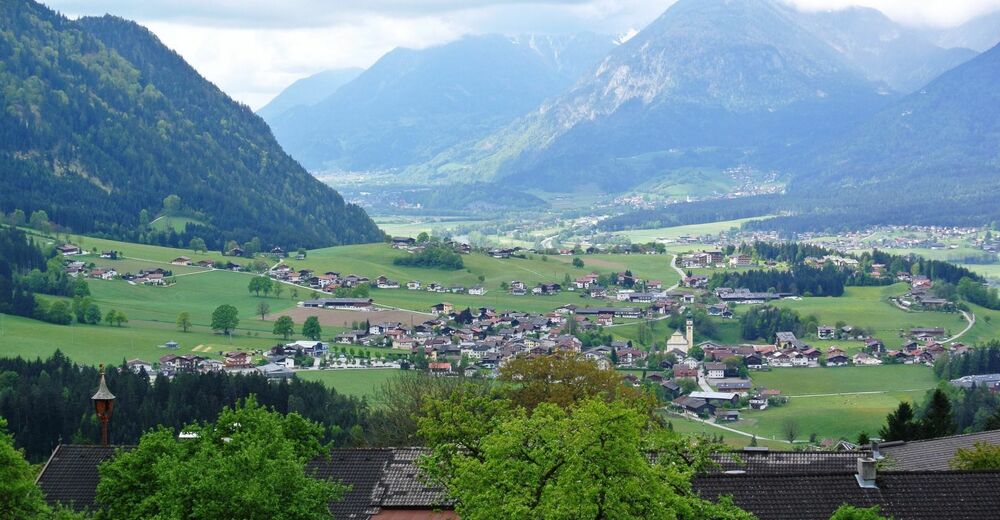
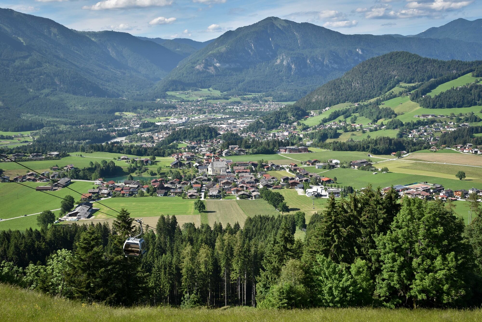
The start and finish for all 3 trails is at the Reitherkogelbahn car park. The initial section of the trail leads towards Alpbach. After approx. 300 m at the first marker turn right and follow the trail to the Hub-chapel. All three trails share the initial 1,8 km to the Hub-chapel, from this point the routes branch out in their respective direction.
- Nehézség
-
közepes
- Értékelés
-
- Útvonal
-
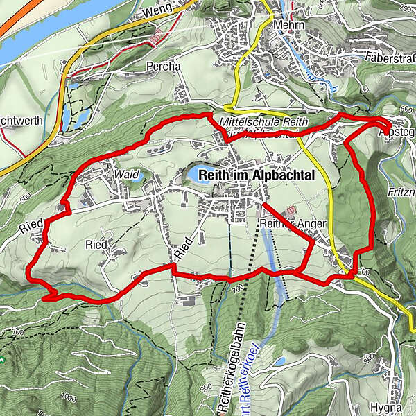
Reith im Alpbachtal (638 m)Reither Anger (659 m)0,2 kmHub Kapelle1,8 kmAussichtsplattform Blattform3,6 kmSonnbichl4,7 kmBischofsbrunn5,2 kmAlpsteg (619 m)5,7 kmReither Anger (659 m)7,8 kmReith im Alpbachtal (638 m)8,1 km
- Legjobb szezon
-
janfebrmárcáprmájjúnjúlaugszeptoktnovdec
- Legmagasabb pont
- 700 m
- Úti cél
-
Reitherkogelbahn car park, Reith
- Magassági profil
-


- Szerző
-
A túra Reitherboden Loop Trail - 8 km a outdooractive.com feltéve, hogy.
GPS Downloads


További túrák a régiókban