St. James way Section 4 Berwang - Haldensee

Zarándokút


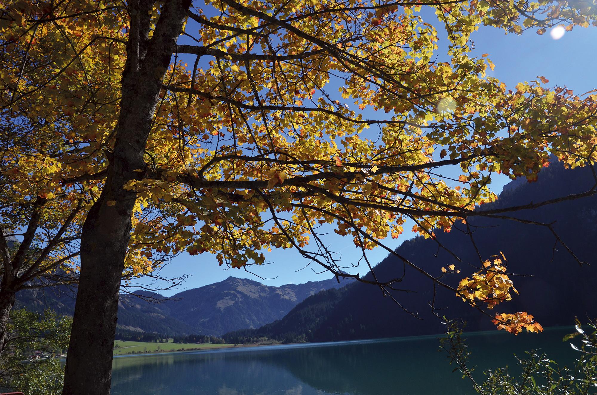
© Tannheimer Tal - Tourismusverband Tannheimer Tal
- Rövid leírás
-
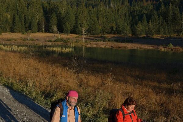
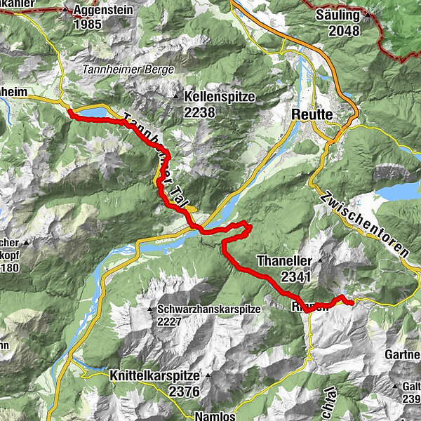
Scenically varied route through the quiet Rotlechtal valley down to Rieden and Weißenbach am Lech, then on the old Gaichtpassweg up to the sunny Tannheimer Tal.
- Nehézség
-
közepes
- Értékelés
-
- Útvonal
-
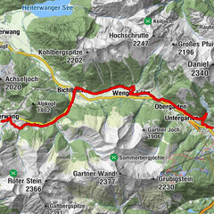
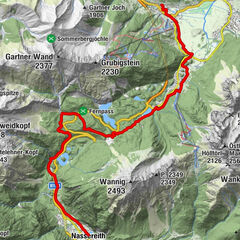
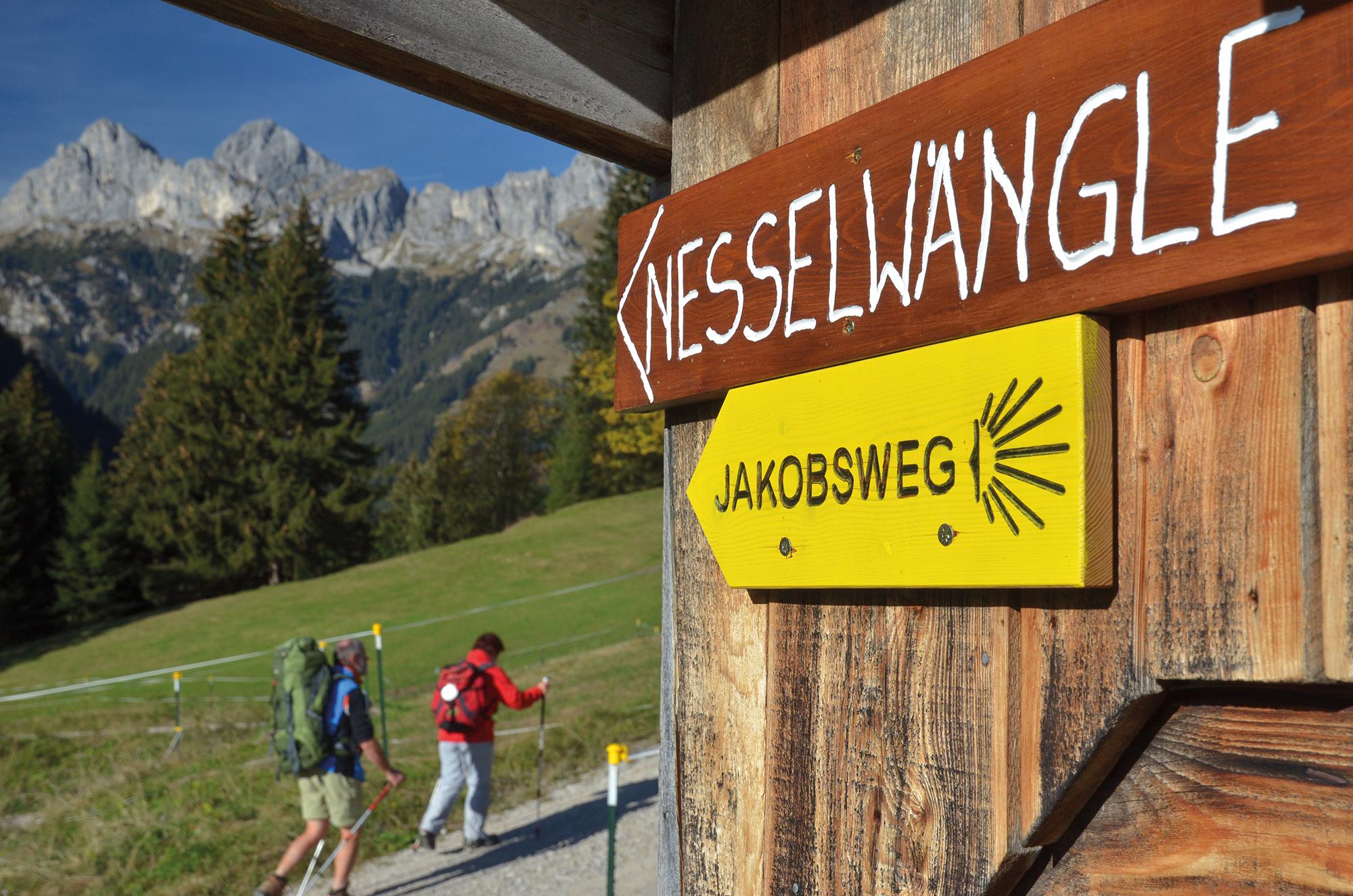
Berwang (1.342 m)Kaminstube Thanellerkar0,5 kmSankt-Sebastian Kapelle2,3 kmStadl Bräu2,3 kmRotlechwasserfall2,6 kmRinnen2,6 kmRieden11,4 kmKapelle zum hl. Georg11,5 kmGasthaus Kreuz11,5 kmWeißenbach am Lech (885 m)13,7 kmDorfkirche13,8 kmFriedhofskapelle14,0 kmUntergaicht15,4 kmGaichtkapelle15,5 kmWeidekapelle16,9 kmGasthof Gaichtspitze17,3 kmGaicht17,3 kmKapelle auf der Gaicht17,3 kmNesselwängle (1.136 m)20,6 kmKrinnenalpe21,2 kmSchmitte21,5 kmTauscher's Alm24,3 kmSt. Jakobus24,7 kmHaldensee24,9 km
- Legjobb szezon
-
janfebrmárcáprmájjúnjúlaugszeptoktnovdec
- Legmagasabb pont
- 1.349 m
- Úti cél
-
Haldensee
- Magassági profil
-


- Szerző
-
A túra St. James way Section 4 Berwang - Haldensee a outdooractive.com feltéve, hogy.
GPS Downloads


Általános információ
Frissítő megálló
Kulturális/Történelmi
Flora
Fauna
Ígéretes
További túrák a régiókban
-
Allgäu
2357
-
Naturparkregion Reutte
1432
-
Weißenbach am Lech
437