2020_RAD-MARATHON TT_56 km distance

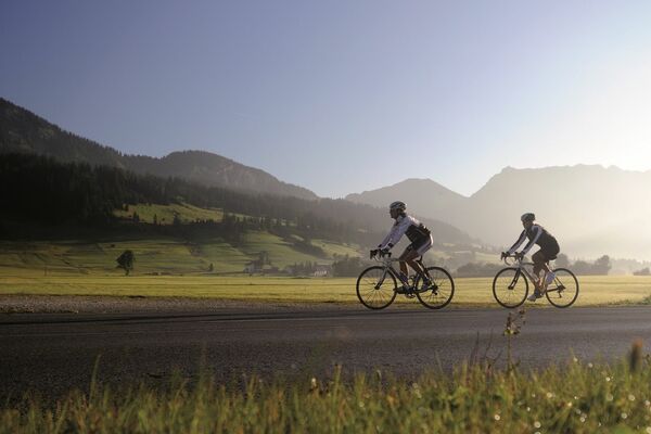
Országúti kerékpározás

© Outdooractive – 3D Videos
- Rövid leírás
-
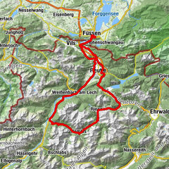
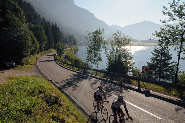
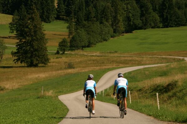
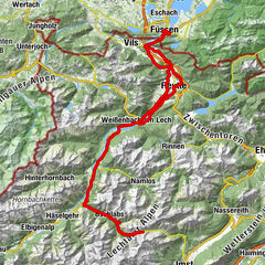
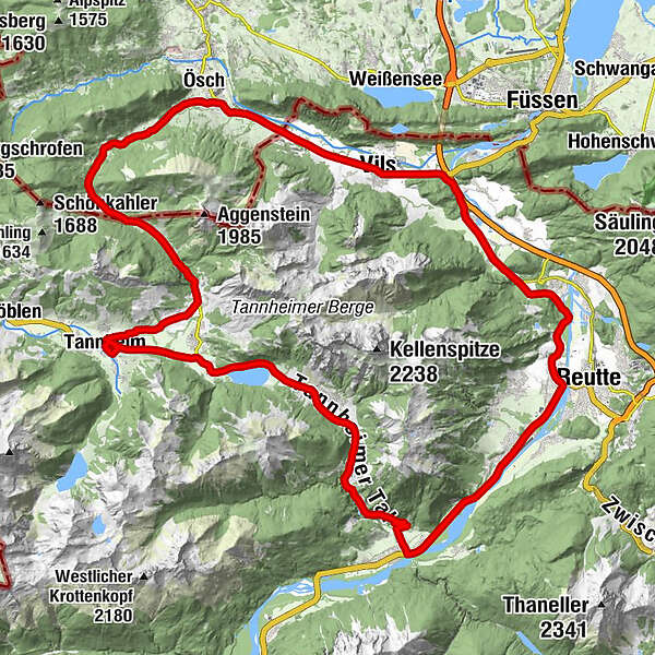
The route leads from Tannheim via Grän to Pfronten and along the river Lech to Weißenbach. With a gradient of about 5%, this pass is very easy to ride and fits perfectly to the scenic route. This 56 kilometre long route is particularly suitable for beginners and all those who want to take it easy and get a taste of event air. All types of bicycles are permitted. (racing bike, touring bike, mountain bike, e-bike)
- Nehézség
-
közepes
- Értékelés
-
- Útvonal
-
Tannheim (1.097 m)0,0 kmSt. Nikolaus0,1 kmSt. Martin2,1 kmInnergschwend2,2 kmLumberg4,3 kmMichaelskapelle4,6 kmWasserscheide Vils/Steinacher Achen (1145m)4,8 kmEnge5,1 kmSeealp7,2 kmÖsch14,9 kmSteinach15,5 kmSt. Michael15,6 kmSchönbichl18,0 kmSchwarzer Adler20,8 kmVils (826 m)20,9 kmKrone21,1 kmRiedle24,9 kmMusau (821 m)25,1 kmLeite25,7 kmBrandstatt (842 m)26,4 kmHl. Antonius26,5 kmMariae Heimsuchung27,2 kmRoßschläg27,2 kmOberletzen28,5 kmMariahilfkapelle29,0 kmOberletzen29,1 kmHinterbichl30,5 kmReutte (853 m)32,3 kmLechaschauer Kirche32,3 kmLechaschau (846 m)32,5 kmBuchenort32,7 kmGraben33,7 kmPlatten34,0 kmSoyers Sennerland34,5 kmHöfen (868 m)34,7 kmThermic Ranch34,7 kmHornberg35,6 kmWeißenbach am Lech (885 m)39,8 kmDorfkirche39,8 kmRauth44,6 kmStegmühlkapelle44,7 kmGasthof Klausenstüberl44,7 kmMariahilf Kapelle45,8 kmNesselwängle (1.136 m)47,3 kmSchmitte48,4 kmSchmittekapelle48,6 kmHaller49,4 kmSt. Johannes49,7 kmVia Salina Hotel am See49,8 kmSt. Jakobus51,5 kmHaldensee51,6 kmTannheim (1.097 m)55,4 km
- Legjobb szezon
-
janfebrmárcáprmájjúnjúlaugszeptoktnovdec
- Legmagasabb pont
- 1.152 m
- Úti cél
-
6675 Tannheim / Tannheimer Tal / Tyrol - Local centre Tannheim municipal office
- Magassági profil
-

- Szerző
-
A túra 2020_RAD-MARATHON TT_56 km distance a outdooractive.com feltéve, hogy.
GPS Downloads


További túrák a régiókban
-
Allgäu
65
-
Tannheimer Tal
52
-
Nesselwängle
25