© APT - Valsugana e Lagorai - Marisa Montibeller

© APT - Valsugana e Lagorai - APT Valsugana

© APT - Valsugana e Lagorai - APT Valsugana

© APT - Valsugana e Lagorai - APT Valsugana

© APT - Valsugana e Lagorai - Omar Ropelato


- Rövid leírás
-
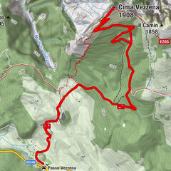
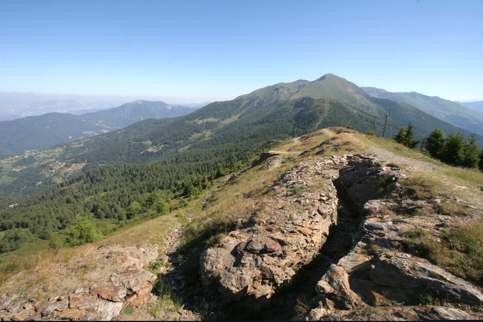
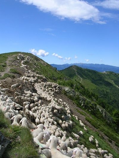
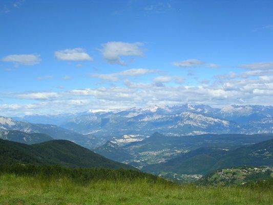
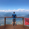
It is an excursion that takes place in height and therefore the walk is already outside the wood and on alpine pasturelands. It avails of a suggestive view over the Valsugana and on the two sides, the Brenta Dolomites can be admired.
- Nehézség
-
könnyű
- Értékelés
-
- Útvonal
-
Cima Panarotta (2.002 m)3,0 km
- Legjobb szezon
-
janfebrmárcáprmájjúnjúlaugszeptoktnovdec
- Legmagasabb pont
- 1.973 m
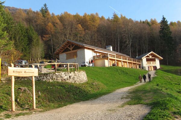
- Úti cél
-
Rifugio Panarotta
- Magassági profil
-
 © outdooractive.com


-
-
SzerzőA túra Walk - Panarotta 2002 a outdooractive.com feltéve, hogy.
GPS Downloads


Általános információ
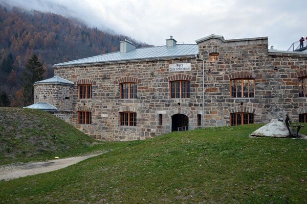
Kulturális/Történelmi
Ígéretes
További túrák a régiókban