GREEN TOUR – Stage 03 (Chioggia – Adria - 84 km)

Távolsági kerékpározás


- Rövid leírás
-
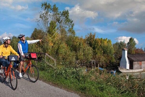
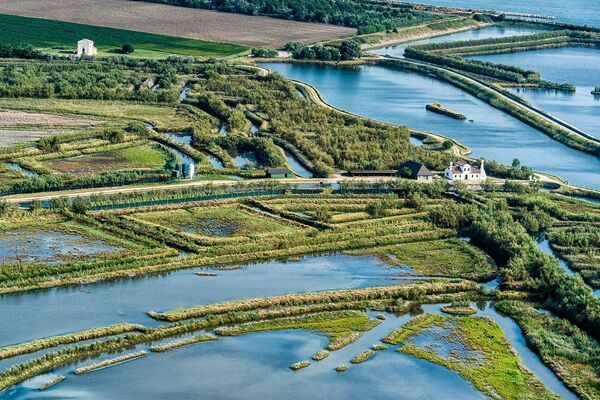
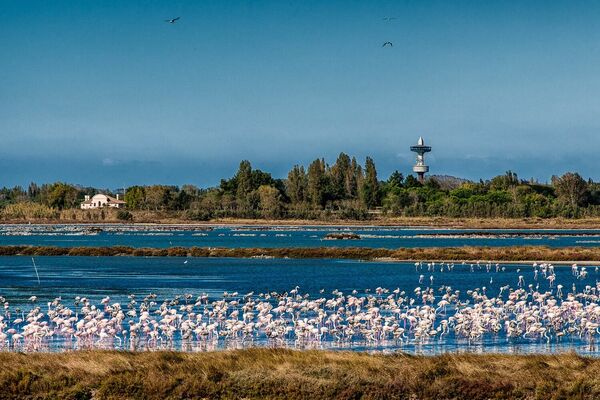
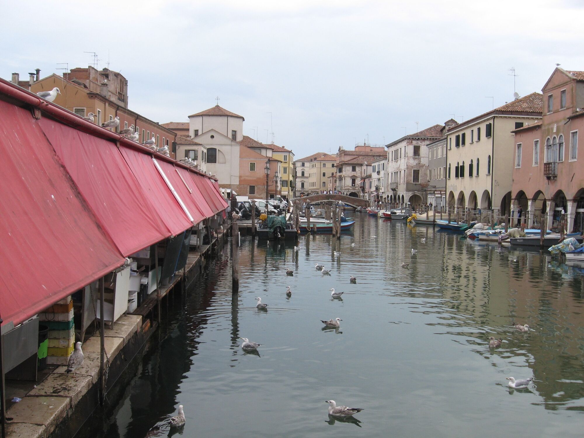
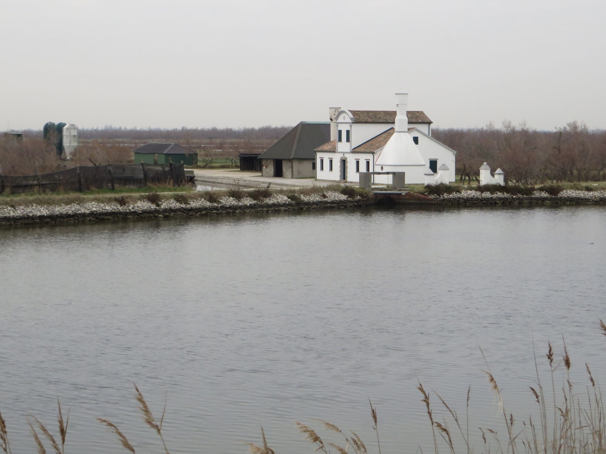
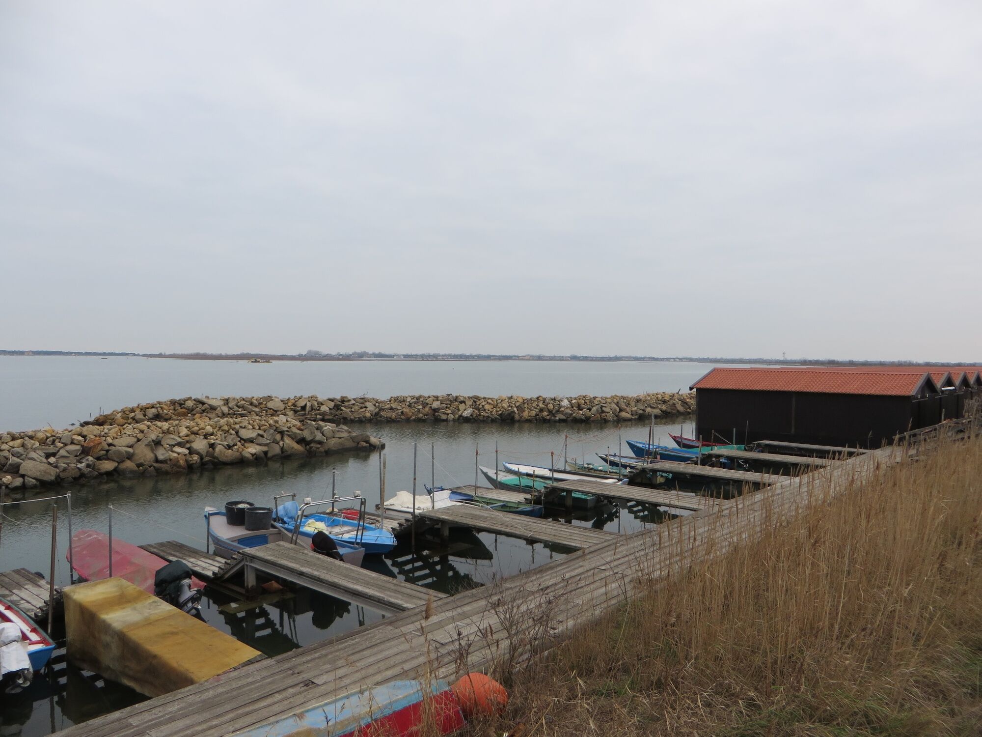
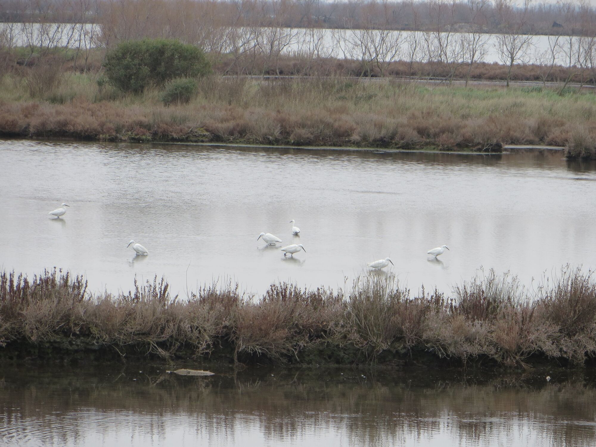
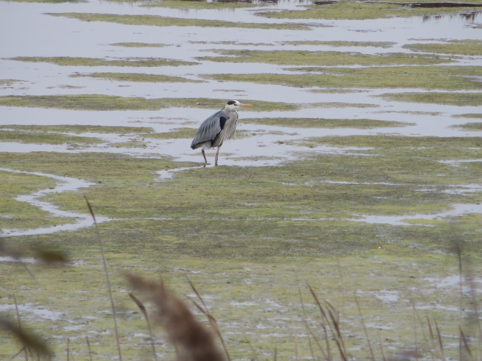
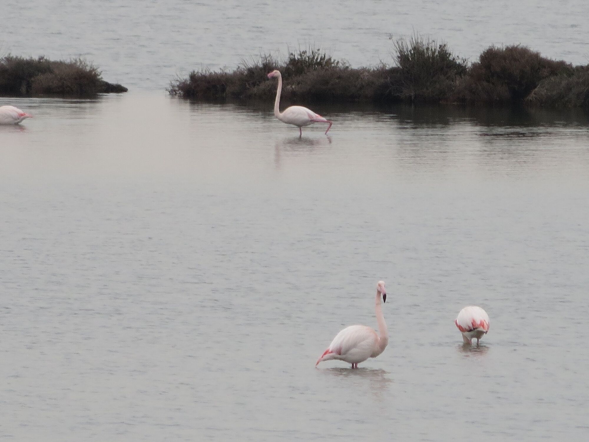
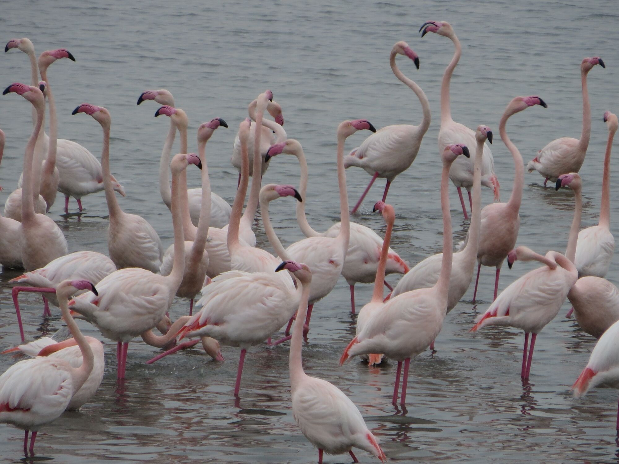
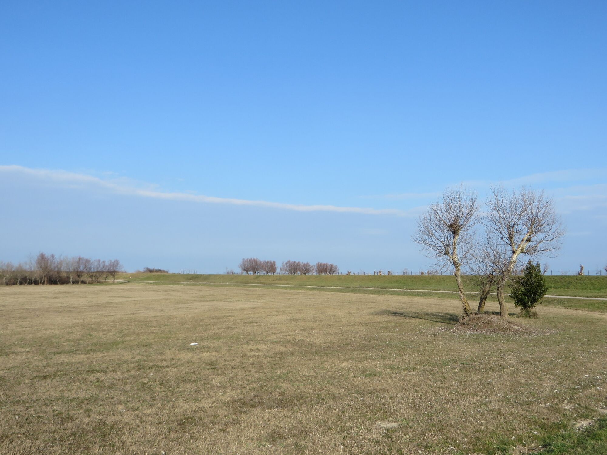
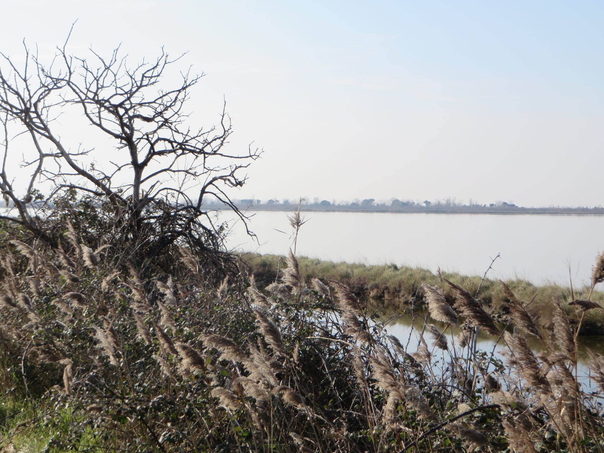
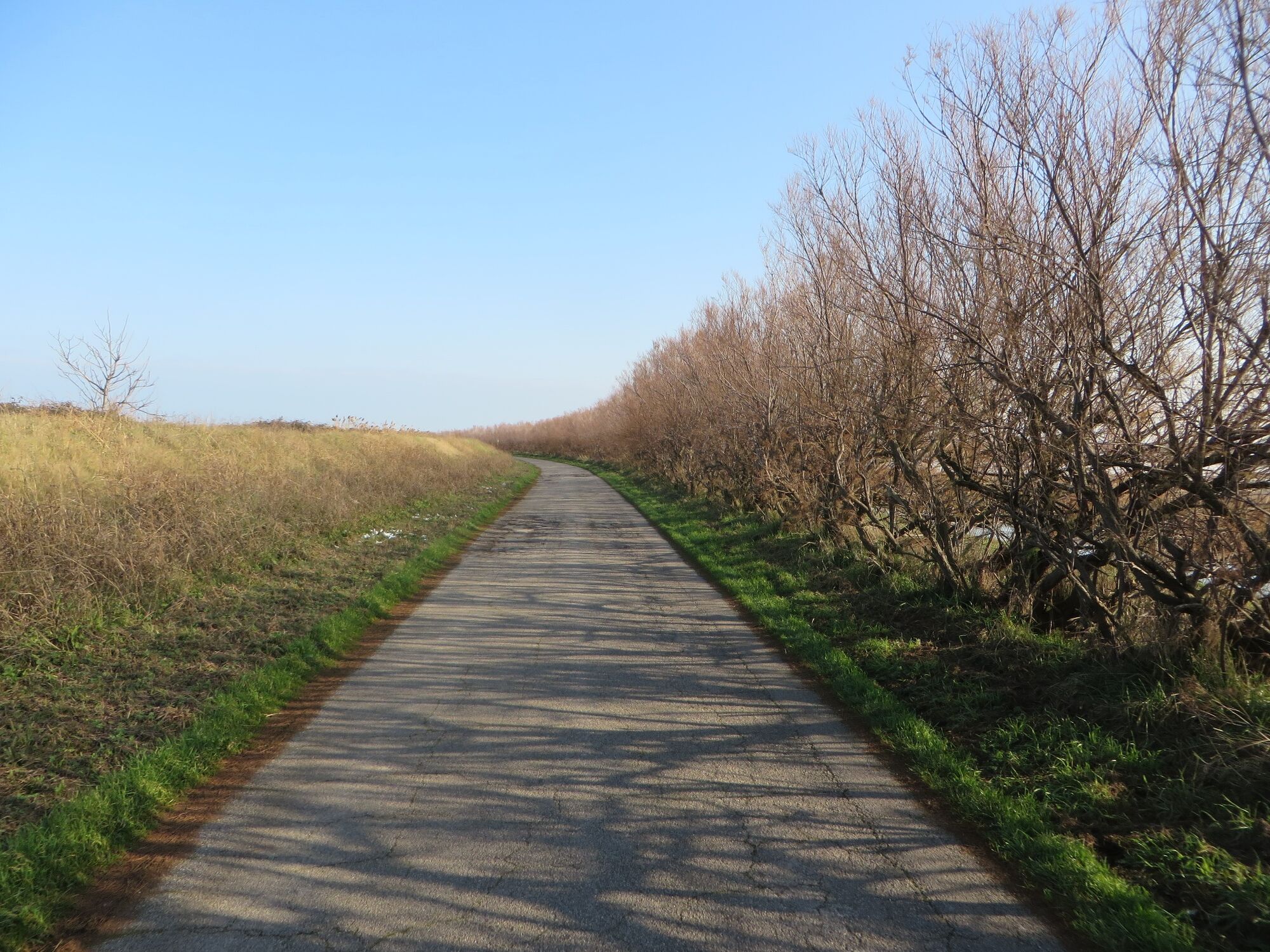
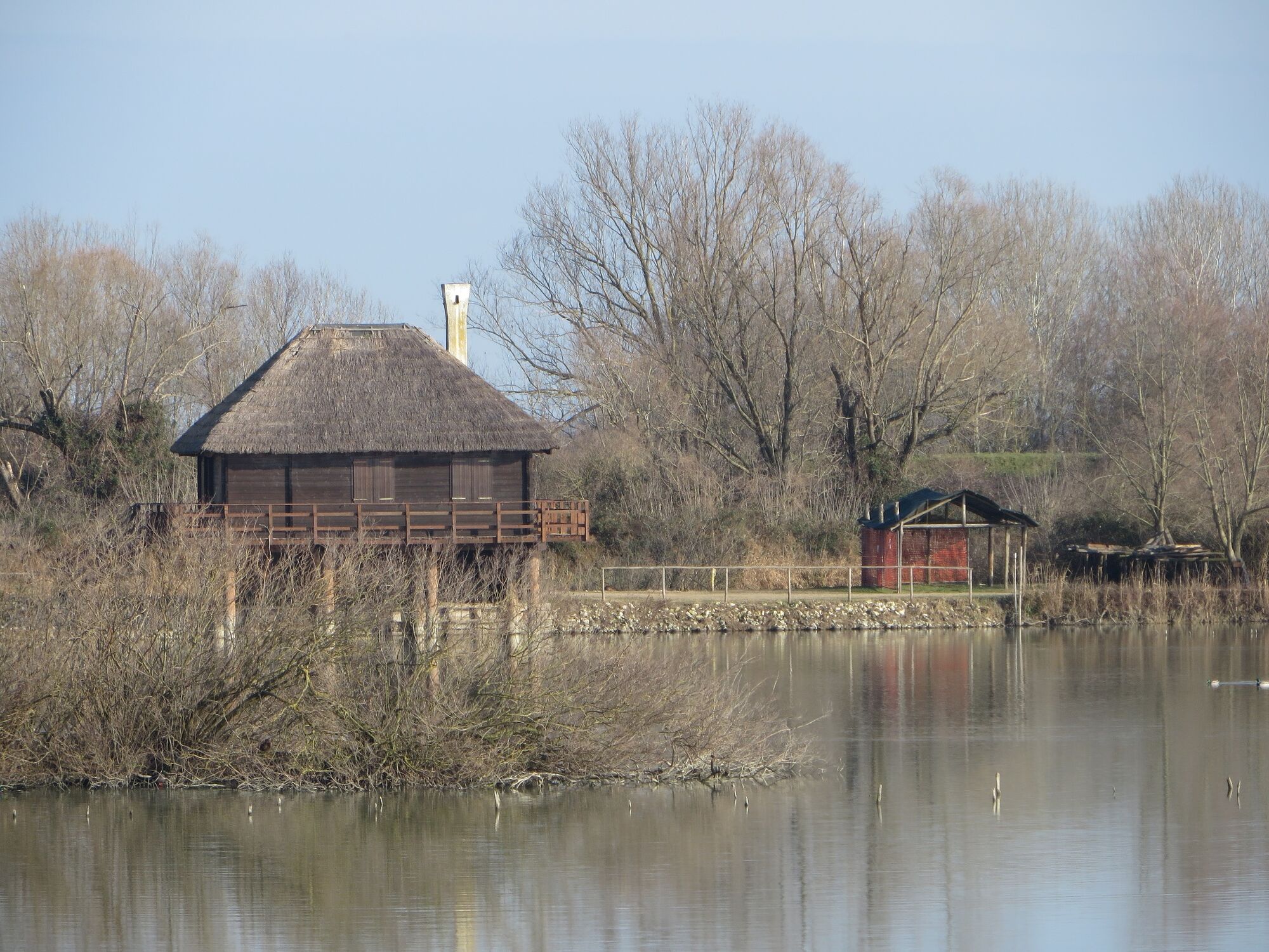
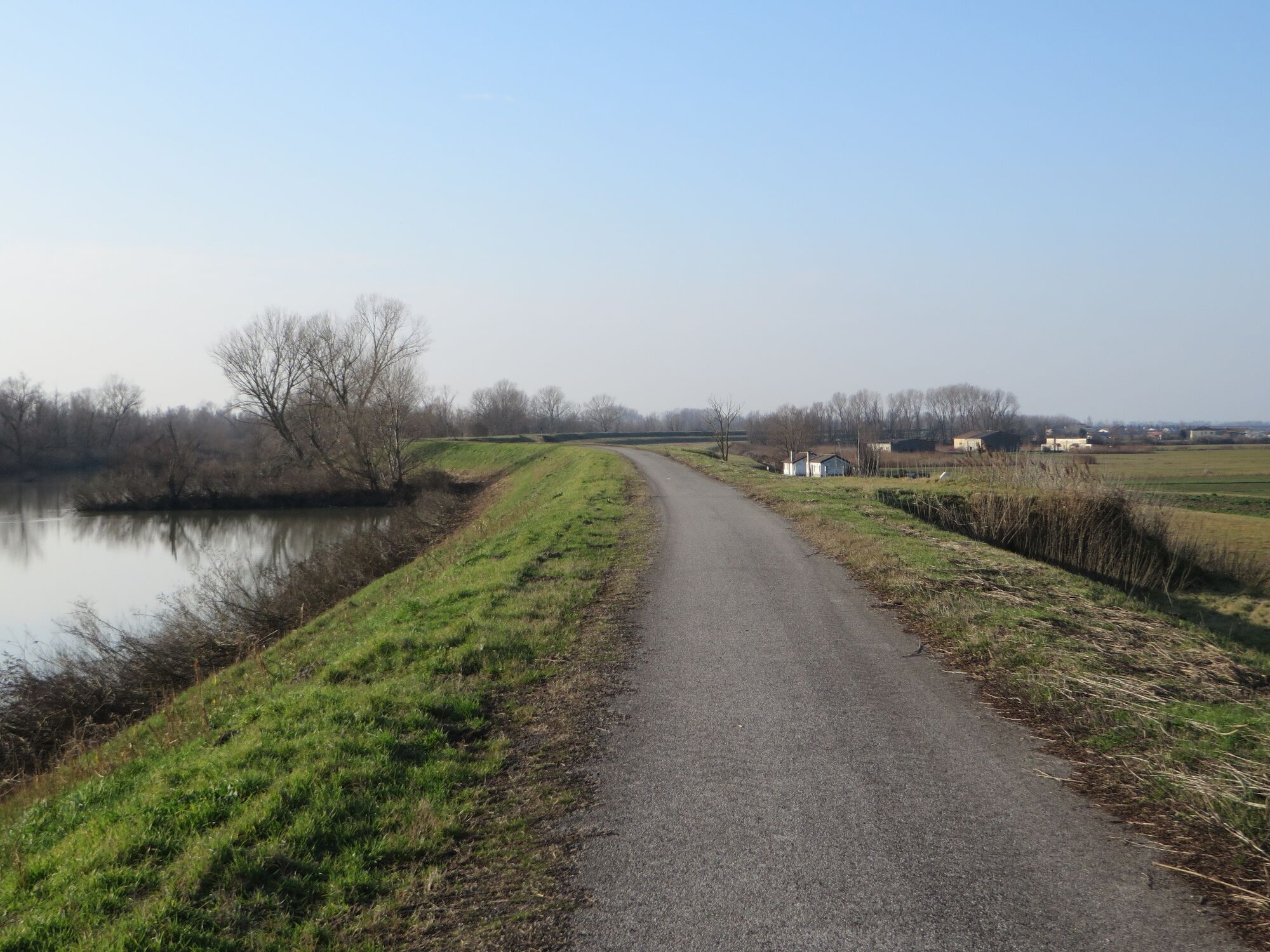
The longest (and, in some respects, most varied and intriguing) stage of the Green Tour takes us from the canals and Venetian coast of Chioggia and Sottomarina to the land-water scenarios of the Po Delta Park of Veneto, finally arriving in Adria, in the heart of the Polesine: an intense journey to discover one of the most surprising natural landscapes of northern Italy, loved and frequented both by the birds that populate it assiduously, as well as by fishing and birdwatching enthusiasts who appreciate its silence and boundless horizons.
- Nehézség
-
könnyű
- Értékelés
-
- Útvonal
-
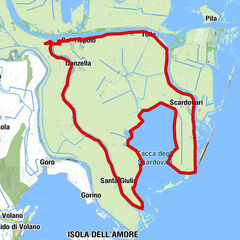
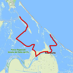
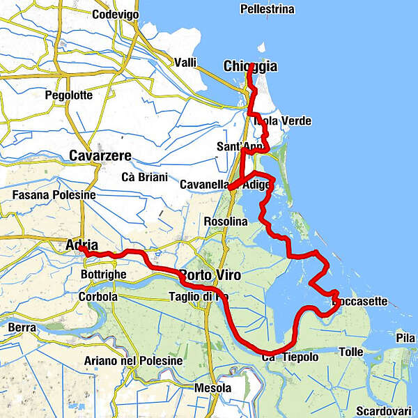
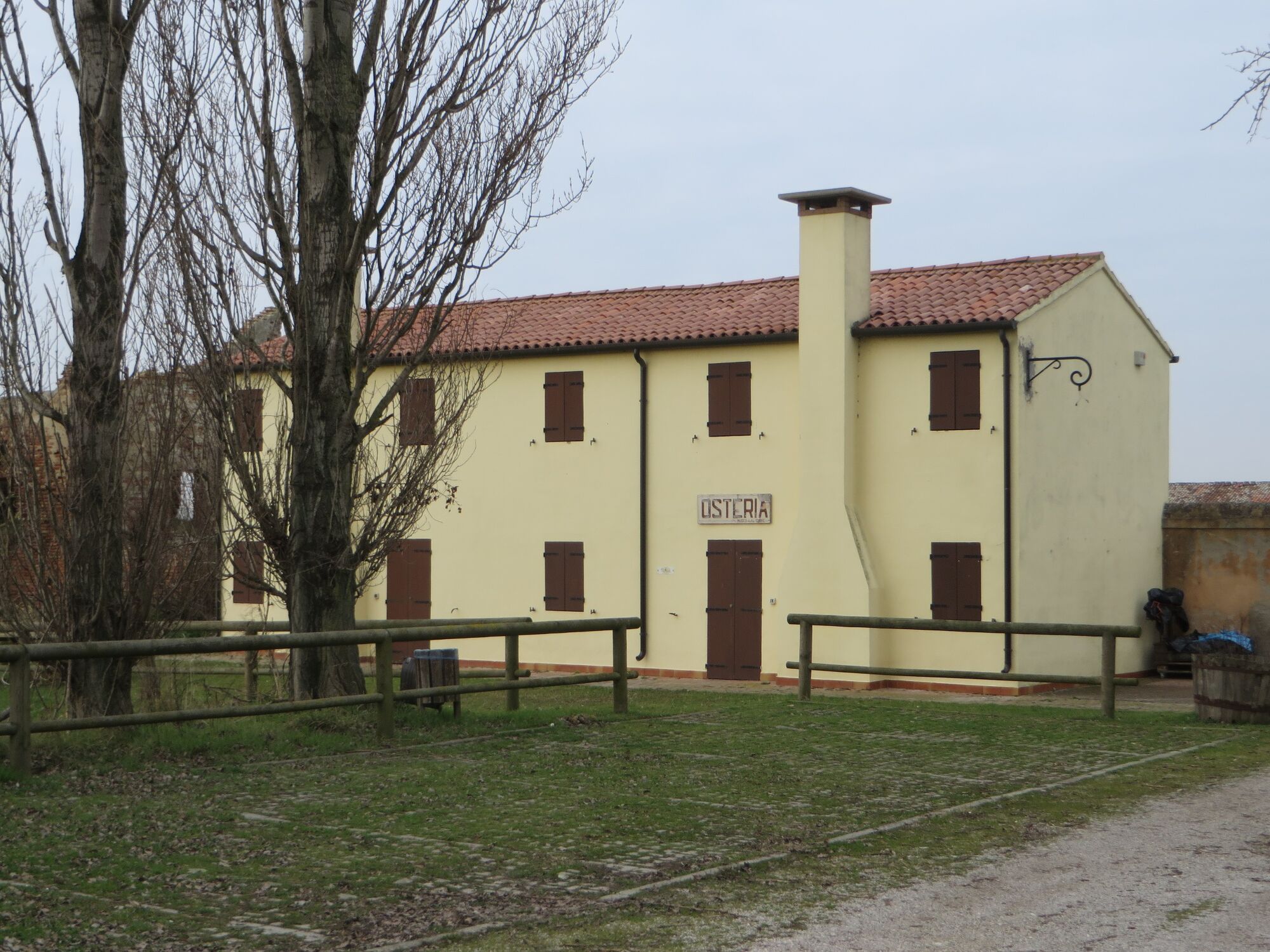
ChioggiaTorre di Sant'Andrea0,0 kmChiesa di Sant'Andrea0,1 kmChiesa Della Santissima Trinità0,3 kmSan Giacomo0,3 kmChiesa di San Francesco0,5 kmChioggia0,5 kmTempio di San Martino0,6 kmChiesa dei Santi Pietro e Paolo0,6 kmCattedrale di Santa Maria Assunta0,6 kmBorgo San Giovanni2,1 kmBrondolo3,7 kmChiesa di San Michele4,7 kmCa' Lino8,7 kmCasa Costa9,4 kmSant'Anna13,8 kmCavanella d'Adige18,1 kmRistorante Pizzeria Il Medioevo18,9 kmChiesa della Santissima Trinità37,0 kmTrattoria Al Porto37,0 kmPorto Levante37,1 kmCasone San Leonardo43,5 kmScanarello46,2 kmRistorante Oasi Val Pisani48,8 kmVillaregia (3 m)57,7 kmCa' Cappellino63,7 kmPorto Viro67,5 kmPiantamelon81,0 kmAdria84,0 km
- Legjobb szezon
-
janfebrmárcáprmájjúnjúlaugszeptoktnovdec
- Legmagasabb pont
- 7 m
- Úti cél
-
Adria (RO)
- Magassági profil
-
 © outdooractive.com

- Szerző
-
A túra GREEN TOUR – Stage 03 (Chioggia – Adria - 84 km) a outdooractive.com feltéve, hogy.
GPS Downloads


Általános információ
Frissítő megálló
Bennfentes tipp
Flora
Fauna
Ígéretes