© APT - Alpe Cimbra - Azienda per il turismo Alpe Cimbra

© APT - Alpe Cimbra - Azienda per il turismo Alpe Cimbra

© APT - Alpe Cimbra - Azienda per il turismo Alpe Cimbra
- Rövid leírás
-
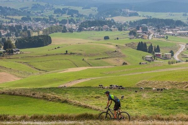
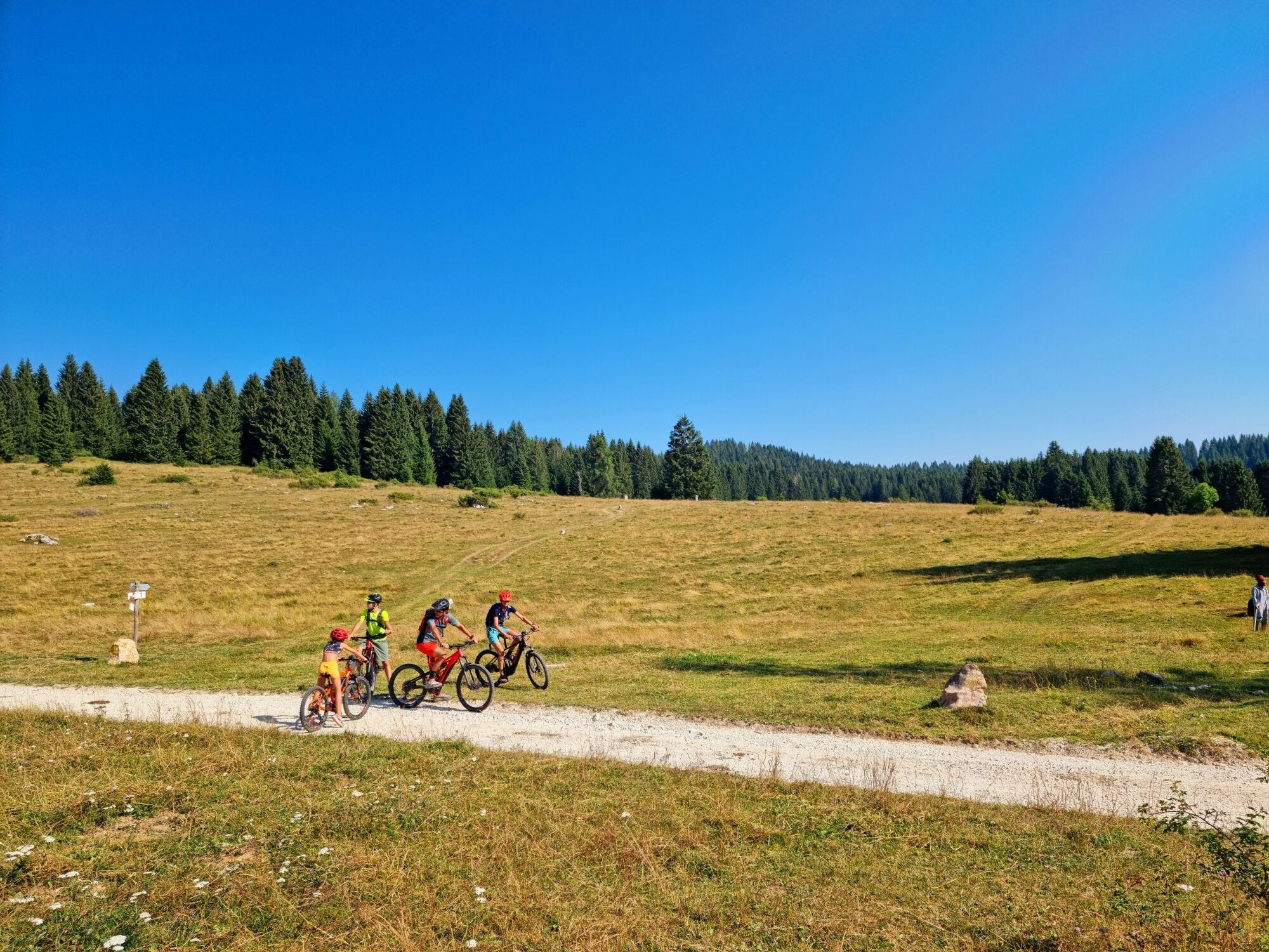
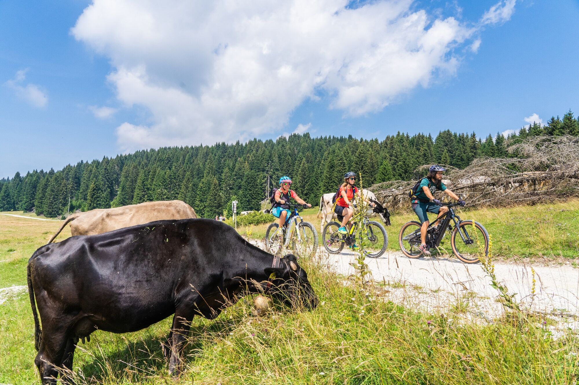
A unique experience that allows you to discover the amazing landscapes and the history of Alpe Cimbra. Going from one alpine cottage to the other you’ll travel through the areas where the First World War took place with the possibility to try typical foods. You might have the chance to meet marmots.
- Nehézség
-
közepes
- Értékelés
-
- Útvonal
-
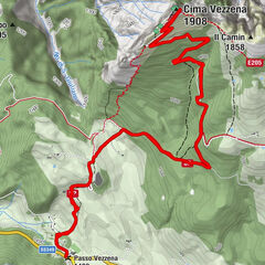
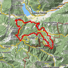
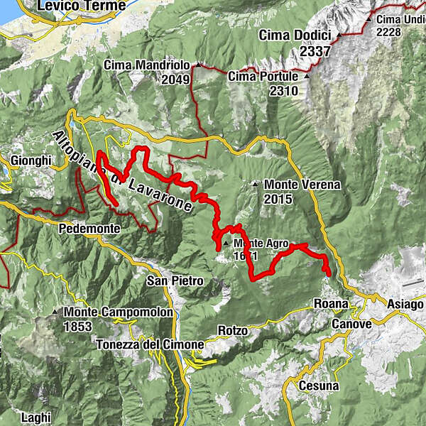
Curva del Martin2,6 kmPonte del Martin3,6 kmMalga Trugole (1.501 m)16,0 kmMalga Campo Posellaro (1.476 m)18,7 kmFonte Costesin (Obartrogar)21,2 kmTetsch30,3 kmLusern30,7 km
- Legjobb szezon
-
janfebrmárcáprmájjúnjúlaugszeptoktnovdec
- Legmagasabb pont
- 1.695 m
- Úti cél
-
Lusérn
- Magassági profil
-
 © outdooractive.com

- Szerző
-
A túra Cycle path Luserna-Roana a outdooractive.com feltéve, hogy.
GPS Downloads


Általános információ
Kulturális/Történelmi
Flora
Fauna
További túrák a régiókban