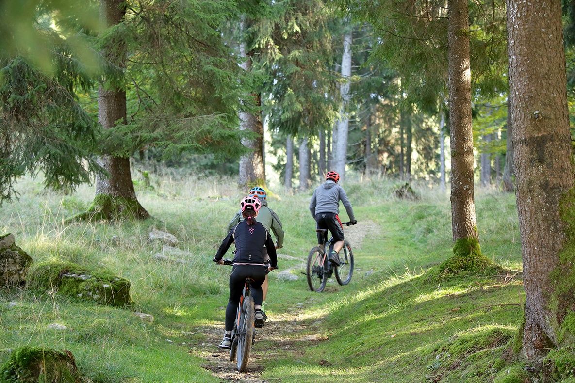
Mountain biking in the Cansiglio Forest

Mountainbike

© La via delle PREALPI - Editor - la Via delle PREALPI

© La via delle PREALPI - Editor - la Via delle PREALPI

© La via delle PREALPI - Editor - la Via delle PREALPI

© La via delle PREALPI - Editor - la Via delle PREALPI

© La via delle PREALPI - Editor - la Via delle PREALPI

- Rövid leírás
-
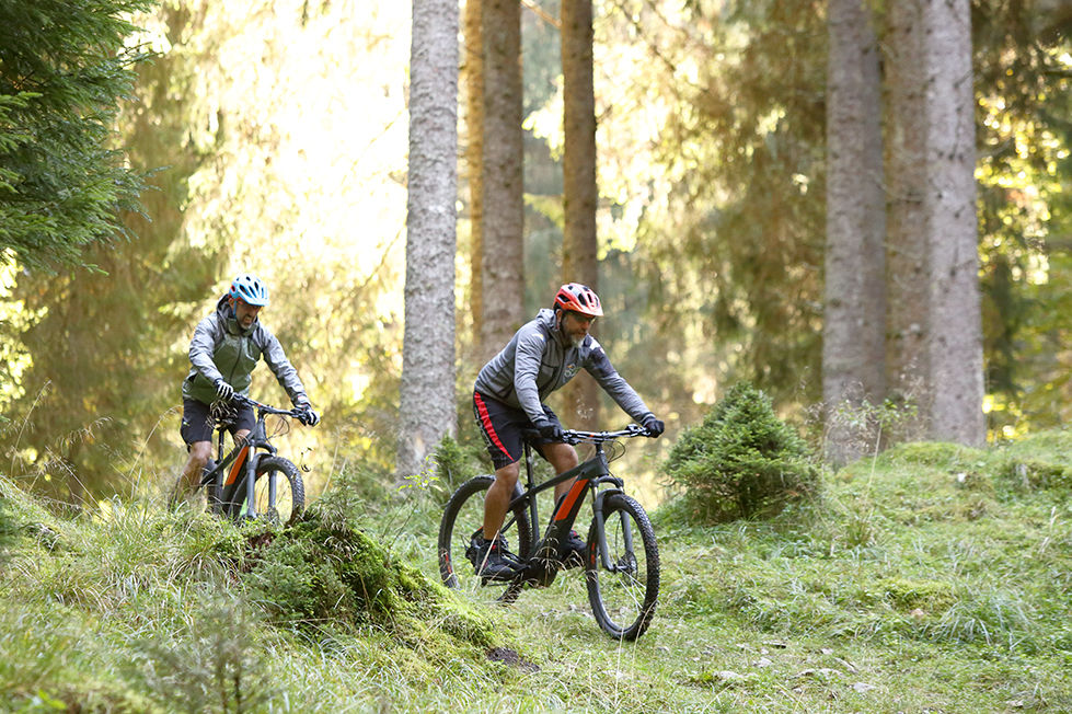
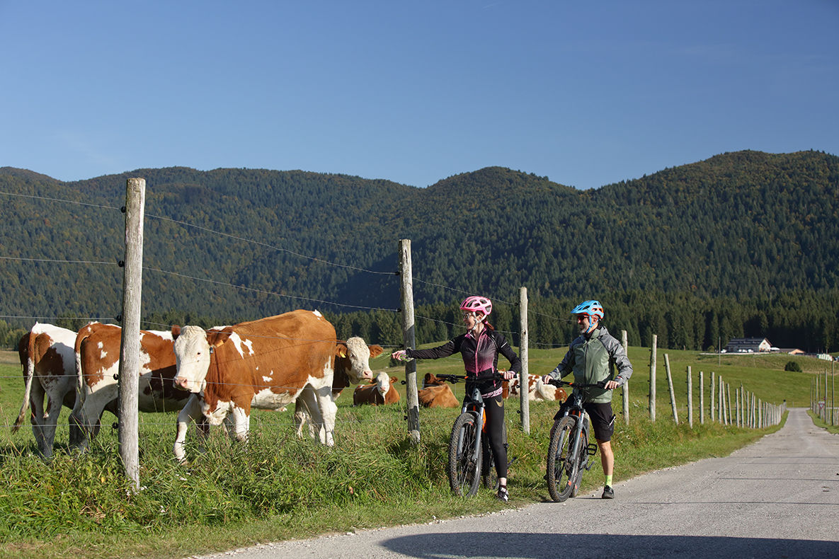
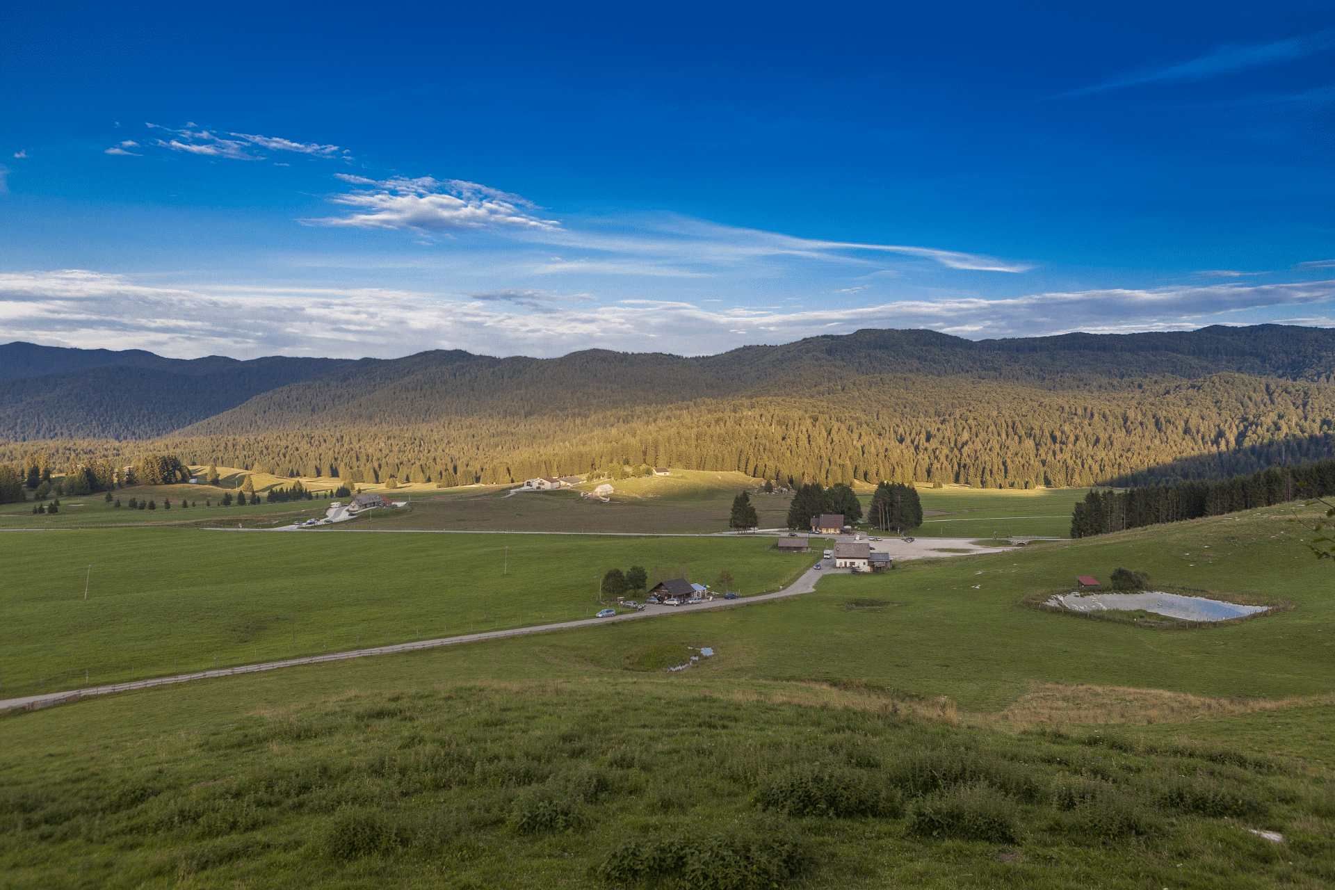
This MTB Cross Country route, suitable also for the less experienced, will make you discover some magical places in the Cansiglio Forest. The ring-route takes place mainly on dirt roads surrounded by the peaceful mountain pastures and forest roads, where you may come across the many herds of deer that inhabit the Forest.
- Nehézség
-
közepes
- Értékelés
-
- Útvonal
-
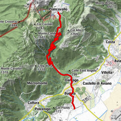
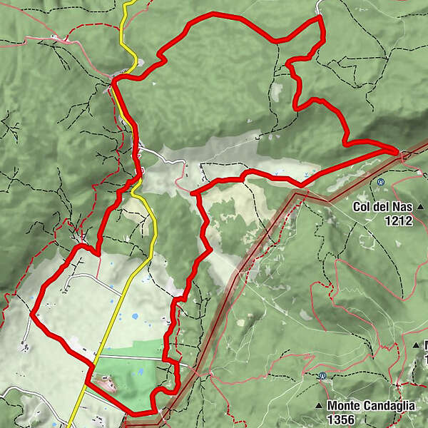
S. Osvaldo0,0 kmArcheton2,2 kmCasera Filippon2,8 kmCasera Mocenigo5,3 kmPian della Rosada11,1 kmCampon14,1 kmRistorante "La Huta"14,9 kmPian dell'Osteria14,9 kmLocanda "al Capriolo"15,1 kmVillaggio cimbro "I Pich"17,0 kmPian Cansiglio (1.020 m)18,8 kmRifugio Sant'Osvaldo18,9 km
- Legjobb szezon
-
janfebrmárcáprmájjúnjúlaugszeptoktnovdec
- Legmagasabb pont
- 1.100 m
- Úti cél
-
Car park of the Rifugio Sant'Osvaldo, Tambre (BL)
- Magassági profil
-
 © outdooractive.com
- Szerző
-
A túra Mountain biking in the Cansiglio Forest a outdooractive.com feltéve, hogy.
GPS Downloads


Általános információ
Bennfentes tipp
Flora
Fauna
Ígéretes
További túrák a régiókban
-
Belluno-Dolomiti
139
-
Alpago
11
-
Tambre
6