
© Lech Zürs Tourismus GmbH - Lech Zuers Tourismus GmbH


- Rövid leírás
-
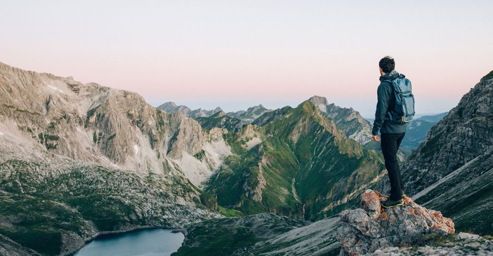
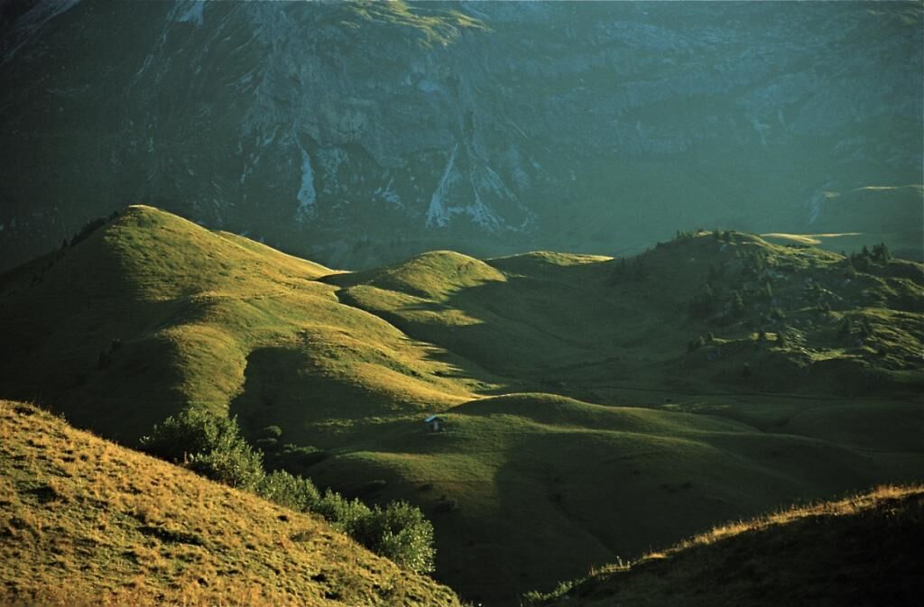
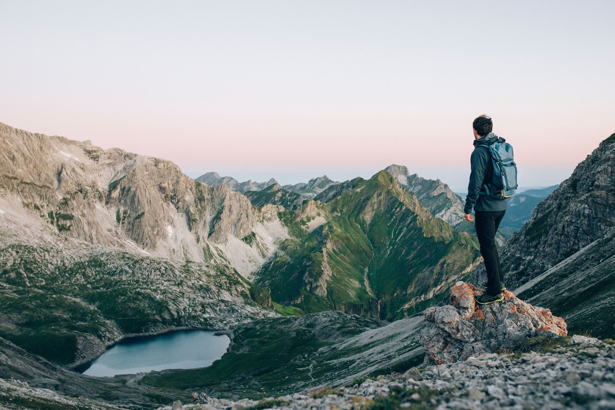
This hike is particularly rewarding when undertaken at sunrise. You can enjoy the first rays of sunlight of the new day across dewy, steaming pastures looking towards the peak.
- Nehézség
-
nehéz
- Értékelés
-
- Útvonal
-
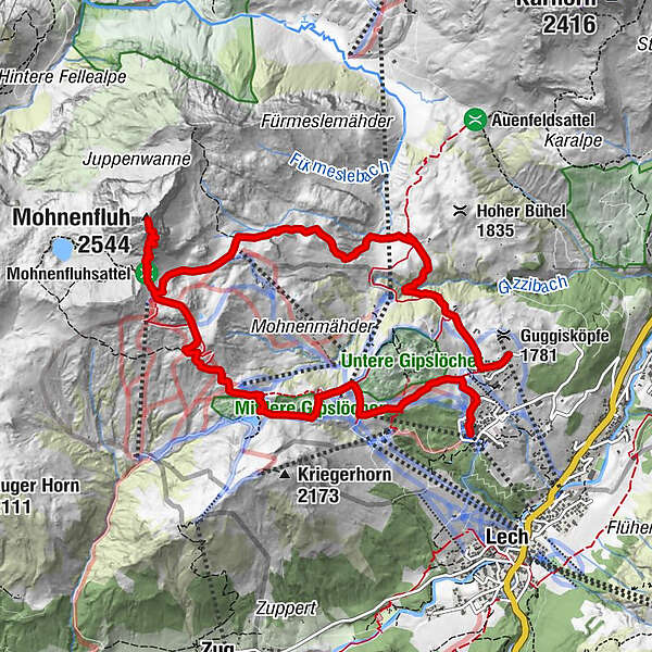
Mohnenfluh (2.544 m)5,6 kmKriegeralpe8,4 kmDer Wolf9,1 kmWeibermahdbahn9,2 kmOberlech10,8 kmBergbahn Lech - Oberlech11,0 km
- Legjobb szezon
-
janfebrmárcáprmájjúnjúlaugszeptoktnovdec
- Legmagasabb pont
- 2.525 m
- Úti cél
-
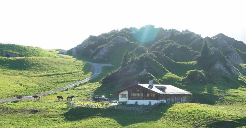
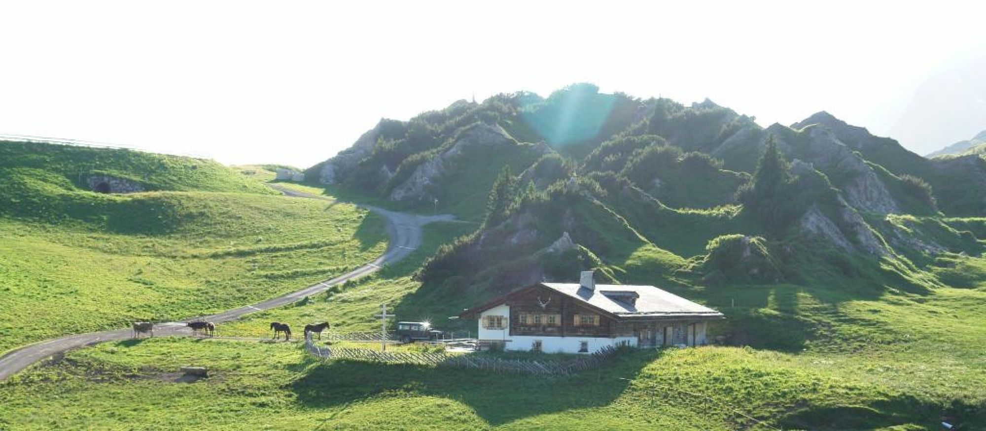
Ortsteil Oberlech
- Magassági profil
-

-

-
SzerzőA túra Mohnenfluh a outdooractive.com feltéve, hogy.
GPS Downloads


Általános információ
Frissítő megálló
Ígéretes
További túrák a régiókban


