

© Community - Maikel Gädker
© Lech Zürs Tourismus GmbH - Lech Zuers Tourismus GmbH
- Rövid leírás
-
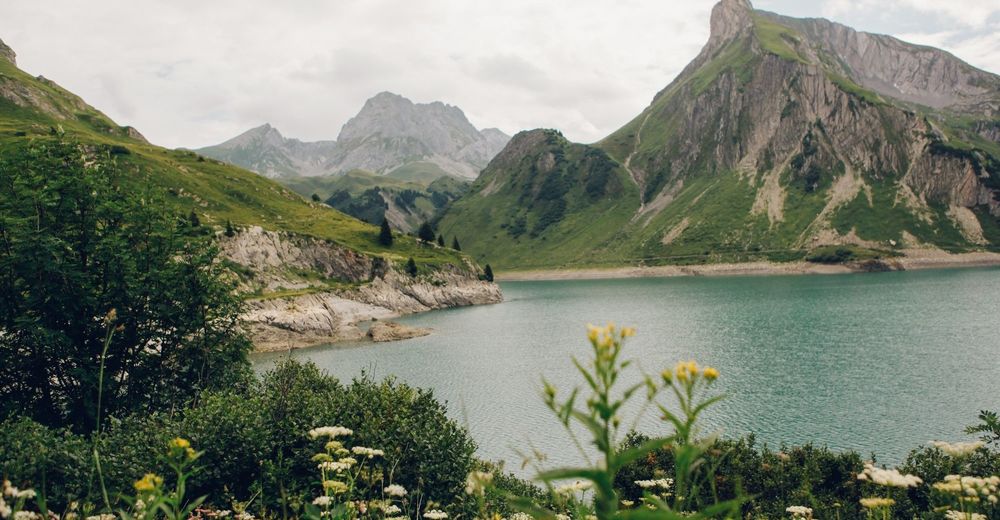
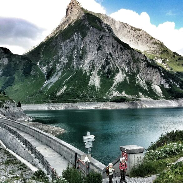
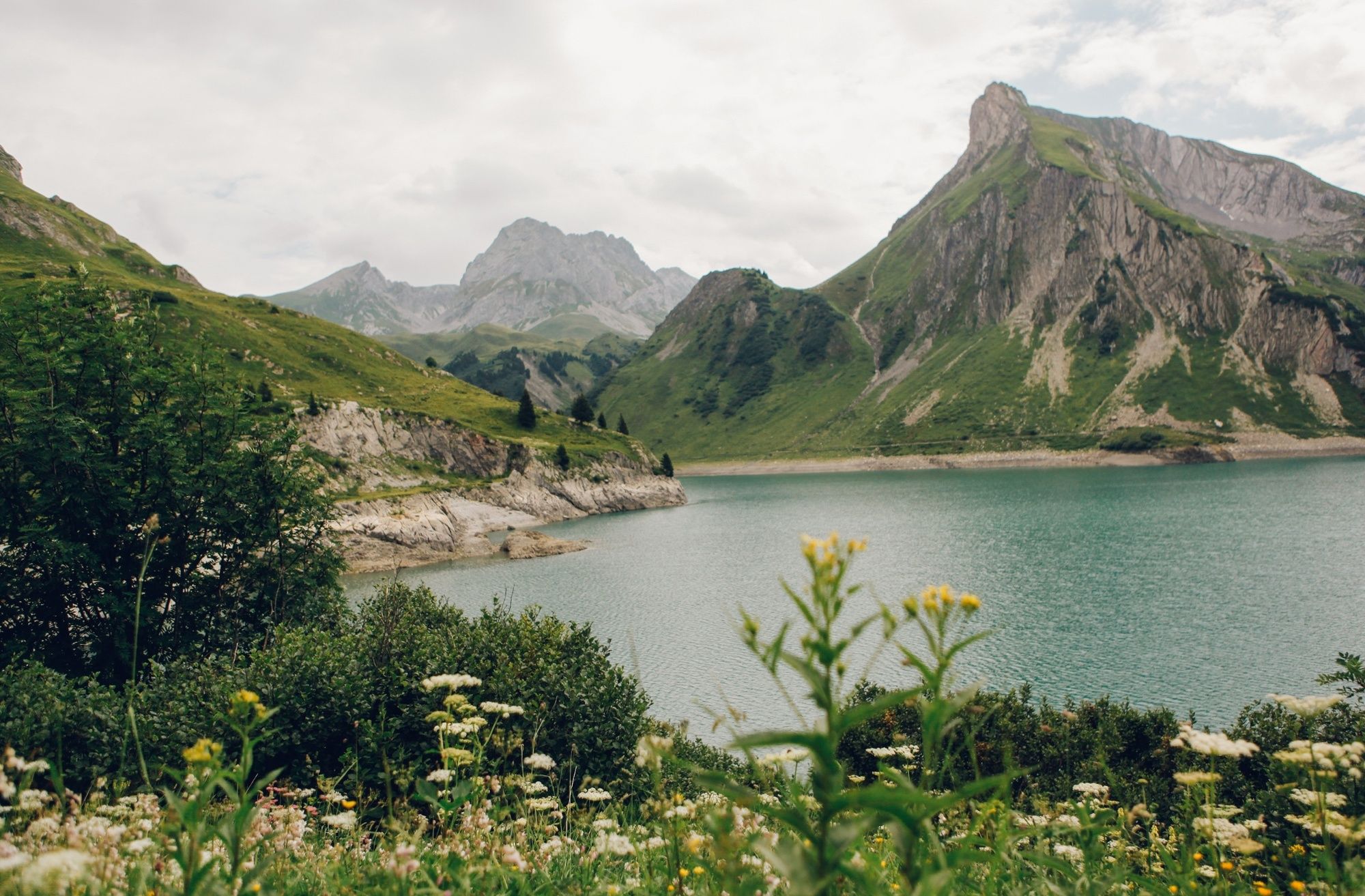
A short circular trail around the Spullersee with refreshment stops, picturesque views and climbing opportunities!
- Nehézség
-
könnyű
- Értékelés
-
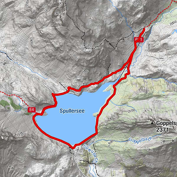
- Útvonal
-
Ravensburger Hütte3,6 km
- Legjobb szezon
-
janfebrmárcáprmájjúnjúlaugszeptoktnovdec
- Legmagasabb pont
- 1.943 m
- Úti cél
-
BusstopSpullersee
- Magassági profil
-

-

-
SzerzőA túra Hiking around the lake Spullersee a outdooractive.com feltéve, hogy.
GPS Downloads


Általános információ
Frissítő megálló
További túrák a régiókban


