Bridge building river Leiblach: Hiking along the border river - Waterway no.31 in the Western Allgaeu


")
- Rövid leírás
-
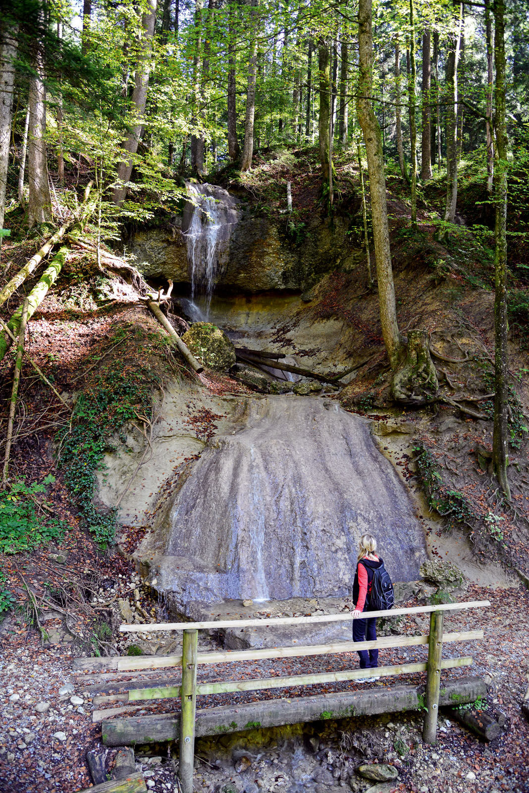
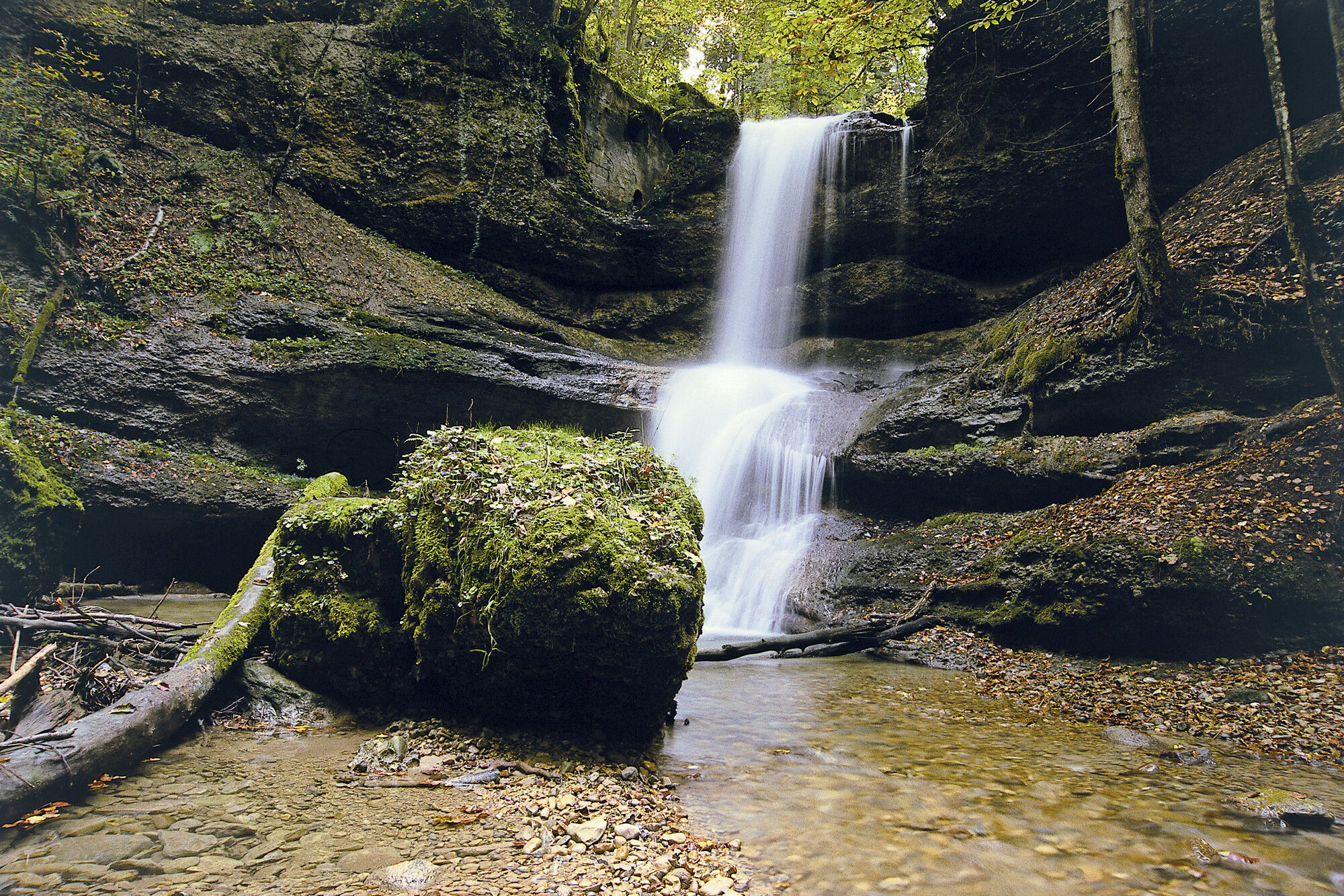
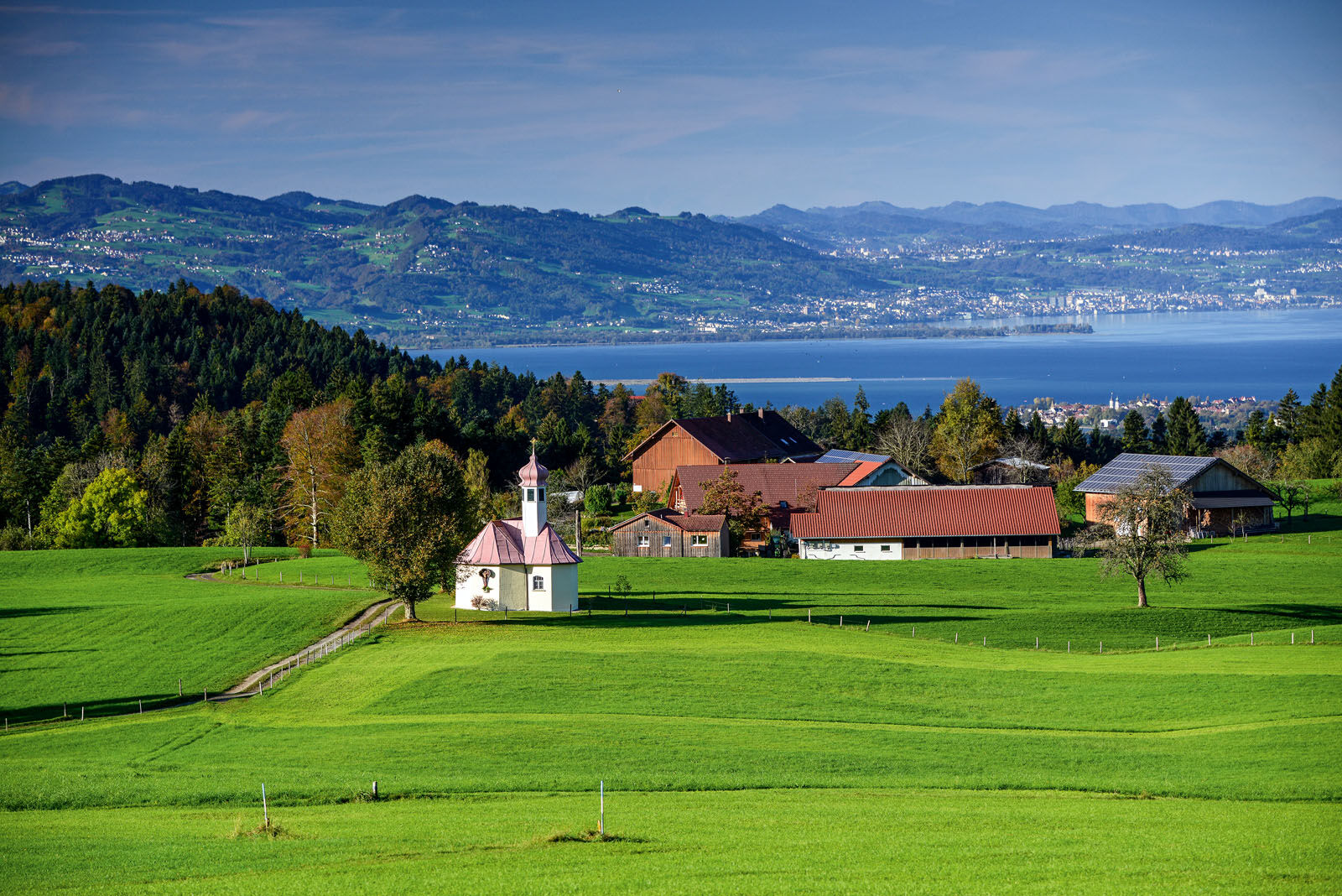
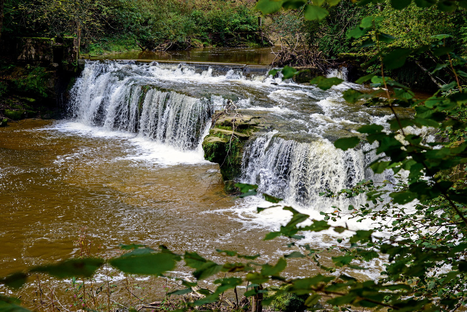
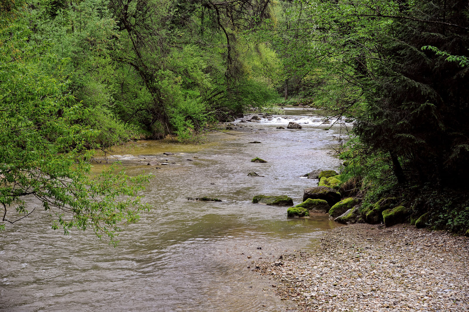
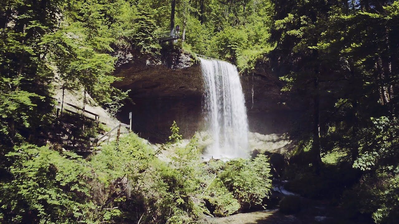
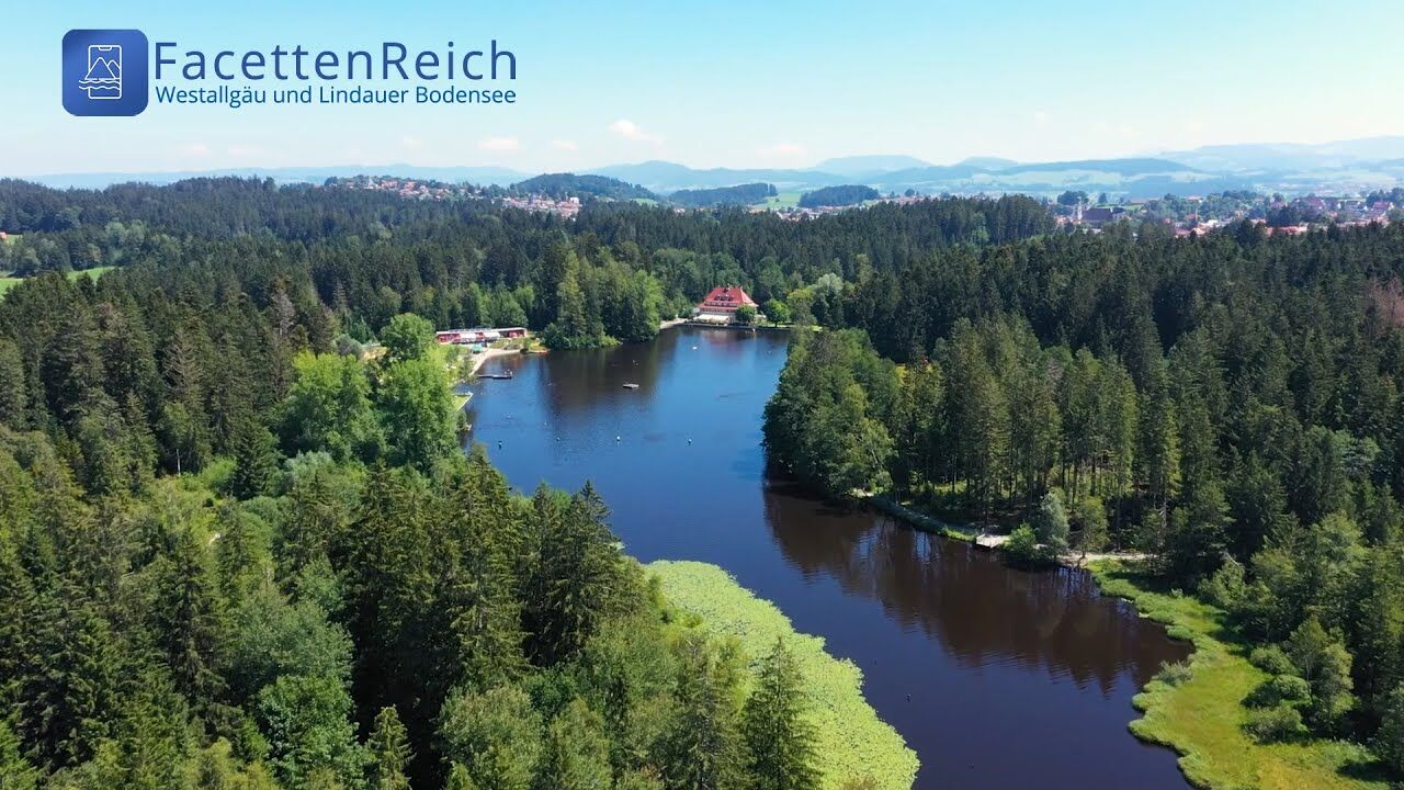
Three tours of the waterways of the Western Allgaeu (29,30 and 31) invite you to a cross-border discovery journey to the valley of the Leiblach. According to the motto 'building bridges'. The valley's lifeline is the river Leiblach, a near-natural river of the low mountain range, which leads to Lake Constance between Lindau and Hörbranz. The river's lower course marks the boarder between Germany and Austria. Enchanted ravine creeks, shady canyon forests, gushing waterfalls and much more views are waiting for the hikers. Tour no. 30 is a demanding day trip for hikers with outstanding endurance. It promises roaring waterfalls and generous views.
- Nehézség
-
nehéz
- Értékelés
-
- Útvonal
-
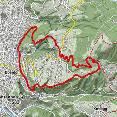
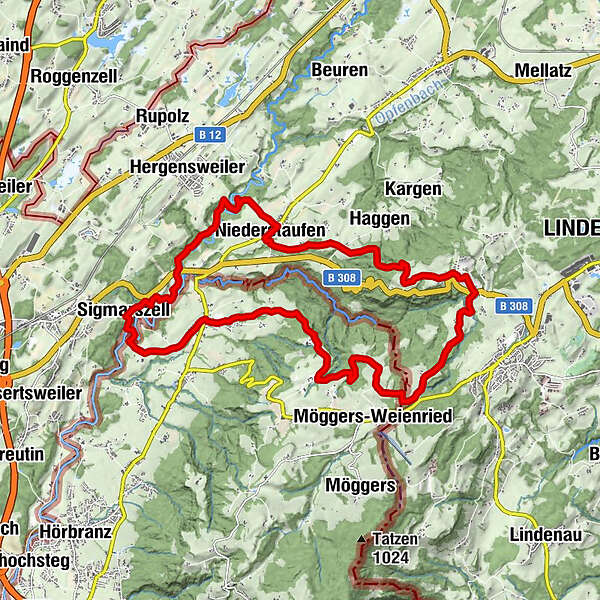
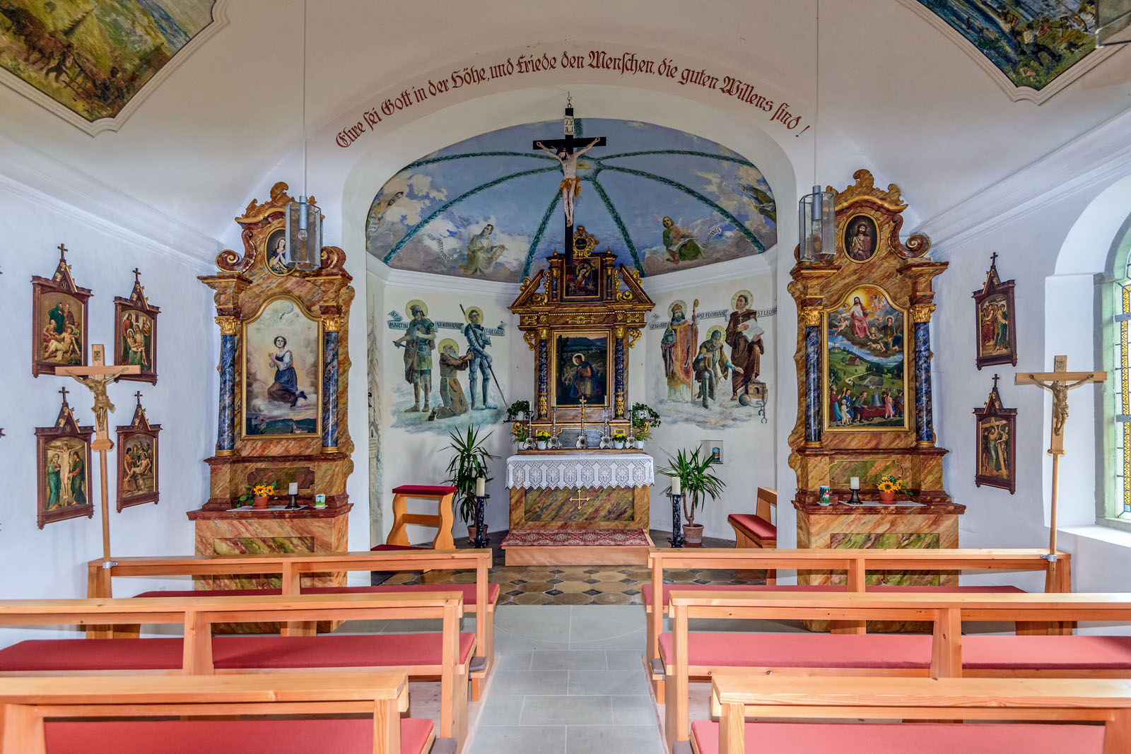
HohenweilerXaveriuskapelle0,4 kmSchönstein3,1 kmQuelltuff3,5 kmBuchans5,0 kmHasenreuter Wasserfälle6,5 kmAizenreute6,7 kmHauberfall7,3 kmRickenbach7,9 kmKleiner Wasserfall8,5 kmZweiter großer Wasserfall8,5 kmErster großer Wasserfall8,6 kmFeriendorf Saarland9,3 kmLötz9,6 kmSt. Wendelinskapelle10,0 kmKinberg10,3 kmHaggen11,5 kmAdelberg12,2 kmGeislehen13,2 kmSt. Peter und Paul13,7 kmNiederstaufen13,8 kmKnochenmühle15,0 kmDornach18,3 kmSigmarszell19,0 kmSt. Gallus19,0 kmEgons Buschenschank20,0 kmRied20,0 kmSt. Georg21,2 kmHohenweiler21,3 km
- Legjobb szezon
-
janfebrmárcáprmájjúnjúlaugszeptoktnovdec
- Legmagasabb pont
- 809 m
- Úti cél
-
Community office Hohenweiler/alternatively Sigmarszell-Kirchdorf, forest experience path Moeggers or Cascades of Scheidegg
- Magassági profil
-


- Szerző


Általános információ
-
Bodensee - Deutschland
1106
-
Westallgäu
1263
-
Hohenweiler
268