

© Liechtenstein Marketing


© Liechtenstein Marketing


- Rövid leírás
-
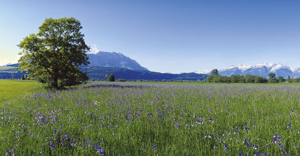
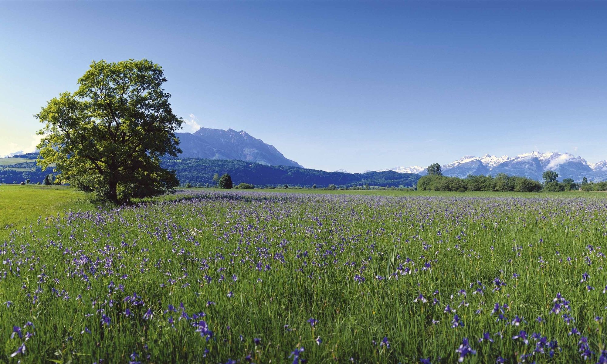
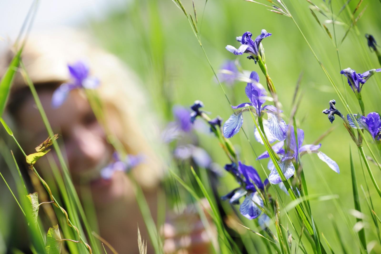
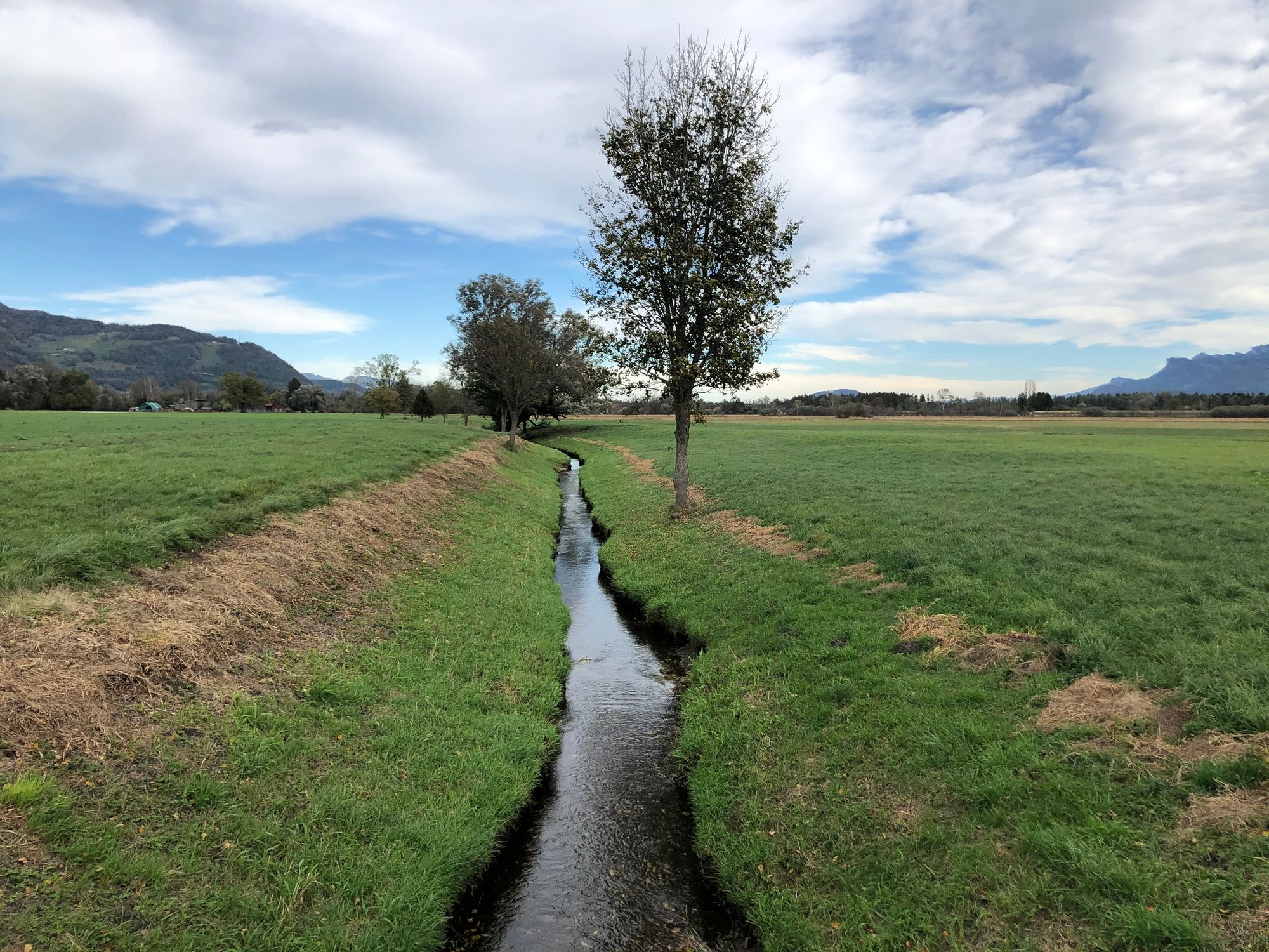
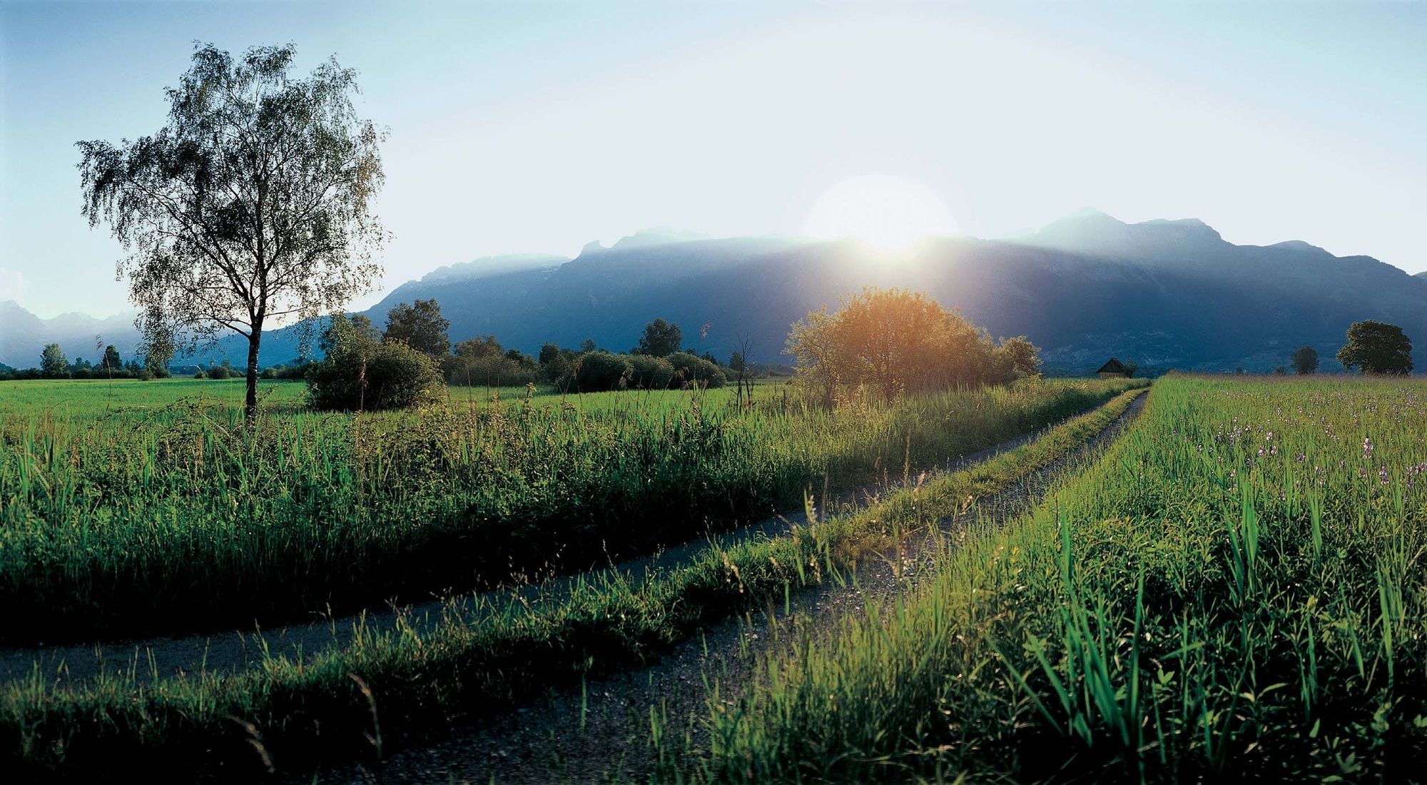
The Ruggeller Riet forms – together with the Bangser Riet in neighbouring Vorarlberg – a magnificent wetland landscape.
- Nehézség
-
könnyű
- Értékelés
-
- Útvonal
-
Ruggell (433 m)Feldkirch3,0 kmRuggell (433 m)10,5 kmRestaurant Tang10,6 km
- Legjobb szezon
-
janfebrmárcáprmájjúnjúlaugszeptoktnovdec
- Legmagasabb pont
- 441 m
- Úti cél
-
Ruggell
- Magassági profil
-
 © outdooractive.com


-

-
SzerzőA túra Around the Ruggeller Riet a outdooractive.com feltéve, hogy.
GPS Downloads


Általános információ
Frissítő megálló
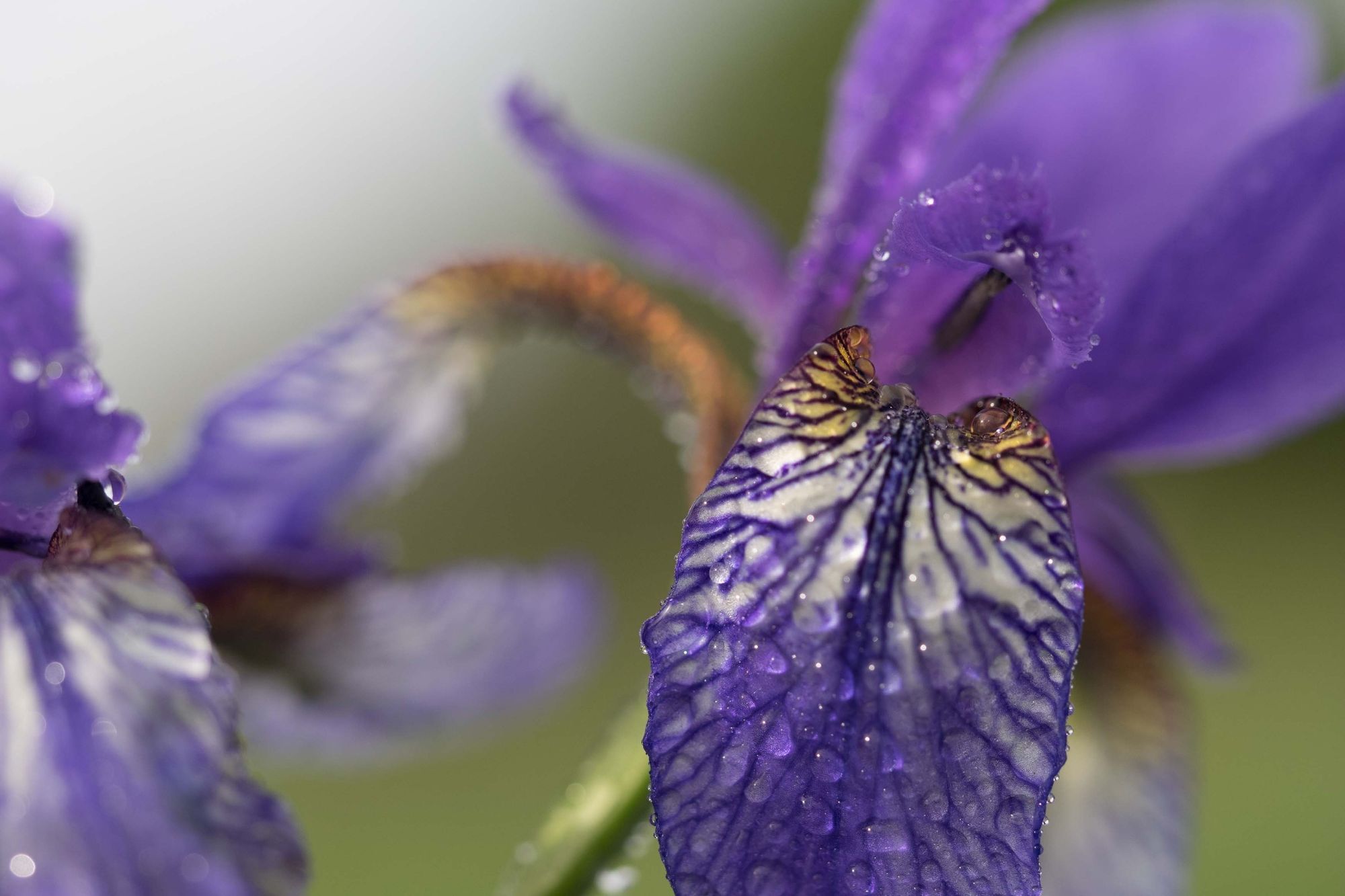
Flora
Fauna
További túrák a régiókban
-
Appenzellerland
1955
-
St. Galler Rheintal
1333
-
Schellenberg
297


