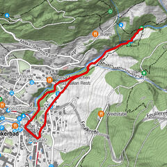
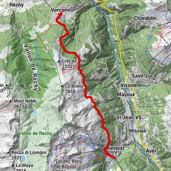
Tour of the Val d’Anniviers: Grimentz – Vercorin (stage 4)

Kirándulás

© Valais/Wallis Promotion - Alban Mathieu

© Valais/Wallis Promotion - Alban Mathieu

© Valais/Wallis Promotion - Alban Mathieu

© Valais/Wallis Promotion - Alban Mathieu

- Rövid leírás
-
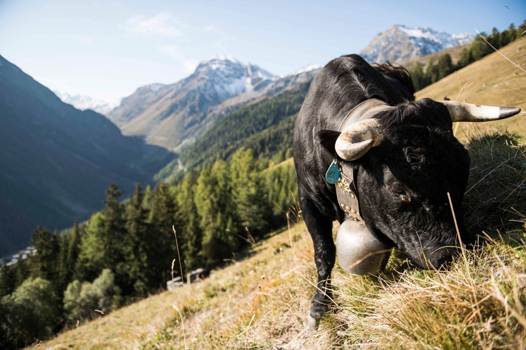
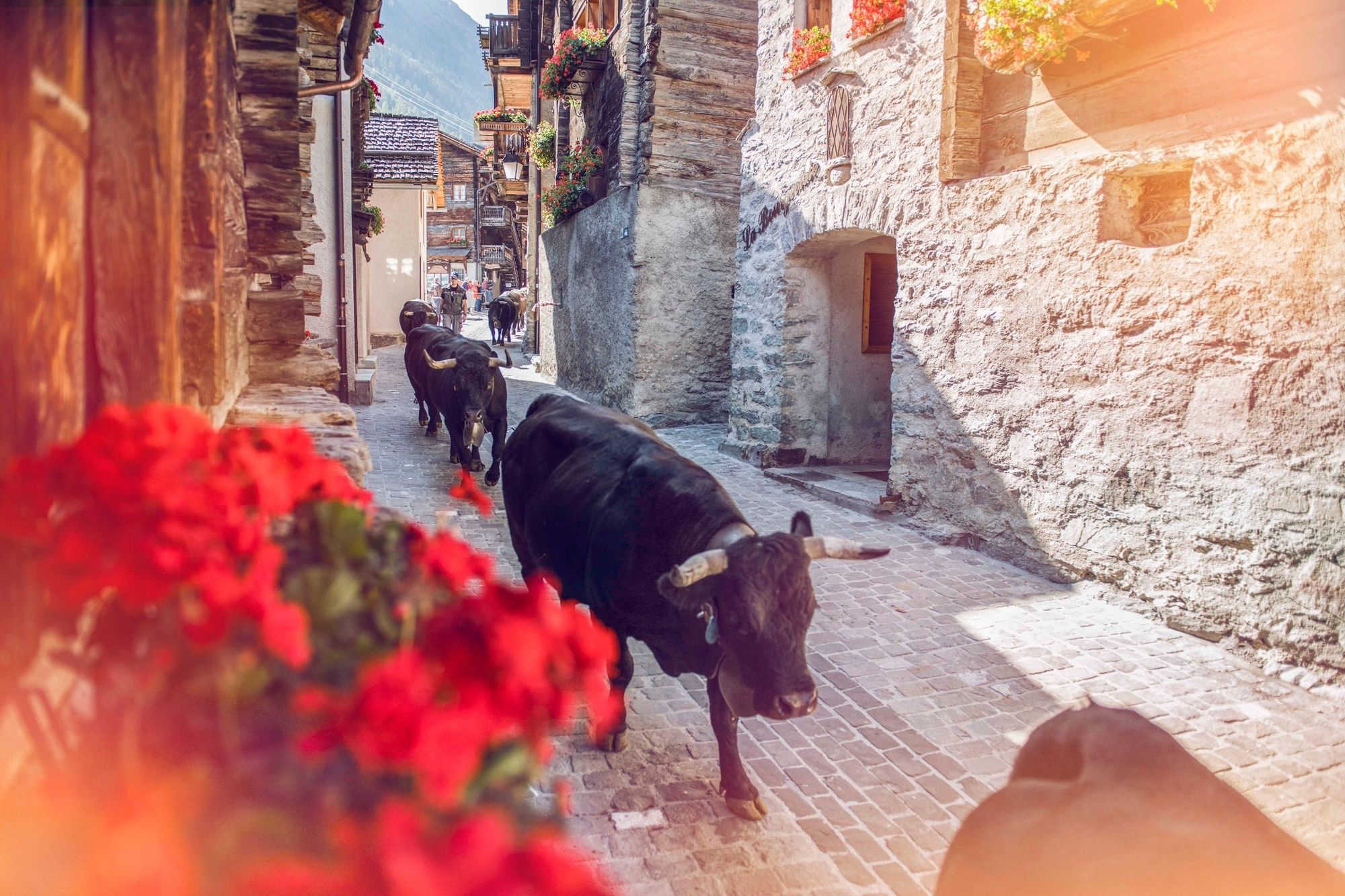
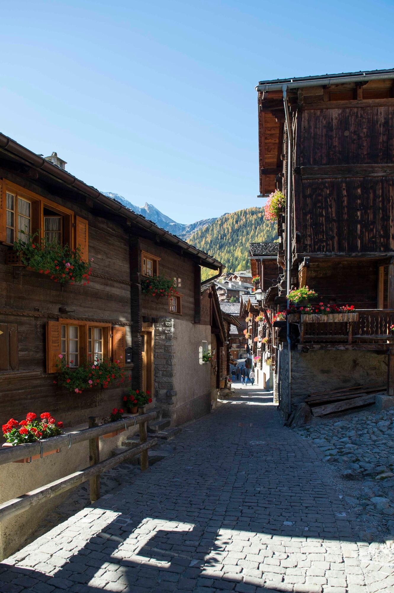
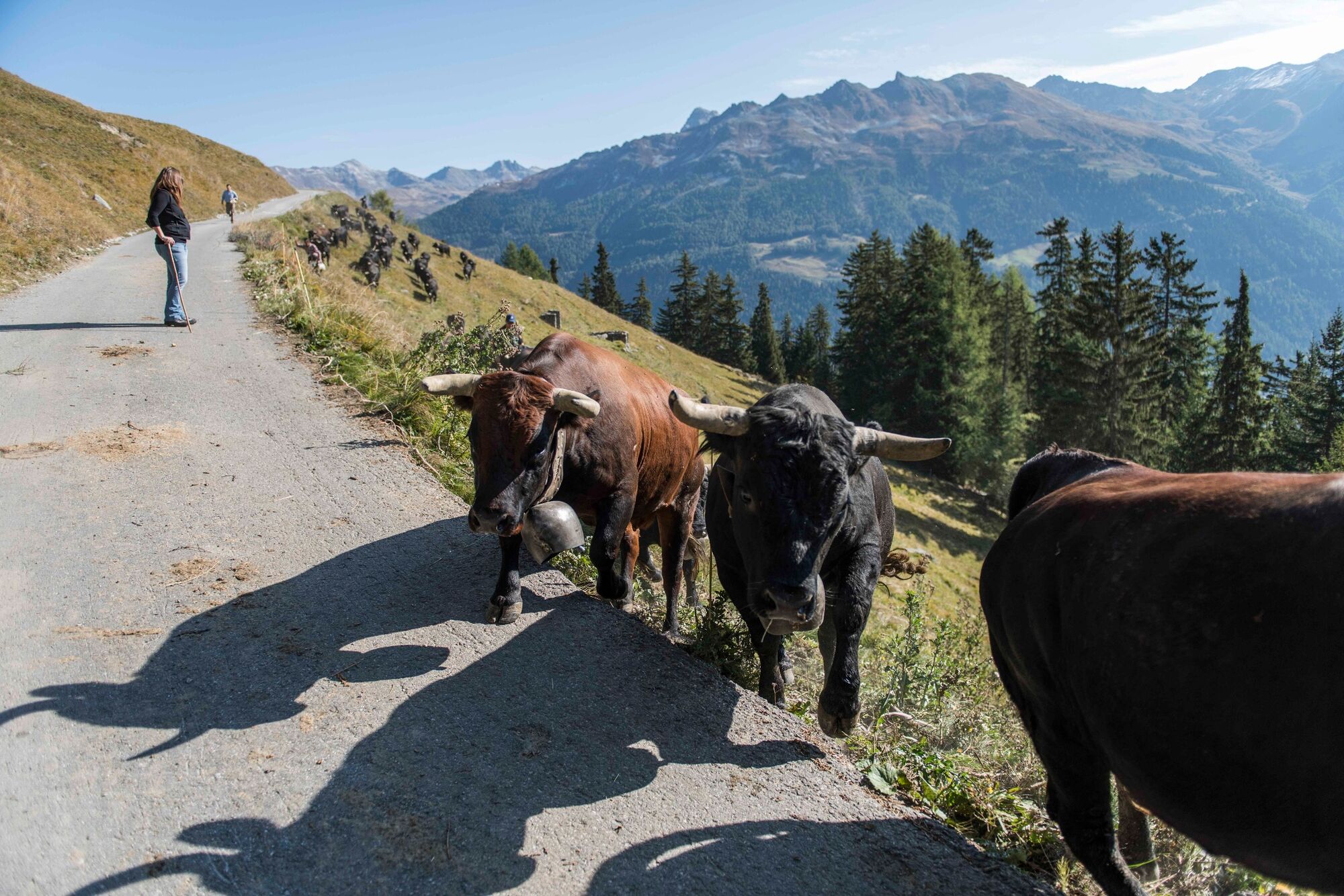
Panoramic trail on the western slopes overlooking the Val d’Anniviers, linking two of the valley’s most delightful villages: picturesque Grimentz and arty Vercorin.
- Nehézség
-
közepes
- Értékelés
-
- Útvonal
-
Grimentz (1.564 m)0,3 kmSigeroulaz (1.861 m)10,0 kmLiches12,2 kmVercorin (1.330 m)12,9 km
- Legjobb szezon
-
janfebrmárcáprmájjúnjúlaugszeptoktnovdec
- Legmagasabb pont
- 2.135 m
- Úti cél
-
Vercorin
- Magassági profil
-
 © outdooractive.com
-

-
SzerzőA túra Tour of the Val d’Anniviers: Grimentz – Vercorin (stage 4) a outdooractive.com feltéve, hogy.
GPS Downloads


Általános információ
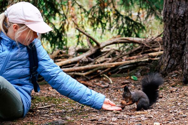
Flora
Fauna
Ígéretes
További túrák a régiókban
-
Thyon les Collons
1426
-
Sierre Anniviers
782
-
Vissoie
371