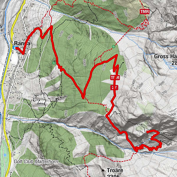
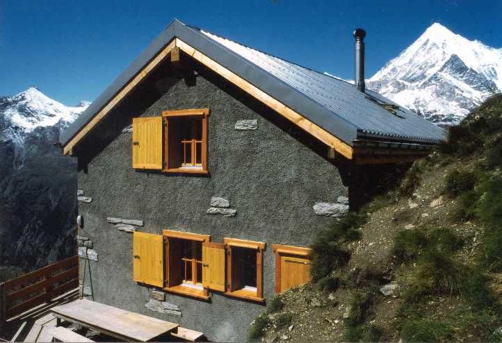
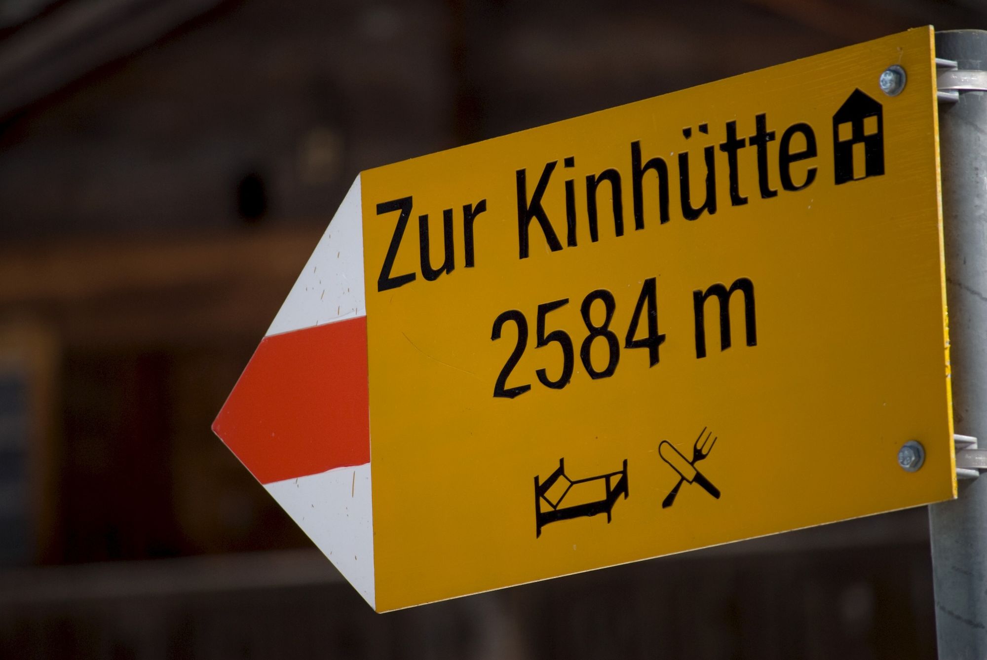
Hike to the Kin Hut - via Randa (Nr. 67)

Kirándulás

© Unbekannt - Zermatt Tourismus

© Kurt Müller - Zermatt Tourismus

© Vasco Coutinho - Zermatt Tourimus

- Rövid leírás
-
In this region above Randa, names of geographical features such as Wildkin and Wildibach hint at the wild nature of the landscape. It’s no surprise that this walk up to the Kin Hut is also wild and beautiful.
- Nehézség
-
közepes
- Értékelés
-
- Útvonal
-
Randa (1.406 m)Treff 4940,3 kmKirche St. Sebastian0,3 kmKinhütte (2.584 m)8,0 km
- Legjobb szezon
-
janfebrmárcáprmájjúnjúlaugszeptoktnovdec
- Legmagasabb pont
- 2.581 m
- Úti cél
-
Kin Hut (2,582 m)
- Magassági profil
-
 © outdooractive.com
- Szerző
-
A túra Hike to the Kin Hut - via Randa (Nr. 67) a outdooractive.com feltéve, hogy.
GPS Downloads

Általános információ
Frissítő megálló
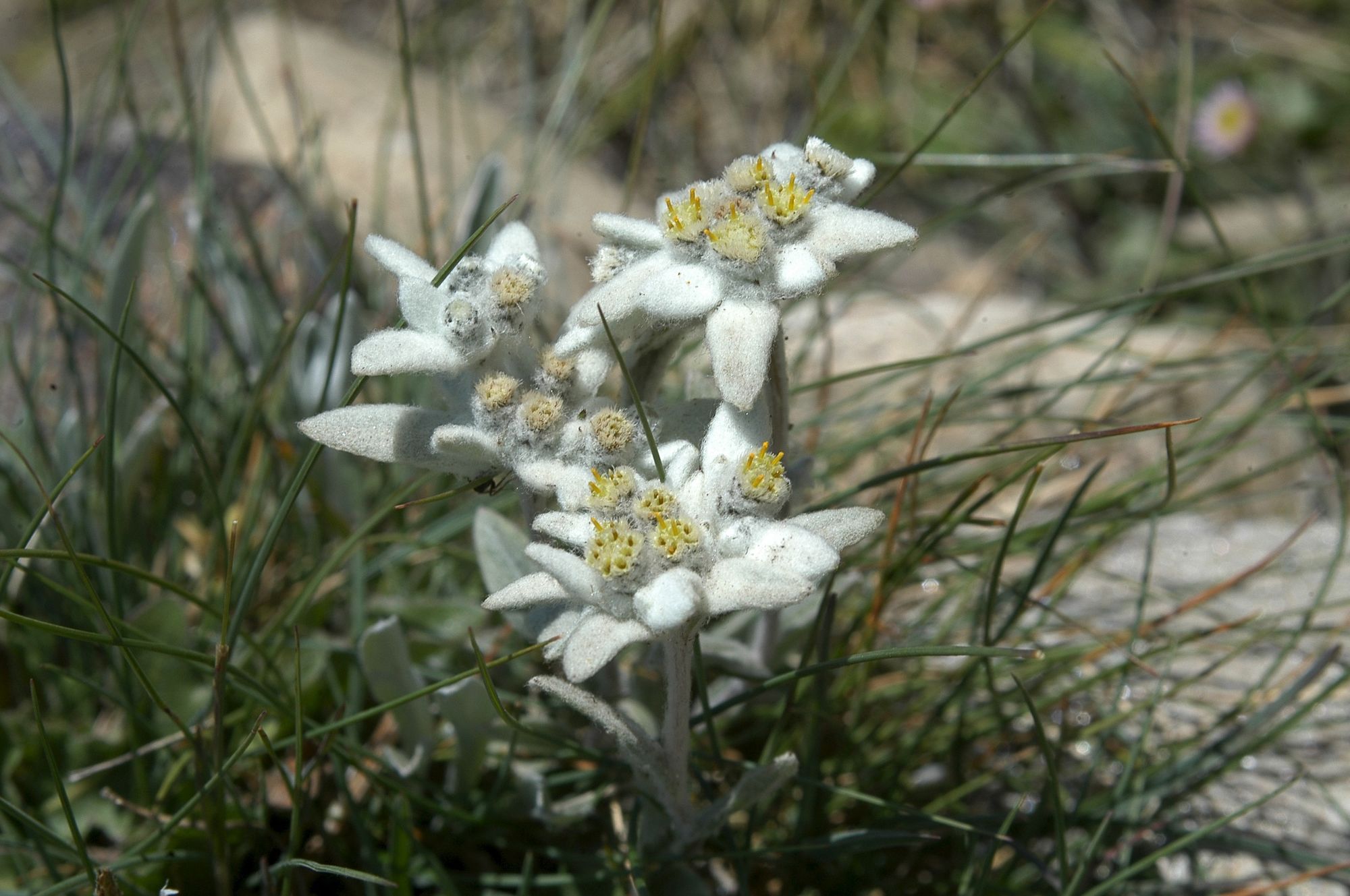
Flora
Fauna
Ígéretes
További túrák a régiókban
-
Oberwallis
1875
-
Mattertal
554
-
Täsch
195


