

© Agnieszka Wajs - Zermatt Tourismus
© Fabienne Fux-Schaller - Zermatt Tourismus
© Fabienne Fux-Schaller - Zermatt Tourismus

© Fabienne Fux-Schaller - Zermatt Tourismus

© Fabienne Fux-Schaller - Zermatt Tourismus
© Fabienne Fux-Schaller - Zermatt Tourismus

© Fabienne Fux-Schaller - Zermatt Tourismus

- Rövid leírás
-
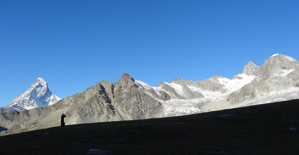
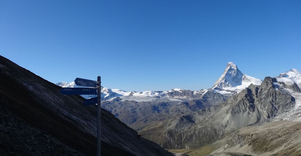
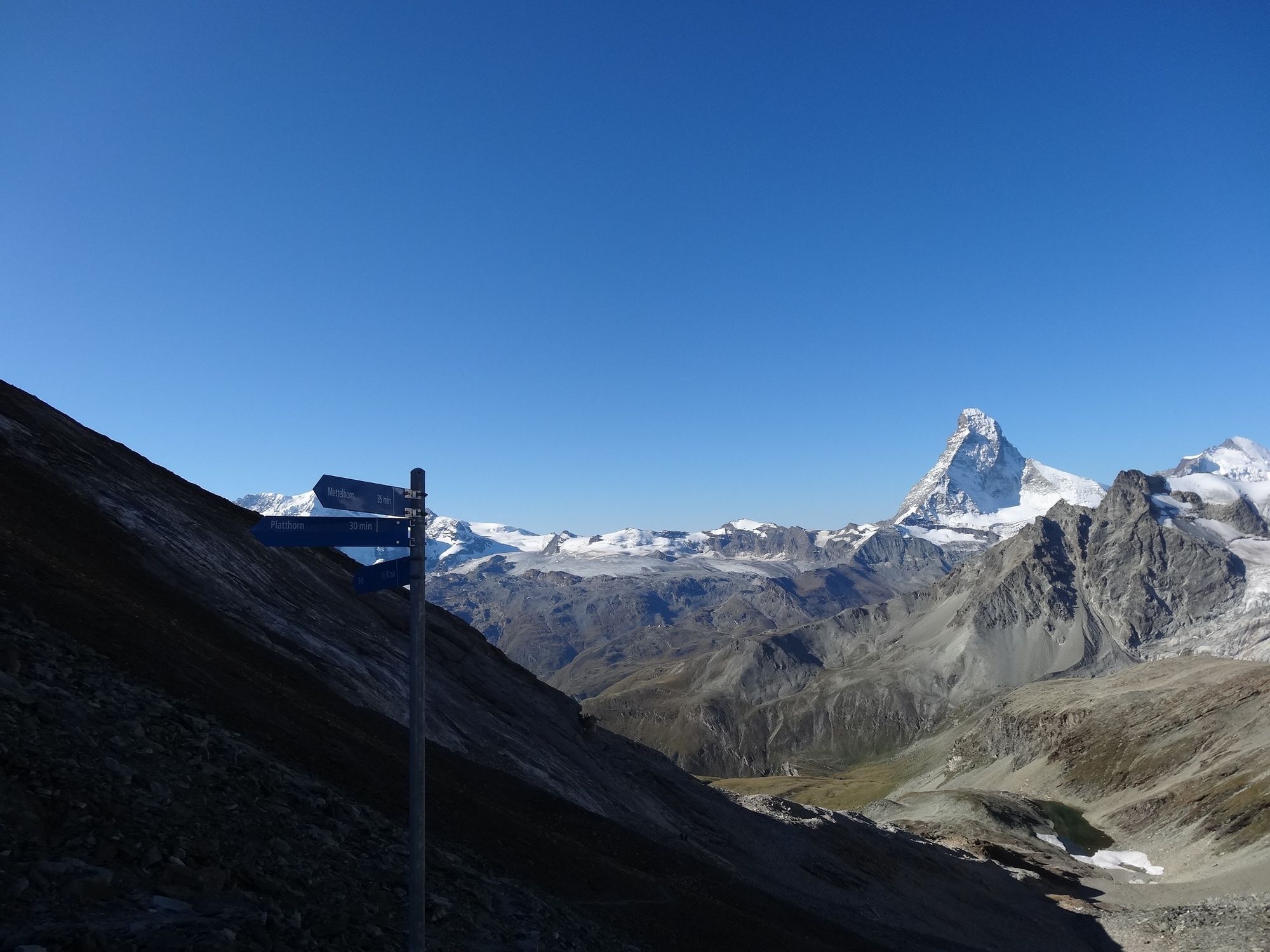
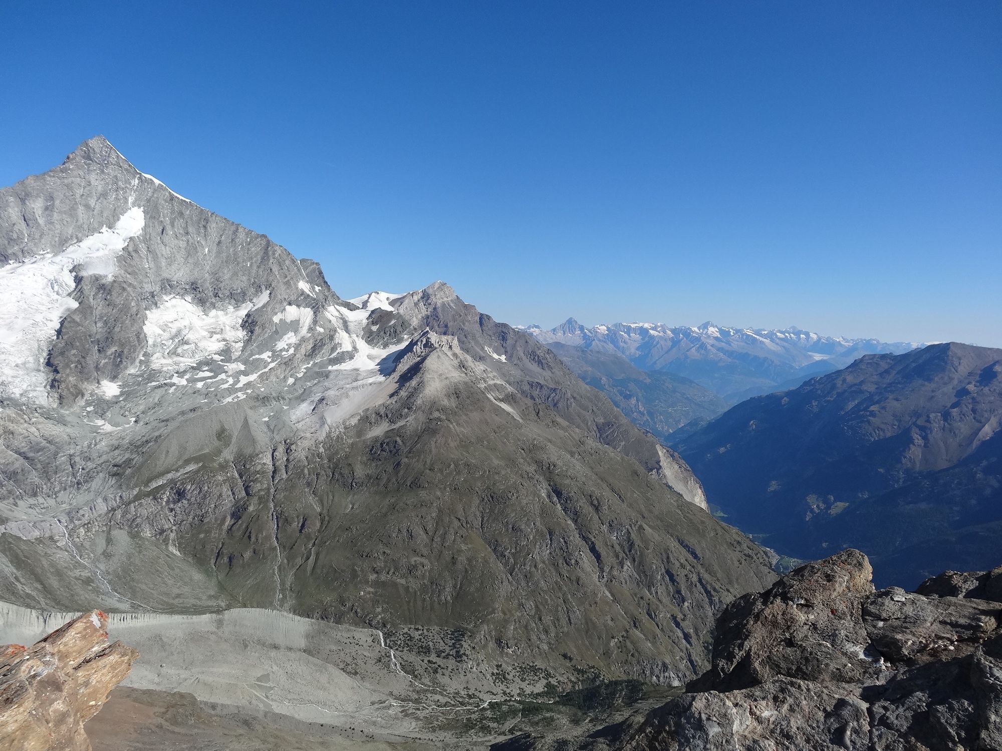
Both mountains, the Mettelhorn and the Platthorn, reveal totally unexpected views to the west: the summit of the Wellenkuppe with its wave of snow, and the Ober Gabelhorn with its dramatic rocky ridges.
- Nehézség
-
nehéz
- Értékelés
-
- Útvonal
-
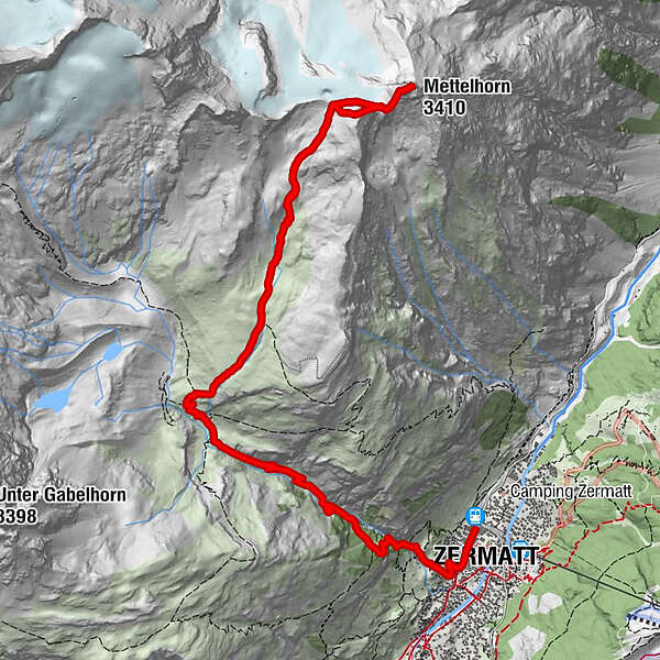
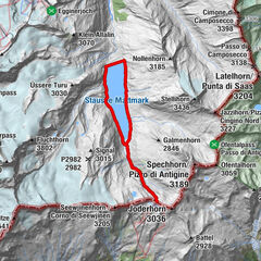
Zermatt (1.608 m)0,3 kmBerggasthaus Trift (2.337 m)4,0 kmPlatthorn (3.345 m)8,2 kmMettelhorn (3.410 m)8,7 km
- Legjobb szezon
-
janfebrmárcáprmájjúnjúlaugszeptoktnovdec
- Legmagasabb pont
- 3.378 m
- Úti cél
-
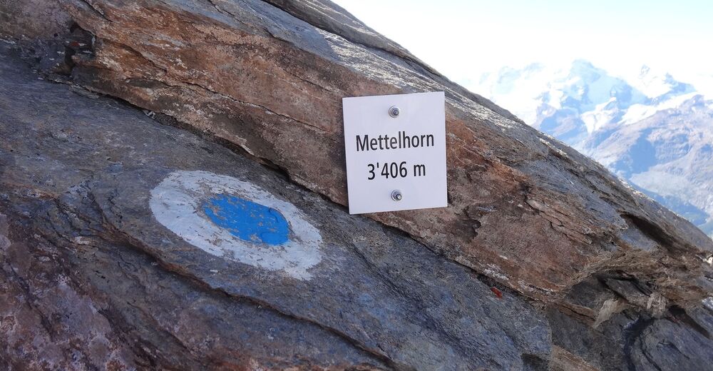
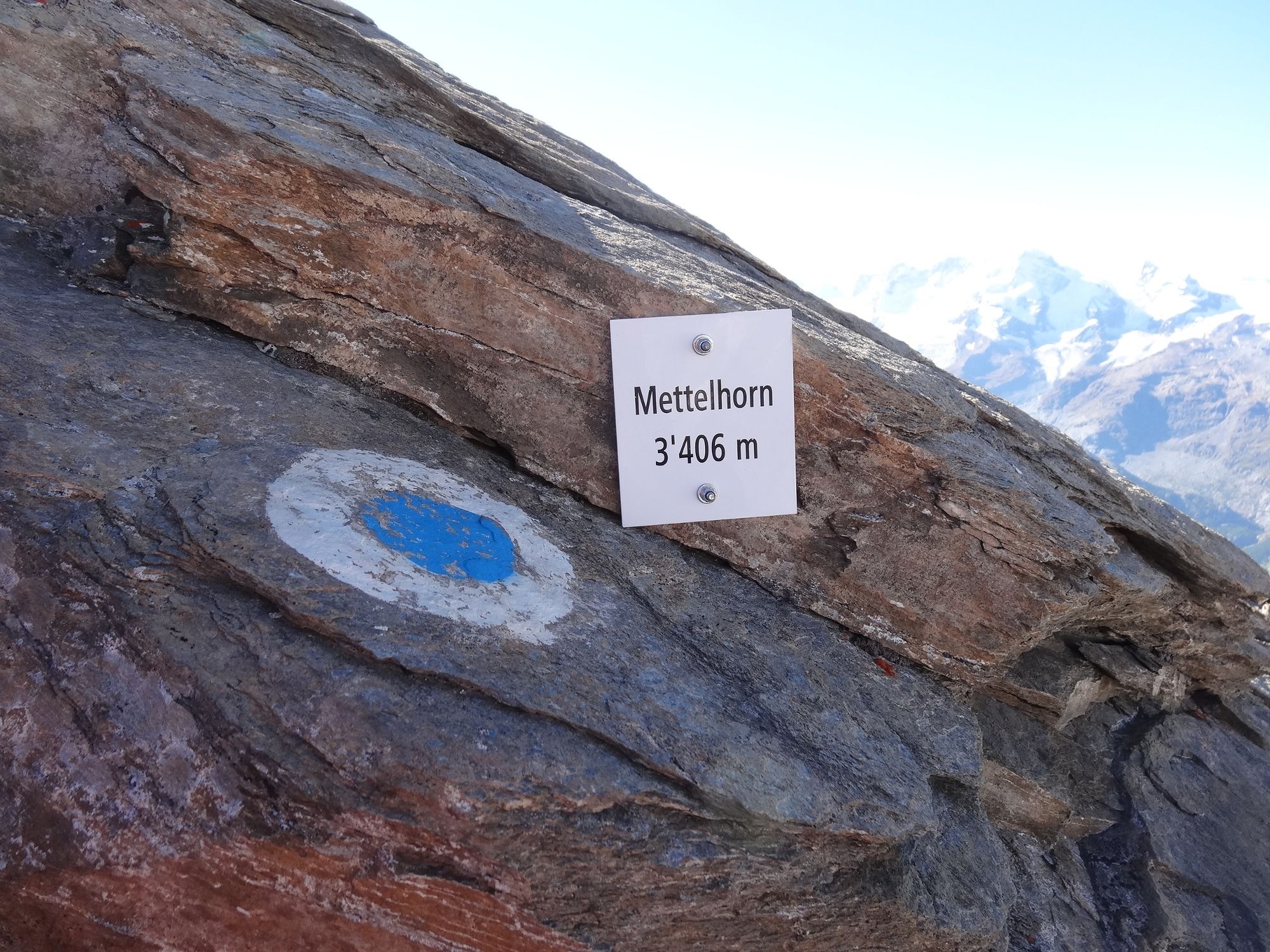
Mettelhorn (3,406 m)
- Magassági profil
-
 © outdooractive.com


- Szerző
-
A túra Platthorn / Mettelhorn (Nr. 33) a outdooractive.com feltéve, hogy.
GPS Downloads


Általános információ
Frissítő megálló
Flora
Fauna
Ígéretes
További túrák a régiókban
-
Oberwallis
1873
-
Mattertal
555
-
Zermatt
154


")
