Border routes – From the foot of the Eifel to the Mergelland

Tanösvény

© Tourismusagentur Ostbelgien - Dominik Ketz

© Tourismusagentur Ostbelgien - Dominik Ketz

© Tourismusagentur Ostbelgien - Jutta Westphal

© Tourismusagentur Ostbelgien - Pierre Pauquay SPRL Cernix

© Tourismusagentur Ostbelgien - Dominik Ketz

© Unbekannt -

- Rövid leírás
-
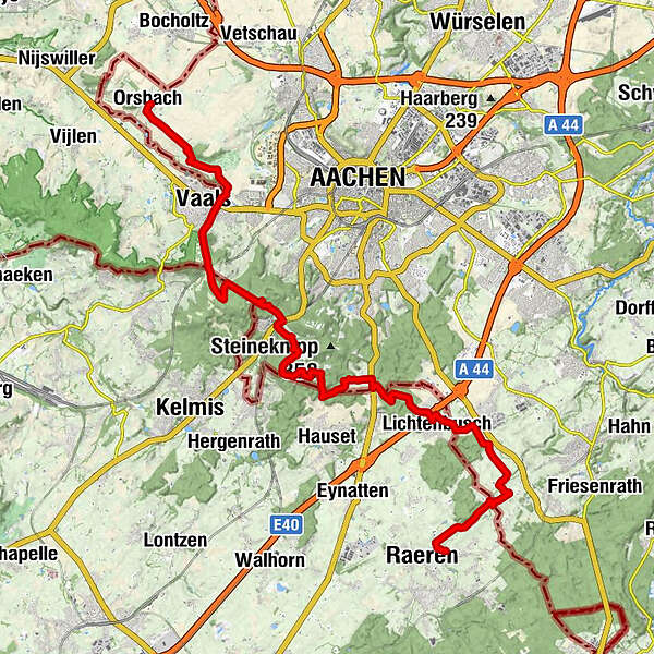
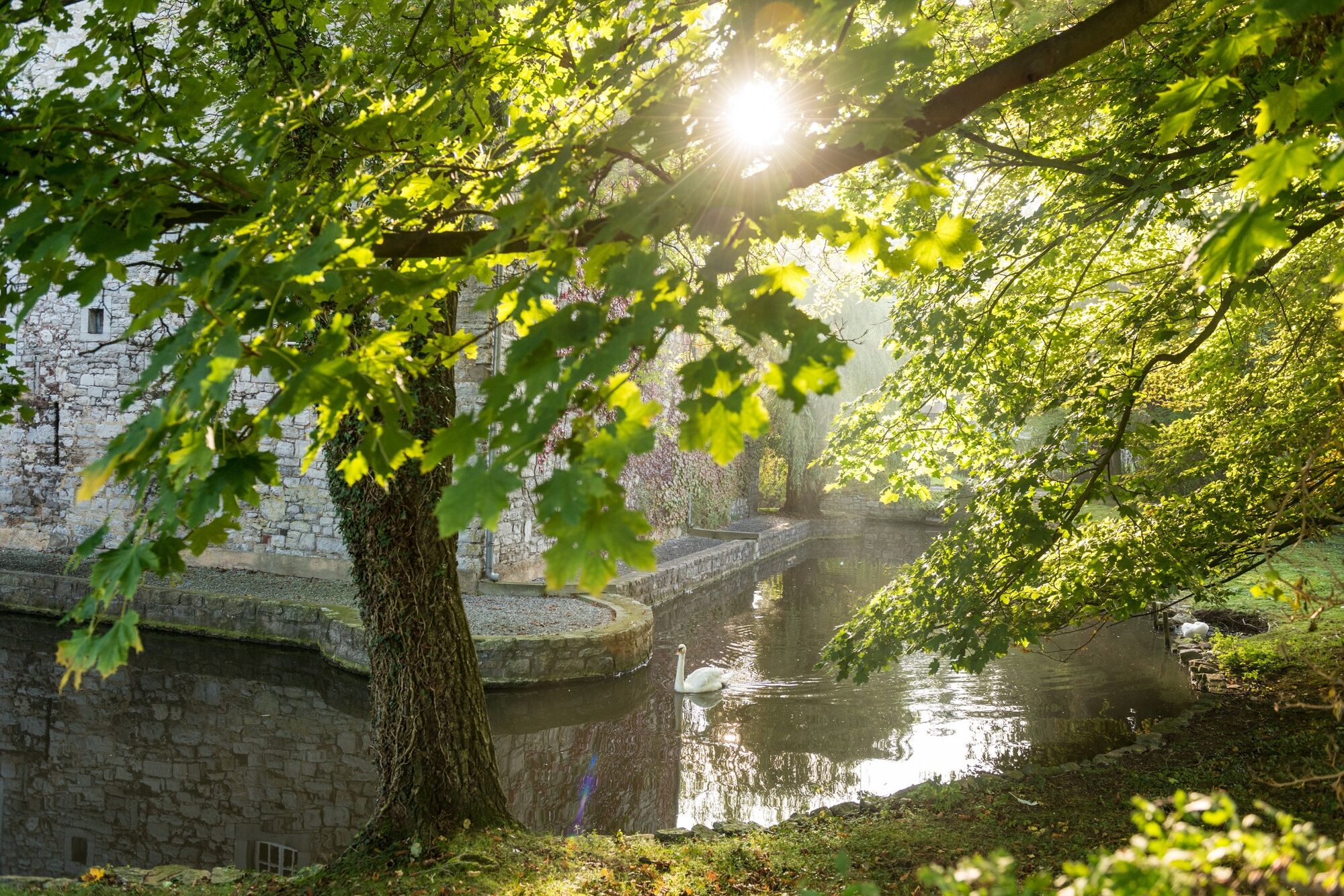
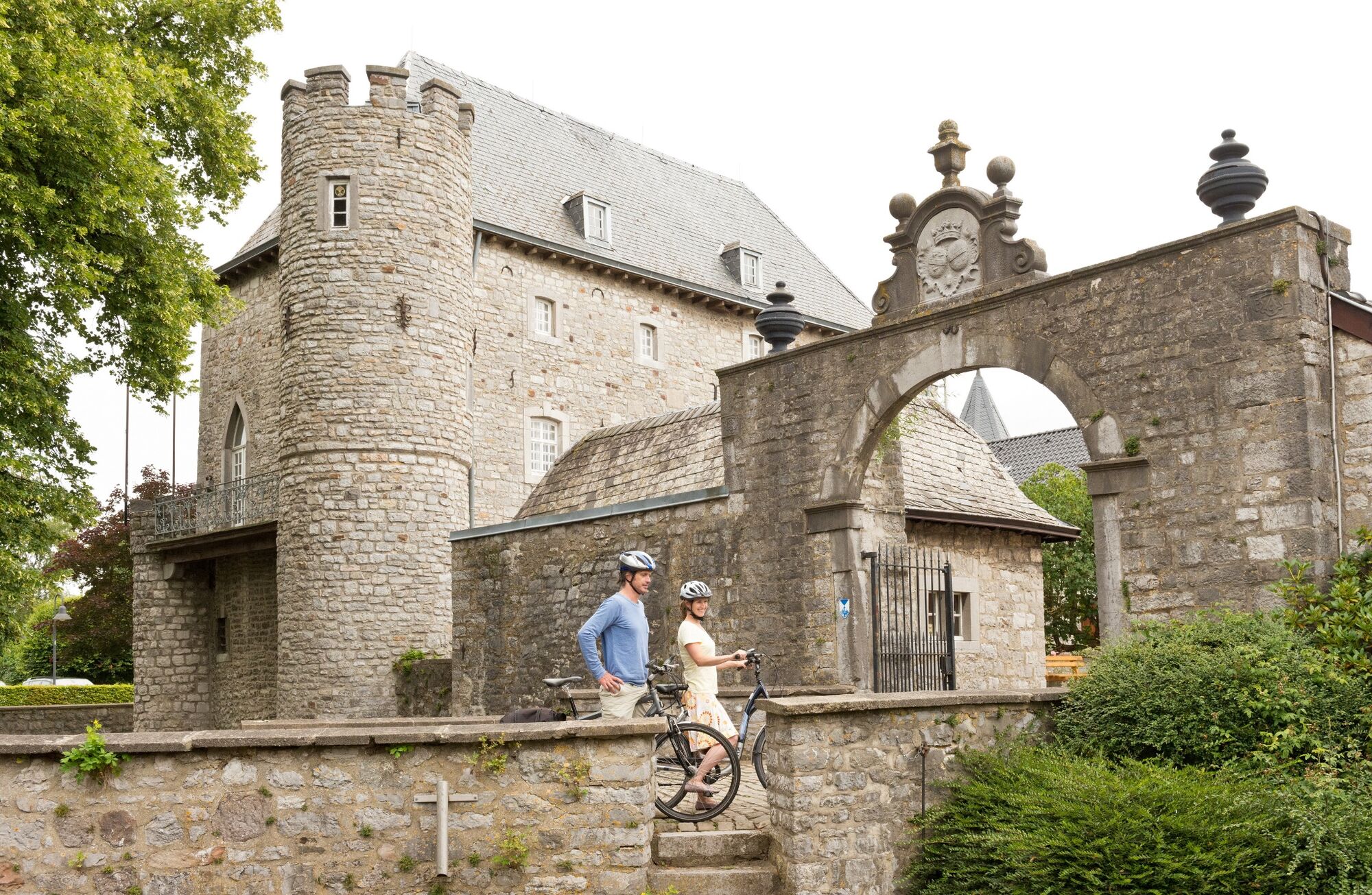
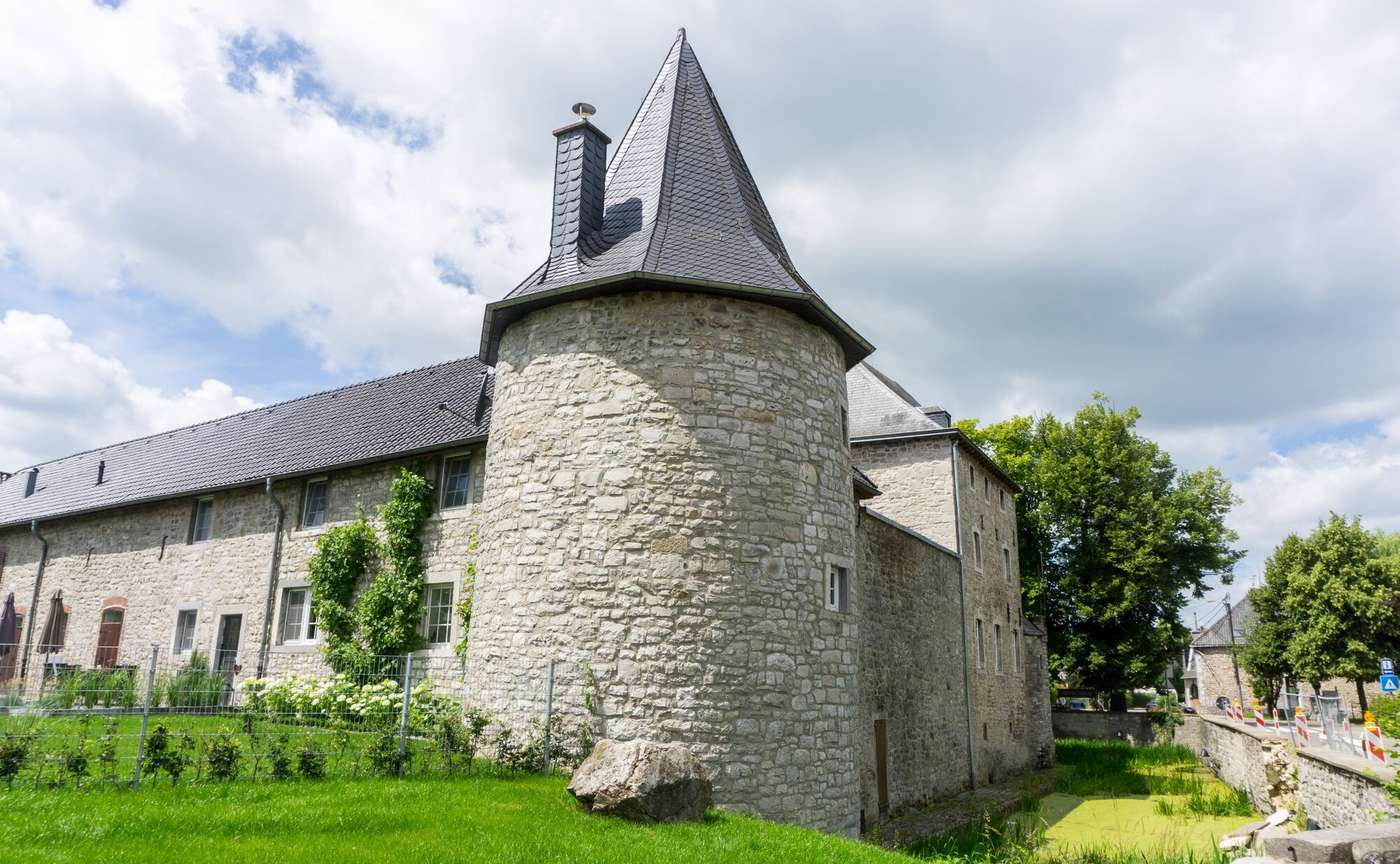
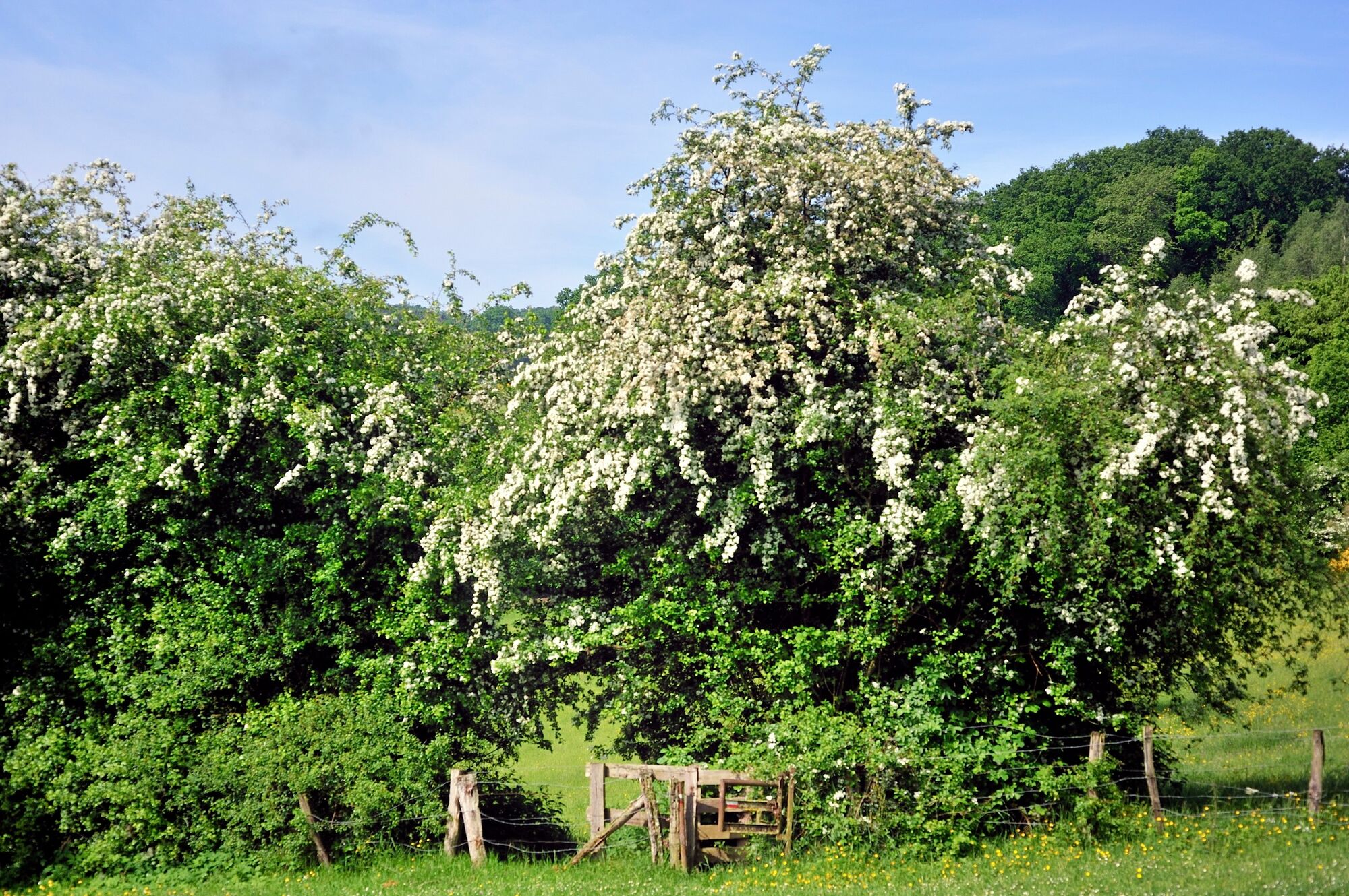
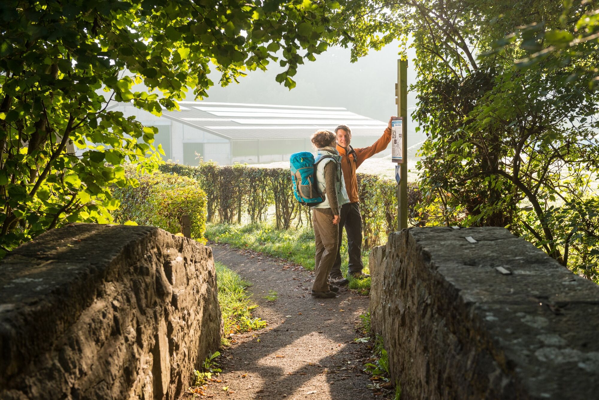
The main axis of the network of border routes unites the natural contrasts and historical diversity of the region.
- Nehézség
-
közepes
- Értékelés
-
- Útvonal
-
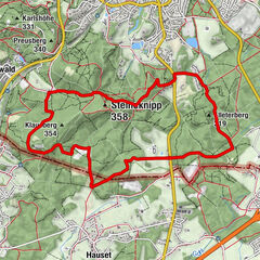
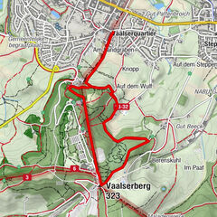
Raeren0,3 kmLichtenbusch6,2 kmLichtenbusch7,3 kmKöpfchen10,4 kmVaalserberg (323 m)20,3 kmKönig Baudoin Turm20,3 kmVaals (198 m)22,2 kmAachen (173 m)22,7 kmOrsbach26,9 km
- Legjobb szezon
-
janfebrmárcáprmájjúnjúlaugszeptoktnovdec
- Legmagasabb pont
- 329 m
- Úti cél
-
Orsbach
- Magassági profil
-
 © outdooractive.com

- Szerző
-
A túra Border routes – From the foot of the Eifel to the Mergelland a outdooractive.com feltéve, hogy.
GPS Downloads


Általános információ
Kulturális/Történelmi
További túrák a régiókban
-
Weserland / Belgisch - Limburg
376
-
Aachen
110