


MTB trail 4 - Rothonne forest - Espace FFC Ain Forestière
Nehézségi szint: S1


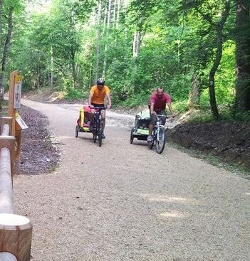
Starting from the heart of Belley, this loop quickly escapes from the historical part of the city to reach the nearby forest. From there, it goes down towards the Rhône river to follow the ViaRhôna cycle...
Starting from the heart of Belley, this loop quickly escapes from the historical part of the city to reach the nearby forest. From there, it goes down towards the Rhône river to follow the ViaRhôna cycle path.
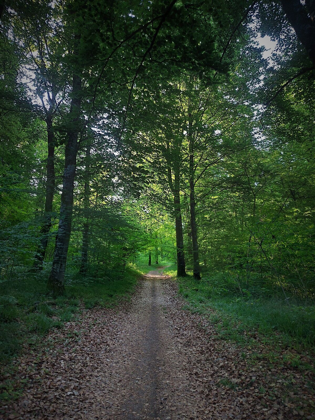
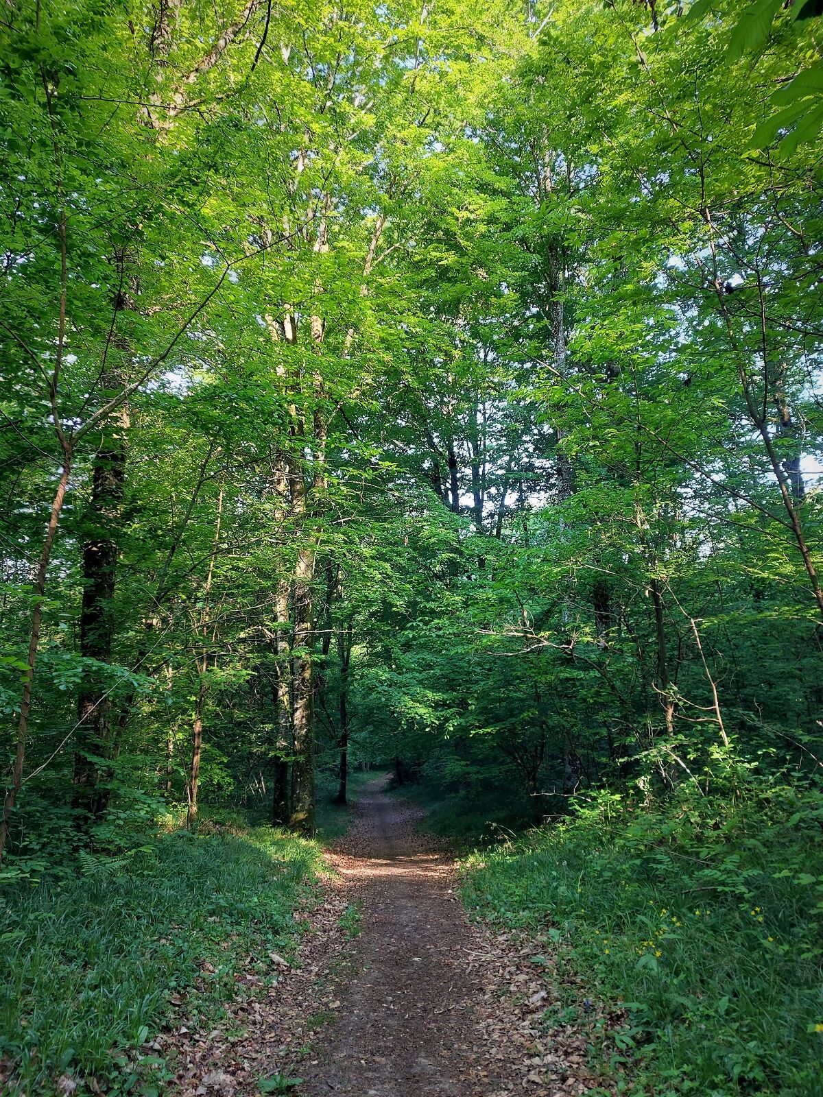
With no technical parts or major difficulties, this loop is nontheless to be avoided in case of muddy conditions.

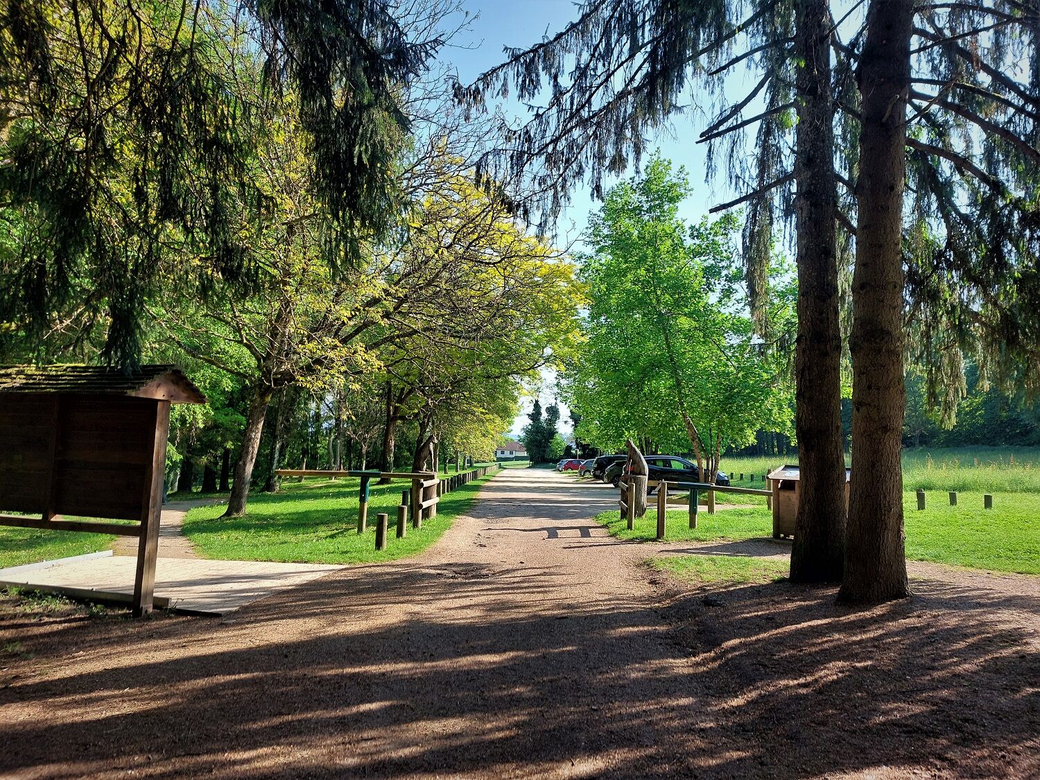
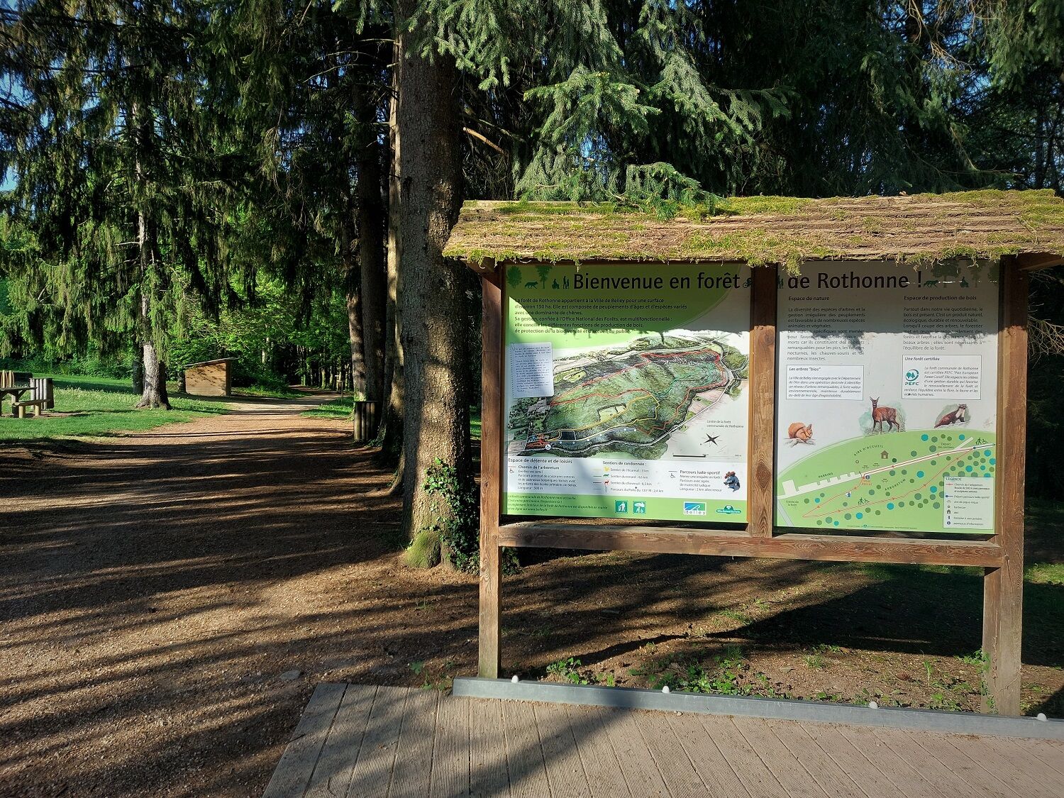
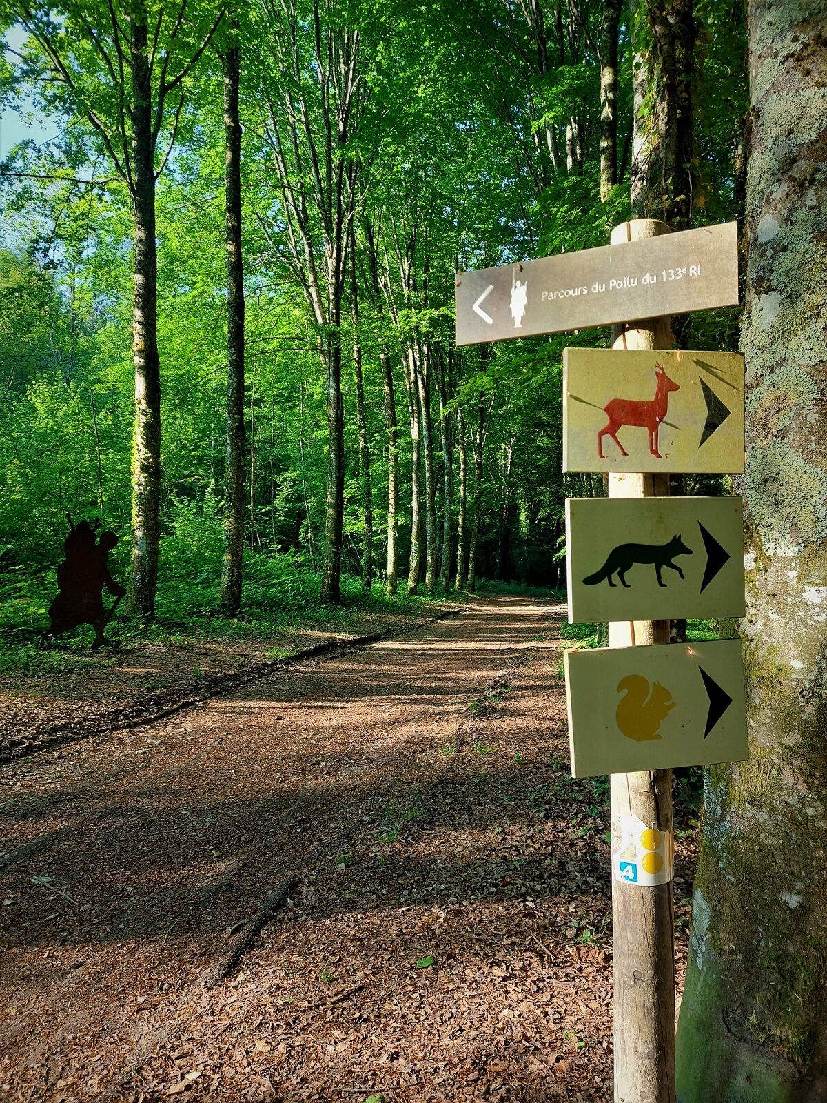
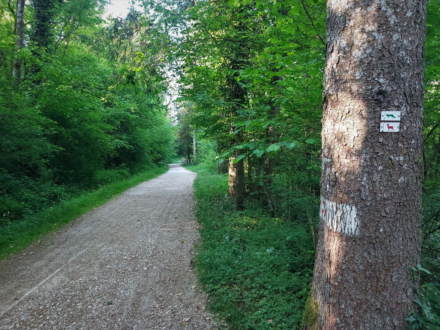
From Maison St Anthelme, follow the MTB marking number 4
Igen
Igen
It is highly recommended to have a water bottle, a helmet, a mobile phone, and a repair kit.
The loop does not have difficult sections, but it is recommended to be cautious during the short crossing of the departmental road before the Rothonne forest.
Faulty signage, incidents / safety, usage conflicts, illegal dumping? : locate and share the encountered problem on the national alert system via the SURICATE app or the website https://sentinelles.sportsdenature.fr/
Highways from Lyon:
A40, exit 8 Saint-Martin-du-Fresne and Hauteville for Les Plans d’Hotonnes and Plateau de Retord
A42, exit 8: Ambérieu-en-Bugey
A43, exit 10 Les Abrets
Departmental roads
D 1504 from Ambérieu-en-Bugey
D 992 from Chambéry
Find detailed access options at the start by clicking on this link.
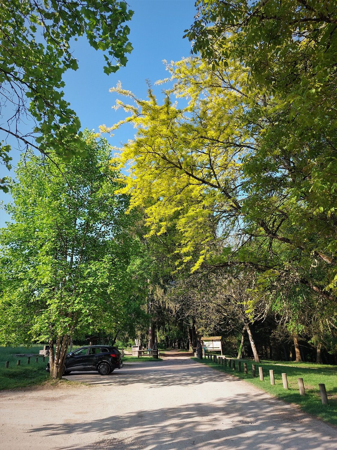
Several parking lots are accessible all year round, including the high school parking located 2 minutes from the start at the end of Rue du 5ème Rtm.
S1
APIDAE Tourism data updated on 07/04/2023 by "Office de Tourisme Bugey Sud Grand Colombier".
An error on this sheet? Write to the owner recalling these references:
Sheet name: MTB route 4: The Rothonne forest | Sheet ID: 527317 | URL (link) of this Outdooractive page.
Tourist Office’s good tips.
Bike rental and repair are available at Allo Repair in Belley.
After the effort, comfort yourself and enjoy the best tables in the city of Brillat-Savarin at Brasserie Le Café Neuf and Brasserie des Terreaux in the city center.
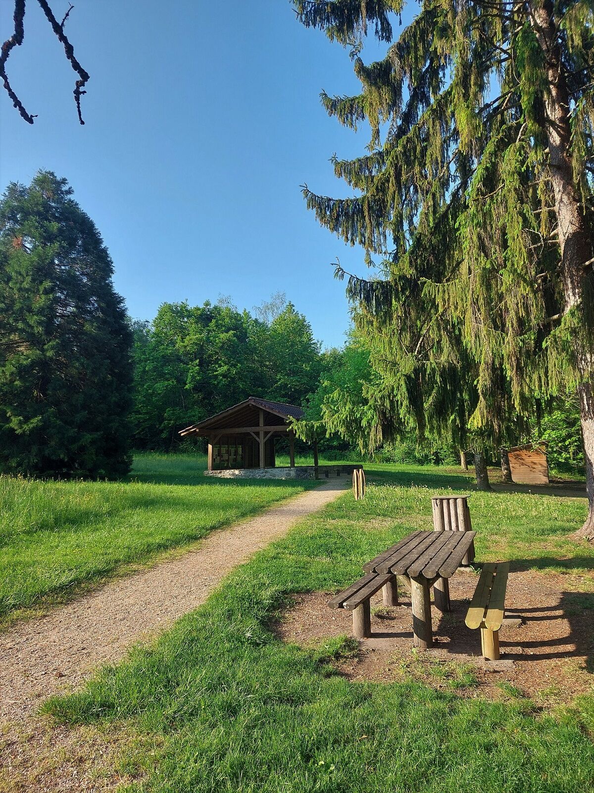
Loop is not very technical and very accessible, linking passages on roads, forest paths, and cycle paths. It is possible to extend by exploring various marked loops of the Rothonne forest.
This route is part of the "Ain Outdoor" selection.
Népszerű túrák a környéken
-
1,0
Hike of the Clairefontaine waterfall
könnyűKirándulás 5,46 km -
Trail along the water (Sentier de l'eau)
közepesKirándulás 7,28 km -
5,0
Hike : Tour du Mont de Cordon
könnyűKirándulás 7,16 km -
Hike starting from Parves-et-Nattages: le circuit du Sorbier
könnyűKirándulás 11,4 km -
Cycling tour : Marshes and vineyards in Bugey
könnyűOrszágúti kerékpározás 33,1 km -
Hike : Armaille Lake
könnyűKirándulás 9,42 km -
Hike : Lake and vineyards
könnyűKirándulás 9,76 km -
5-MTB trail - Lac d'Armaille - Espace FFC Ain Forestière
nehézMountainbike 26,7 km -
Hike : La croix Saint Clair
könnyűKirándulás 5,05 km -
6-red MTB trail - Les Enfants du Marais - Espace FFC Ain Forestière
nehézMountainbike 41,4 km
Túrázás & nyomkövetés


Ne maradjon le az ajánlatokról és az inspirációról a következő nyaralásához!
Az Ön e-mail címe hozzá lett adva a levelezőlistához.