


Cycling tour: Bugey's vineyards


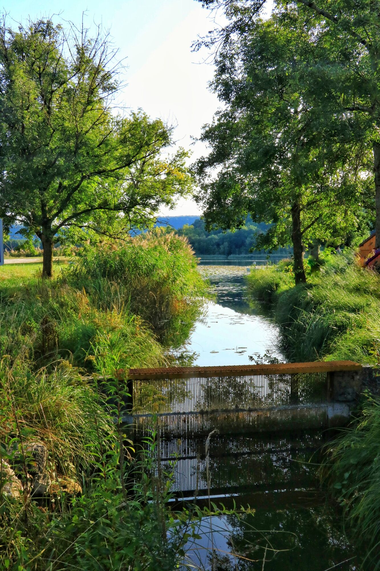
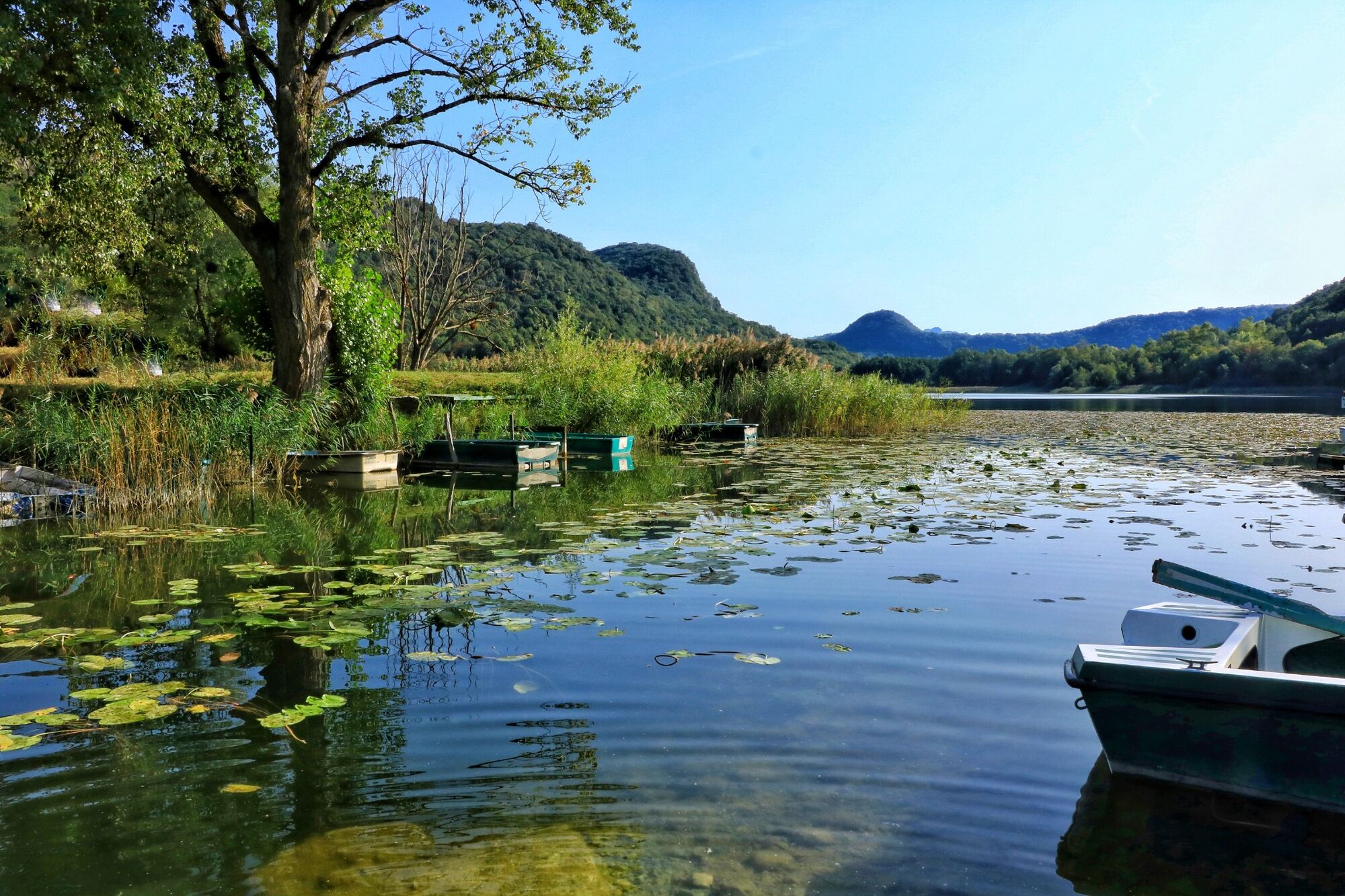
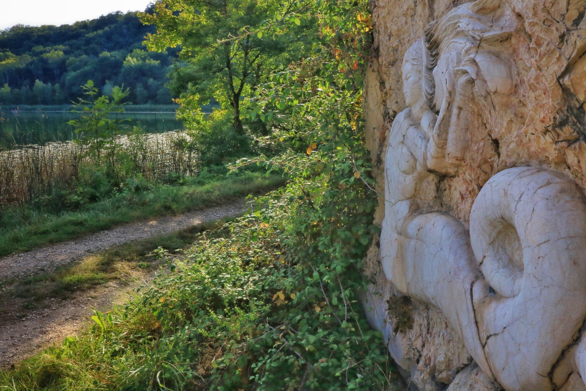
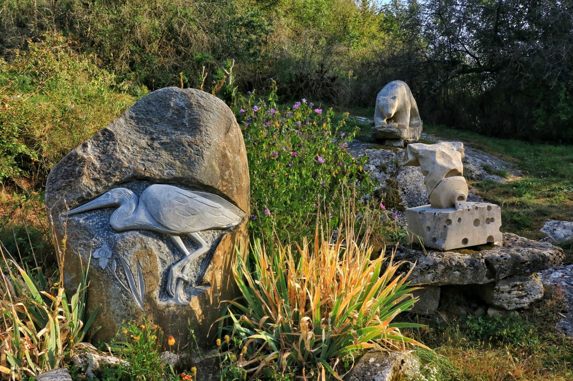
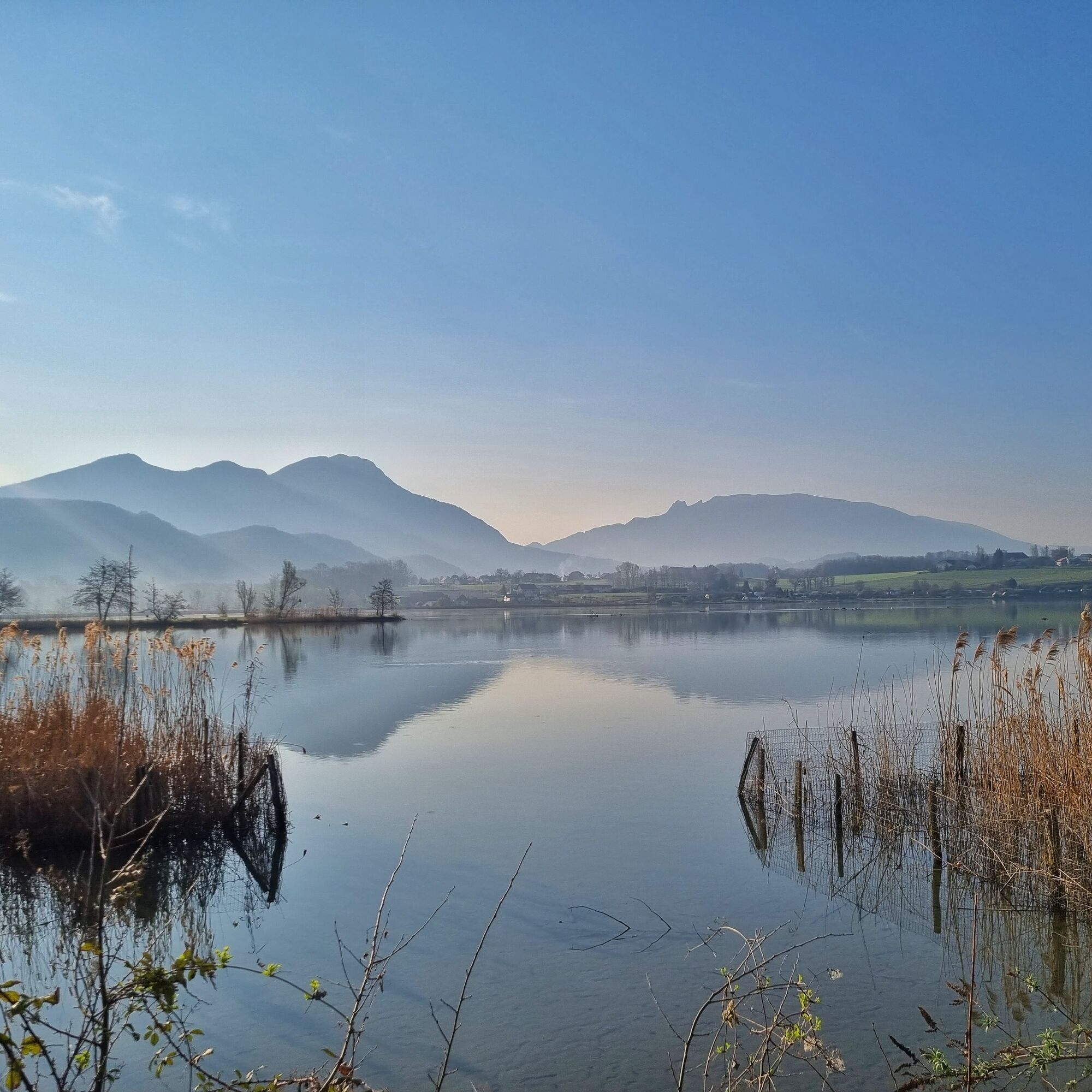
The loop follows the Rhône river on the ViaRhôna cycle path at first. It then crosses the Rhône to cross Cressin-Rochefort. It is possible to make a round trip along the path along the north coast of Lake...
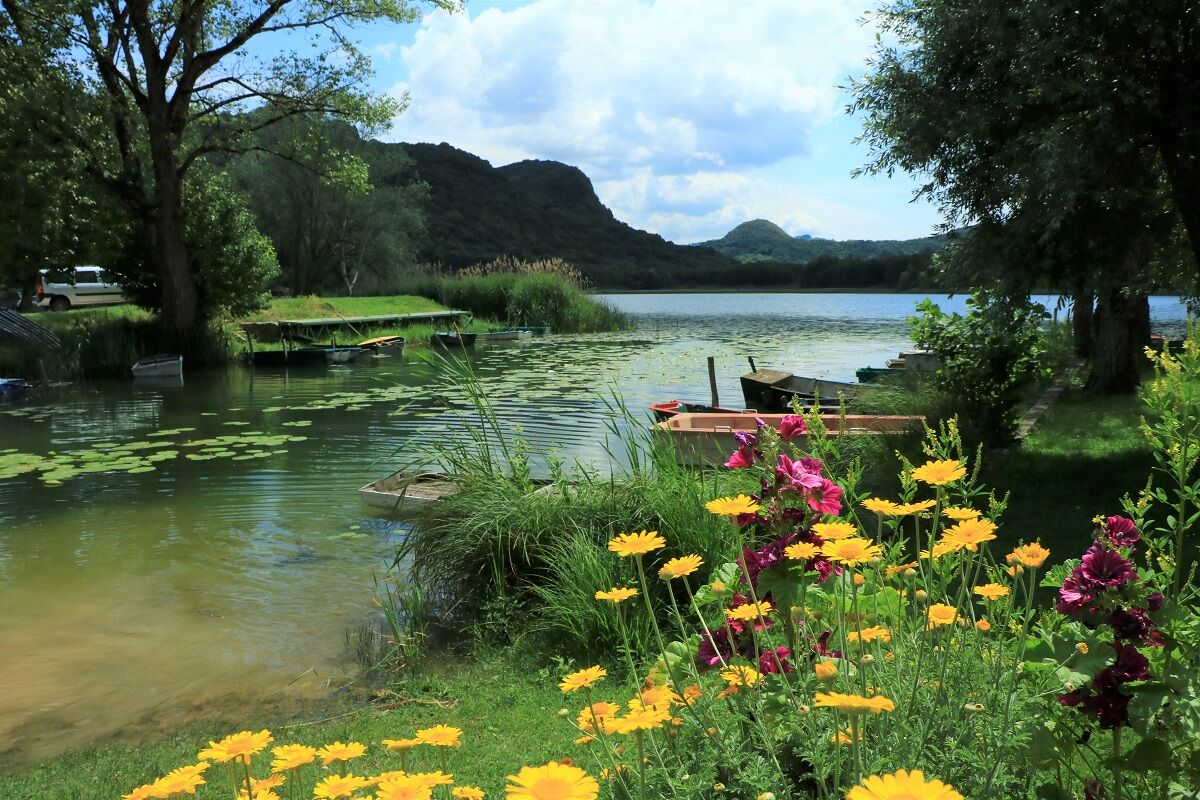
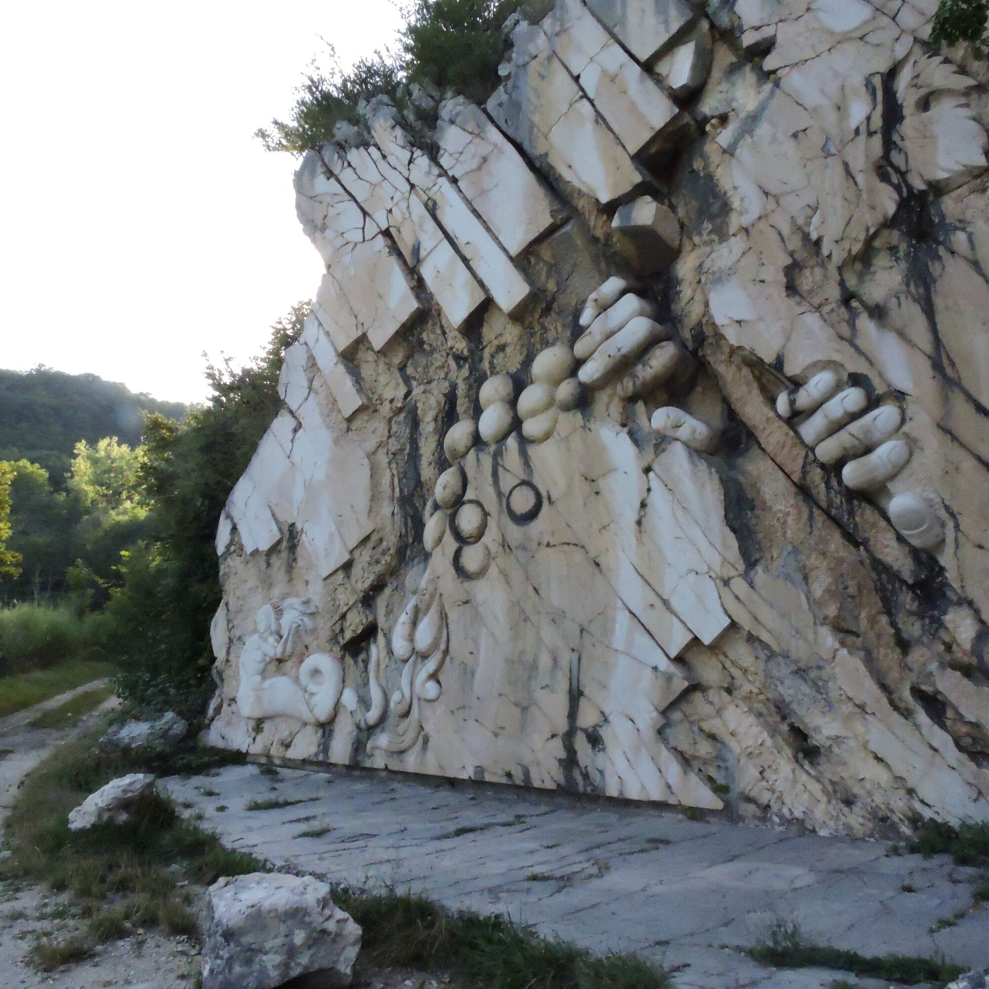
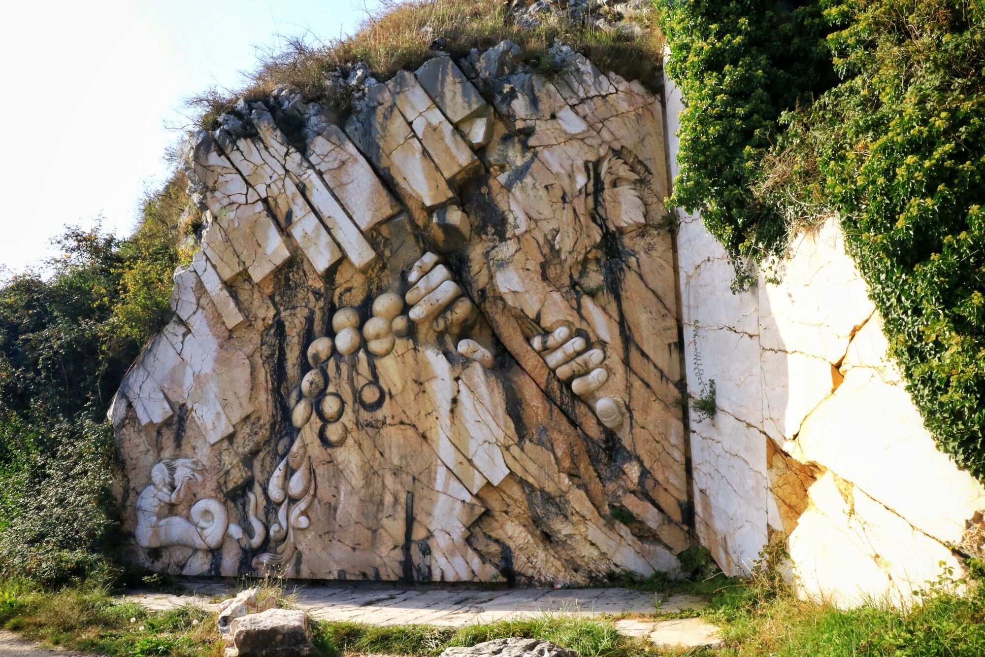
The loop follows the Rhône river on the ViaRhôna cycle path at first. It then crosses the Rhône to cross Cressin-Rochefort. It is possible to make a round trip along the path along the north coast of Lake Barterand to admire Gargantua and the Wyvern, legends of Bugey carved in the rock
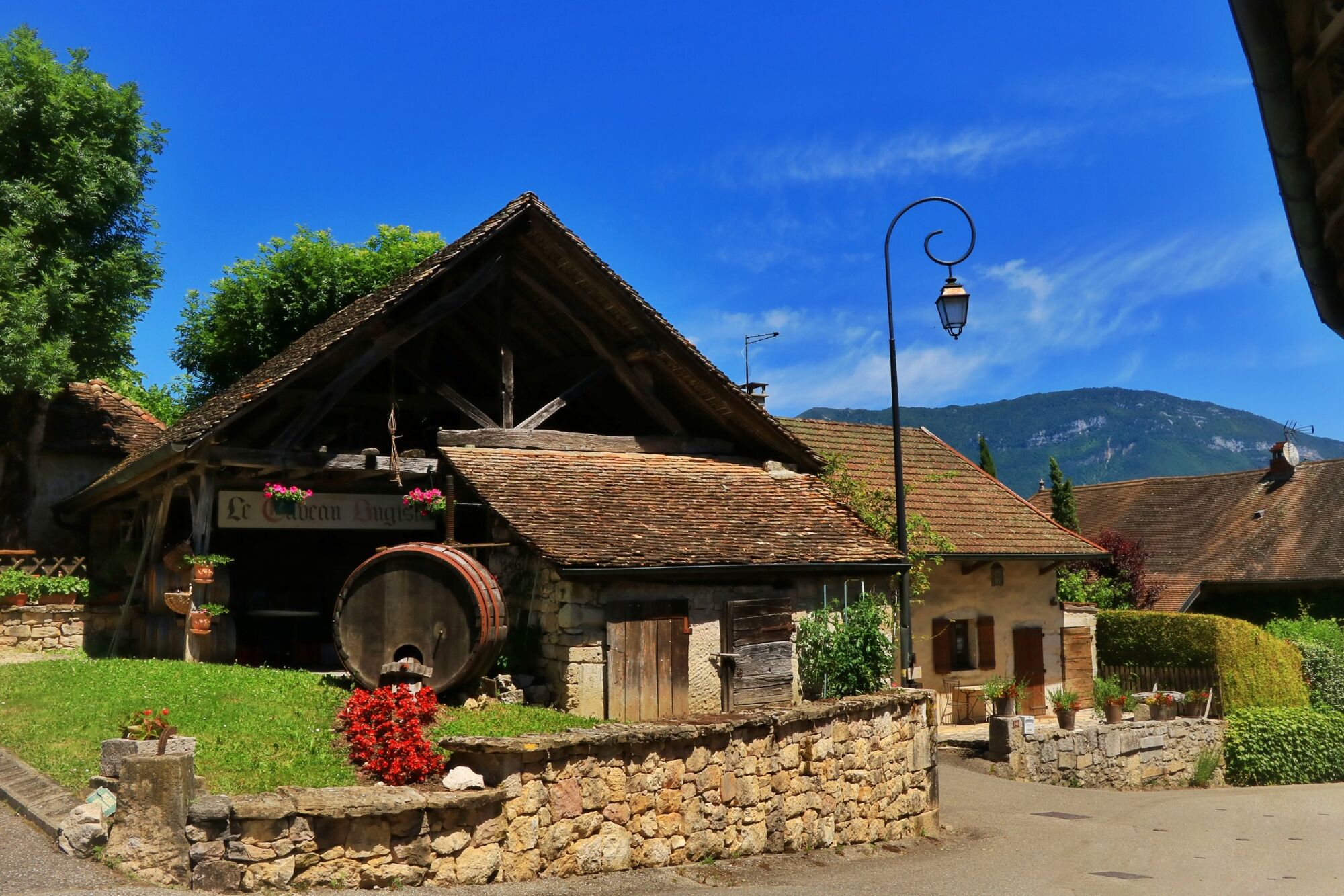
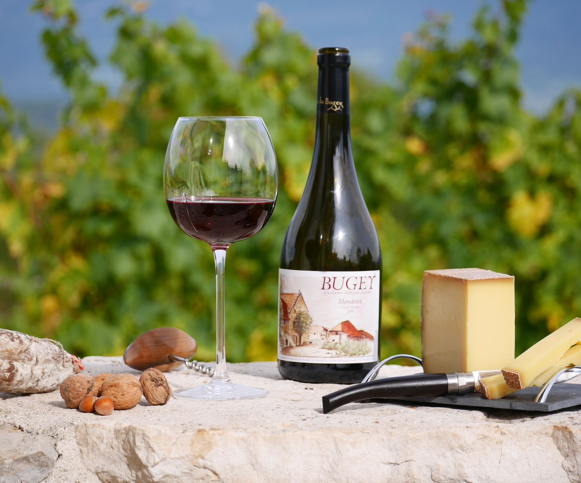
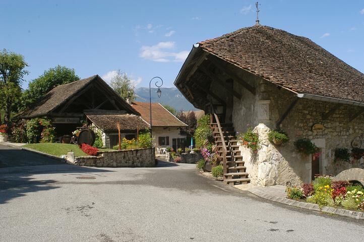
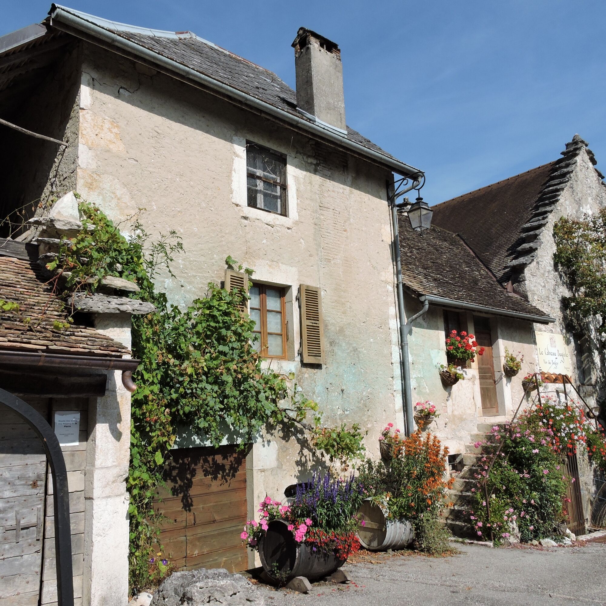
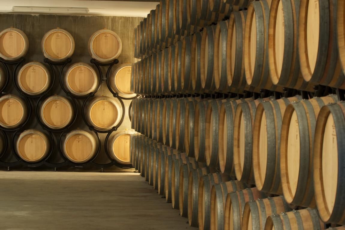
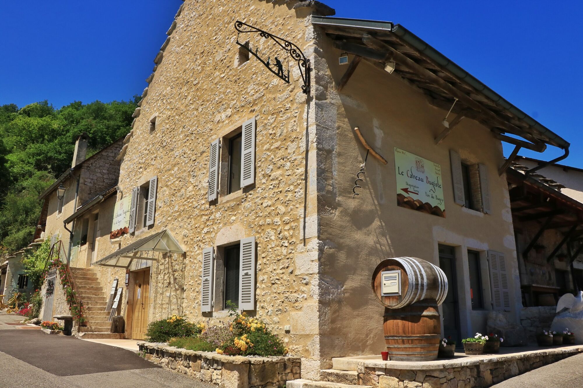
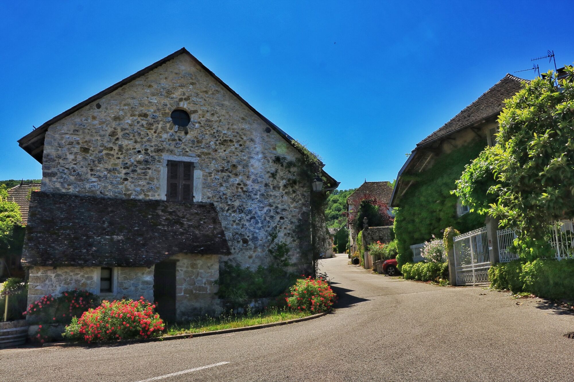
The circuit then goes around Vongnes, an atypical village with several vaults including the Caveau Bugiste, a real local institution. Le Caveau bugiste includes a museum of wine-growing traditions and a museum of tools for the stone trades, an exhibition hall and offers tours and tastings of its cellar every day of the year.
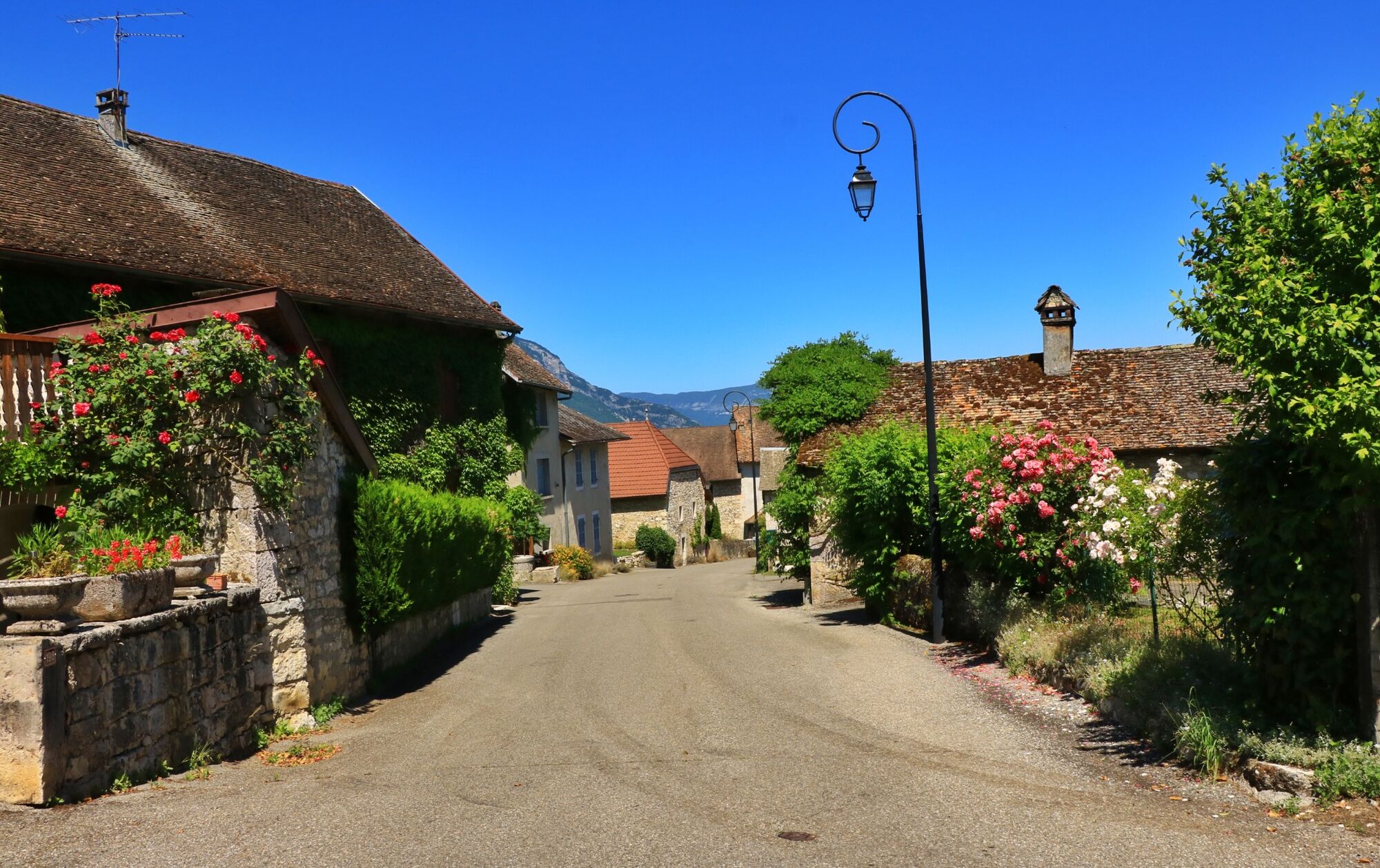
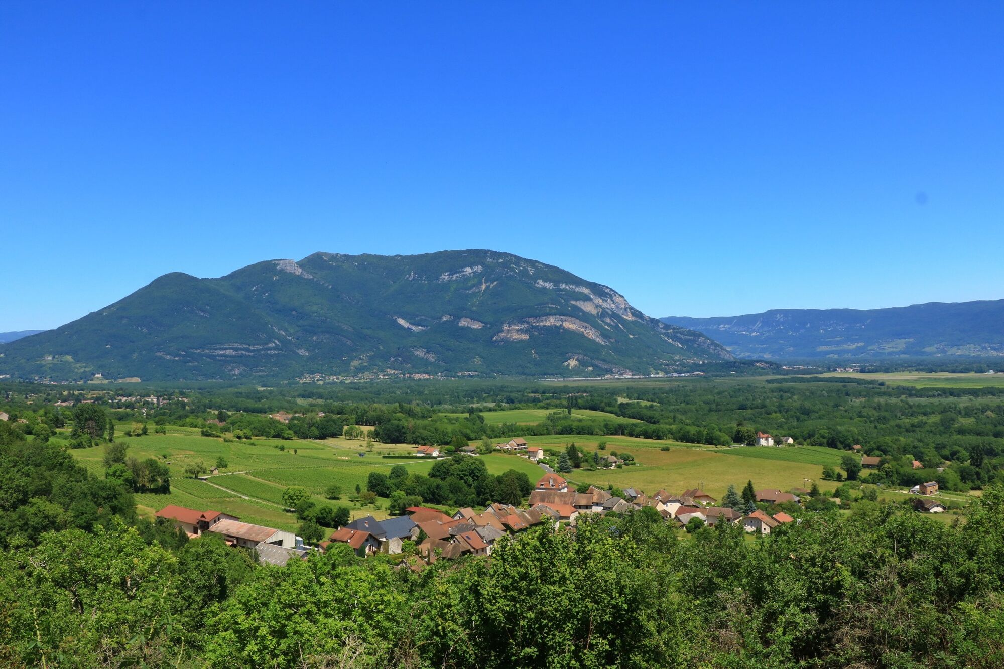
The return is then made by the beautiful village of Ceyzérieu, under the castle of Grammont (cannot be visited) and the lake of Chavoley before returning by Marignieu and St Champ, then to find the ViaRhôna a little further.
If the circuit includes a low drop and remains very accessible, the course is a little hilly.
Suivre La ViaRhôna en direction de Genève pendant quelques centaines de mètres avant de traverser le Rhône direction Cressin-Rochefort.
Igen
Equipement recommandé : gourdes, casques, téléphone, matériel de rechange.
Si le circuit passe principalement par une voie verte et des petites routes, veuillez respecter le code de la route.
Le circuit longe une départementale fréquentée pendant une petite centaine de mètres vers la fin du parcours, nous vous recomandons d'être prudent lors de la traversée de celle-ci en fin de parcours.
Autoroutes depuis Lyon :
A40, sortie 8 Saint-Martin-du-Fresne et Hauteville pour Les Plans d’Hotonnes et Plateau de Retord
A42, sortie 8 : Ambérieu-en-Bugey
A43, sortie 10 les Abrets
Départementales
D 1504 depuis Ambérieu-en-Bugey
D 992 depuis Chambéry
Le départ n'est pas accessible en transports en commun.
Des places de parking sont disponibles au port de Massignieu.
APIDAE tourism data updated on 25/10/2022 by "Office de Tourisme Bugey Sud Grand Colombier".
Spotted an error? Write to the owner with the following information:
File name: Circuit vélo : Vignobles du Bugey | Record identifier: 6098296 | URL (link) for this Outdooractive page.
Ce circuit vélo permet de découvrir une partie du Bugey Sud loin des grands axes, on enchaîne les traversées de petits villages entre Rhône et Grand Colombier.
Népszerű túrák a környéken
-
1,0
Hike of the Clairefontaine waterfall
könnyűKirándulás 5,46 km -
Hike: Gorges de Thurignin
közepesKirándulás 14,2 km -
Hike of the Grand Colombier starting from Munet
nehézKirándulás 16,0 km -
Hike starting from Parves-et-Nattages: le circuit du Sorbier
közepesKirándulás 11,4 km -
Hike : Armaille Lake
közepesKirándulás 9,47 km -
Cycling tour : Marshes and vineyards in Bugey
könnyűOrszágúti kerékpározás 33,1 km -
Hike: A wolf life.
közepesKirándulás 7,22 km -
3,0
Hike: on the ridge of the Grand Colombier (circuit des crêtes)
közepesKirándulás 11,3 km -
Hike : Lake and vineyards
könnyűKirándulás 9,76 km -
Hike in Bugey: Chanduraz from Béon
nehézKirándulás 12,6 km

Túrázás & nyomkövetés


Ne maradjon le az ajánlatokról és az inspirációról a következő nyaralásához!
Az Ön e-mail címe hozzá lett adva a levelezőlistához.