


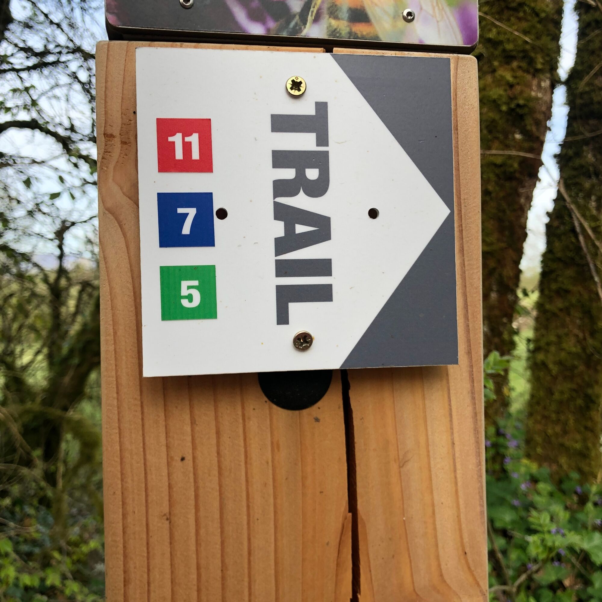
Red rail running loop of Contrevoz
Nehézségi szint: T1


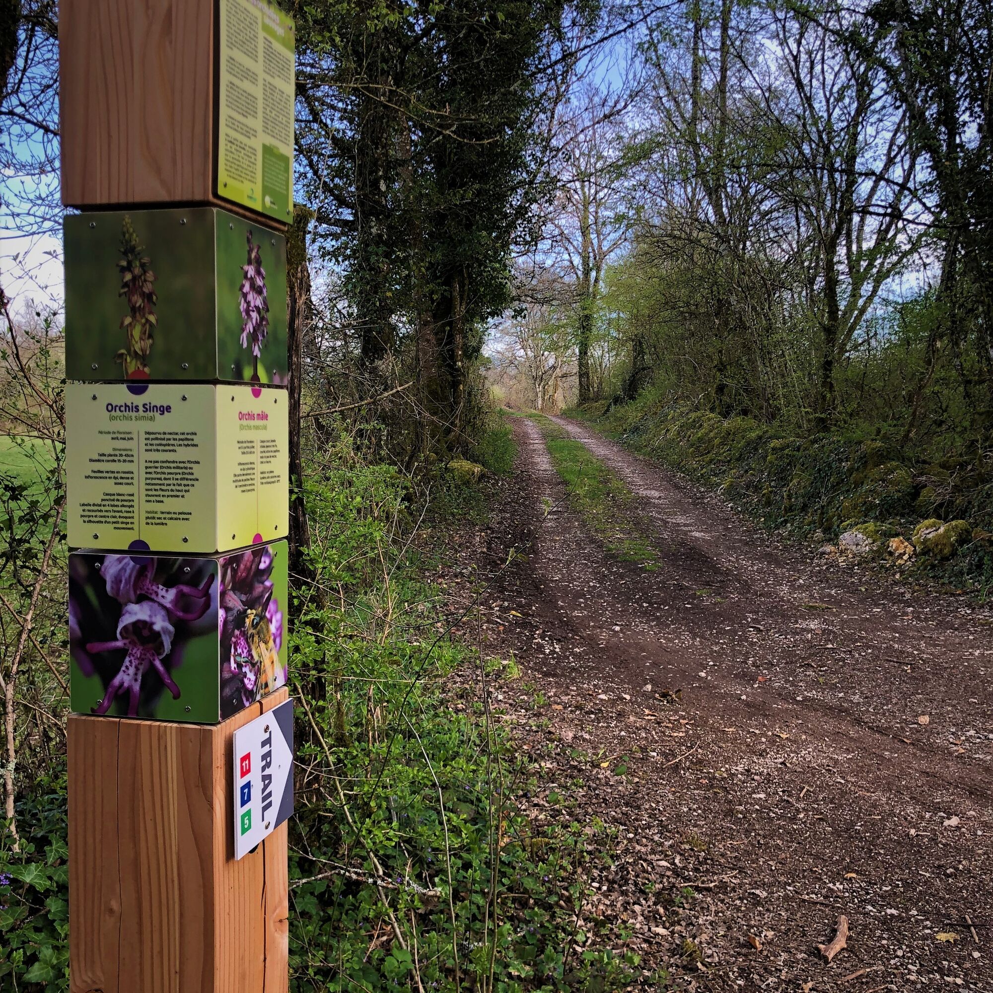
- Wild orchids.
- Site geology.
- Quarry of Charmieu.
- The Sainte Anne Chapel.
- Forest animals.
- History of the village
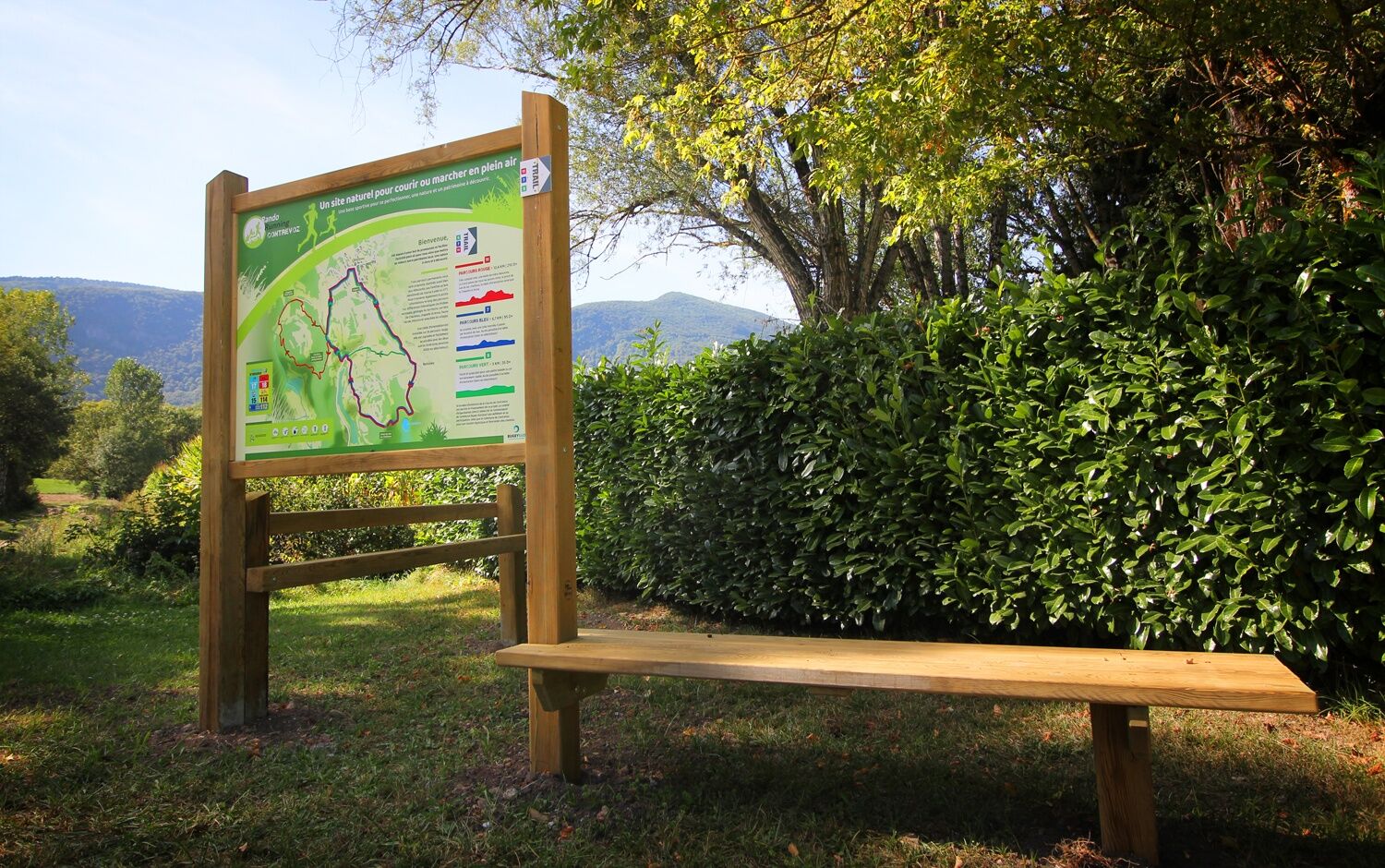
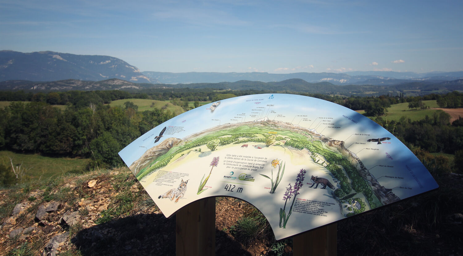
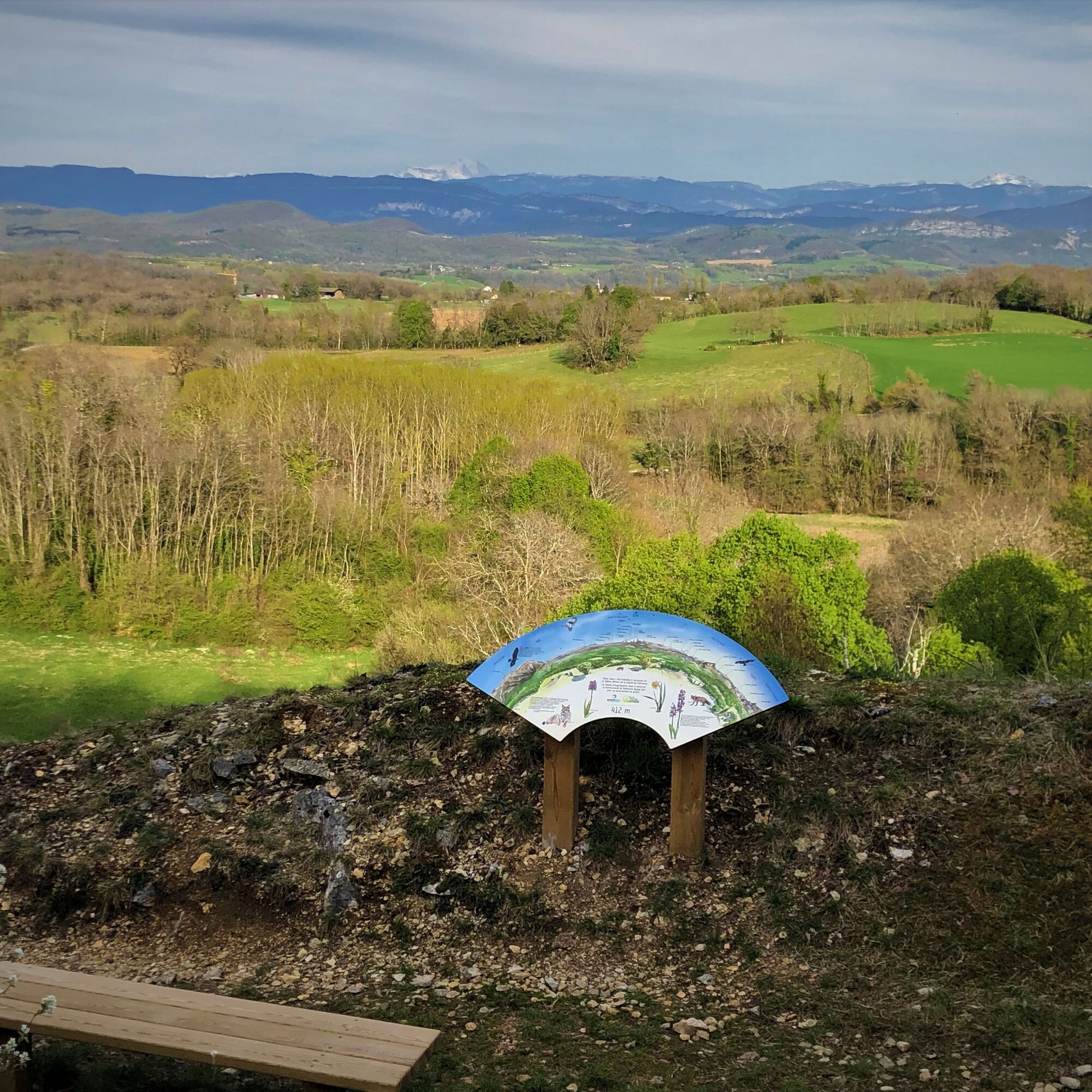
6 information points and an orientation table are to be discovered along the route:
- Wild orchids.
- Site geology.
- Quarry of Charmieu.
- The Sainte Anne Chapel.
- Forest animals.
- History of the village
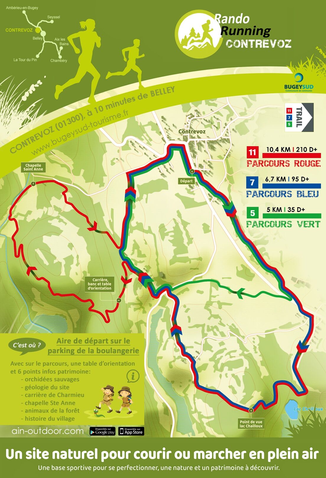
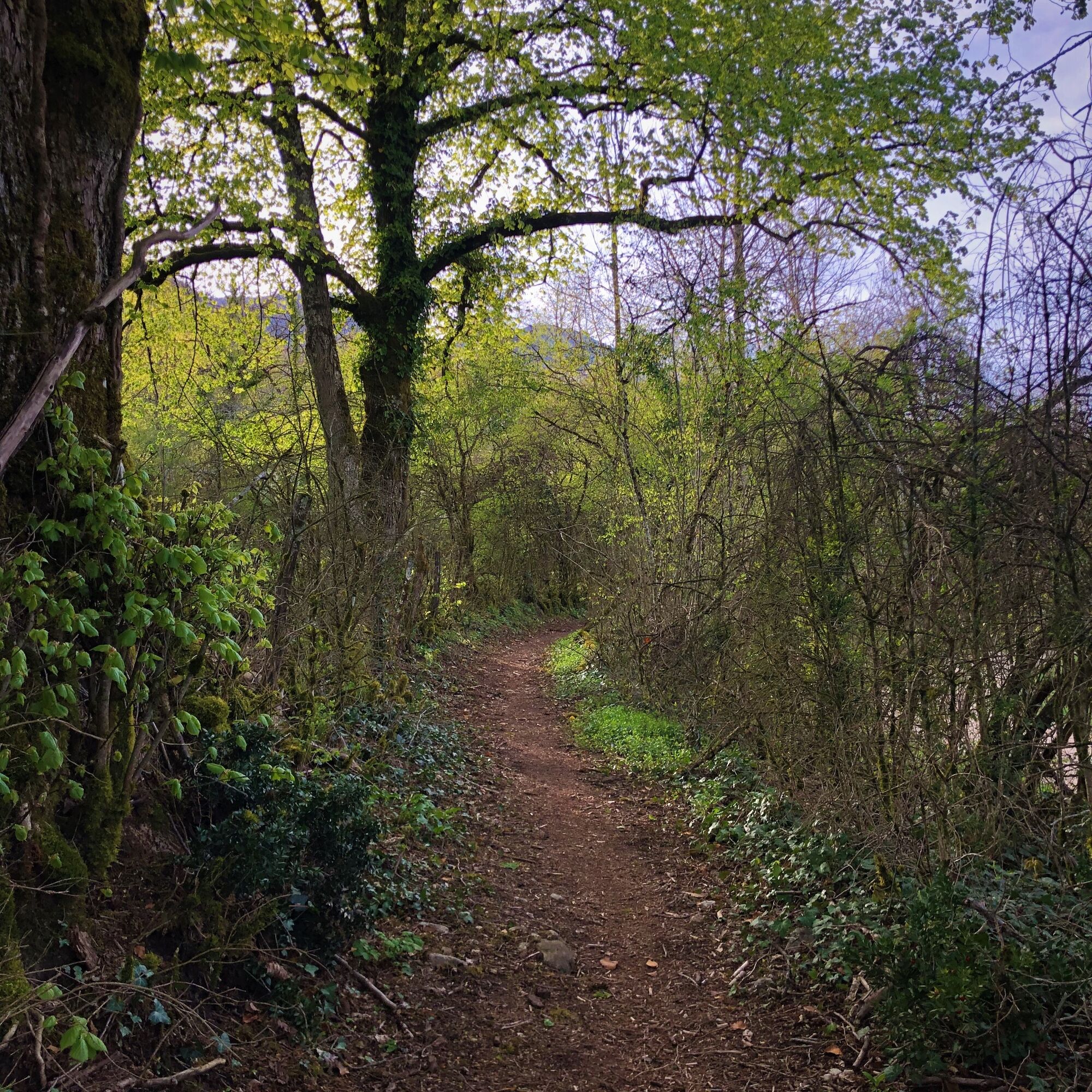
Follow the trail markers departing from the bakery
Igen
Igen
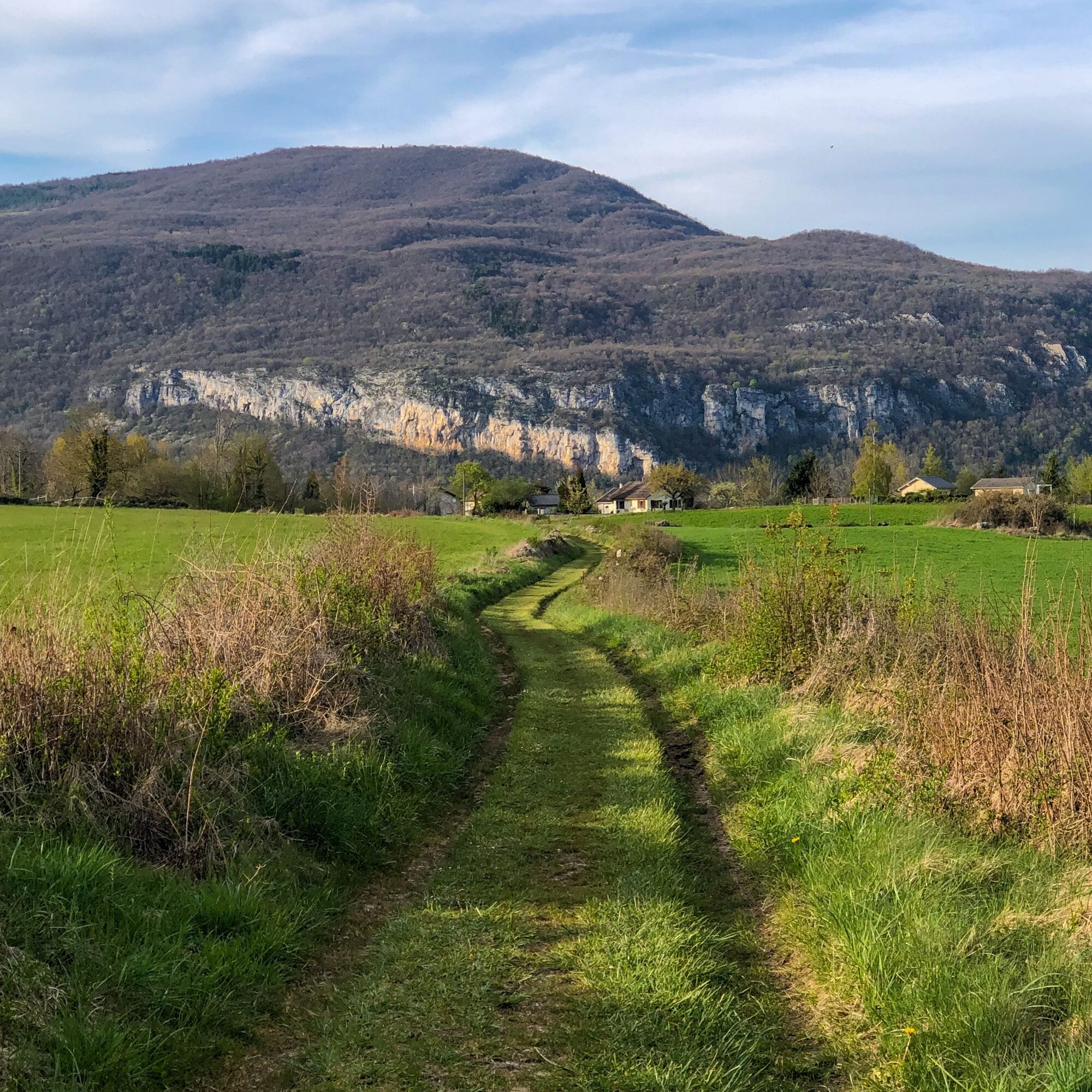
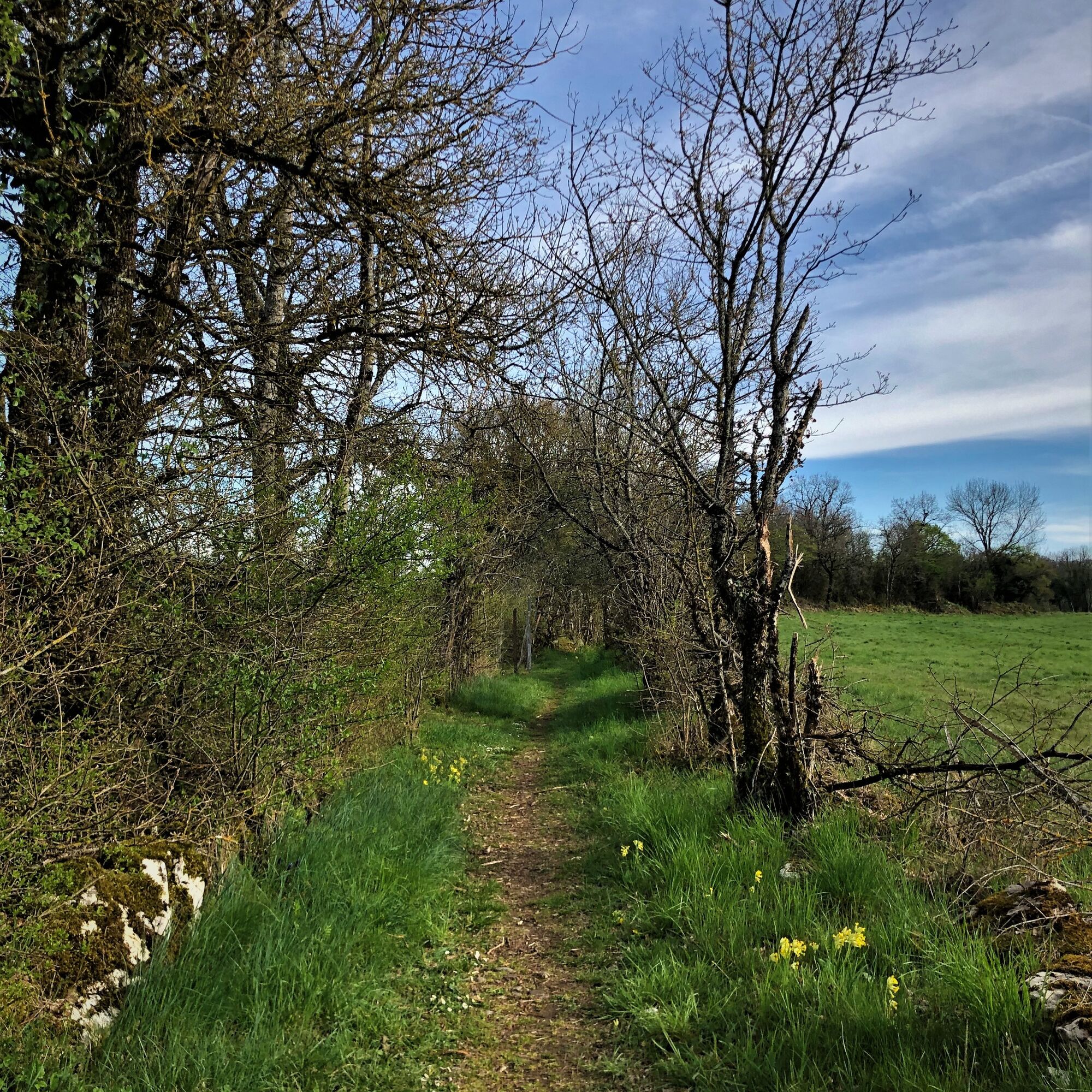
It is recommended to wear good shoes for trail running.
Please respect the markings, other users, traffic when crossing roads, keep your waste with you, and respect private property.
Defective markings, incidents / safety, usage conflicts, illegal dumping? : locate and share the issue encountered on the national alert system via the SURICATE app or via the website https://sentinelles.sportsdenature.fr/
Motorways from Lyon:
A40, exit 8 Saint-Martin-du-Fresne and Hauteville for Les Plans d’Hotonnes and Plateau de Retord
A42, exit 8: Ambérieu-en-Bugey
A43, exit 10 Les Abrets
Departmental roads
D 1504 from Ambérieu-en-Bugey
D 992 from Chambéry
The starting point is not accessible by public transport.
It is possible to park in the parking lot at Place de la Mairie.
T1
APIDAE Tourism data updated on 25/10/2022 by "Office de Tourisme Bugey Sud Grand Colombier".
An error on this sheet? Write to the owner citing these references:
Sheet name: Parcours trail de Contrevoz: red circuit 11 km | Sheet ID: 5916605 | URL (link) to this page Outdooractive.
Nearby highlights:
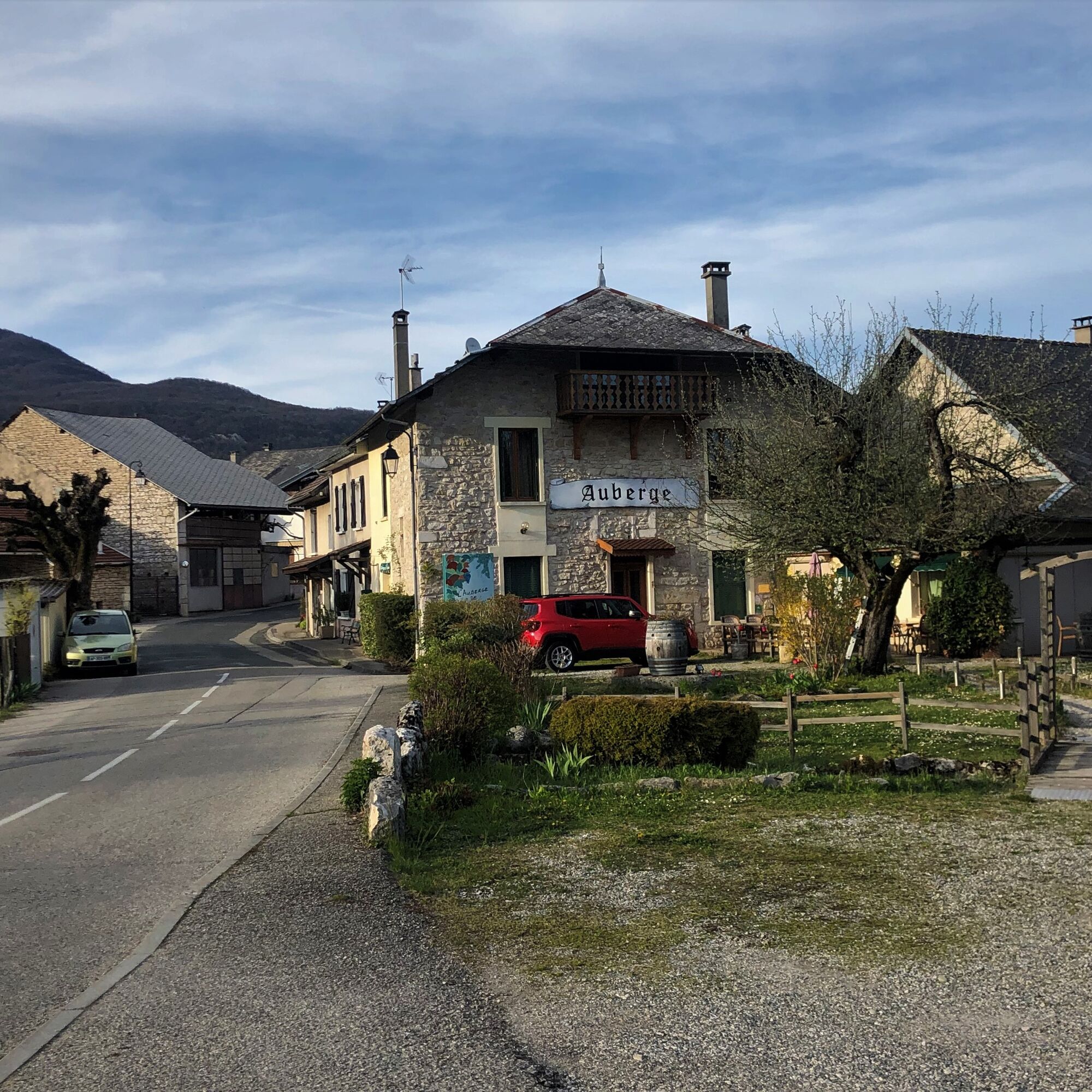
Enjoy Bugey's gastronomy after your outing at l'Auberge de Contrevoz.
This route is part of the "Ain Outdoor" selection.
Népszerű túrák a környéken
-
1,0
Hike of the Clairefontaine waterfall
könnyűKirándulás 5,46 km -
Hike: Gorges de Thurignin
nehézKirándulás 14,2 km -
Hike of the Grand Colombier starting from Munet
nehézKirándulás 16,0 km -
Hike starting from Parves-et-Nattages: le circuit du Sorbier
könnyűKirándulás 11,4 km -
Cycling tour : Marshes and vineyards in Bugey
könnyűOrszágúti kerékpározás 33,1 km -
Hike : Armaille Lake
könnyűKirándulás 9,42 km -
Hike: A wolf life.
könnyűKirándulás 7,22 km -
Hike : Lake and vineyards
könnyűKirándulás 9,76 km -
Hike in Bugey: Chanduraz from Béon
nehézKirándulás 12,6 km -
Running trail: Chanduraz from Chavornay
nehézTrailrunning 12,1 km
Túrázás & nyomkövetés


Ne maradjon le az ajánlatokról és az inspirációról a következő nyaralásához!
Az Ön e-mail címe hozzá lett adva a levelezőlistához.