


Across hill meadows through the eastern Günztal - Ottobeuren's east
Nehézségi szint: 2


At the market square in Ottobeuren, we take Bahnhofstraße towards the outdoor pool and then turn right into Markt Rettenbacher Straße. It goes uphill to Halbersberg. Caution is advised before crossing...
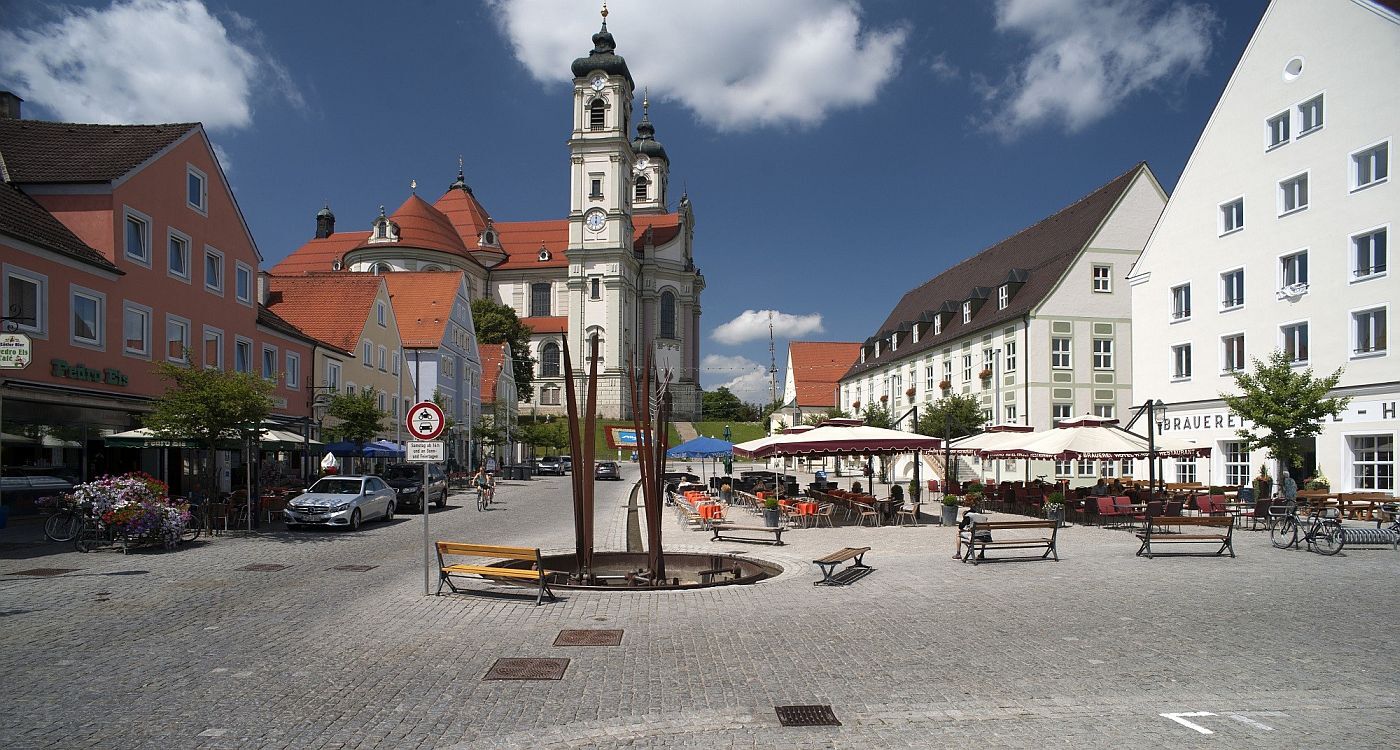
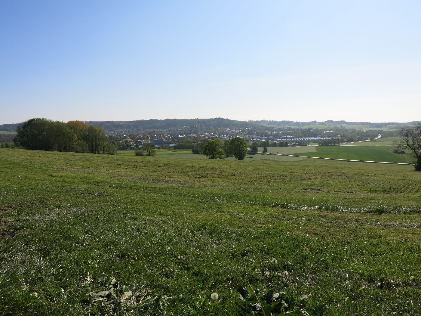
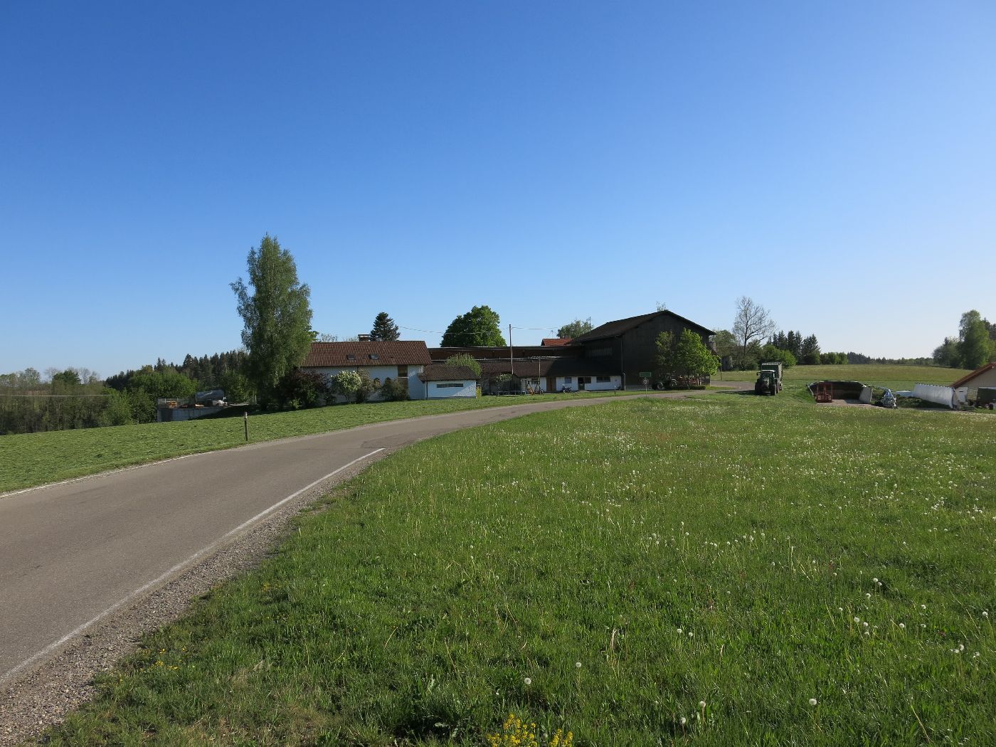
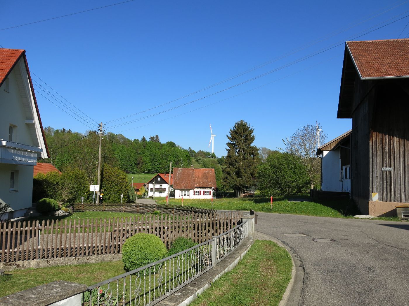
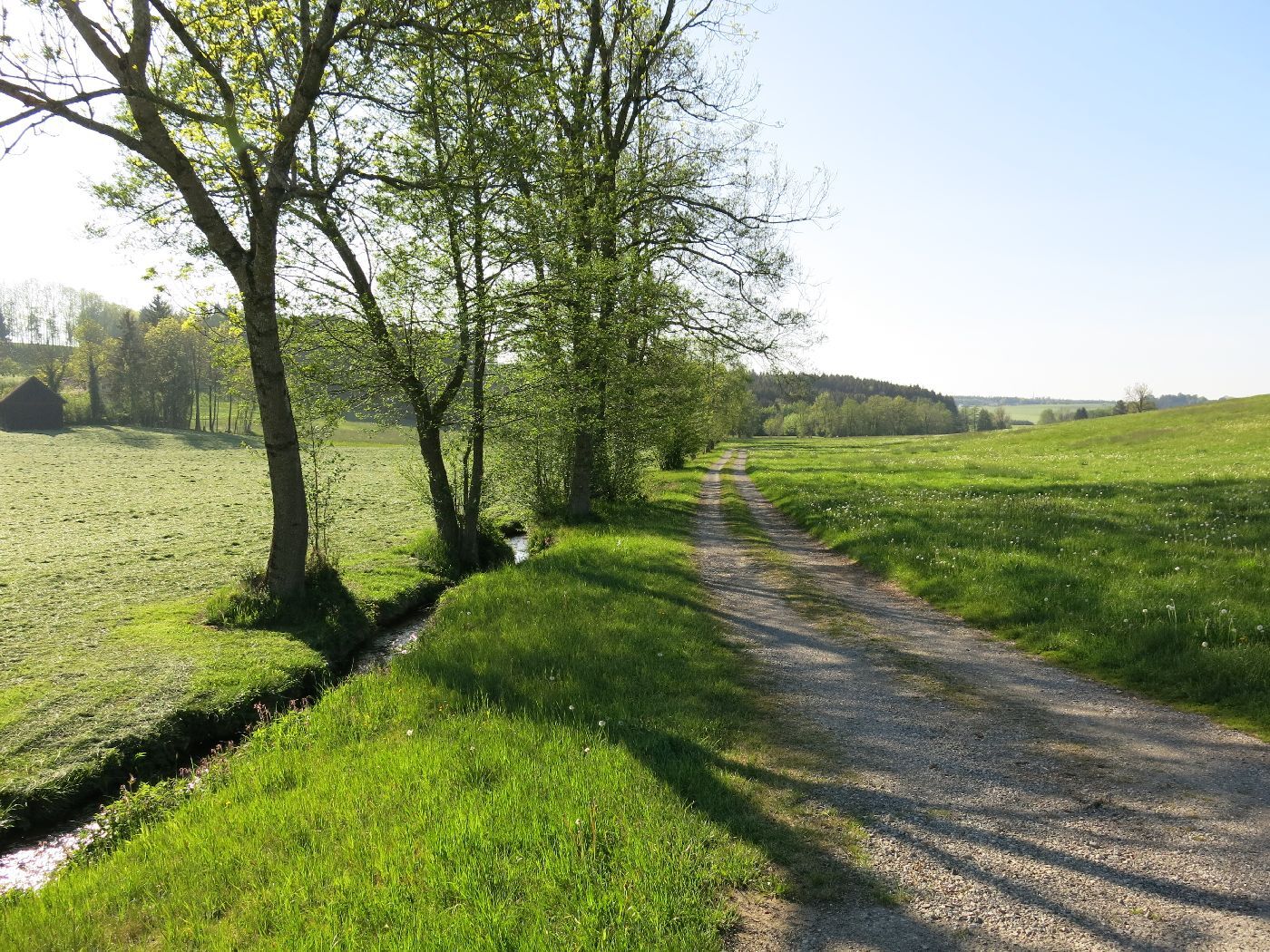
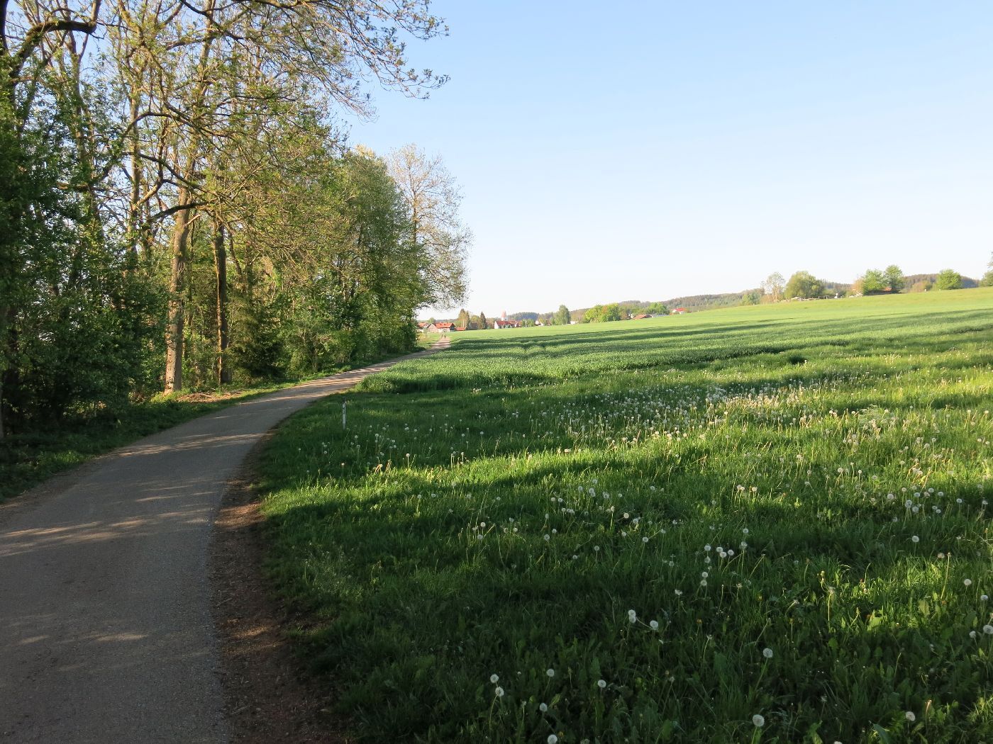
At the market square in Ottobeuren, we take Bahnhofstraße towards the outdoor pool and then turn right into Markt Rettenbacher Straße. It goes uphill to Halbersberg. Caution is advised before crossing the state road. At the top, you are rewarded with a beautiful view of Ottobeuren and the Benedictine Abbey. Then it continues right to Guggenberg and then left for a short stretch on the bike path parallel to the state road. After 100 meters, we turn right and follow the path to Unterhaslach and Oberhaslach. With good visibility, the Allgäu Alps can be seen in the distance. The path leads to the state road to Ollarzried, which is situated picturesquely on the hill. Before the inn "Hoigata," it goes left downhill towards Dingisweiler, then to Zadels and further downhill to Ronsberg in the eastern Günztal. We follow the Günztal cycle path to Engetried and further to Markt Rettenbach. After crossing the state road, we follow the narrow lane to Gottenau and then on to Frechenrieden. Along the edge of the forest, it then goes left on a narrow road uphill back to Langenberg and Halbersberg and downhill to Ottobeuren. Caution is advised again before crossing the state road.


At the market square in Ottobeuren, we take Bahnhofstraße towards the outdoor pool and then turn right into Markt Rettenbacher Straße. It goes uphill to Halbersberg. Caution is advised before crossing the state road. At the top, you are rewarded with a beautiful view of Ottobeuren and the Benedictine Abbey. Then it continues right to Guggenberg and then left for a short stretch on the bike path parallel to the state road. After 100 meters, we turn right and follow the path to Unterhaslach and Oberhaslach. With good visibility, the Allgäu Alps can be seen in the distance. The path leads to the state road to Ollarzried, which is situated picturesquely on the hill. Before the inn "Hoigata," it goes left downhill towards Dingisweiler, then to Zadels and further downhill to Ronsberg in the eastern Günztal. We follow the Günztal cycle path to Engetried and further to Markt Rettenbach. After crossing the state road, we follow the narrow lane to Gottenau and then on to Frechenrieden. Along the edge of the forest, it then goes left on a narrow road uphill back to Langenberg and Halbersberg and downhill to Ottobeuren. Caution is advised again before crossing the state road.
Caution is advised when crossing the state road before Halbersberg as well as at the junction onto the state road before Ollarzried.
Arrival by train to Memmingen. From there, bus line 955 to Ottobeuren, stop Marktplatz. Bus timetable online - Verkehrsverbund Mittelschwaben
Parking available at the Basilica parking lot Ottobeuren, Sebastian-Kneipp-Str. 1
2
The inn "Hoigata" in Ollarzried is well suited for a small refreshment.
Népszerű túrák a környéken
-
5,0
On the Jakobus pilgrim route to the Schachenweiher
közepesKirándulás 11,9 km -
4,0
Glücksplaneten-Tour - Sonnensystem erkunden in Ottobeuren
könnyűKirándulás 6,31 km -
Schelmenheide circular route
könnyűKirándulás 5,77 km -
Günztal - Biotope circular route
könnyűKirándulás 2,44 km -
5,0
Through the Günztal to the Benninger Ried - northwest of Ottobeuren
közepesBiciklizés 34,8 km -
Through the Günz valley to the birthplace of Kneipp - northern Ottobeuren
könnyűBiciklizés 22,3 km -
DB-Günztalradweg
Biciklizés 12,9 km -
Hill ranges with a wide view - south of Ottobeuren
közepesBiciklizés 25,3 km -
Kalkofenweg Ollarzried
könnyűKirándulás 2,85 km -
Around the Benedictine monastery
könnyűKirándulás 1,59 km
Túrázás & nyomkövetés


Ne maradjon le az ajánlatokról és az inspirációról a következő nyaralásához!
Az Ön e-mail címe hozzá lett adva a levelezőlistához.