


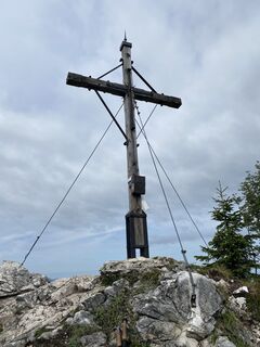
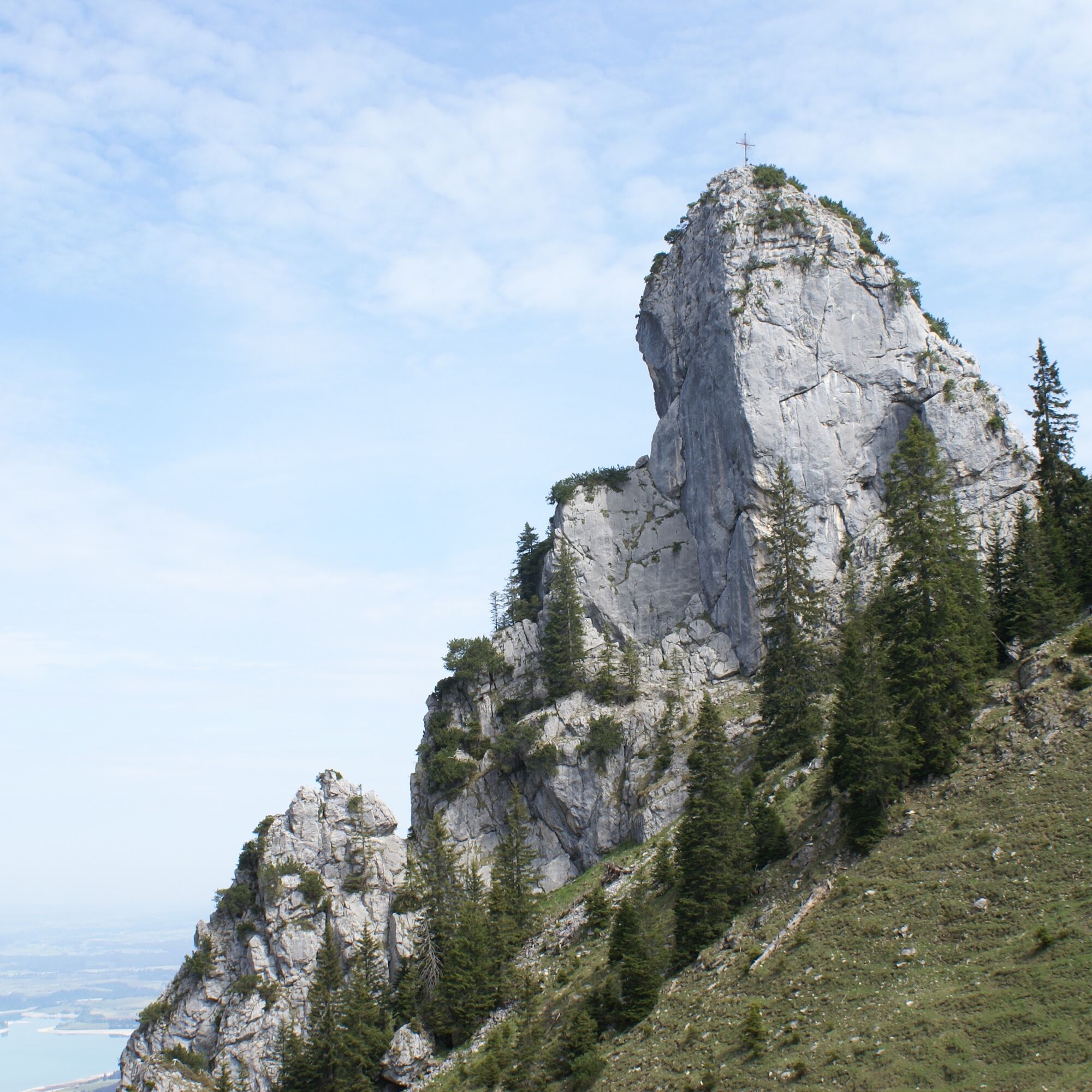
Schönleitenschrofen


Fotók felhasználóinkról
-
 © Piotr WrzesinskiLétrehozta a 14.02.2024
 -

 © Michael HohlfeldLétrehozta a 29.10.2025
 -
 © Michael HohlfeldLétrehozta a 29.10.2025
 -
 © Michael HohlfeldLétrehozta a 29.10.2025
 -
 © Michael HohlfeldLétrehozta a 29.10.2025
 -
 © Michael HohlfeldLétrehozta a 29.10.2025
 -
 © Michael HohlfeldLétrehozta a 29.10.2025
 -
 © henslerLétrehozta a 08.09.2025
 -
 © henslerLétrehozta a 08.09.2025
 -
 © henslerLétrehozta a 08.09.2025
 -

 © Rainer KieningLétrehozta a 04.09.2025
 -
 © Rainer KieningLétrehozta a 04.09.2025
 -
 © Rainer KieningLétrehozta a 04.09.2025
 -
 © Rainer KieningLétrehozta a 04.09.2025
 -
 © Rainer KieningLétrehozta a 04.09.2025
 -
 © Rainer KieningLétrehozta a 04.09.2025
 -
 © Lucas P. 1Létrehozta a 18.06.2025
 -
 © Lucas P. 1Létrehozta a 18.06.2025
 -
 © MattiLétrehozta a 18.10.2023
 -

 © Elke HafnerLétrehozta a 30.12.2022
 -
 © Elke HafnerLétrehozta a 30.12.2022
 -
 © Elke HafnerLétrehozta a 30.12.2022
 -
 © Elke HafnerLétrehozta a 30.12.2022
 -
 © Elke HafnerLétrehozta a 30.12.2022
 -
 © Elke HafnerLétrehozta a 30.12.2022
 -
 © Elke HafnerLétrehozta a 30.12.2022
 -
 © Elke HafnerLétrehozta a 30.12.2022
 -
 © Elke HafnerLétrehozta a 30.12.2022
 -
 © Elke HafnerLétrehozta a 30.12.2022
 -
 © Edit SzoboszlayLétrehozta a 08.08.2021
 -
 © Marian RollLétrehozta a 10.05.2023
 -
 © Marian RollLétrehozta a 10.05.2023
 -
 © Marian RollLétrehozta a 10.05.2023
 -

 © Cristian Mario RotaLétrehozta a 20.08.2024
 -
 © Cristian Mario RotaLétrehozta a 20.08.2024
 -
 © Cristian Mario RotaLétrehozta a 20.08.2024
 -
 © Cristian Mario RotaLétrehozta a 20.08.2024


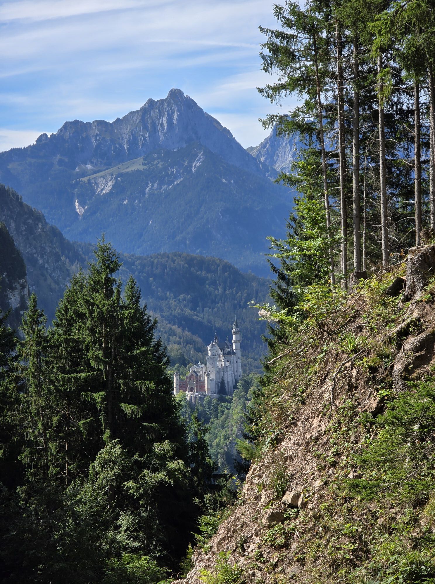

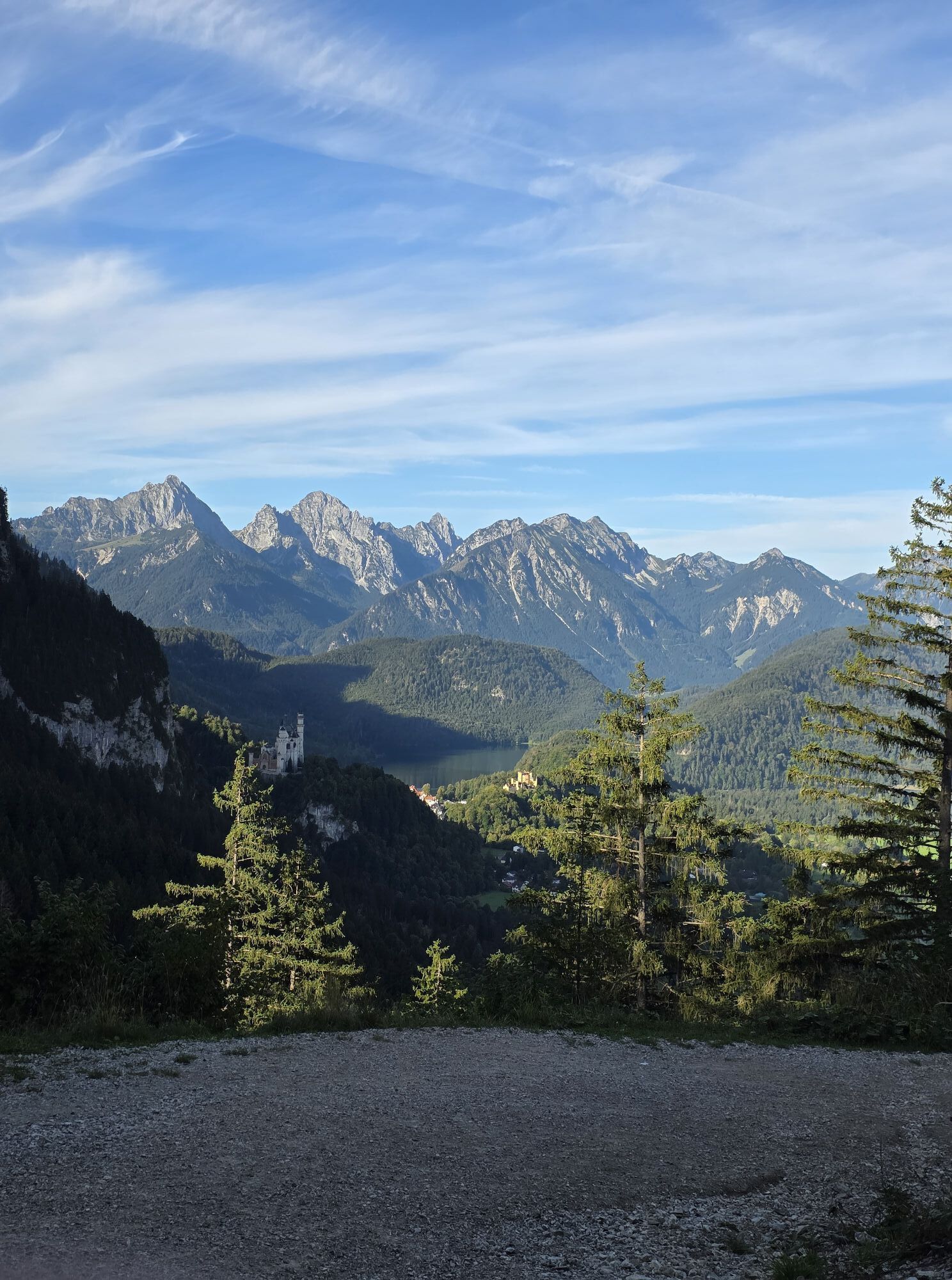
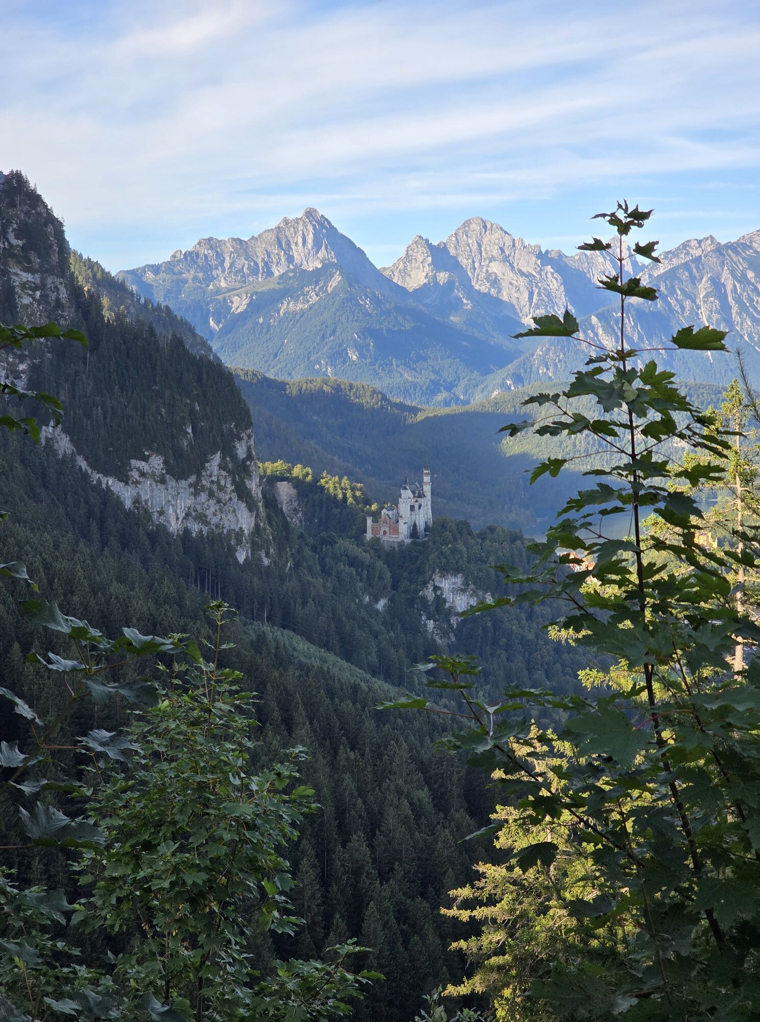


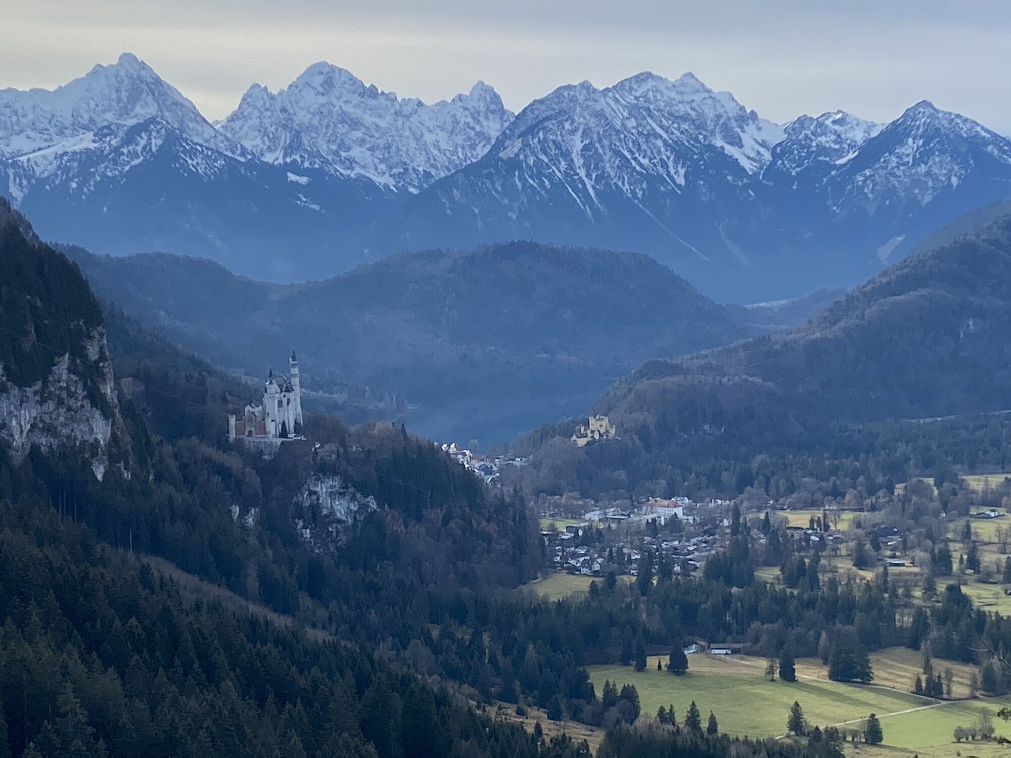


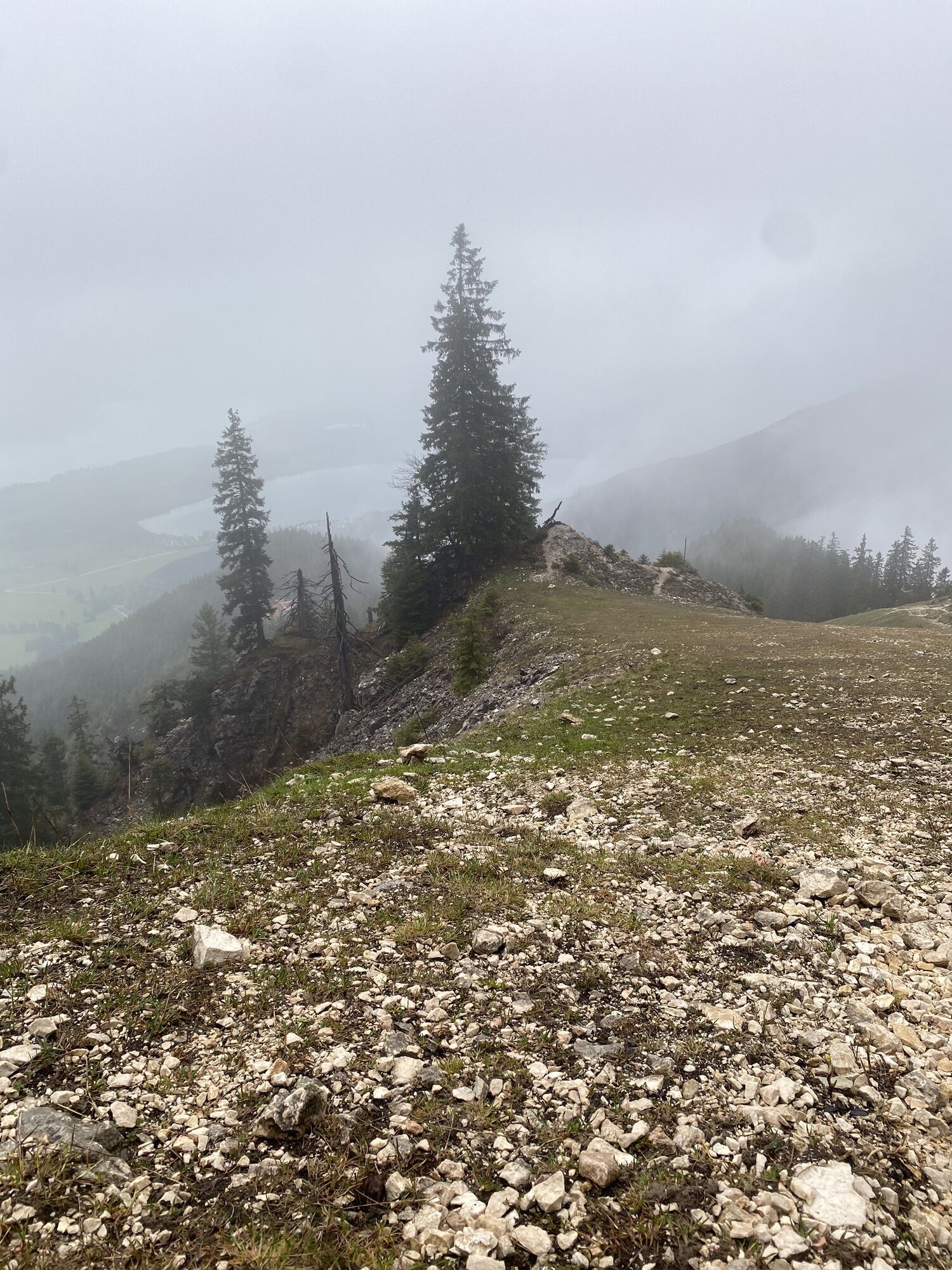


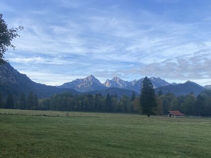
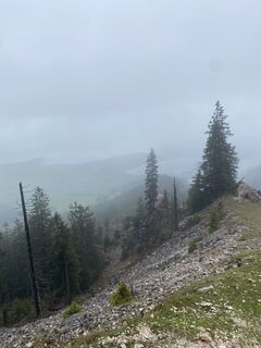
A moderately difficult mountain hike on varied paths with the opportunity to climb three peaks at once. The wild and romantic landscape and the impressive views make this tour a real highlight. Surefootedness...
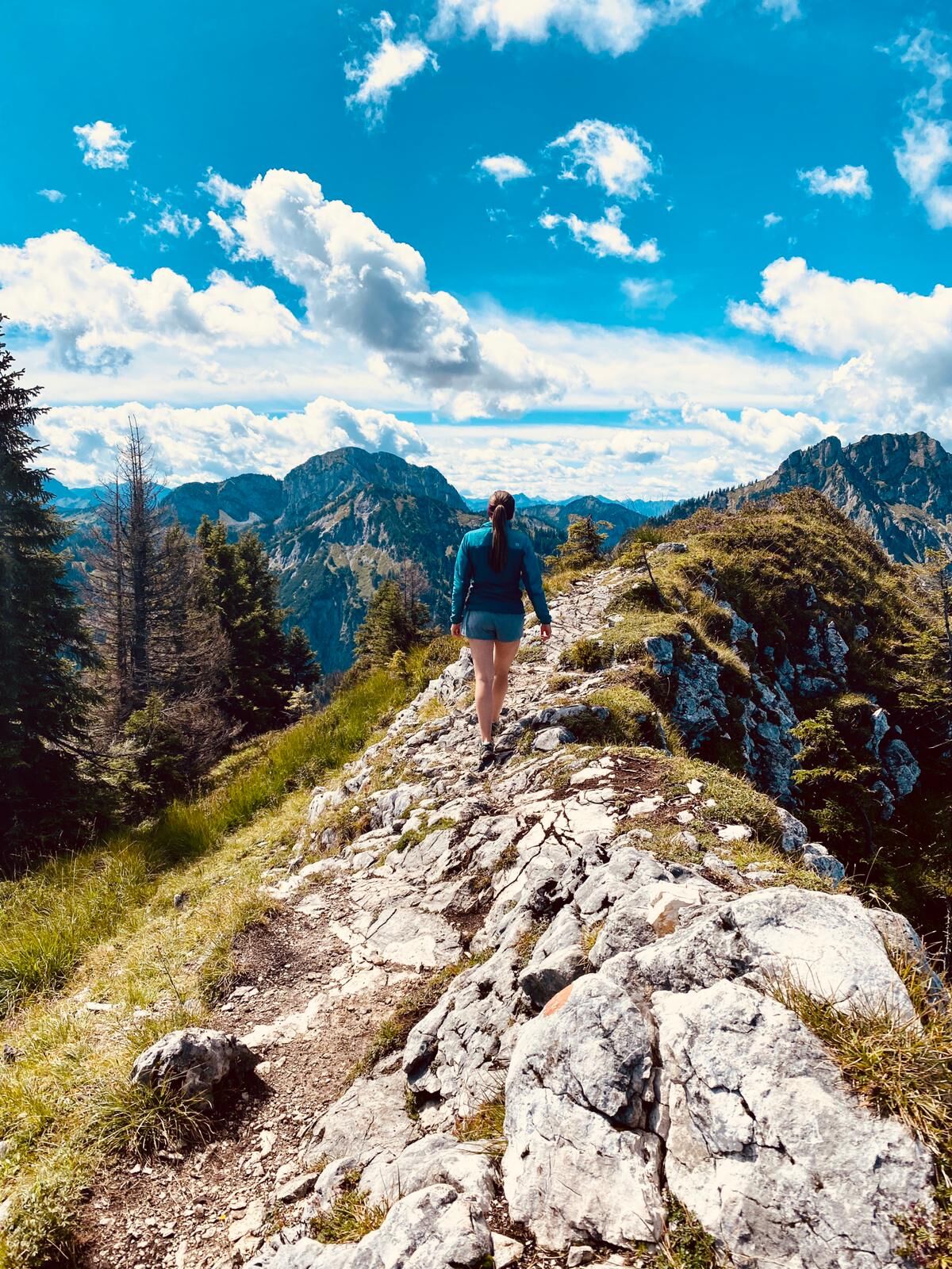
A moderately difficult mountain hike on varied paths with the opportunity to climb three peaks at once. The wild and romantic landscape and the impressive views make this tour a real highlight. Surefootedness and a head for heights are required around the summits.

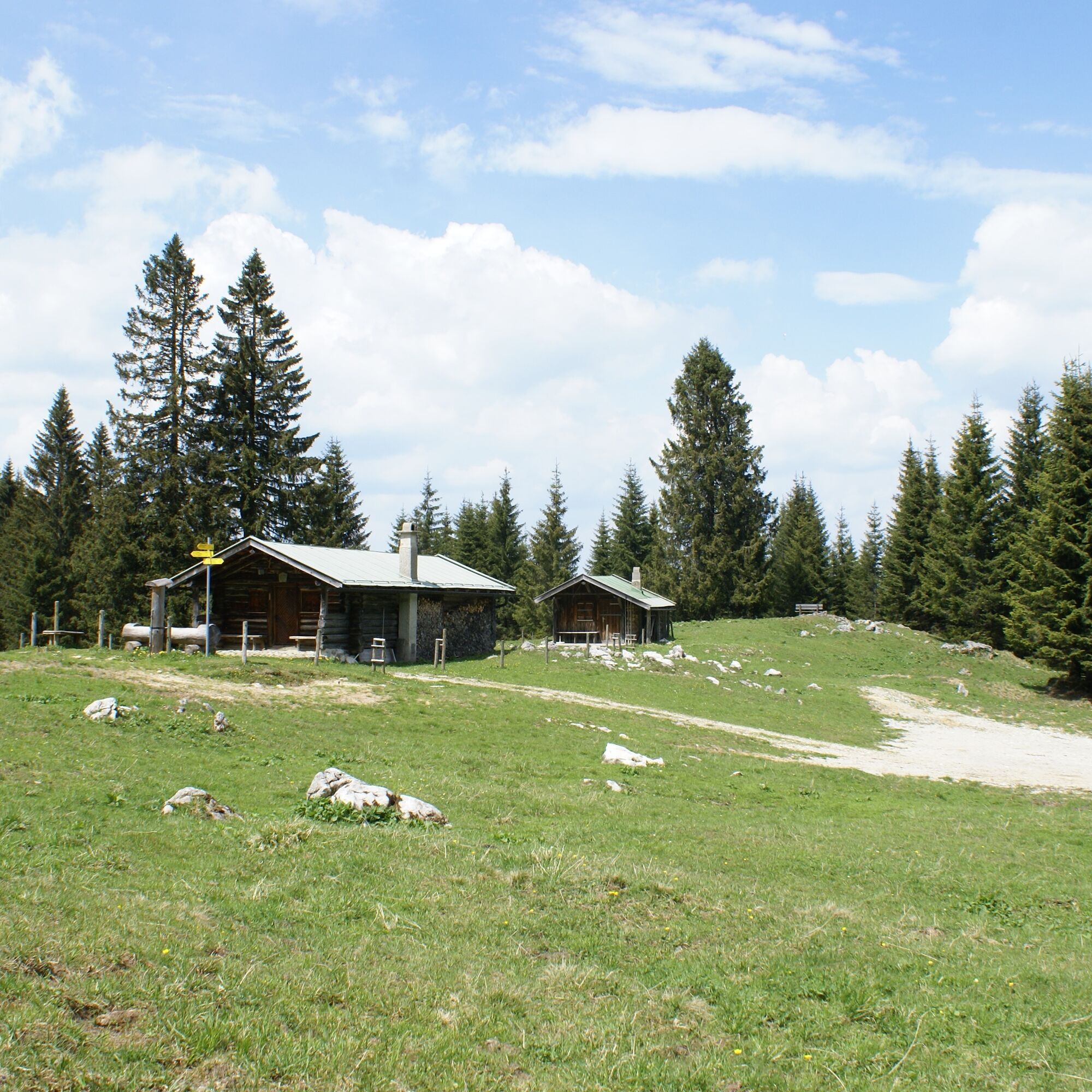

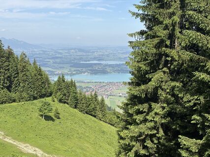
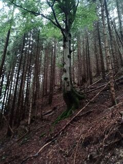
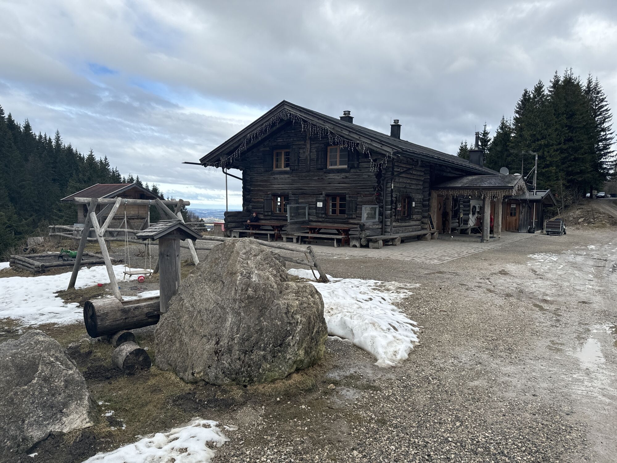
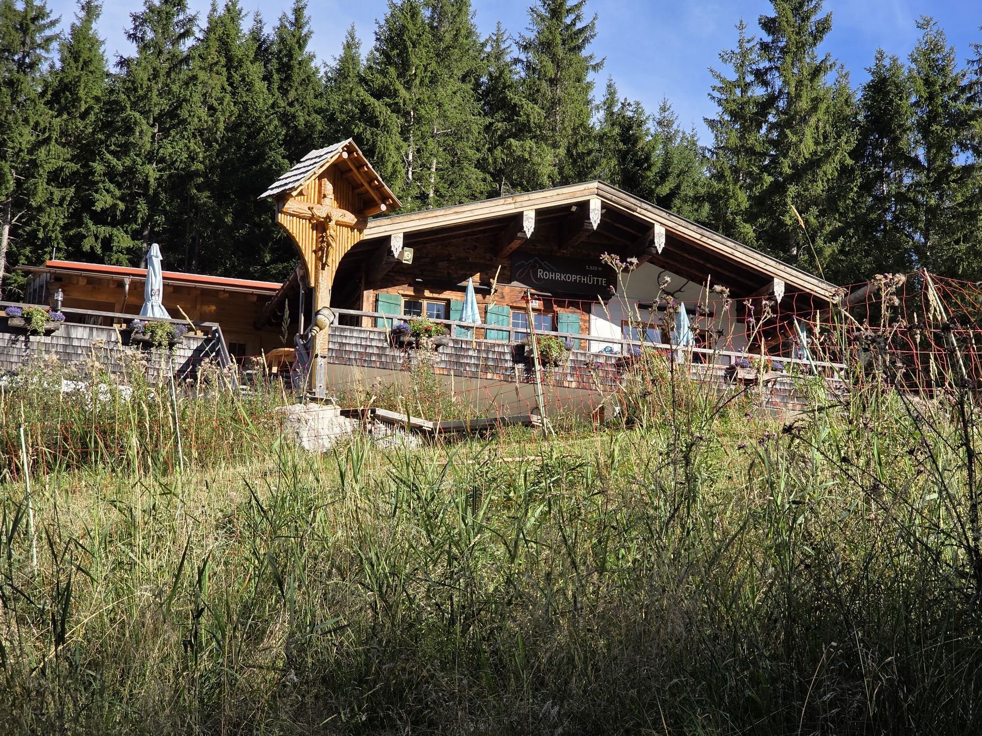
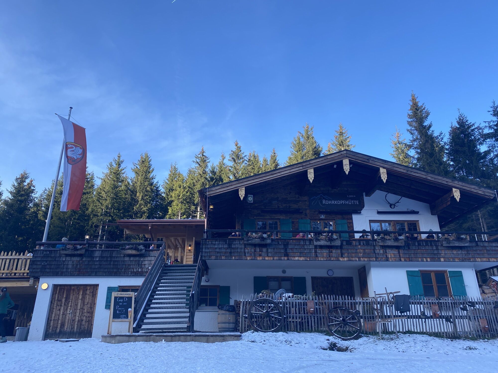
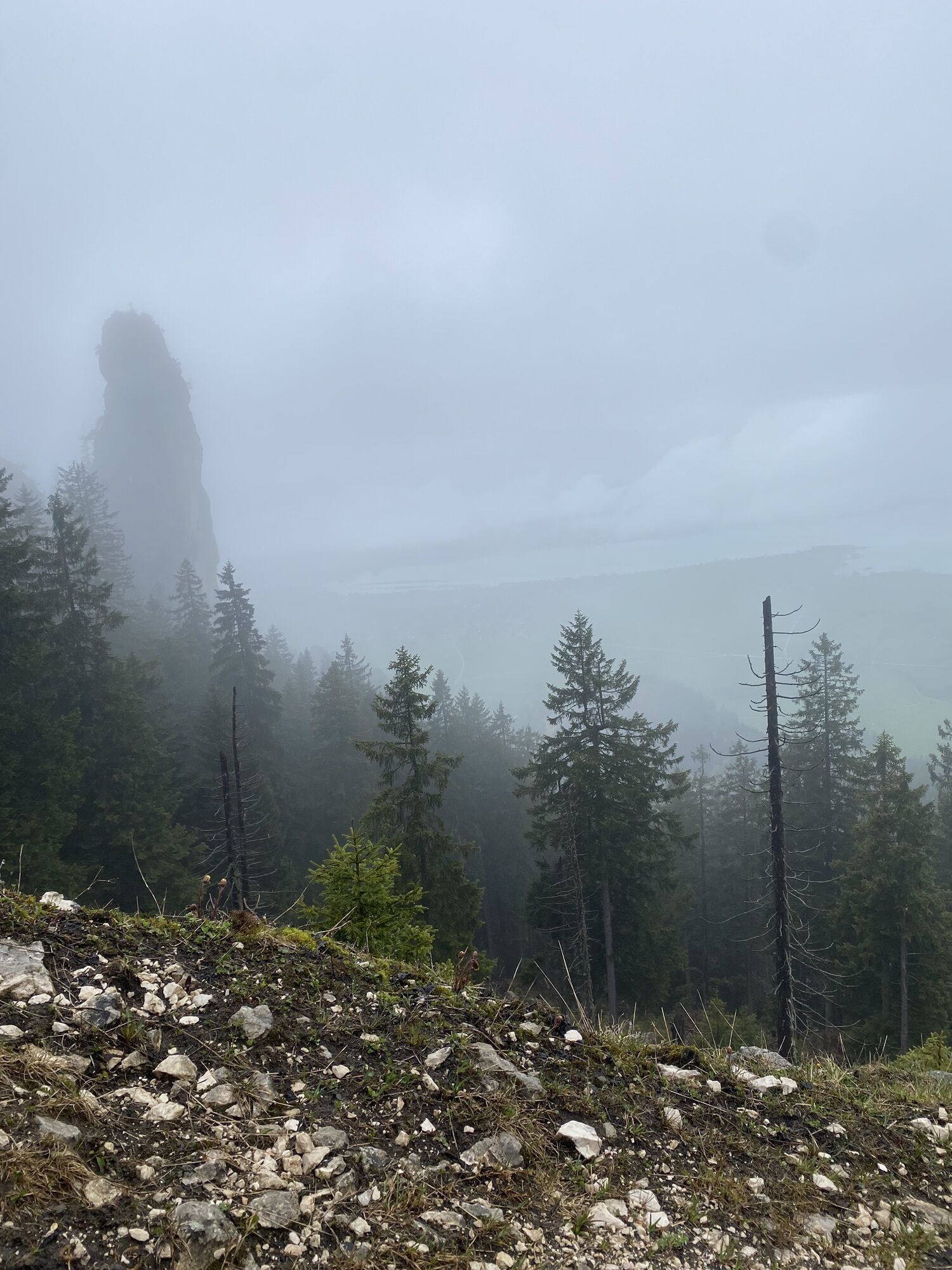
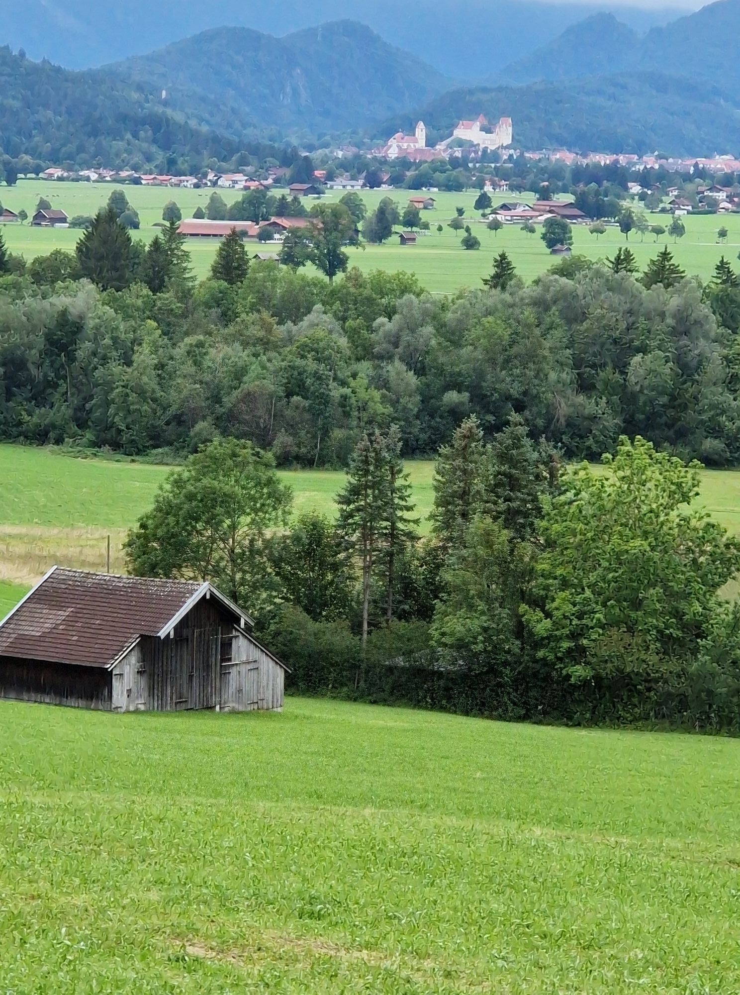
From the parking lot at the Tegelbergbahn valley station, the Schutzengelweg trail leads up to the Rohrkopfhütte - through the Ammergebirge, Bavaria's largest nature reserve. From the Rohrkopfhütte, follow the path in the direction of the Tegelbergbahn mountain station. A little below, the marked path to Schönleitenschrofen branches off to the left.
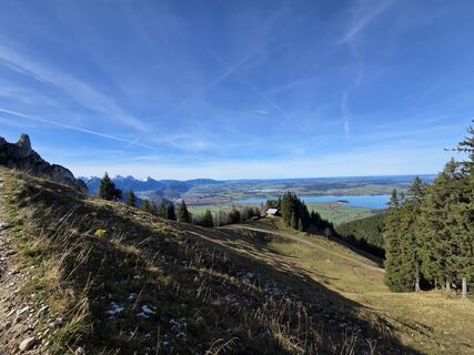
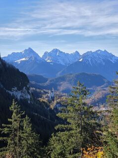
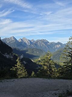
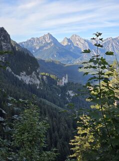
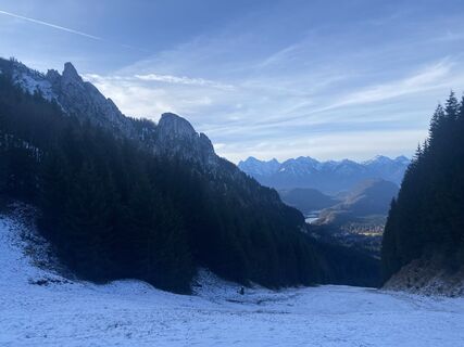
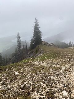
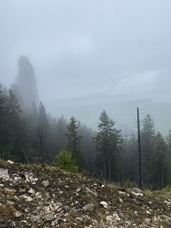
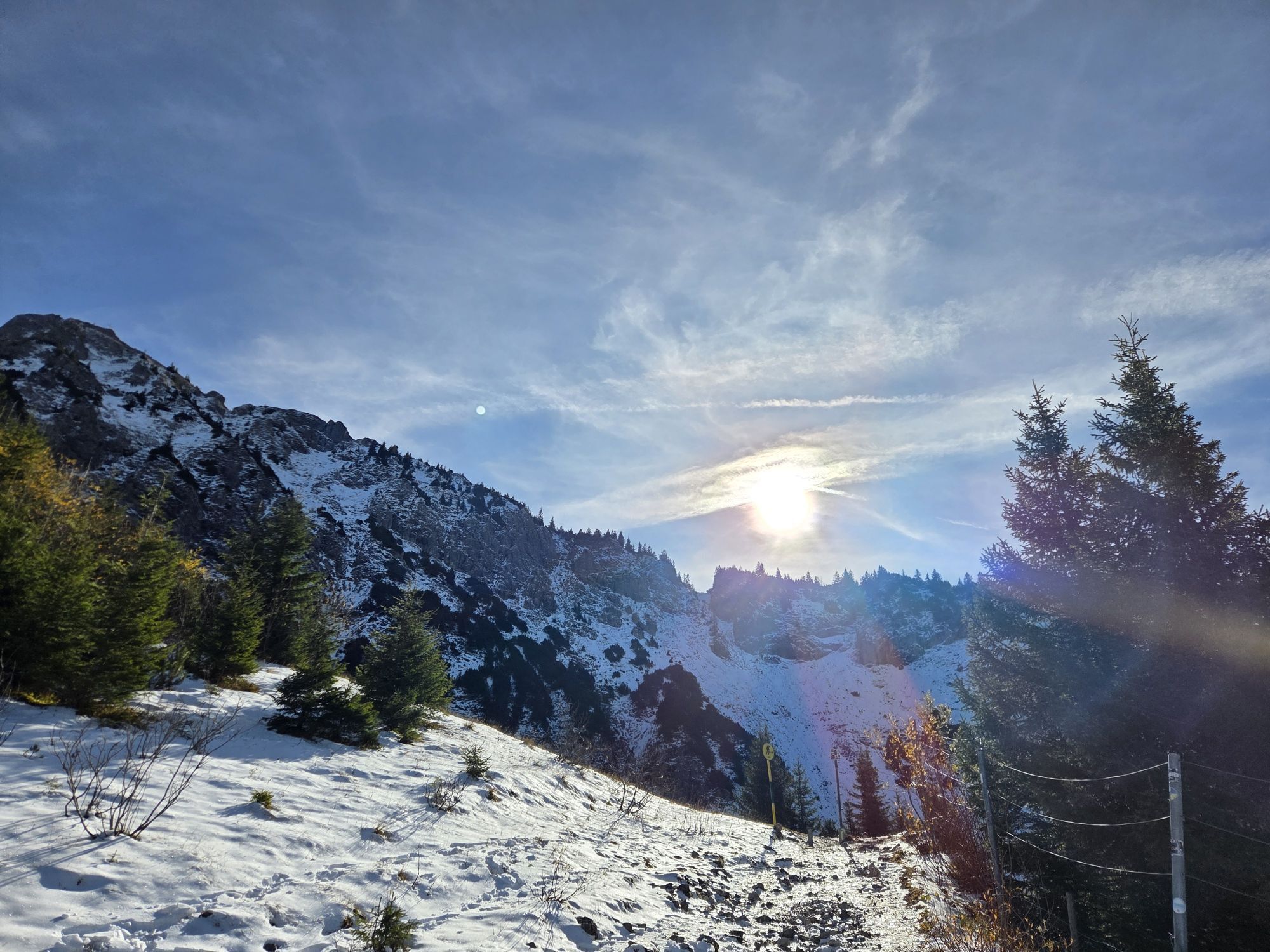
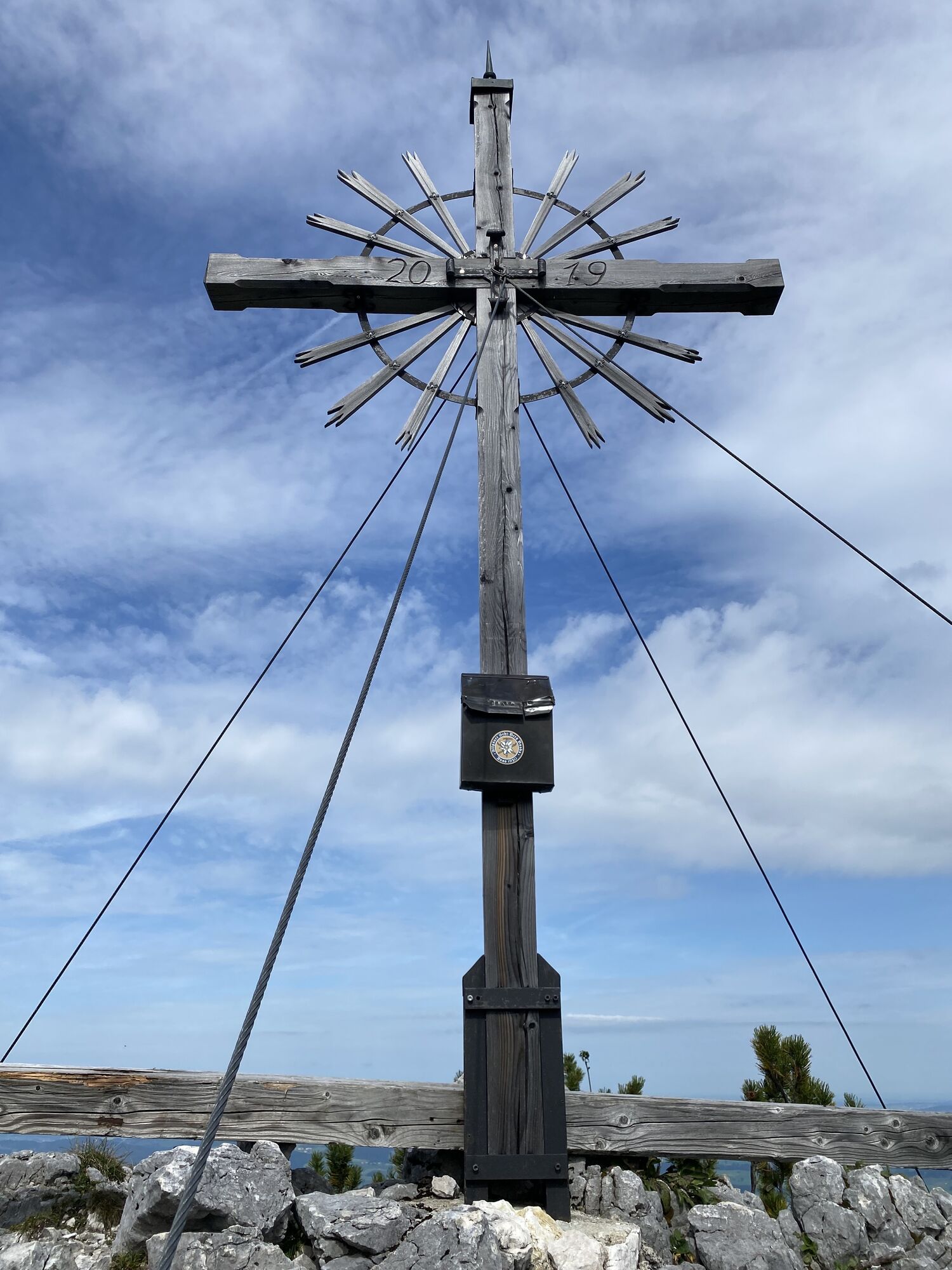
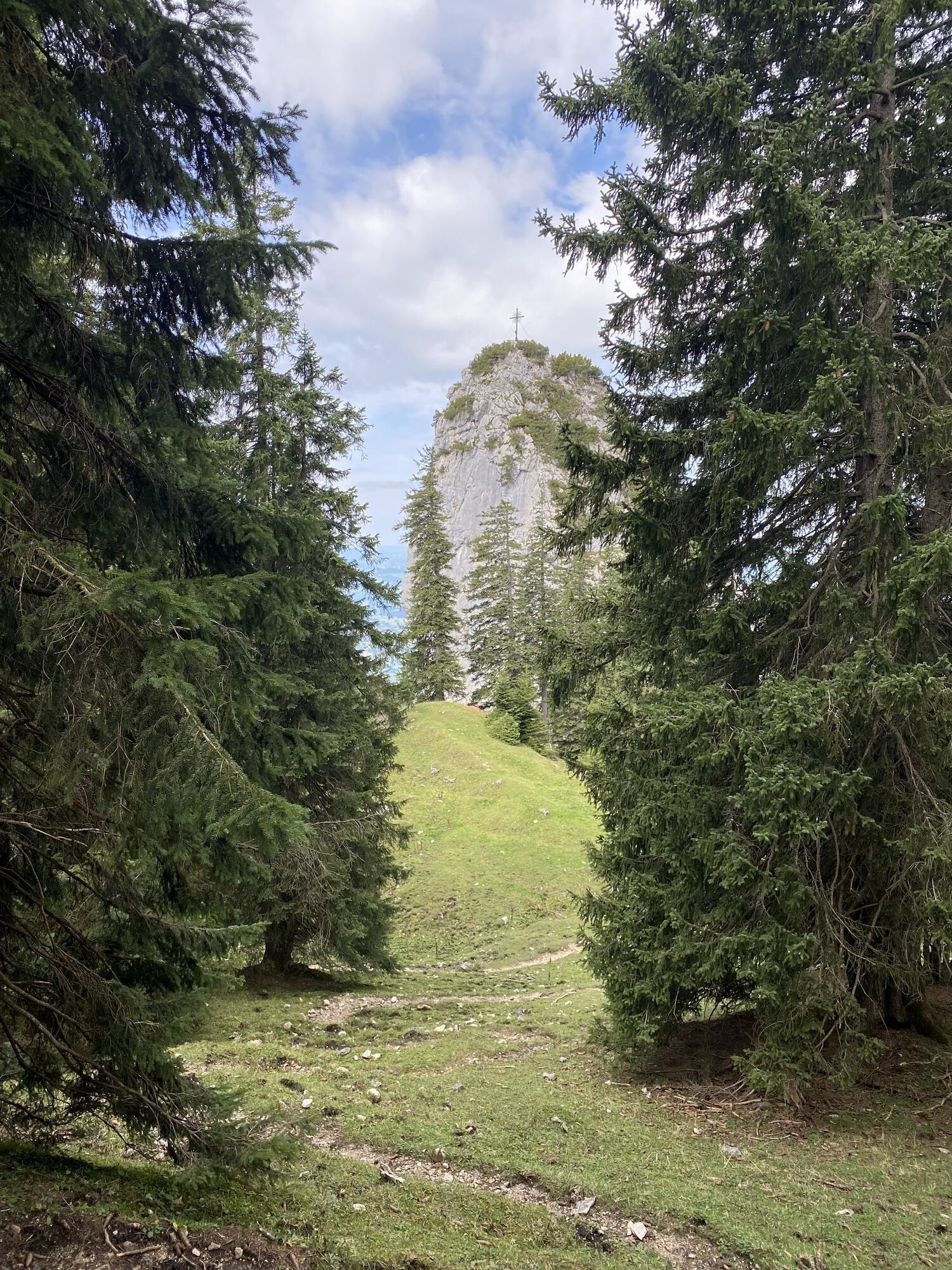
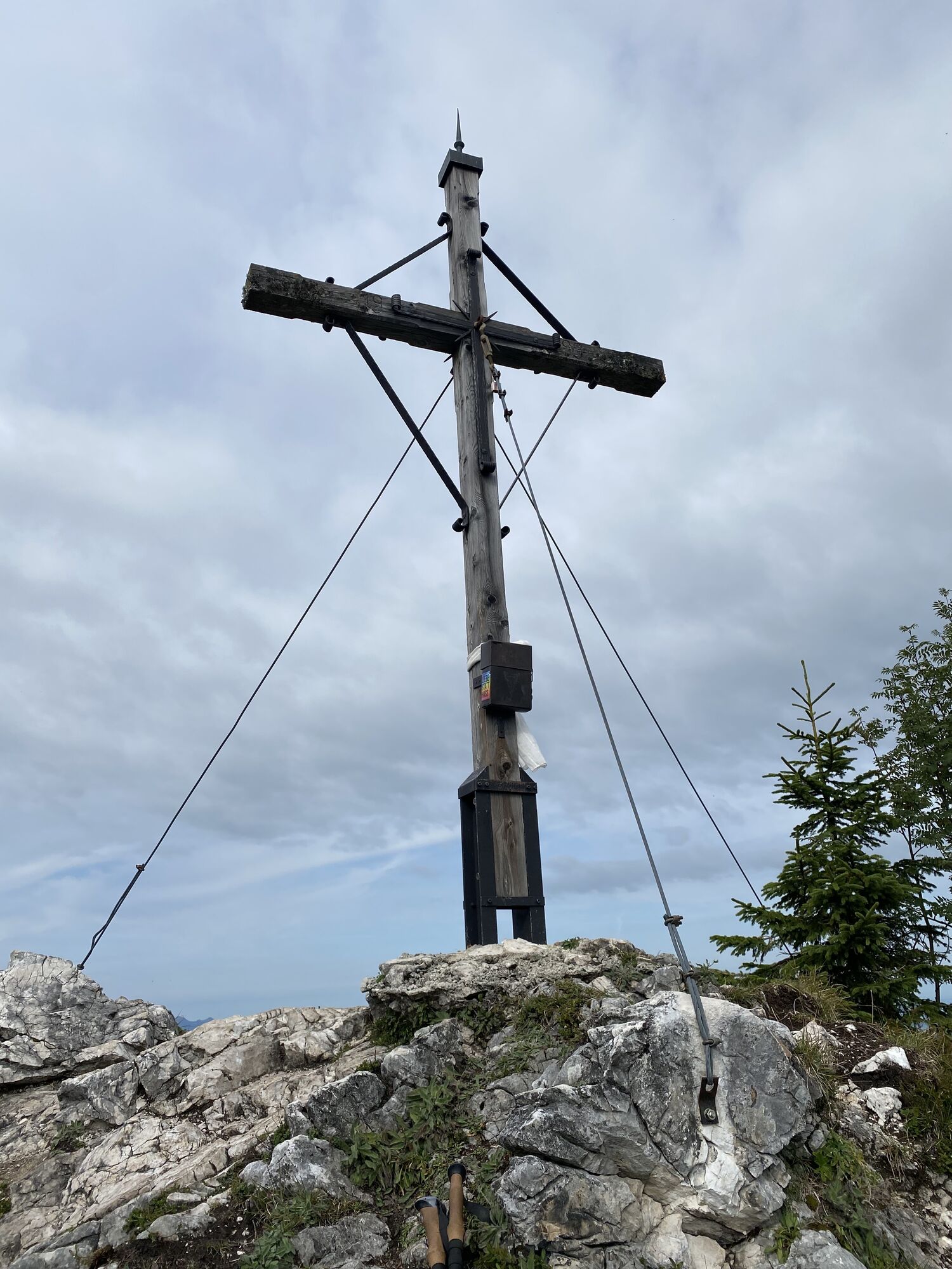
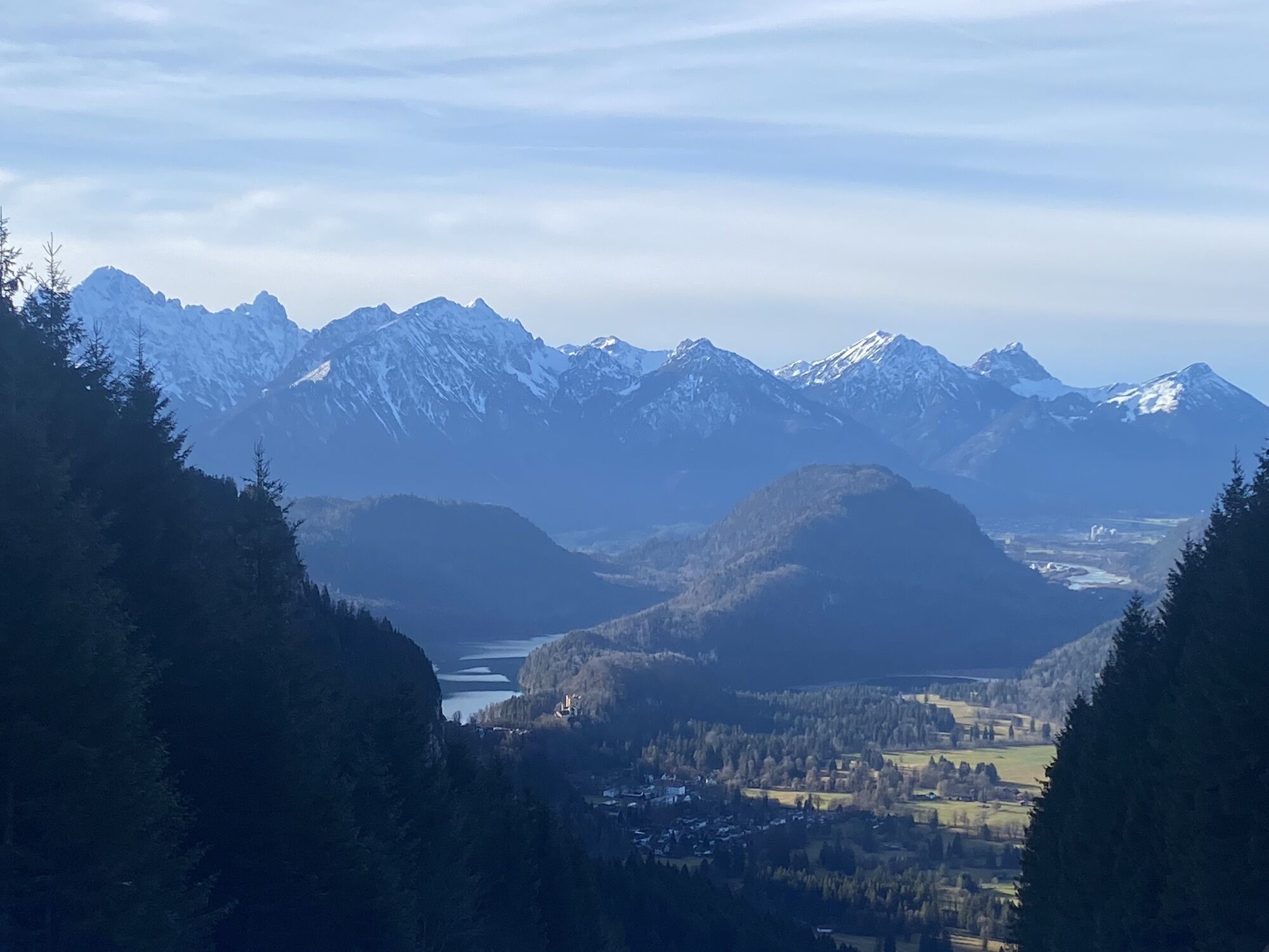
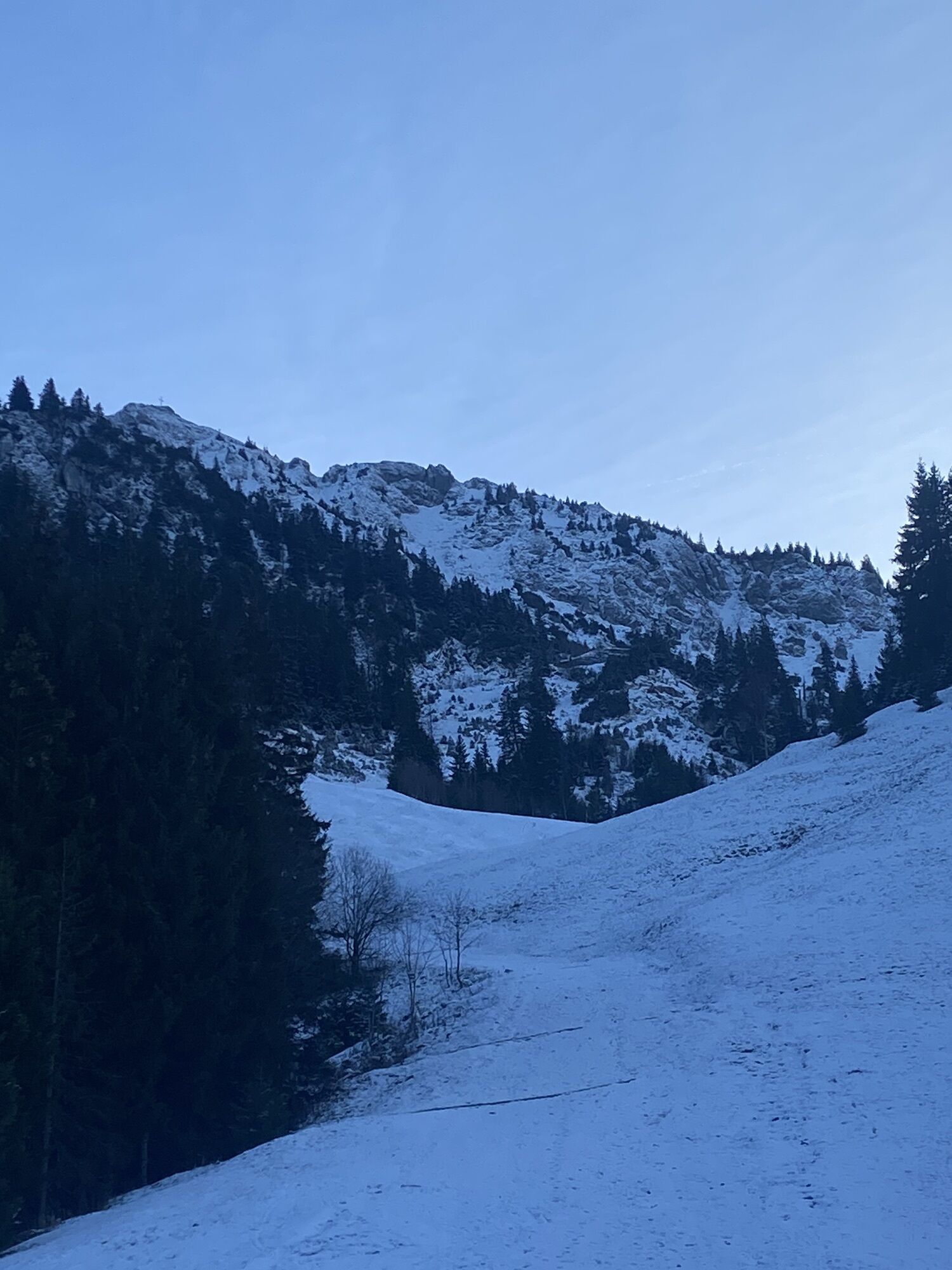
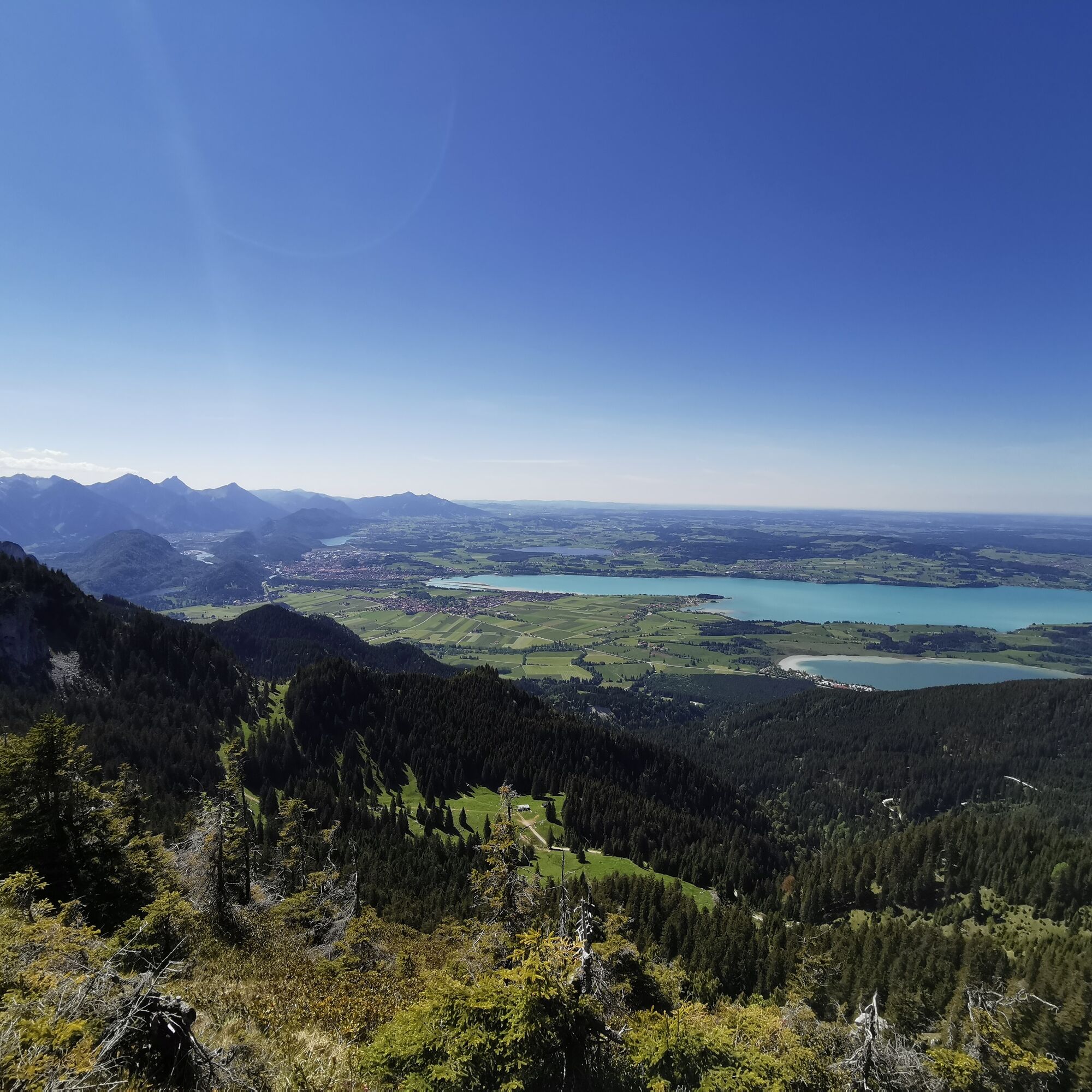
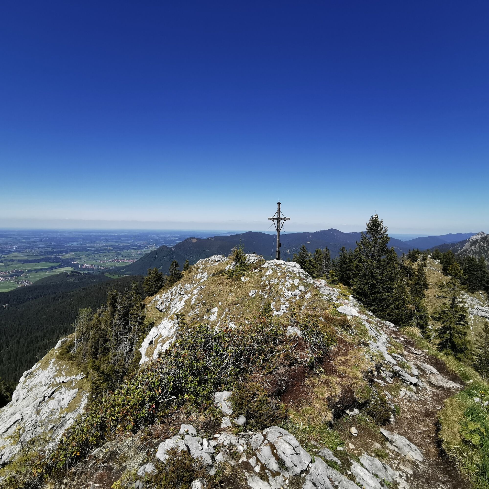
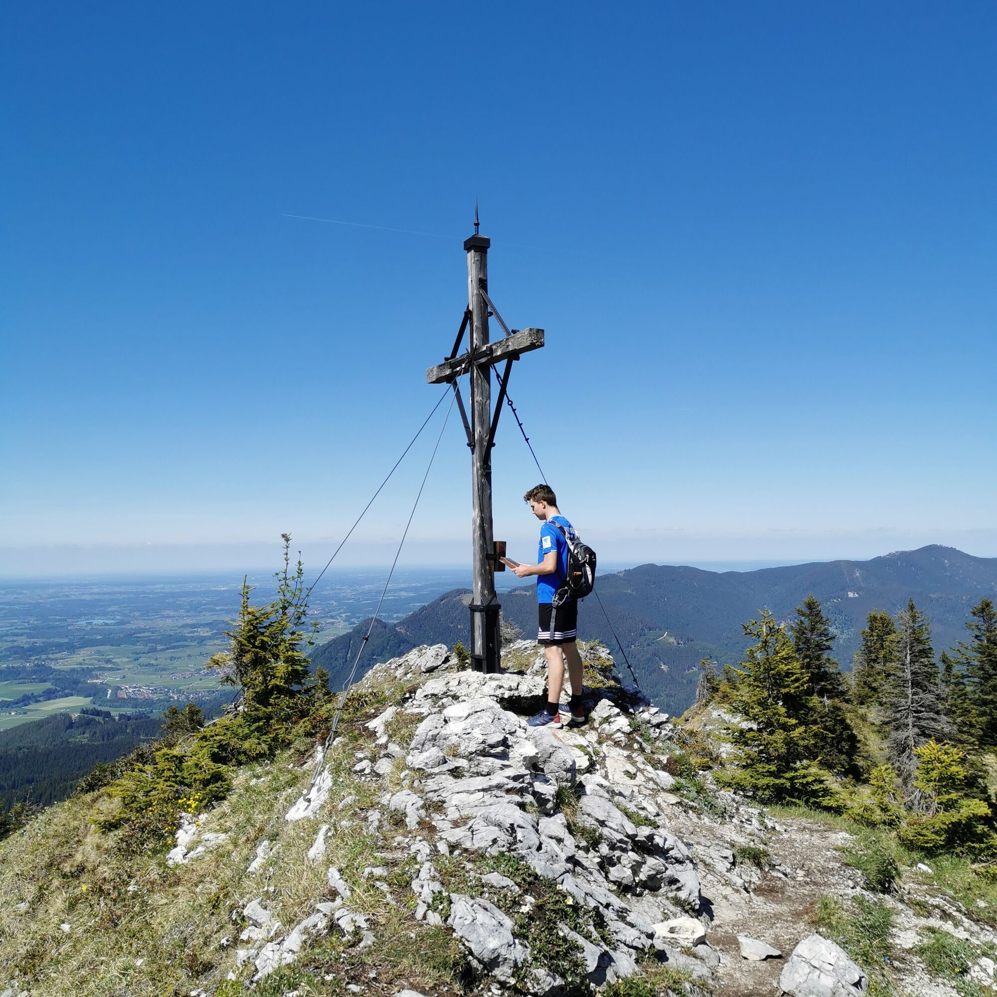
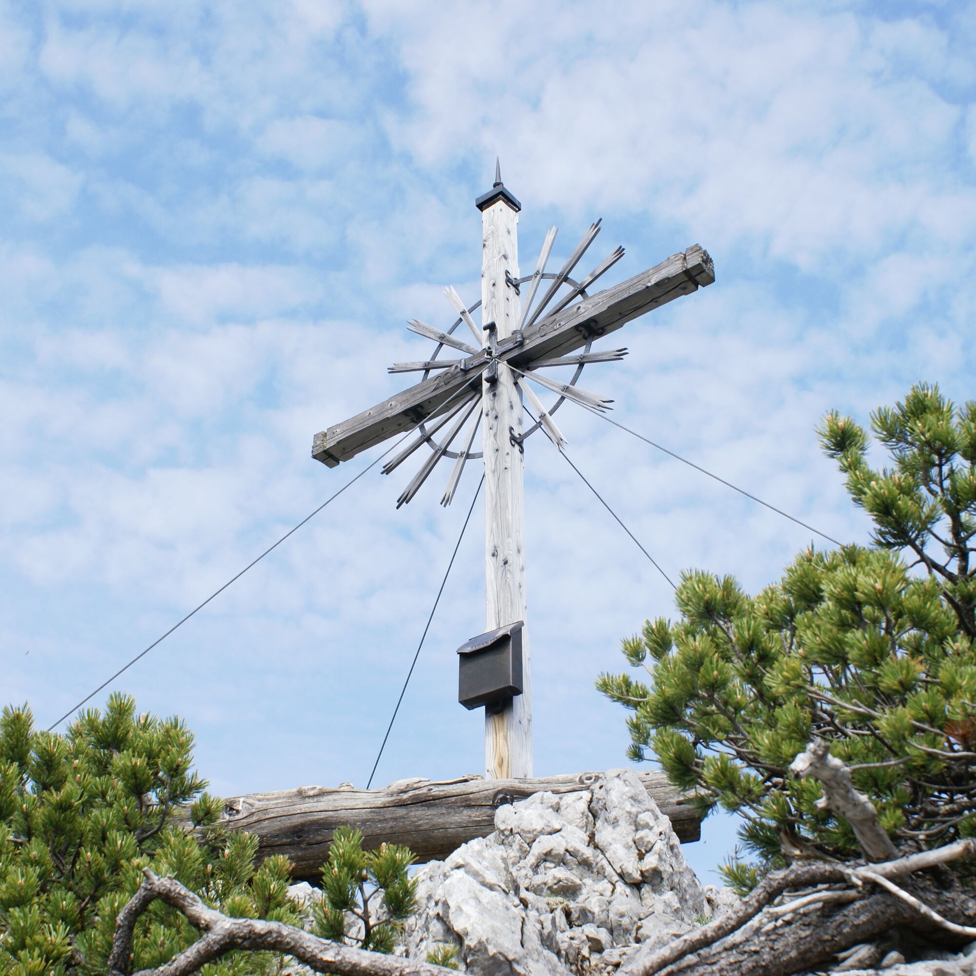
The next stage takes you first to the Latschenkopf - the easiest summit of the three-summit tour. Continue through Hintere Grüble and then - keeping to the left - to Spitzigschröfle (only for experienced and sure-footed hikers). The last summit of the tour is the Schönleitenschrofen, which offers a magnificent panoramic view.
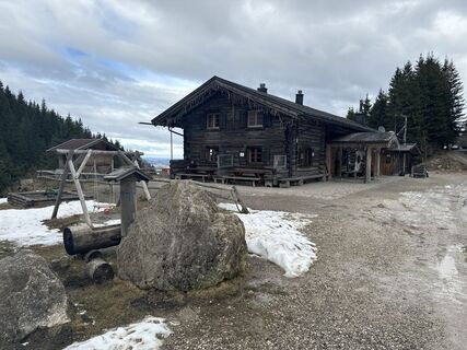
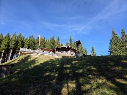
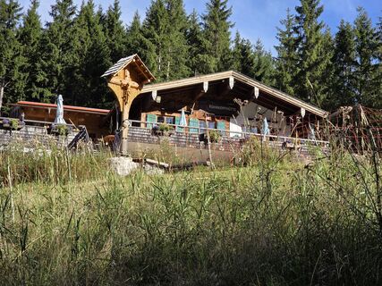
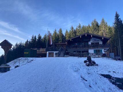
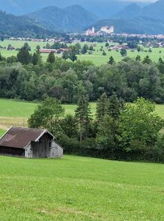
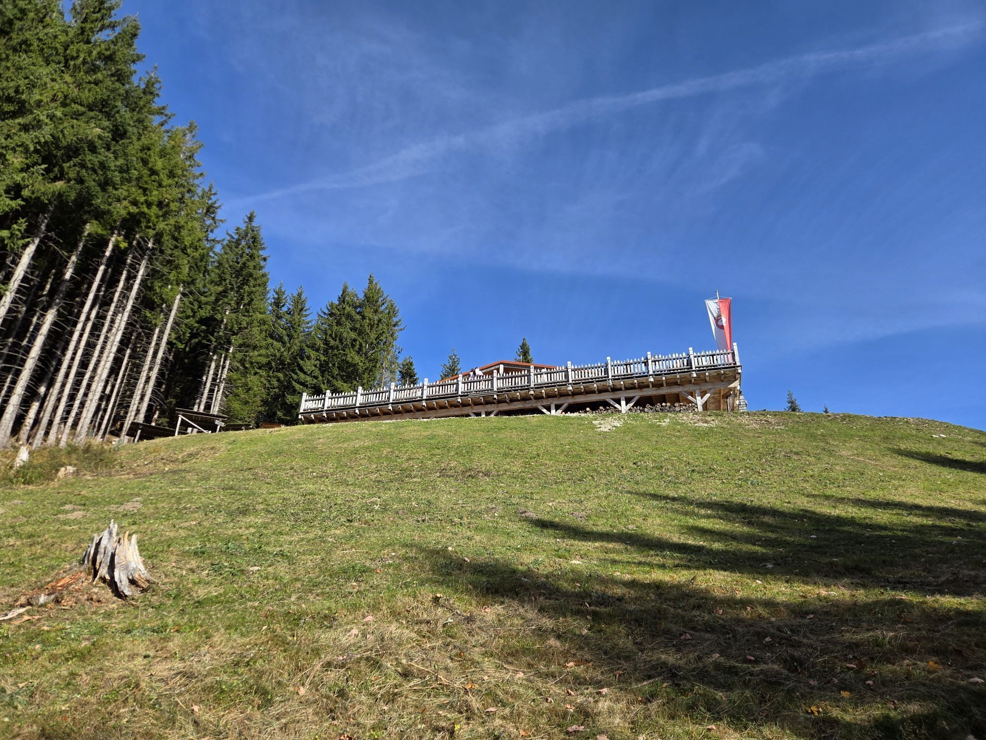
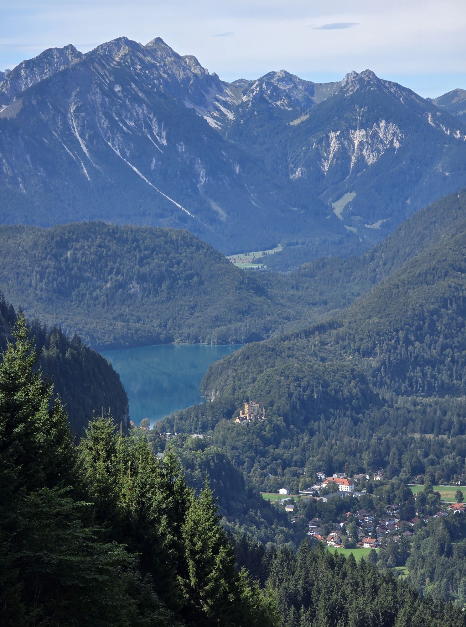
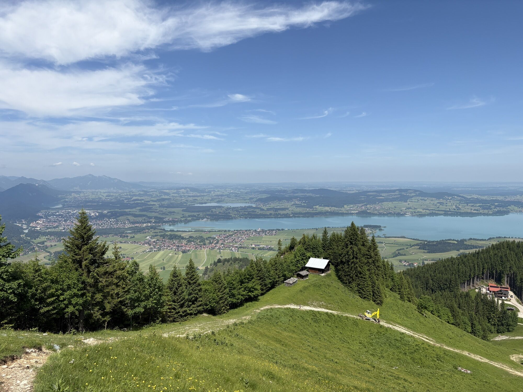
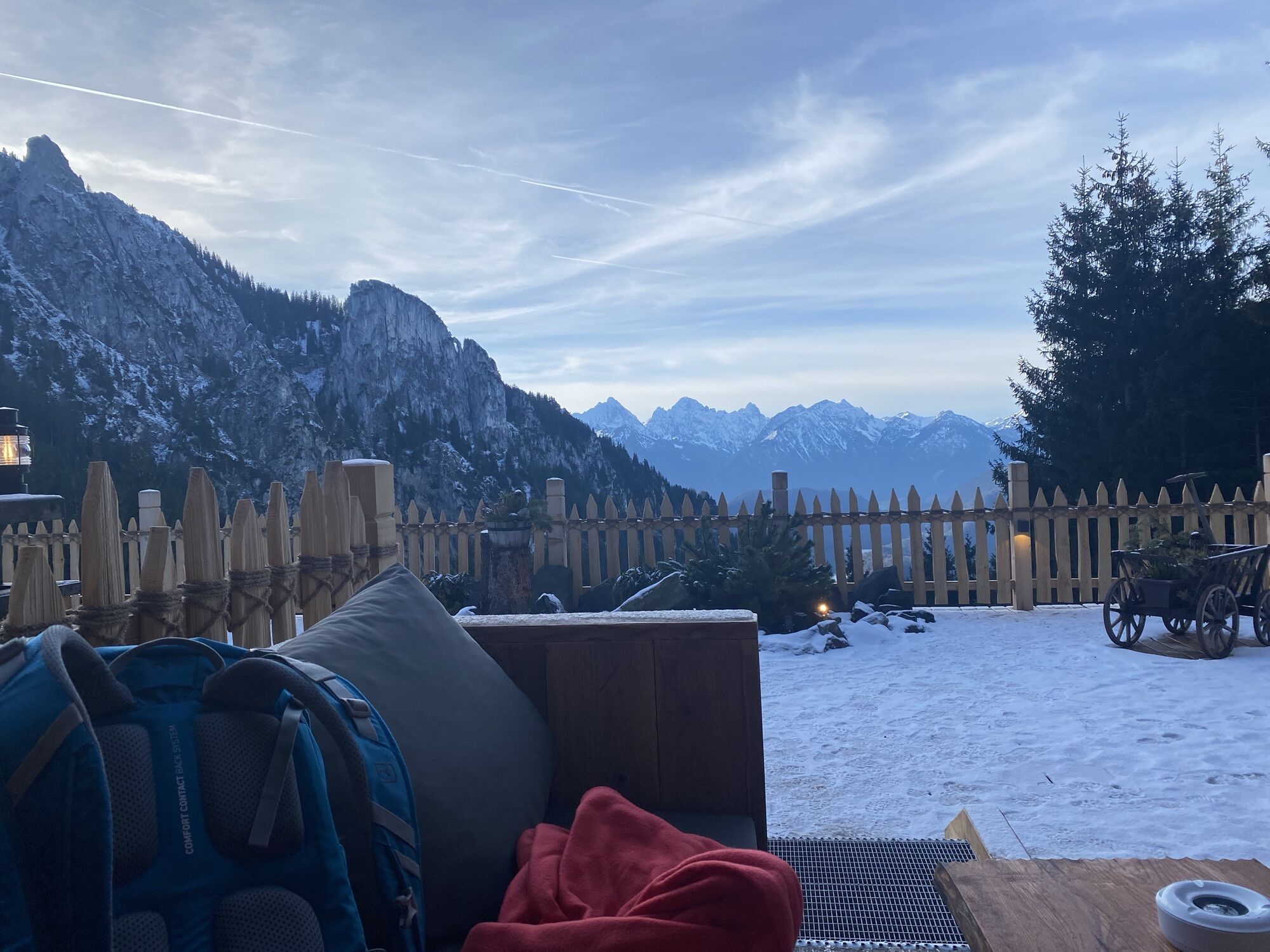
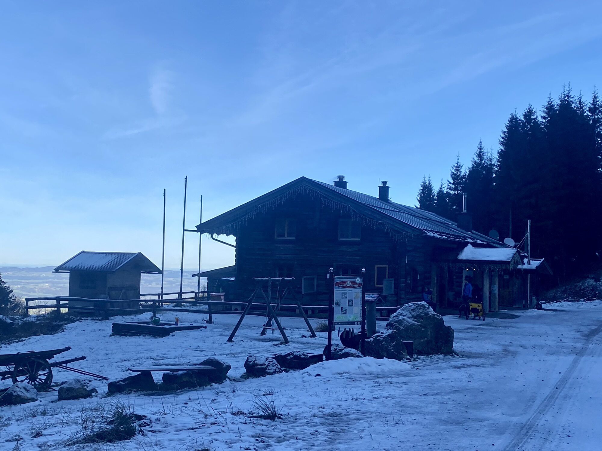
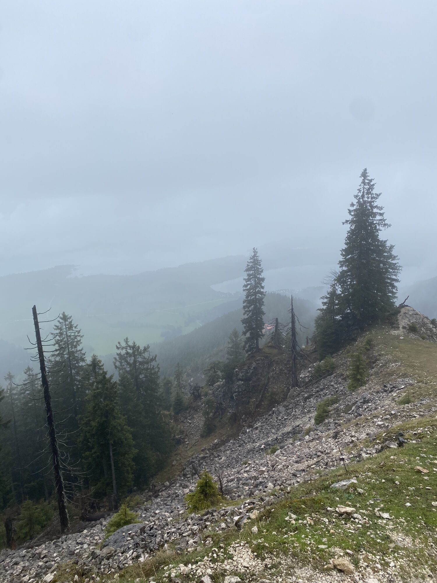
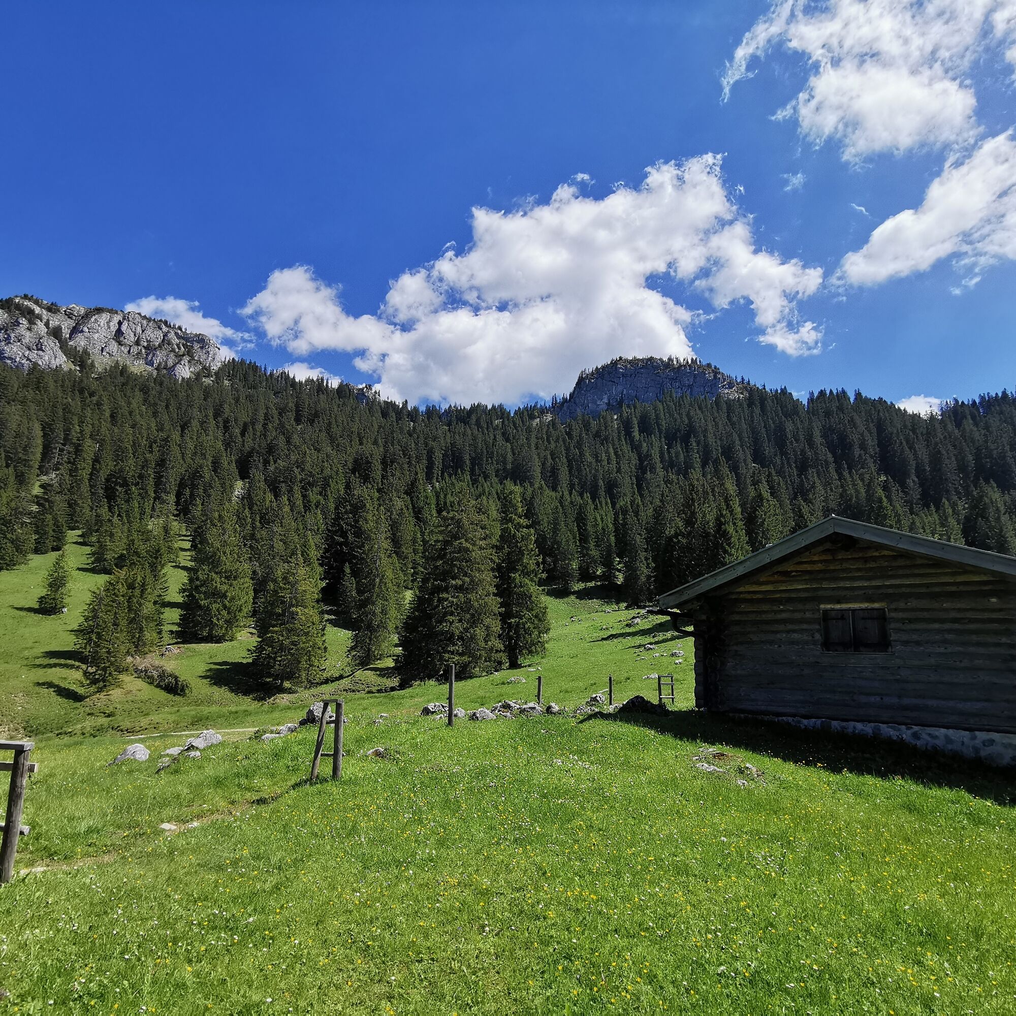
After the descent, follow the path towards Vorderes Mühlberger Älpele. Take a break on the small terrace of the hut and enjoy the beautiful view. Alternatively, you can save the stop for the nearby Drehhütte - its sunny terrace also offers a wonderful panorama.
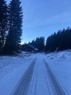
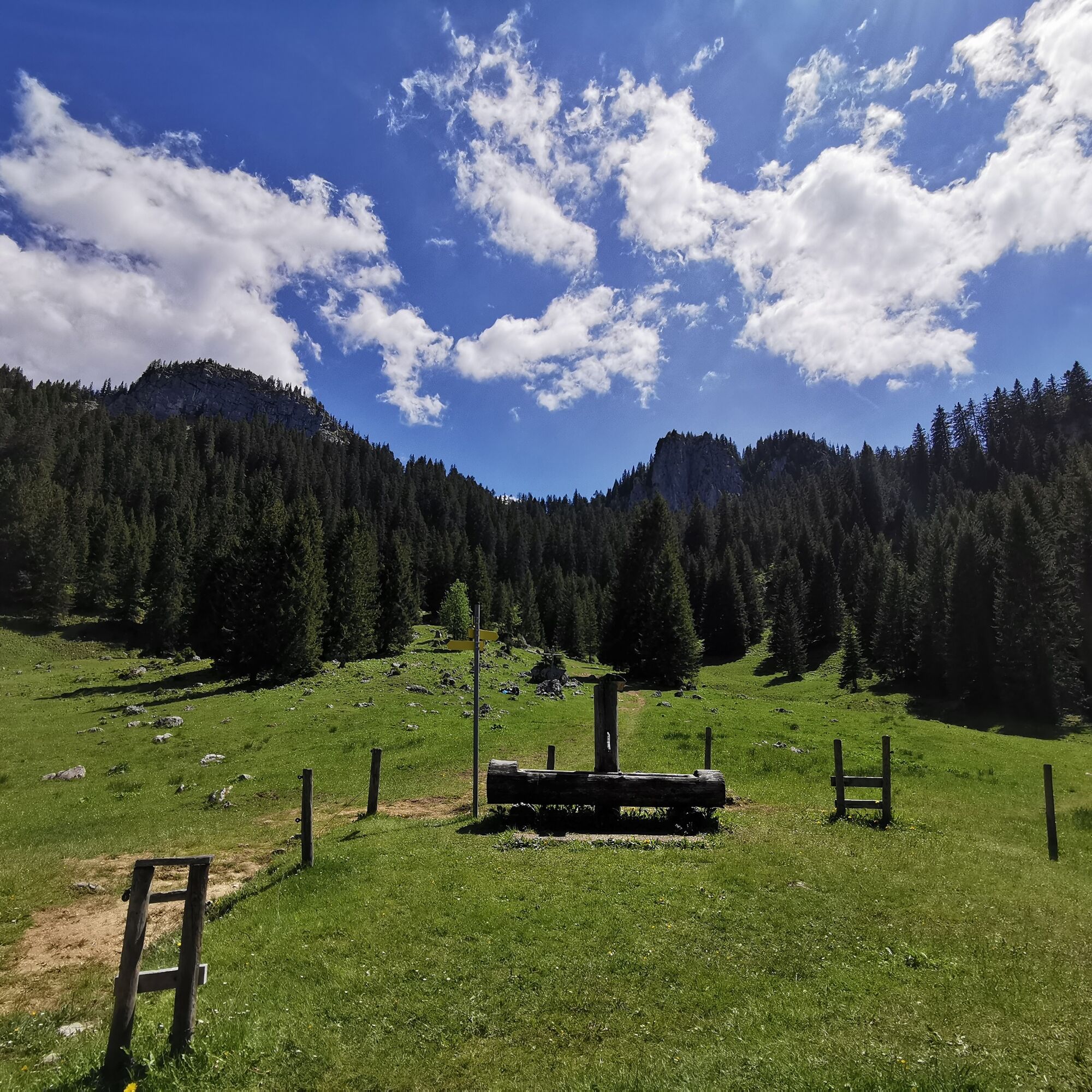
The way back is easy via the Drehhütte forest road back to the Tegelbergbahn valley station.
Tip: If you want to shorten the ascent, take the cable car up the Tegelberg and hike about 150 meters down to the Rohrkopfhütte. From there, continue right at the Grüble to the Latschenkopf and onto the three-summit tour.
Igen
Igen
Igen
We recommend: Clothing suitable for the weather, hiking boots, poles, drinks, snacks and a first aid kit.
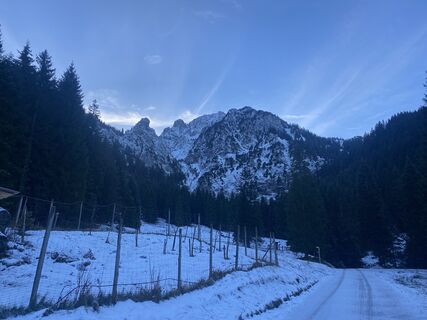
From the Mühlberger Älpele, the trail leads over the Pechkopf in a steeper descent down to the Drehhütte. Take particular care in wet conditions!
Coming from Schwangau in the direction of the Tegelberg valley station:
Tegelberg valley station - Tegelbergstraße 33 - 87645 Schwangau
By train: To Füssen station (from here continue by bus)
By bus: Bus stop Schwangau Tegelbergbahn (lines 73, 78, 9606, 9651)
Paid parking spaces at the Tegelberg valley station.
From June you can admire the alpine rose blossom in all its glory.
Népszerű túrák a környéken
-
4,5
Circular hike Dreh- and Rohrkopfhütte
könnyűKirándulás 8,76 km -
4,8
Around Weißensee
könnyűKirándulás 6,12 km -
3,6
Rundwanderung Plansee
közepesKirándulás 9,80 km -
4,7
Yellow Wall Trail, Tegelberg (A)
közepesVia ferrata 3,65 km -
4,5
Traumhafte Panorama Plansee-Umrundung
könnyűKirándulás 13,8 km -
4,6
Tegelbergsteig: Via ferrata, Schwangau (B/C)
nehézVia ferrata 3,54 km -
4,7
Hochplatte
közepesKirándulás 10,4 km -
4,2
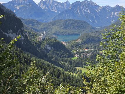
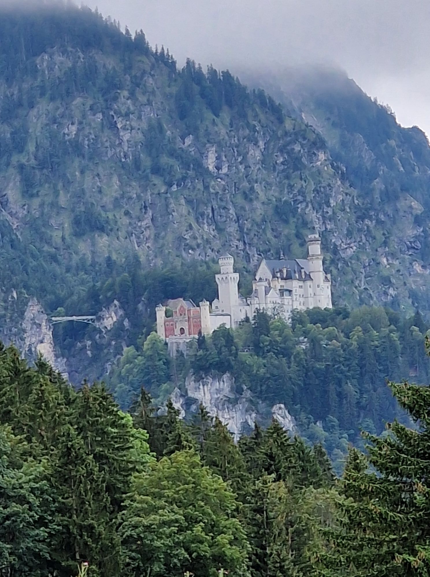
Schloß Neuschwanstein und Schwanensee Schwangau, Bayern
közepesKirándulás 9 km -
4,9
Tegelberg | Branderschrofen | Neuschwanstein
közepesKirándulás 14,8 km -
4,6
Kulturpfad Schutzengelweg
közepesKirándulás 4,61 km

Túrázás & nyomkövetés


Ne maradjon le az ajánlatokról és az inspirációról a következő nyaralásához!
Az Ön e-mail címe hozzá lett adva a levelezőlistához.