


Green Route - The Vaivre Valley (B 2)
Nehézségi szint: T2


Beaubery, a small village in the southeast of the Charolais community of communes, has 384 inhabitants and covers 2200 hectares. With its 5 different routes, Beaubery will reveal its rolling terrain featuring...
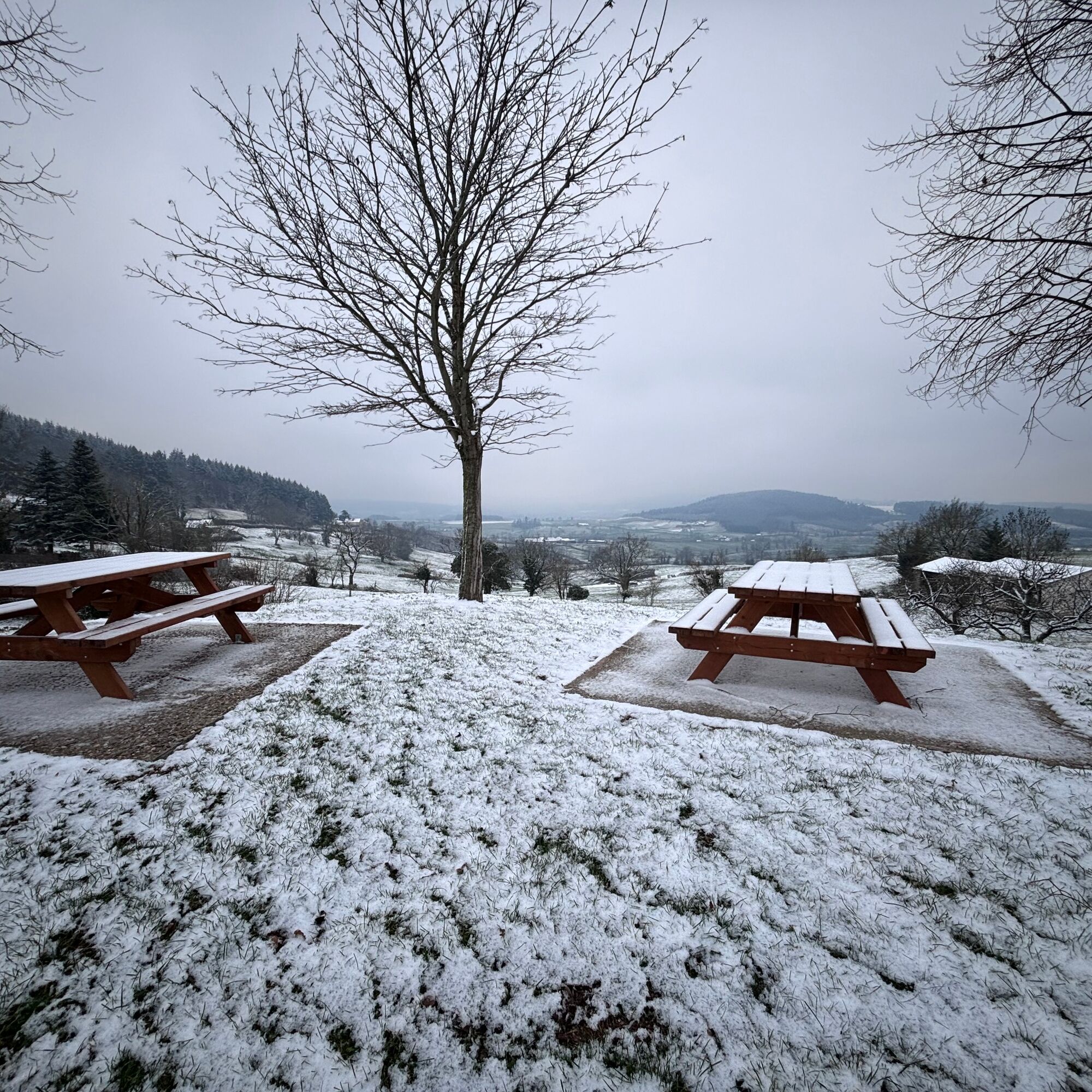
Beaubery, a small village in the southeast of the Charolais community of communes, has 384 inhabitants and covers 2200 hectares. With its 5 different routes, Beaubery will reveal its rolling terrain featuring five wooded hills and several streams and ponds. You can also discover the highest point of the commune, Mont Botey, at 561 m. The Cornes d’Artus, with the ruins of a 12th-century castle, perch atop the hill.


In case of emergency, dial 112
Consider carpooling
Scegliete il treno per i vostri viaggi
Parking near the starting point
T2
DIGOIN │ Le Grand Charolais Tourist Office │ Cat.III http://www.legrandcharolais.fr
Népszerű túrák a környéken
-
CycloRoute71 - Etape 11 de La Clayette à Cluny
közepesBiciklizés 56,8 km -
The rhododendrons route
könnyűLovaglás 7,18 km -
Circuit des digitales
közepesKirándulás 13,9 km -
Sentier botanique
könnyűLovaglás 5,12 km -
Flore et Faune en Bord de Lac
közepesKirándulás 3,30 km -
Chemin du bocage et des fours à chaux (Vendenesse)
könnyűLovaglás 7,39 km -
Sentier thématique - Chemin du bocage et des fours à chaux
könnyűLovaglás 7,39 km -
Bocage route
közepesKirándulás 12,0 km -
M3 Mountain Bike Tour from Aigueperse to Matour
könnyűMountainbike 13,9 km -
Paray-le-Monial : circuit n°9 - Campagne charolaise jusqu'à la maison natale de Marguerite Marie
közepesBiciklizés 70,5 km

Túrázás & nyomkövetés


Ne maradjon le az ajánlatokról és az inspirációról a következő nyaralásához!
Az Ön e-mail címe hozzá lett adva a levelezőlistához.