


(E 12 - GR 92) Colera - Portbou


Itinerary with dry stone walls and protected natural areas

From Colera town hall, turn left and climb the stairs to the end of rue de l'Eglise, turn right and continue to N-260.
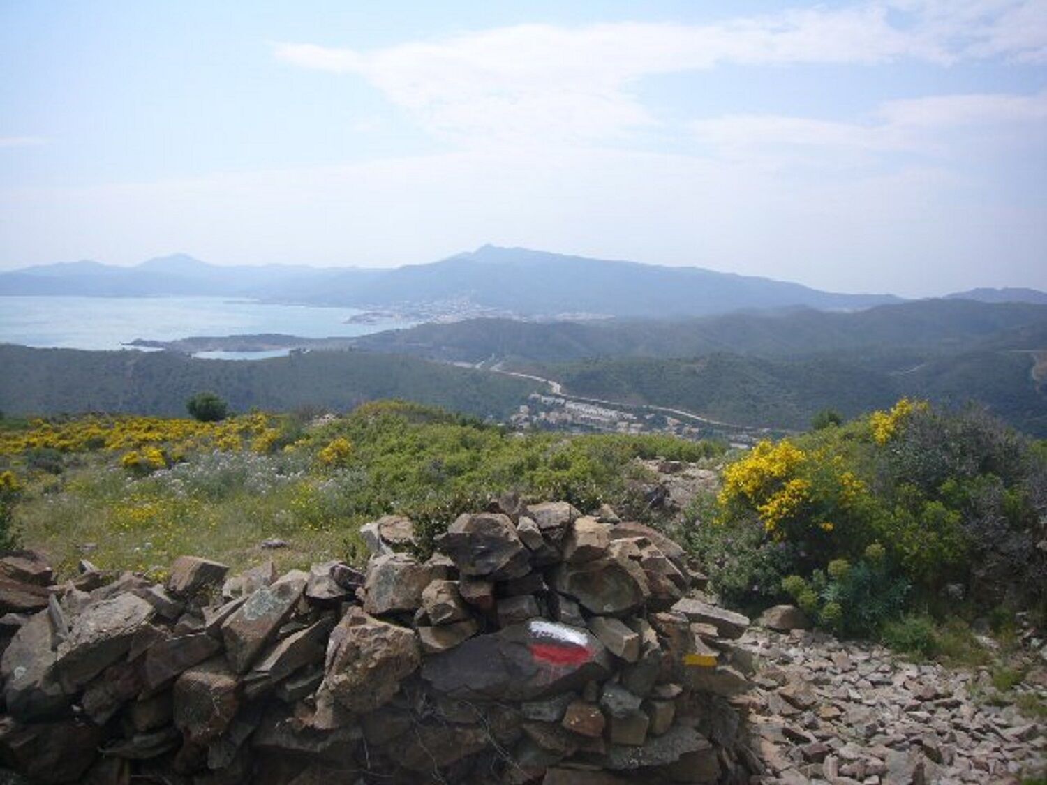
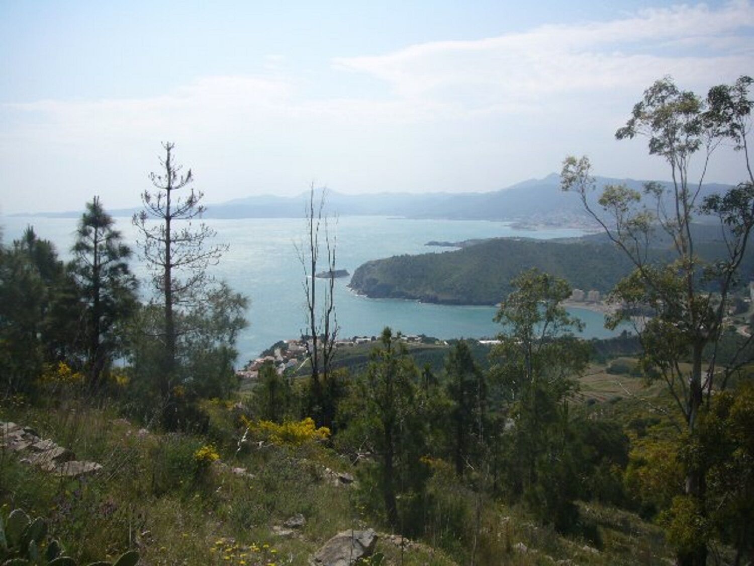
Cross the N-260 and go up to the side of the water tank where the GR-92 starts. Follow the path that leads to the ridge from where you can admire a magnificent view of Colera Bay and all of its beaches. In front of Puig Falcó, follow the path on the right to Coll del Frare which overlooks Colera and Portbou. Go down the road following the ridge until you find the road. Then continue for about 400 m along the road leading to Tonicus. Continue along the path to the town of Portbou. Go down the stairs and continue along rue Alcalde Miquel Cabré to the Tourist Office.
Access by train, R11 lines and N-260 road. www.sarfa.es www.renfe.com
It is recommended to park on the market or in the Passeig Marítim car park.
Excursion for everyone. There's a lot of wind. Hiking not recommended on busy days.
Népszerű túrák a környéken
-
(E12-Sentier Littoral-GR 92) Argelès-sur-mer -Rosas
közepesKirándulás 47,9 km -
Hauts des Forts Trail (Long Version)
közepesTrailrunning 21,8 km -
Madeloc
közepesKirándulás 8,83 km -
GR10 Pyrenäenweg Etappe 55
közepeshosszú távú sétaútvonal 23,2 km -
[Stroll] "the balconies" of Cosprons
könnyűMountainbike 6,77 km -
Monestir de Sant Pere de Roses
közepesKirándulás 4,56 km -
"La Retirada" and the paths of exile
közepesKirándulás 5,26 km -
From Château de Valmy to Château Royal via the Madeloc Tower
nehézKirándulás 22,6 km -
Trail the tops of the forts (short version)
közepesTrailrunning 12,4 km -
(E 12-Coastal Path/guide 2022) Collioure Tourist Office - Port-Vendres Tourist Office
könnyűKirándulás 5,52 km
Túrázás & nyomkövetés


Ne maradjon le az ajánlatokról és az inspirációról a következő nyaralásához!
Az Ön e-mail címe hozzá lett adva a levelezőlistához.