


San Simeone Plateau from Bordano


Monte San Simeone stands imposing over the basin of Lake Cavazzo and the village of Bordano. Although the summit does not offer breathtaking views due to installed radio antennas and vegetation cover,...
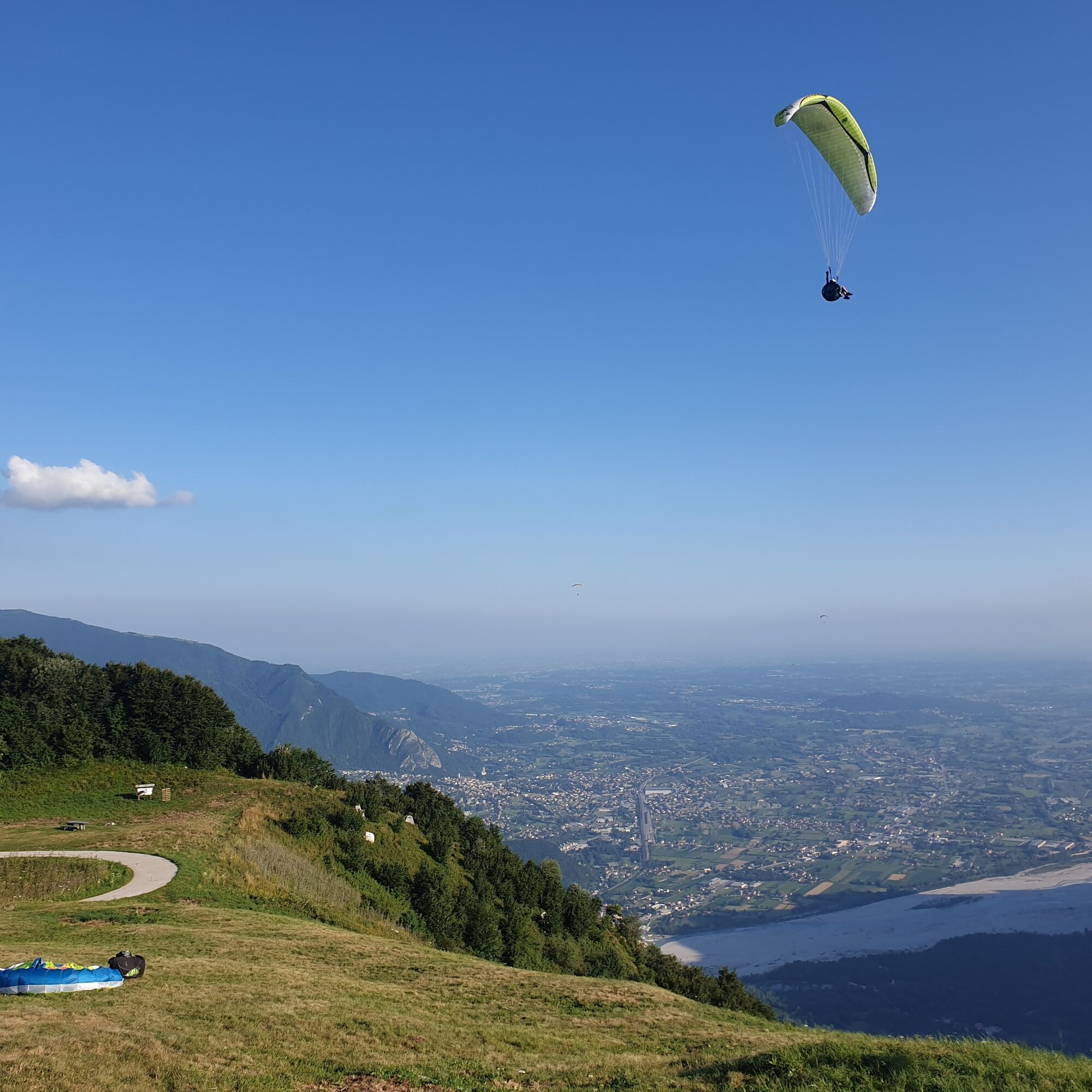
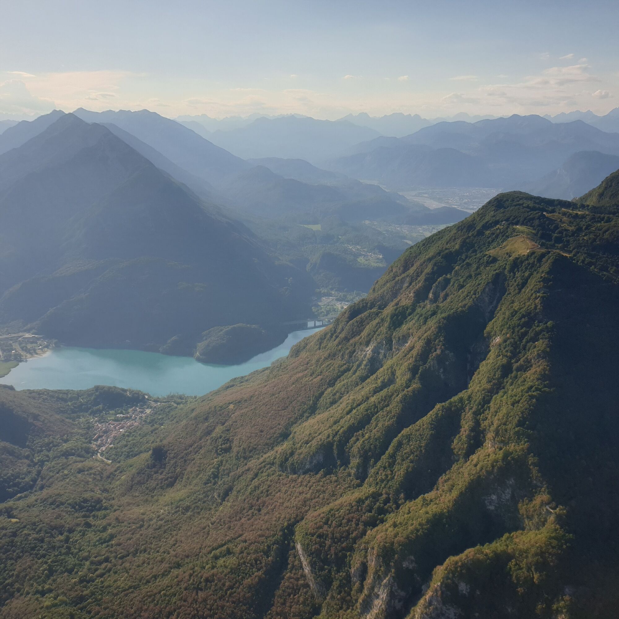
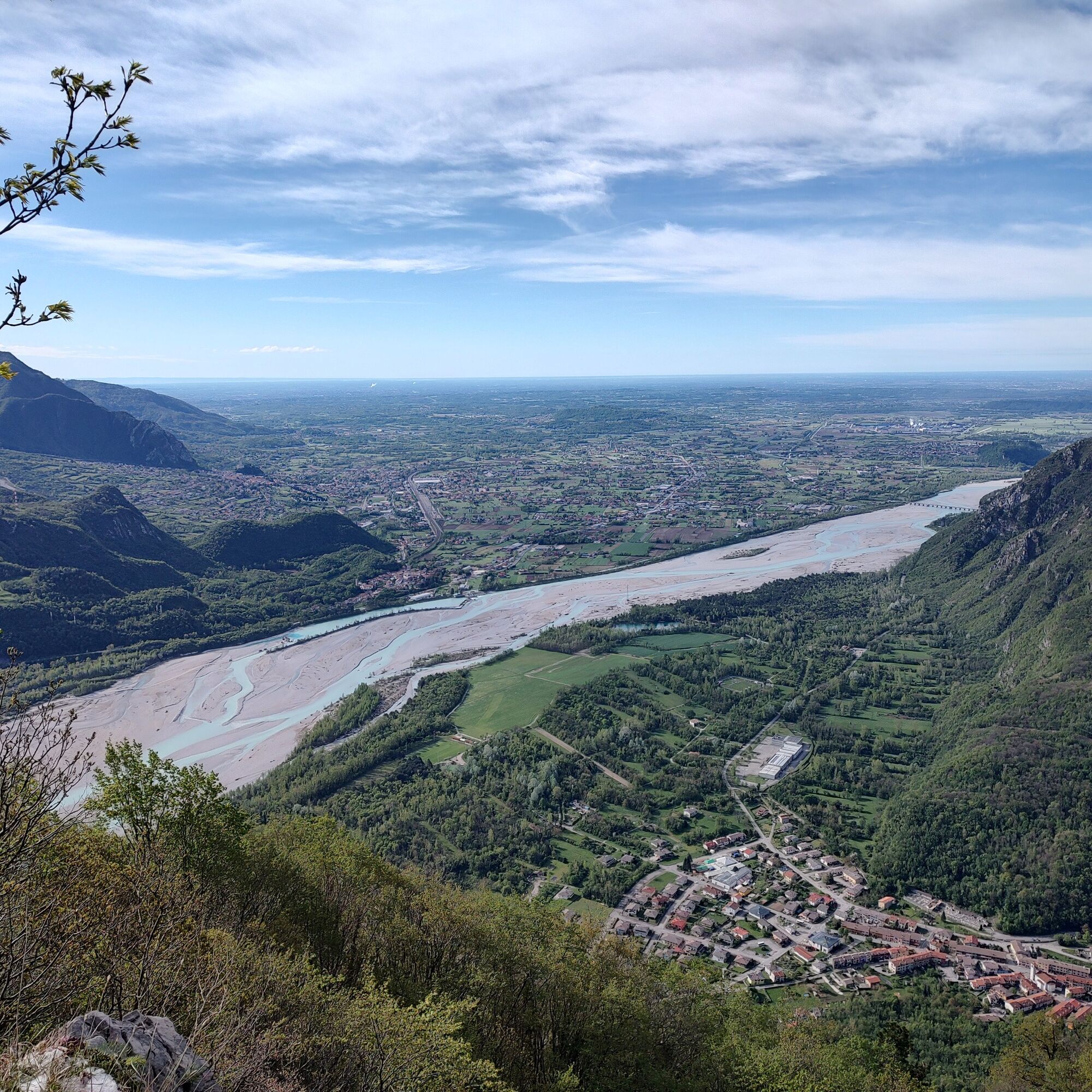
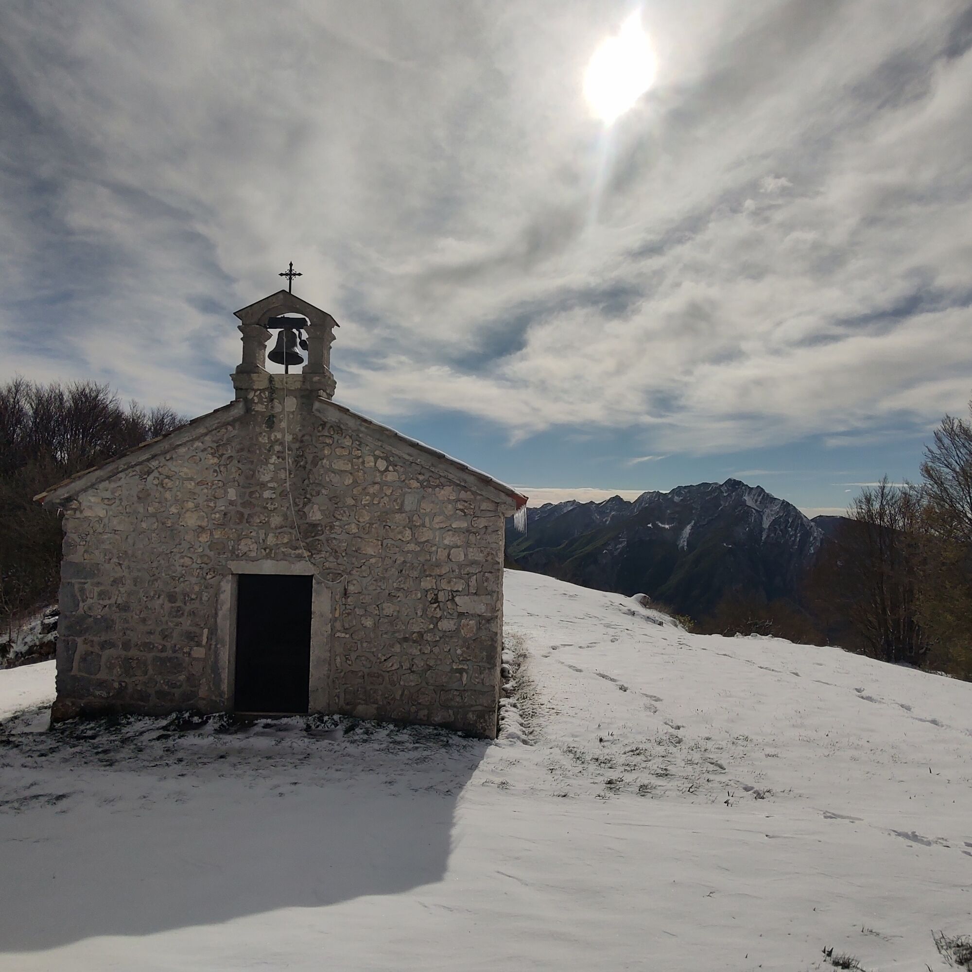
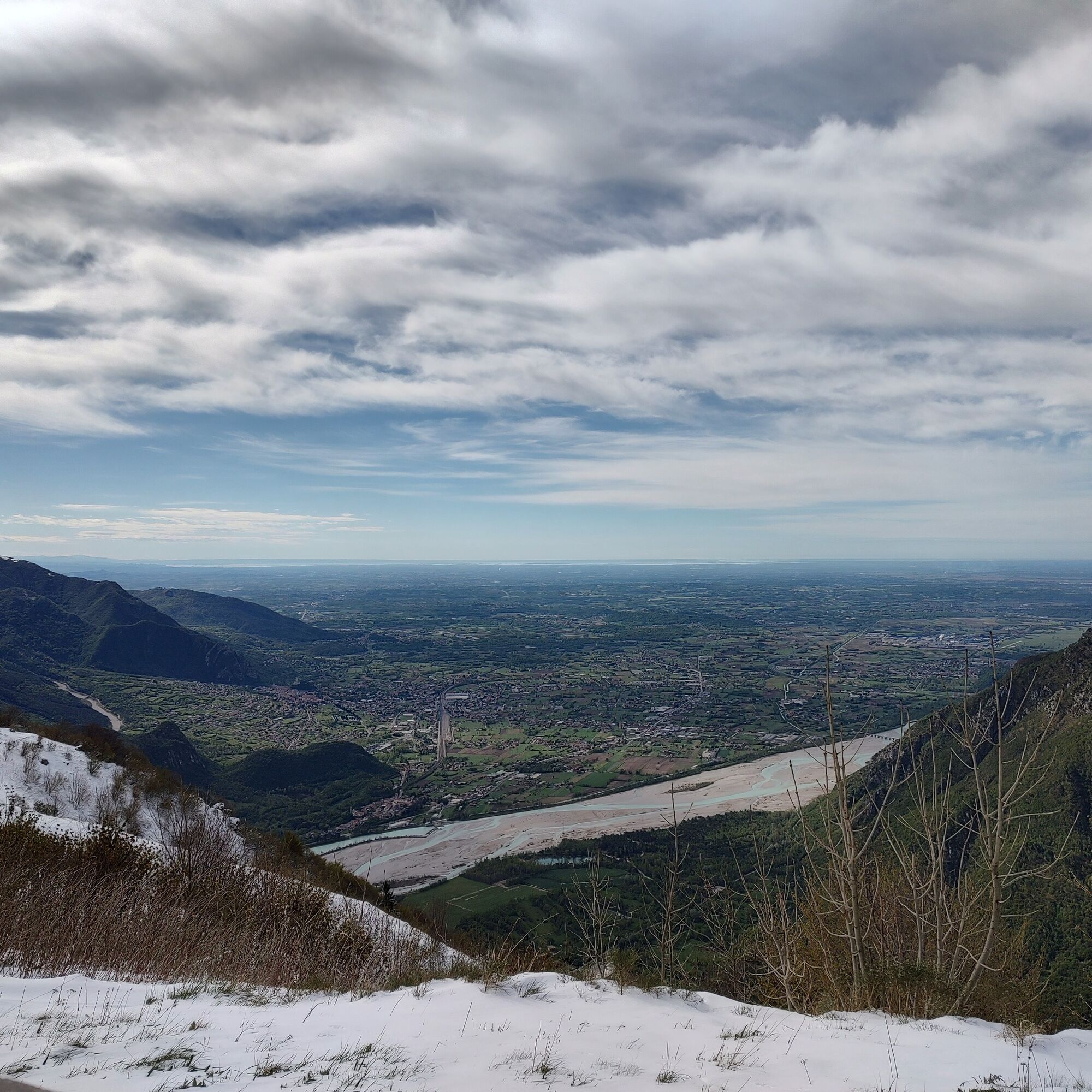
Monte San Simeone stands imposing over the basin of Lake Cavazzo and the village of Bordano. Although the summit does not offer breathtaking views due to installed radio antennas and vegetation cover, the mountain's plateau offers an extraordinary view. From this privileged point, eyes can wander among the pre-Alpine mountains, surrounding hills, and the Friulian plain, creating a natural terrace from which to admire the landscape. This location is especially appreciated by skydivers, who consider it one of the best places to practice flying in Friuli. From a naturalistic point of view, the terrain is characterized by Jurassic limestone rocks, witnesses to about 200 million years of geological history. The hiker can immerse themselves in woods rich with hornbeams, ashes, wild service trees, and hazels. Moreover, it is not uncommon to observe the majestic griffon vultures from the nearby Cornino lake soaring in the sky, enriching the experience with their majestic presence.

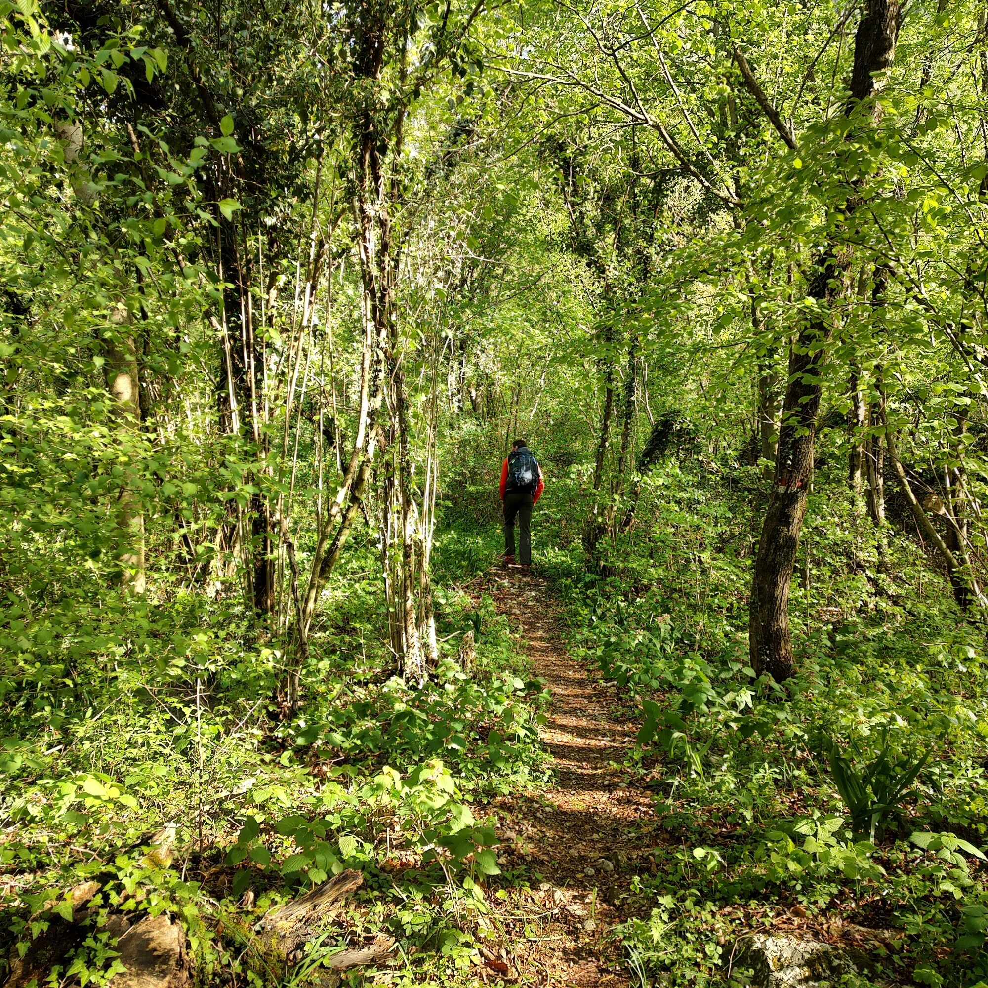
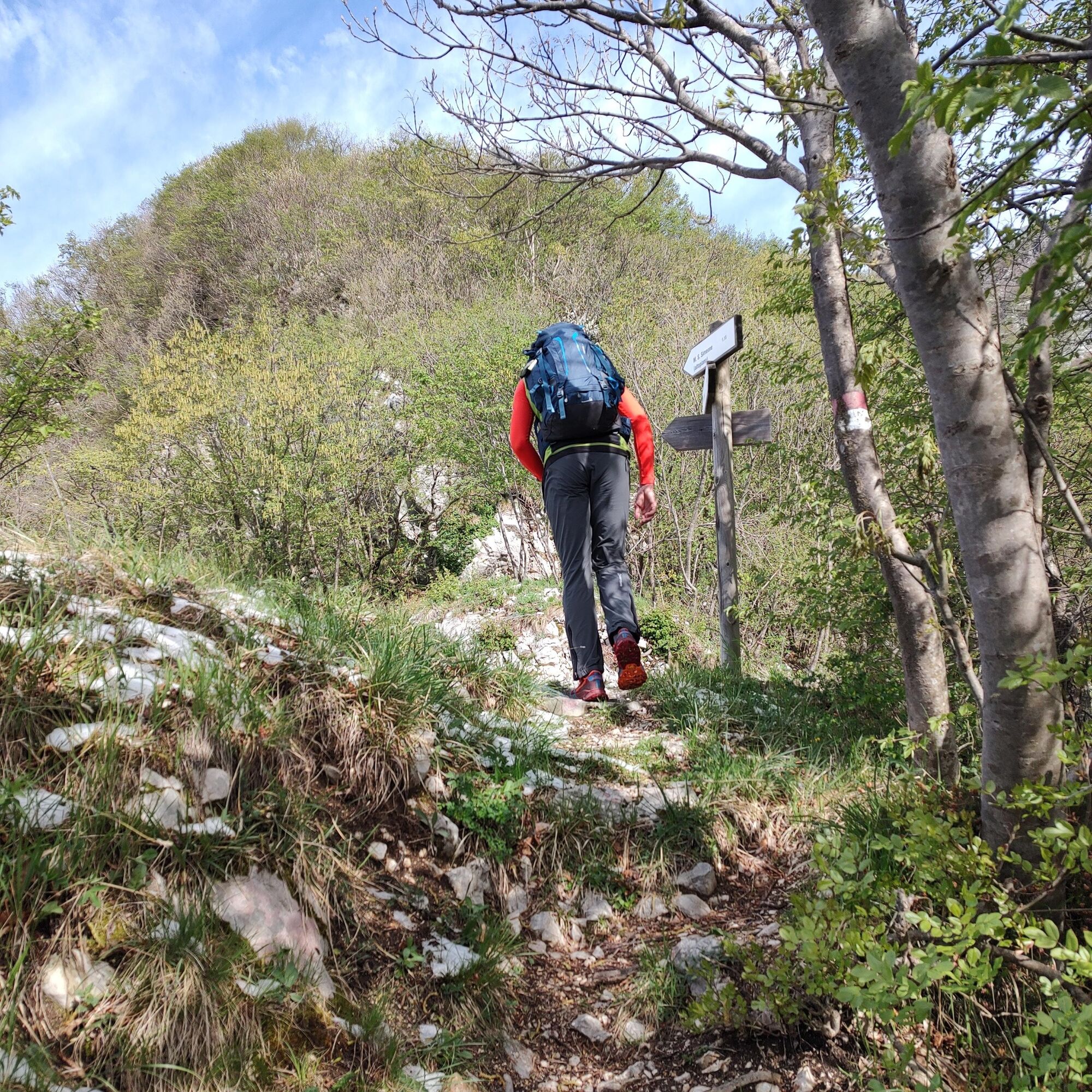
From the parking lot, take via Sella Grande and climb up to the signs for the mountain, joining a well-used path. Once you reach the road ascending from the Sella di Interneppo, continue uphill following the signs and shorten the route where possible by using the always visible path.
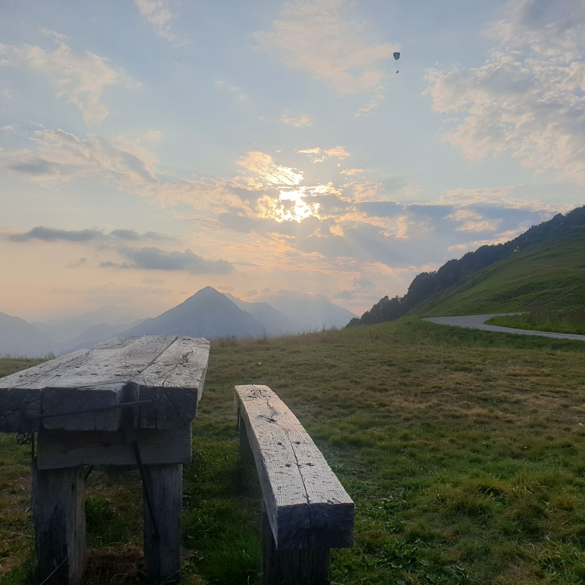
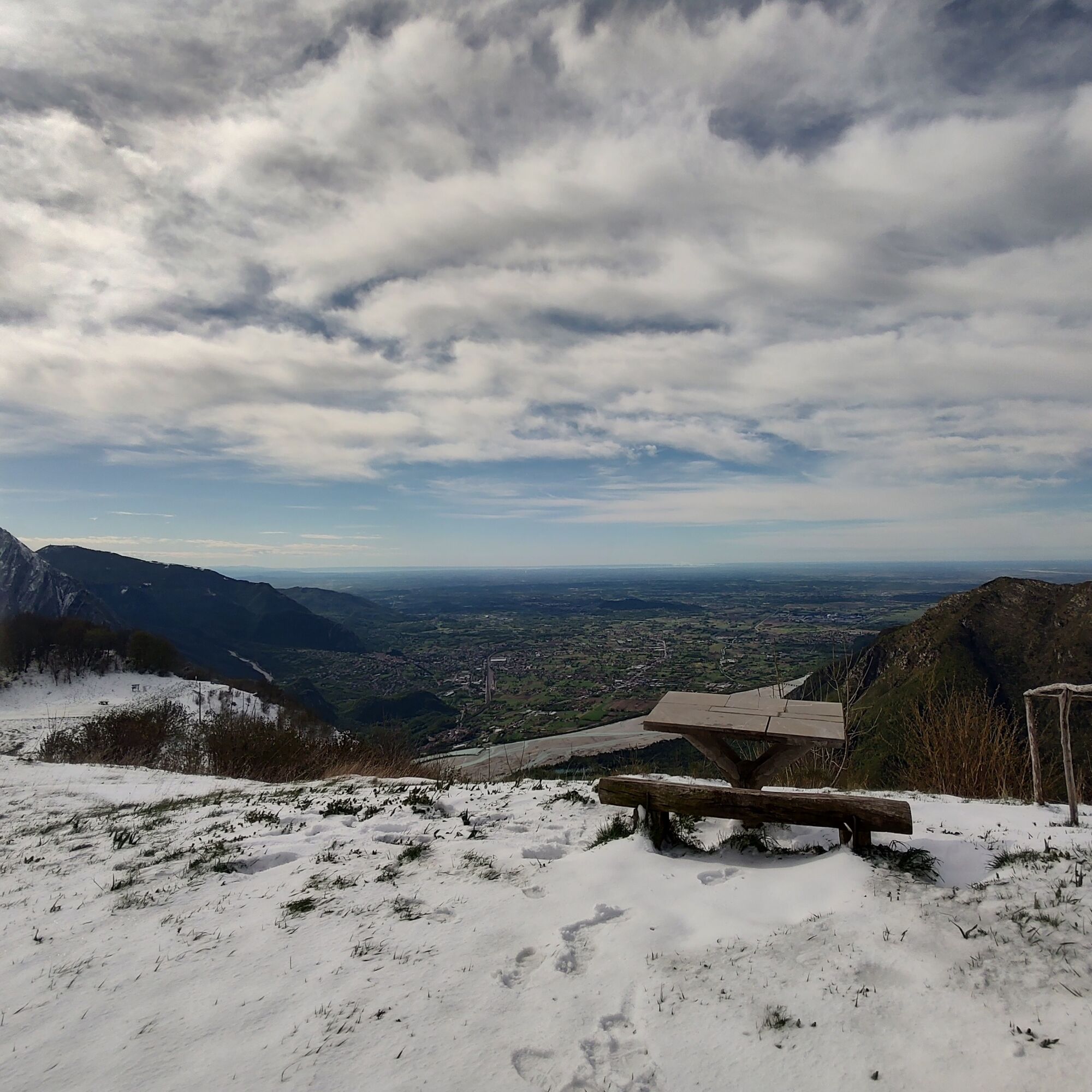
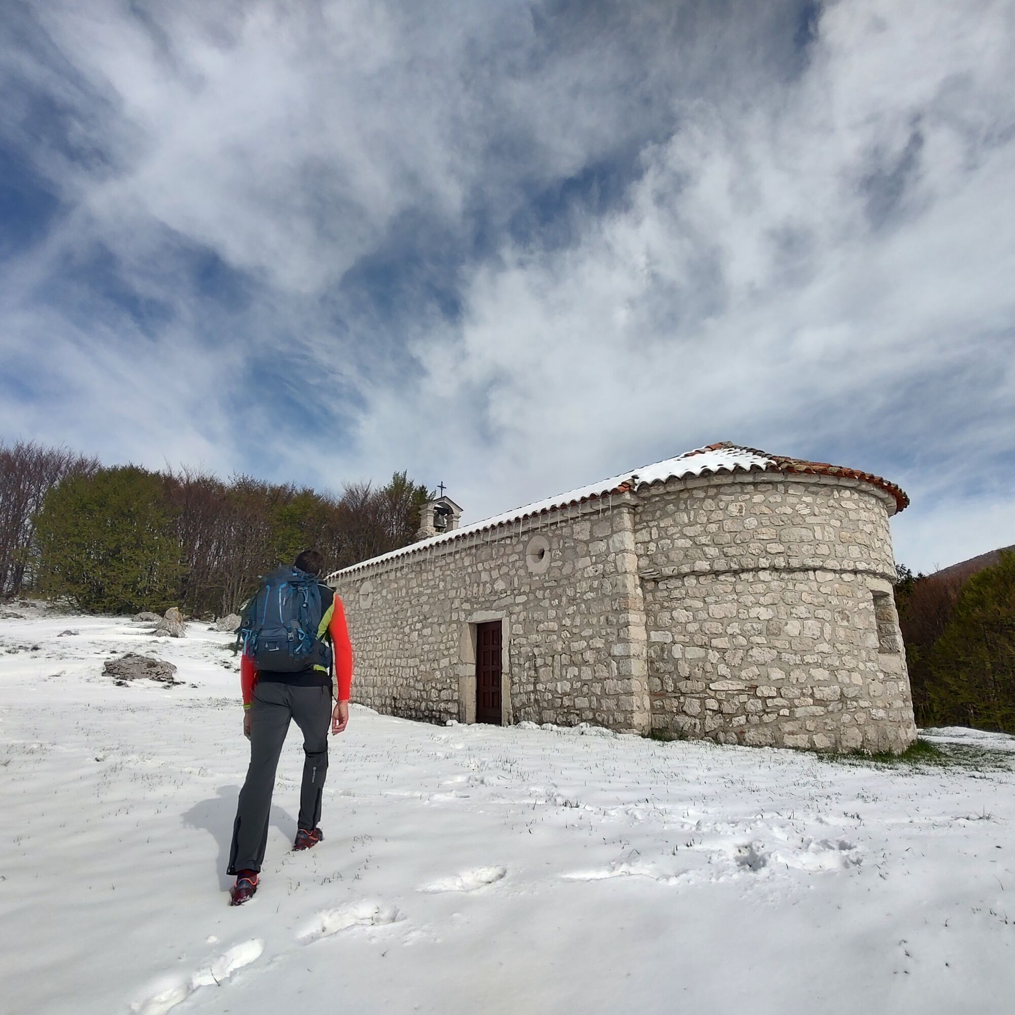
Upon reaching the panoramic plateau, continue along the road to reach the viewpoint with a bench and then the church of San Simeone, the highest point of the hike.
The descent follows the ascent route, choosing either the path or the road.
Igen
Igen
Igen
Igen
Normal hiking route, depending on the season.
Hiking is not recommended in the summer months due to the low altitude and high sun exposure.
Along the loop there are no water sources; on particularly hot days, consider carrying an adequate amount of water.
Coming up from Udine on state road no. 13 Pontebbana towards north, upon reaching the second traffic light in Gemona del Friuli, turn left. After crossing the bridge over the Tagliamento, follow the signs for Bordano on the right. The road passes through the village with its famous murals dedicated to butterflies.
The village of Bordano is easily reachable by local bus.
Convenient parking on Via Roma at the western end of the village.
It is possible to do the ascent by bicycle or with a stroller by going up along the road from the Sella di Interneppo and avoiding detours along the path.
If you want to shorten the route, you can start from the Sella di Interneppo, while if you want to increase the intensity of the hike, reach the summit of the mountain.
Népszerű túrák a környéken
-
4,5
Gemona
közepesMountainbike 20,6 km -
4,0
Monte Festa, a mountain rich in history
közepesKirándulás 13,5 km -
5,0
Loop of M. Amarianute, balcony over Tolmezzo
közepesKirándulás 7,22 km -
5,0
Monte Stella, between small villages and sweeping views
könnyűKirándulás 9,18 km -
4,5
Loop of Val Venzonassa
közepesKirándulás 9,74 km -
4,0
Mount Cuarnan
könnyűKirándulás 4,81 km -
4,7
Monte Cuar loop
közepesKirándulás 7,26 km -
Monte Cimadors Alto
könnyűKirándulás 8,09 km -
4,0
Butterfly Trail - long route
közepesKirándulás 7,93 km -
From Sella Chianzutan to Colle dei Larici, the route of red marble
közepesKirándulás 10,5 km

Túrázás & nyomkövetés


Ne maradjon le az ajánlatokról és az inspirációról a következő nyaralásához!
Az Ön e-mail címe hozzá lett adva a levelezőlistához.