


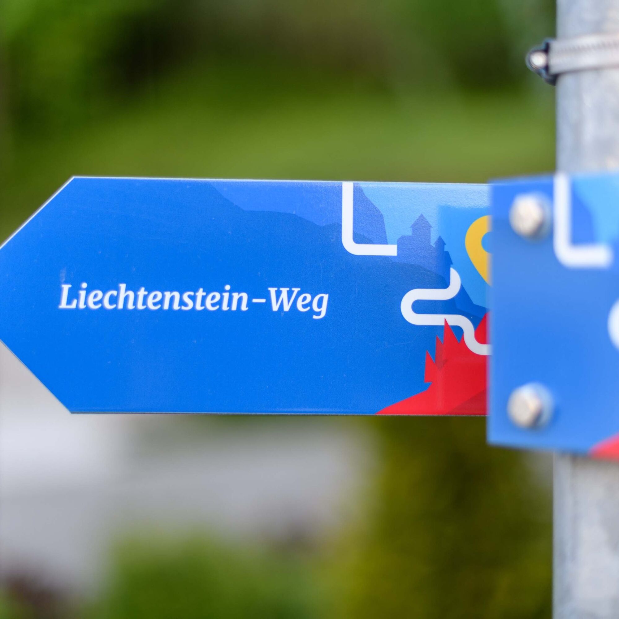
Liechtenstein Path: 3rd stage Vaduz-Nendeln
Nehézségi szint: T2


Fotók felhasználóinkról
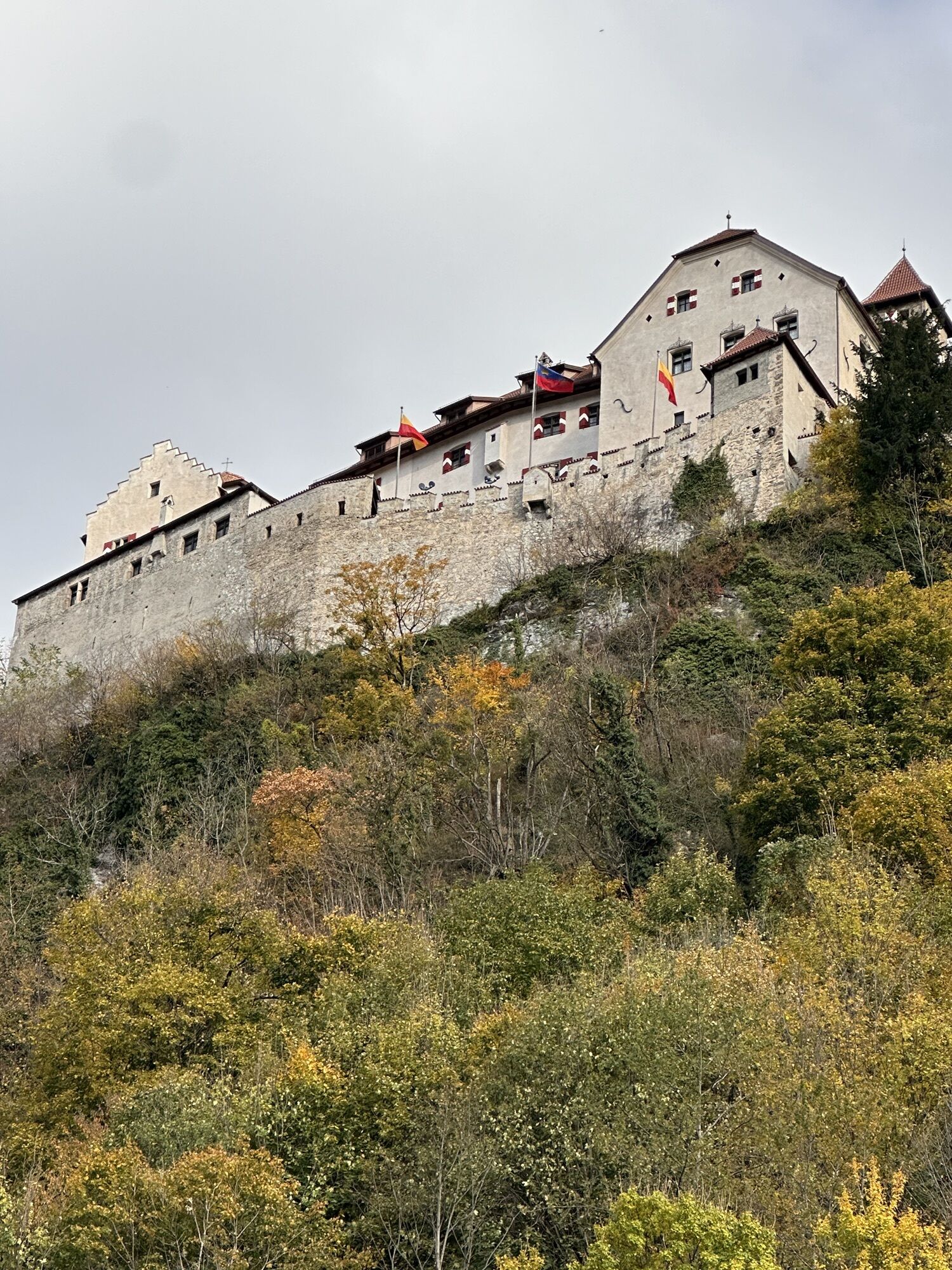
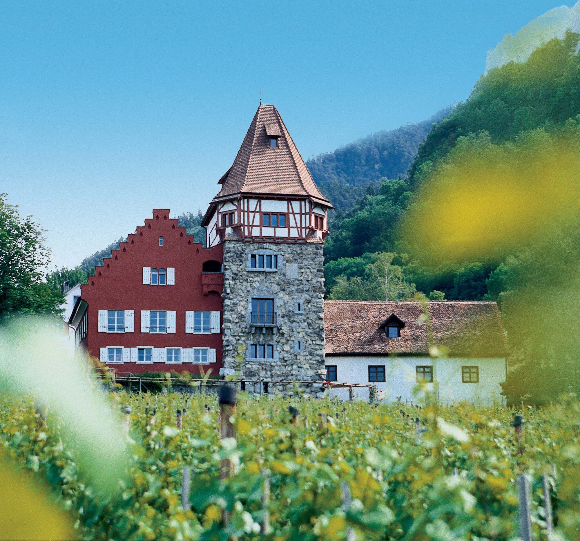
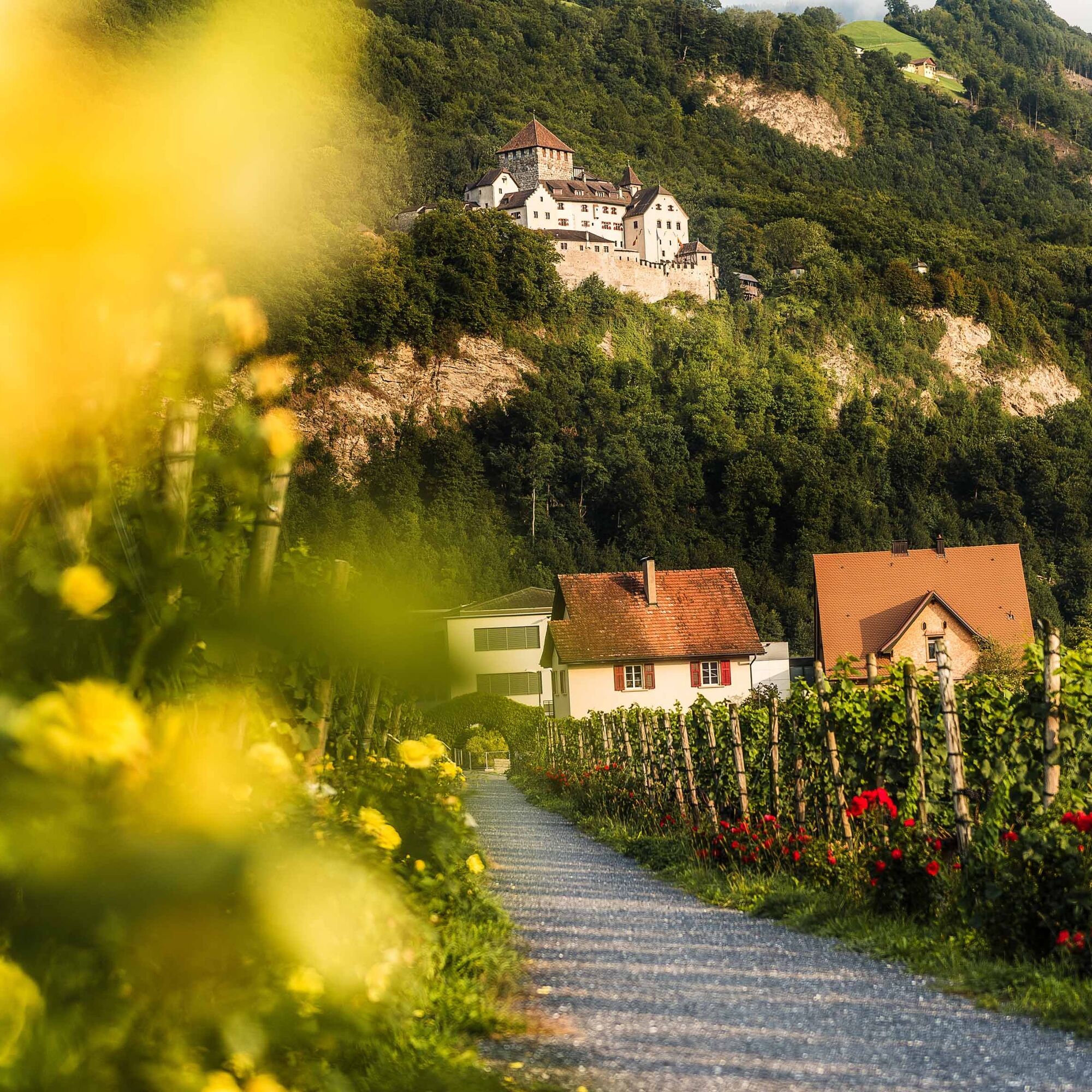
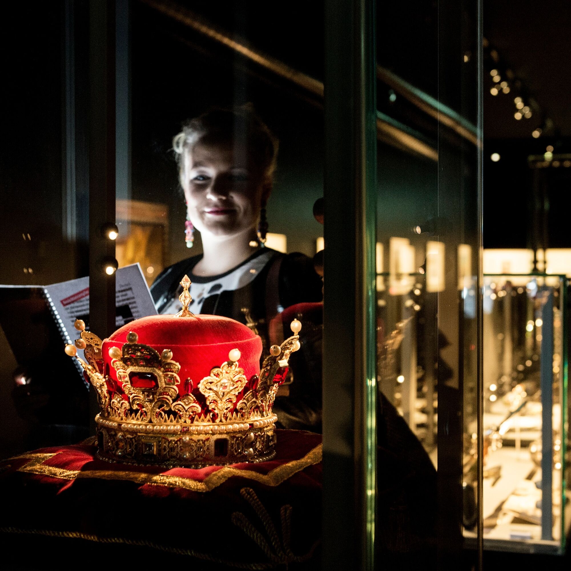
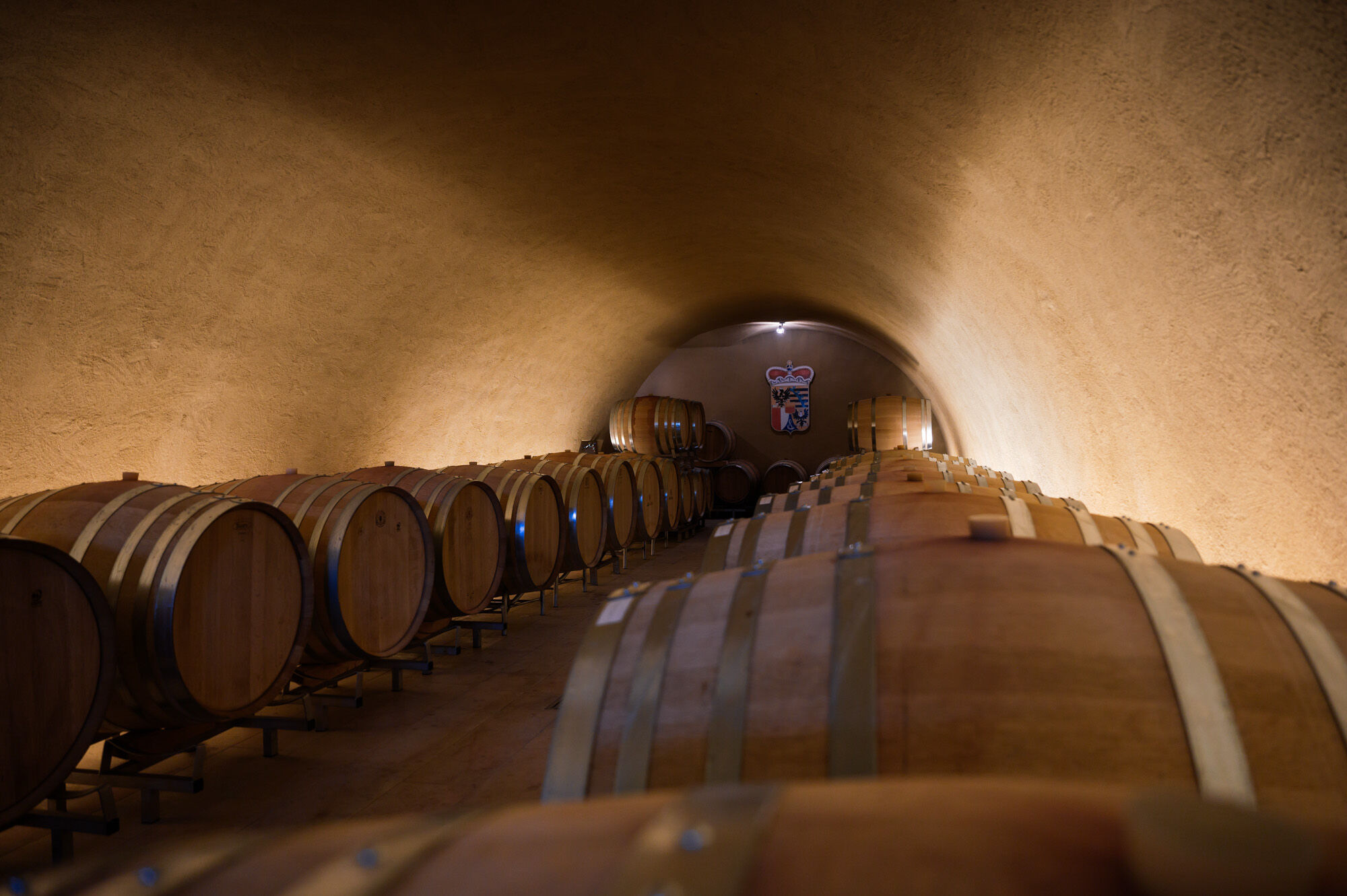
On the Liechtenstein Path, you steadily ascend in Vaduz alongside the winery of the Princely Court of Liechtenstein through Old Vaduz to the Red House. From there, you enjoy a wonderful view of Vaduz Castle....
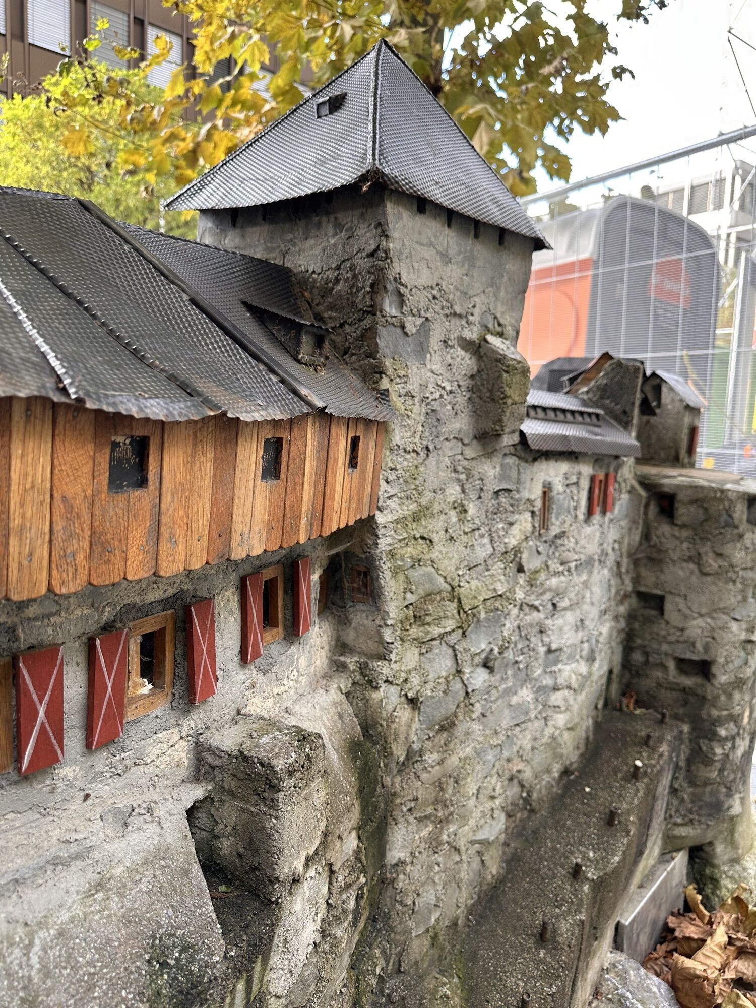
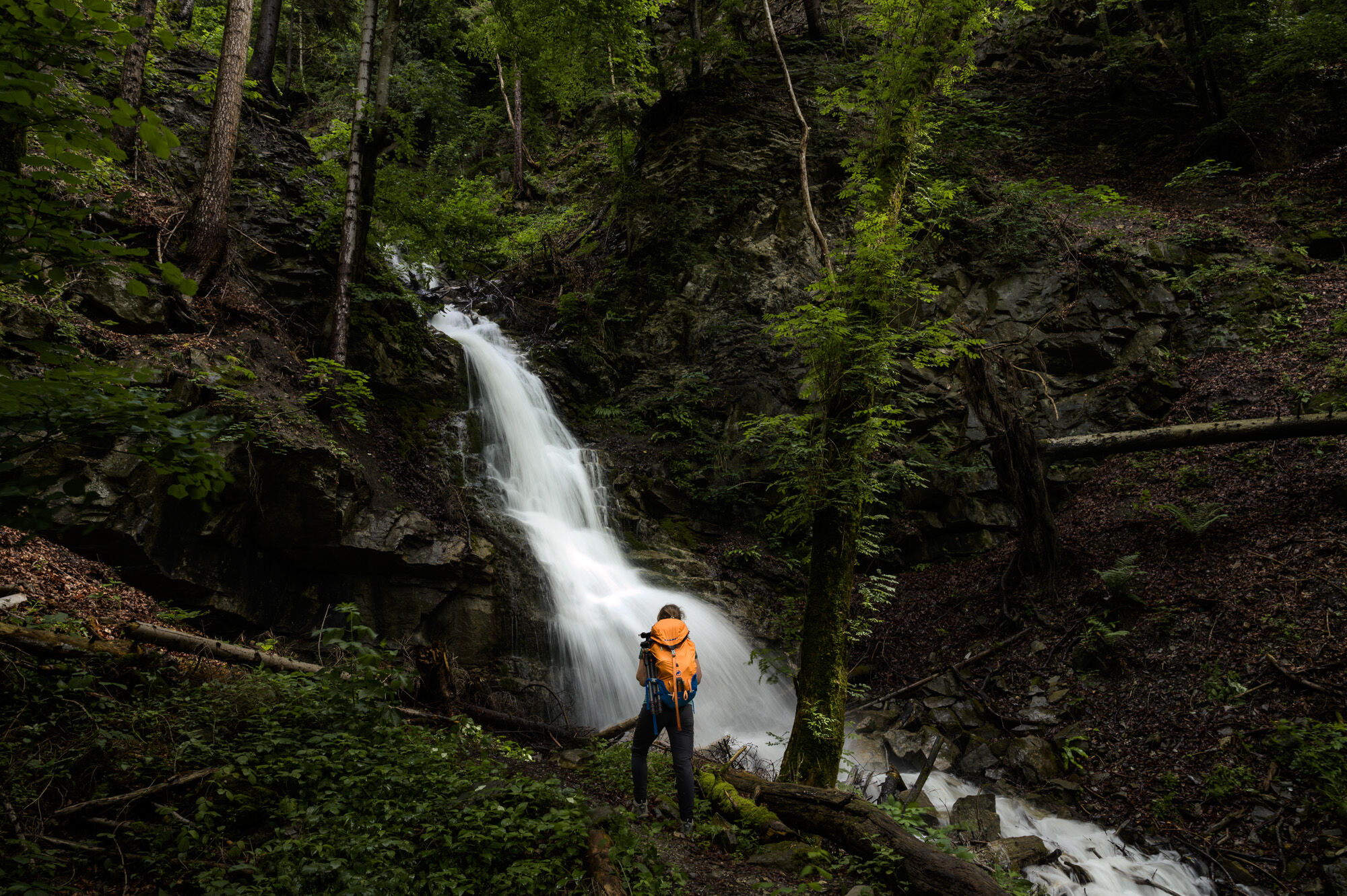
On the Liechtenstein Path, you steadily ascend in Vaduz alongside the winery of the Princely Court of Liechtenstein through Old Vaduz to the Red House. From there, you enjoy a wonderful view of Vaduz Castle. The path then continues through a forest trail to the University of Liechtenstein. Next, the path flattens and leads you to a debris flow (also called Rüfe) and then to the ruins of a Roman castle before reaching the village center of Schaan.
In Schaan, the trail rises to the “Tower at Dux”. From here, a beautiful forest path leads to Planken. From Liechtenstein’s smallest municipality, you enjoy a magnificent view of the valley and the Drei Schwestern mountain range above Planken. This is followed by a steep descent on a mountain hiking trail to Nendeln. Upon arrival in Nendeln, the path takes you past the remains of a Roman manor house directly into the center.

Igen
The section between Planken and Nendeln is a very steep mountain hiking trail about 1 km long with an elevation difference of 200 meters and requires good fitness, sturdy footwear, and sure-footedness. This section should not be walked in wet or snowy conditions. As an alternative, you can take bus no. 26 from Planken via Schaan to Nendeln (travel time 25 min.).
To undertake a route, careful planning is necessary. We recommend that you consult local information points in advance about the trails and weather conditions. Depending on the season and weather, this route may be closed or interrupted.
from St. Gallen via the A13 motorway (about 45 minutes)
from Zurich via the A3 to Sargans, then on the A13 (about 1 hour)
from Munich via the A96, in Austria onto the A14 (about 3 hours)
from Innsbruck via the A12, S16 and then A14 (about 2.5 hours)
International train connections provide comfortable travel to Liechtenstein. At the train stations Sargans, Buchs/SG, and Feldkirch, you simply transfer to the well-developed Liechtenstein bus network (LIEmobil) and conveniently reach your holiday destination.
Start point
Vaduz: Bus stop «Vaduz, Post»
End point
Nendeln: Bus stop «Nendeln, Clunia»
Timetables:
Swiss train timetable
Austrian train timetable
Liechtenstein bus timetable
T2
Accommodation offers:
6 days and 5 nights on the Liechtenstein Path
3 days and 2 nights on the Liechtenstein Path
Luggage transport service:
If you want to enjoy the Liechtenstein Path without burdening yourself with travel luggage, booking one of the accommodation offers includes the luggage transport service.
Discover the history of Liechtenstein in a new way with the free LIstory App
Népszerű túrák a környéken
-
4,5
Tour Brülisau - Saxerlücke - Hoherkasten⛰
nehézKirándulás 16,6 km -
4,9
Säntis-Gipfeltour, Wasserauen / Appenzell Innerrhoden
nehézKirándulás 21,1 km -
4,7
Wasserauen - Seealpsee - Wasserauen
közepesKirándulás 7,71 km -
5,0
Staubern-Runde (15.8.2021)
közepesKirándulás 8,65 km -
4,6
To the Alpspitz summit cross
könnyűKirándulás 6,27 km -
4,6
Fürstensteig / Drei Schwestern
közepesKirándulás 12,2 km -
4,5
Fürstin-Gina-Weg
közepesKirándulás 12,0 km -
4,8
Seealpsee
közepesKirándulás 12,3 km -
4,8
From Malbun to the Schönberg
közepesKirándulás 12,4 km -
5,0
Seealpsee Runde
közepesKirándulás 8,22 km

Túrázás & nyomkövetés


Ne maradjon le az ajánlatokról és az inspirációról a következő nyaralásához!
Az Ön e-mail címe hozzá lett adva a levelezőlistához.