


SOČA VALLEY I6: Kanal - Tolmin
Nehézségi szint: 3


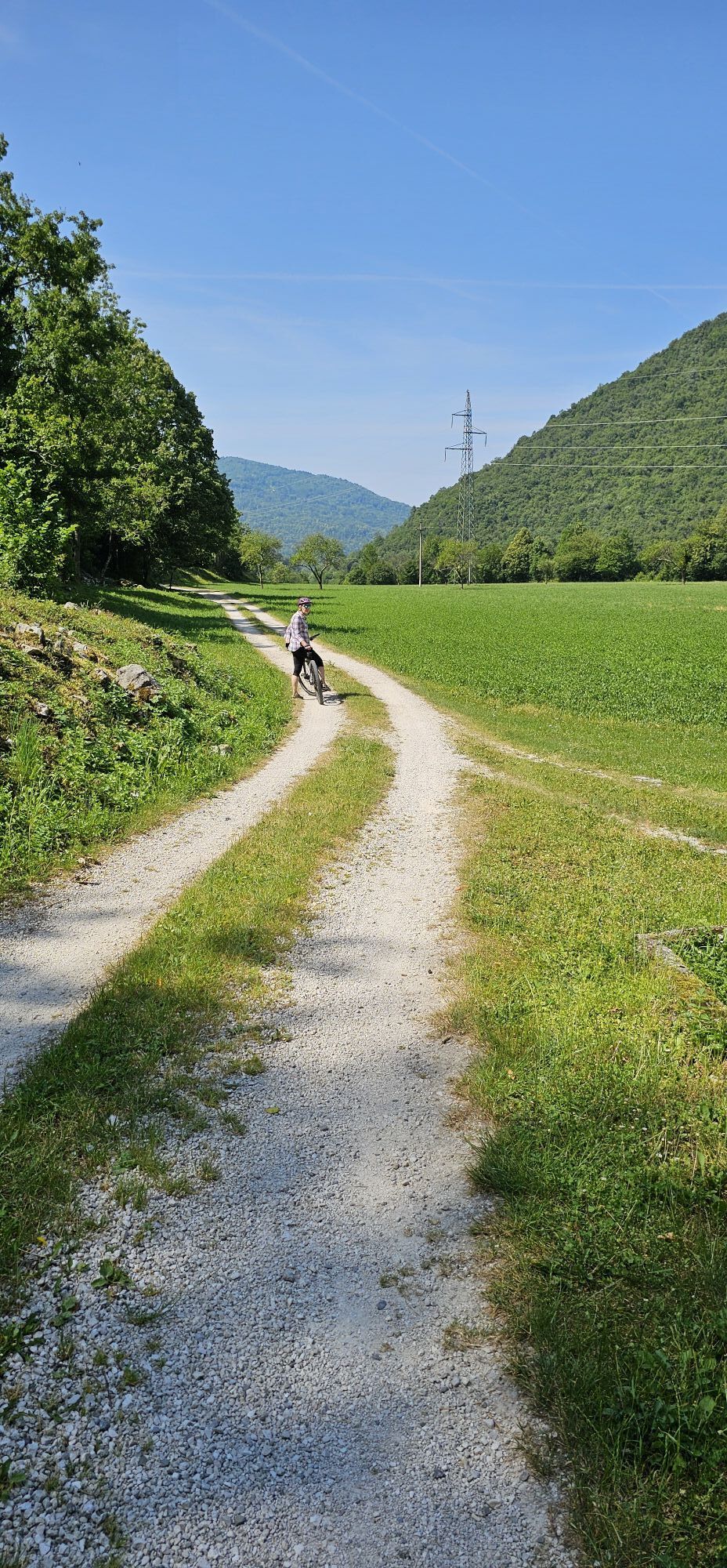
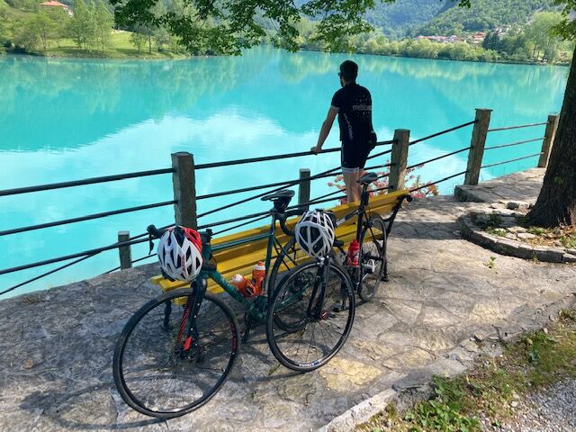
From Kanal ob Sočit high above the left banks of the river, along the hidden road, past Babja jama and to Most na Soči.
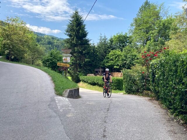

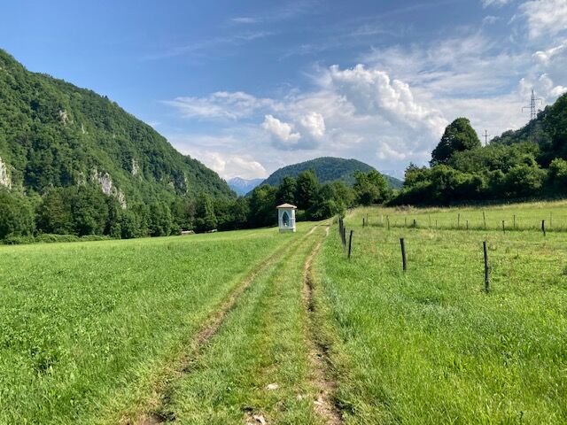
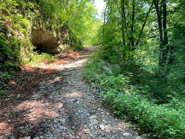
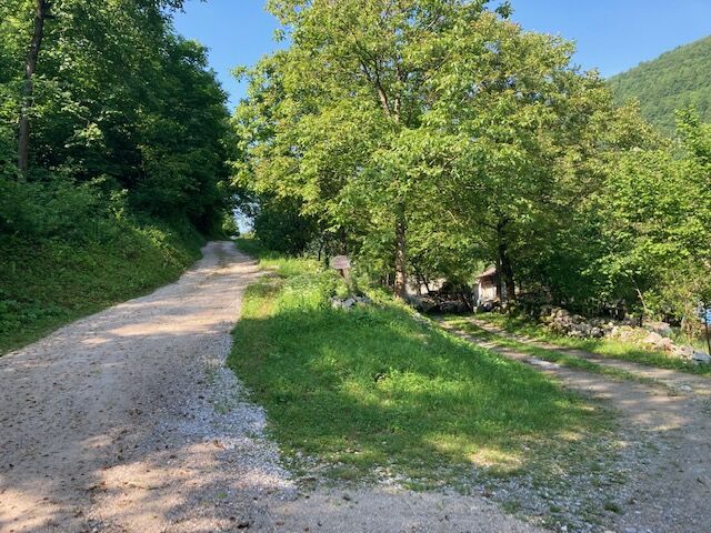
In Kanal, turn to the narrow street heading north from the square. Follow the marks for Kal nad Kanalom. Ride 5 km to Avče. At the end of Avče, turn from the main road to the right towards Doblar and descend for a kilometre along a narrow asphalt road downwards. When exiting the narrow area, pay attention to the MTB signs that point you to the narrow asphalt road to the right and upwards. Continue along it and there you shall have no problems orientating. The road takes you along the left bank of the Soča River for about 100 metres in altitude below you. The terrain comprises concrete on steep parts as well as asphalt, gravel and unpaved road. After 4 km, above Babja jama, the cart road descends to a dark ravine and on the other side rises to a more flat terrain. In this part, the cart road has stones and gravel, therefore, you need to walk by the bike for 200 metres. After a less than a kilometre, at Log village, you can drive along asphalt road to Drobočnik, turn right towards Most na Soči and you will reach the goal in a few minutes. There you can continue along the Juliana Bike route.
Technically flawless bike (gravel, XC, all-mountain)
Helmet, gloves, sunglasses
Food and beverages in a backpack
Spare tire, pump, multi tool, first aid kit
Personal identity document, health insurance card, mobile phone and/or navigation device, map of the area
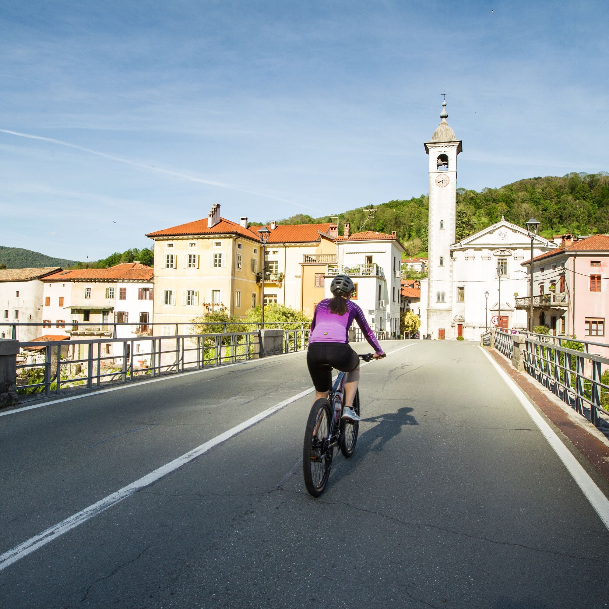
The cycling route follows narrow roads leading through villages on the left bank of the Soča River, where you should be alert for pedestrians and motor vehicles.
3
Népszerű túrák a környéken
-
3,6
Tolminka Klamm
könnyűKirándulás 1,90 km -
5,0
Tolminka Klamm
közepesKirándulás 2,12 km -
4,5
Wanderung durch die Tolminska Klamm
közepesKirándulás 2,89 km -
4,0
Kolovrat
közepesMountainbike 33,0 km -
5,0
JULIANA TRAIL - stage 12: Tolmin – Kobarid
közepesKirándulás 17,3 km -
Kolovrat mountain loop
könnyűKirándulás 7,51 km -
JULIANA TRAIL – stage 20: Šmartno - Solkan
nehézKirándulás 13,3 km -
1,0
JULIANA TRAIL: stage 10 Grahovo ob Bači – Most na Soči
közepesKirándulás 16,6 km -
JULIANA BIKE - stage 5: Tolmin - Zakojca
közepesBiciklizés 30,7 km -
JULIANA TRAIL – stage 19: Korada - Šmartno
közepesKirándulás 11,4 km
Túrázás & nyomkövetés


Ne maradjon le az ajánlatokról és az inspirációról a következő nyaralásához!
Az Ön e-mail címe hozzá lett adva a levelezőlistához.