


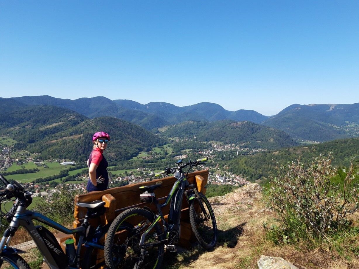
The chapels mountain bike route FFC no. 32
Nehézségi szint: S2


Some technical sections will require good mountain biking skills!

detailed route
Wearing a helmet is strongly recommended
Safety instructions
Emergency number: 112
Mountain biking as you want! but…
Use marked trails for your safety and respect the direction of the routes
Do not overestimate your abilities and keep control of your speed
Be careful and courteous when overtaking or crossing hikers as pedestrians have priority
Check the condition of your mountain bike and plan for supplies and repair tools
If you go alone, leave your route with someone you trust
Respect private properties and cultivated areas
Beware of agricultural and forestry machinery
Close the gates
Avoid picking wild flowers, fruits and mushrooms
Do not disturb the peace of wild animals
Keep your litter, be discreet and respectful of the environment
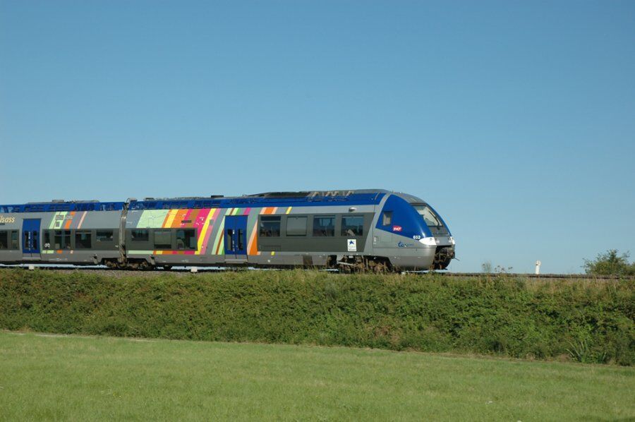
Saint-Amarin TER train station
www.fluo.eu
Free parking on site
S2
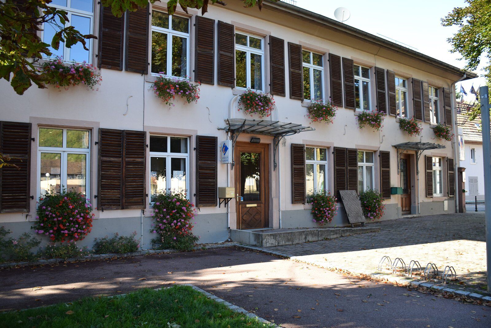
Saint-Amarin Valley Tourist Office
81 GENERAL DE GAULLE STREET
68550 Saint Amarin Valley
Tel: 03 89 82 13 90
saint-amarin@hautes-vosges-alsace.fr
www.hautes-vosges-alsace.fr
Accessible by train!
Népszerű túrák a környéken
-
Tour de l'Altenweiher et Rainkopf, Mittlach, France
közepesKirándulás 12,6 km -
4,0
Boucle du Grand Ballon de Goldbach-Altenbach, France
közepesKirándulás 14,7 km -
Grand Ballon route in 3 days
nehézhosszú távú sétaútvonal 54,2 km -
Wald, Moor und Panorama
közepesKirándulás 9,56 km -
Schafert Farmhouse Walk "Towards a 360 degree high view"
közepesKirándulás 5,49 km -
Walk Farm-Inn Kahlenwasen "Taste peace and recharge your batteries"
közepesKirándulás 3,88 km -
Hilsen Farm Inn route - a panorama on the Grand Ballon
közepesKirándulás 5,47 km -
Walk Ferme-Auberge Schnepfenried "Facing the great ridge"
könnyűKirándulás 3,22 km -
5,0
Le Petit Ballon de Christel
közepesKirándulás 15,2 km -
4,0
Farm-Inn Strohberg walk "From one valley to the other"
közepesKirándulás 4,85 km

Túrázás & nyomkövetés


Ne maradjon le az ajánlatokról és az inspirációról a következő nyaralásához!
Az Ön e-mail címe hozzá lett adva a levelezőlistához.