


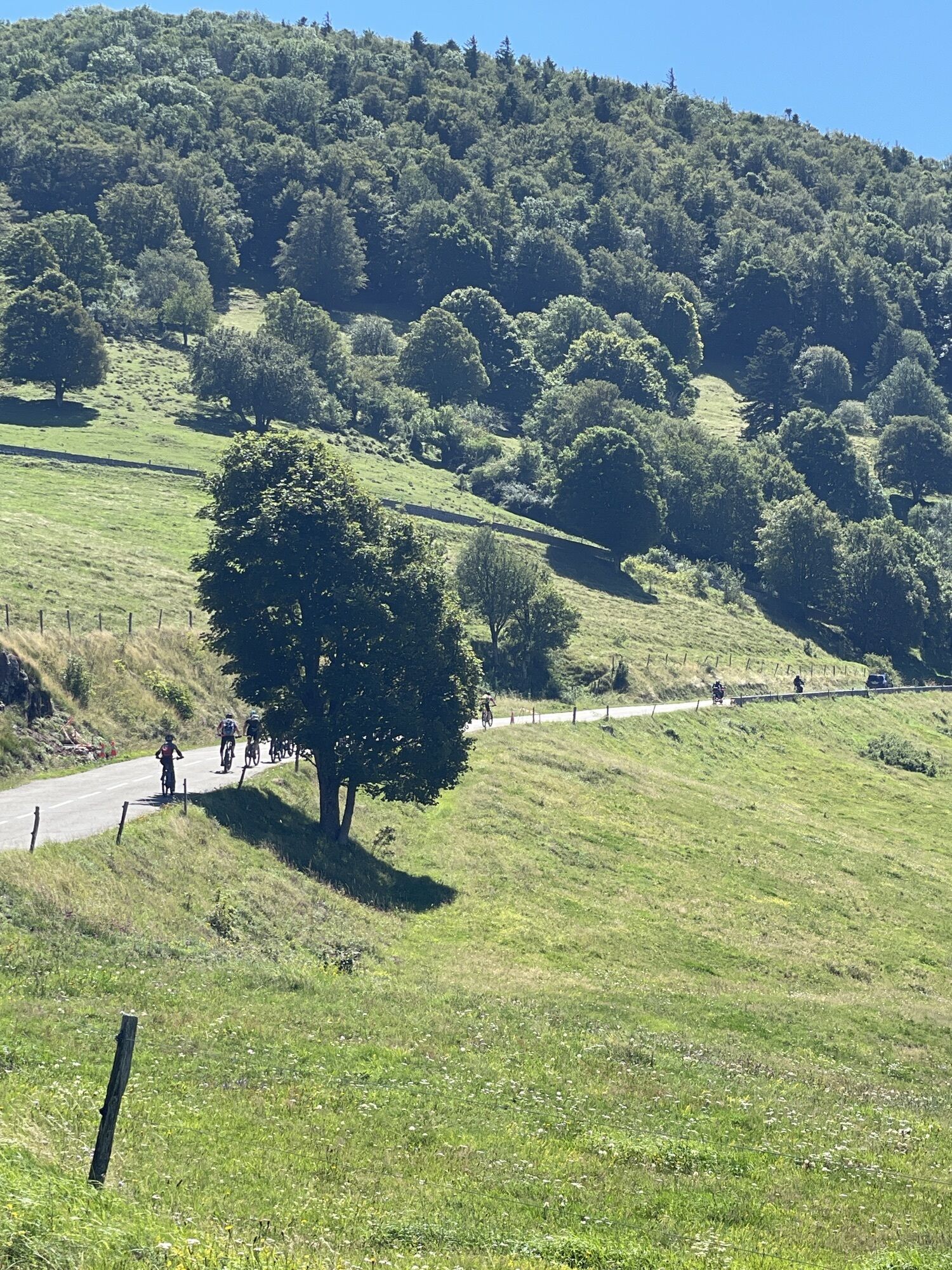
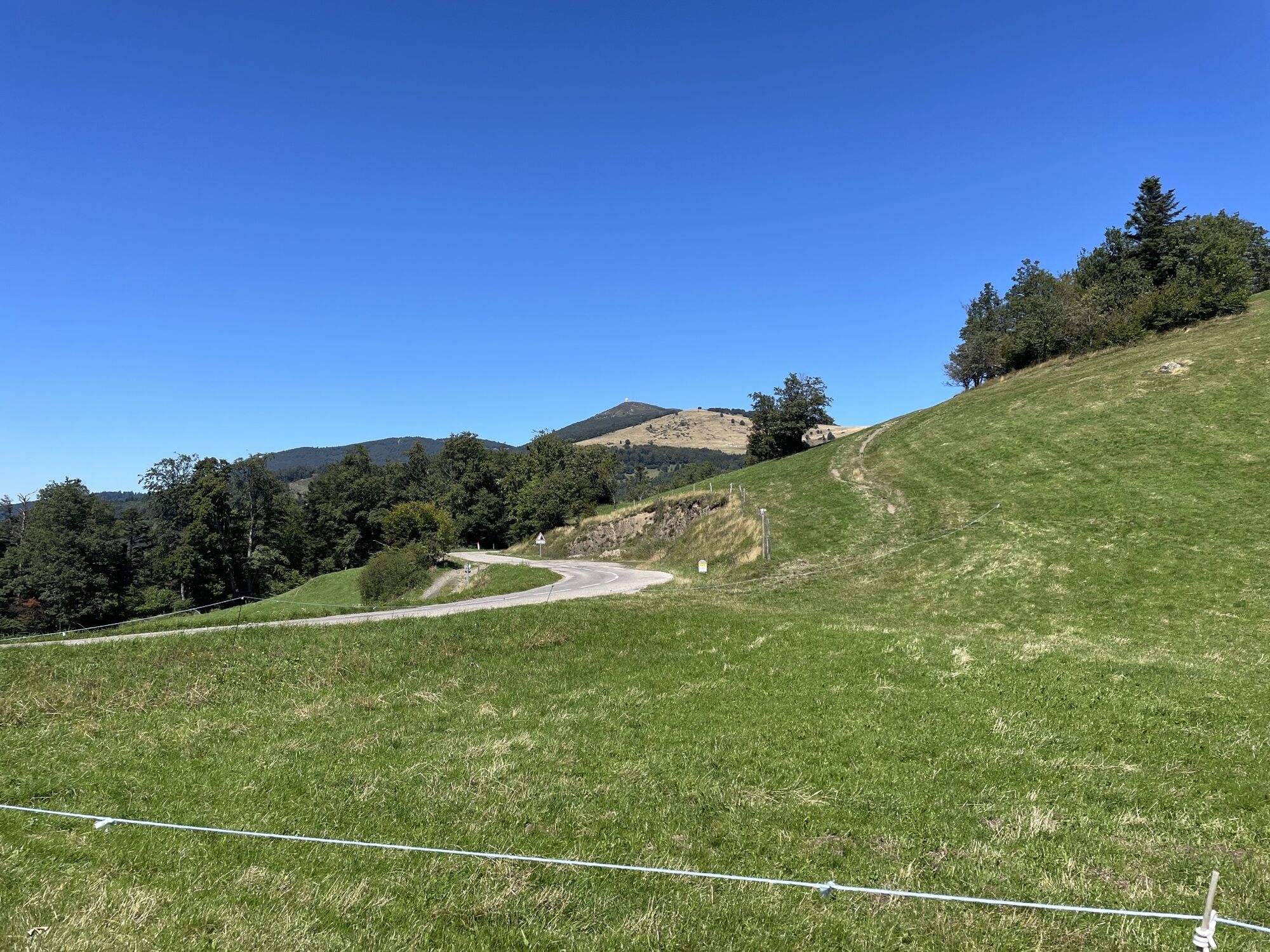
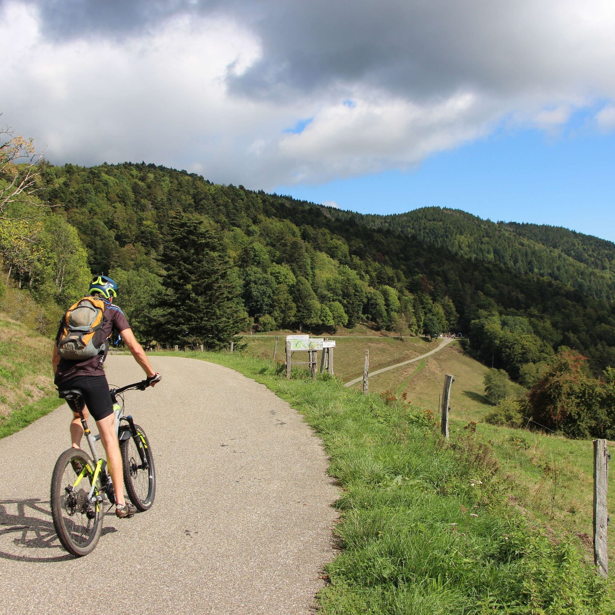
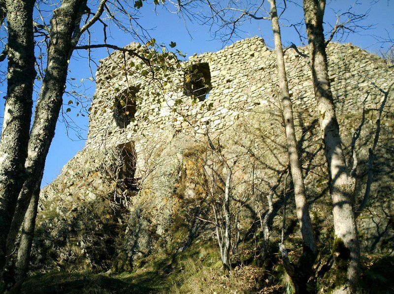
The Col Amic mountain bike FFC route no. 33
Nehézségi szint: S2


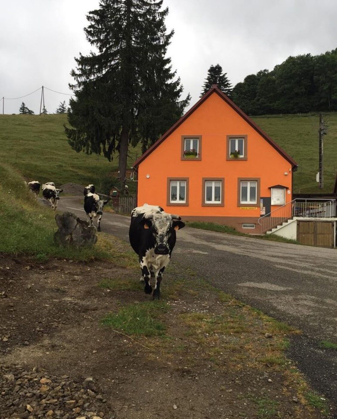
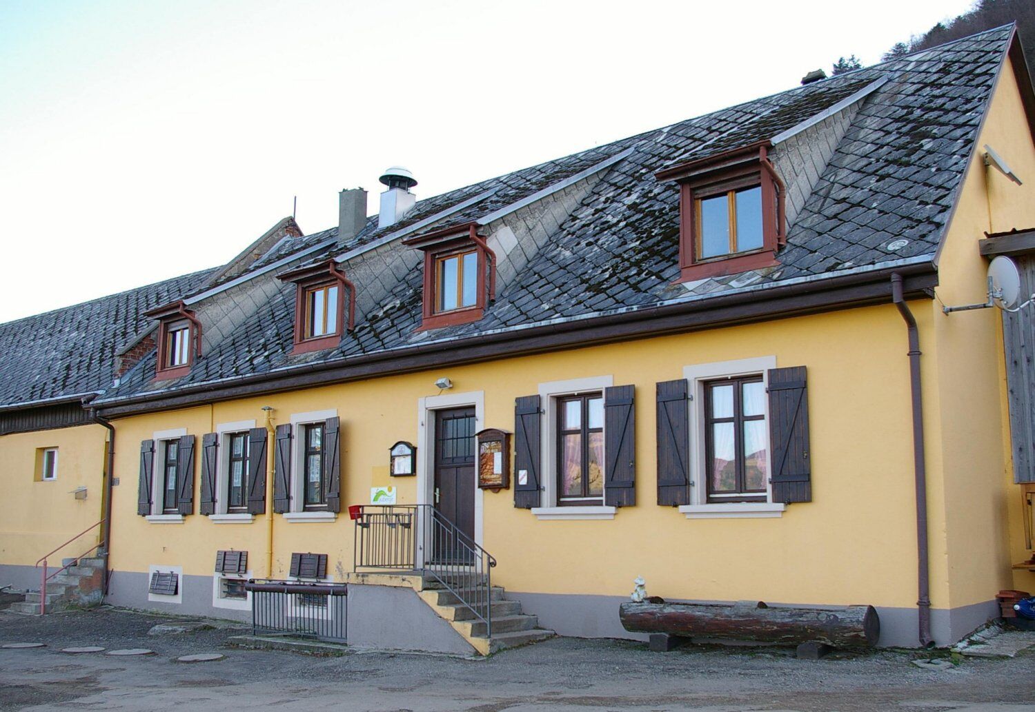
Numerous farm inns dot the path: Ostein, Freundstein, and Kohlschlag. Don't hesitate to make a gourmet stop there!

detailed route
Wearing a helmet is strongly recommended
Safety instructions
Emergency number: 112
Mountain biking as you like! but…
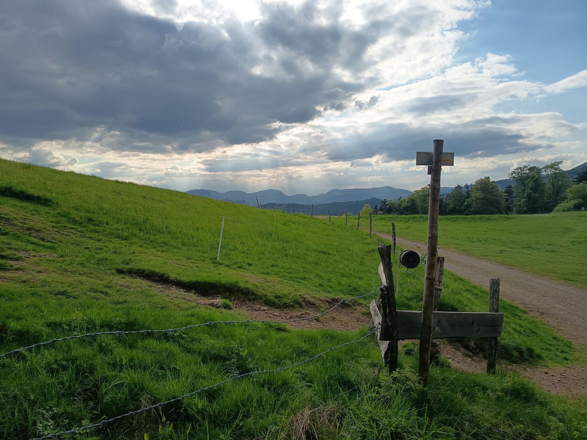
Use the marked trails for your safety and respect the direction of routes
Do not overestimate your abilities and stay in control of your speed
Be careful and courteous when overtaking or crossing hikers as pedestrians have priority
Check the condition of your mountain bike and plan for supplies and repair accessories
If you go alone, leave your route with someone you trust
Respect private property and cultivated areas
Watch out for agricultural and forestry machinery
Close gates
Avoid wild picking of flowers, fruits, and mushrooms
Do not disturb the peace of wild animals
Take your litter with you, be discreet and respectful of the environment
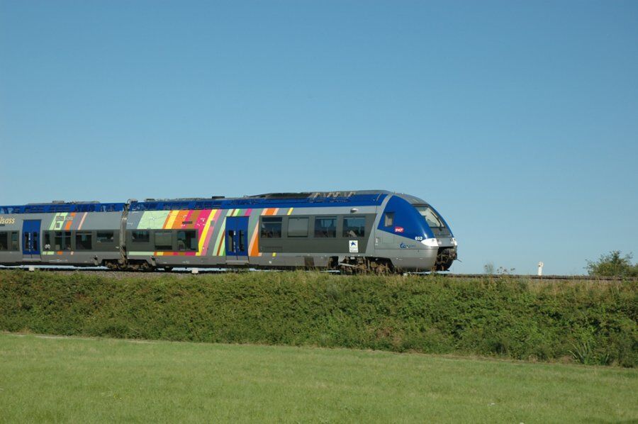
Moosch TER train station
www.fluo.eu
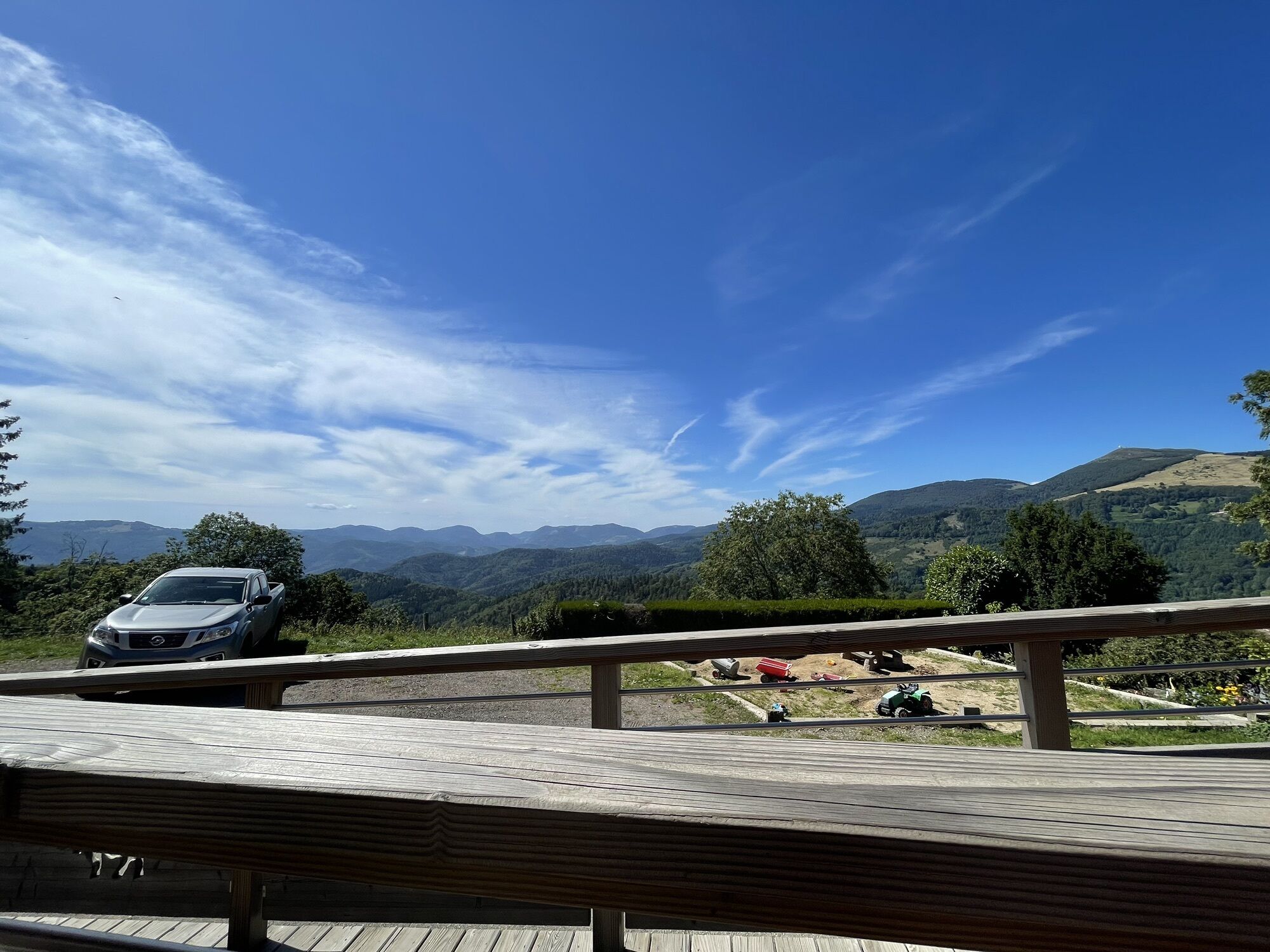
Free parking on site
S2
Saint-Amarin Valley Tourist Office
81 RUE DU GENERAL DE GAULLE
68550 Saint Amarin Valley
Tel: 03 89 82 13 90
saint-amarin@hautes-vosges-alsace.fr
Accessible by train! A beautiful route starting from Moosch!
Népszerű túrák a környéken
-
4,0
Boucle du Grand Ballon de Goldbach-Altenbach, France
közepesKirándulás 14,7 km -
Grand Ballon route in 3 days
nehézhosszú távú sétaútvonal 54,2 km -
Schafert Farmhouse Walk "Towards a 360 degree high view"
közepesKirándulás 5,49 km -
Walk Farm-Inn Kahlenwasen "Taste peace and recharge your batteries"
közepesKirándulás 3,88 km -
Hilsen Farm Inn route - a panorama on the Grand Ballon
közepesKirándulás 5,47 km -
Walk Ferme-Auberge Schnepfenried "Facing the great ridge"
könnyűKirándulás 3,22 km -
4,0
Farm-Inn Strohberg walk "From one valley to the other"
közepesKirándulás 4,85 km -
Wine trail of the Coteaux du vieil-Armand in Uffholtz
közepesKirándulás 5,60 km -
The Belacker and Gsang MTB FFC route no. 22
közepesMountainbike 36,7 km -
Route Thannerhubel Farm Inn "Between the stone alignments"
könnyűKirándulás 2,98 km

Túrázás & nyomkövetés


Ne maradjon le az ajánlatokról és az inspirációról a következő nyaralásához!
Az Ön e-mail címe hozzá lett adva a levelezőlistához.