


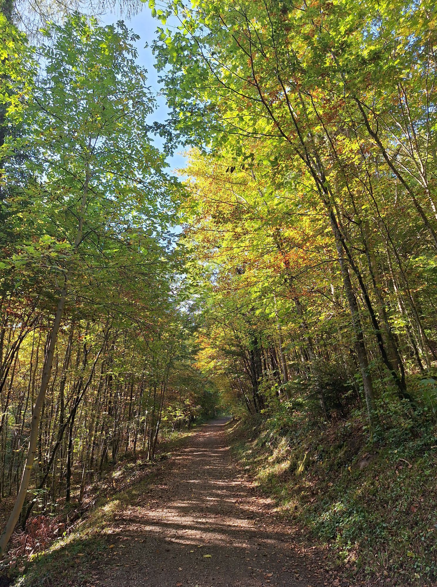
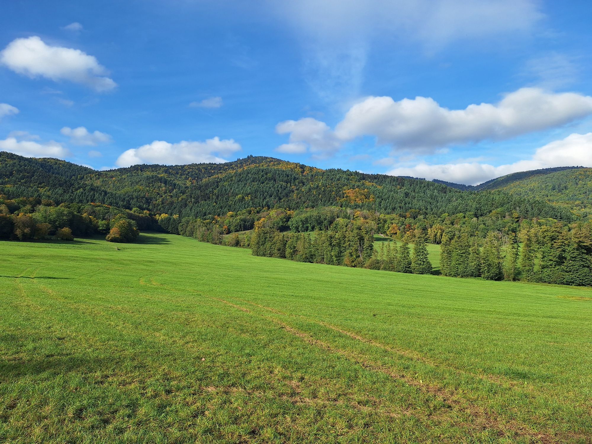
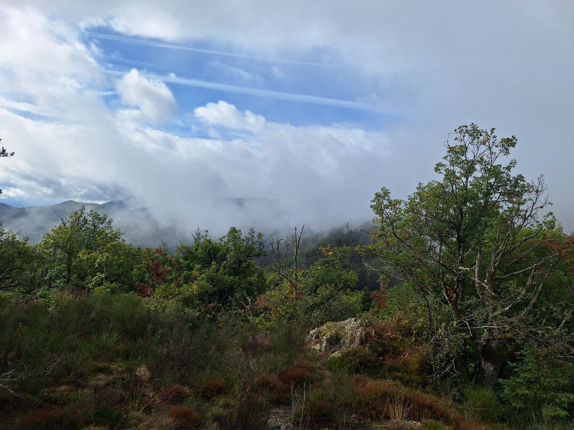
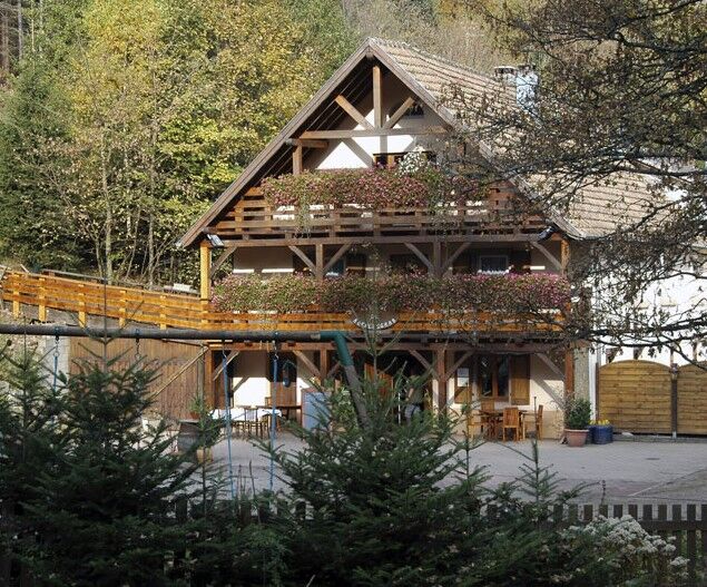
MTB circuit: Boenlesgrab circuit
Nehézségi szint: S3


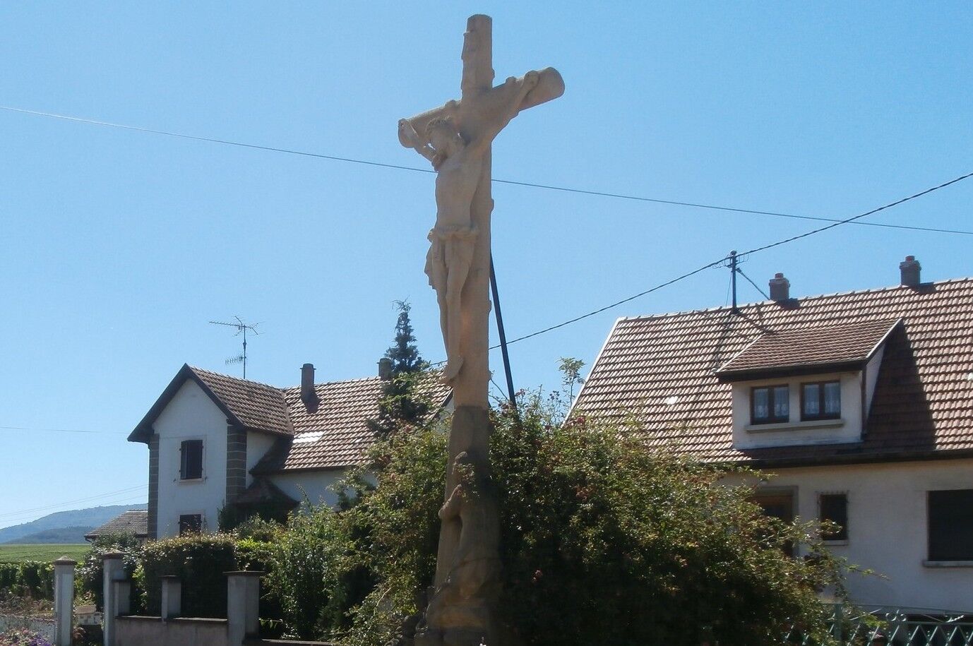
Mythology enthusiasts recognize there a ridge (grat=grab) dedicated to Bénéloos while historians link it to a noble family from Munster, the Böhnle. Mission Cross
see route
Wearing a helmet is highly recommended
Safety instructions
Emergency number: 112
Mountain biking as you like! but…
Use marked trails for your safety and respect the direction of the routes
Do not overestimate your abilities and stay in control of your speed
Be careful and courteous when overtaking or crossing hikers as pedestrians have priority
Check the condition of your MTB and plan refreshments and repair accessories
If you go alone, leave your route with someone you know
Respect private property and cultivated areas
Beware of agricultural and forestry machinery
Close the gates
Avoid wild picking of flowers, fruits and mushrooms
Do not disturb the peace of wild animals
Take your rubbish with you, be discreet and respectful of the environment
Bergholtz
www.fluo.eu
Free parking on site
S3
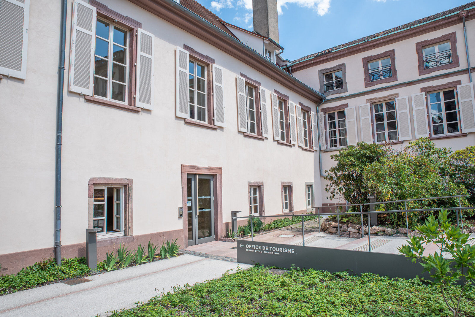
Tourist office of the Guebwiller Region
3 rue du 4 Février
Château de la Neuenbourg
68500 Guebwiller
03 89 76 10 63
info@tourisme-guebwiller.fr
www.tourisme-guebwiller.fr
Népszerű túrák a környéken
-
4,0
Boucle du Grand Ballon de Goldbach-Altenbach, France
közepesKirándulás 14,7 km -
Grand Ballon route in 3 days
nehézhosszú távú sétaútvonal 54,2 km -
4,3
Eguisheim zu den 3 Burgen
közepesKirándulás 7,90 km -
Walk Farm-Inn Kahlenwasen "Taste peace and recharge your batteries"
közepesKirándulás 3,88 km -
Hilsen Farm Inn route - a panorama on the Grand Ballon
közepesKirándulás 5,47 km -
Walk Ferme-Auberge Schnepfenried "Facing the great ridge"
könnyűKirándulás 3,22 km -
5,0
Le Petit Ballon de Christel
közepesKirándulás 15,2 km -
4,0
Farm-Inn Strohberg walk "From one valley to the other"
közepesKirándulás 4,85 km -
Petit Ballon circuit de dénivelé
közepesKirándulás 17,0 km -
Wine trail of the Coteaux du vieil-Armand in Uffholtz
közepesKirándulás 5,60 km
Túrázás & nyomkövetés


Ne maradjon le az ajánlatokról és az inspirációról a következő nyaralásához!
Az Ön e-mail címe hozzá lett adva a levelezőlistához.