


RUDLIN CIRCUIT AT GAZON DU FAING
Nehézségi szint: T2


You will be able to discover a variety of ever-changing landscapes, from the valley to the high moorlands, alternating between water, mineral, and vegetation

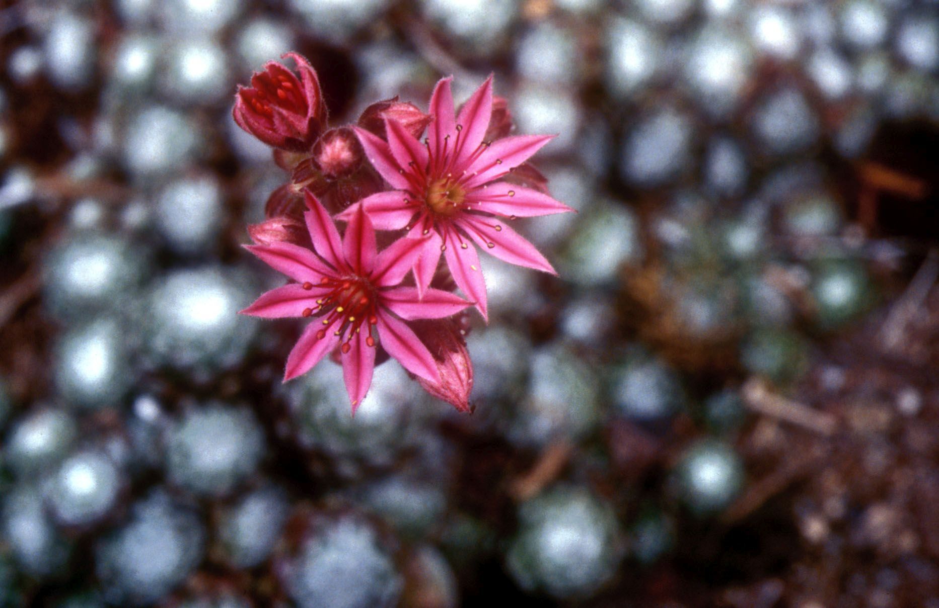
This beautiful route is one of the most picturesque in the Pays de la Haute-Meurthe. You will be able to discover a variety of ever-changing landscapes, from the valley to the high moorlands, alternating between water, mineral, and vegetation. Variant of the hiking route offered by the OT Vosges - Portes d'Alsace.
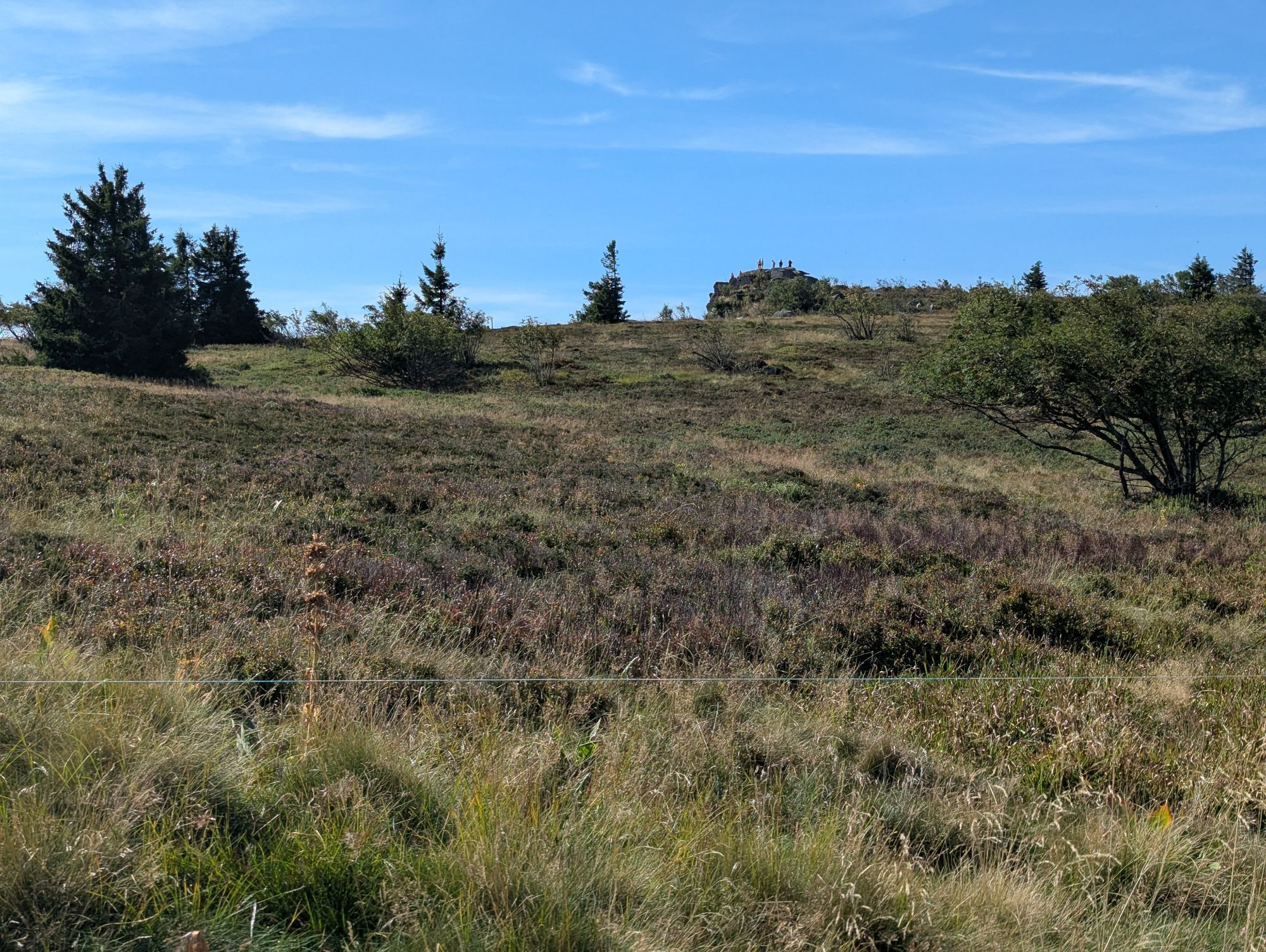
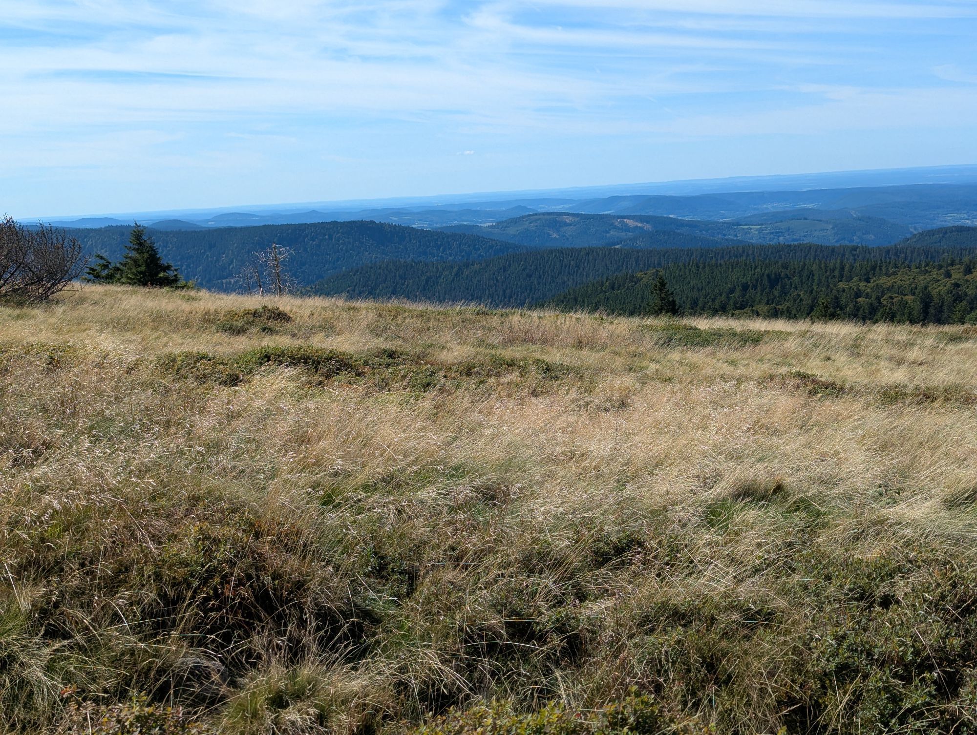
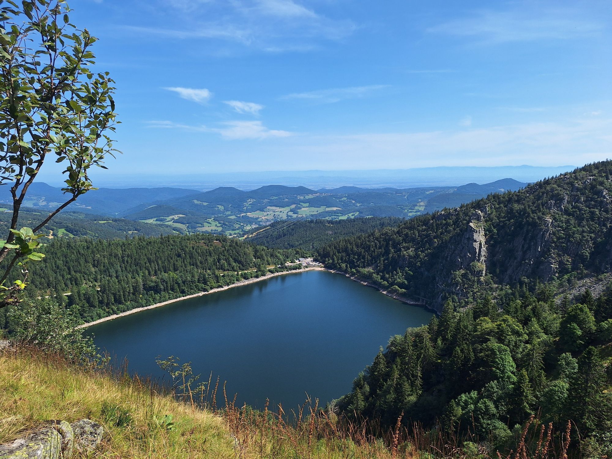
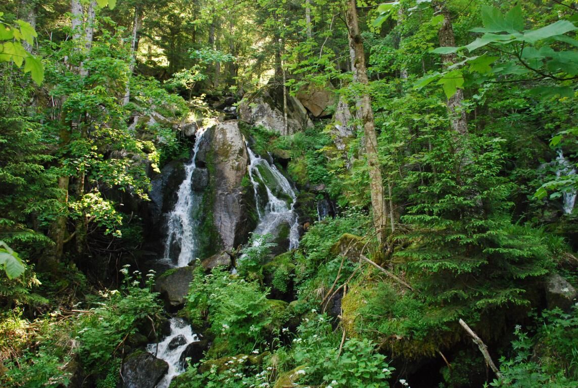
Departure from the shuttle bus stop "Navette des Crêtes - Gazon du Faing" follow the path above the inn to the left with the "green ring" marking towards the Hautes-Chaumes (orientation table at 1306 m, erected by the Plainfaing Tourist Board) magnificent view of the Lac des Truites, Le Hohneck, the Alsace Plain. Walk along the Gazon du Faing Nature Reserve with a superb view of the Lac Blanc following the "red rectangle". For the descent, follow the path to the left (blue triangle), cross the Route des Crêtes and go down the path almost opposite, turn left at the fork, you follow a small stream allowing you to quench your thirst. Cross the bridge and go down the Ruhloch path (blue triangle) which takes you to the Etang des Dames then to the place called "Le Rudlin". Turn left before the bridge, take the path to the right towards the old inn, then the small path before the inn which climbs to the waterfall (red signboard). Take the small detour by the Roche des Fées then join the Gazon du Faing inn where you can eat and quench your thirst after this beautiful route.
Igen
Igen
Clothing adapted to the season and conditions (cold, hot, humid…)
Hiking shoes adapted to the terrain (even for children!)
Hiking poles (useful for stability and to relieve joints)
Mobile phone and spare battery
Before leaving:
Check general and local weather, ensuring no precipitation
Get information about the approach walk, height of the route, duration, possible escape routes (IGN map, GPS, guidebook, etc.)
Assess possible risks by consulting mountain professionals, refuge, lodges
Inform a relative of your goal and contact them in case of change: departure and return times, number of participants with each person's phone number, vehicle(s), parking
Avoid going alone, use equipment suitable for the activity, adjusted and in good condition, headlamp, complete first aid kit, survival blanket, etc.
In case of problem, call 112 (European emergency number)
Place called "Le Rudlin" - Plainfaing
www.fluo.eu
Free parking on site
T2
17 rue de Gérardmer 88230 PLAINFAING 03 29 42 22 22
https://www.vosges-portes-alsace.fr/fiches/940002488-circuit-cascade-du-rudlin-gazon-du-faing/
Népszerű túrák a környéken
-
Tour de l'Altenweiher et Rainkopf, Mittlach, France
közepesKirándulás 12,6 km -
Wald, Moor und Panorama
közepesKirándulás 9,56 km -
4,0
Hiking route - the circuit of the 3 lakes
közepesKirándulás 12,7 km -
Walk Farmhouse-Inn Gaschney - A feast for the eyes
közepesKirándulás 4,05 km -
Walk Farm-Inn Kahlenwasen "Taste peace and recharge your batteries"
közepesKirándulás 3,88 km -
Walk Forlet Farm-Inn - Walk facing the most beautiful glacial cirque of the Vosges
közepesKirándulás 3,97 km -
Walk Ferme-Auberge Schnepfenried "Facing the great ridge"
könnyűKirándulás 3,22 km -
5,0
Le Petit Ballon de Christel
közepesKirándulás 15,2 km -
Pré Bacot Farm-Inn Walk "Along the old terraces"
közepesKirándulás 3,97 km -
Walk Farm Inn Graine Johé "Walk between two valleys"
közepesKirándulás 3,36 km
Túrázás & nyomkövetés


Ne maradjon le az ajánlatokról és az inspirációról a következő nyaralásához!
Az Ön e-mail címe hozzá lett adva a levelezőlistához.