


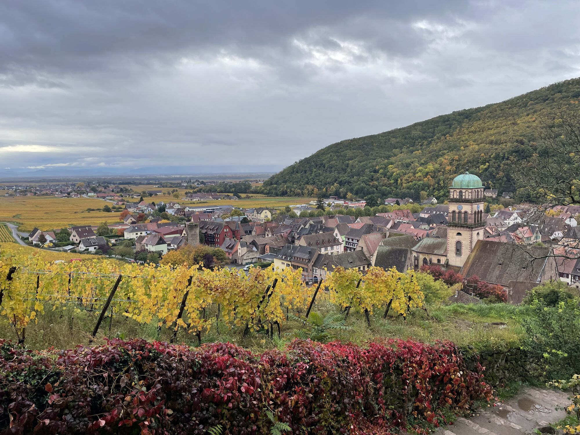
Hiking route - from Kaysersberg to Ribeauvillé


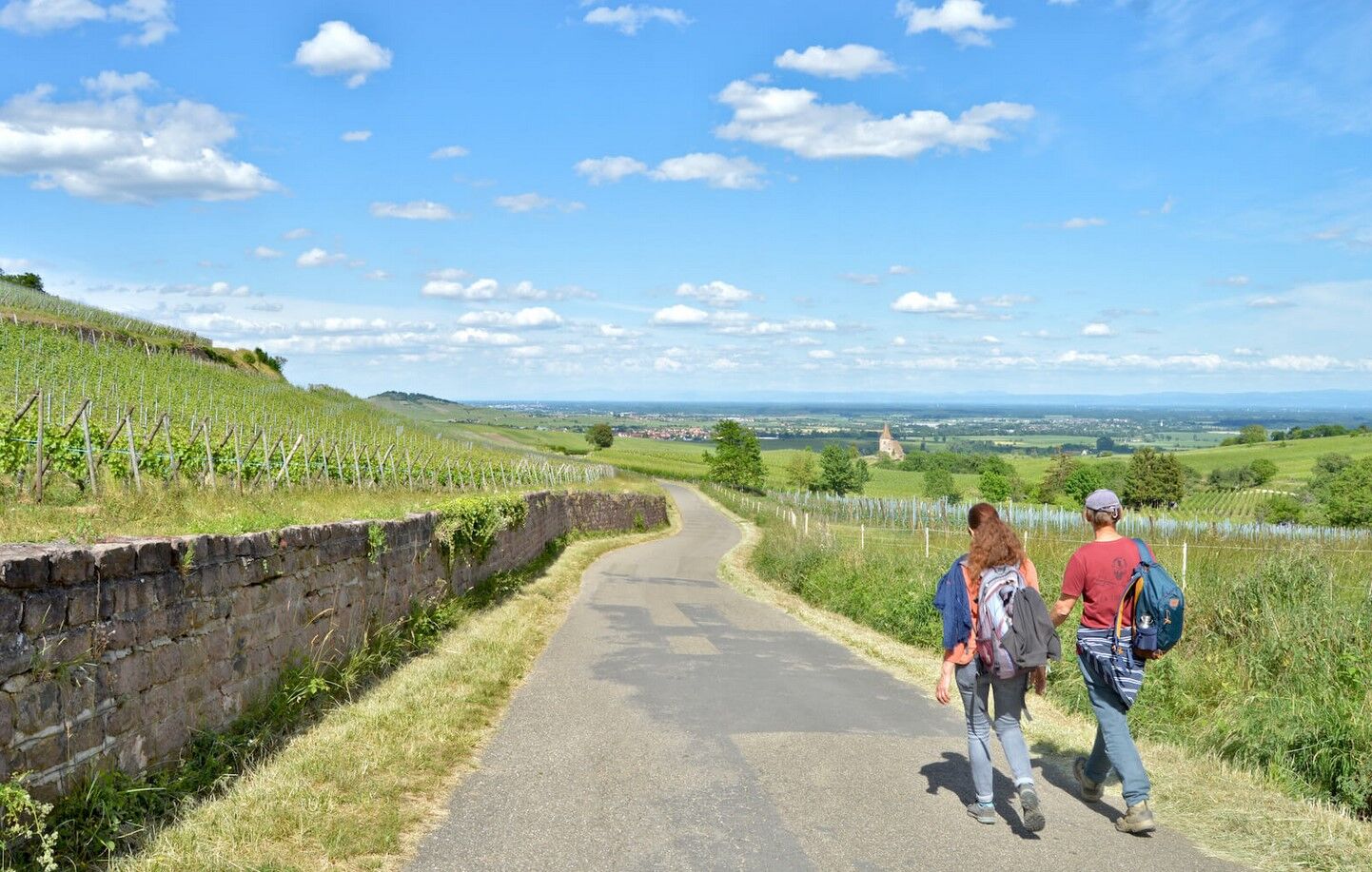
This hike offers many discovery opportunities. We advise you to start as early as possible to fully enjoy this extraordinary day. We present this route as a loop but its layout is easily adjustable. Choose...
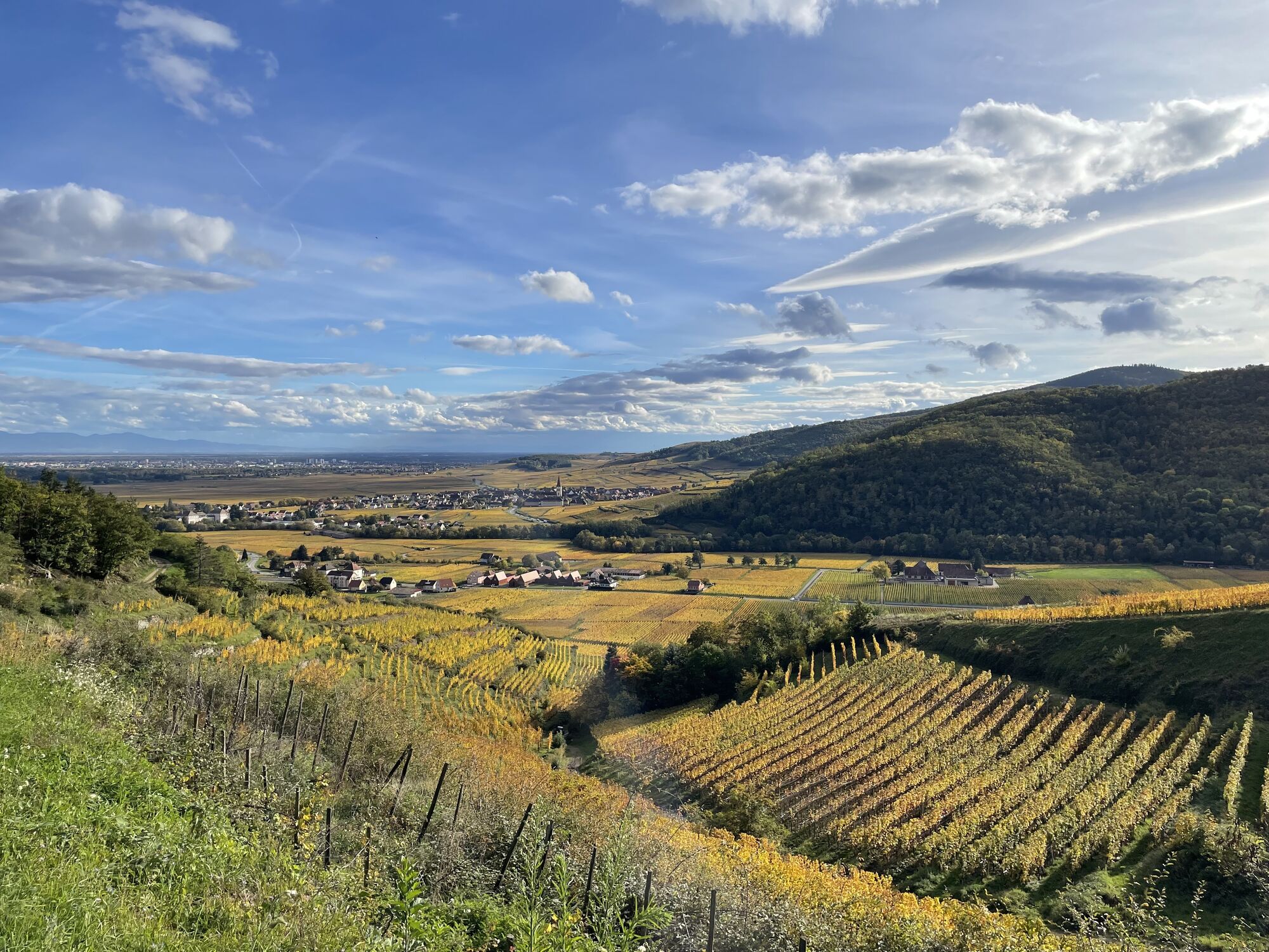
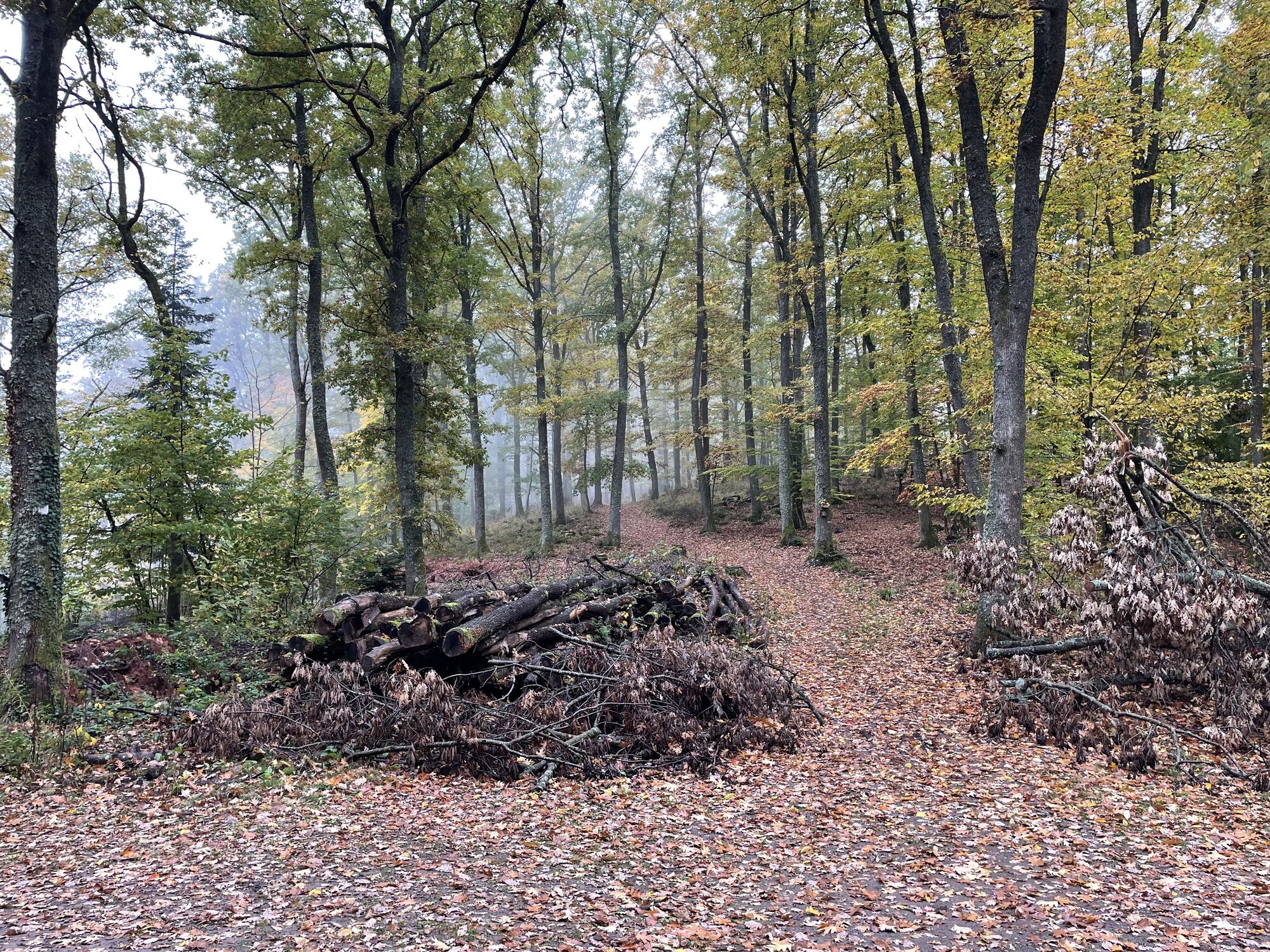
This hike offers many discovery opportunities. We advise you to start as early as possible to fully enjoy this extraordinary day. We present this route as a loop but its layout is easily adjustable. Choose either a round trip on the mythical Saint James Way or set off to do the complete loop which begins by crossing the forest to reach Ribeauvillé, the first destination. In any case, you will finish this walk with stars in your eyes and the satisfaction of having walked one of the most beautiful sections of the Alsace Wine Route.

here is the route - Have a good hike!
Recommended equipment
Clothing suitable for the season and conditions (cold, hot, humid…)
Hiking shoes adapted to the terrain (even for children!)
Telescopic poles (useful for stability and to relieve joints)
Mobile phone and spare battery if needed
In case of problem
Call 112 (European emergency number)
5 key points to transmit your alert:
Where? municipality, place, route, altitude
Who? identity, phone number
What? type of accident, number of victims, severity, dynamics of fall
When? time of the accidentWeather? wind, visibility
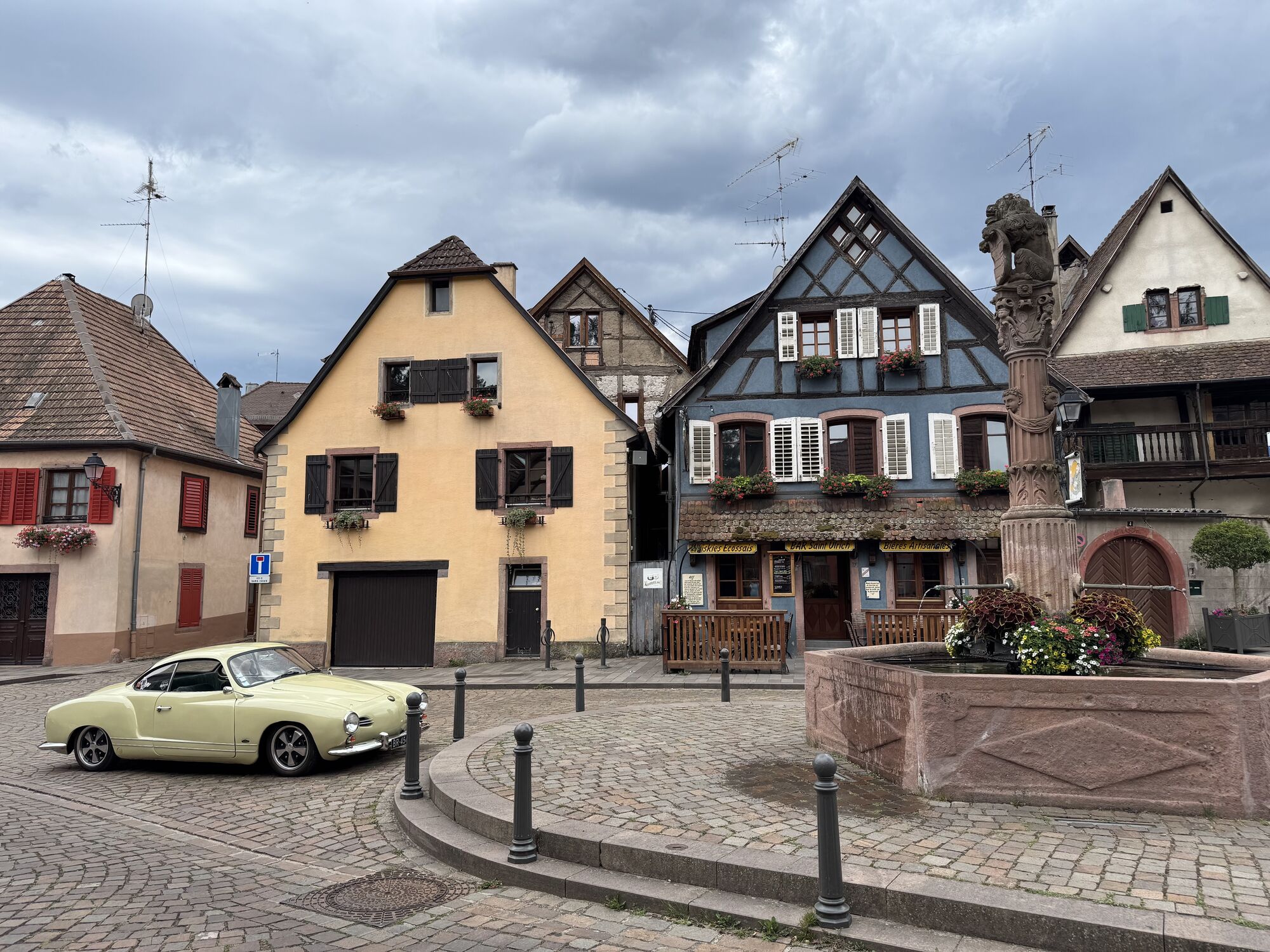
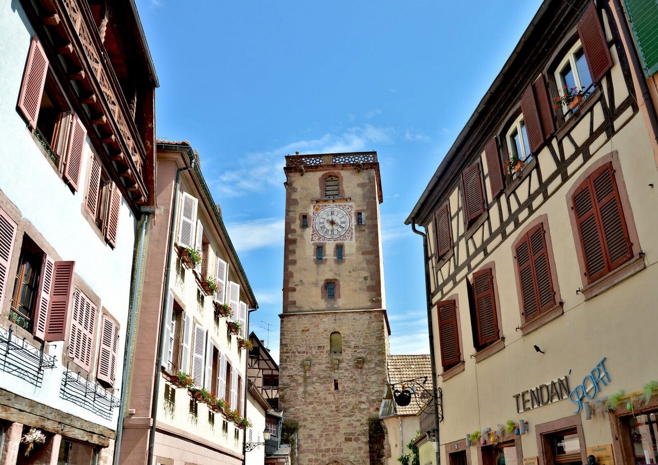
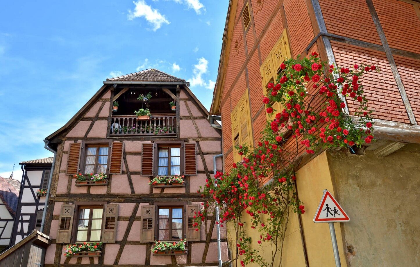
Kaysersberg
www.fluo.eu
Parking on site (paid)
Kaysersberg Valley Tourist Office
39 Rue du Général de Gaulle
68240 Kaysersberg Vignoble
Tel: 03 89 78 22 78
info@kaysersberg.com
www.kaysersberg.com
Our hiking highlights:
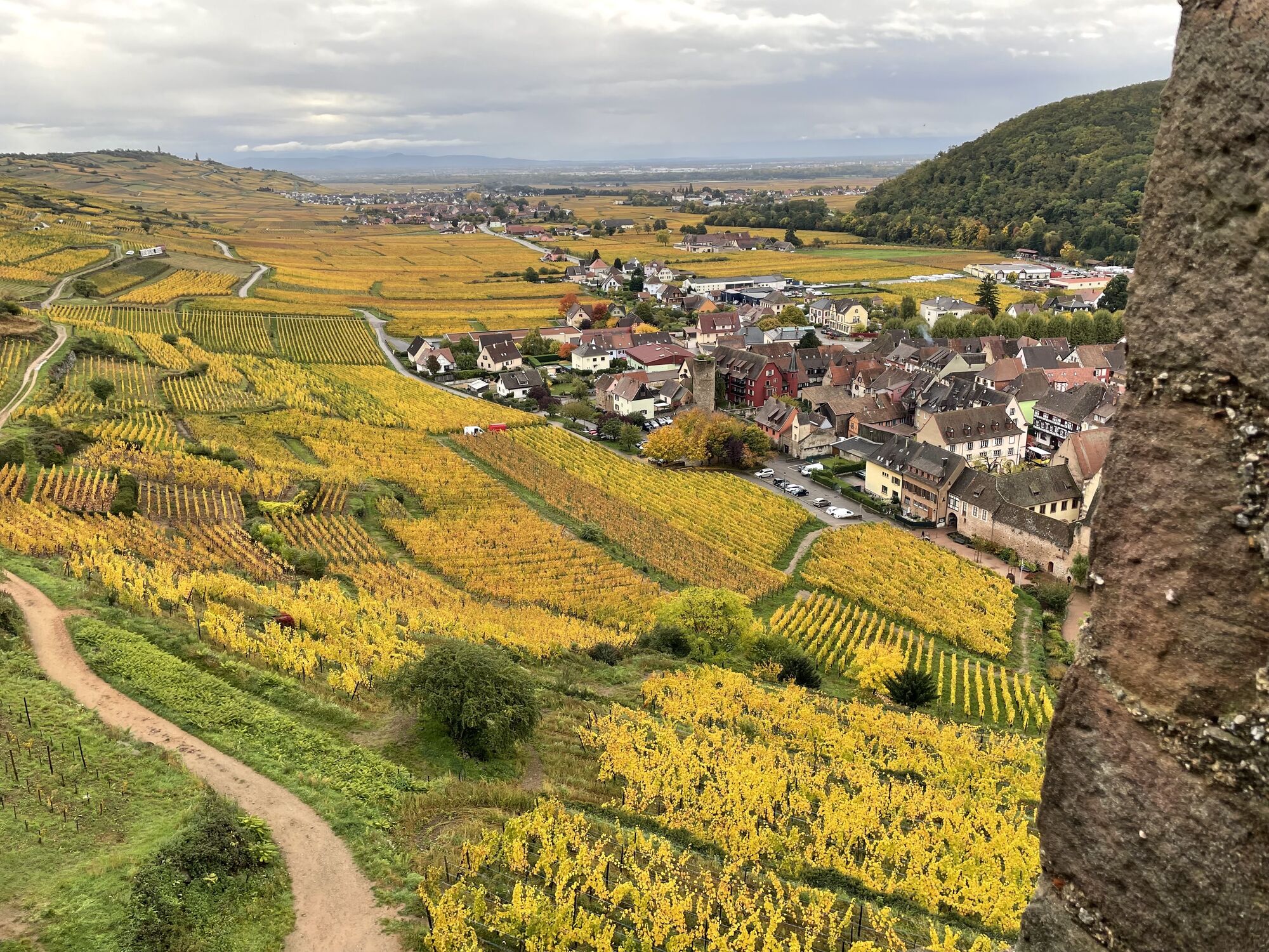
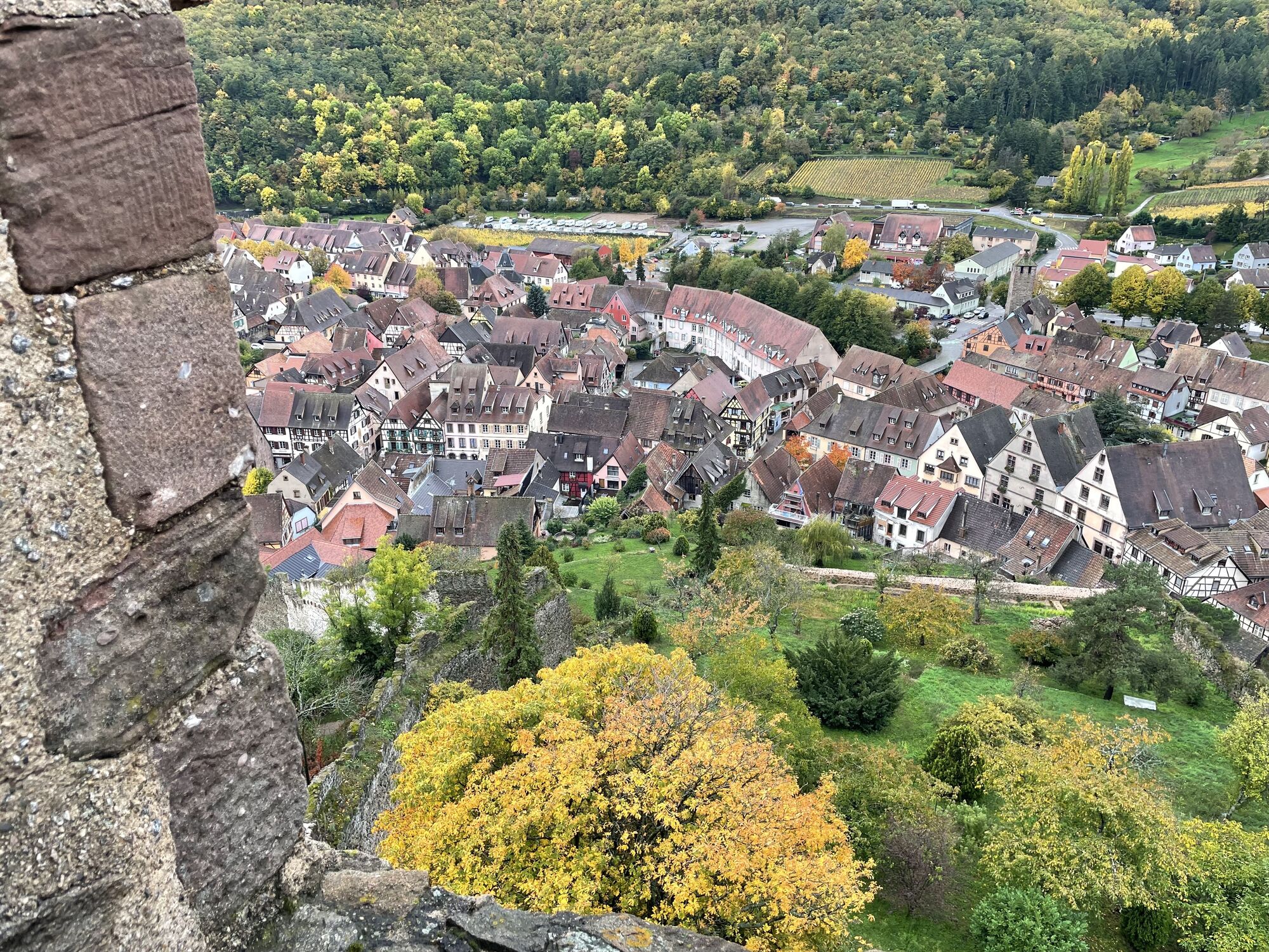
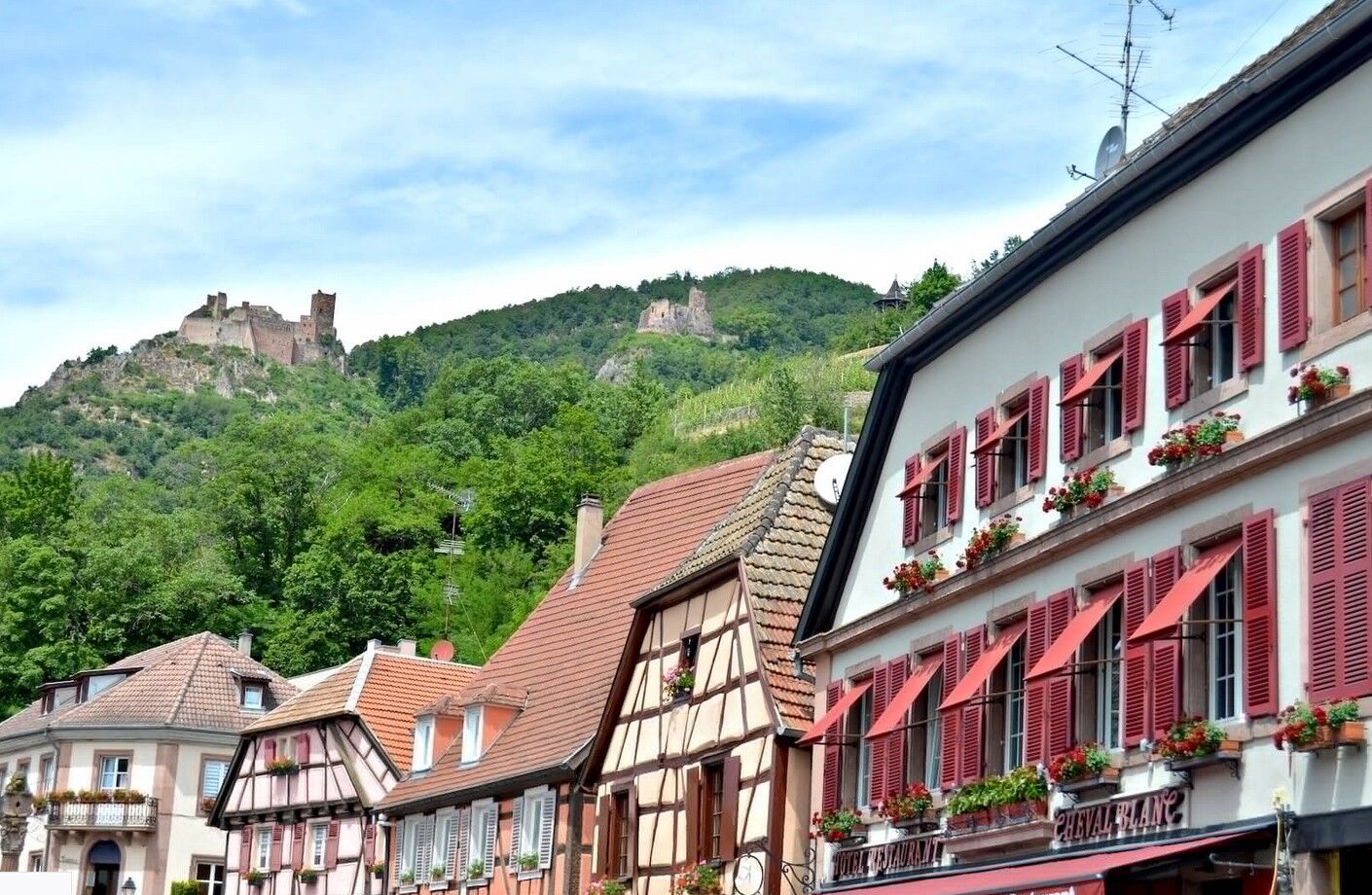
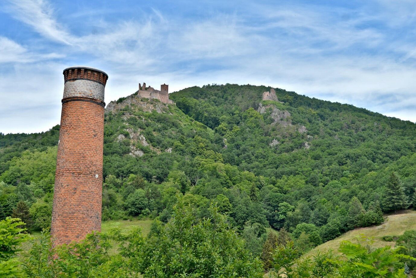
walk part of the Alsace Wine Route visit the vineyard towns: Ribeauvillé, Hunawihr, Riquewihr, Kaysersberg discover the exceptional landscapes of the vineyard
Népszerű túrák a környéken
-
4,3
Eguisheim zu den 3 Burgen
közepesKirándulás 7,90 km -
3,5
Ribeauvillé-Riquewihr between forest and vineyard
közepesKirándulás 12,5 km -
Bike route: BL128 - Around Colmar, capital of Alsace wines
könnyűBiciklizés 23,3 km -
Bike route: BL320 - The Décapole through vineyards and slopes
könnyűBiciklizés 20,2 km -
3,0
Tour Haut-Koenigsnourg de St Hypolite
könnyűKirándulás 11,8 km -
Pré Bacot Farm-Inn Walk "Along the old terraces"
közepesKirándulás 3,97 km -
Walk Farm Inn Graine Johé "Walk between two valleys"
közepesKirándulás 3,36 km -
Cycling route: Alsace Vineyard Cycle Route: from Marlenheim to Thann
nehézTávolsági kerékpározás 141,4 km -
Mountains, vineyards and castles in Alsace and the Vosges Massif
nehézLovaglás 154,9 km -
Wandelen boven Kaysersberg. Vogezen.
könnyűKirándulás 9,40 km
Túrázás & nyomkövetés


Ne maradjon le az ajánlatokról és az inspirációról a következő nyaralásához!
Az Ön e-mail címe hozzá lett adva a levelezőlistához.