


Family walk at the Ballon d'Alsace


Markings: Yellow disk - Red rectangle - Blue ring - Red disk.

- From the parking lot at the Tourist Office, head towards the forest behind the monument "The Projected Man" by following the central path between the chalet dedicated to cross-country skiing and the sign "Ballons Comtois Nature Reserve" (yellow disk / red rectangle GR5 markings).
- Enter the forest - At the first intersection (after the sign "Ballon d'Alsace State Forest"), turn right and follow the blue ring markings "Chemin Colas". At the crossroads 30m further, turn right again following the same markings: "Ballon d'Alsace 1h30 via the Colas path
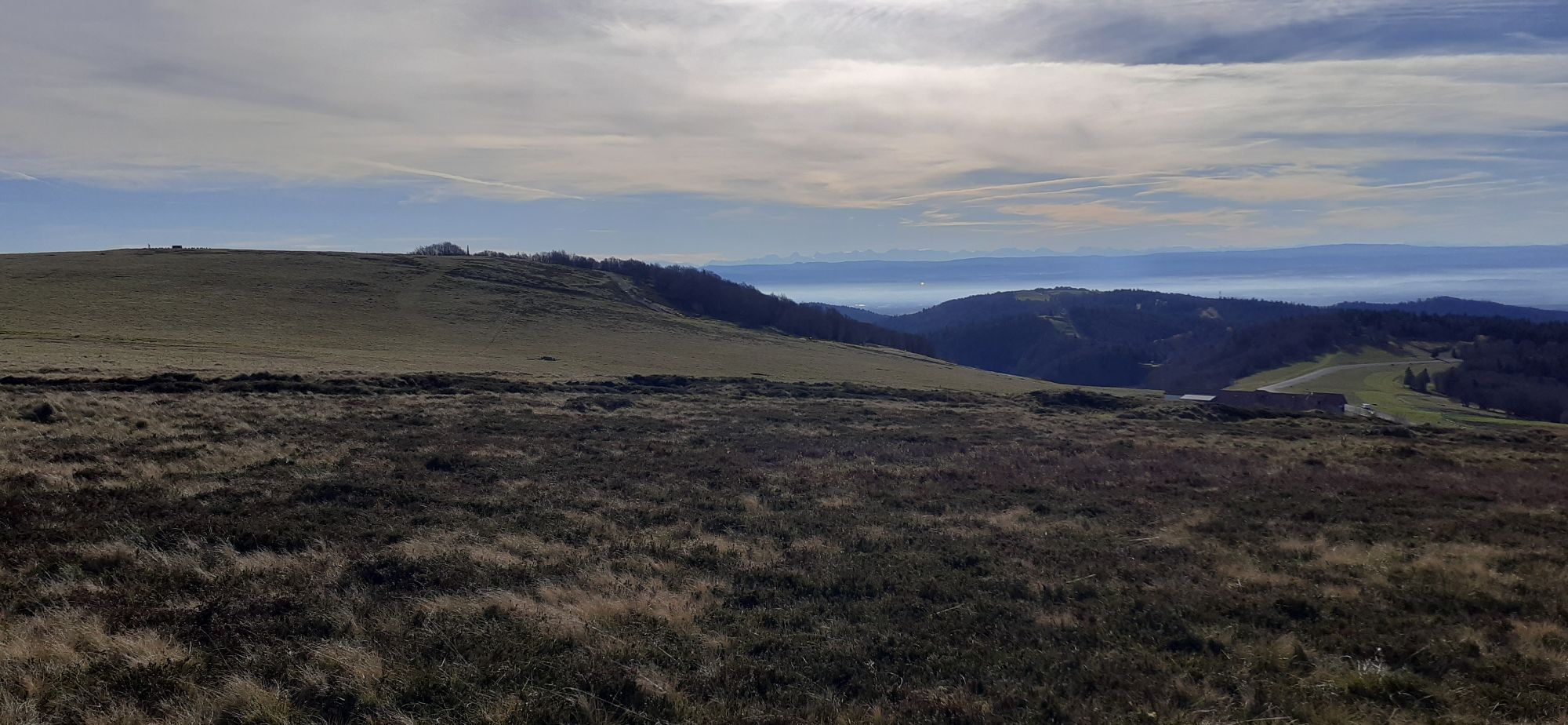
- Jumenterie 0h45". - Follow the path for about 1km. Take the opportunity to observe the Ballon de Servance on your left, which is characterized by its antenna on top.
- You will arrive at a small cleared area next to the paved road. Follow the path going up to the right (blue ring "Jumenterie"). - Climb this somewhat steep section for about 200m until you enter the cow park.
- Cross the field then follow the road while staying in the meadow until the building in front of you (the Jumenterie).
- Cross the road, pass in front of the Jumenterie building then follow it on the right by following the ascending path (red disk, direction "Ballon Summit")
- You arrive at a small chalet (the red disk is on the left side of it). You can enjoy a picnic table and the presence of Vosgian cows (depending on the season).
- With your back to the picnic table, take the ascending path that passes under the ski lift.
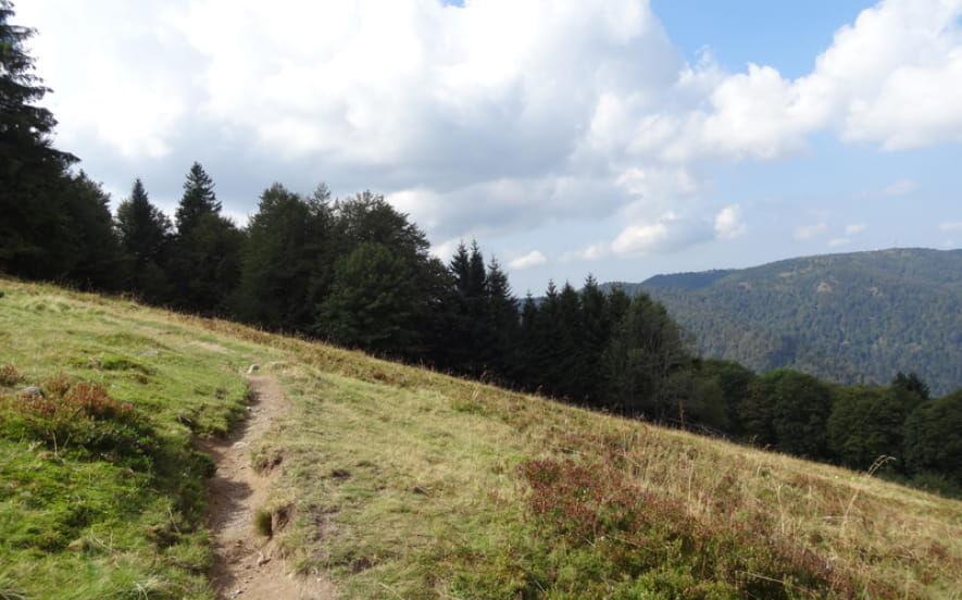
- Exit the cow park by following the path, then continue for about 600m through the forest and blueberry bushes.
- Arriving at a clearing, follow the path and walk along the meadow on your right. Depending on the weather and season, you may be able to admire horses.
- You can join the "Discovery Trail" by turning left and climbing to the Joan of Arc statue. Otherwise, turn right and return to your starting point. IGN reference map 3520 OT is available at tourist offices. The GPX track as well as the description of the hike are downloadable below.
Igen
Igen
Igen
Check the general and local weather ensuring no precipitation. Inform yourself about the approach walk, itinerary height, travel time, possible bailout (IGN map, GPS, guidebook, etc.) Evaluate possible risks by consulting mountain professionals, refuge, lodgings Inform a close person of your goal and contact them in case of change: departure and return times, number of participants with each person's phone number, vehicle(s), parking Avoid going alone, use equipment suitable for the activity, adjusted and in good condition, headlamp, complete first aid kit, survival blanket, etc.
In case of emergency, call 112
Access: Nationale 66, at the Saint Maurice sur Moselle tourist office take the D486 which is located just opposite and climb to the summit of the pass.
From Belfort via the municipality of Lepuix (A36 motorway, exit 13, all directions, then direction Ballon d’Alsace).
From Mulhouse via the municipality of Sewen (A36 motorway, exit 15 direction Masevaux, then direction Sewen / Ballon d’Alsace).
From the Vosges via the municipality of Saint-Maurice sur Moselle: ascend the pass via the road starting opposite the Tourist Office.
Start: Tourist Office of Ballon d’Alsace, located at the summit of the pass.
www.fluo.eu
Parking near the starting point: Tourist Office of Ballon d’Alsace, located at the summit of the pass.
gerardmer.net
Warning: this walk passes through the protected area Ballons Comtois Nature Reserve; dogs, even on a leash, are prohibited.
Népszerű túrák a környéken
-
Lochberg Farm Inn Route - Walk accompanied by centenary beeches
közepesKirándulás 3,64 km -
5,0
Discovery trail circuit at the Ballon d'Alsace
közepesKirándulás 2,69 km -
The Belacker and Gsang MTB FFC route no. 22
közepesMountainbike 36,7 km -
Route Thannerhubel Farm Inn "Between the stone alignments"
könnyűKirándulás 2,98 km -
The Thannerhubel at Bourbach-le-Haut
közepesKirándulás 7,32 km -
Gsang Farmhouse-Inn route: "A unique pastoral landscape in the Vosges"
közepesKirándulás 6,08 km -
Farm-Auberge Grand Langenberg walk "Towards the wild forests of the Ballon d'Alsace"
közepesKirándulás 6,93 km -
Walk Farm-Auberge Bruckenwald "On the old border"
közepesKirándulás 6,41 km -
Walk Farm-Auberge Baerenbach "Along the three streams"
közepesKirándulás 4,78 km -
Felsach farm-inn walk "Towards a nature sanctuary"
közepesKirándulás 6,81 km
Túrázás & nyomkövetés


Ne maradjon le az ajánlatokról és az inspirációról a következő nyaralásához!
Az Ön e-mail címe hozzá lett adva a levelezőlistához.