


53 Bernina-Tour Switzerland


Fotók felhasználóinkról
-

 © Francesca SemeraroLétrehozta a 13.08.2025
 -
 © Mathi BergLétrehozta a 18.06.2025
 -
 © Esther CasparLétrehozta a 27.10.2024
 -
 © sander dijkstraLétrehozta a 02.07.2024
 -
 © sander dijkstraLétrehozta a 02.07.2024
 -
 © sander dijkstraLétrehozta a 01.07.2024
 -

 © Harry Kooijman 1Létrehozta a 27.06.2024
 -
 © Harry Kooijman 1Létrehozta a 27.06.2024
 -
 © Harry Kooijman 1Létrehozta a 27.06.2024
 -
 © Harry Kooijman 1Létrehozta a 27.06.2024
 -
 © Harry Kooijman 1Létrehozta a 27.06.2024
 -
 © Chnorli-FurzLétrehozta a 09.09.2020
 -
 © Chnorli-FurzLétrehozta a 09.09.2020
 -
 © Ivan LovrekovicLétrehozta a 01.09.2024
 -
 © Ivan LovrekovicLétrehozta a 01.09.2024
 -
 © Ivan LovrekovicLétrehozta a 01.09.2024
 -
 © Andreas MüllerLétrehozta a 20.08.2024
 -
 © Andreas MüllerLétrehozta a 20.08.2024
 -
 © Andreas MüllerLétrehozta a 20.08.2024
 -

 © Andrea Hartmann 3Létrehozta a 21.08.2023
 -
 © Andrea Hartmann 3Létrehozta a 21.08.2023
 -
 © Andrea Hartmann 3Létrehozta a 21.08.2023
 -
 © Andrea Hartmann 3Létrehozta a 21.08.2023
 -
 © Thomas PfiffnerLétrehozta a 18.06.2023
 -
 © Thomas PfiffnerLétrehozta a 18.06.2023
 -
 © Thomas PfiffnerLétrehozta a 18.06.2023
 -
 © Thomas PfiffnerLétrehozta a 18.06.2023
 -
 © Thomas PfiffnerLétrehozta a 18.06.2023
 -
 © Thomas PfiffnerLétrehozta a 18.06.2023
 -
 © Thomas PfiffnerLétrehozta a 18.06.2023
 -
 © Thomas PfiffnerLétrehozta a 18.06.2023
 -
 © Thomas PfiffnerLétrehozta a 18.06.2023
 -
 © Christian PhilippiLétrehozta a 19.10.2022
 -
 © Christian PhilippiLétrehozta a 19.10.2022
 -
 © Adrijan KarabaicLétrehozta a 14.07.2025
 -
 © Adrijan KarabaicLétrehozta a 14.07.2025
 -
 © Adrijan KarabaicLétrehozta a 14.07.2025
 -
 © Barone rossoLétrehozta a 05.04.2025
 -
 © Ivano MerelliLétrehozta a 20.08.2024
 -
 © Ivano MerelliLétrehozta a 20.08.2024
 -

 © Michal ChňapekLétrehozta a 18.06.2023
 -
 © Michal ChňapekLétrehozta a 18.06.2023
 -
 © Michal ChňapekLétrehozta a 18.06.2023
 -
 © Michal ChňapekLétrehozta a 18.06.2023


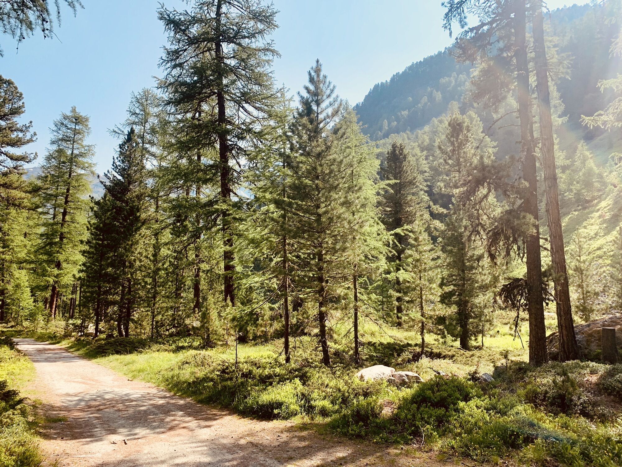
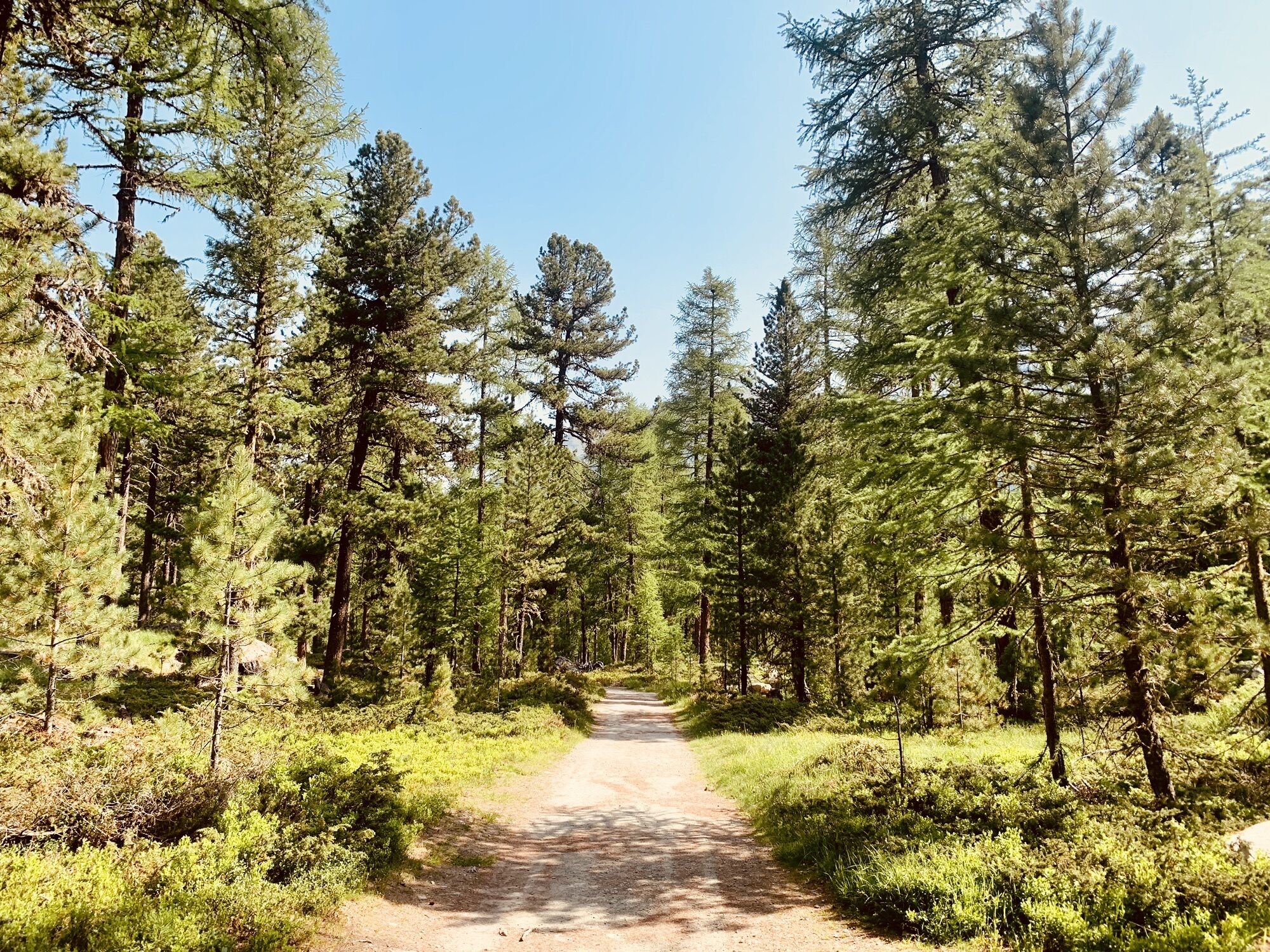


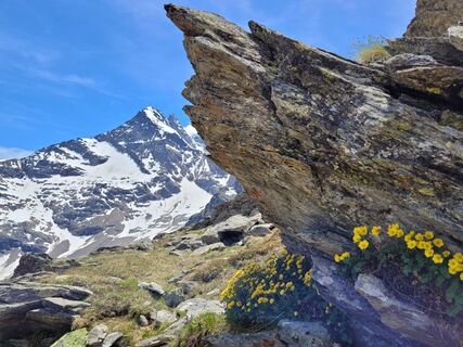
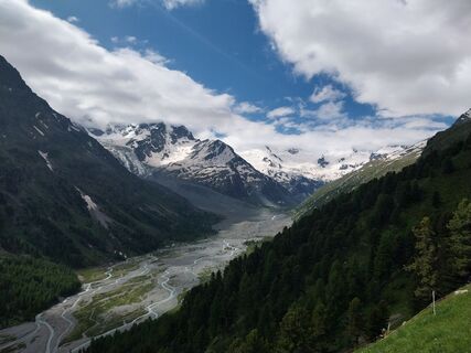
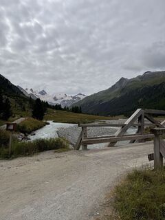
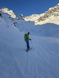
The Bernina-Tour offers wonderful views of all the glaciers in the Bernina mountain range. The route leads from Mediterranean-style Poschiavo over the Bernina Pass and the Diavolezza to Pontresina and...
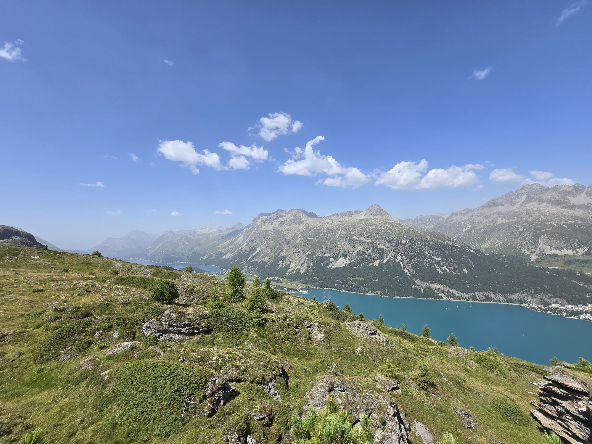
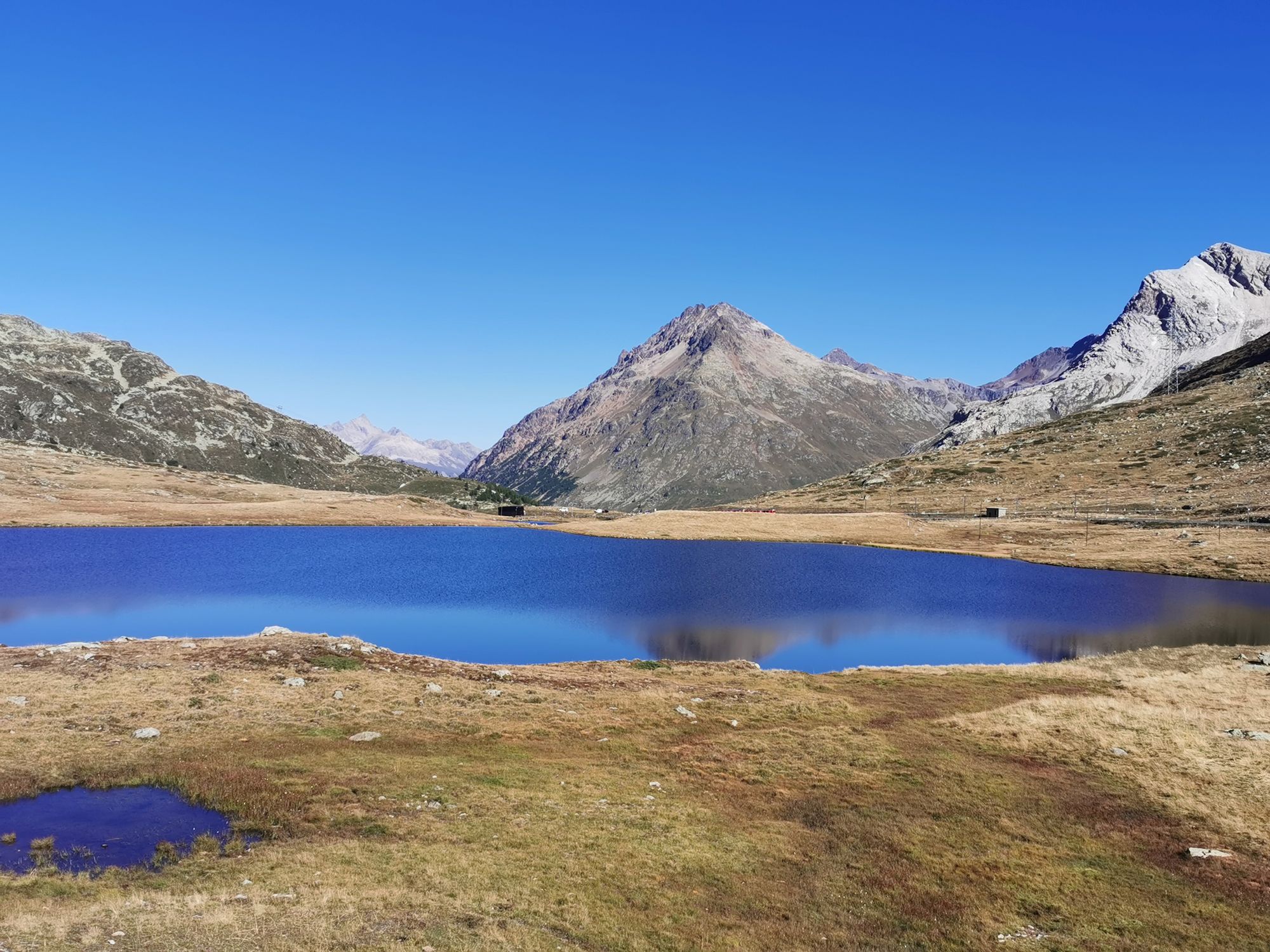
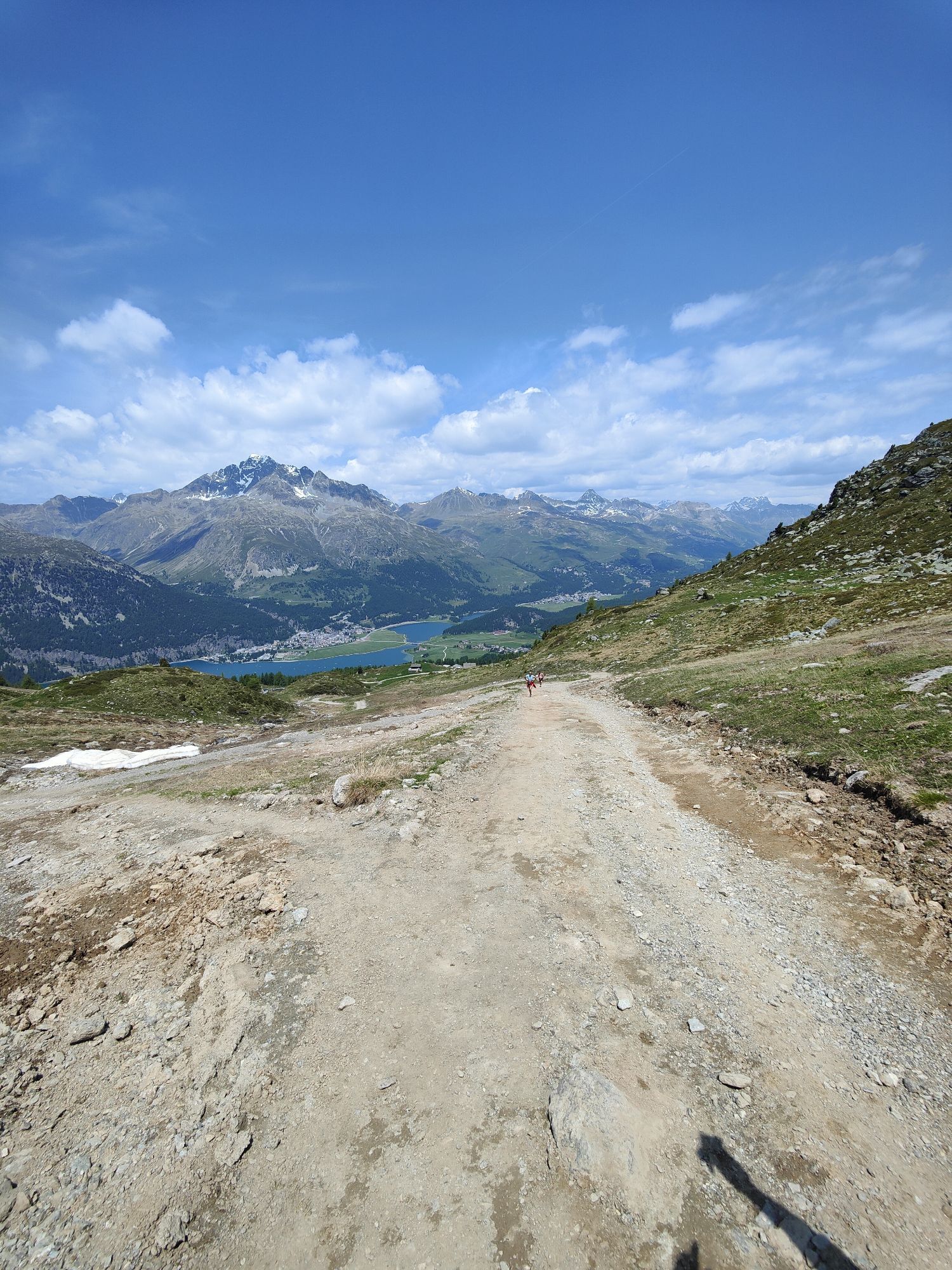
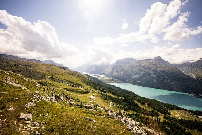
The Bernina-Tour offers wonderful views of all the glaciers in the Bernina mountain range. The route leads from Mediterranean-style Poschiavo over the Bernina Pass and the Diavolezza to Pontresina and then further up to the Fuorcla Surlej. it offers views of the Engadin’s lake-strewn landscape as you make your way to Maloja, which serves as the end point of this varied hike.
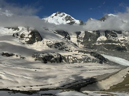
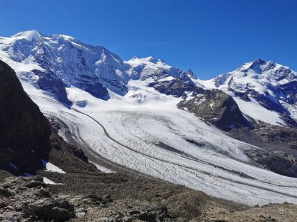
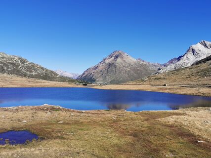
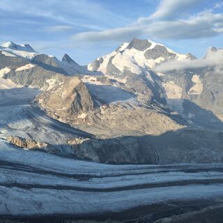
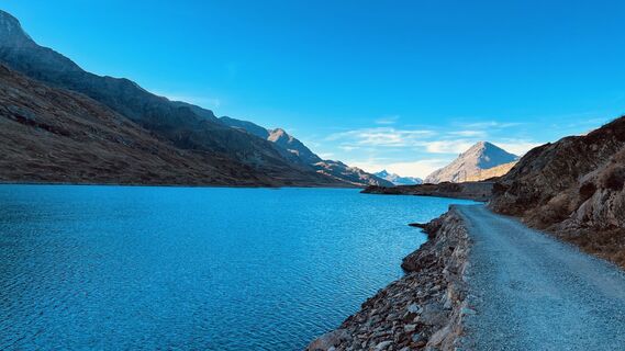
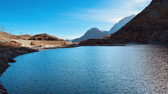
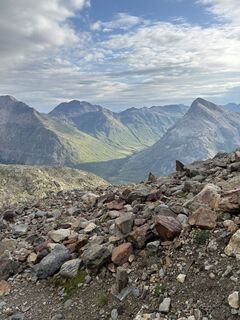
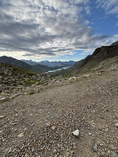
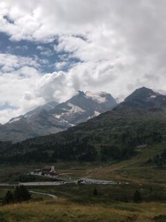
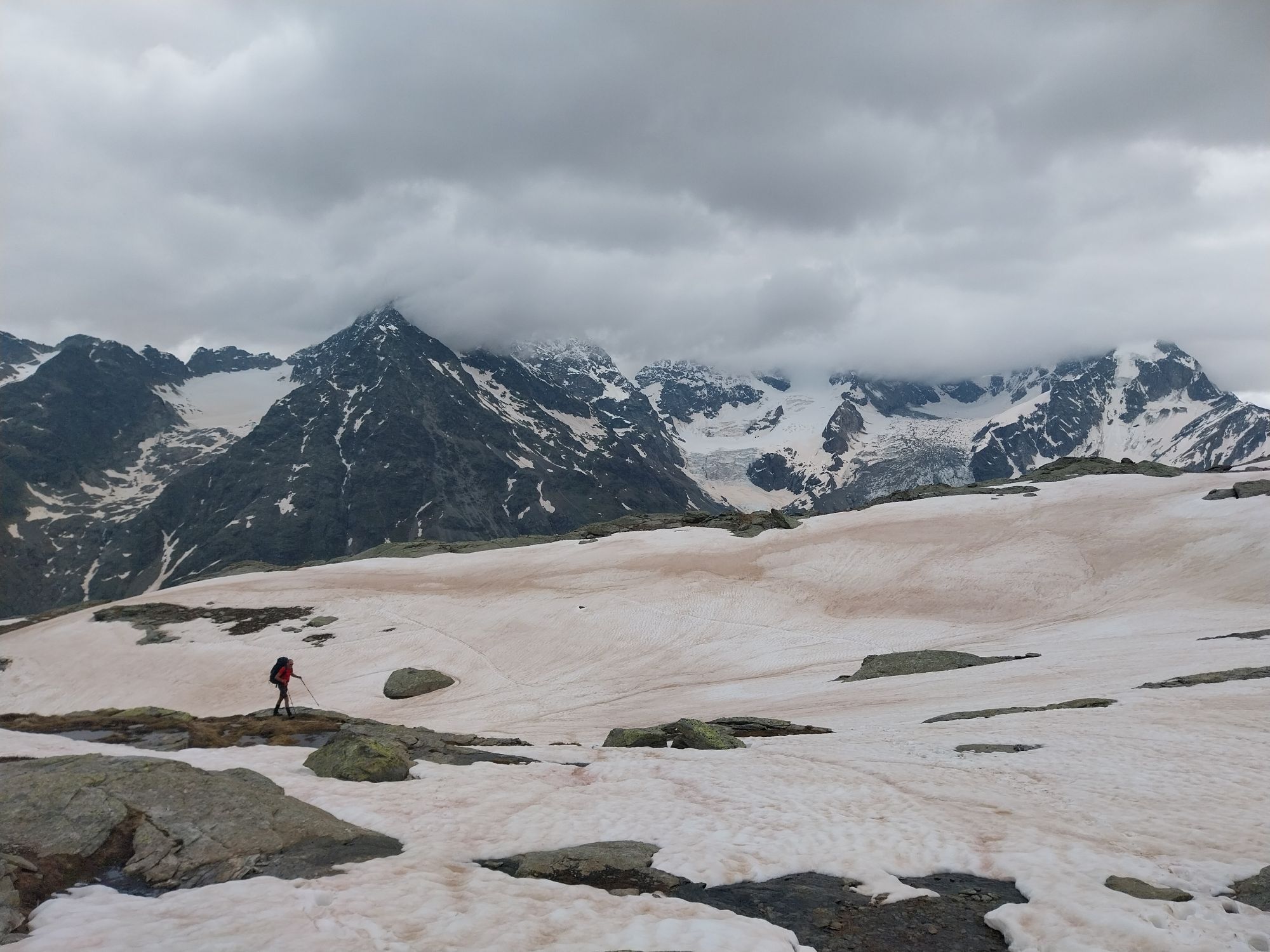
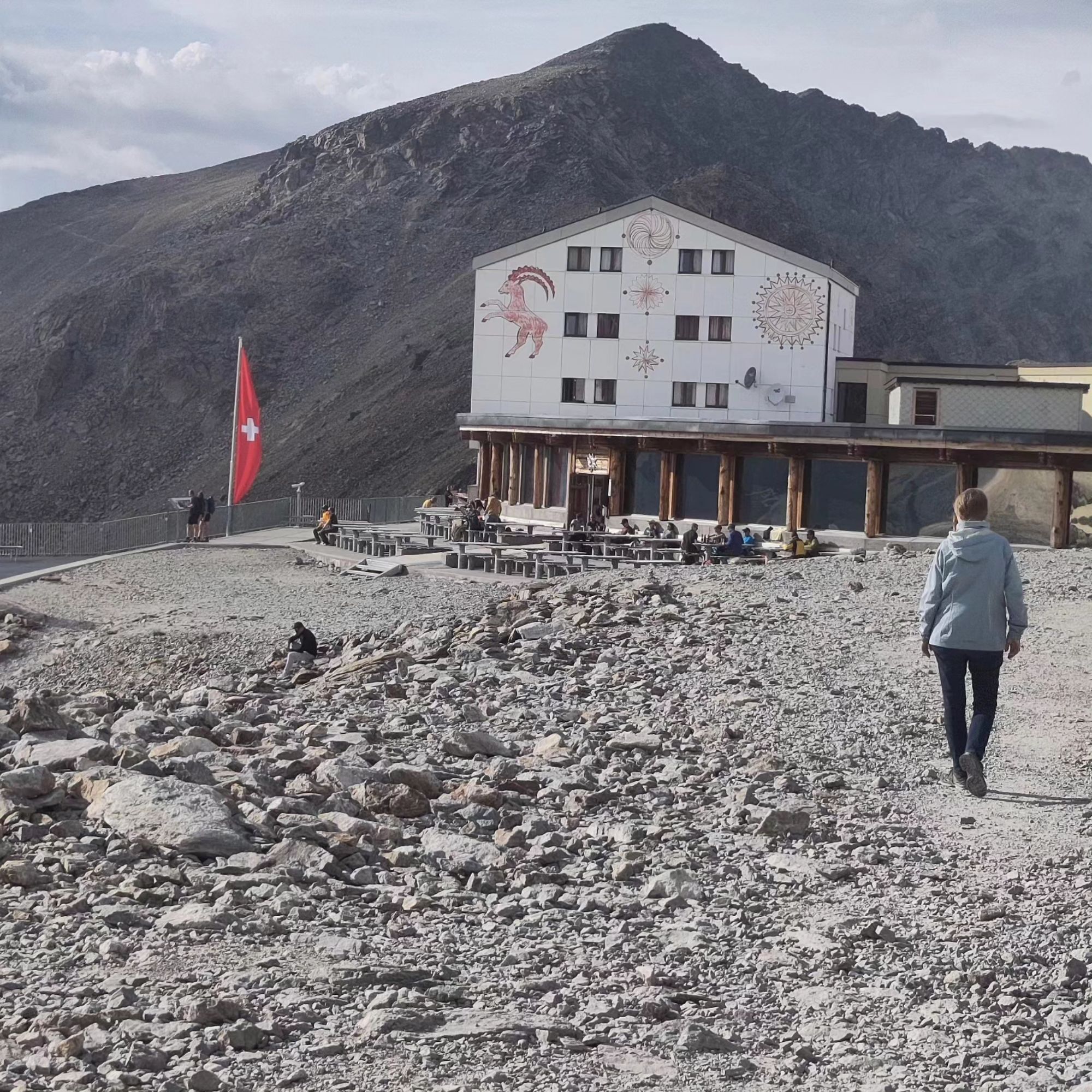
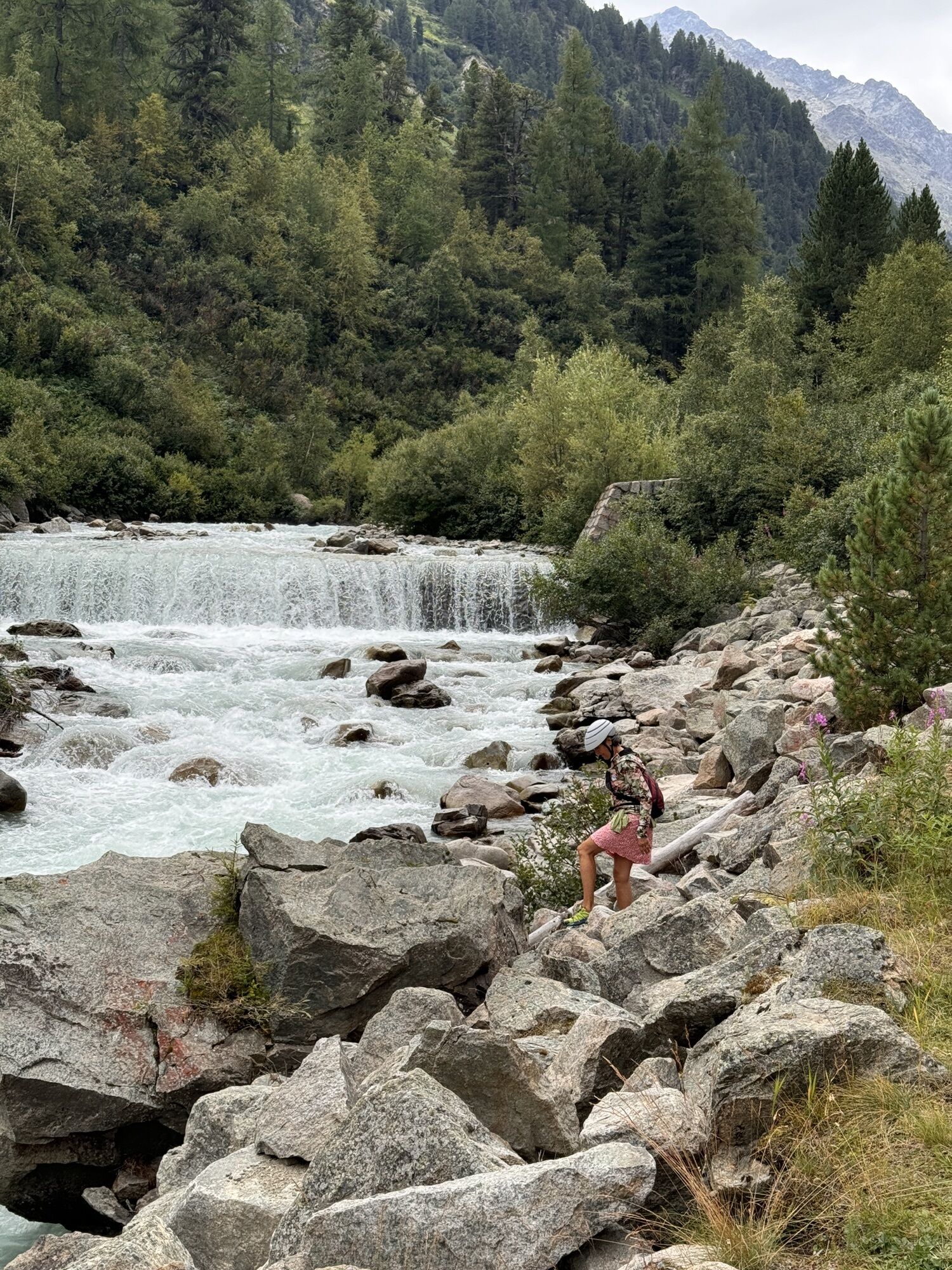
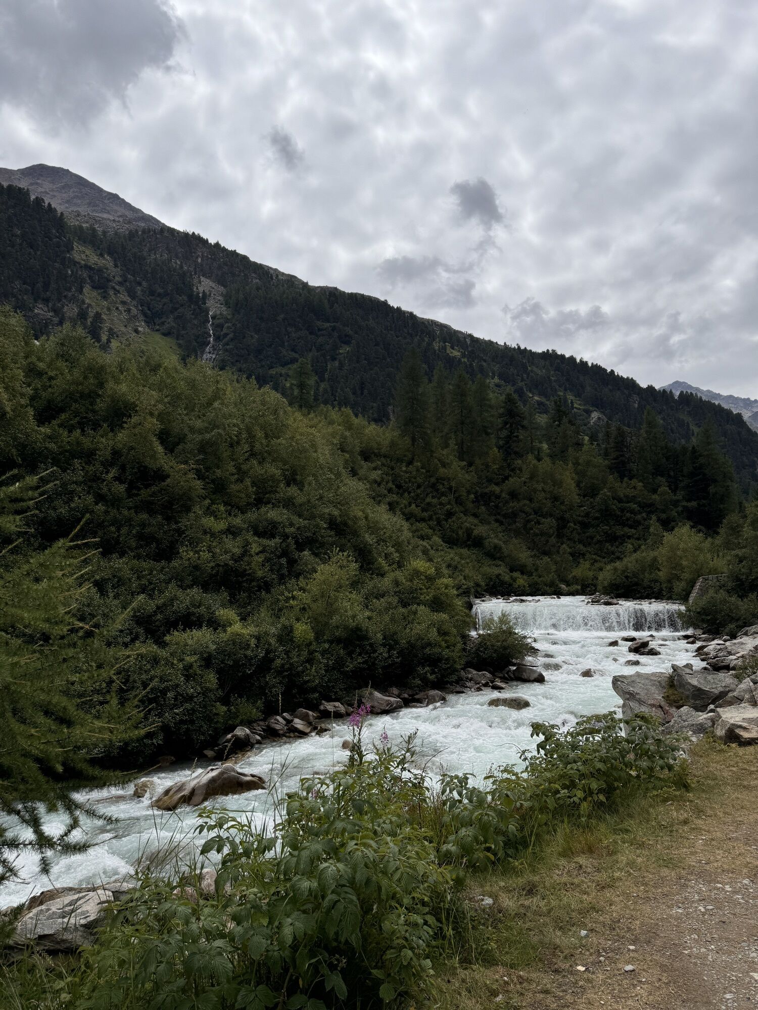
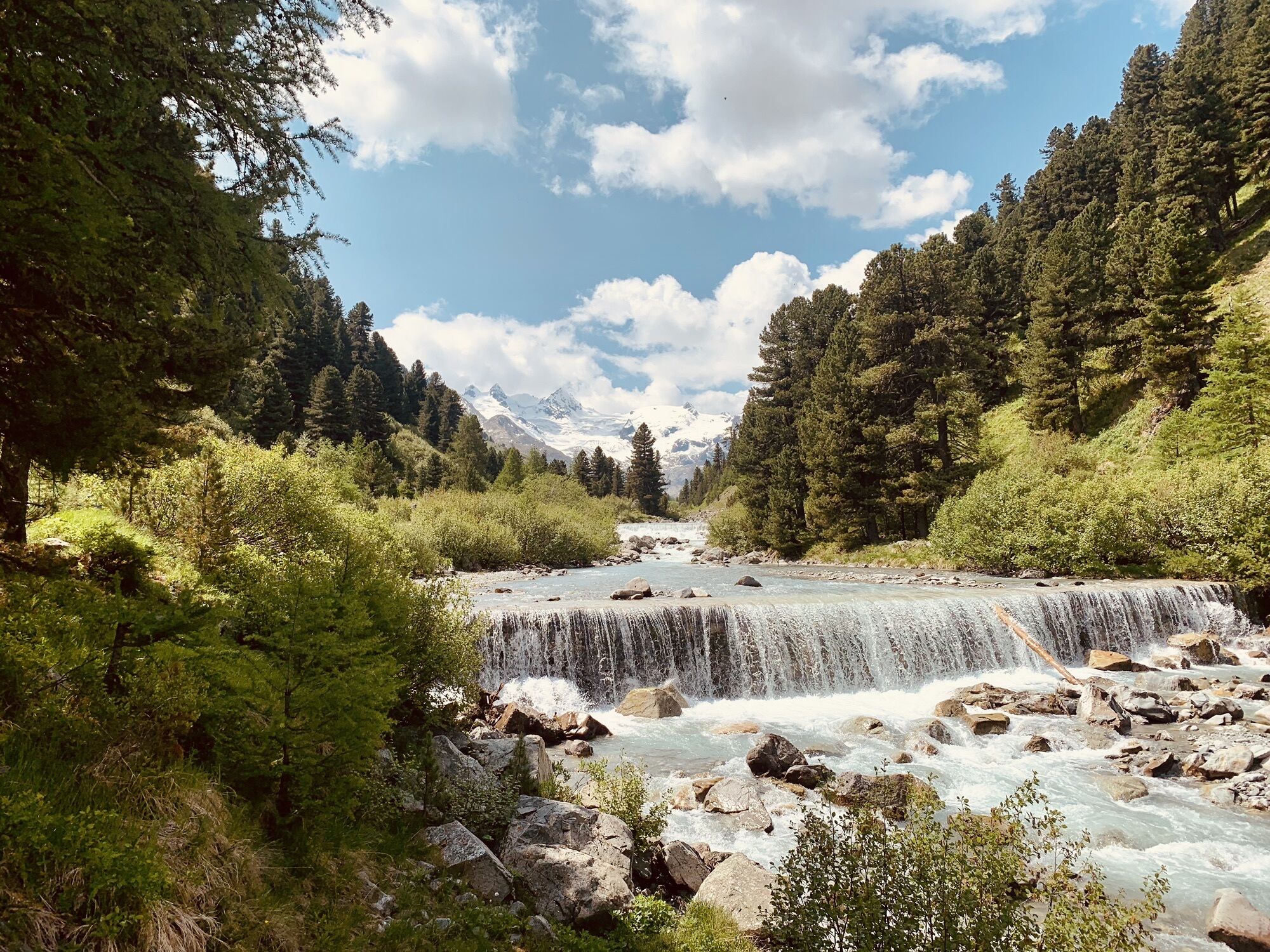
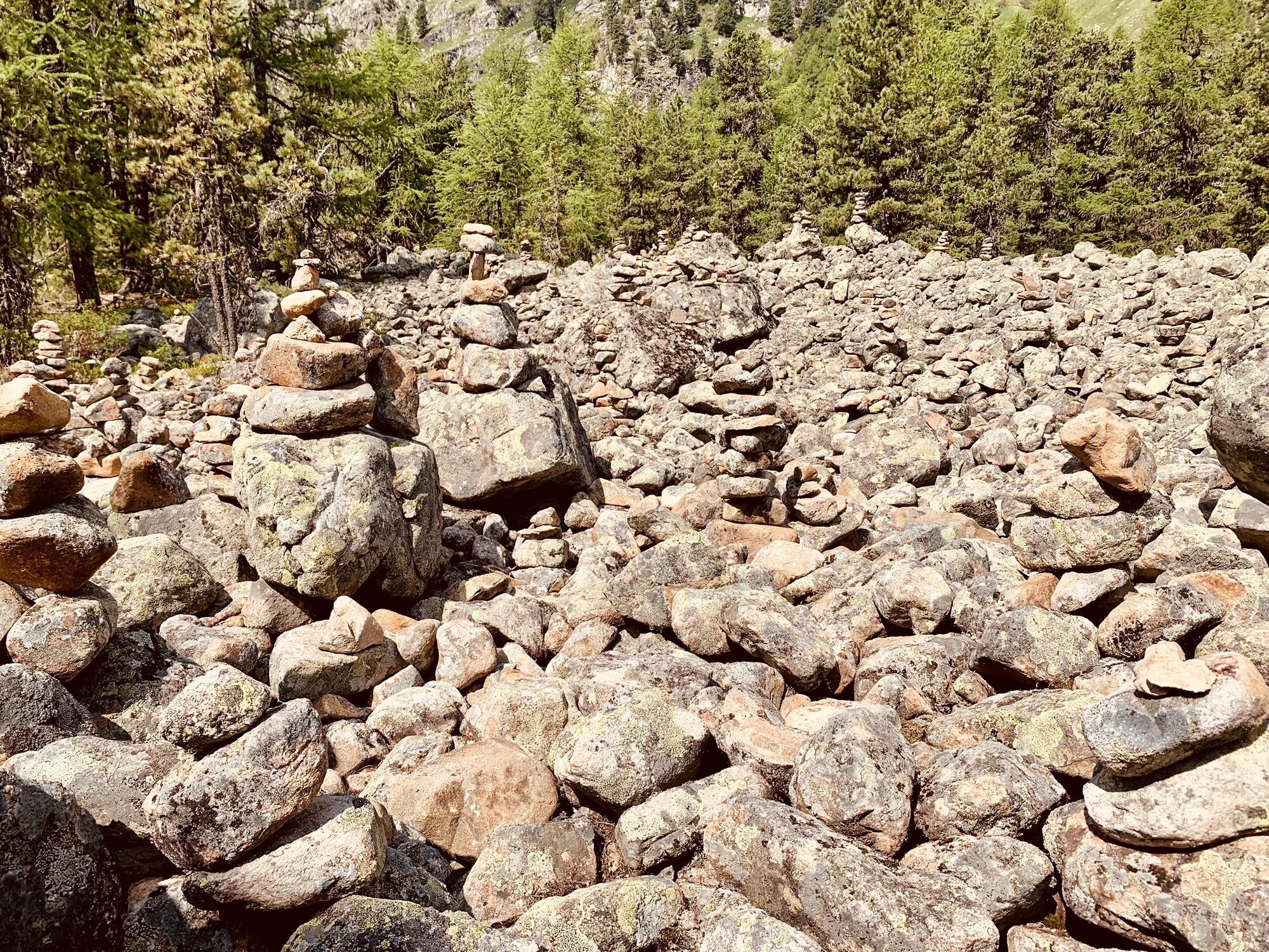
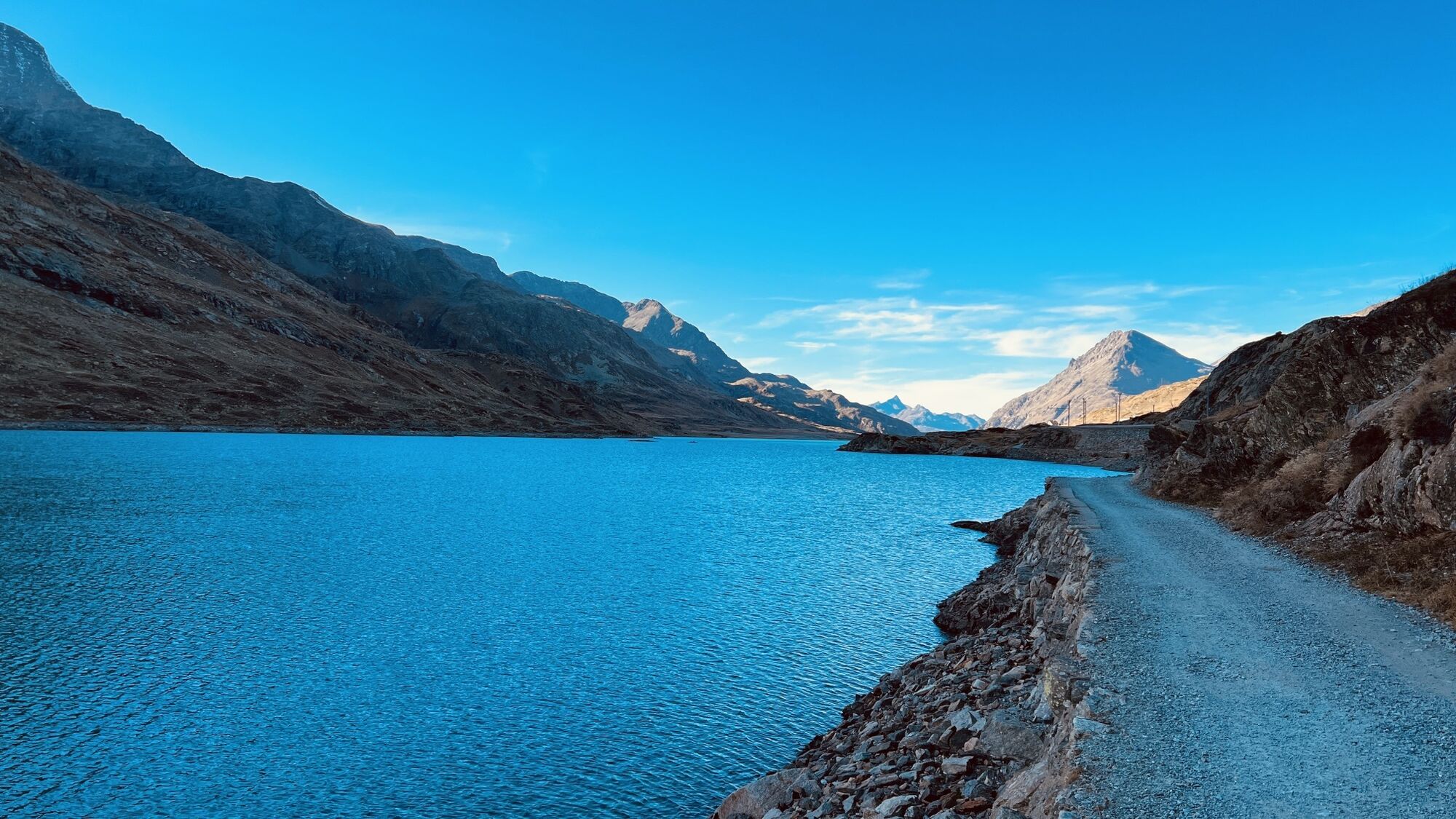
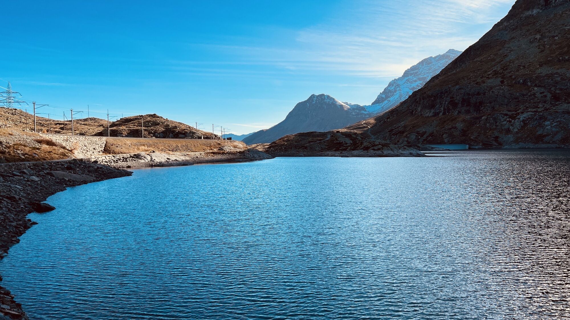
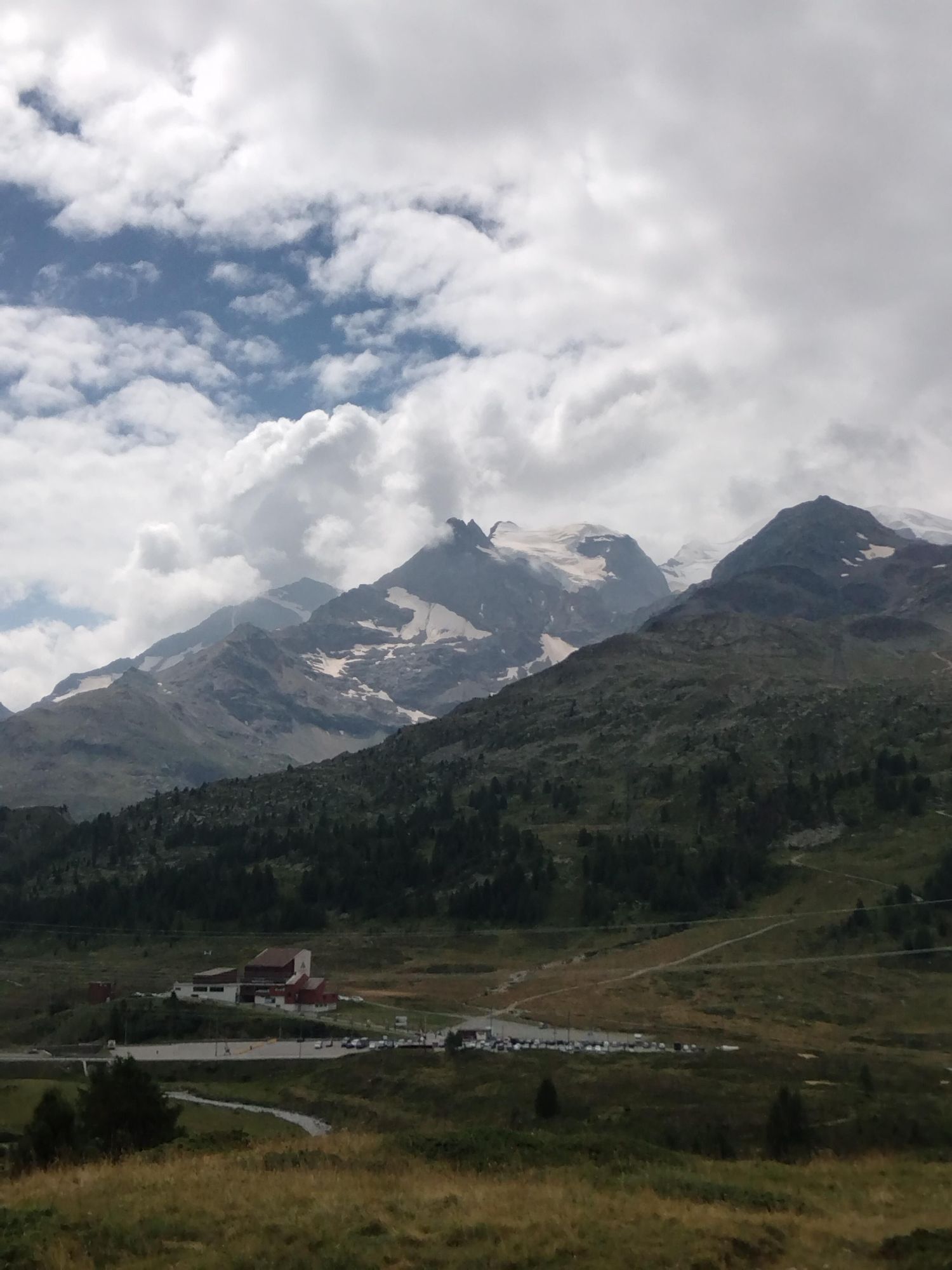
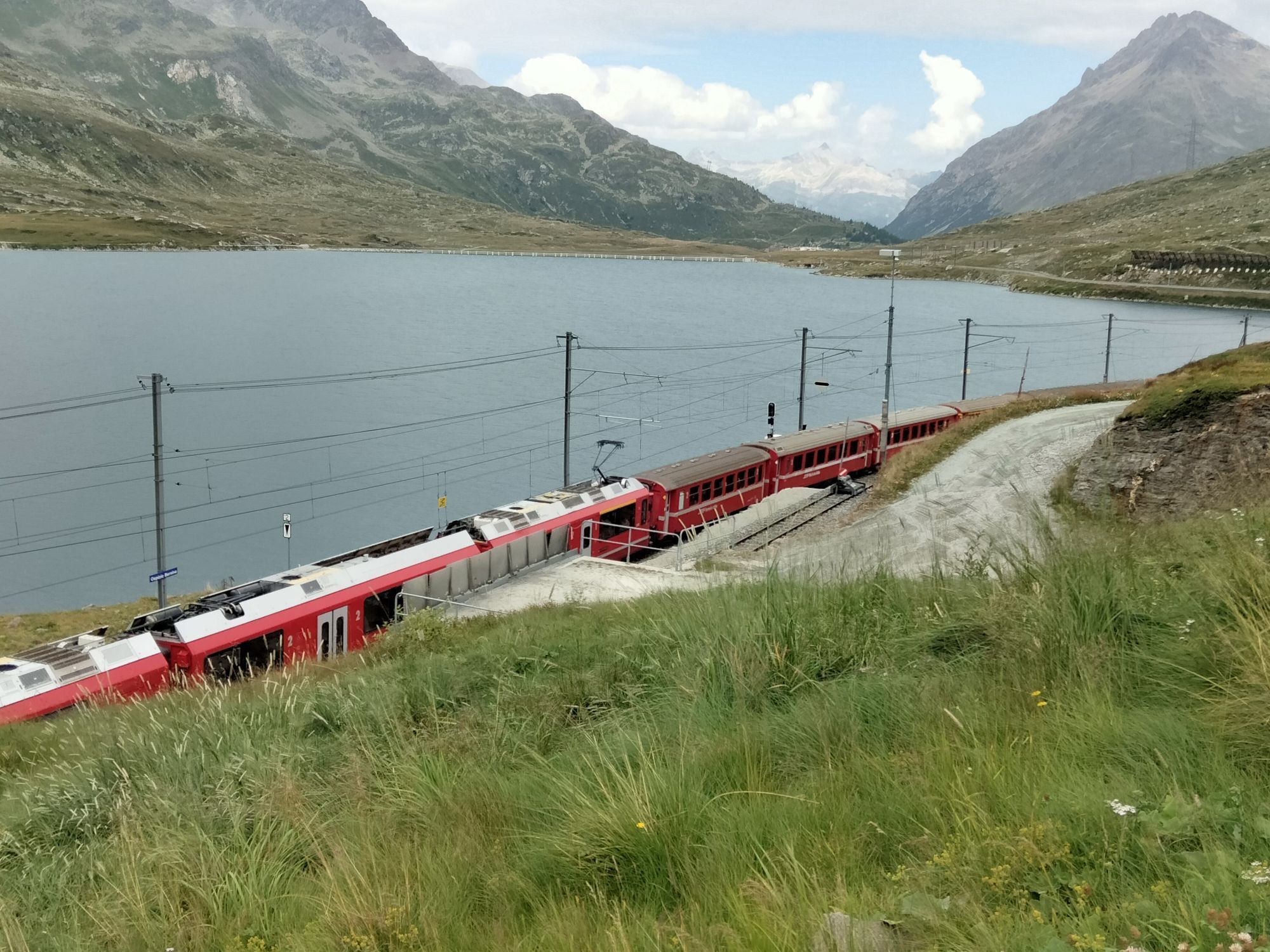
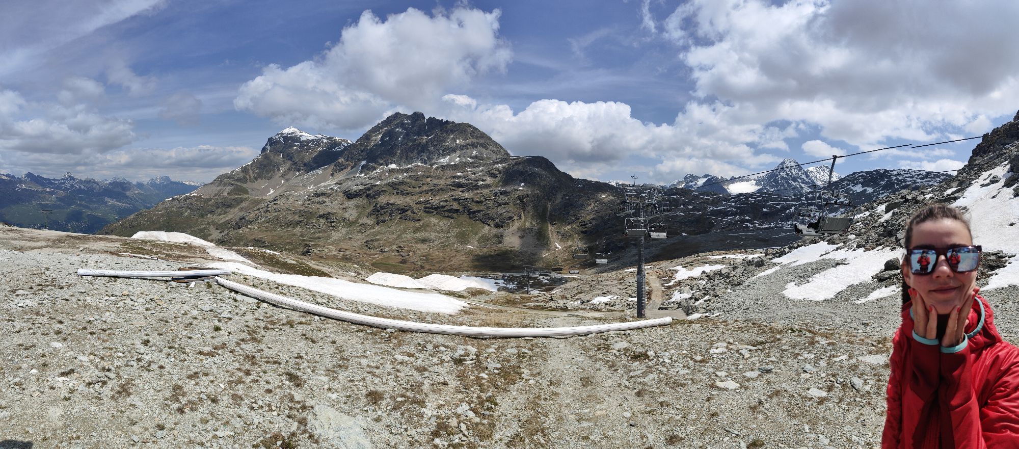
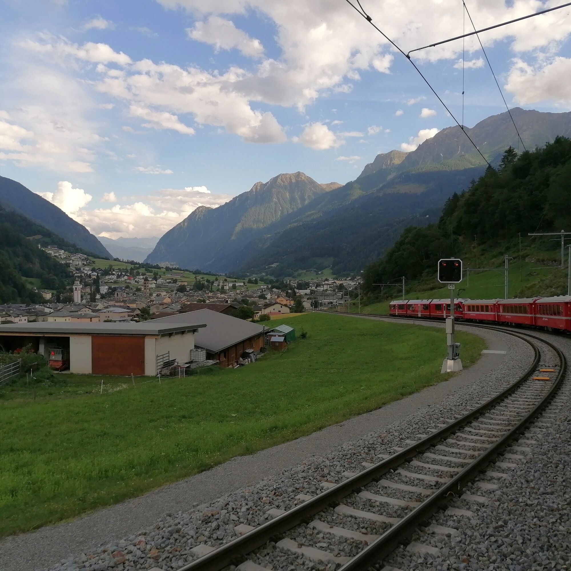
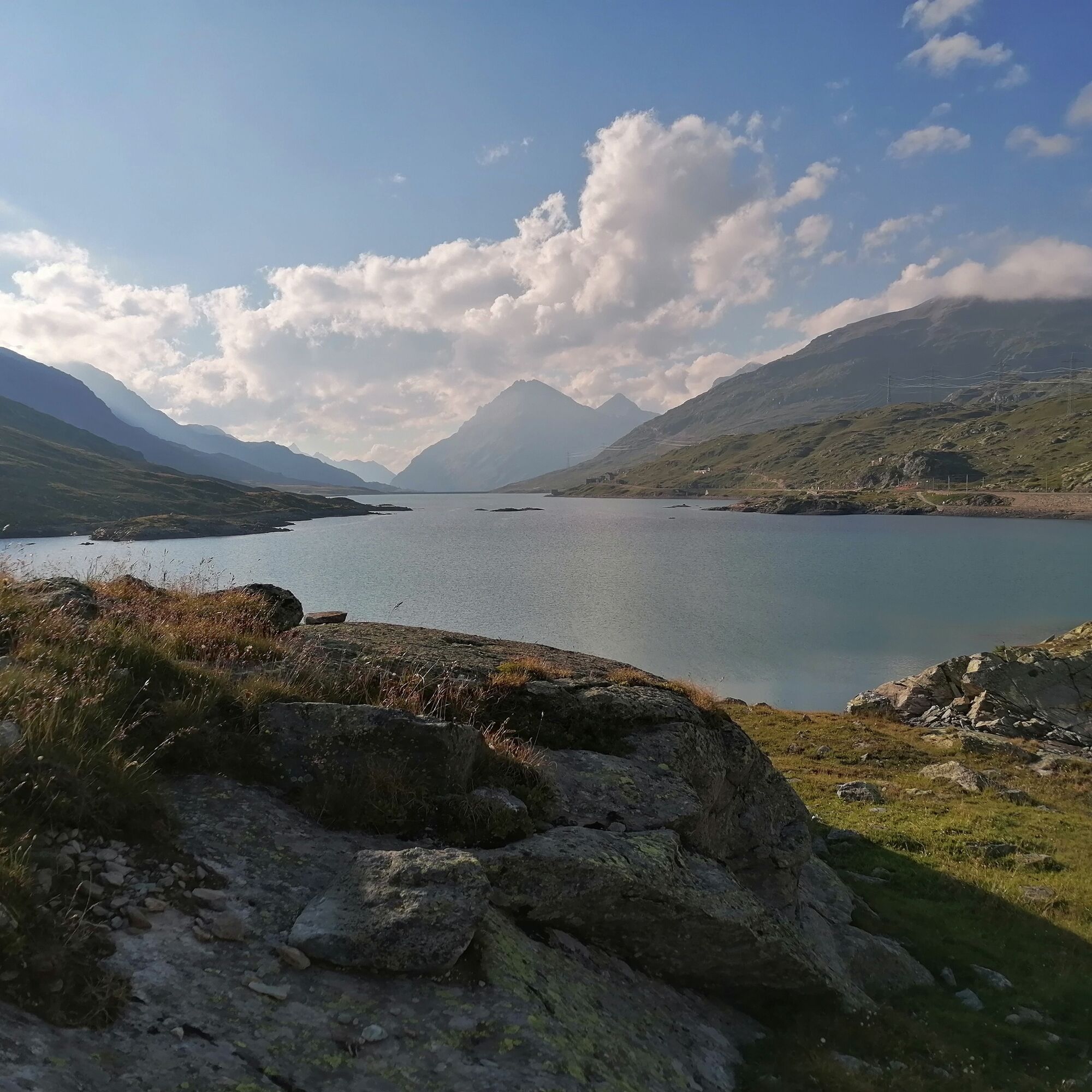
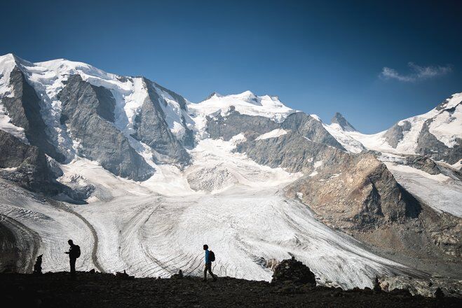
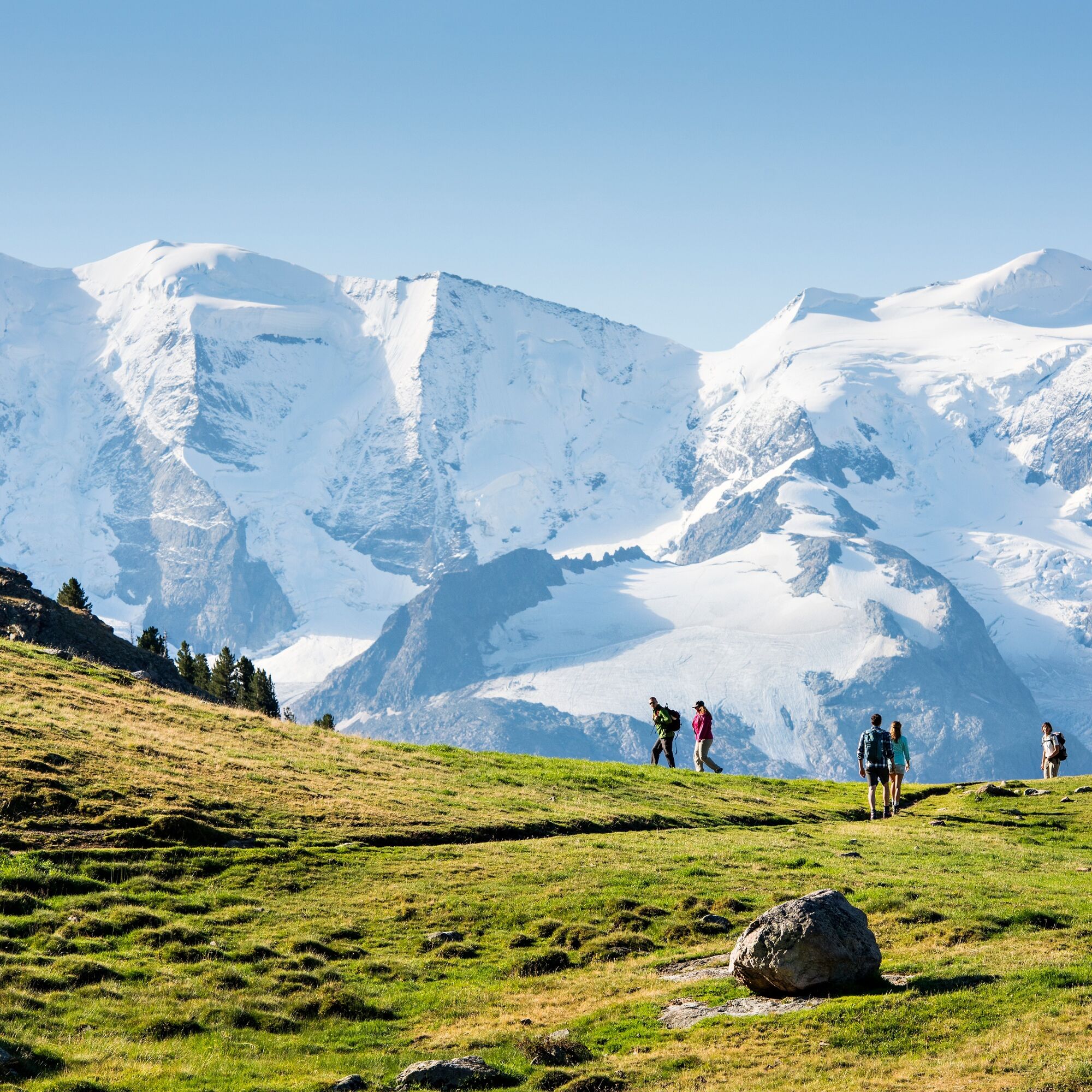
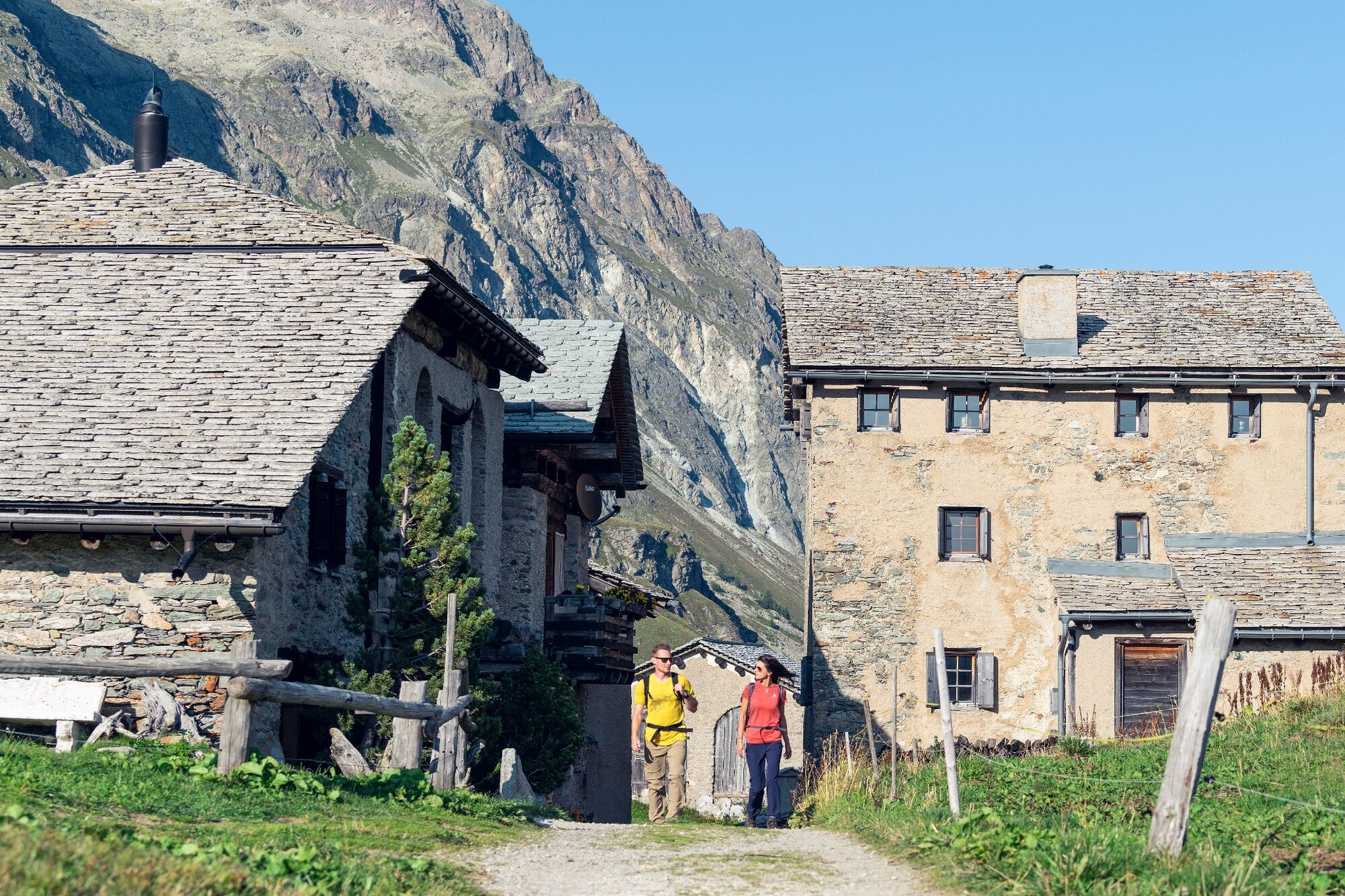
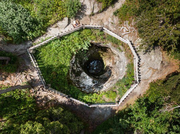
The tour begins in Poschiavo, at 1,021 metres above sea level, and leads along the UNESCO World Heritage line of the Rhaetian Railway up to the Bernina Pass at 2,328 metres. It goes via the Cavaglia Glacier Garden with its glacial mills and Alp Grüm, which provides the first view of the eastern flanks of the Bernina massif. The wide, flat path along the Lago Bianco gives the opportunity to take a breather and loosen up their muscles for the further 1,000 metres of altitude up to Munt Pers at 3,207 metres above sea level - a climb that is rewarded with a breathtaking view of the Pers and Morteratsch glaciers.
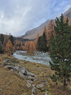
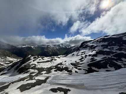
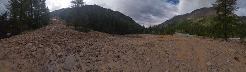
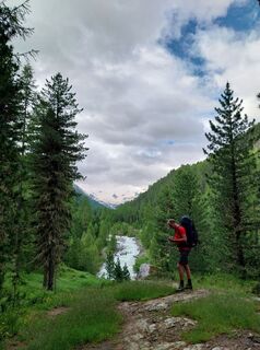
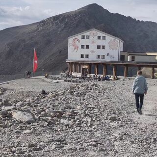
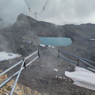
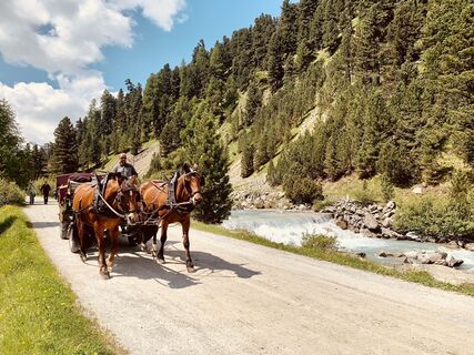
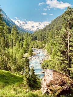
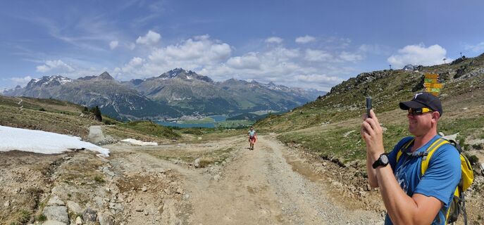
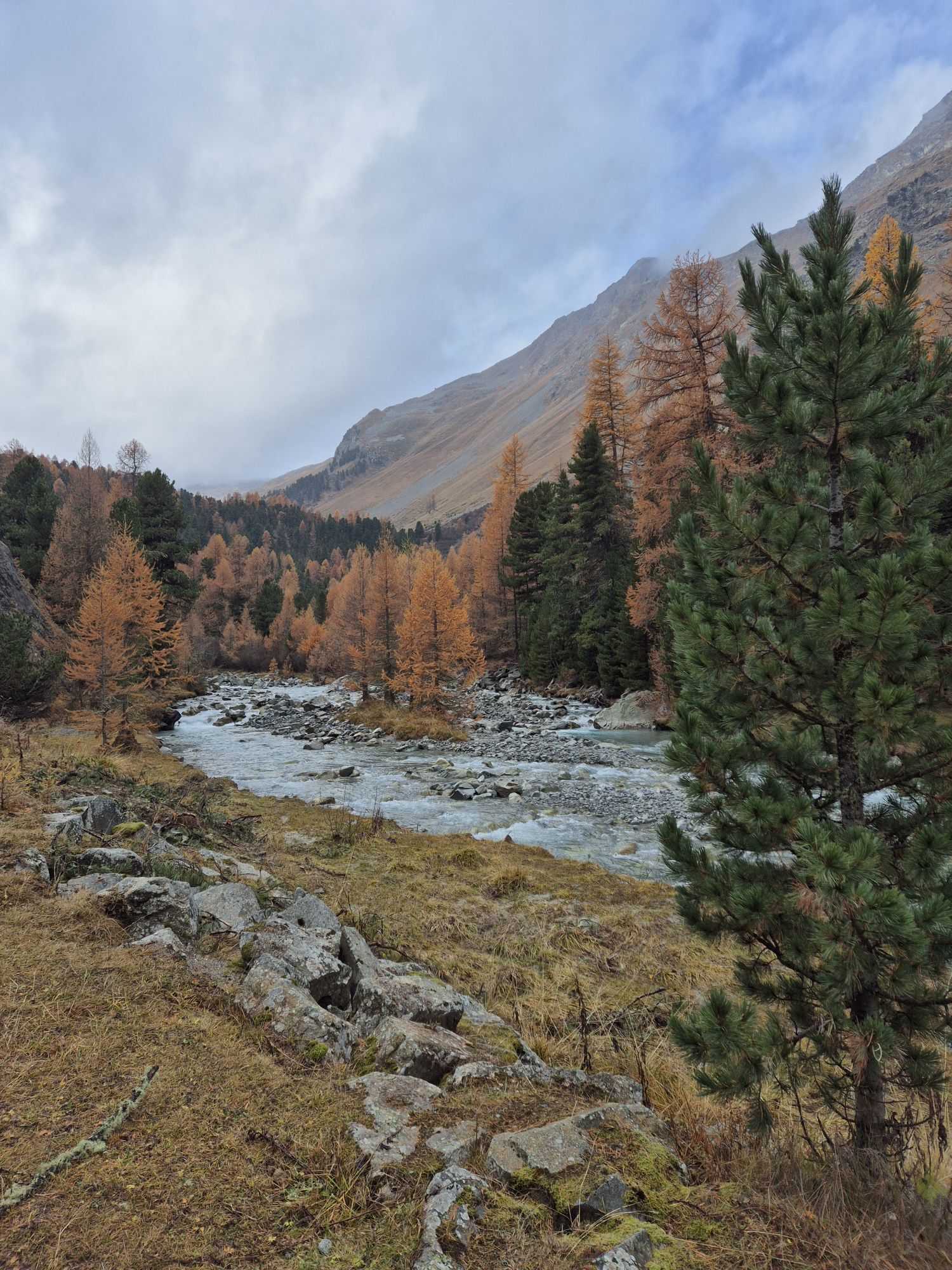
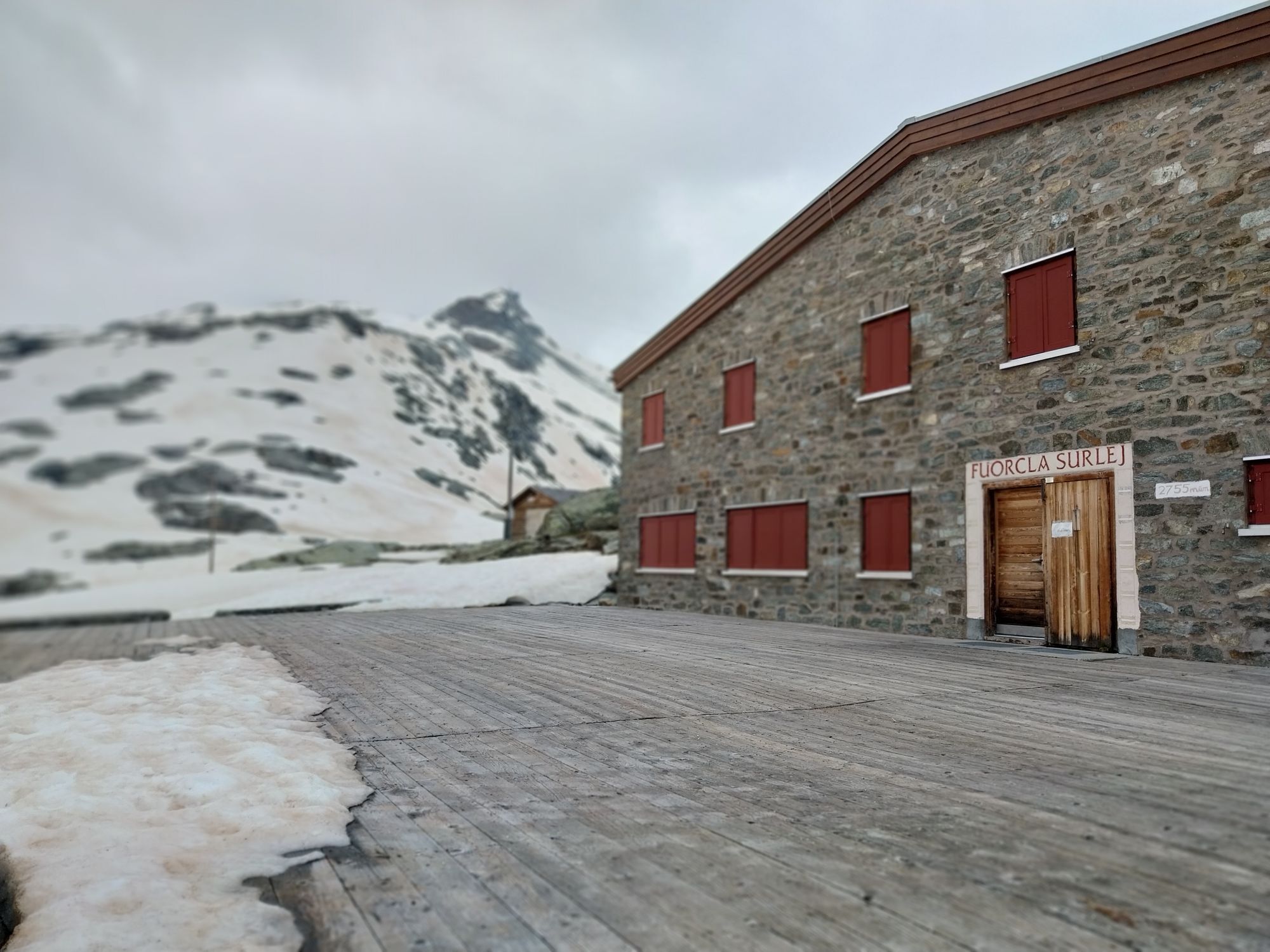
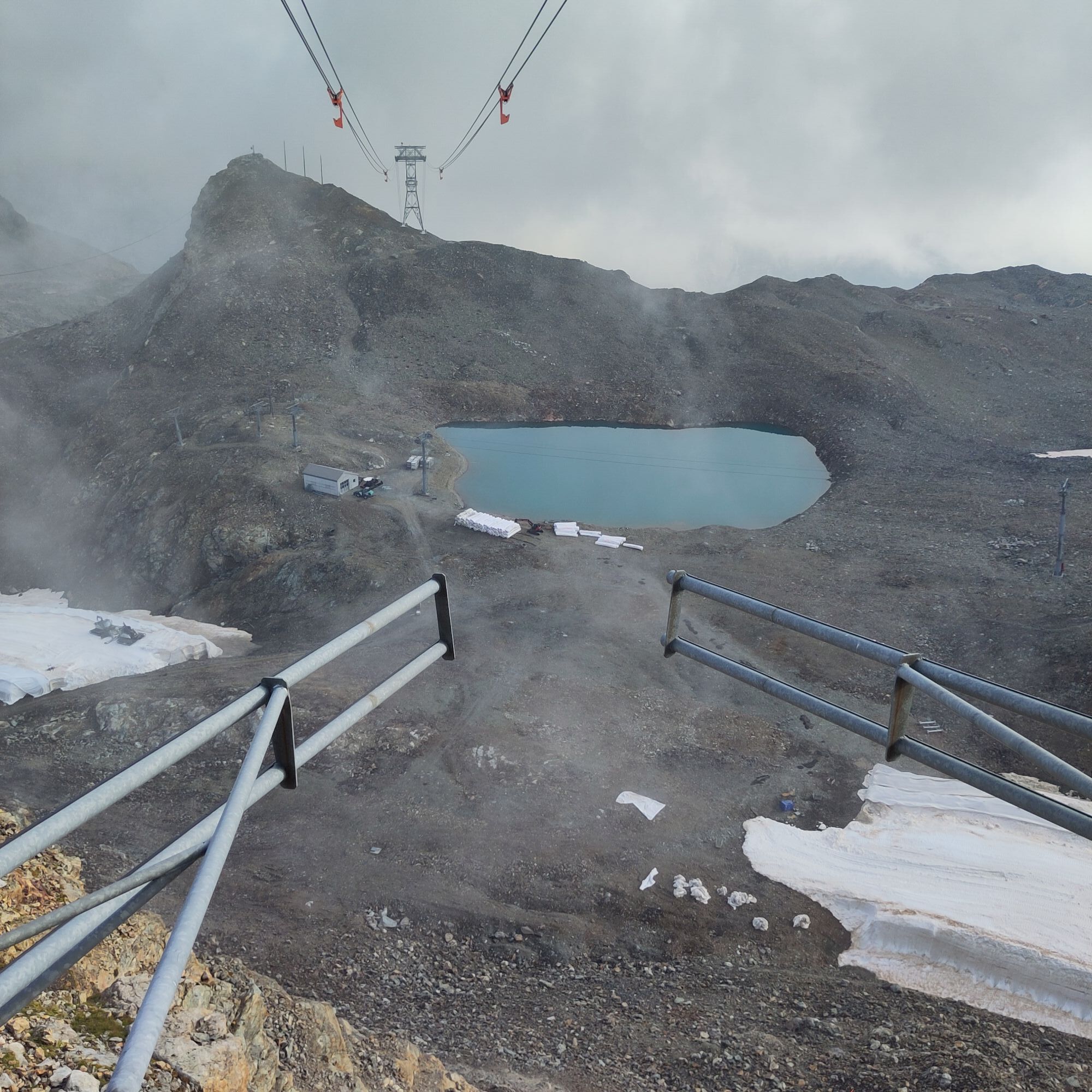
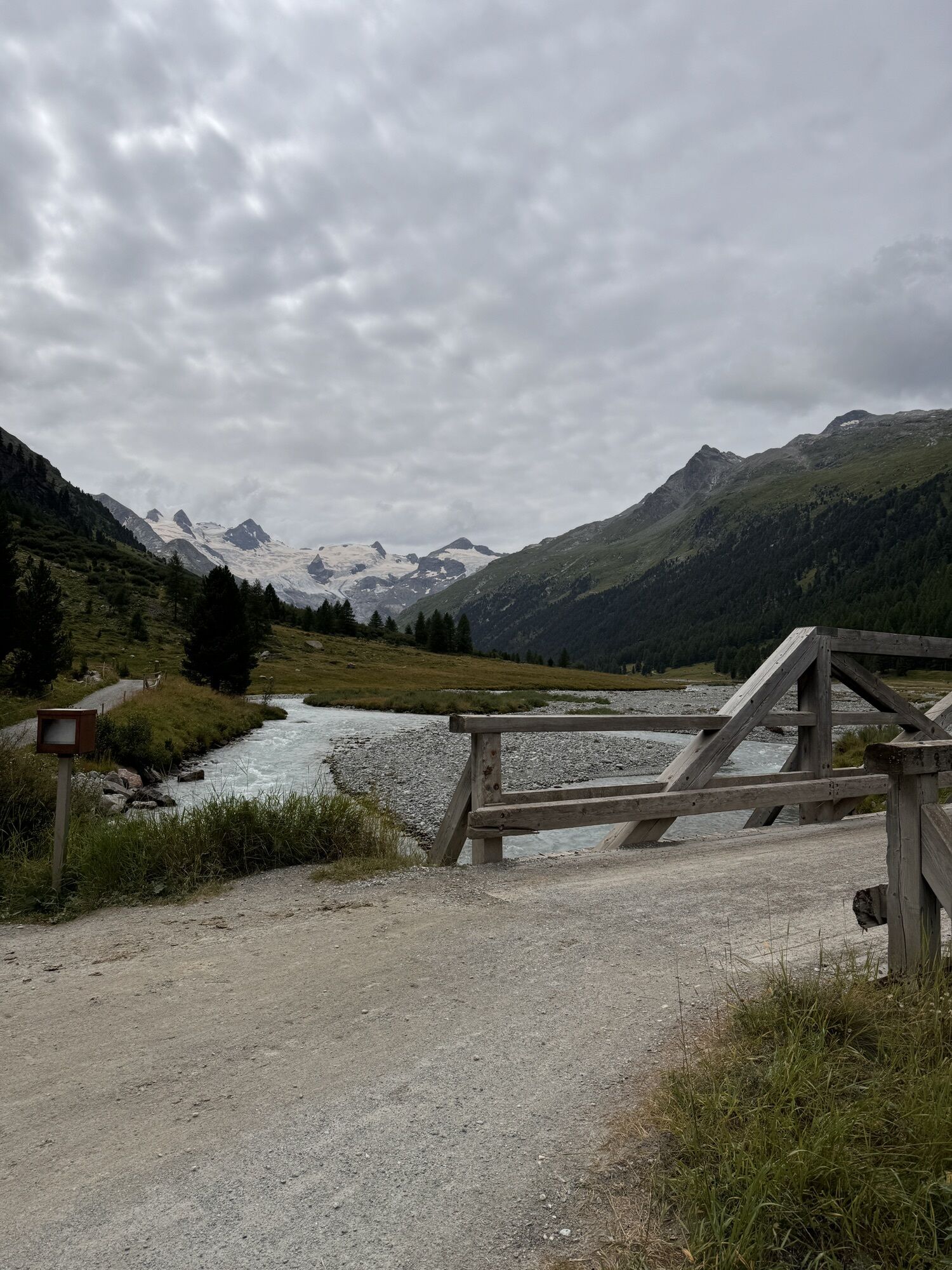
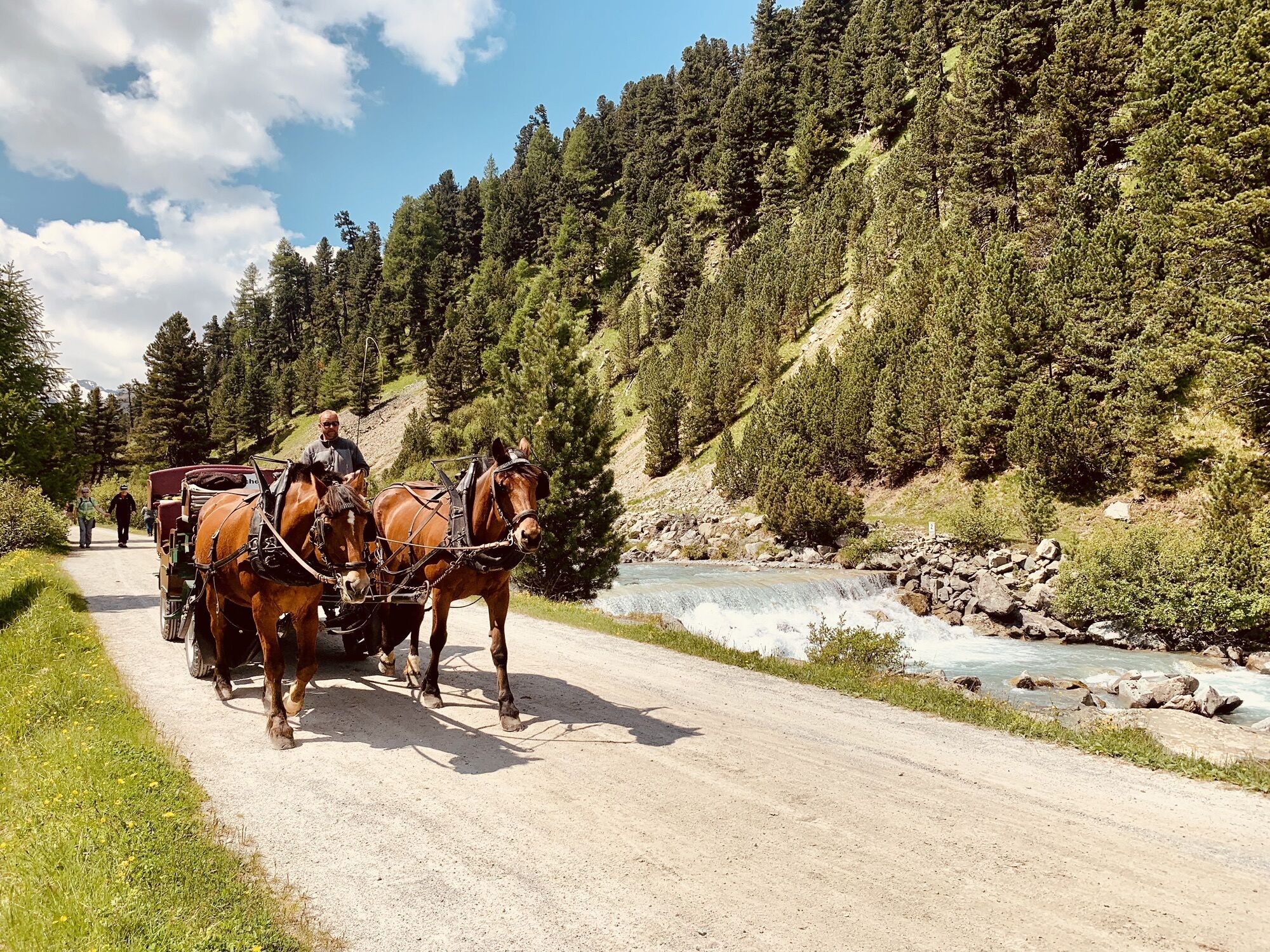
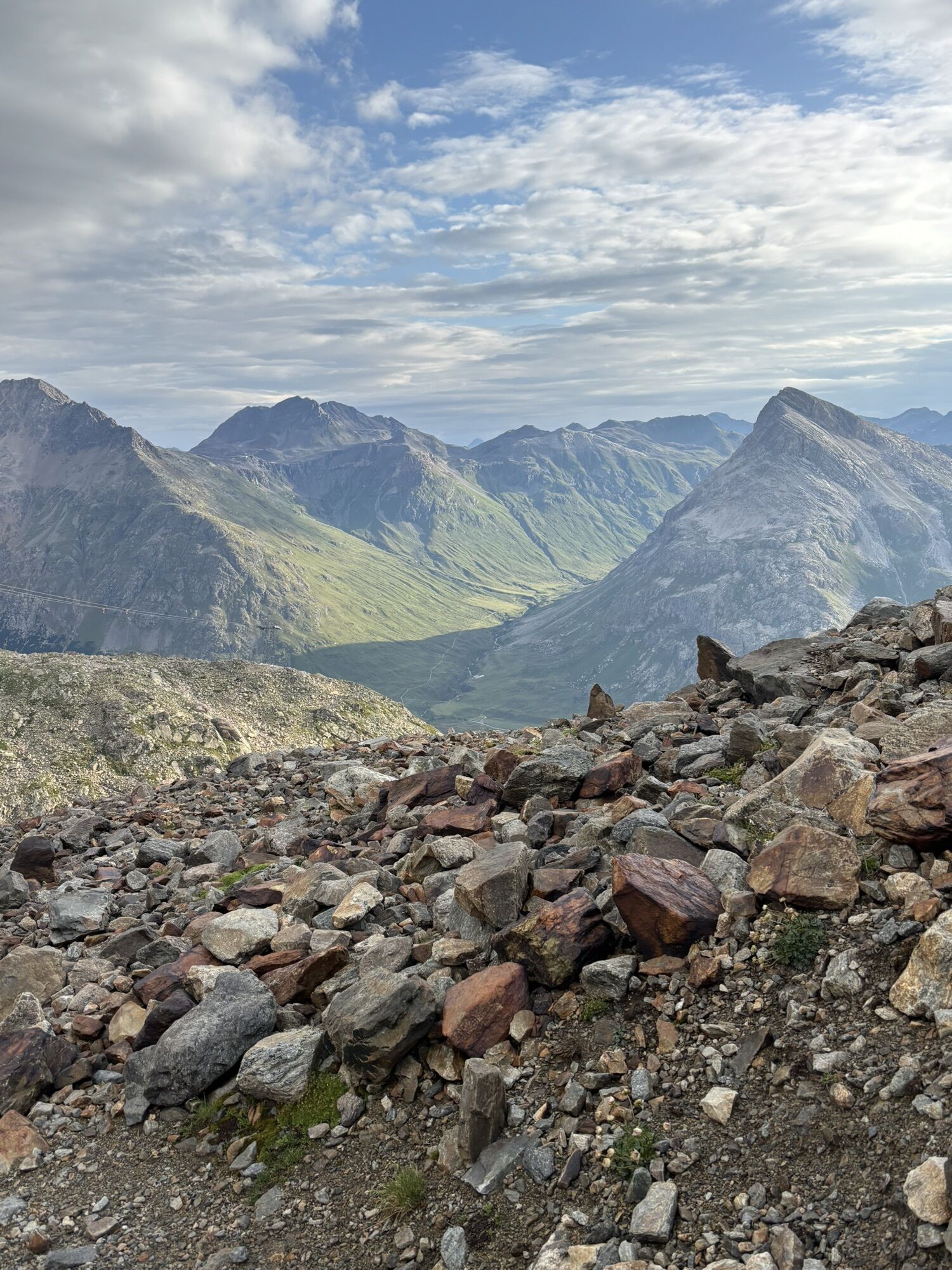
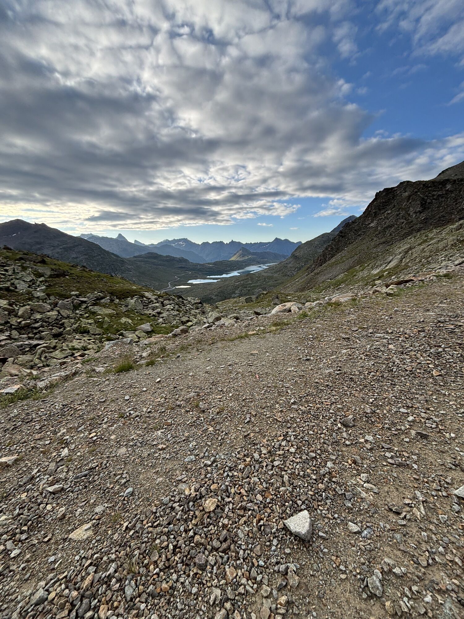
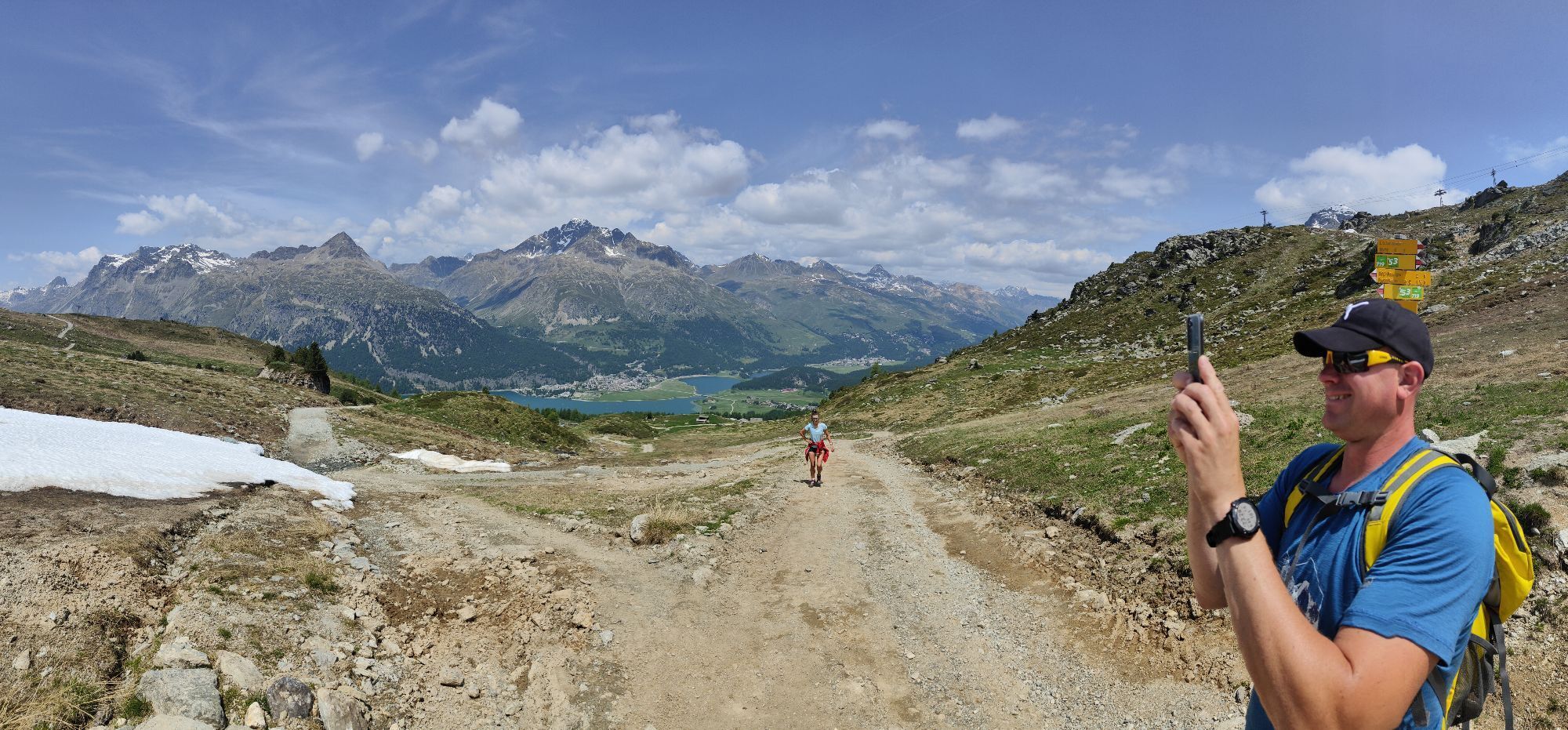
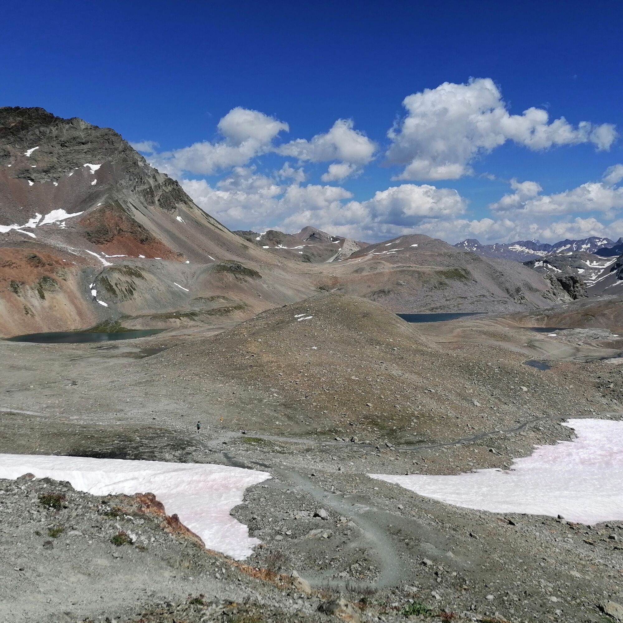
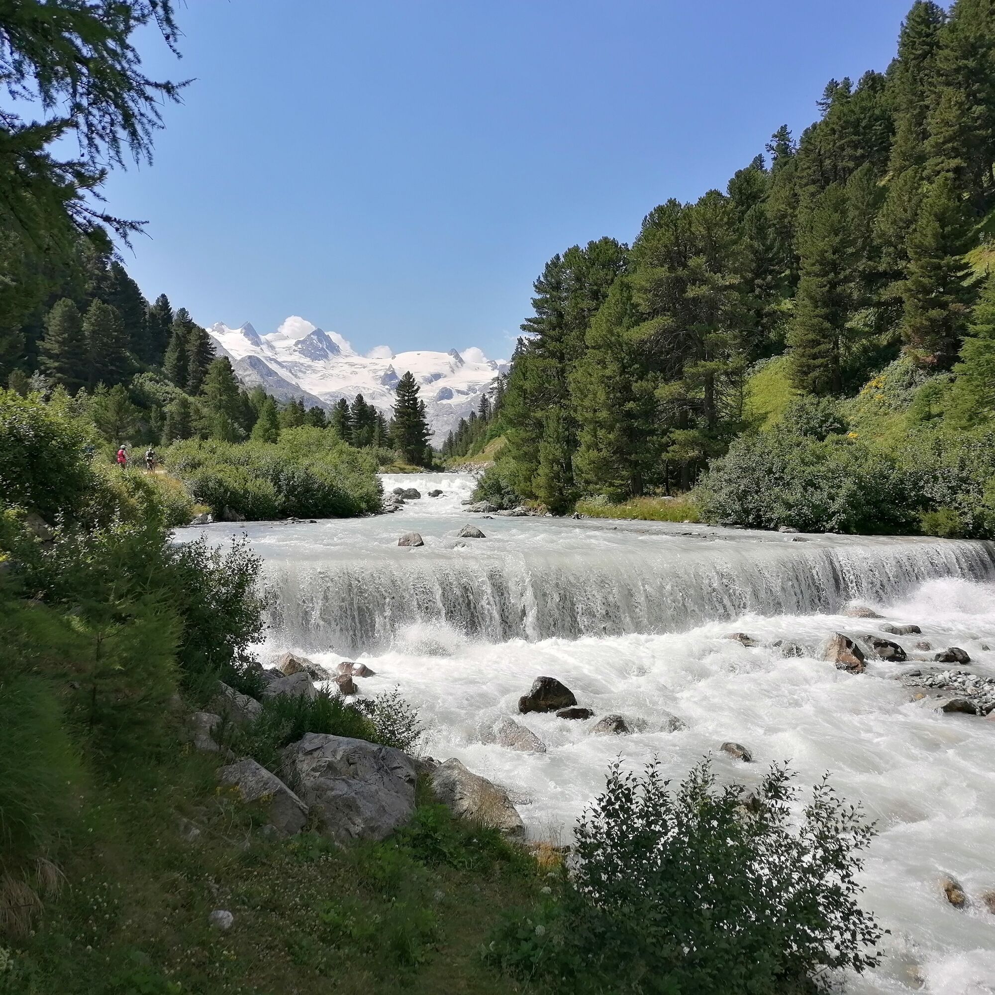
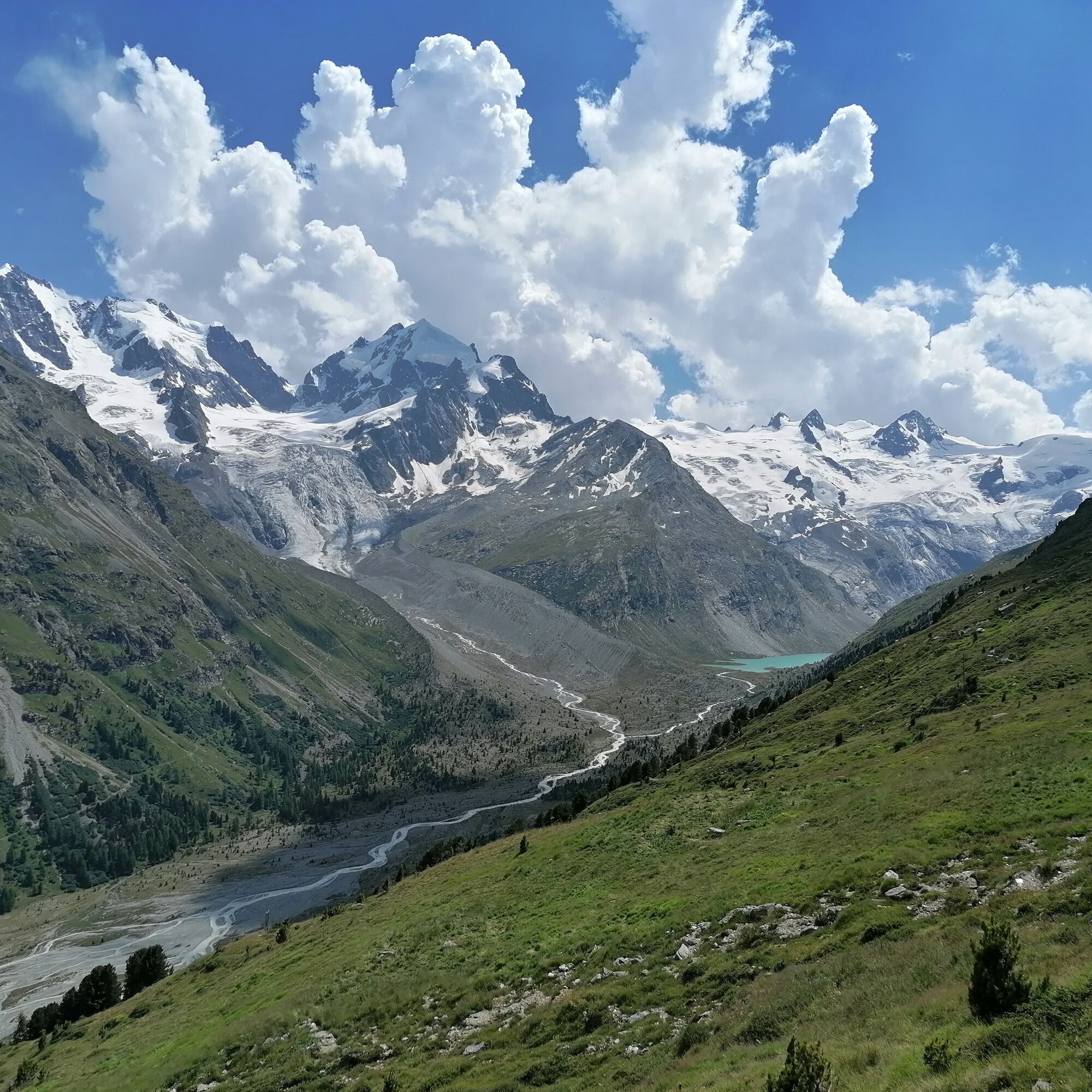
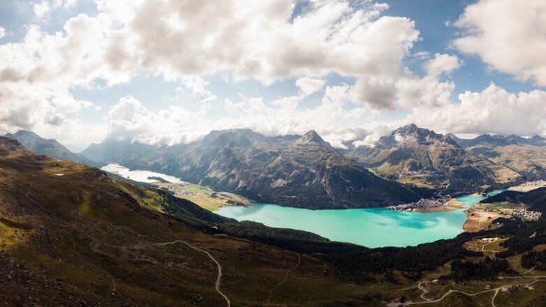
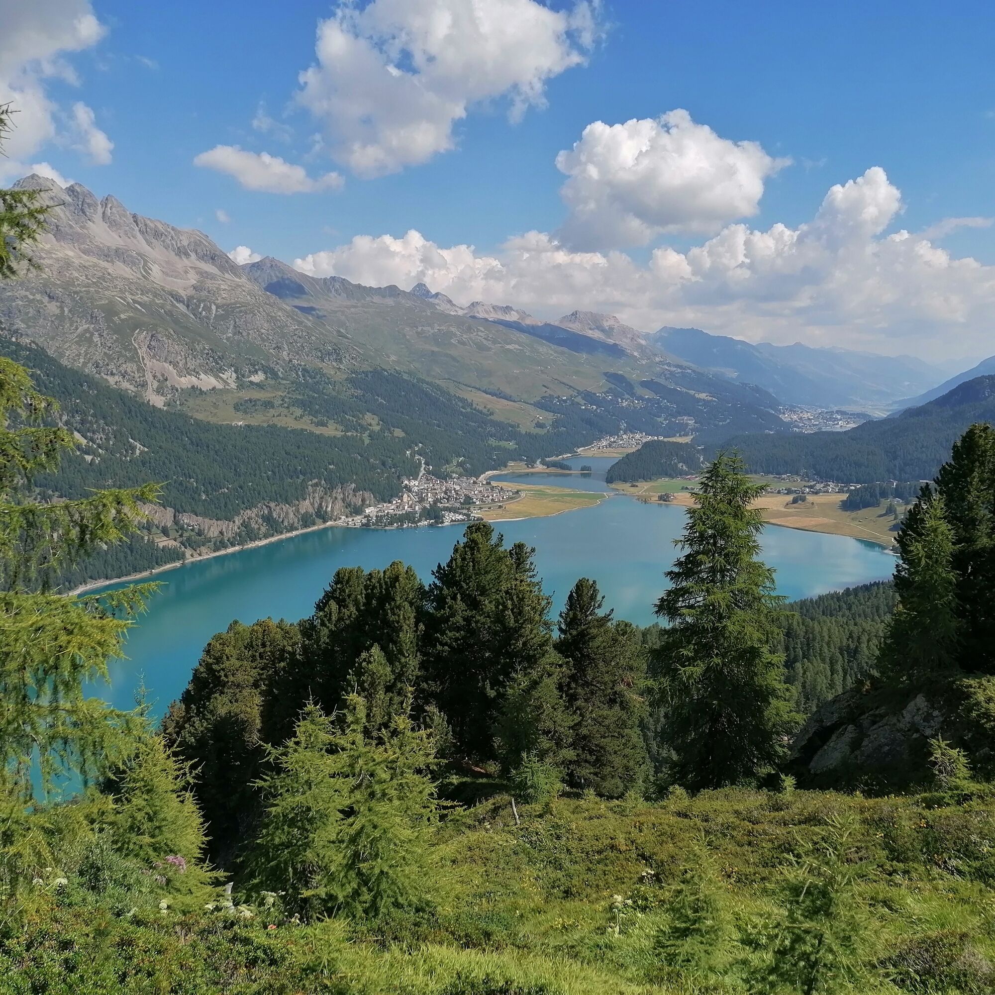
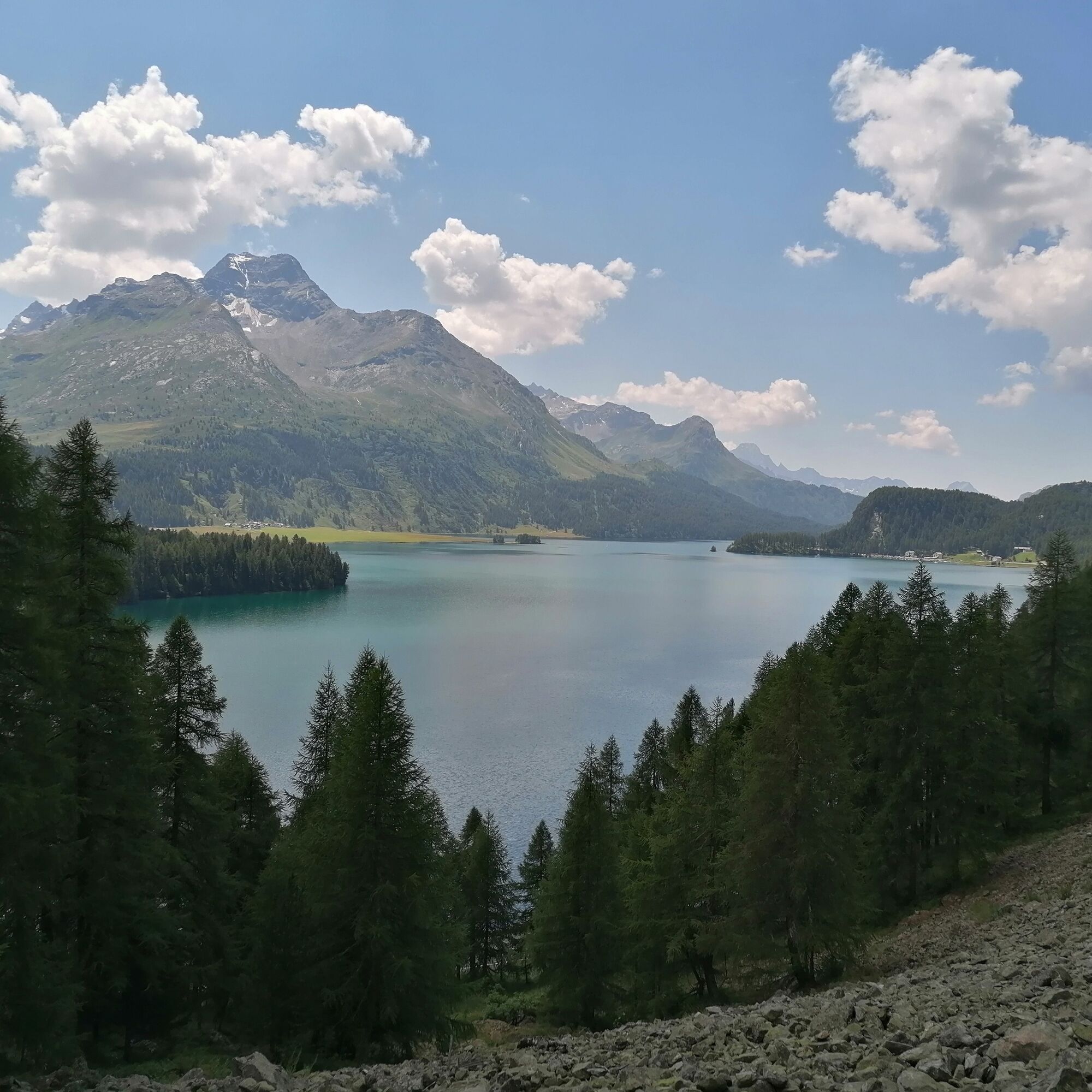
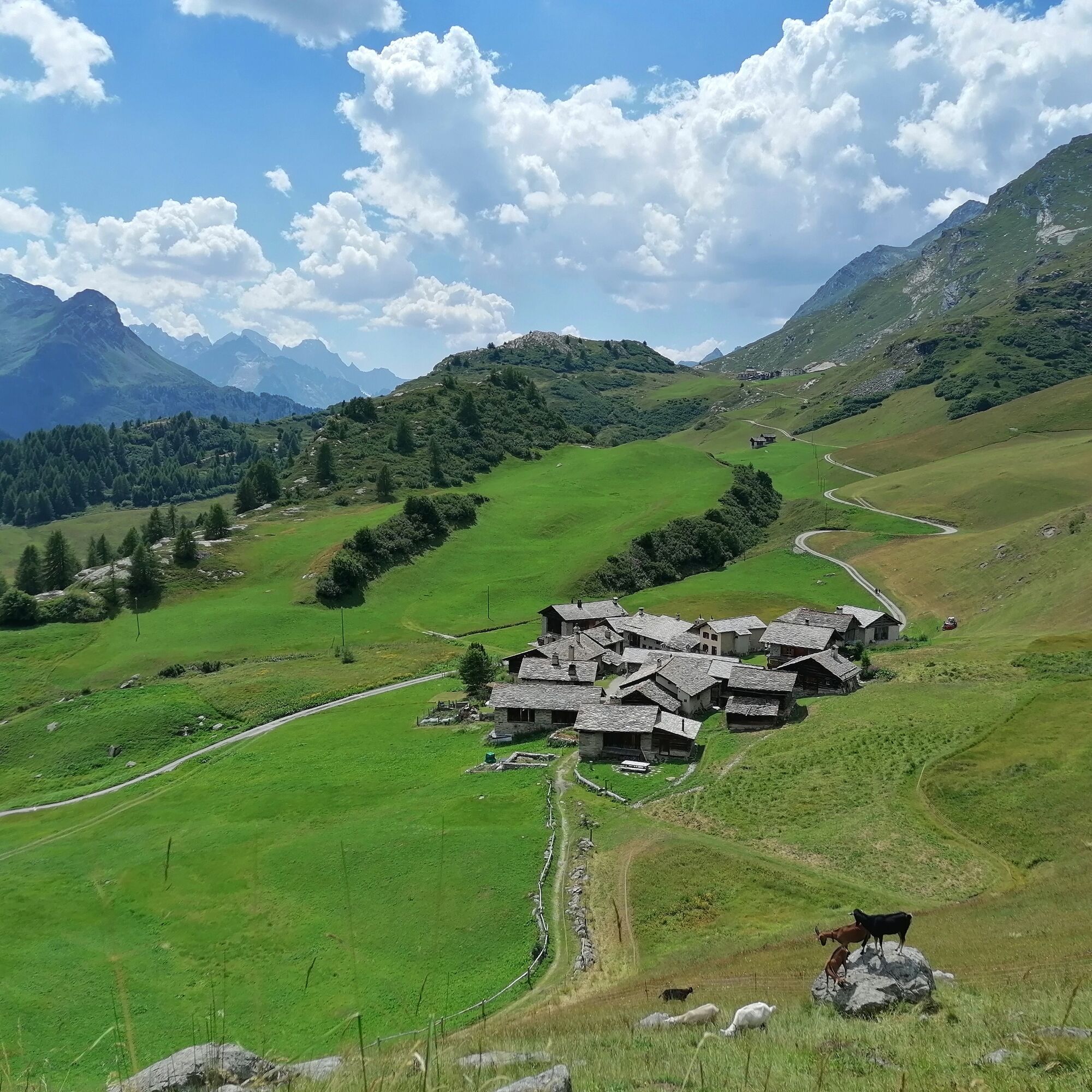
Back at the summit station of the Diavolezza gondola, the trail leads past the Lej da Diavolezza and down to the valley station. After crossing the main road, the steep ascent to the Fuorcla Pischa at 2,835 metres begins. On the descent to Pontresina, you can enjoy refreshments in the Chamanna Paradis (detour) or the restaurant Alp Languard. Upon leaving the mountaineering village of Pontresina, on the same level as the train station, you enter the pretty Val Roseg. In front of the Hotel Restaurant Val Roseg, the path turns right and climbs up to the Fuorcla Surlej while offering views of the Vadret da Roseg lake and the Bianco ridge of the Piz Bernina on the left. After the Fuorcla Surlej, the trail leads to the middle station of the Corvatsch cable car befor descends 200 vertical metres and traverses the mountain flank to Alp Prasüra and heading down to the culture village of Sils. Next, the route leads past the church in Sils Baselgia to the left side of the valley along the Via Engiadina an the past the Heidi village of Grevasalvas to Maloja.
More information
Engadin Tourismus AG
Via Maistra 1
CH-7500 St. Moritz
Phone: +41 81 830 00 01
E-mail: allegra@engadin.ch
Internet: www.engadin.ch
Booking
Eurotrek AG
Zürcherstrasse 42
CH-8103 Unterengstringen
Phone: +41 44 316 10 00
E-mail: eurotrek@eurotrek.ch
Internet: www.eurotrek.ch/bernina-tour-6-5


Poschiavo - Cavaglia - Alp Grüm - Ospizio Bernina - Daivolezza - Fuorcla Pischa - Alp Languard - Pontresina - Val Roseg - Fuorcla Surlej - Mittelstation Corvatsch - Sils - Grevasalvas - Blaunca - Maloja
Igen
Igen
Good, sturdy hiking boots, clothes suitable for the weather, sun and rain protection, enough food and drinking water, first aid kit, a good map.
In June there may still be snow at higher altitudes.
In the mountains, mobile phone reception is not always available.
With the train on the Unesco World Heritage Line to Poschiavo.
Don't start the stages too late, so that you can allow yourself enough time for stops at the excursion restaurants or viewpoints.
If you plan to use a cable car for the descent, check the timetable in advance, that you don't miss the last cable car that leaves for the valley.
Népszerű túrák a környéken
-
5,0
Muottas Muragl - Segantini hut - Pontresina
közepesKirándulás 6,46 km -
5,0
Morteratsch railway station - Boval Hut
közepesKirándulás 10,5 km -
4,7
Diavolezza - Munt Pers
könnyűKirándulás 3,82 km -
4,7
SAC Tschierva
könnyűKirándulás 24,7 km -
5,0
Alp Languard - Paradis hut - Pontresina
könnyűKirándulás 7,05 km -
4,5
Pontresina - Val Roseg - Pontresina
könnyűKirándulás 13,8 km -
4,8
Paradis route
könnyűKirándulás 4,81 km -
Muottas Muragl - Segantini Hütte - Pontresina
közepesKirándulás 17,5 km -
5,0
Ospizio Bernina Station - Alp Grüm (-Cavaglia)
könnyűKirándulás 4,97 km -
4,5
Diavolezza - Lej da Diavolezza
közepesKirándulás 6,22 km
Túrázás & nyomkövetés


Ne maradjon le az ajánlatokról és az inspirációról a következő nyaralásához!
Az Ön e-mail címe hozzá lett adva a levelezőlistához.