


Laaxer Stöckli summit route: Nagens - Segensboden - Piz Grisch - Nagens


Fotók felhasználóinkról
-

 © João LealLétrehozta a 16.10.2022
 -
 © João LealLétrehozta a 16.10.2022
 -
 © Aurelian BöhlerLétrehozta a 11.09.2025
 -
 © Aurelian BöhlerLétrehozta a 11.09.2025
 -
 © Aurelian BöhlerLétrehozta a 11.09.2025
 -
 © Aurelian BöhlerLétrehozta a 11.09.2025
 -
 © Aurelian BöhlerLétrehozta a 11.09.2025
 -
 © Marius TrompetterLétrehozta a 08.08.2025
 -
 © Marius TrompetterLétrehozta a 08.08.2025
 -
 © Marius TrompetterLétrehozta a 08.08.2025
 -
 © Marius TrompetterLétrehozta a 08.08.2025
 -
 © Marius TrompetterLétrehozta a 08.08.2025
 -
 © Marius TrompetterLétrehozta a 08.08.2025
 -
 © Marius TrompetterLétrehozta a 08.08.2025
 -
 © Marius TrompetterLétrehozta a 08.08.2025
 -
 © Marius TrompetterLétrehozta a 08.08.2025
 -
 © Marius TrompetterLétrehozta a 08.08.2025


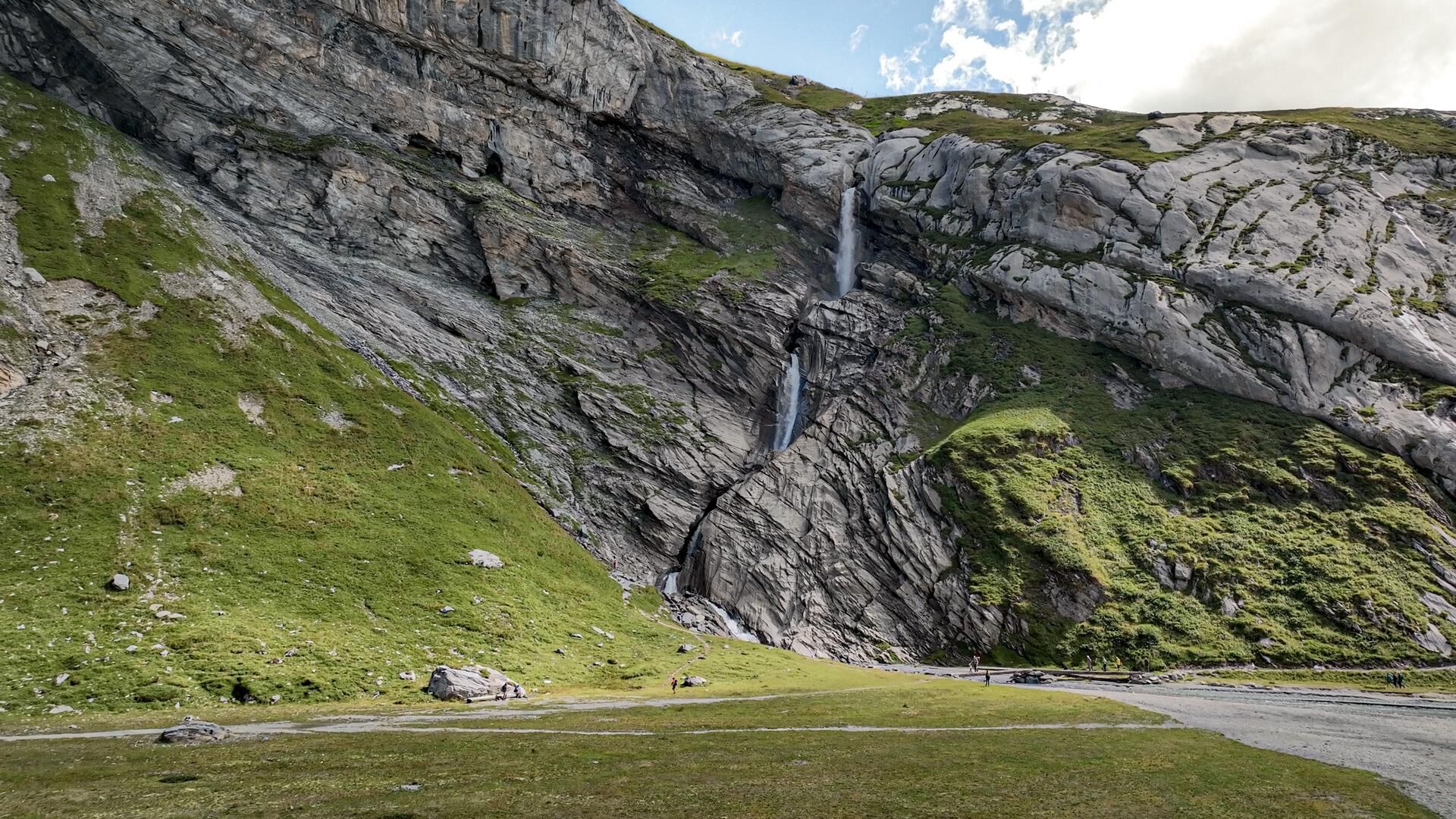
The route starts at the Nagens Sura mountain station, which you reach by FlemXpress from Flims.
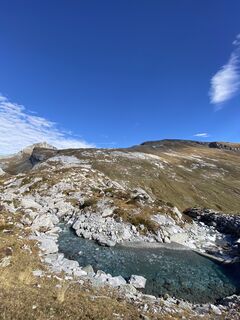
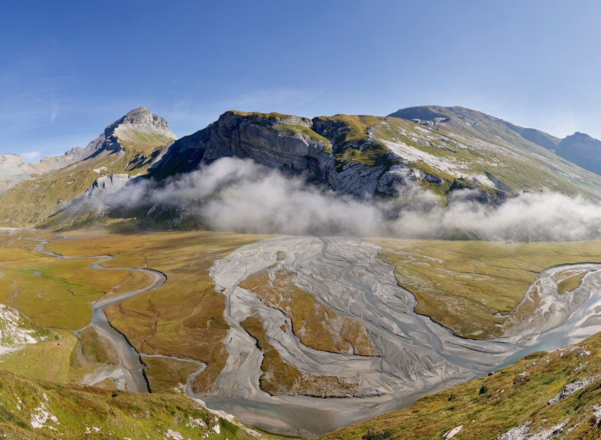
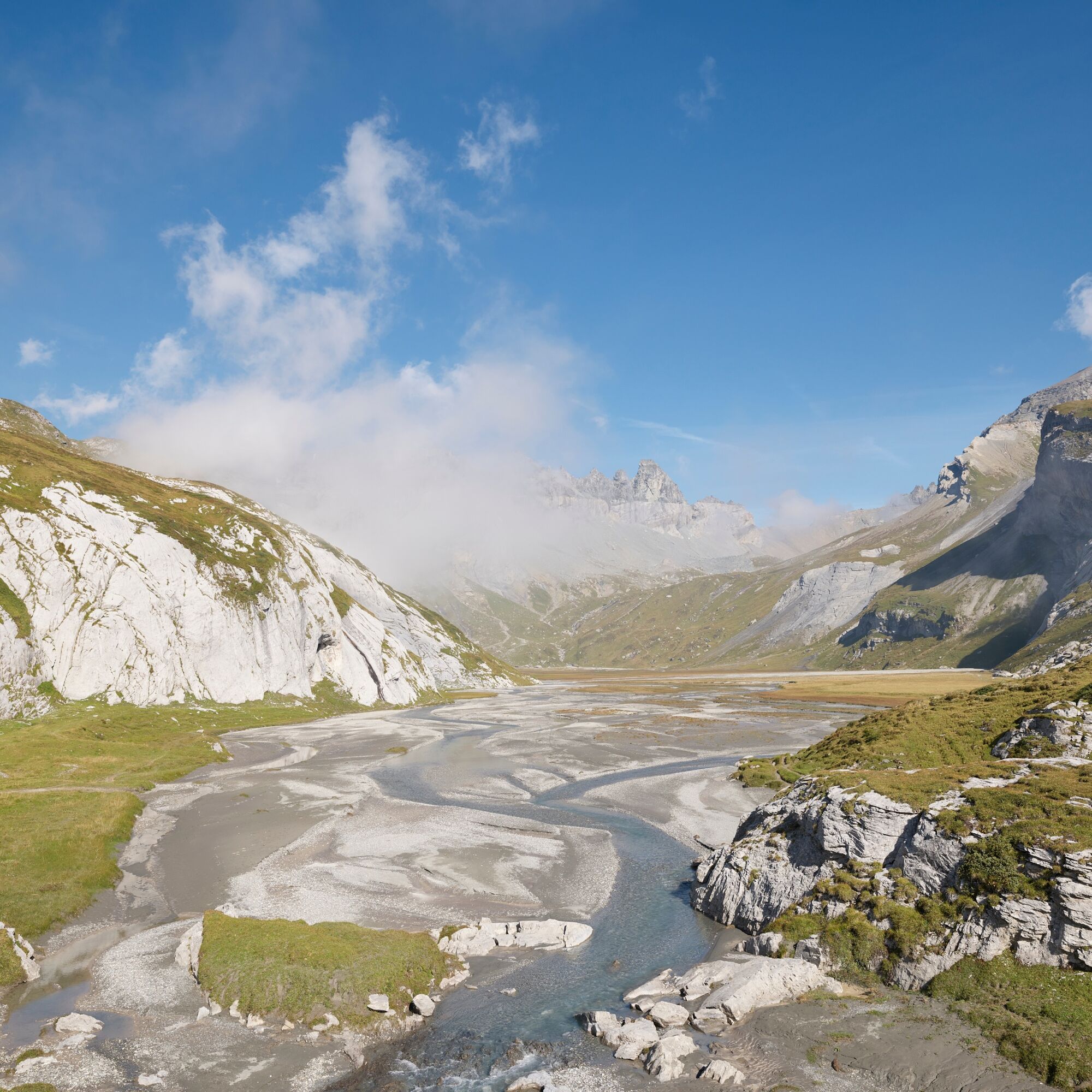
The first meters go downhill towards the Speichersee and then traversing over the Platt Alva to the Segenshütte.
After...
The route starts at the Nagens Sura mountain station, which you reach by FlemXpress from Flims.
The first meters go downhill towards the Speichersee and then traversing over the Platt Alva to the Segenshütte.
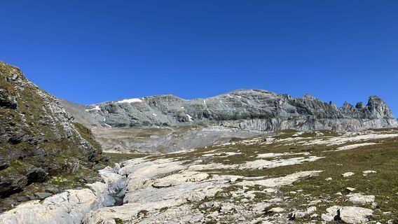
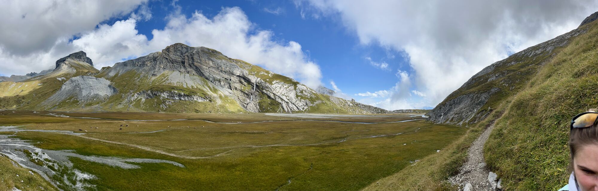
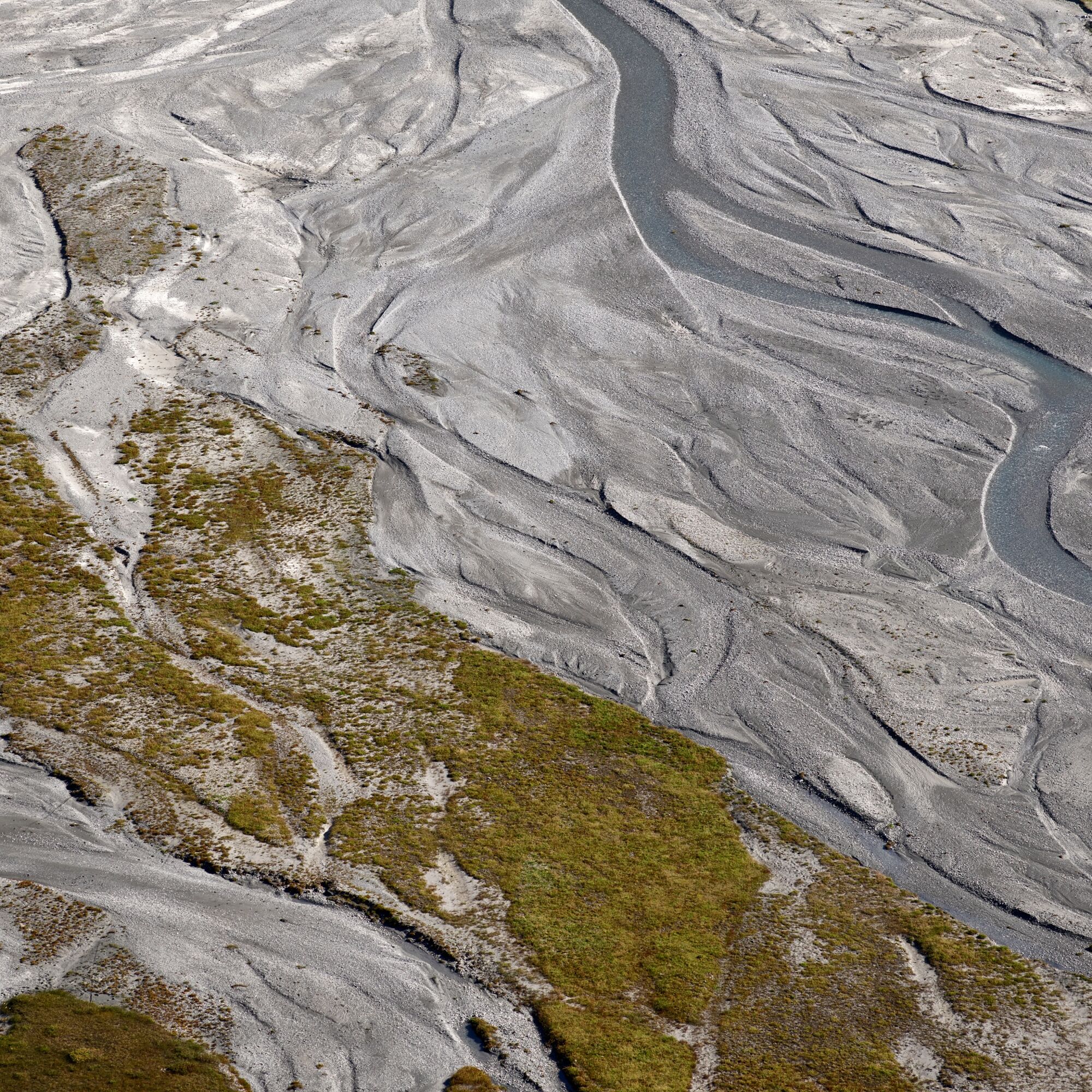
After you have circled the lower Segensboden, a flat moor of national importance, counterclockwise with only a few meters of elevation gain, the ascent to the summit begins.
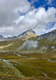
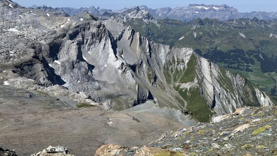
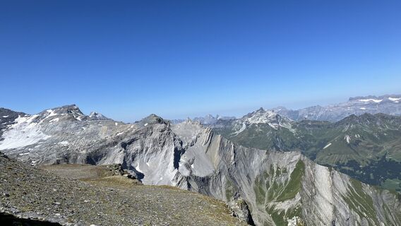
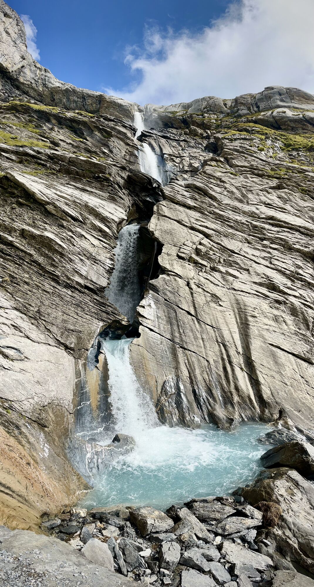
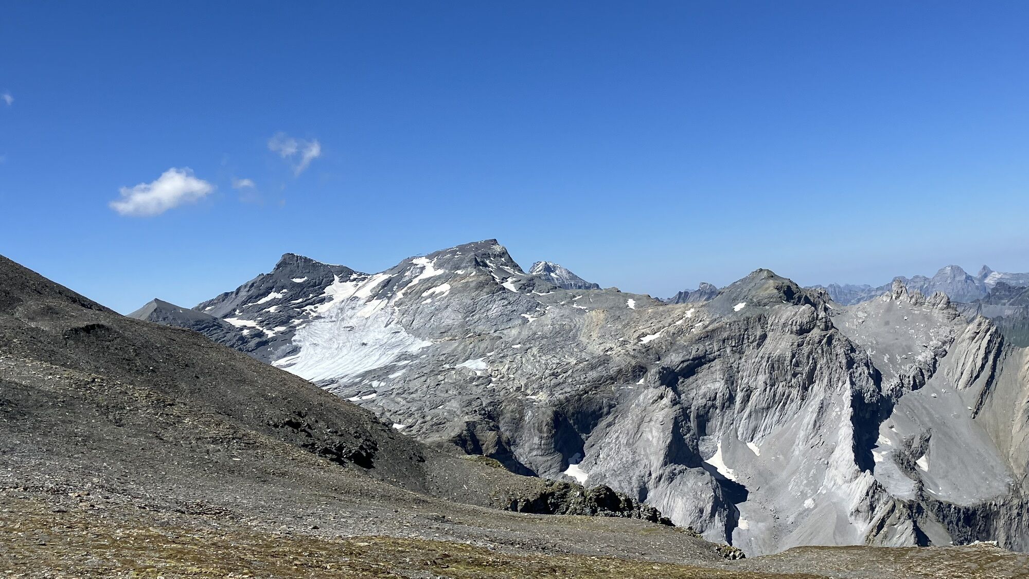
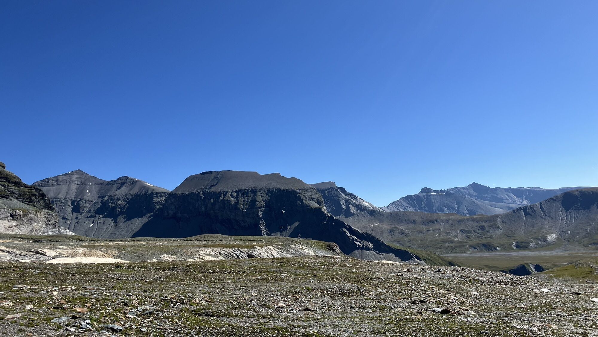
On the Grauberg you have a breathtaking view of the UNESCO World Heritage site and the Tschingelhörner.
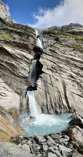
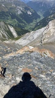
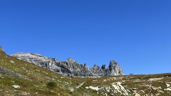
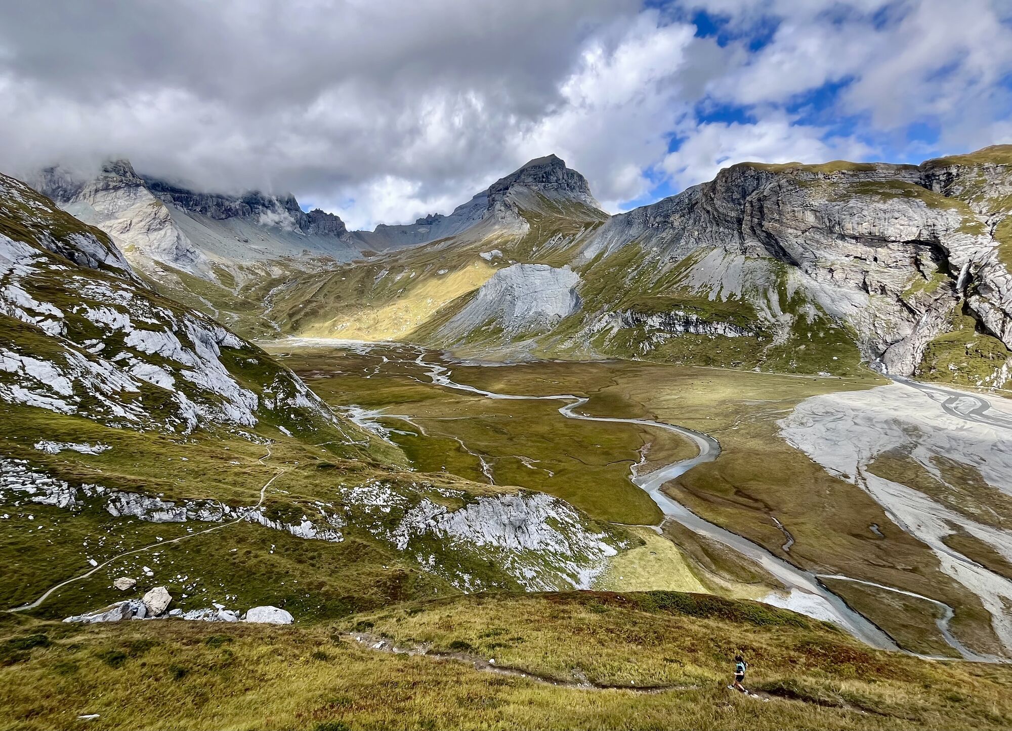
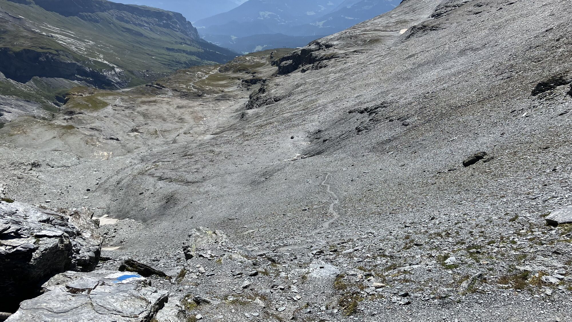
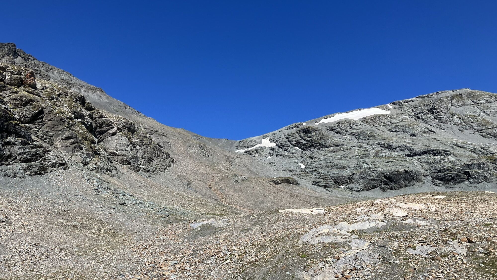
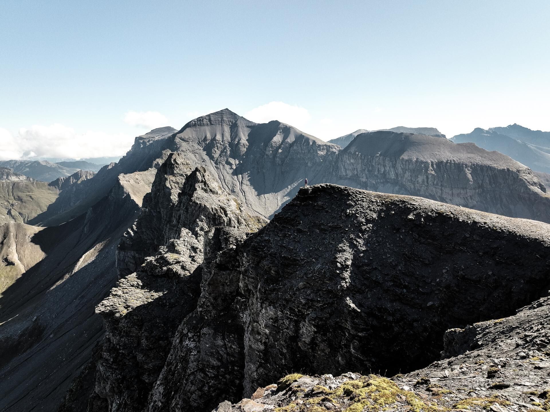
Through the Ofen it gets continuously steeper up to the Grischsattel; for the last exposed ridge to the summit, good nerves and absolute sure-footedness are required.
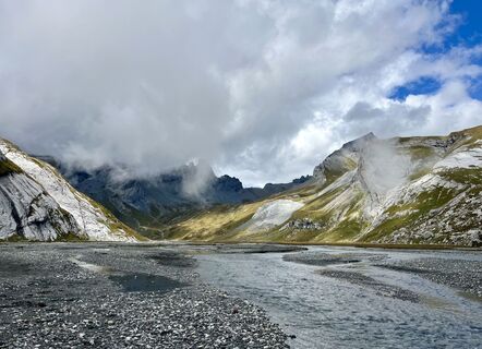
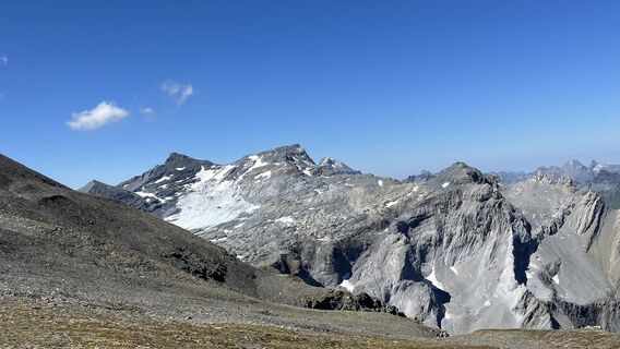
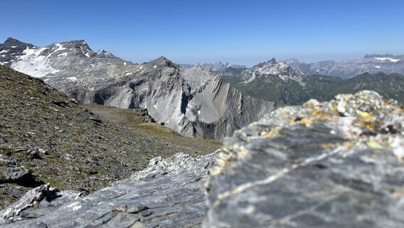
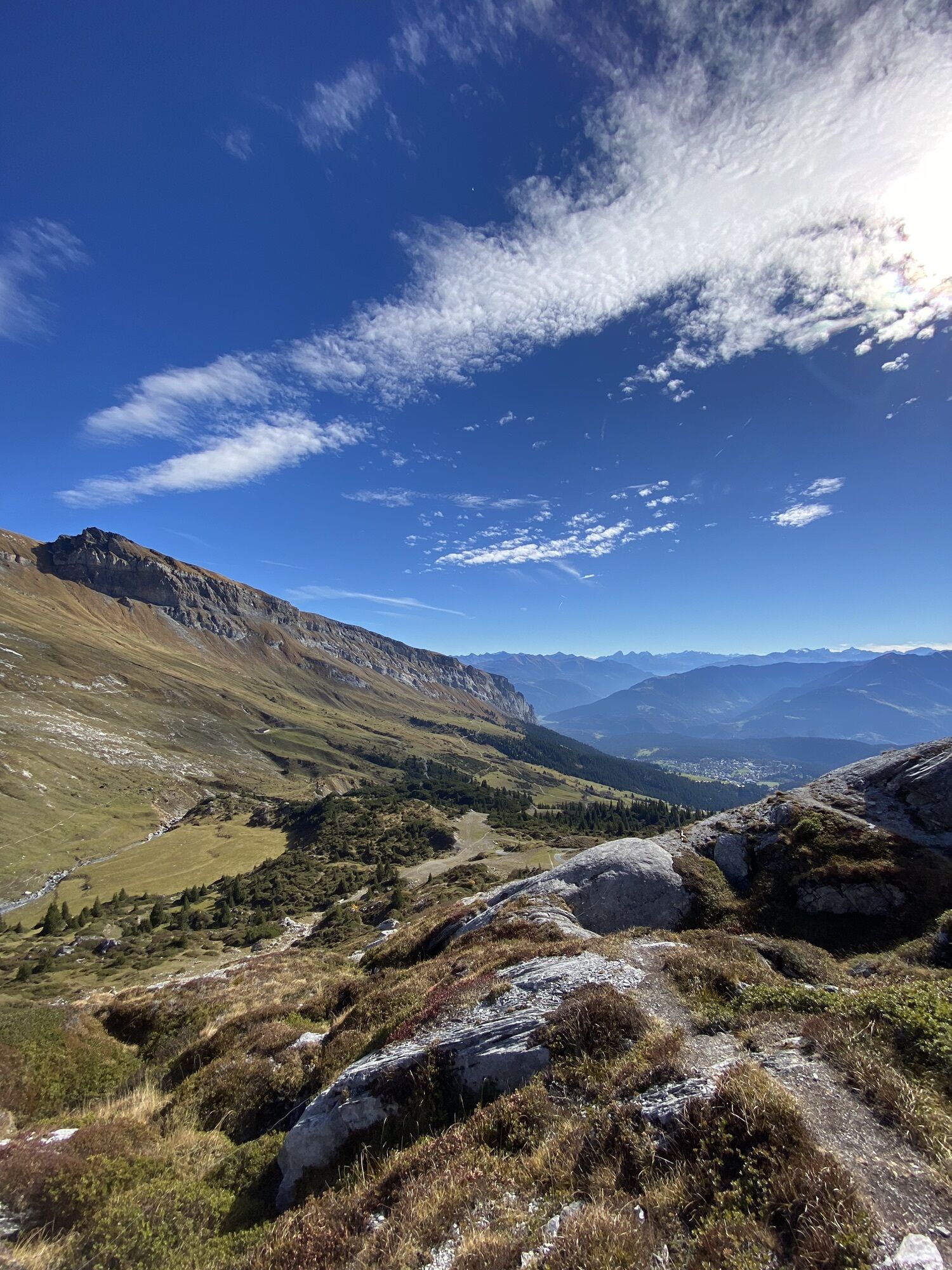
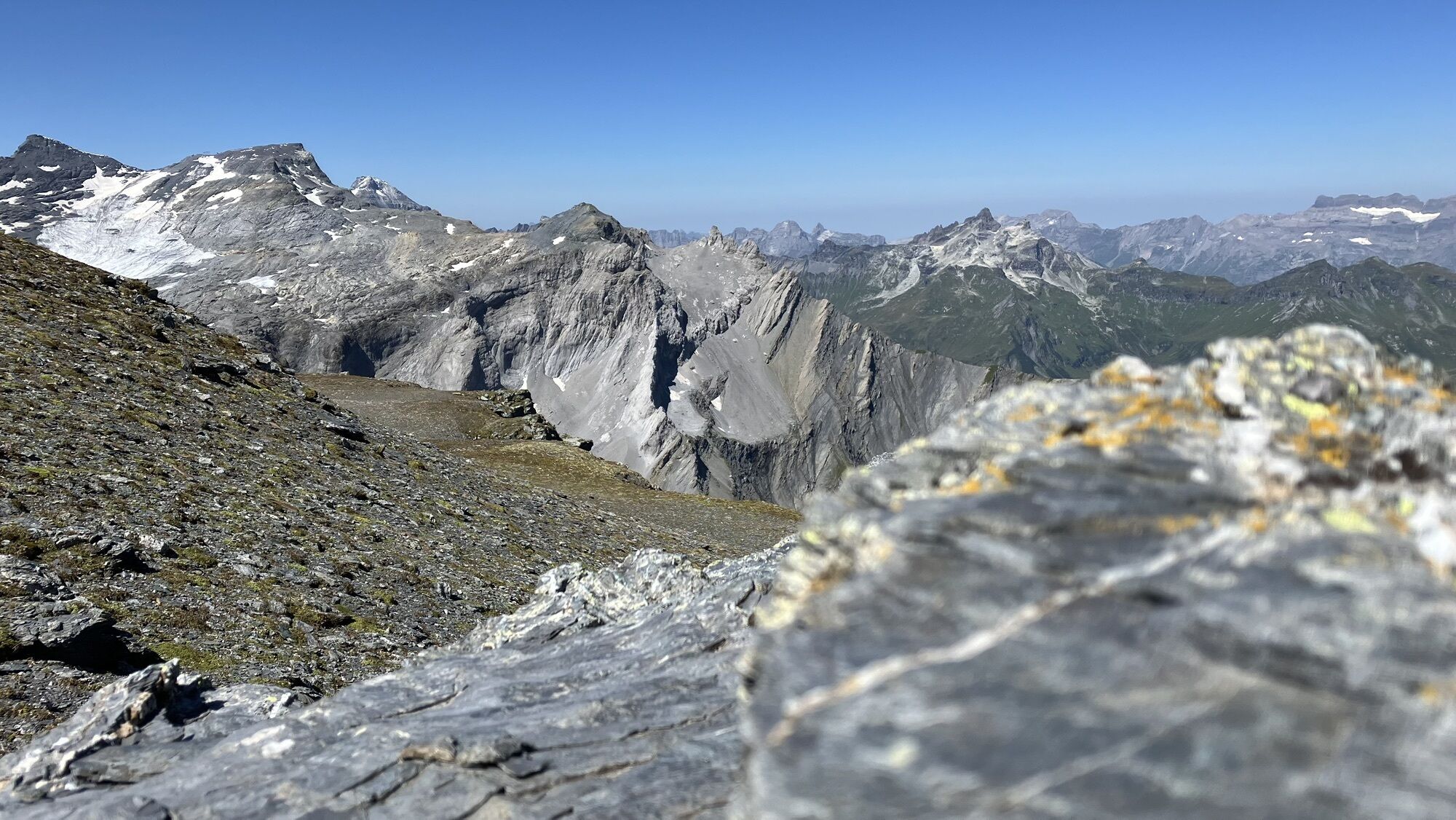
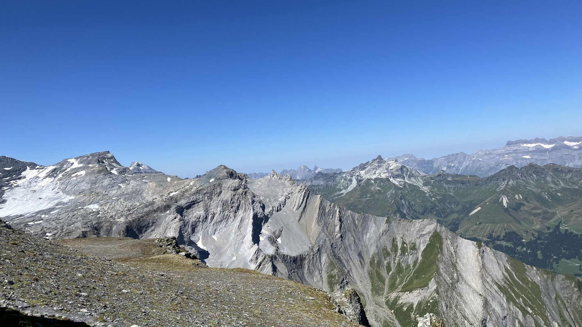
The descent now always runs along the ridge towards Vorab. There the Vorab Trail begins which you follow up to point 2271.
On the last section, you traverse back to Berghaus Nagens. From there you can either walk the short stretch up to the Nagens Sura mountain station and ride comfortably down the valley, or you take the bus down from Nagens.

The route starts at the Nagens Sura mountain station. Then initially downhill towards the Speichersee near Nagens and traversing over the Platt Alva to the Segenshütte.
After the circumnavigation of the lower Segensboden, the ascent begins up to the summit. Over the Grauberg it continues to the ascent through the Ofen and increasingly steeper over the Grischsattel to the summit.
The descent runs along the ridge towards Vorab. There the Vorab Trail begins, which you follow up to point 2271. From there back to the Berghaus Nagens.
Igen
Igen
Igen
Solid, high hiking boots with slip-resistant soles. Always have rain protection and a warm jacket with you – the weather can change quickly in the mountains. Enough to drink!
Trail is not necessarily visible. In some places hands are needed to move forward. Terrain already quite exposed, tricky grassy slopes, rocks, simple snowfields.
By car on highway A13 from Zurich, exit 18 Flims
By PostBus from Chur to Flims Bergbahnen.
Parking in the STENNA parking garage at the Flims valley station.
Guest information Flims Laax Falera
Via Nova 62
7017 Flims
+41 (0)81 920 9200
Népszerű túrák a környéken
-
4,5
4-lake hike
közepesKirándulás 12,8 km -
4,7
The riverside trail: Trutg dil Flem
közepesTanösvény 13,5 km -
4,3
Via Ferrata Pinut
közepesVia ferrata 5,82 km -
4,7
Rhine Gorge Hike: Senda Ruinaulta (659)
könnyűKirándulás 9,39 km -
4,8
Rheinschlucht: From Ilanz to Versam into the heart of the Rheinschlucht
közepesKirándulás 11,4 km -
4,3
Round trip hike Falera - Curnius - Alp Dadens - Falera
közepesKirándulás 11,4 km -
5,0
Staderas - Conn - Rhein Gorge Ruinaulta-Staderas
közepesKirándulás 19,8 km -
5,0
Rhine Gorge Circular Hike
közepesKirándulás 11,4 km -
Rhine Gorge/Ruinaulta: Ilanz - Reichenau
közepesKirándulás 21,2 km -
764 Trutg dil Flem, Flims Water Route (GRF)
nehézTanösvény 13,3 km
Túrázás & nyomkövetés


Ne maradjon le az ajánlatokról és az inspirációról a következő nyaralásához!
Az Ön e-mail címe hozzá lett adva a levelezőlistához.