


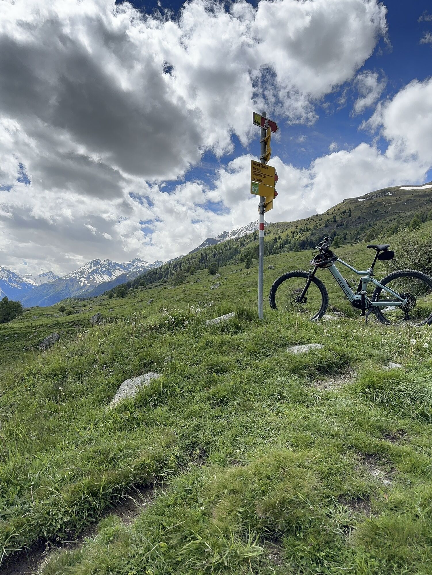
Alp Murtera Dadaint – Munt – Ardez
Nehézségi szint: 1


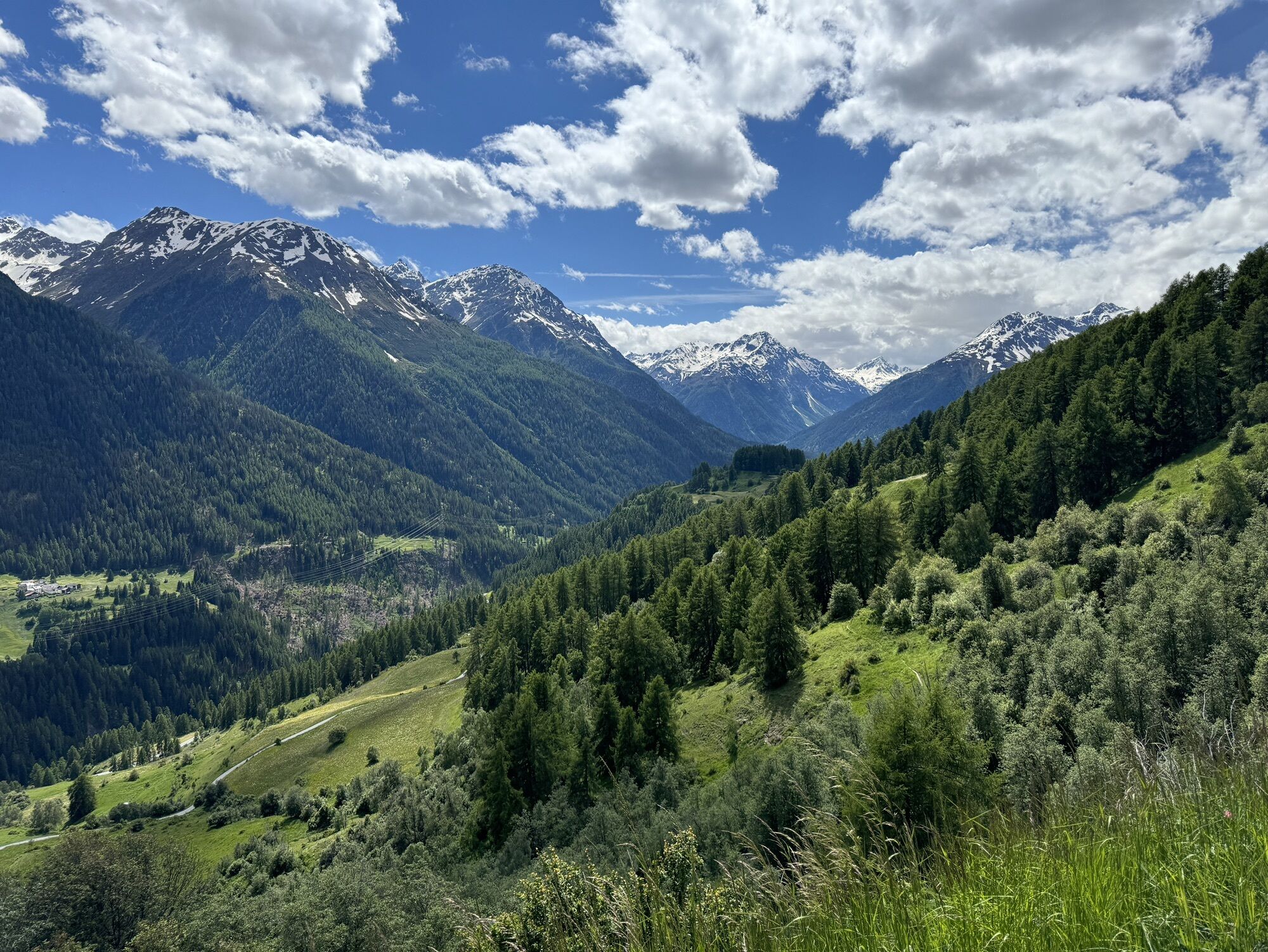
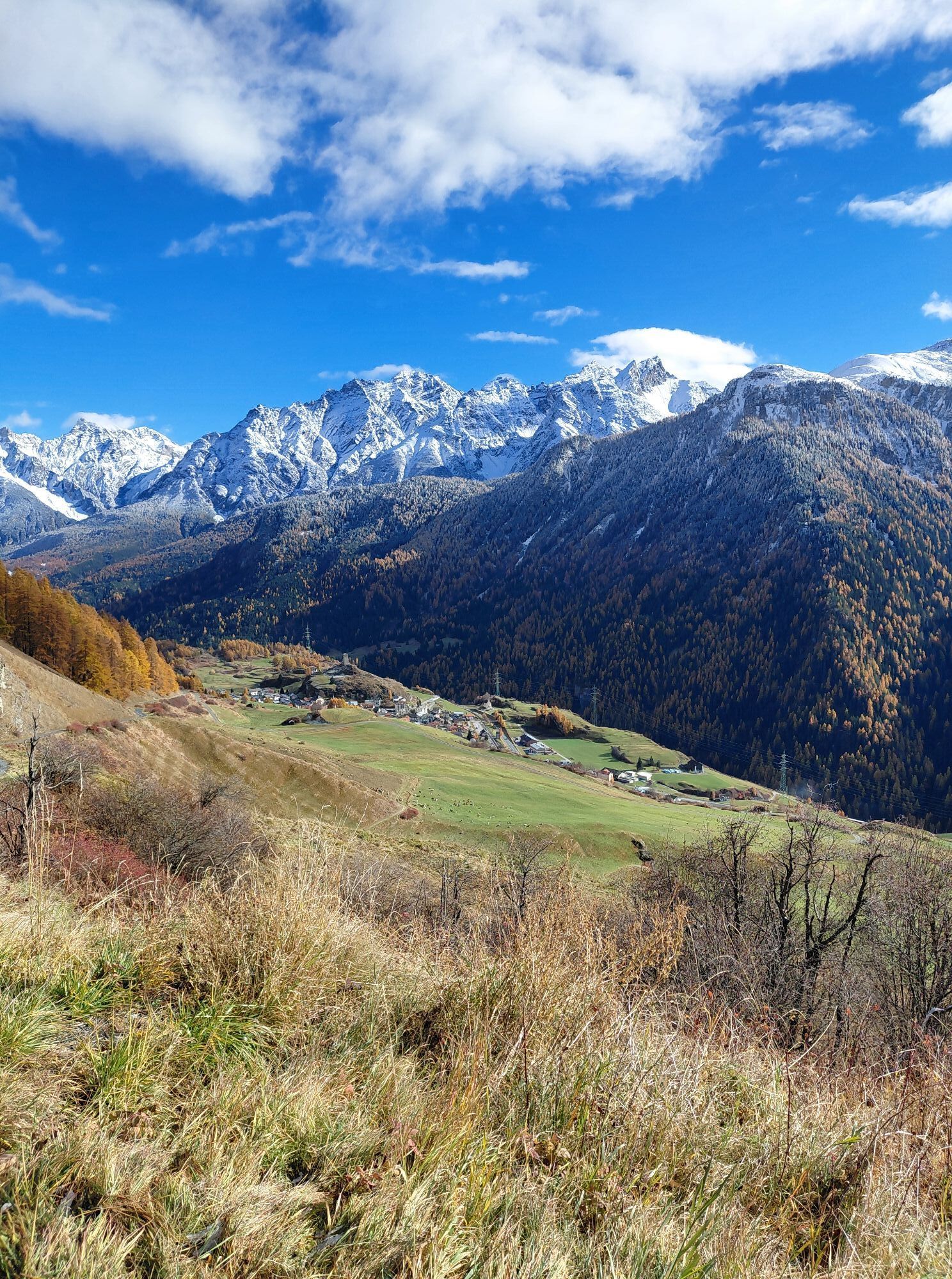
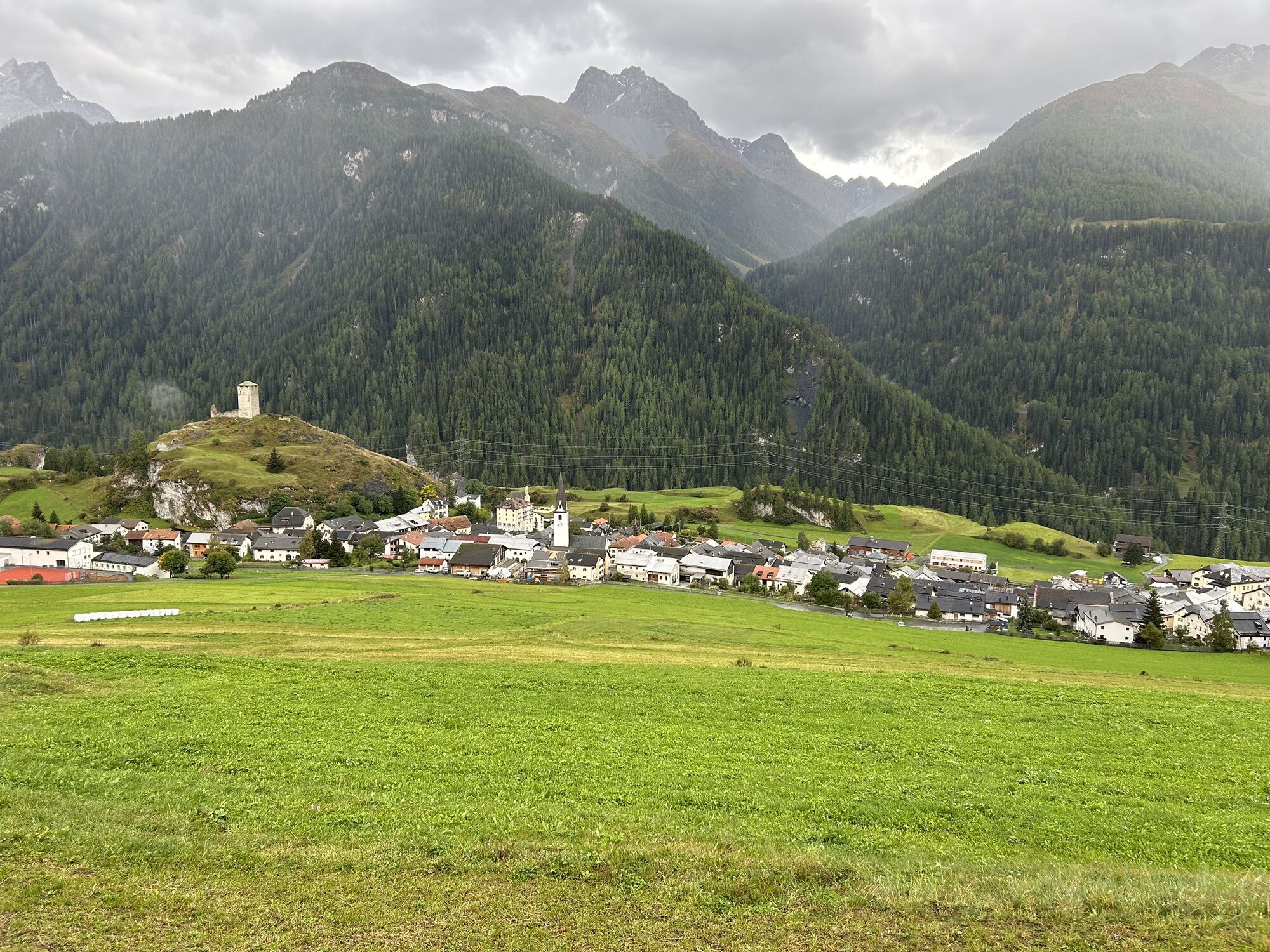
From Ardez station the path goes northwest through the village and soon reaches a wooded area above the school. The path follows the forest in a northwest direction and after about 1 km reaches the sledding...
From Ardez station the path goes northwest through the village and soon reaches a wooded area above the school. The path follows the forest in a northwest direction and after about 1 km reaches the sledding trail. Following this, it goes uphill for the next 2.5 km to “Munt” and further to Alp Murtera Dadaint at the start of the sledding route.
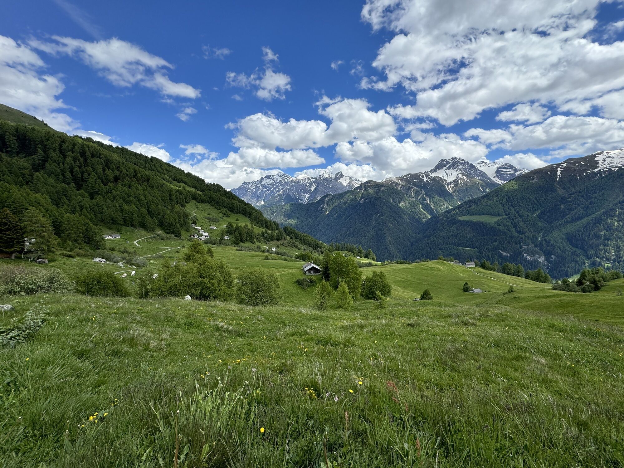
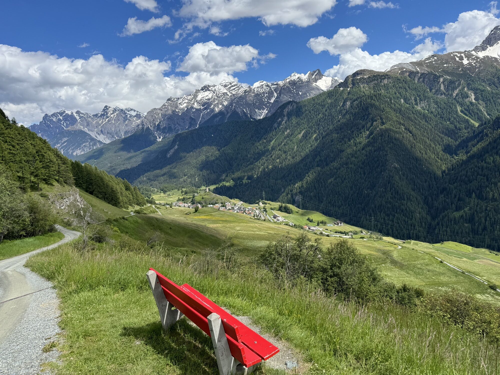
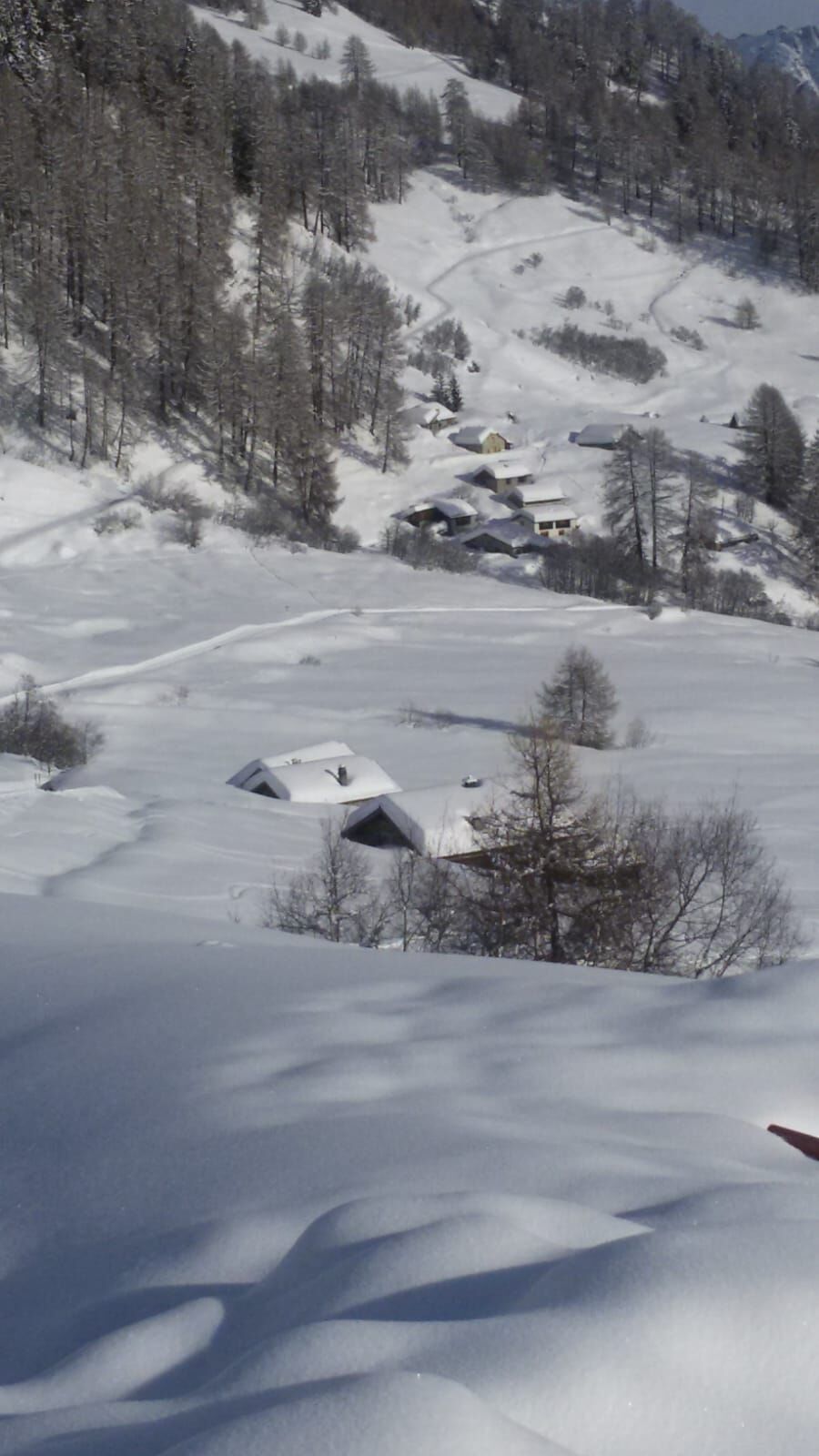
Alp Murtera Dadaint is sun-drenched above Bos-cha and Munt d’Ardez, at 2150 m above sea level at the starting point of the new 5.3 kilometer sledding run to Ardez. After an ascent, enjoy a soul-soothing view (2 hours from Guarda or 2.5 hours from Ardez).
The longest and probably most beautiful sledding descent in the Engadin brings you back to the valley.

From Ardez station through the village to the north
Above the school into a wooded area
Follow the path to the sledding trail
Follow the sledding trail to Munt
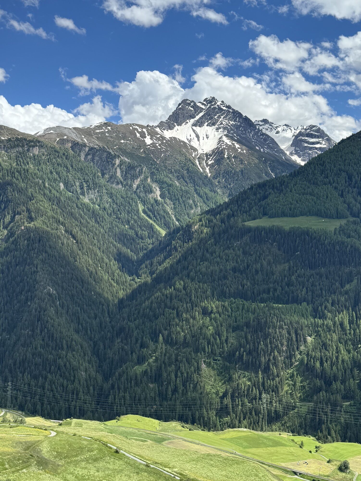
Descent to Ardez
Igen
Sled, high and sturdy hiking boots or winter boots, warm clothing, sun protection, gloves, and helmet recommended.
The path is prepared after each snowfall. Please observe the condition reports in the winter sports report. The route was rated under favorable weather conditions; current snow and weather conditions must be checked before starting.
Attention: The path is used simultaneously by winter hikers and sledders.
Emergency numbers:
144 Emergency, first aid
1414 Mountain rescue REGA
112 International emergency number
From the north: via Landquart – Klosters by car shuttle through the Vereina tunnel (Selfranga - Sagliains) or over the Flüela Pass into the Lower Engadin on H27 to Ardez From the east: via Landeck / Austria towards St. Moritz on H27 to Ardez From the south: via Reschen Pass (Nauders-Martina) or Ofen Pass (Val Müstair-Zernez) on H27 to Ardez
Ardez is located directly on the Engadin road H27 (15 minutes drive from Vereina south portal)
By Rhaetian Railway (from Chur, Landquart/Prättigau, Upper Engadin or from Scuol) hourly to Ardez station
Paid parking at Ardez station or in designated parking areas above the village
1
Sled rental
On-site rental:
For the subsequent descent, rental sleds are available in the open alpine building. They can be rented for CHF 5 per sled/ride and returned at the sled return container above the school in Ardez.
A túra webkamerái
Népszerű túrák a környéken
-
5,0
Großer Piz Buin (3.312m), Normalweg 2019 über Ochsentaler Gletscher
nehézMagashegyi túra 24,1 km -
Rund ums Hohe Rad
nehézTanösvény 15,4 km -
1,0
High mountain route to the highest summit of Vorarlberg, the Piz Buin (3,312 m)
nehézMagashegyi túra 22,4 km -
4,8
Nationalpark: Zernez – Munt Baselgia – Macunseen – Alp Zeznina – Lavin
nehézKirándulás 22,9 km -
Bieler Höhe - Wiesbadener Hütte - Runde ums Hohes Rad
közepesKirándulás 15,6 km -
5,0
Margunet (nature trail in the Swiss National Park)
közepesKirándulás 7,76 km -
2,0
Bielerhöhe - Vermuntkopf - Bielerhöhe
közepesKirándulás 17 km -
Bielerhöhe > Radsattel > Wiesbadener Hütte > Bielerhöhe - Angelos Touren
nehézKirándulás 15,1 km -
Mountain route Green Summit, 2,579 m
nehézKirándulás 17,6 km -
Suspension Bridge Trail Val Sinestra – Zuort – Griosch – Vnà
közepesKirándulás 11,0 km

Túrázás & nyomkövetés


Ne maradjon le az ajánlatokról és az inspirációról a következő nyaralásához!
Az Ön e-mail címe hozzá lett adva a levelezőlistához.