


Lower Segnesboden Route


Using FlemXpress you reach the starting point of the route, the Segneshütte. Those who want to skip the cable car can of course jog from Flims. For this, the water trail "Trutg dil Flem" is recommended...
Using FlemXpress you reach the starting point of the route, the Segneshütte. Those who want to skip the cable car can of course jog from Flims. For this, the water trail "Trutg dil Flem" is recommended early in the morning before the hikers are out.
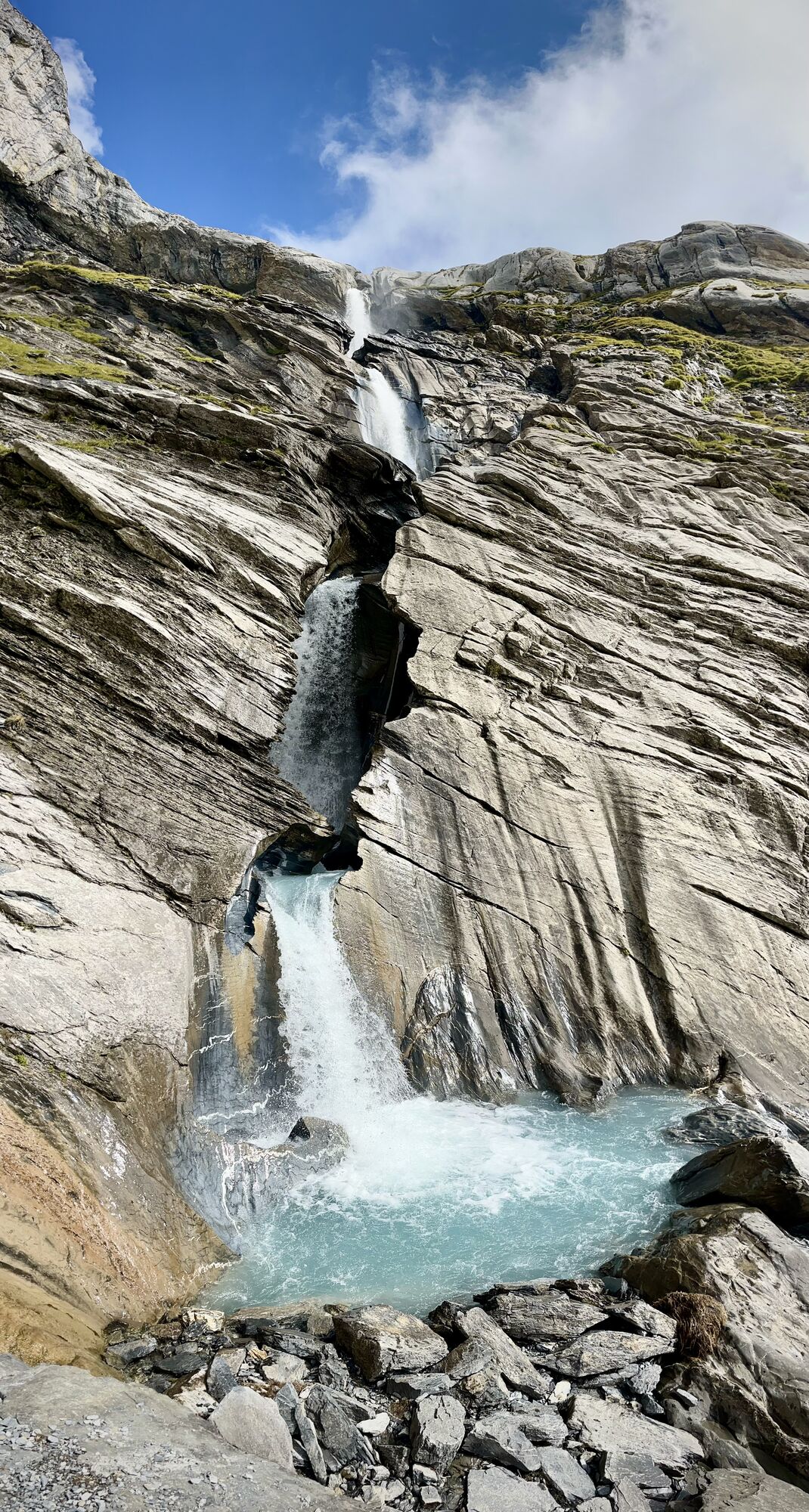
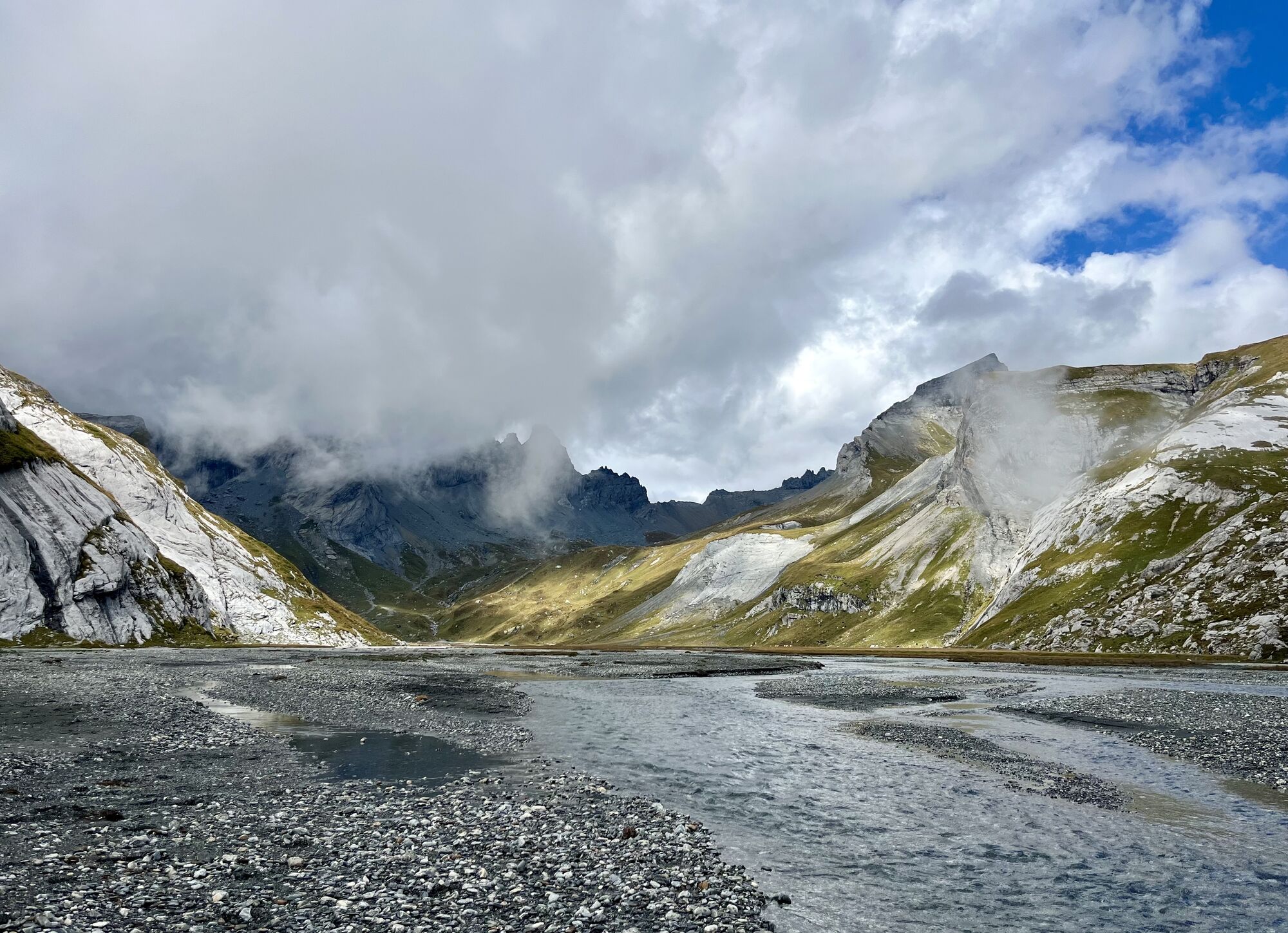
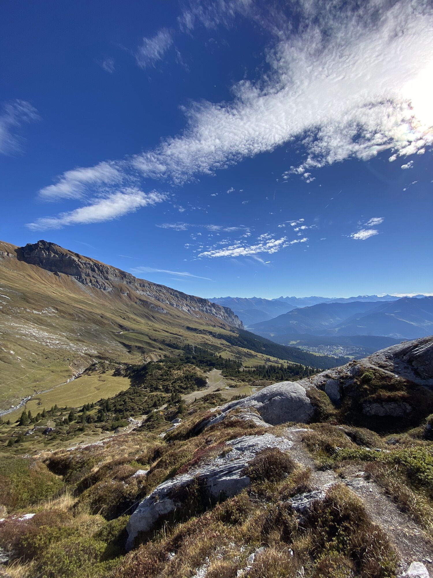
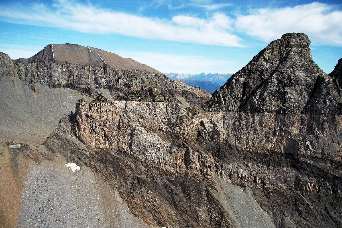
The route leads mostly on rocky paths to the edge of the upper Segnesboden and further towards the Tschingelhörner with the Martinsloch. And those willing to extend the route a bit can visit the Segnes Mountain Lodge on the Segnespass. The route returns via the lower Segnesboden back to the starting point.

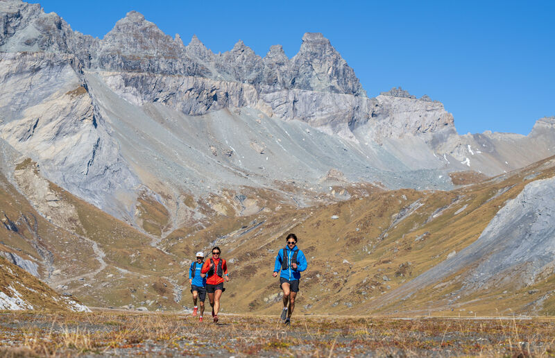
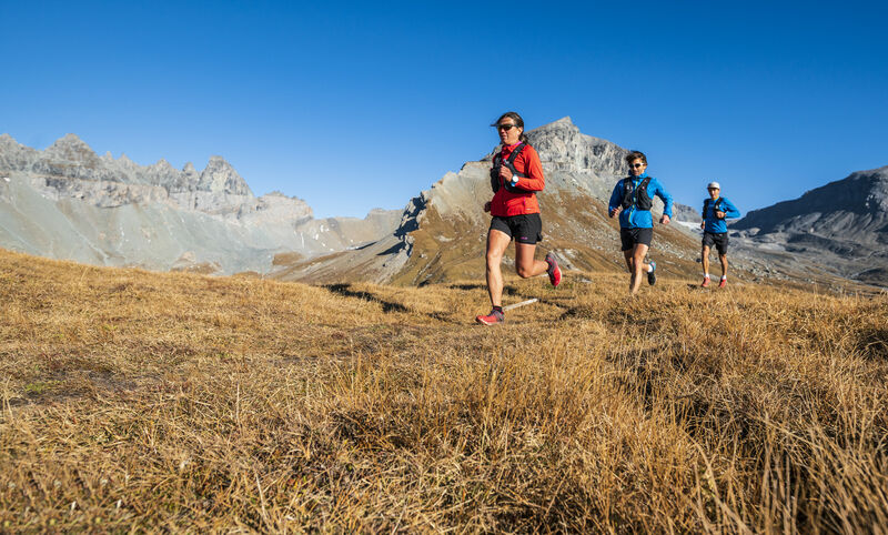
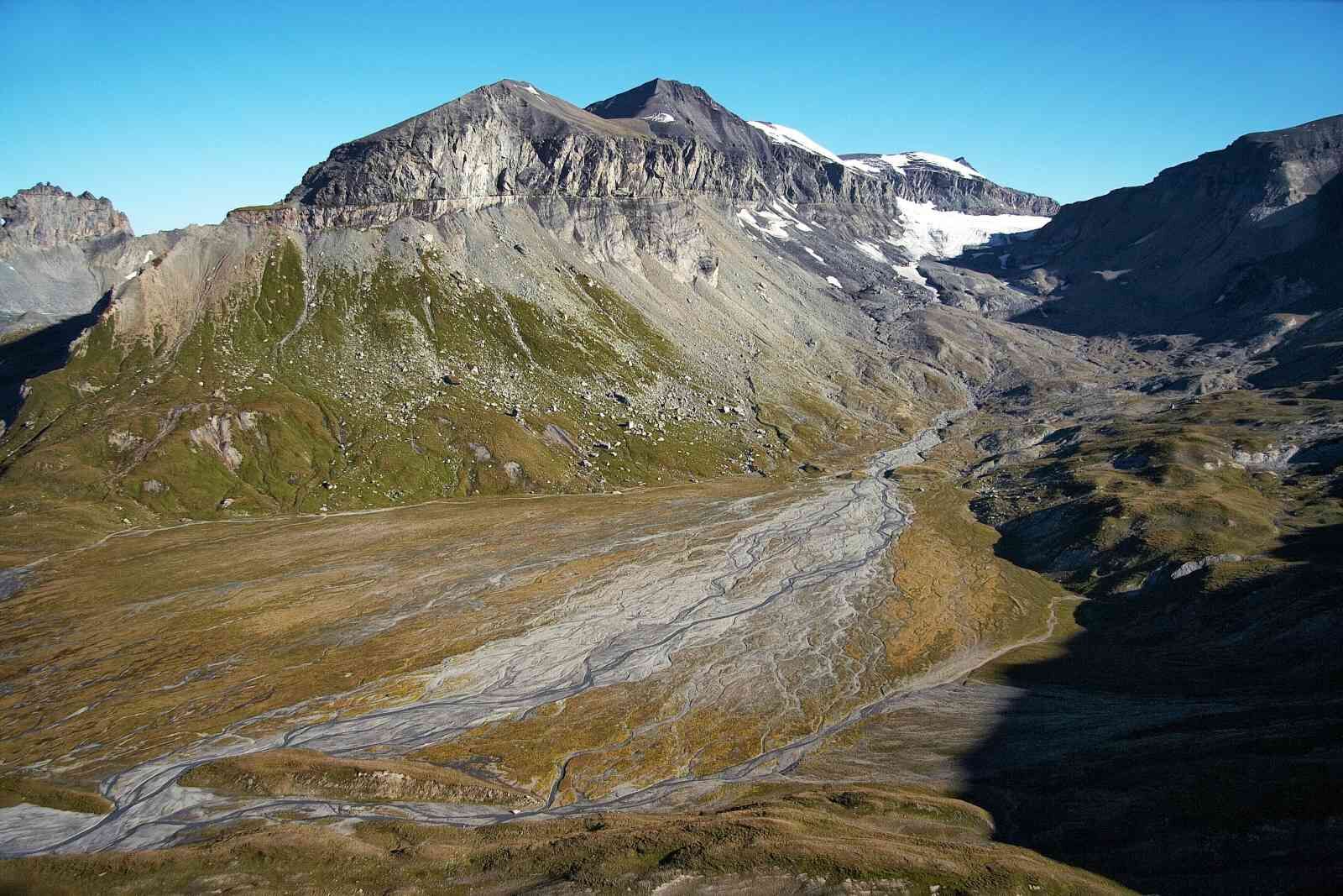
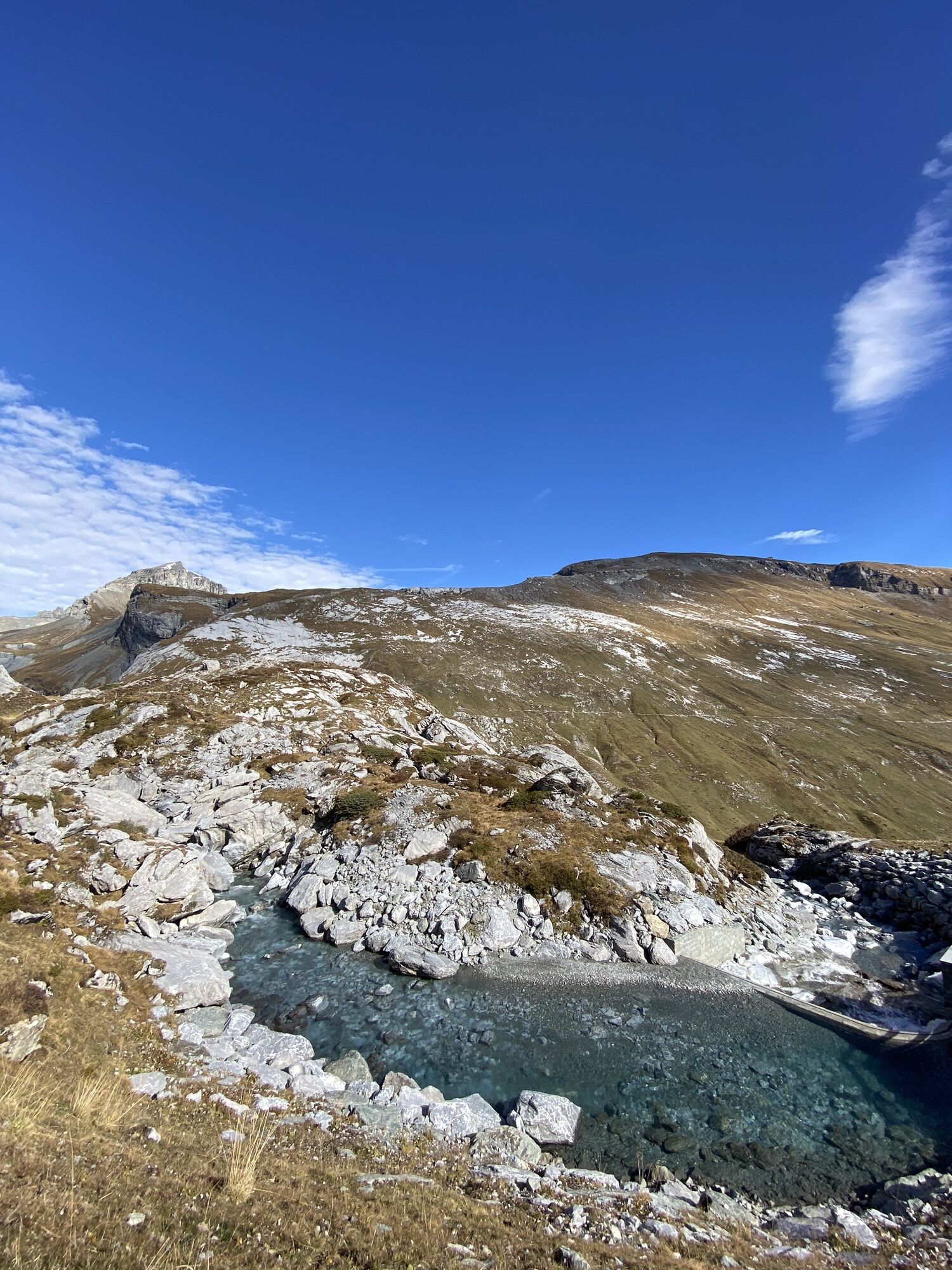
From the Segneshütte heading north to the lower Segnesboden, you reach a fork in the path, from where the route now goes right up towards the upper Segnesboden - At the fork at pt. 2322m continue right - Follow this path to pt. 2461m (which is the highest point, unless you continue further to the Segnespass) - Right to the next fork in the path - Here go left down to the lower Segnesboden and across its left side back to the starting point at the Segneshütte - Or; at the last fork continue straight to the Segnespass, then return the same way and follow the described route to the destination.
Igen
Igen
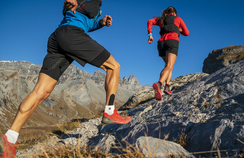
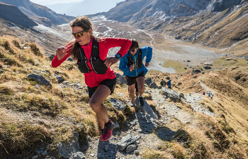
Trail running shoes, backpack with wind-/rain jacket, (depending on the temperature it is recommended to bring an additional warm layer of clothing), first aid kit as well as drink.
In spring there can be snowfields, slippery conditions apply!
By car on highway A13 from Zürich, exit 18 Flims.
By post bus from Chur, stop: Flims Dorf, Bergbahnen.
Recommended: Parkhaus Stenna, Flims Bergbahnen, paid parking.
Guest information Flims Laax Falera
Via Nova 62 CH-7017 Flims
Tel: +41 (0)81 920 92 00
E-Mail: info@flimslaax.com
Web: www.flimslaax.com
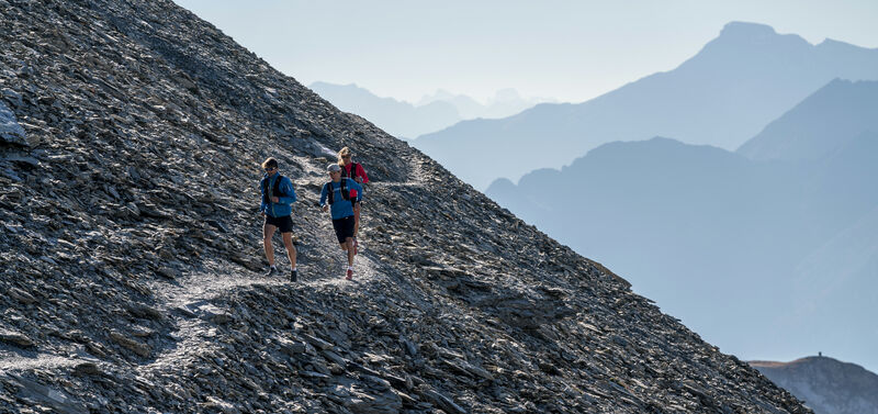
This route can be extended by about an additional kilometer to the Segnespass. As a reward, there is a rest stop at the Mountain Lodge! Definitely worth a visit.
Népszerű túrák a környéken
-
4,5
4-lake hike
közepesKirándulás 12,8 km -
4,7
The riverside trail: Trutg dil Flem
közepesTanösvény 13,5 km -
4,7
Pizol - Batöni - Weisstannen
nehézKirándulás 11,7 km -
4,7
Rhine Gorge Hike: Senda Ruinaulta (659)
könnyűKirándulás 9,39 km -
4,8
Rheinschlucht: From Ilanz to Versam into the heart of the Rheinschlucht
közepesKirándulás 11,4 km -
4,3
Round trip hike Falera - Curnius - Alp Dadens - Falera
közepesKirándulás 11,4 km -
5,0
Staderas - Conn - Rhein Gorge Ruinaulta-Staderas
közepesKirándulás 19,8 km -
5,0
Rhine Gorge Circular Hike
közepesKirándulás 11,4 km -
Rhine Gorge/Ruinaulta: Ilanz - Reichenau
közepesKirándulás 21,2 km -
764 Trutg dil Flem, Flims Water Route (GRF)
nehézTanösvény 13,3 km
Túrázás & nyomkövetés


Ne maradjon le az ajánlatokról és az inspirációról a következő nyaralásához!
Az Ön e-mail címe hozzá lett adva a levelezőlistához.