


Glattwang circular hike


From the mountain hut, the Arflinafurgga is targeted, the ridge between Prättigau and Schanfigg. Up here, you not only have a beautiful view but also the certainty that more than half of the altitude gain...
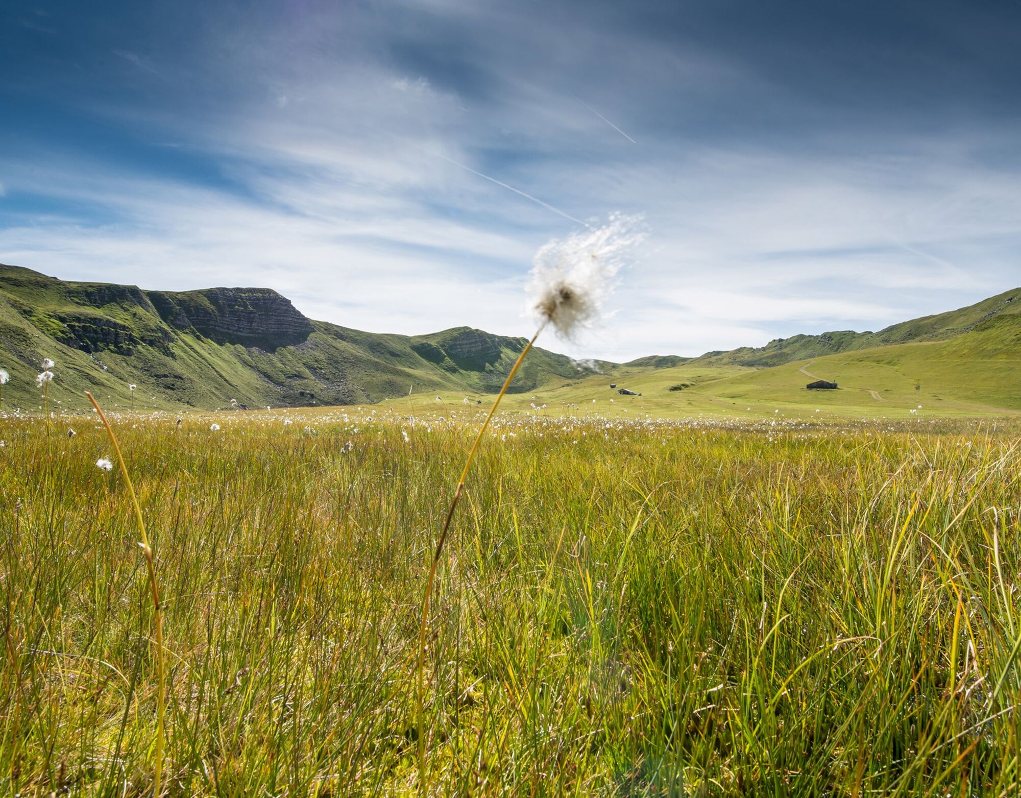
From the mountain hut, the Arflinafurgga is targeted, the ridge between Prättigau and Schanfigg. Up here, you not only have a beautiful view but also the certainty that more than half of the altitude gain is behind you. More or less along the ridge, you go up to the Glattwang, which offers a magnificent panoramic view of the Rhine Valley, the Churfirsten, and last but not least the border range to Montafon, the Rätikon. In the adjacent Varnezatobel, thanks to the wildlife protection area, many deer can often be observed.
After the summit experience, you return leisurely towards the mountain hut in the Heuberge, which you can already see from afar.

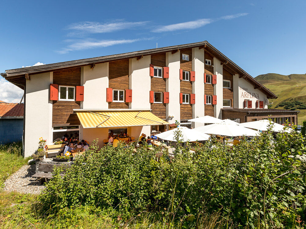
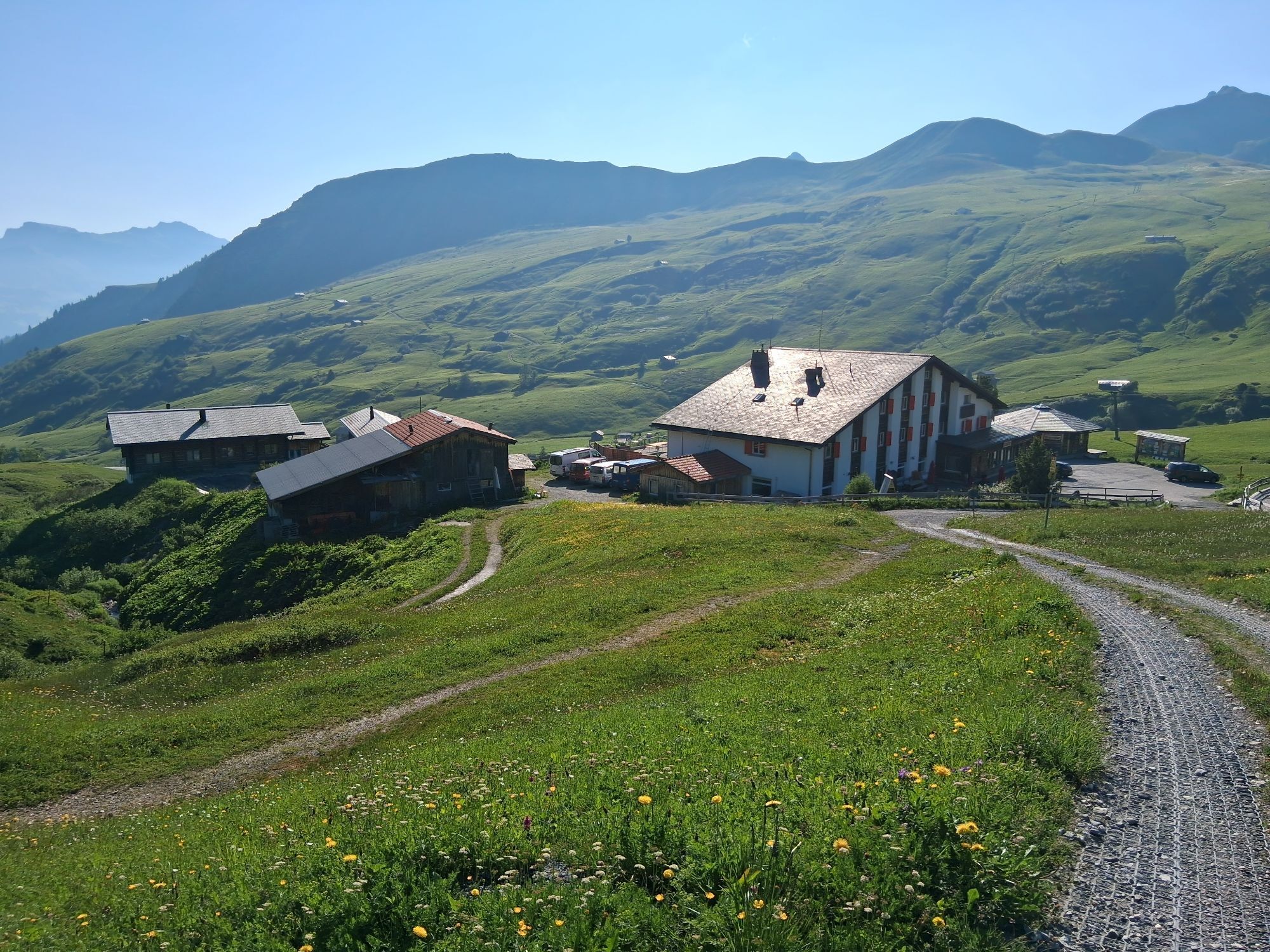
Berghaus Arflina - Arflinafurgga - Hinteregg - Glattwang - Glattwangseeli - Caua - Berghaus Arflina
Igen
Igen
Good trekking shoes, it's easier with poles, a small backpack with a drinking bottle, and a small snack. A Swiss pocket knife is always useful.
Good sure-footedness. Average orientation skills. Basic alpine experience.
Via the A13 and the N28 to Fideris. Either by your own car or with the shuttle bus (please reserve in advance) up to the Fideris Heuberge.
The permit for driving on the Heuberg road can be obtained digitally via an app (no longer via SMS). Pay the permit with your smartphone: Permit Signalisation Parkingpay-TWINT (fideris.ch). Alternatively, the driving permit can be obtained at the valley station Fideris Sägerei (blue mailbox) or at the municipality of Fideris.
By Rhaetian Railway RhB to Küblis and by PostBus to Fideris (timetable 910 or 90.221).
Shortly after entering the village, there are free parking spaces on the left side of the road. Parking is also free at Berghaus Arflina.
Prättigau Marketing
Feldweg 19
CH-7233 Jenaz
Tel. +41 81 325 11 11
info@praettigau.info
www.praettigau.info
Take the shuttle bus up to the Heuberge, then you can ride down again on a kick scooter or a bikeboard!
Népszerű túrák a környéken
-
5,0
Chrüz
könnyűSítúra 4,39 km -
5,0
Rätschenfluh - panoramic summit of the highest class
nehézKirándulás 11,5 km -
5,0
Madrisa circuit
közepesSítúra 25,7 km -
1,0
Madrisa Rundtour (1-day Gargellen) - Mountains know no borders
nehézKirándulás 21,5 km -
Parsenn
közepesSíelés 39,7 km -
72 Praettigau High Trail Stage 1: Klosters - St. Antönien
közepeshosszú távú sétaútvonal 12,7 km -
Madrisa Round Route (2-day Gargellen) - On the trail of the smugglers
nehézKirándulás 21,4 km -
72 Prättigauer Höhenweg: In 4 days from Klosters into the Bündner Herrschaft (4 stages)
közepeshosszú távú sétaútvonal 67,6 km -
Smuggler route (2 days) - In the footsteps of muleteers and smugglers
közepesKirándulás 21,5 km -
4,2
Maiensäss circular hike Pany - Calondis
közepesKirándulás 8,20 km

Túrázás & nyomkövetés


Ne maradjon le az ajánlatokról és az inspirációról a következő nyaralásához!
Az Ön e-mail címe hozzá lett adva a levelezőlistához.