


Nockhöhensteig


Fotók felhasználóinkról
-

 © Josef KamerunLétrehozta a 29.06.2023
 -
 © Josef KamerunLétrehozta a 29.06.2023
 -

 © Gerd PackLétrehozta a 16.10.2022
 -
 © Hermann GösslerLétrehozta a 14.10.2025
 -
 © Hermann GösslerLétrehozta a 14.10.2025
 -
 © Hermann GösslerLétrehozta a 14.10.2025
 -
 © Erika HaiLétrehozta a 22.09.2025
 -

 © Peter Springer 1Létrehozta a 19.09.2025
 -
 © Peter Springer 1Létrehozta a 19.09.2025
 -
 © Peter Springer 1Létrehozta a 19.09.2025
 -
 © Peter Springer 1Létrehozta a 19.09.2025
 -
 © Peter Springer 1Létrehozta a 19.09.2025
 -
 © Peter Springer 1Létrehozta a 19.09.2025
 -
 © Peter Springer 1Létrehozta a 19.09.2025
 -
 © Peter Springer 1Létrehozta a 19.09.2025
 -
 © Peter Springer 1Létrehozta a 19.09.2025
 -
 © Peter Springer 1Létrehozta a 19.09.2025
 -
 © Peter Springer 1Létrehozta a 19.09.2025
 -
 © Peter Springer 1Létrehozta a 19.09.2025
 -
 © Peter Springer 1Létrehozta a 19.09.2025
 -
 © Peter Springer 1Létrehozta a 19.09.2025
 -
 © Peter Springer 1Létrehozta a 19.09.2025
 -
 © Peter Springer 1Létrehozta a 19.09.2025
 -
 © Peter Springer 1Létrehozta a 19.09.2025
 -
 © Peter Springer 1Létrehozta a 19.09.2025
 -
 © Wolfgang OberlerchnerLétrehozta a 18.09.2025
 -
 © Wolfgang OberlerchnerLétrehozta a 18.09.2025
 -
 © Wolfgang OberlerchnerLétrehozta a 18.09.2025
 -
 © Wolfgang OberlerchnerLétrehozta a 18.09.2025
 -
 © Wolfgang OberlerchnerLétrehozta a 18.09.2025
 -
 © Daniel Peter WimmerLétrehozta a 05.06.2025
 -
 © Dagmar HoferLétrehozta a 06.06.2024
 -
 © Dagmar HoferLétrehozta a 06.06.2024
 -
 © Jürgen Petz 1Létrehozta a 12.04.2025
 -
 © Jürgen Petz 1Létrehozta a 12.04.2025
 -

 © WilhelmLétrehozta a 07.08.2024
 -
 © WilhelmLétrehozta a 07.08.2024
 -
 © WilhelmLétrehozta a 07.08.2024
 -

 © Patrick Fischer 5Létrehozta a 08.07.2024
 -
 © Patrick Fischer 5Létrehozta a 08.07.2024
 -
 © Patrick Fischer 5Létrehozta a 08.07.2024
 -
 © Josef KamerunLétrehozta a 29.06.2023
 -
 © Josef KamerunLétrehozta a 29.06.2023
 -

 © Sandra BrennerLétrehozta a 26.10.2022
 -
 © Gerd PackLétrehozta a 16.10.2022
 -
 © Gerd PackLétrehozta a 16.10.2022
 -
 © Gerd PackLétrehozta a 16.10.2022
 -
 © Milan JacobsLétrehozta a 19.09.2022


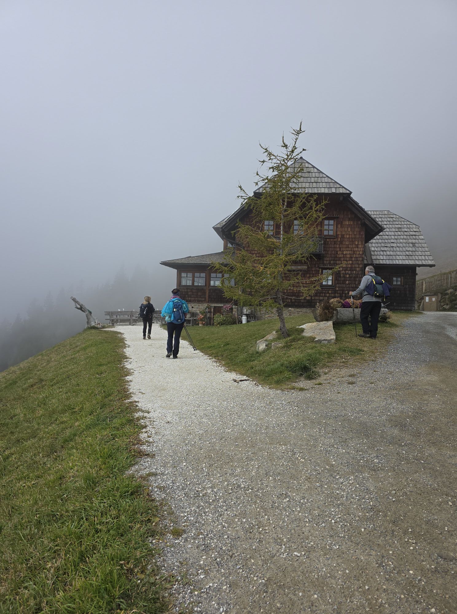
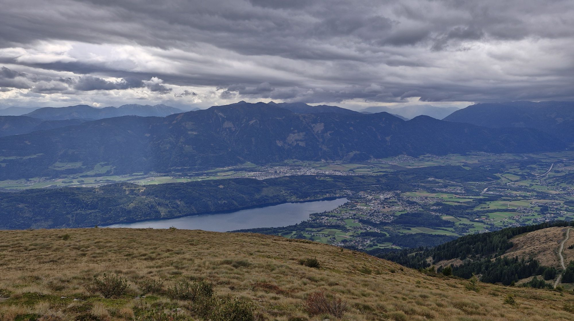
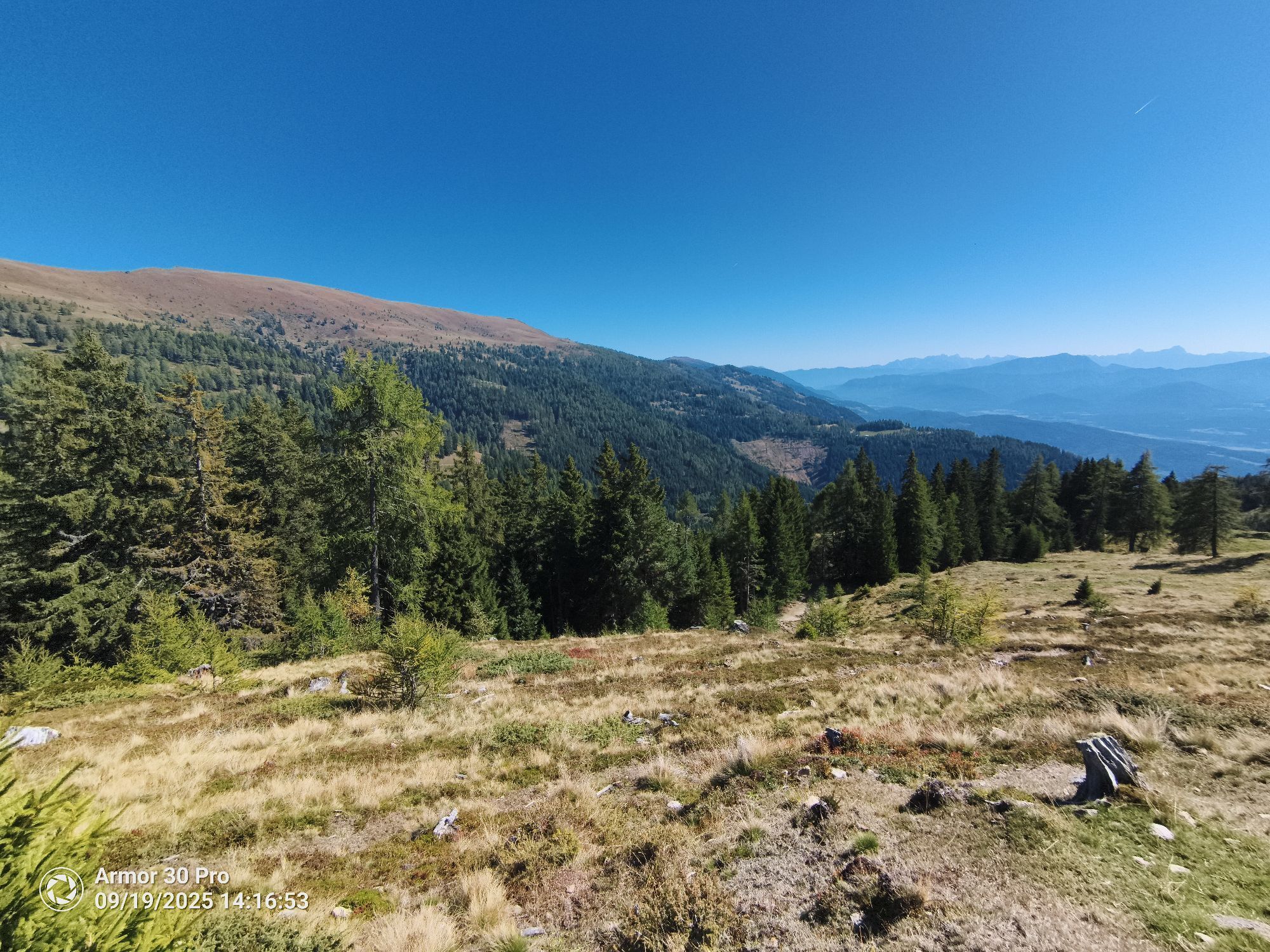
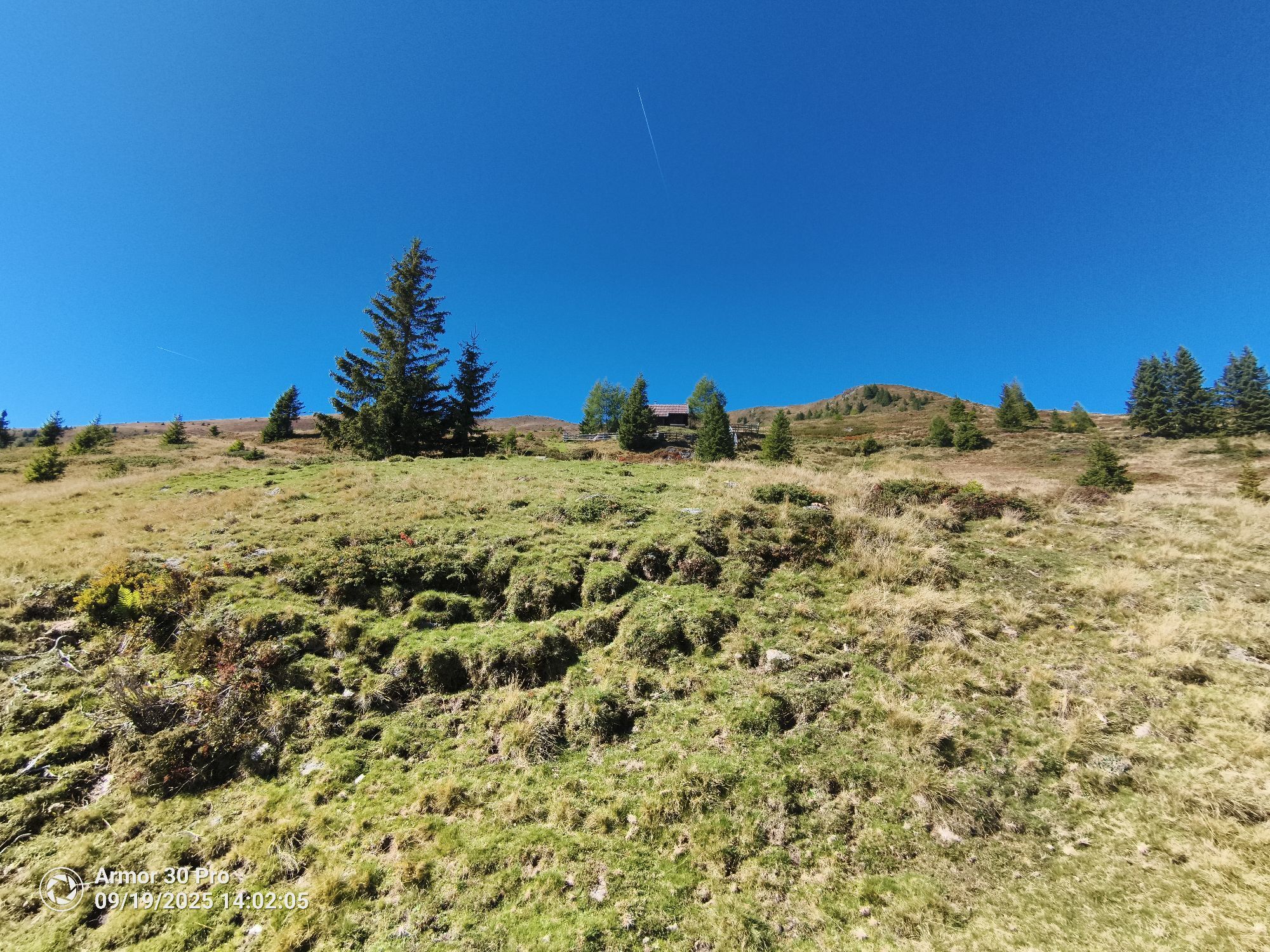
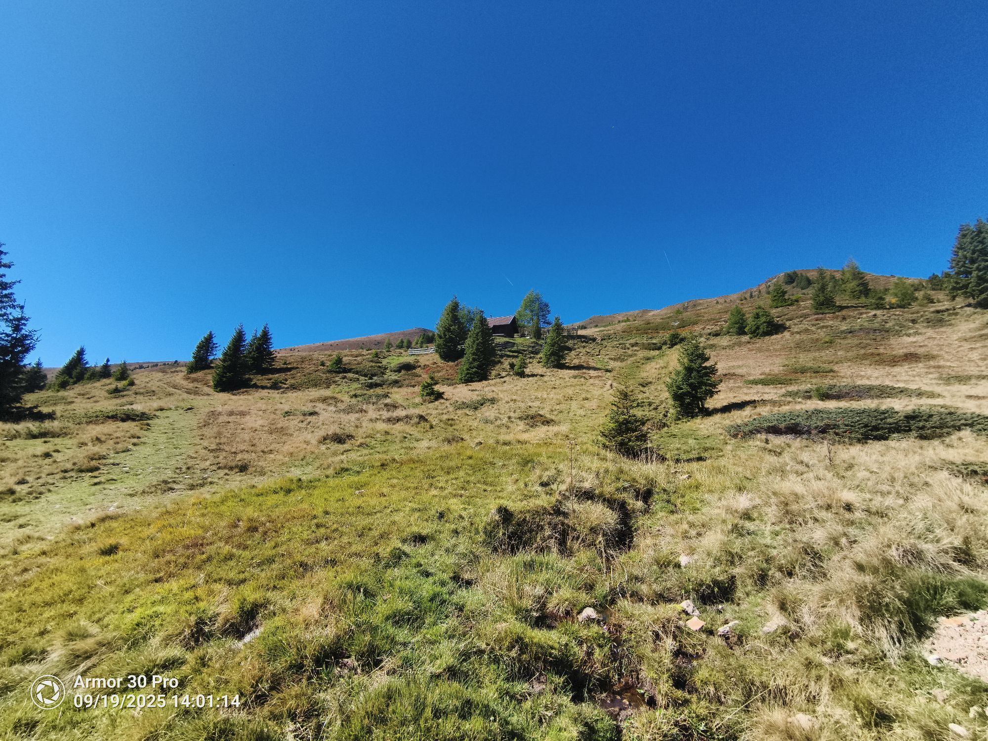

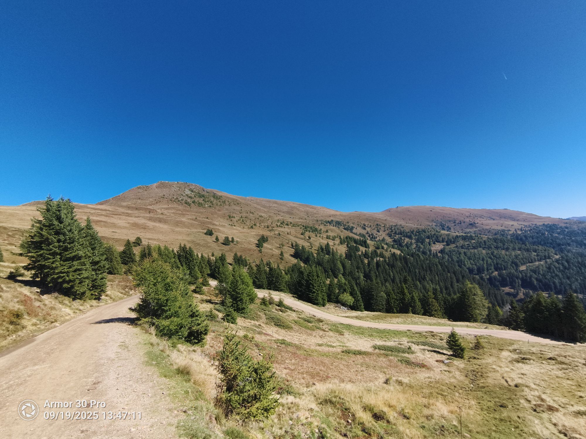

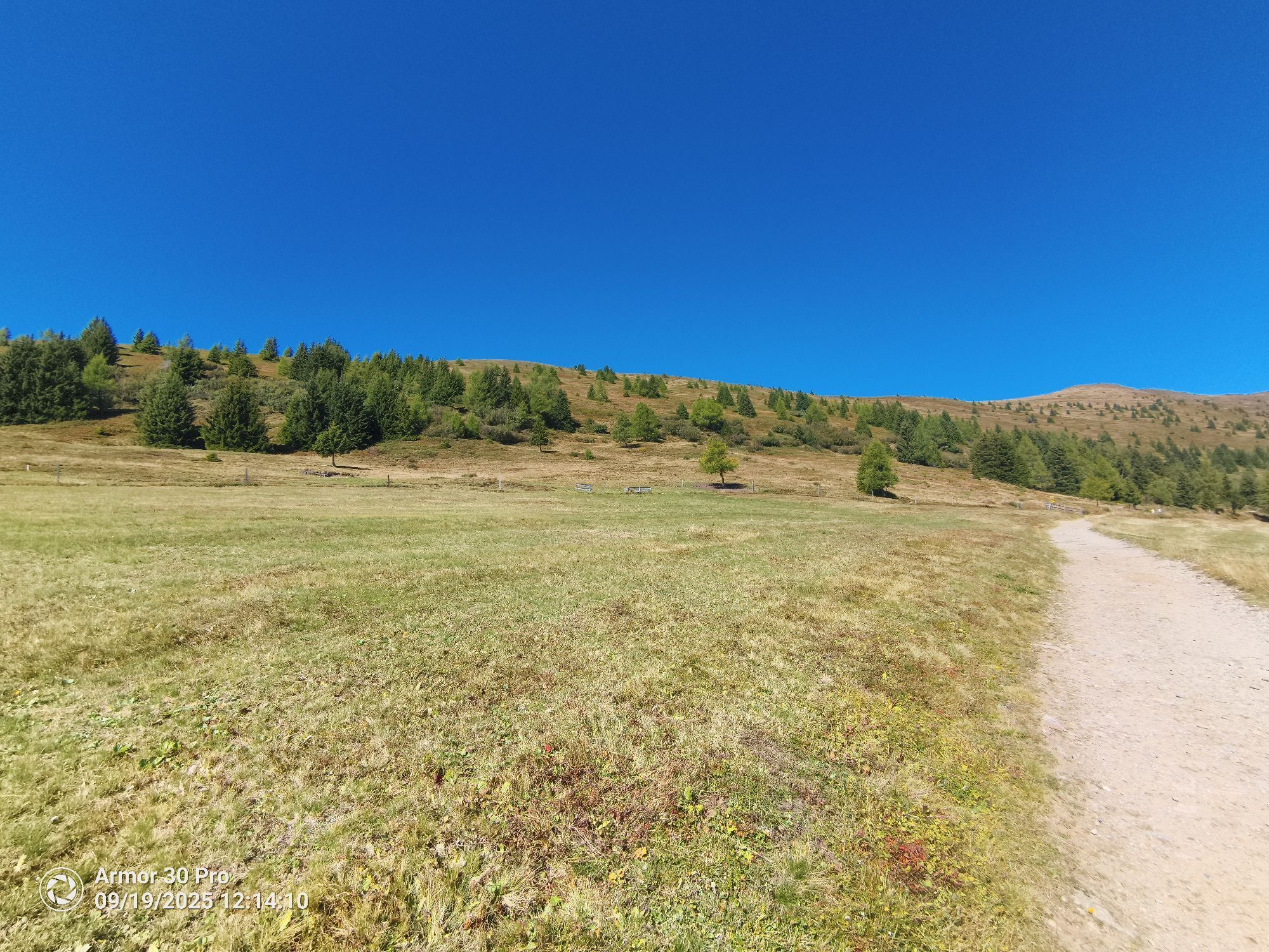
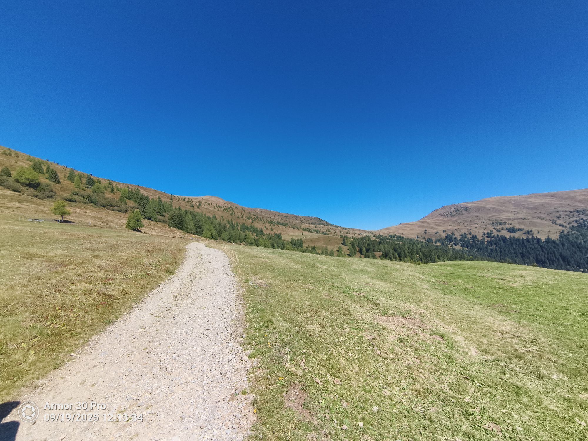
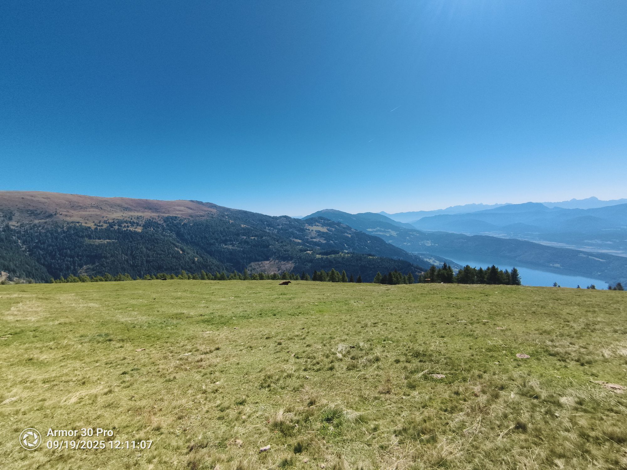

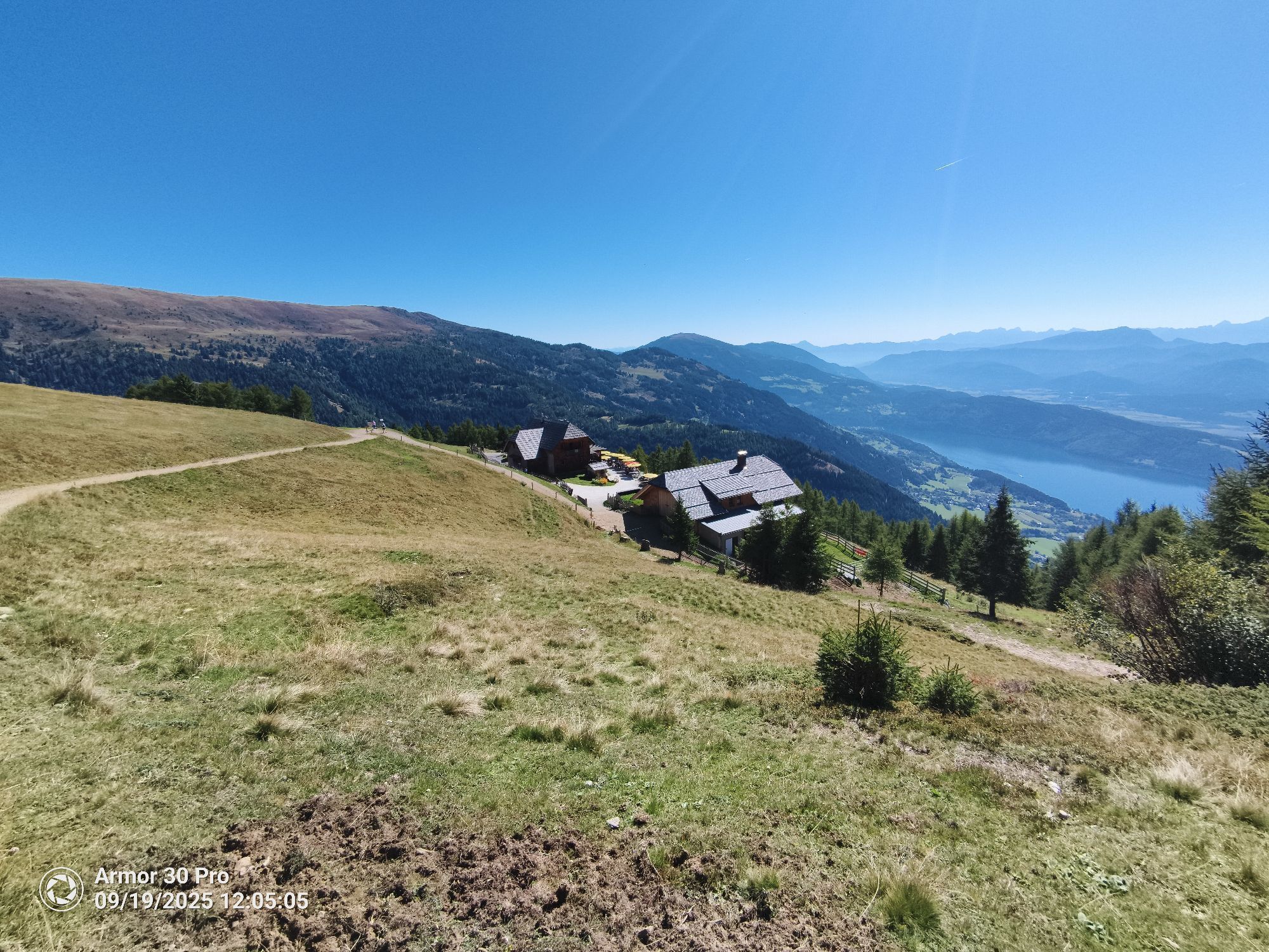
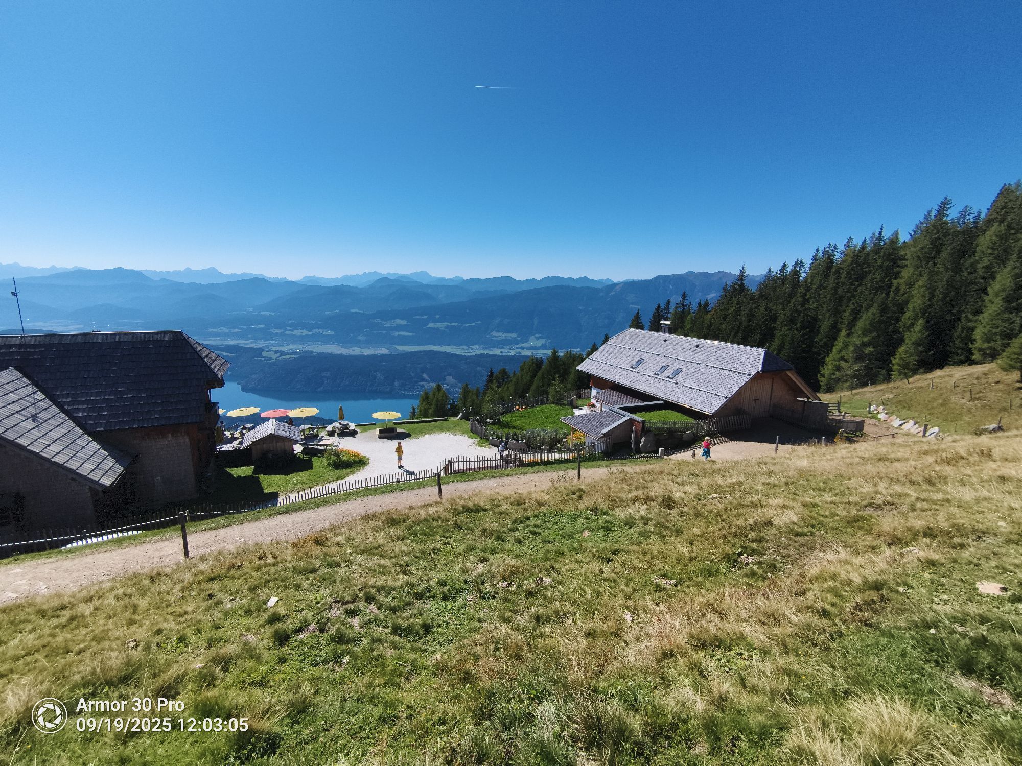
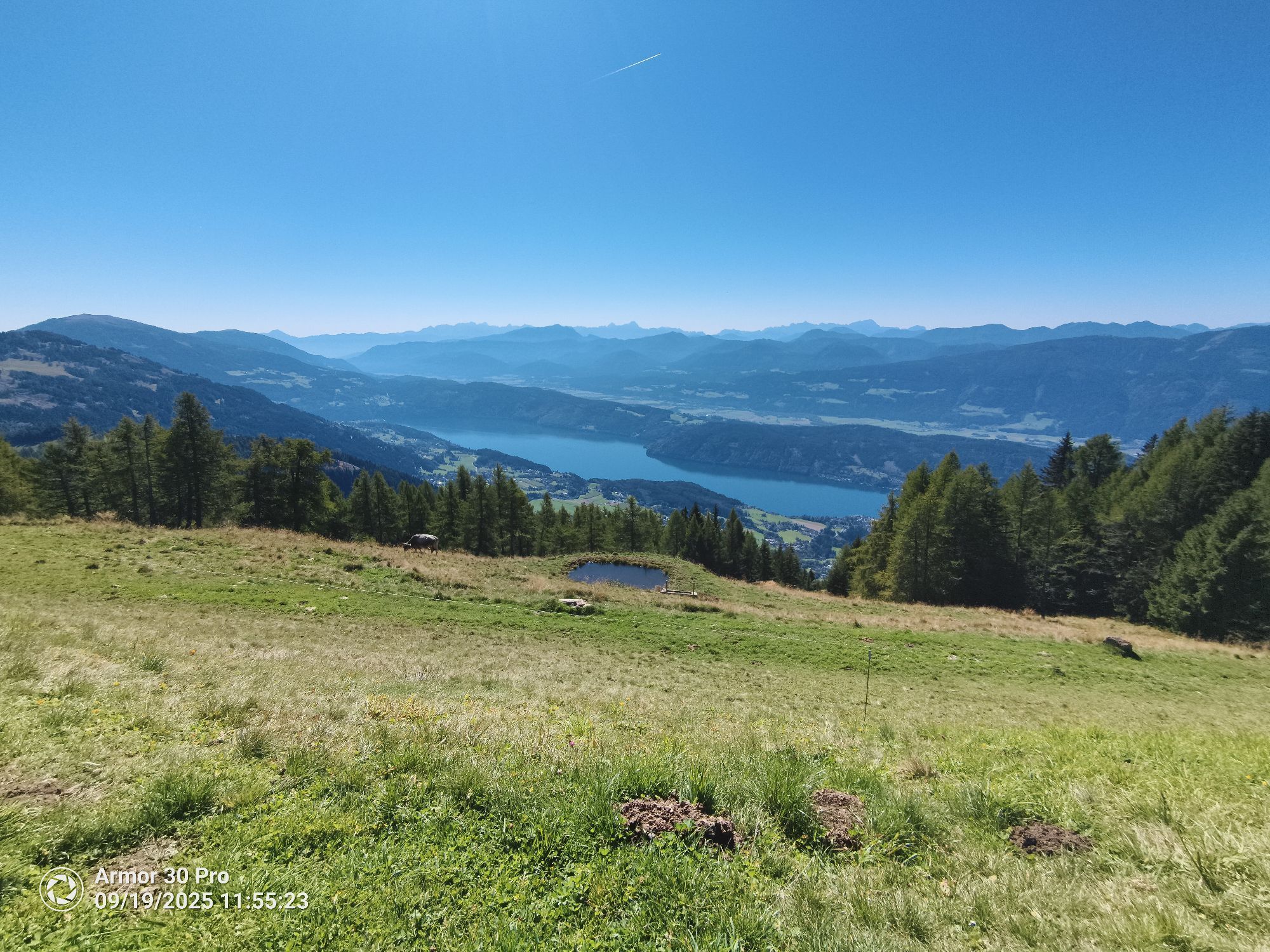
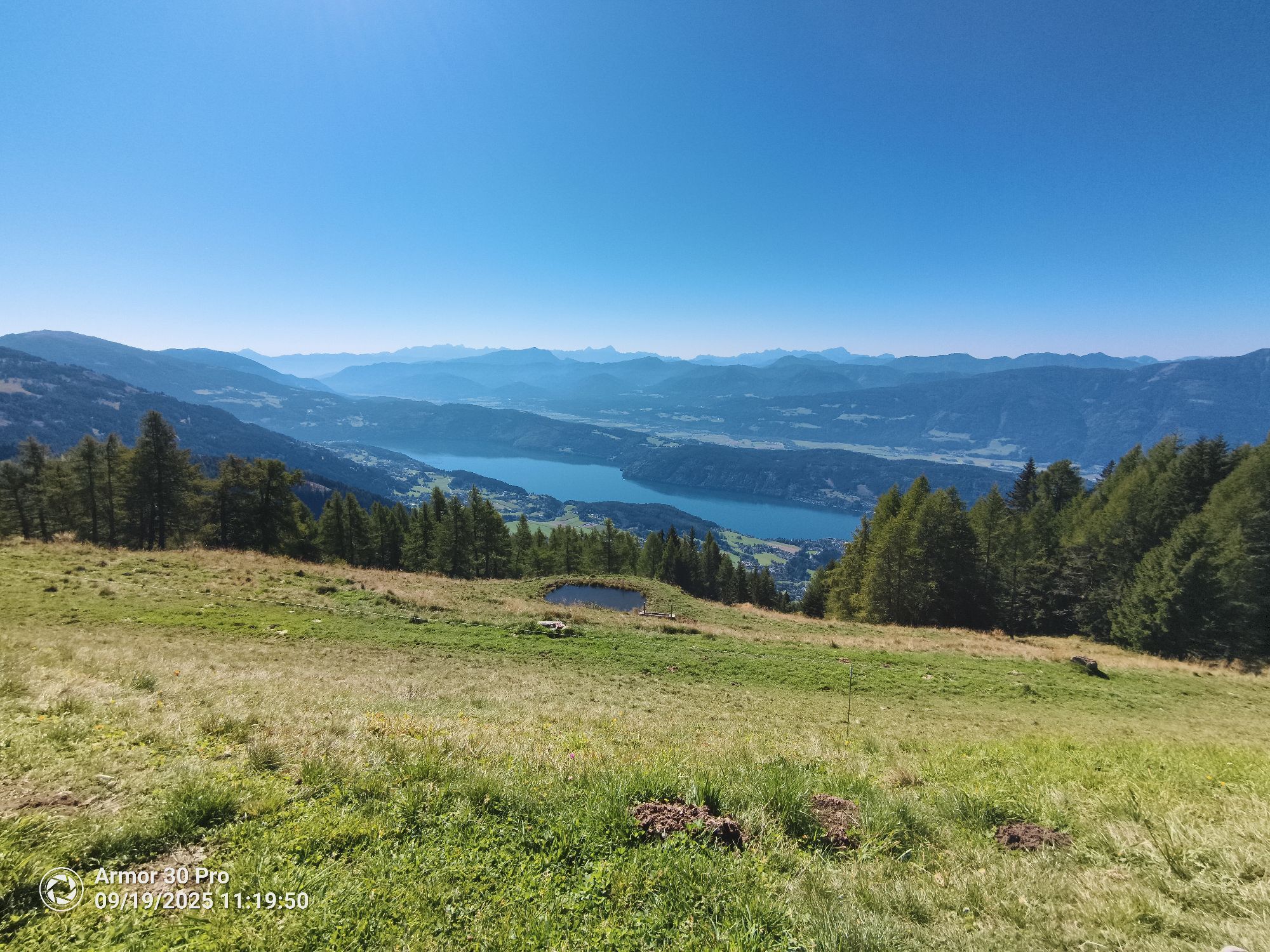
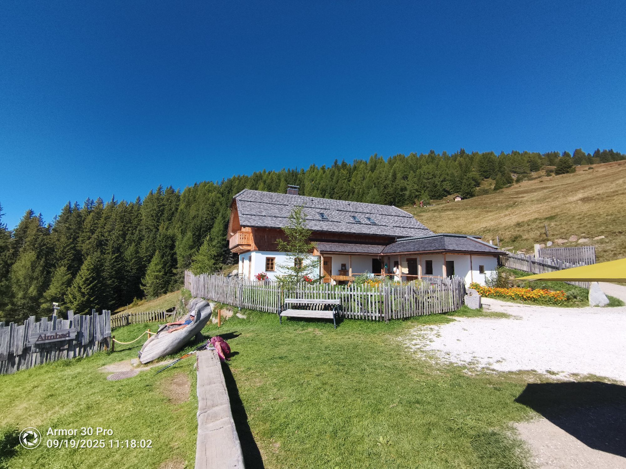
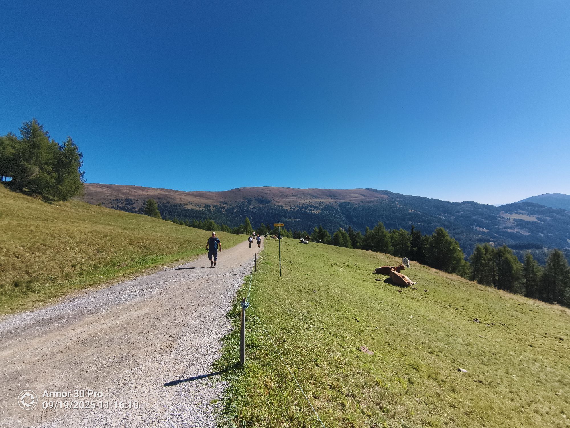
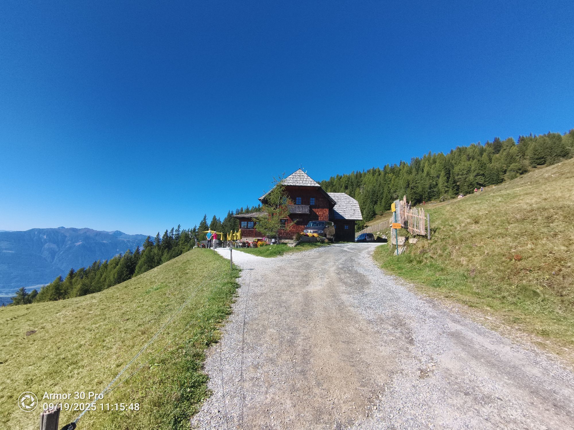
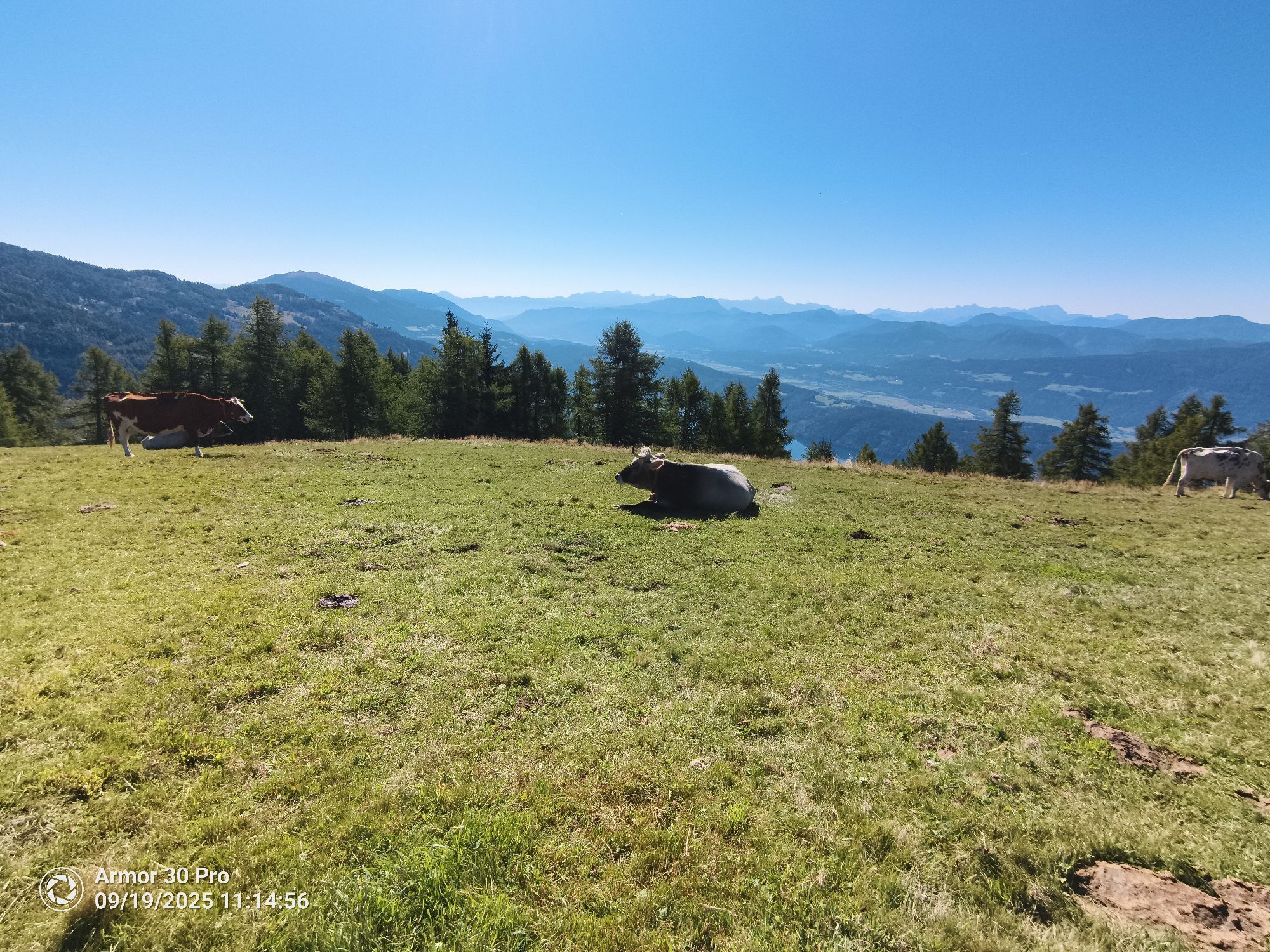
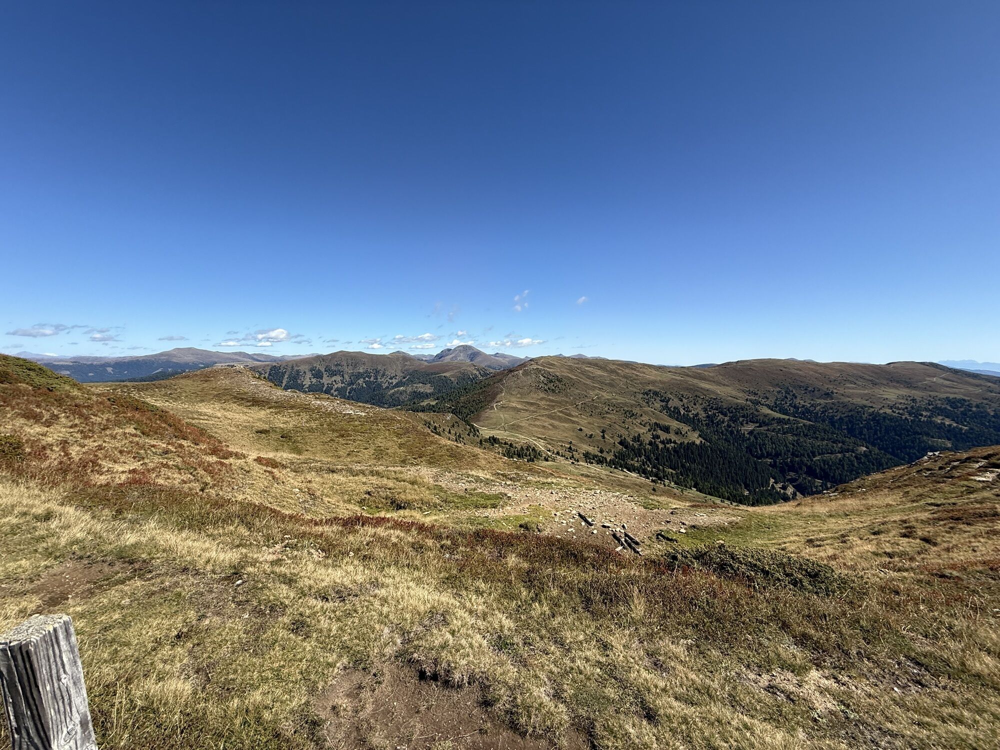
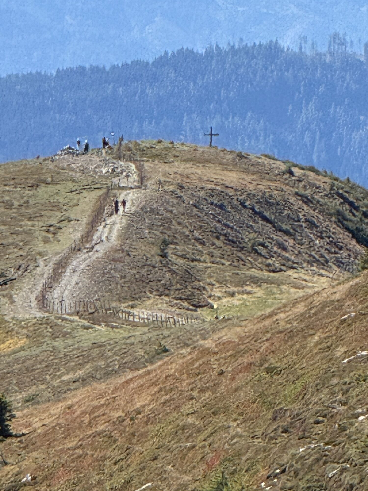


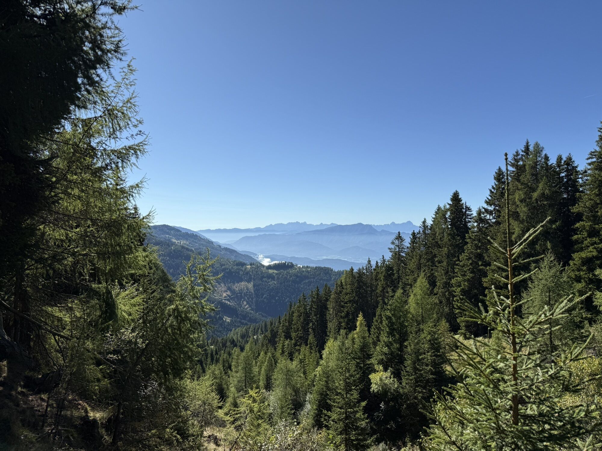

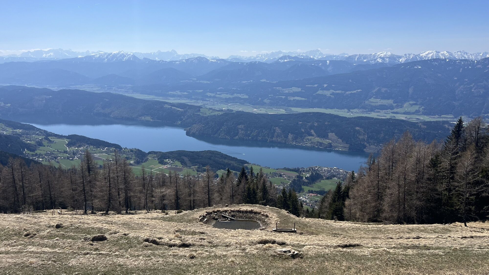


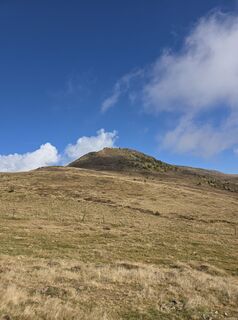
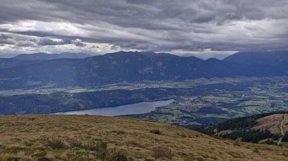
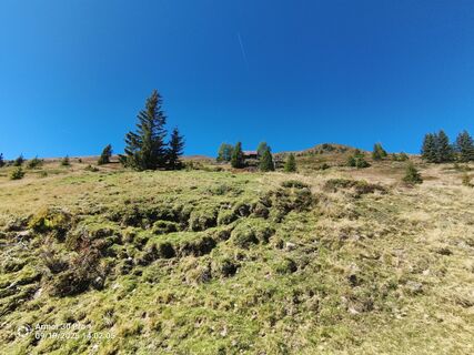
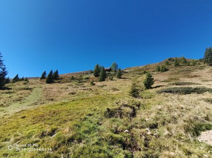
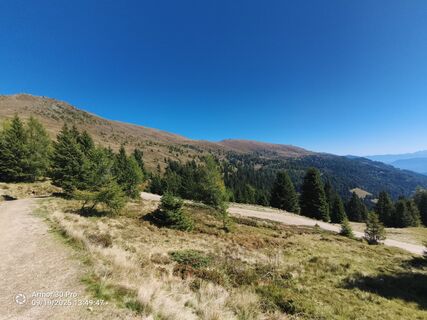
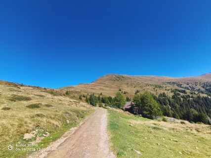
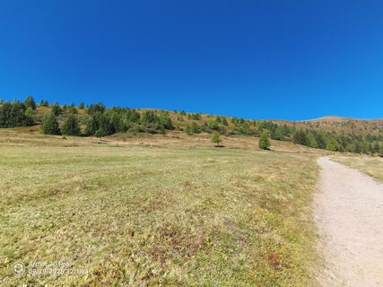
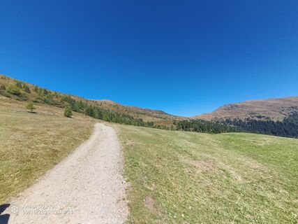
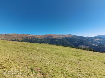
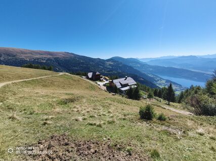
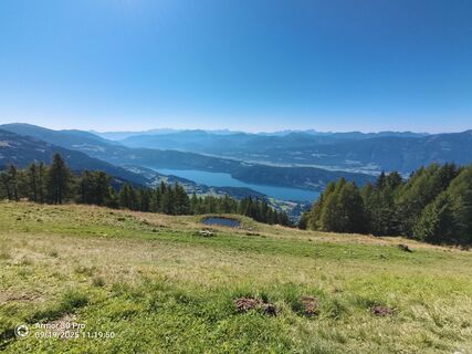
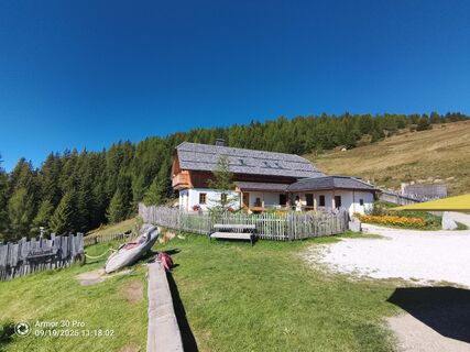
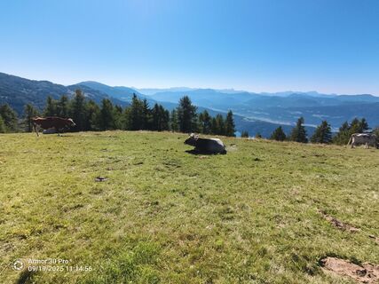
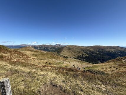
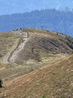
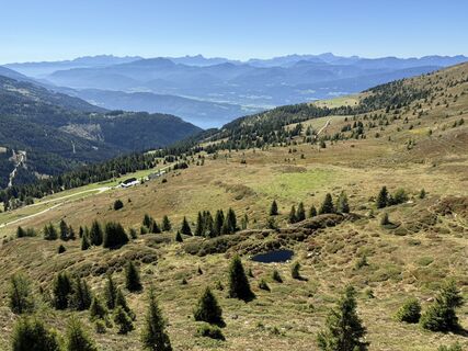
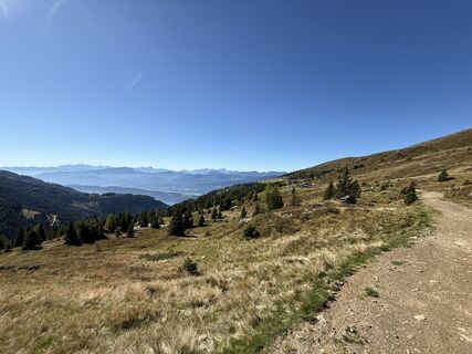
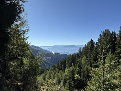
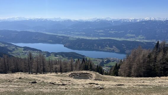
The route offers views of Lake Millstatt and the surrounding peaks of the Nockberge and Hohe Tauern. For refreshment along the route, the Schwaigerhütte, Millstätter Hütte, and AlexanderAlm invite you.
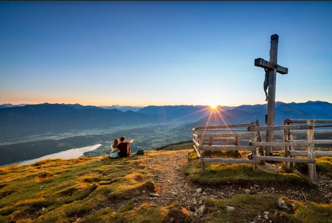
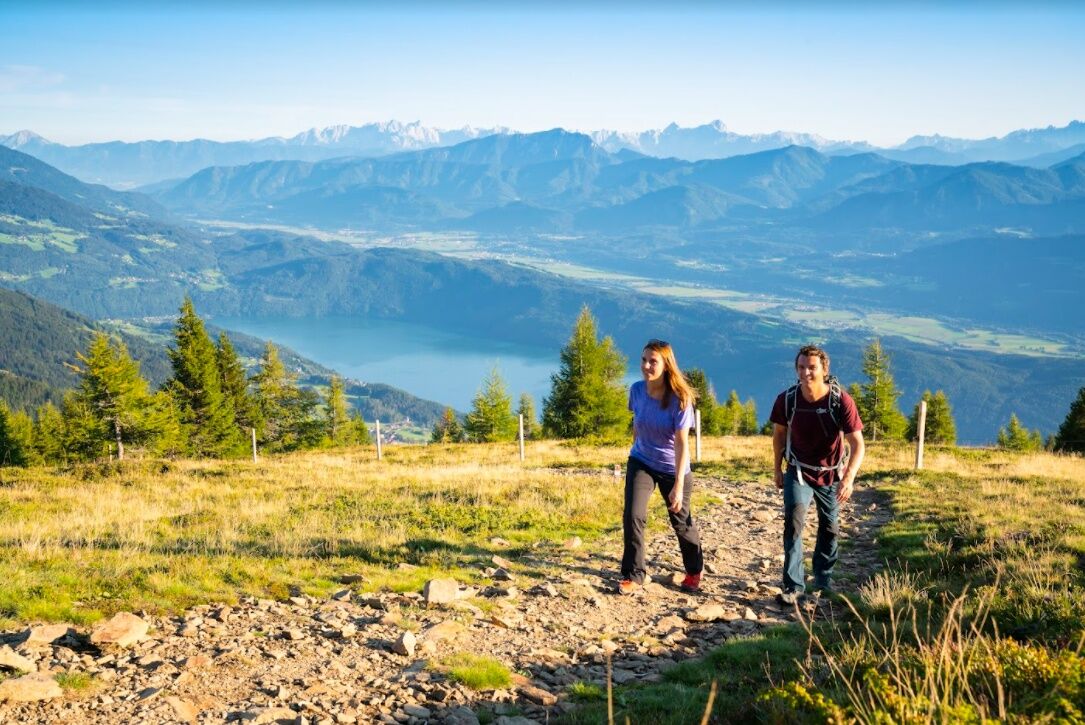
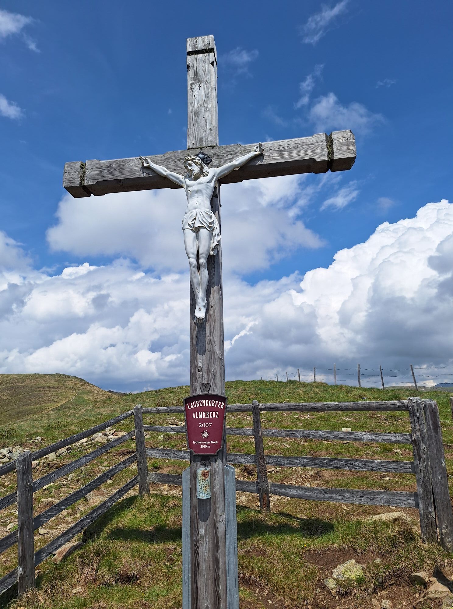
The forest road leads from the Schwaigerhütte to the Millstätterhütte and further to the Millstätter Thörl. Here, a steep ascending path branches off to the left up to the Hochpalfennock. Then follows a gentle descent to the Tschierweger Nock, with a wonderful view of Lake Millstatt, and further to the Alexanderhütte before returning back to the Schwaigerhütte.
Igen
Igen
Important prerequisites for the success of a mountain route include, besides careful study of guides and maps, optimal equipment. Basic equipment includes solid, well-fitting mountaineering or hiking boots with grippy soles, water- and wind-resistant mountain clothing worn in layers, hiking poles, functional tops for changing, sunglasses, sun protection, mobile phone, hiking map, a first aid kit, as well as enough drinks and a snack.
Proper behavior in the mountains
Careful route planning based on descriptions and hiking maps is indispensable for the success of a mountain route. Equally important is correctly assessing the mountain experience, fitness, sure-footedness, freedom from dizziness, and resilience of all participants. Never leave marked hiking trails and avoid shortcuts. Inform yourself about the weather conditions before hiking and return to the valley in case of worsening weather. The mountains are for everyone. Helping to preserve and keep them clean is the duty of every hiker. Take your waste down into the valley; the animal and plant life should be protected. Always keep dogs under control and on a short leash. If an attack by a grazing animal is foreseeable, the dog must be immediately unleashed. Austria's farmers make an important contribution to preserving our alpine landscape. We ask you as a visitor to adapt respectfully to this beautiful landscape. Meet the people working here, nature, and animals with respect.
Most important emergency numbers in case of accident in Austria
140 Alpine emergency call 144 Rescue emergency call 112 European emergency call (possible from all networks. Turn off the mobile phone and dial “112” instead of the PIN after switching it back on)
The Schwaigerhütte is accessible from Tschierweg in the market town of Millstatt am See via the 8 km long toll Millstätter Almstraße, a wide and well-maintained gravel road. The ascent should take about 30 minutes. To maintain the Almstraße and as an infrastructure contribution for the care of the alpine pastures, a toll of € 8 per car is charged (the ride is free with the Millstätter See Inclusive Card). The toll can be paid in cash (including change) or by card when going up or coming down.
As a feeder to public transport, Nockmobil is a demand-oriented dial-a-ride taxi, a green alternative to the car, and takes you flexibly from stop to stop.
Let Nockmobil take you to and from the starting point of your hike at the Schwaigerhütte (stop number 9123).
For booking a ride with Nockmobil, we recommend a lead time of about one hour. You can book your dial-a-ride taxi by phone at +43 123 500 444 24, via the app, or on the ISTmobil website.
By car, there is access to the final parking lot at the Schwaigerhütte. Here, the car can be left safely and for free.
Népszerű túrák a környéken
-
4,7
Lammersdorfer Hütte, Granattor Runde
könnyűKirándulás 9,85 km -
4,3
Sonnwiesen loop trail
közepesKirándulás 4,67 km -
4,3
Rundwanderung Millstätter Alpe
közepesKirándulás 15,8 km -
4,9
Nockbergrundwanderweg
közepesKirándulás 6,62 km -
5,0
Ski tour Goldeck from Seetal
könnyűSítúra 2,52 km -
4,7
Brunnachalm Biosphärenrunde
könnyűKirándulás 8,39 km -
4,9
Family bike ride along the bike path R9B Gmünd - Maltatal
közepesBiciklizés 33,8 km -
4,8
Enzian-Granatsteig & Almbrunn Steig
könnyűKirándulás 8 km -
4,6
Millstätter See cycle track
közepesBiciklizés 27,7 km -
4,2
Goldeck Rundwanderung
könnyűKirándulás 7,40 km
Túrázás & nyomkövetés


Ne maradjon le az ajánlatokról és az inspirációról a következő nyaralásához!
Az Ön e-mail címe hozzá lett adva a levelezőlistához.