


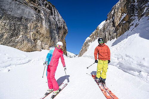
Winter hike Singerberg
Nehézségi szint: 4


Fotók felhasználóinkról
-
 © Patrick FresenbergerLétrehozta a 28.06.2025
 -
 © Patrick FresenbergerLétrehozta a 28.06.2025
 -
 © Patrick FresenbergerLétrehozta a 28.06.2025
 -
 © David MischkulnigLétrehozta a 30.07.2023
 -
 © David MischkulnigLétrehozta a 30.07.2023
 -
 © Lisa AbinaLétrehozta a 31.08.2025
 -
 © Lisa AbinaLétrehozta a 31.08.2025
 -
 © Lisa AbinaLétrehozta a 31.08.2025
 -
 © Werner LiebfahrtLétrehozta a 04.06.2025
 -
 © Maximilian PichlerLétrehozta a 29.12.2024


From Windisch Bleiberg follow the Singerberg marking and the summer path up to the east summit. Descent via west summit and Halbingsattel. Either stay on the hiking trail or follow the unmarked and somewhat...
From Windisch Bleiberg follow the Singerberg marking and the summer path up to the east summit. Descent via west summit and Halbingsattel. Either stay on the hiking trail or follow the unmarked and somewhat branched forest road.
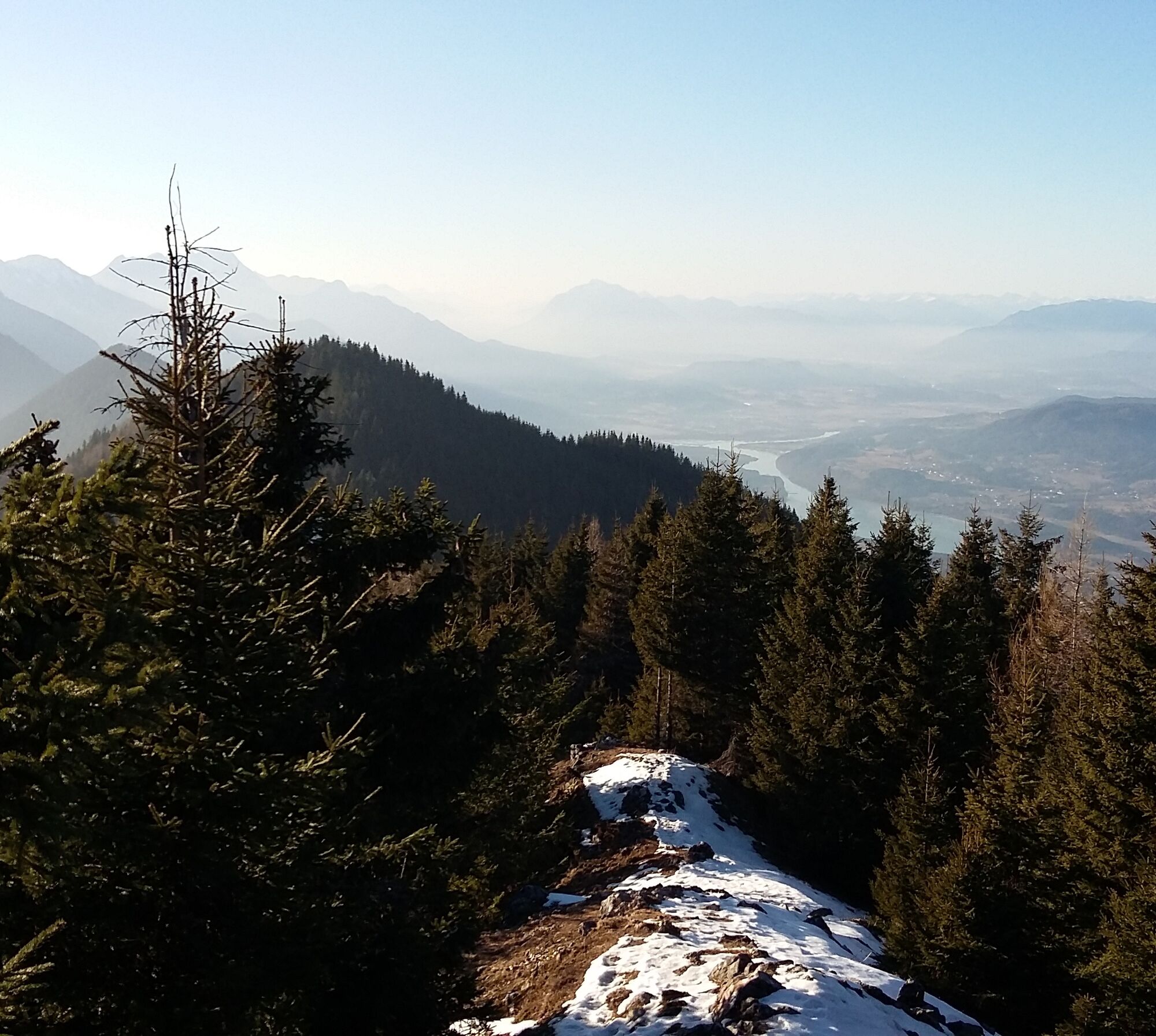
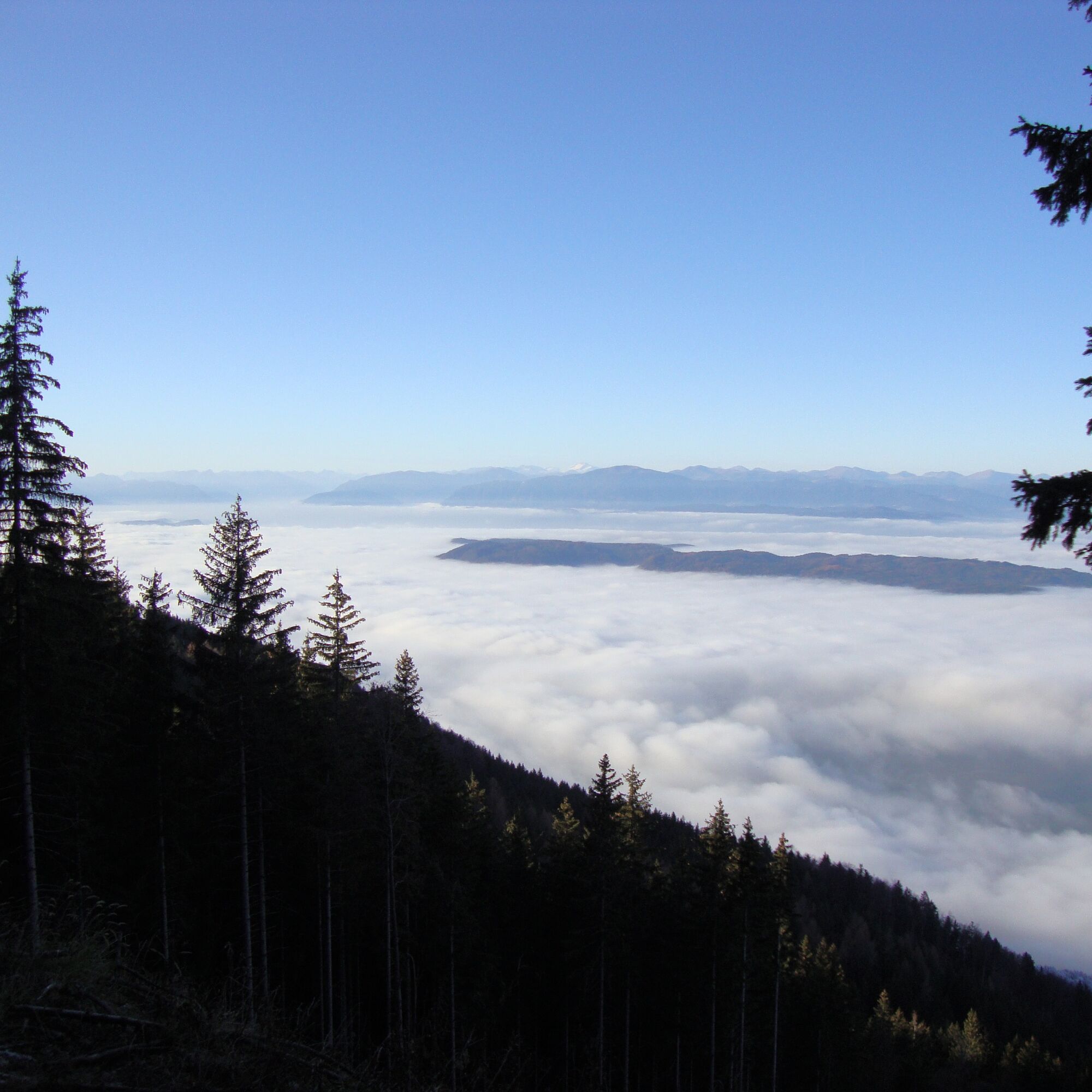
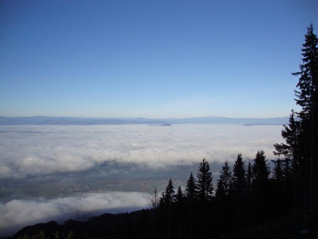
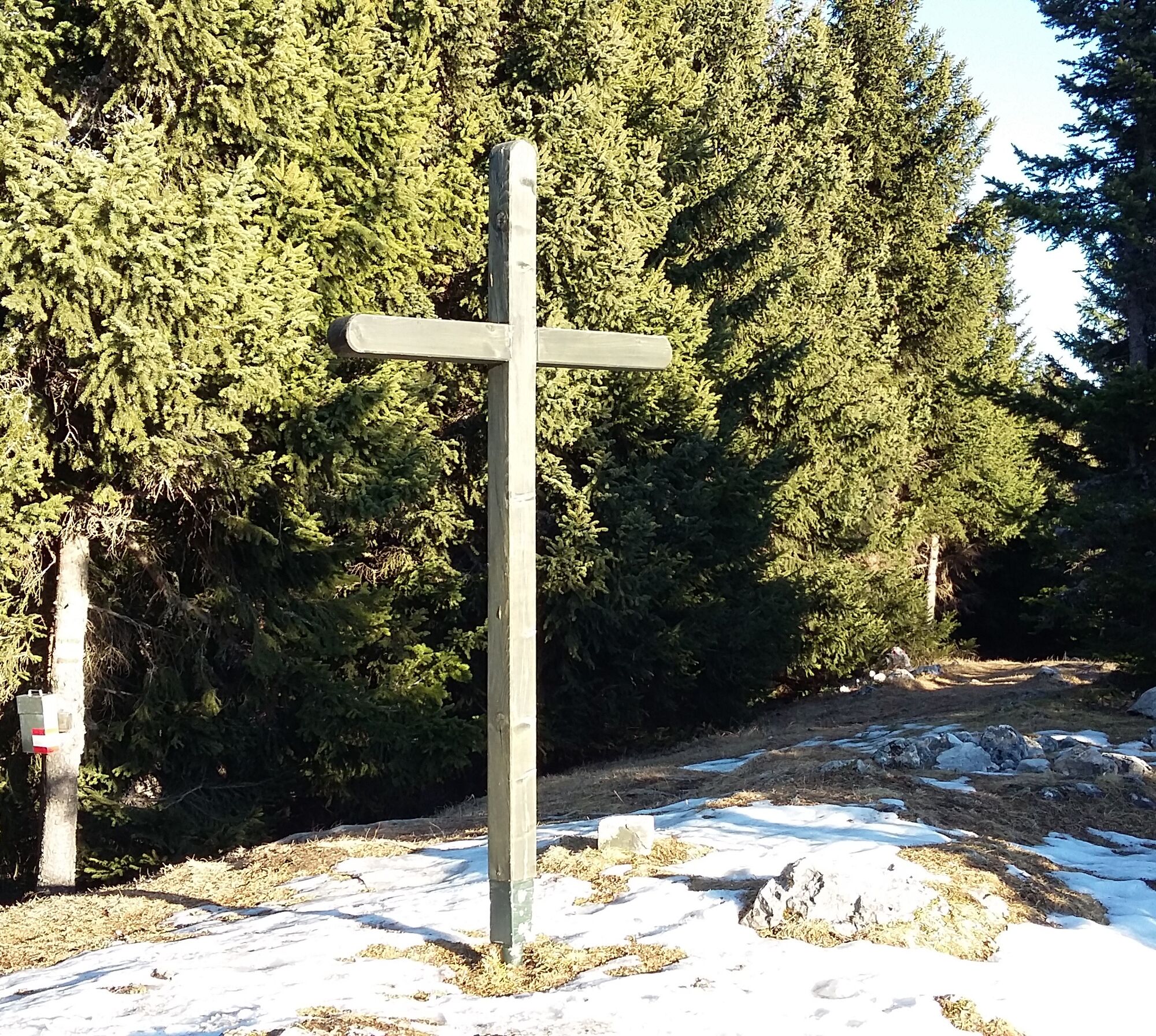
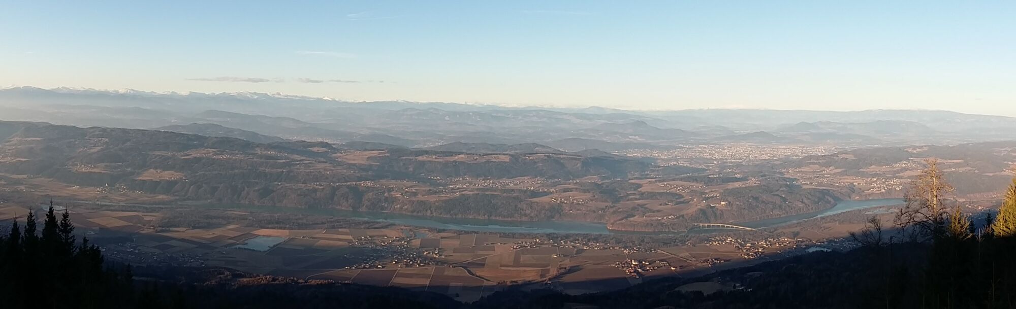
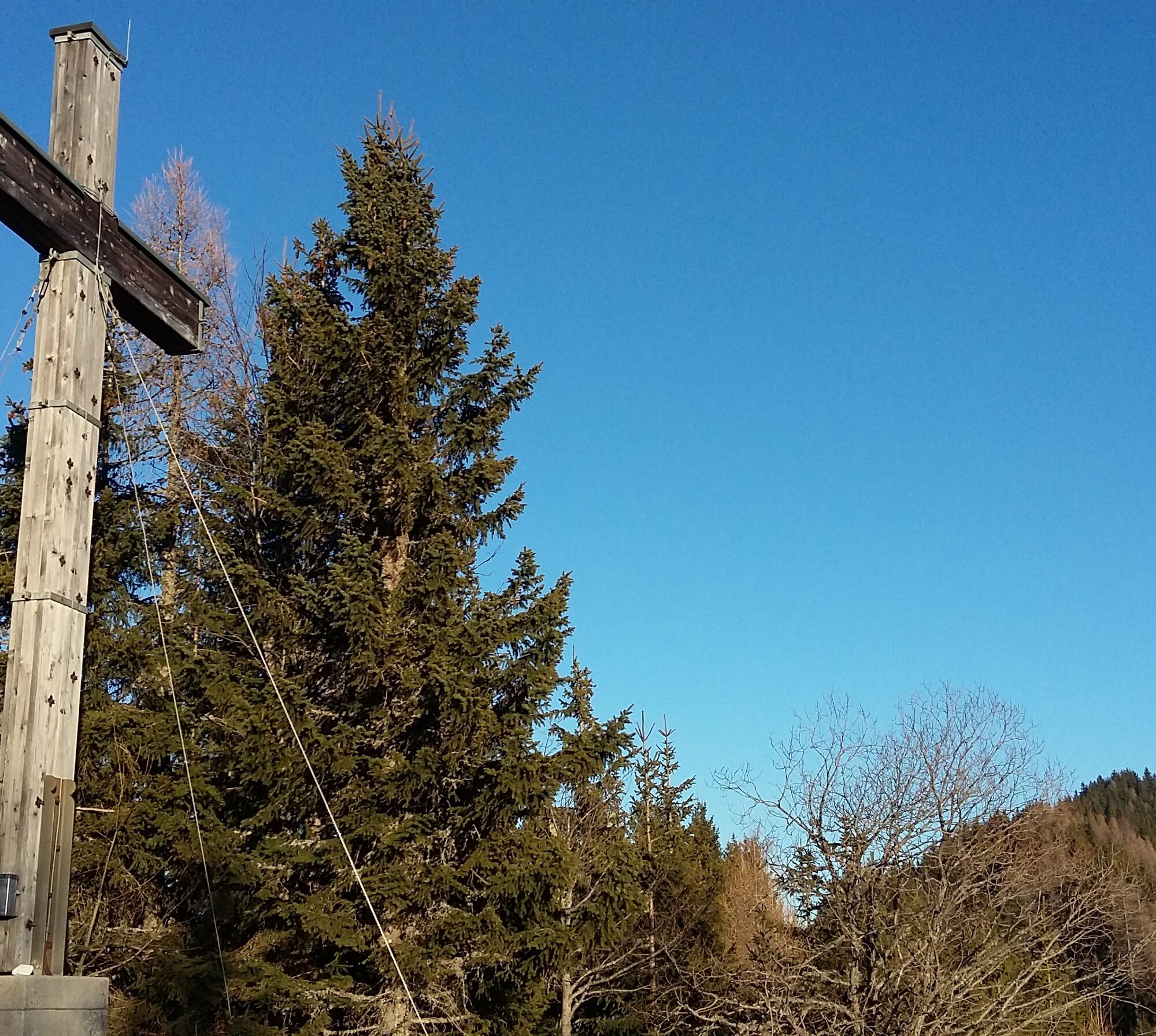
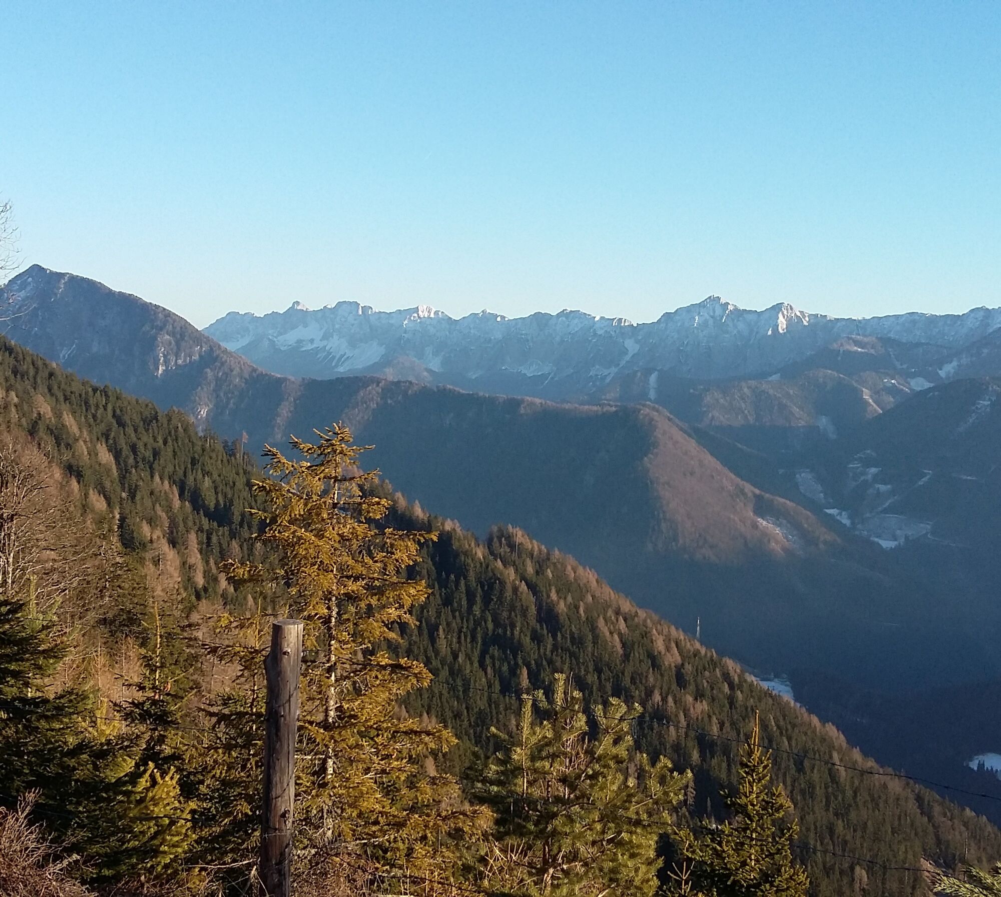
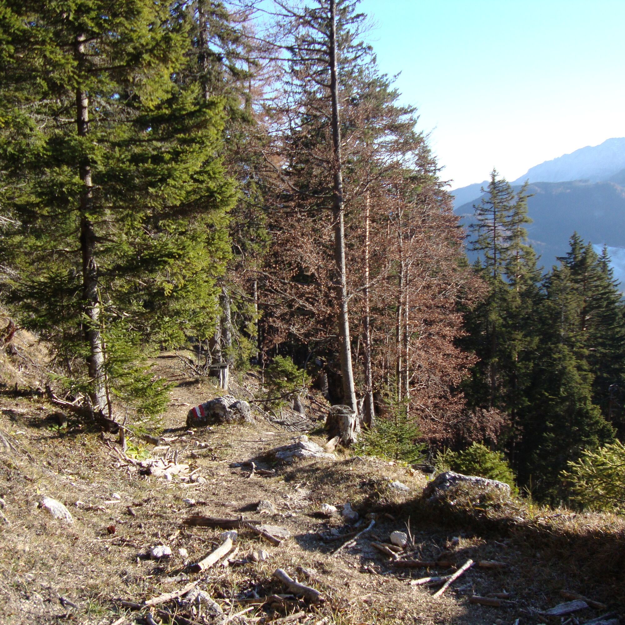
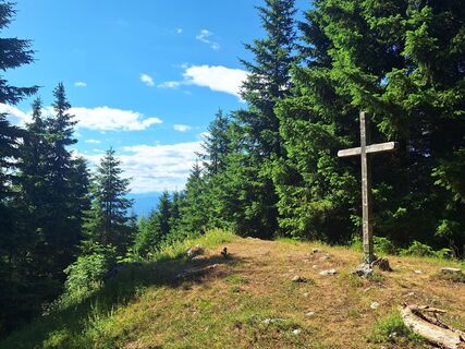
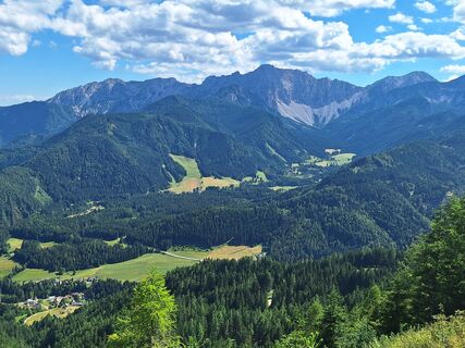
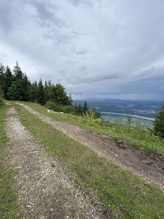
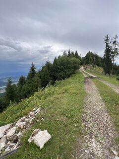
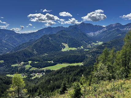
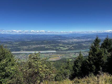
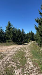
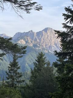
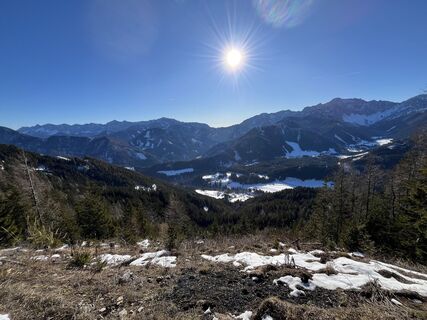
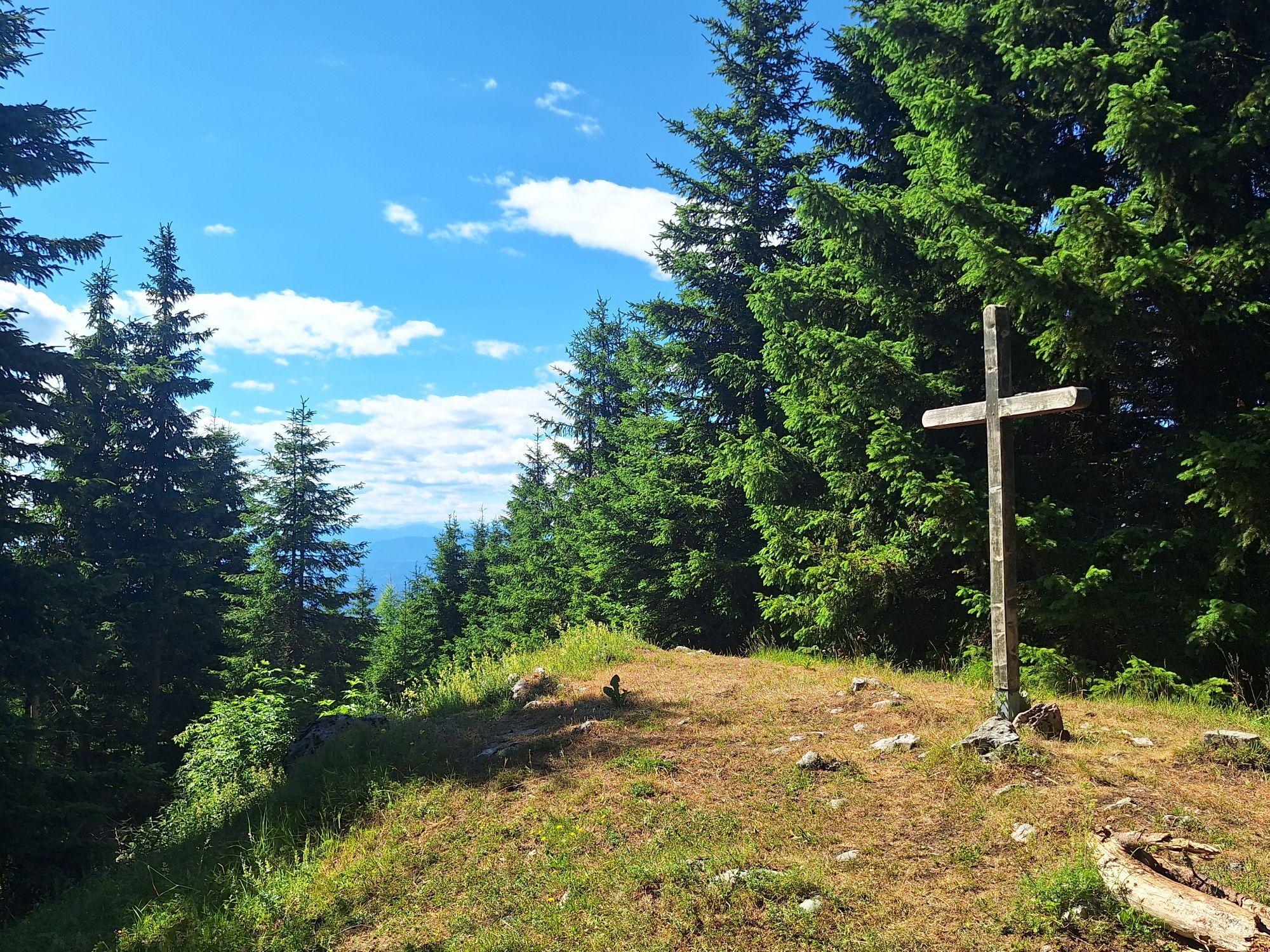
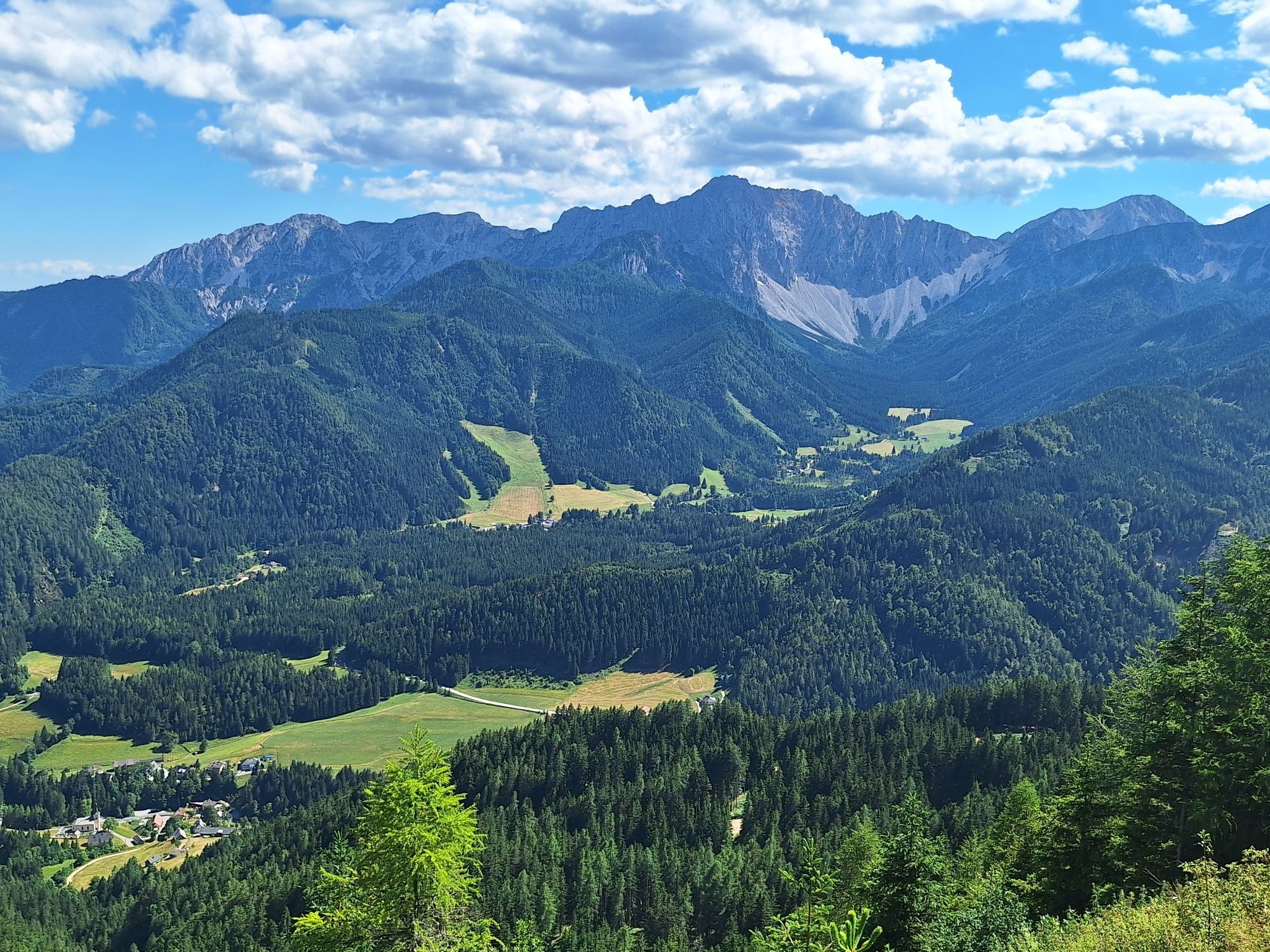
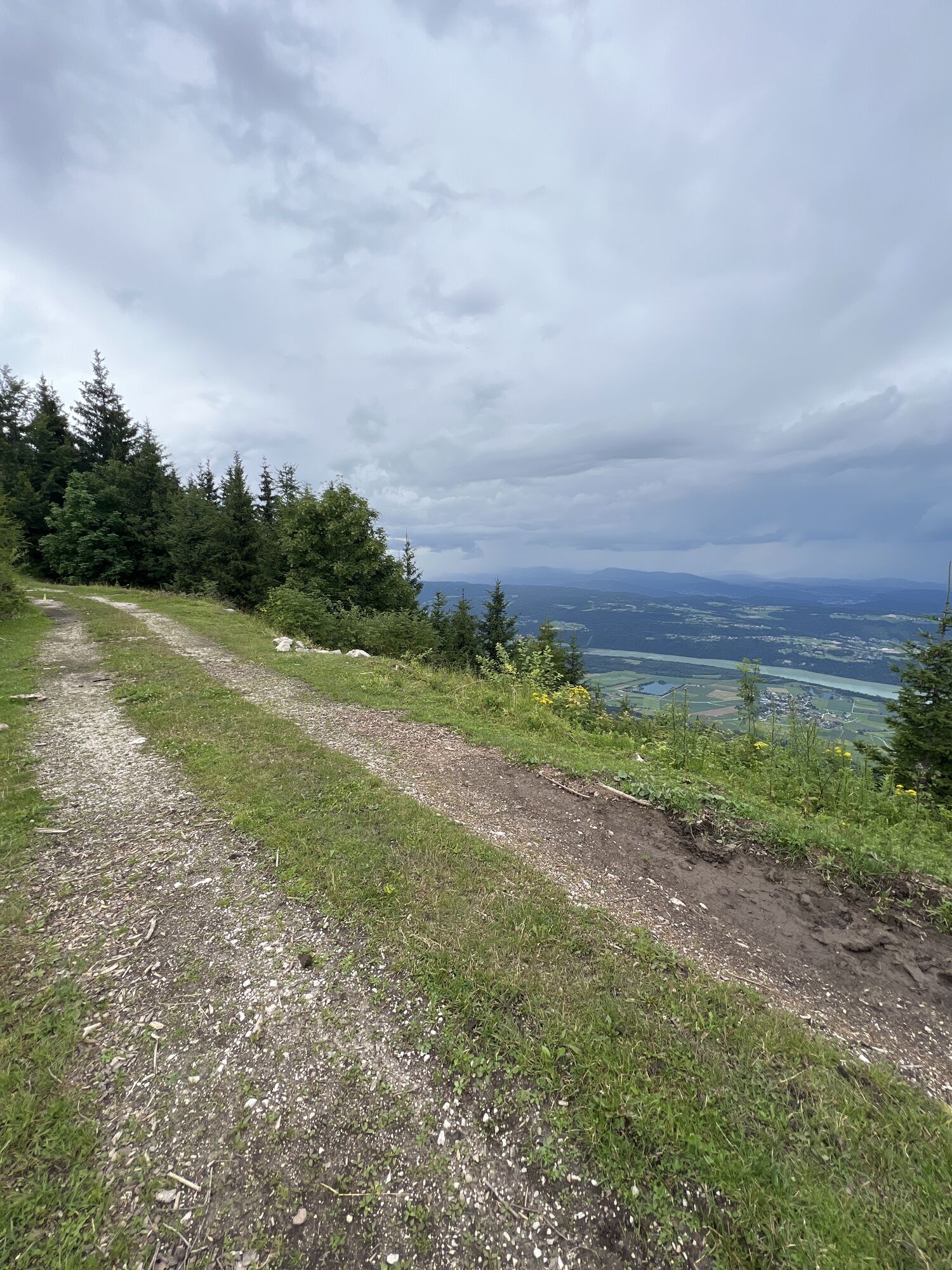
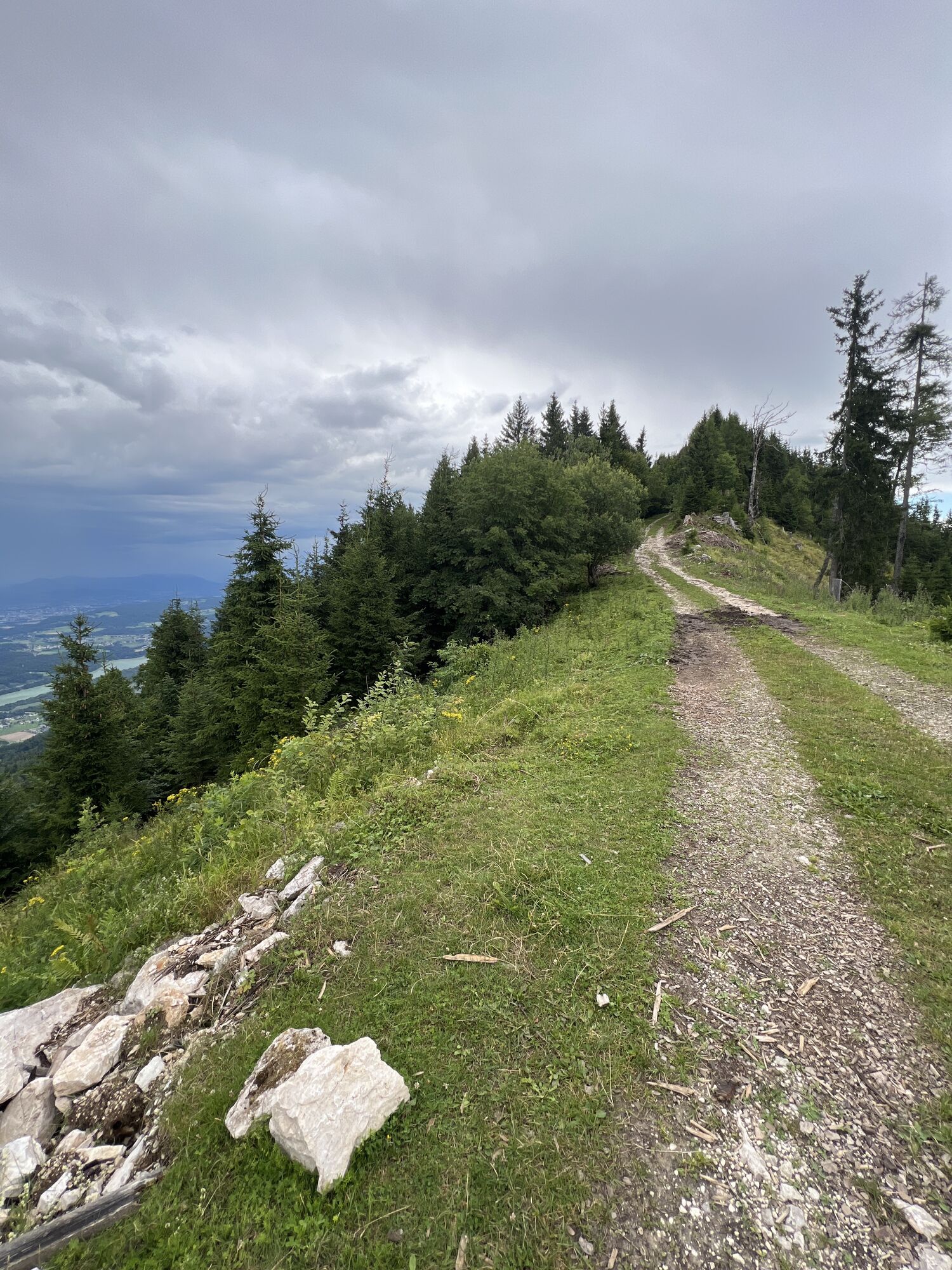
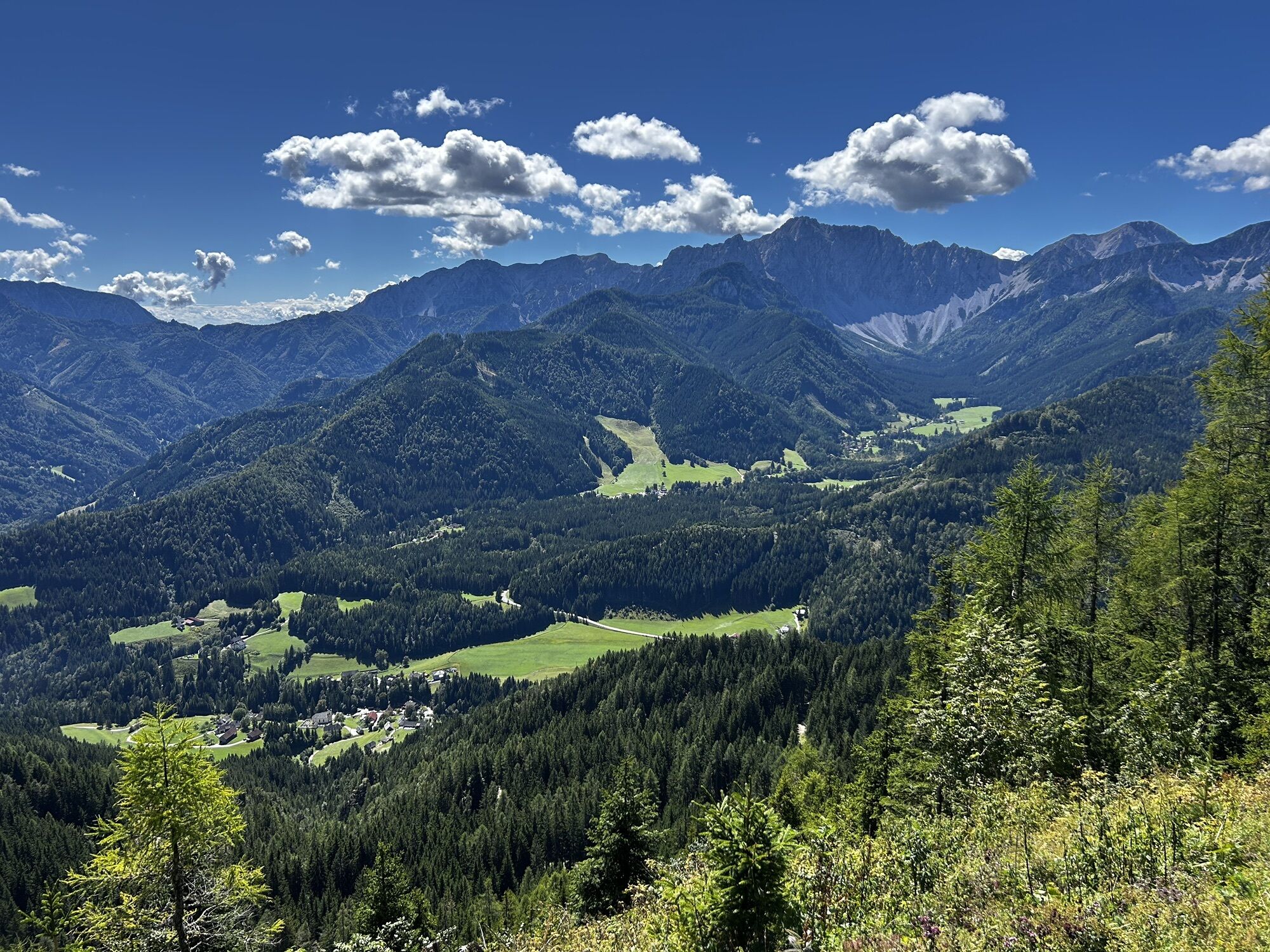
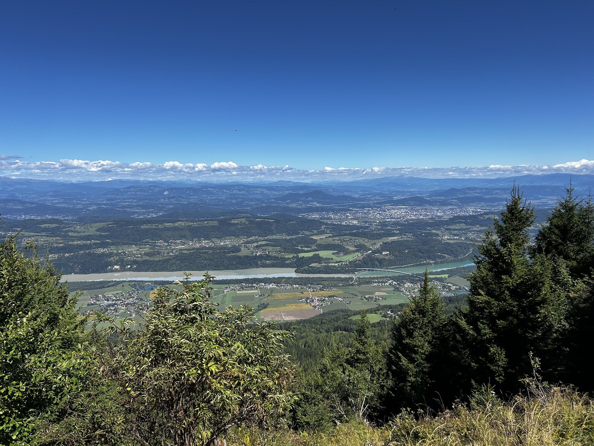
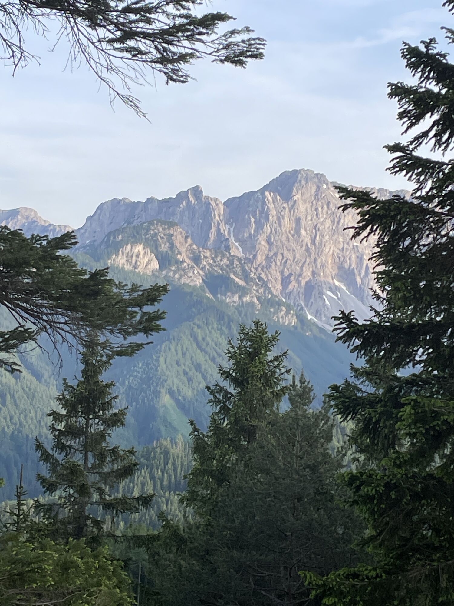
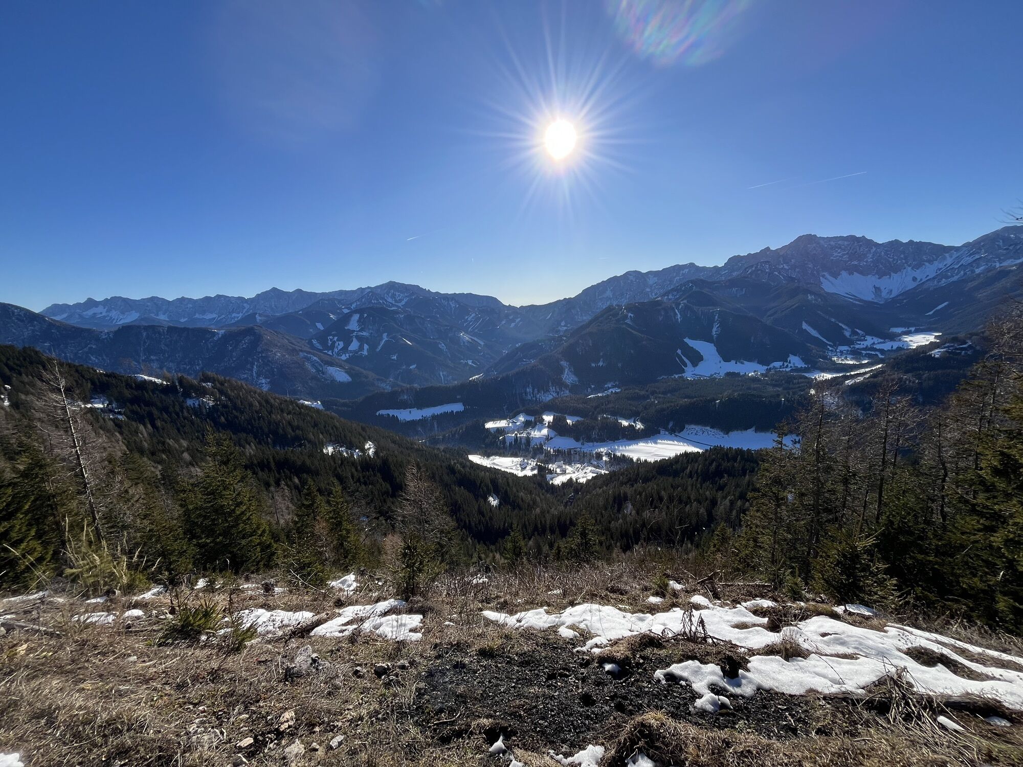
From the parking below the church we hike past the Gasthof Kirchenwirt, following the cart path and the marking across the meadow to the upper houses. There we follow the gravel path to the left, soon the hiking trail to Singerberg branches off to the right. At the yellow hiking trail sign do not turn left towards Halbingsattel but follow the marked hiking trail No. 654 straight ahead. Across a small brook through the forest steeply up, later crossing several forest roads. Always follow the marking uphill. Soon the last forest road is reached. From here beautiful views of the Karawanks and the Bodental. In a few minutes to a "small peak", from there a short descent and then continue along the north-facing forest road eastwards. Subsequently turn left off the forest road and follow the marking about 10 minutes to the "small" summit cross. This is also the highest point of the hike (1589 m).
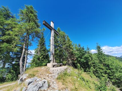
Return the same way as the ascent or alternatively bypass the "small peak" along the two forest roads (2 options). Past the launch ramp of the hang gliders to the "large" summit cross on the level ridge of Singerberg. Follow the forest road to Halbingsattel, here turn left heading south following the marking and the yellow hiking trail signs. Shortly before leaving the forest, you meet the path known from the ascent. Follow this down to the parking lot.
Igen
Igen
Igen
Pack complete hiking equipment, appropriate mountain boots, hiking poles, Grödls (=snow chains for the boots)
On the Loibl Pass federal road towards Slovenia, turn right onto "Sapotniza" towards Windisch Bleiberg and then the road leads further into the Bodental.
two parking spaces directly on the road below the church
4
Visit two summit crosses on one hike
Népszerű túrák a környéken
-
4,2
Lake Wörthersee Round Trip (Wörthersee - Keutschacher Seental)
közepesBiciklizés 48,2 km -
4,2
From Bärental to the Kosiak (Klagenfurter Hut)
közepesKirándulás 9,67 km -
4,7
Water experience trail Hainschgraben
közepesKirándulás 9,23 km -
4,3
Pyramidenkogel path Maria Wörth
közepesKirándulás 10,8 km -
4,7
Sinacher Gupf crossing
közepesKirándulás 8,32 km -
4,5
Via ferrata Lärchenturm
nehézVia ferrata 6,15 km -
4,6
Ogrisalm ab Bodenbauer, Kärnten/Österreich
könnyűSítúra 11,2 km -
4,6
Kosiak
közepesKirándulás 9,58 km -
3,8
Singerberg, über die Südseite
közepesKirándulás 7,87 km -
4,4
Lärchenturm (C/D) Koschutaüberschreitung ÖTK Steig (B/C) im Abstieg
nehézVia ferrata 8 km
Túrázás & nyomkövetés


Ne maradjon le az ajánlatokról és az inspirációról a következő nyaralásához!
Az Ön e-mail címe hozzá lett adva a levelezőlistához.