


Louhoksen Kierros- circular hiking route, 8,6 km, Kivesvaara Finland


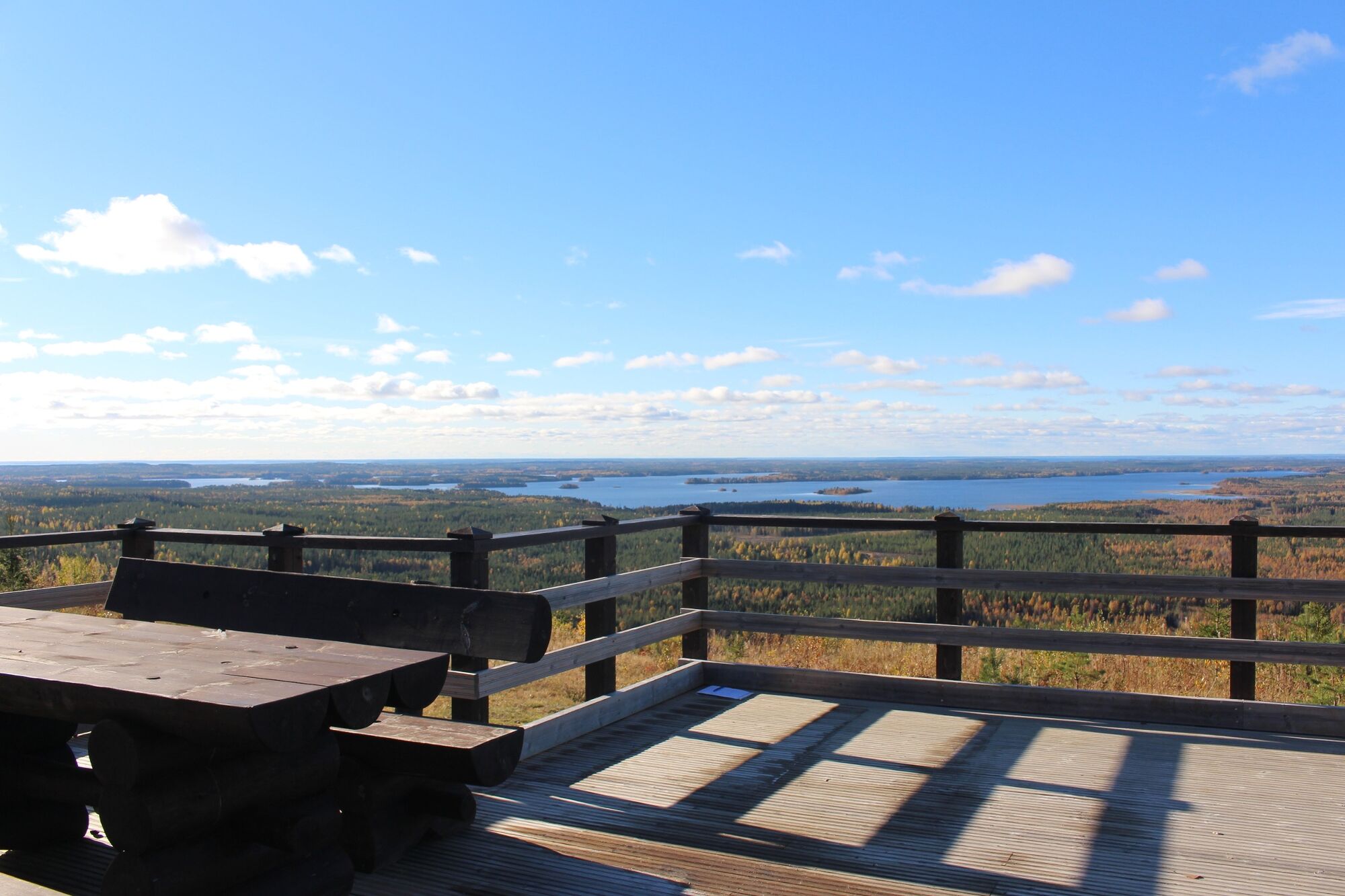
The hike starts at the top of Kivesvaara hill next to the parking spot. At the beginning of your hike take some time to explore the top of Kivesvaara hill. There you will find a scenic viewpoint where...
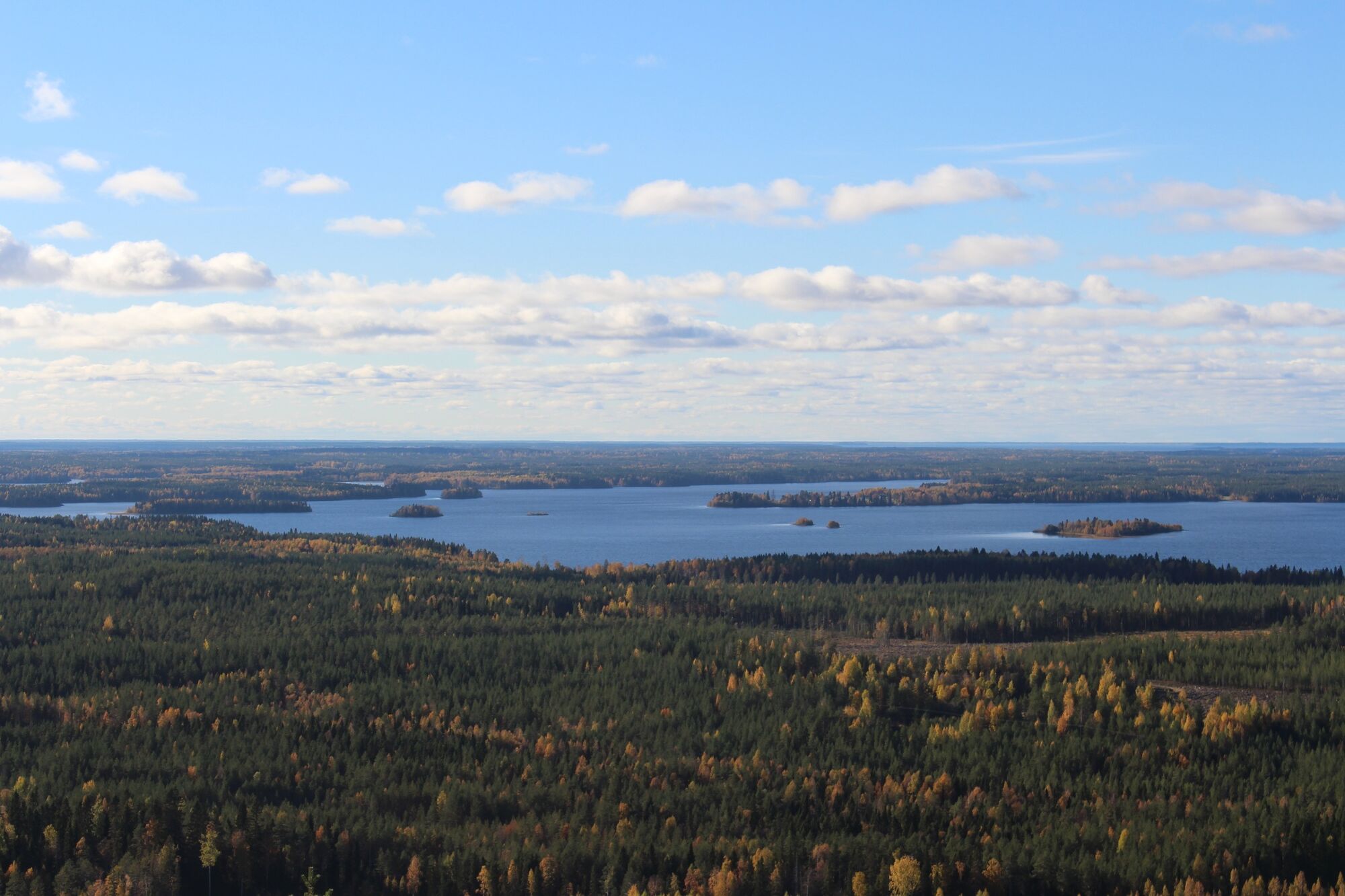
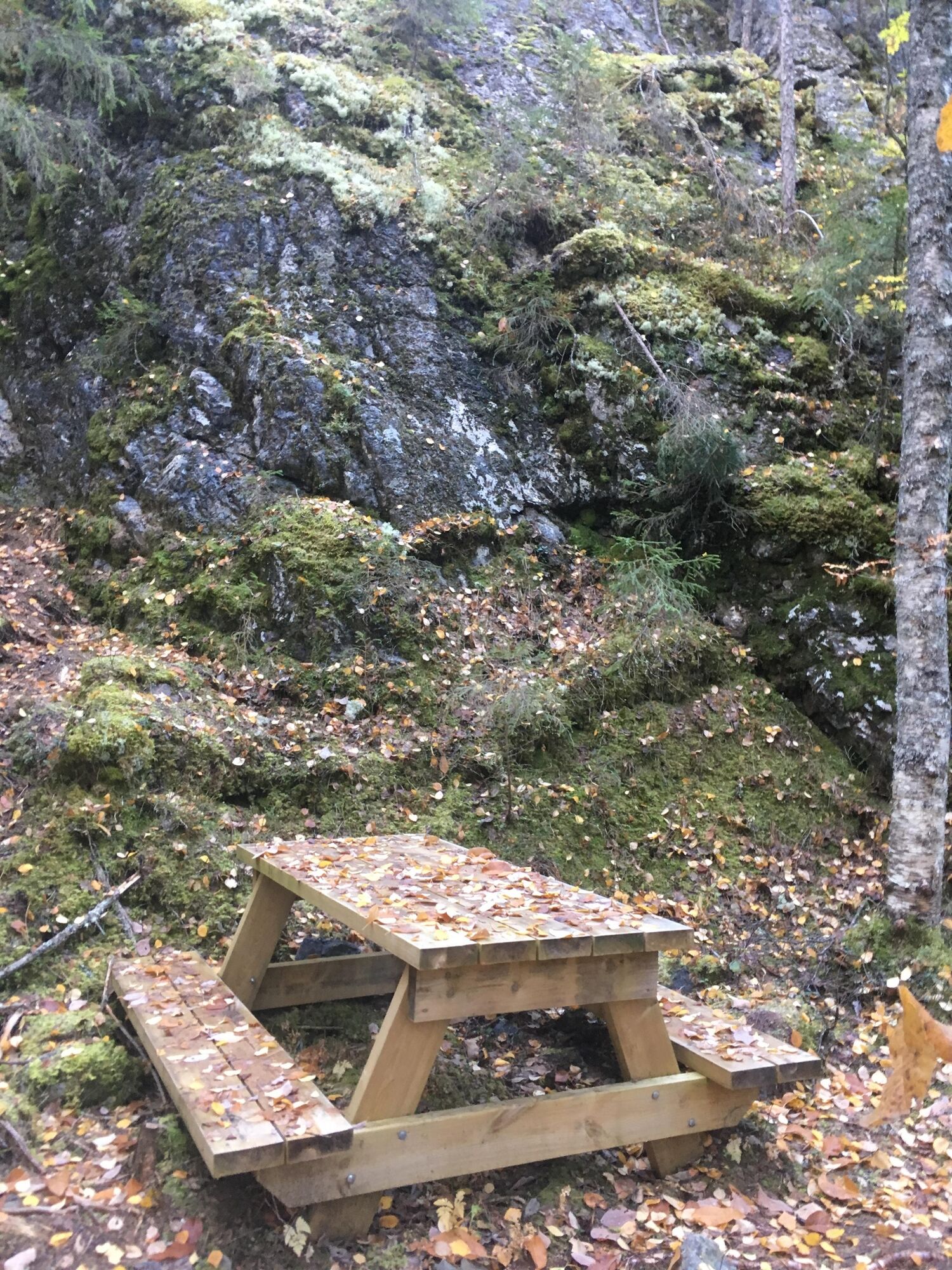
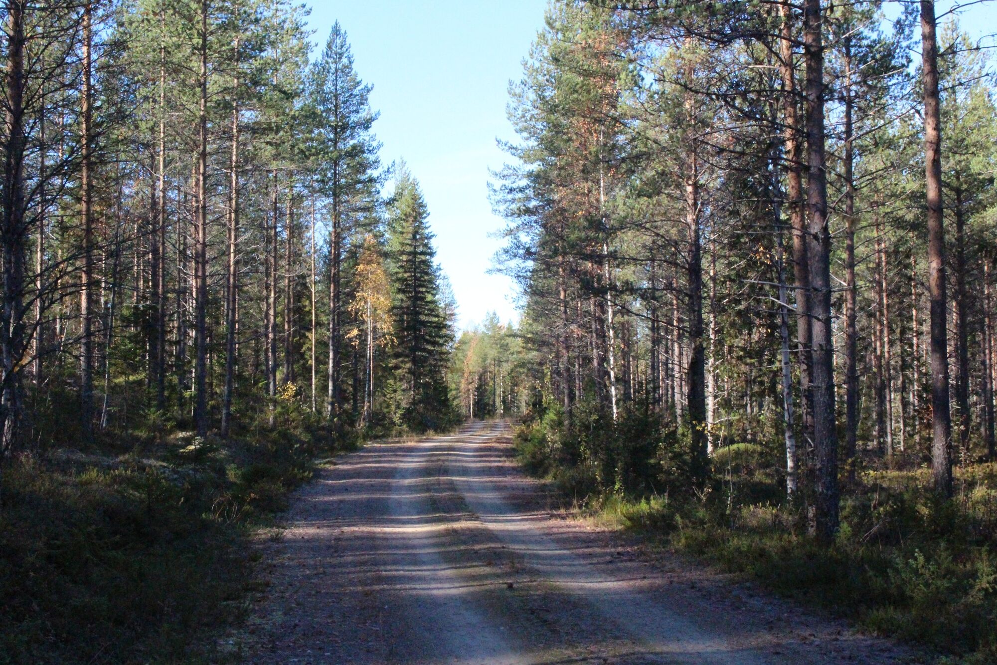
The hike starts at the top of Kivesvaara hill next to the parking spot. At the beginning of your hike take some time to explore the top of Kivesvaara hill. There you will find a scenic viewpoint where you can sit down and admire the gorgeous view of the surrounding lakes Kivesjärvi and Oulujärvi. Next to it there is Kainuu rock park where you can explore the history of Finnish bedrock. Afterwards follow the track upwards until you reach a junction. Here you can either turn right or left to complete the loop. We recommend turning left as the most demanding and steep parts of this track will then be downhill. After the descent you will reach a massive rock cliff called Pahalouhos. Take the path to the left to further explore this impressive rock structure. Afterwards come back to the main path. The green markings on the trees as well as signs and information boards will show you the way along the loop. From the bottom of the loop, take the same track back to return to where you started.

The hike starts at the top of Kivesvaara hill next to the parking spot. Follow the route upwards until you reach a junction. Here you can either turn right or left to complete the loop. We recommend turning left as the most demanding and steep parts of this track will then be downhill. After the descent you will reach the Pahalouhos. Take the path to the left to further explore it. Afterwards come back to the main path. Continue straight ahead for about 200 metres, then turn right at the next junction and follow the upper track of the loop. At the end of the track, turn right and continue until you reach the bottom of the loop. Take the next two right turns and follow the path until you reach the first junction again. Turn left and take the same track back to return to where you started.
Igen
This hike does not require any special equipment or clothing. We recommend outdoors clothing and hiking shoes.
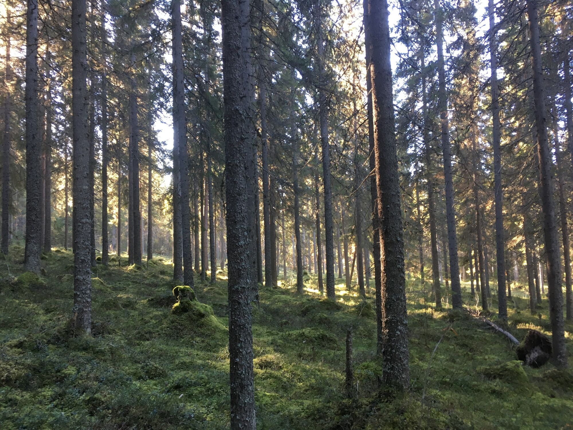
Louhoksen Kierros is an easy hike. It does not require any special skills. A large part of this track follows a gravel road which is very easy to follow. However, the route also goes up a steep natural path through the forest which may be slippery depending on the weather condition. Part of the track from the starting point to the upper left junction is very even which is why this part is suitable for people with limited mobility.
Part of the hiking route follows a main road. Hikers need to pay attention to cars. Depending on the weather condition the path through the forest may be slippery.
The ideal starting point for this hike is at the top of Kivesvaara hill. The best way to get there is by car.
Oulun ja Kajaanin väliset linja-autot pysähtyvät Kivesvaaran risteyksen lähellä, jos vaaran laelle voi kävellä (matkaa noin 4 km).
There are several parking spots at the starting point. You can also find other places along the track to park your car for a different starting point and the possibility of combining this track with other hikes.
At the top of Kivesvaara hill you will find bathrooms, rubbish bins and benches. There is also the Arctic Giant Hotel if you want to spend the night.
More information about hiking in the Kivesvaara area can be found here
For an even better experience at Kivesvaara you can combine this hike with the two other tracks Kantolan Lenkki and Kurun Polku.
Népszerű túrák a környéken
-
Gravel through traditional landscapes 27 km, Paltamo, Finland
közepesBiciklizés 27,0 km -
Hakasuon luonto- ja kotiseutupolku 6 km, Paltamo
közepesTanösvény 6,05 km -
Vaarantalon hyvinvointipolku 2km, Paltamo
könnyűTanösvény 2,09 km -
Pyöräillen Kivesvaaralle 35 km, Paltamo
nehézBiciklizés 34,8 km -
Kurun Polku -hiking route, circle route, 9,9 km, Kivesvaara Finland
közepesKirándulás 9,87 km -
Kantolan Lenkki- circular hiking route, 6km, Kivesvaara Finland
közepesKirándulás 5,98 km
Túrázás & nyomkövetés


Ne maradjon le az ajánlatokról és az inspirációról a következő nyaralásához!
Az Ön e-mail címe hozzá lett adva a levelezőlistához.