


Leg 7 from Moneglia to Sestri Levante


Fotók felhasználóinkról
-
 © Nicola FloriniLétrehozta a 04.10.2025
 -
 © Nicola FloriniLétrehozta a 04.10.2025
 -
 © Nicola FloriniLétrehozta a 04.10.2025
 -
 © Nicola FloriniLétrehozta a 04.10.2025
 -
 © Nicola FloriniLétrehozta a 04.10.2025
 -
 © Nicola FloriniLétrehozta a 04.10.2025
 -
 © Nicola FloriniLétrehozta a 04.10.2025
 -
 © Nicola FloriniLétrehozta a 04.10.2025
 -
 © Nicola FloriniLétrehozta a 04.10.2025
 -
 © Nicola FloriniLétrehozta a 04.10.2025
 -
 © Nicola FloriniLétrehozta a 04.10.2025
 -
 © Nicola FloriniLétrehozta a 04.10.2025
 -
 © Nicola FloriniLétrehozta a 04.10.2025
 -
 © Nicola FloriniLétrehozta a 04.10.2025
 -

 © Stefano FabiLétrehozta a 19.03.2025
 -
 © Stefano FabiLétrehozta a 19.03.2025
 -
 © Stefano FabiLétrehozta a 19.03.2025
 -
 © Stefano FabiLétrehozta a 19.03.2025
 -
 © Gerardo BrunettiLétrehozta a 10.05.2024
 -
 © PerryBLétrehozta a 27.06.2023
 -
 © PerryBLétrehozta a 27.06.2023
 -
 © PerryBLétrehozta a 27.06.2023
 -
 © PerryBLétrehozta a 27.06.2023
 -

 © Natale MaffiolettiLétrehozta a 03.07.2019
 -
 © Natale MaffiolettiLétrehozta a 03.07.2019
 -
 © Natale MaffiolettiLétrehozta a 03.07.2019
 -
 © Natale MaffiolettiLétrehozta a 03.07.2019
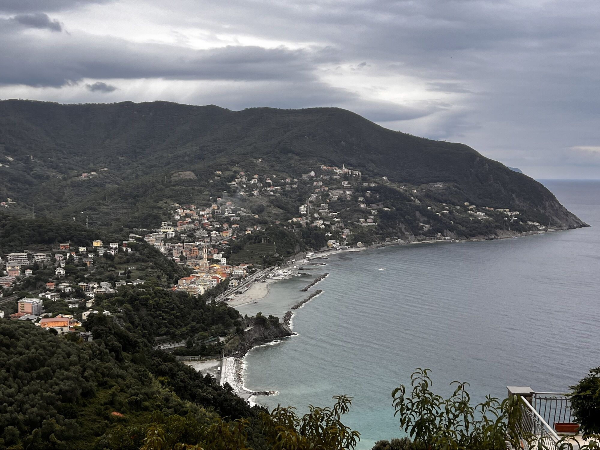

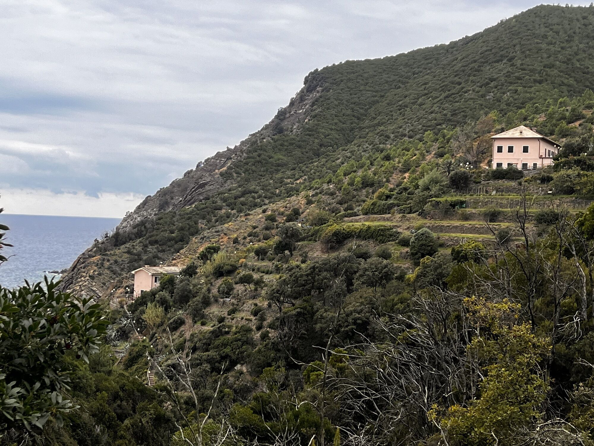
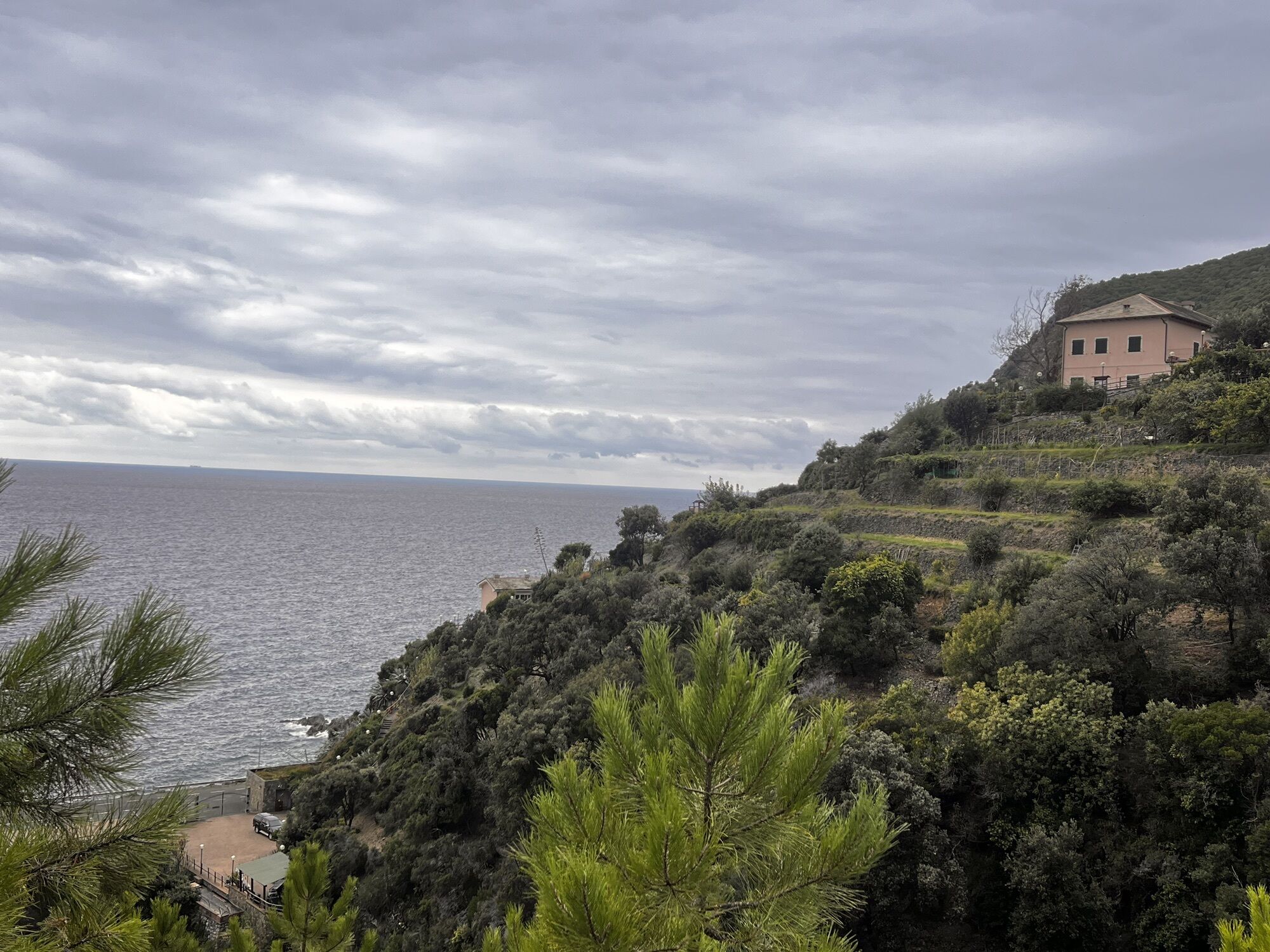
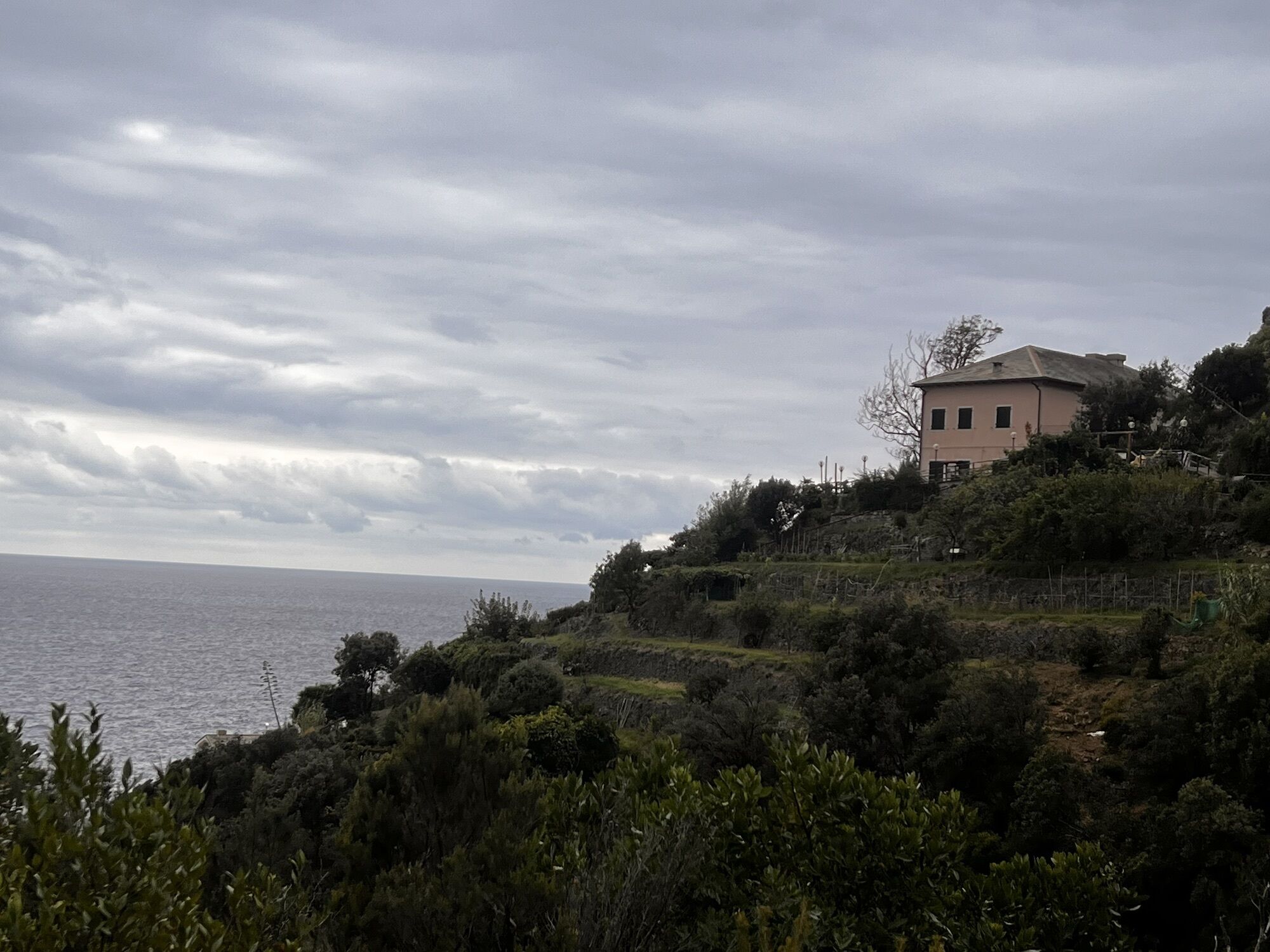
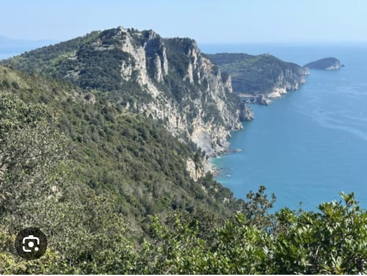
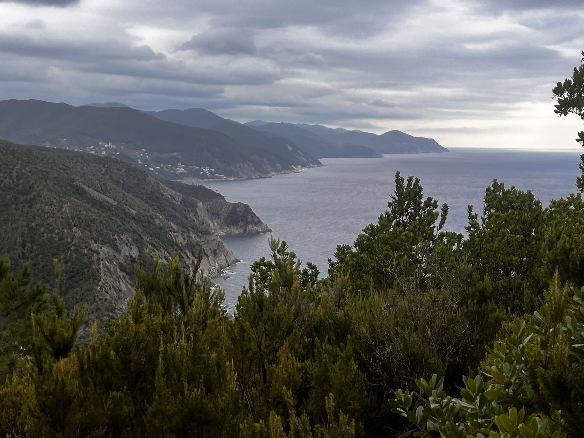


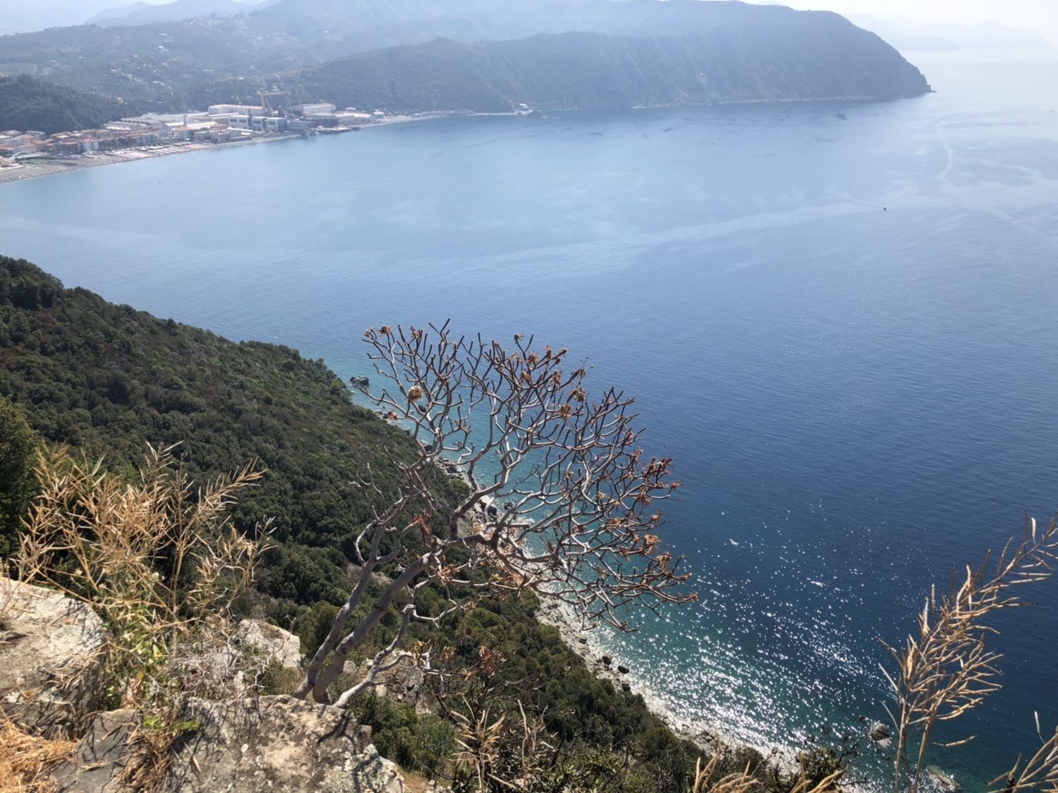
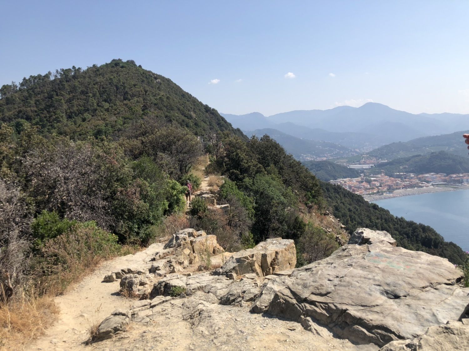


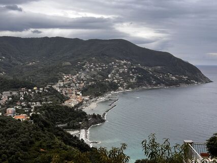
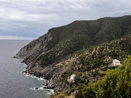
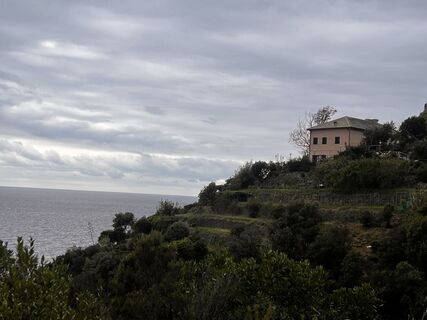
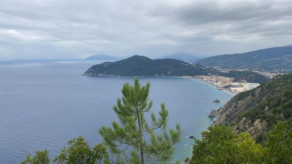
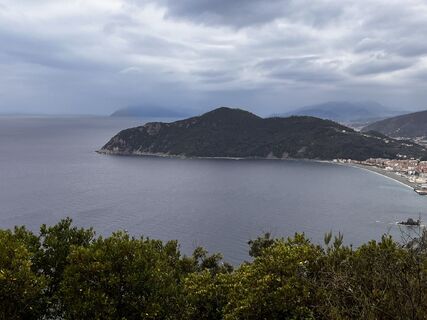
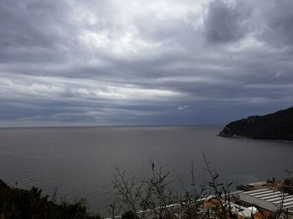
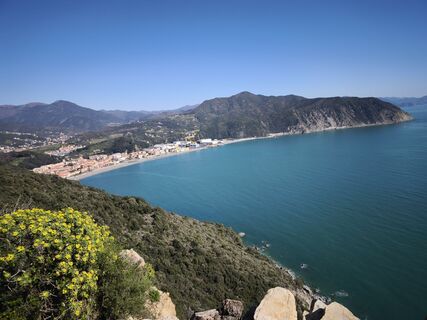
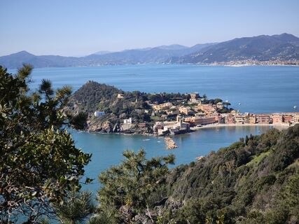
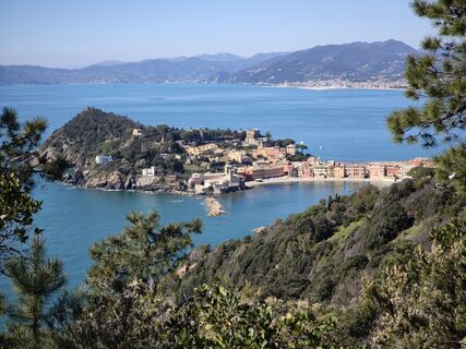
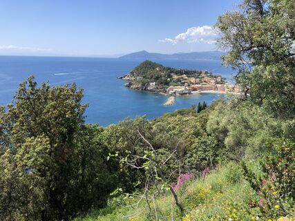
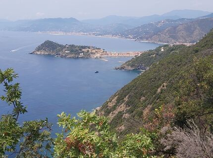
the leg, that ends in the “caruggi” (alleys) of the historic centre of Sestri Levante, develops almost entirely in two Sites of Community Importance (SCI): one shared between the municipalities of Moneglia,...
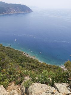
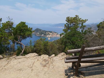
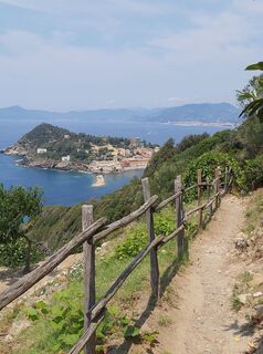
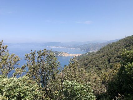
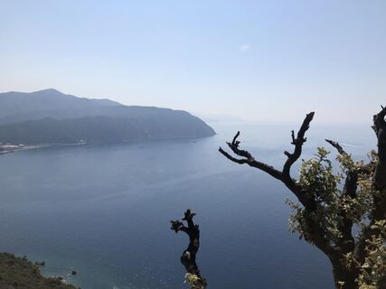
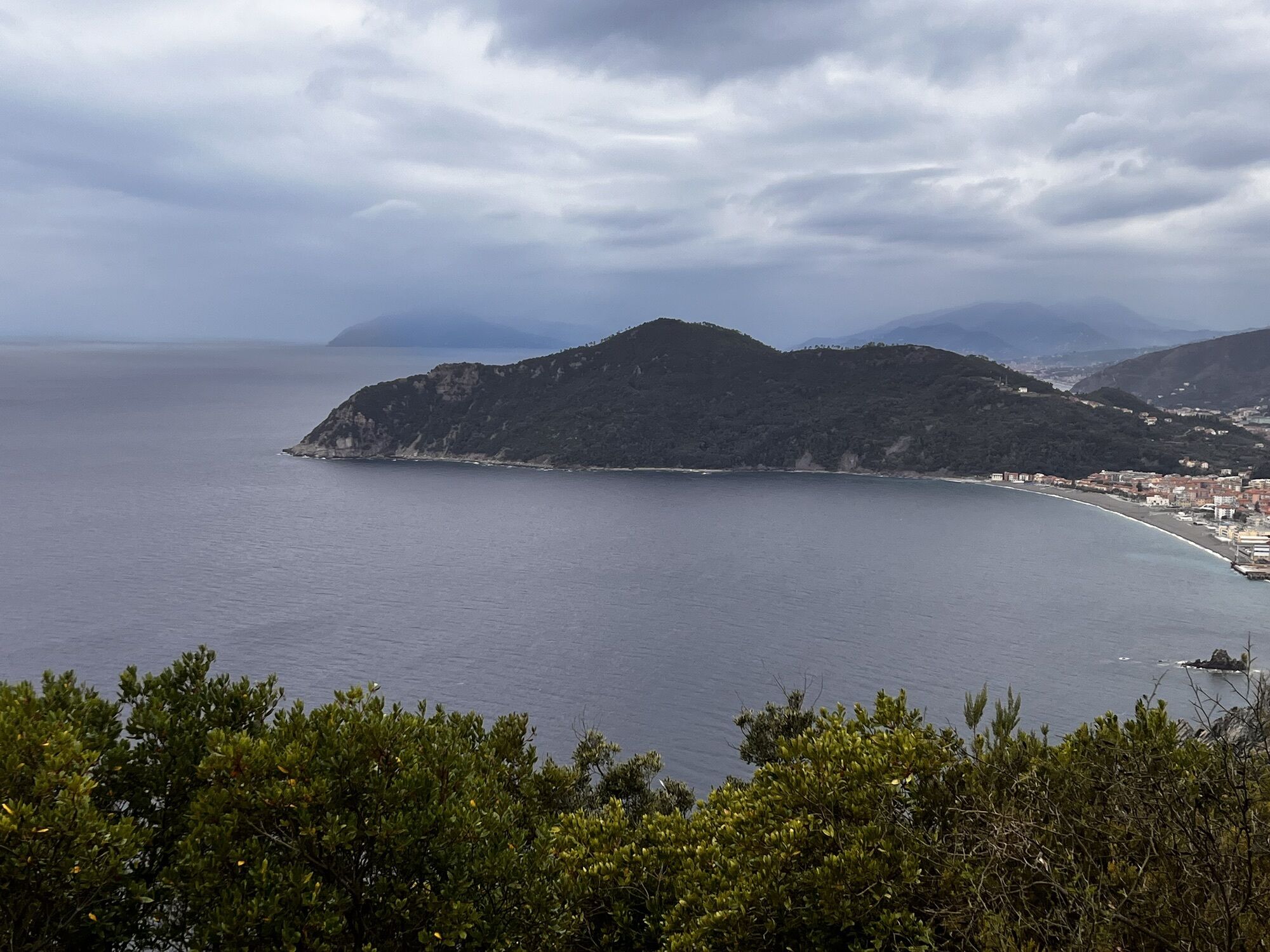
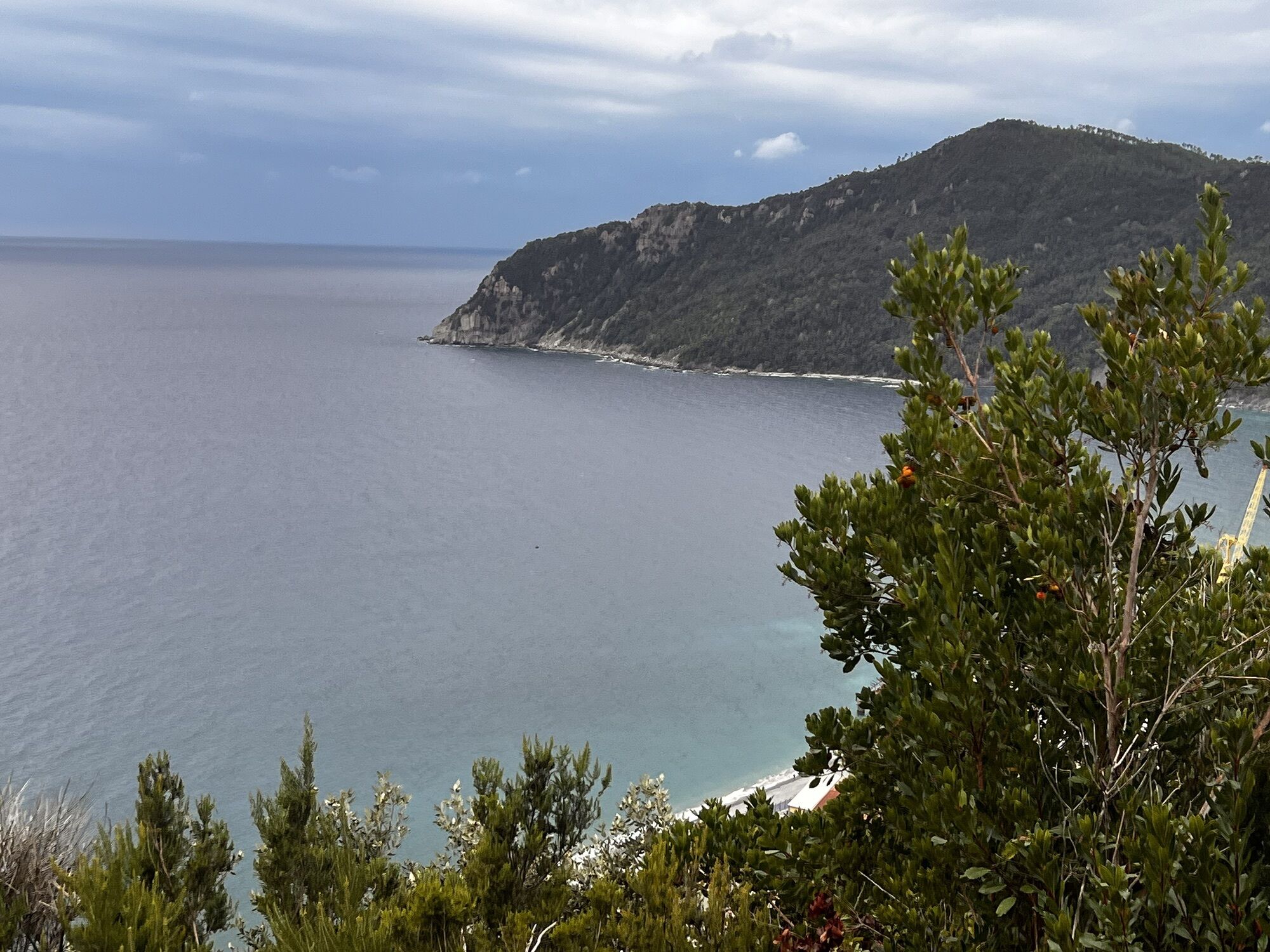
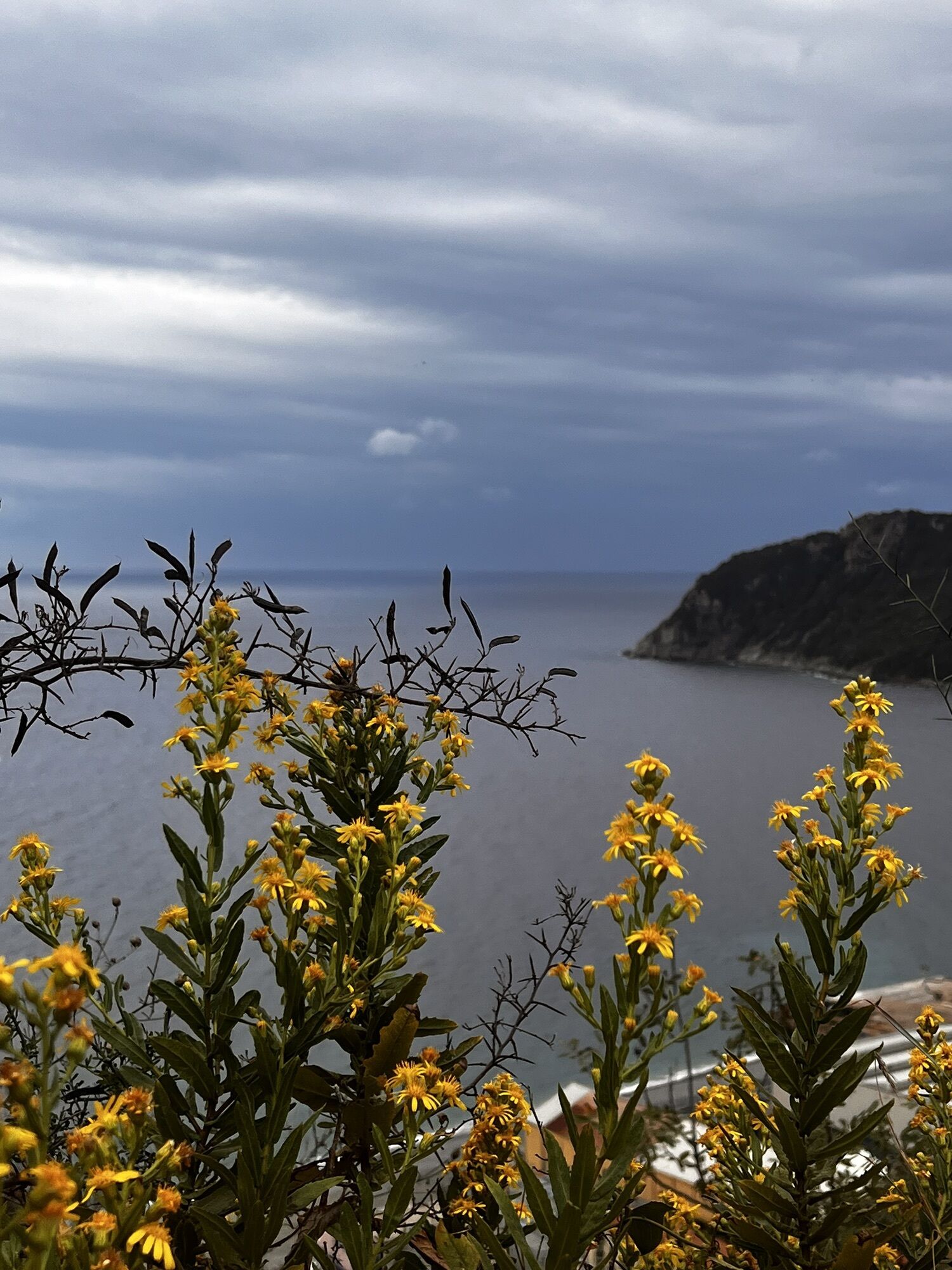
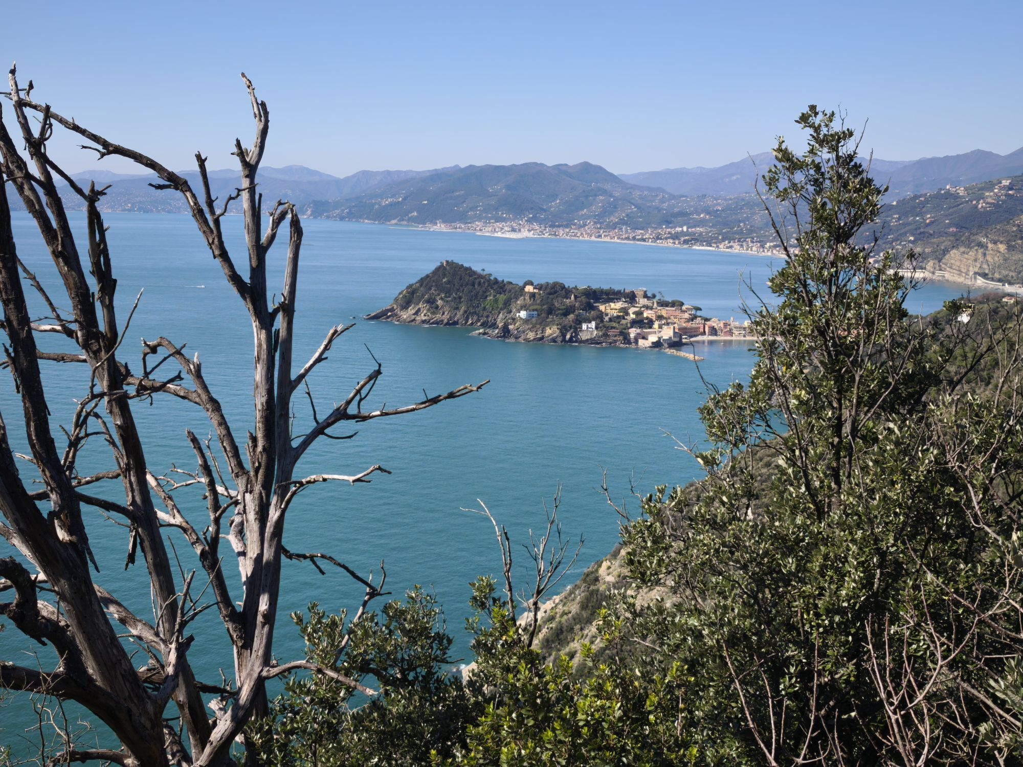
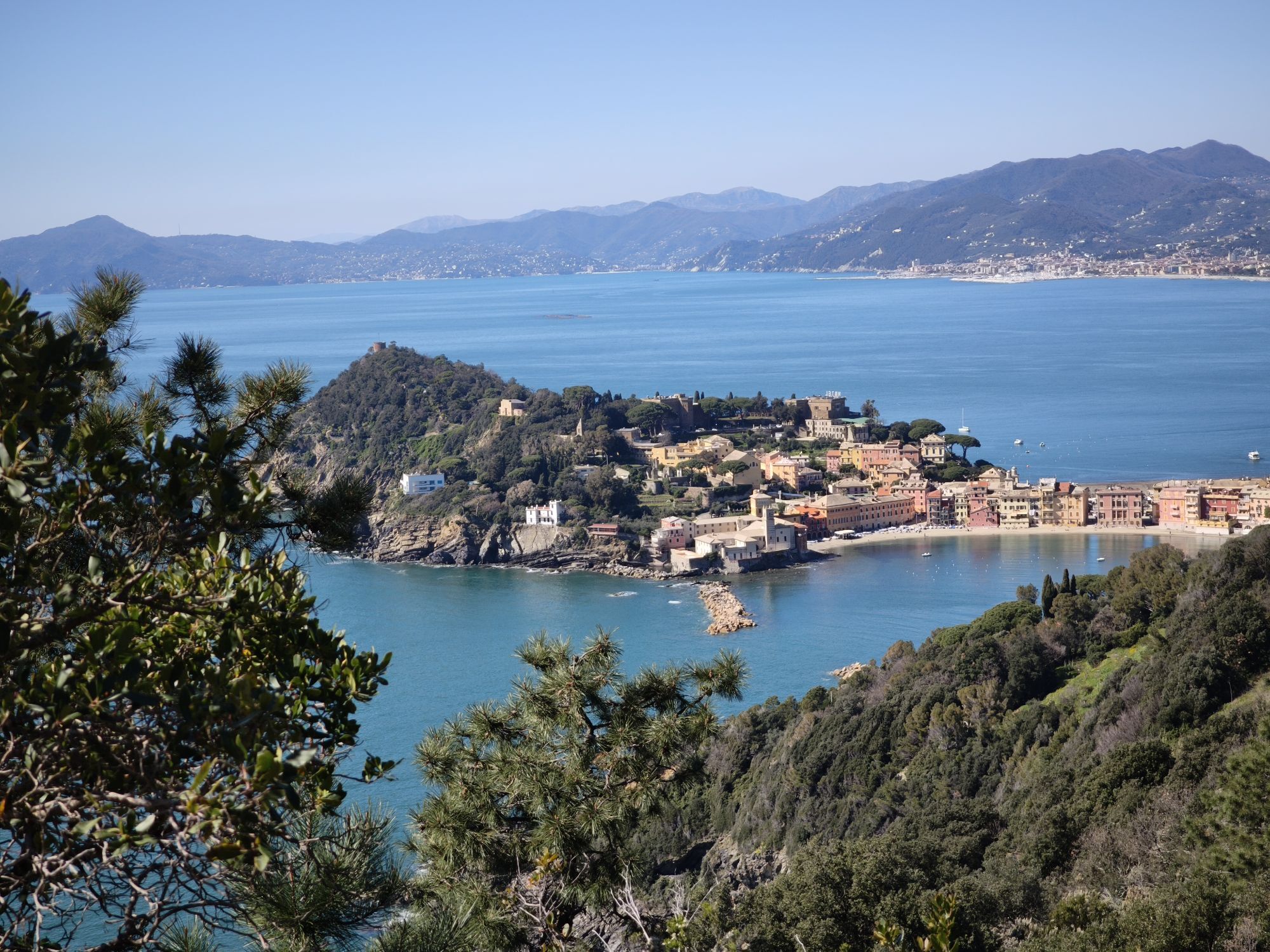
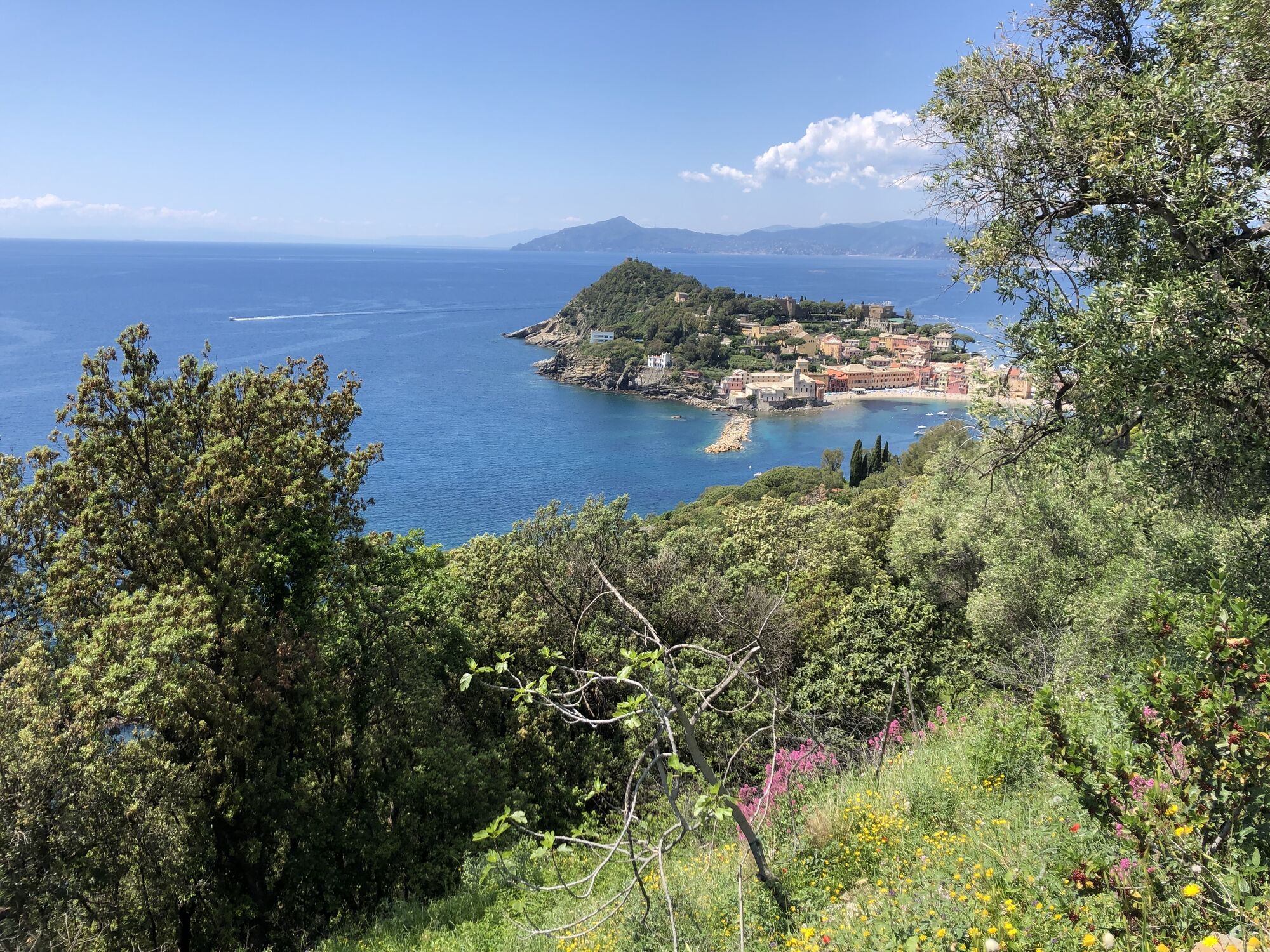
the leg, that ends in the “caruggi” (alleys) of the historic centre of Sestri Levante, develops almost entirely in two Sites of Community Importance (SCI): one shared between the municipalities of Moneglia, Sestri Levante and Casarza Ligure, the other in the area of the old Segesta. The trail runs through the Mediterranean scrubland, flanking steep into the water plunging cliffs, with gorgeous views over the sea. When the sky is particularly clear it is possible to see the islands of the Tuscan archipelago and Corsica and, westwards, the tops of the Ligurian Alps, covered with snow in winter. Halfway the itinerary the wide sandy beaches of Riva Trigoso and its famous, over a century old, shipyards can be admired.


Népszerű túrák a környéken
-
4,5
GE_02 Sestri Levante – Punta Manara
Kirándulás 2,26 km -
SP_21 Ciclopedonale Levanto – Bonassola – Framura
Kirándulás 6,70 km -
GE_03 Ring path of Zatta Mount
Kirándulás 14,4 km -
Pian del Lago - Bagun
nehézMountainbike 20,9 km -
SP_12 Framura - Bonassola
Kirándulás 3,82 km -
Torre dell’Orologio (Levanto)
közepesMountainbike 31,2 km -
GE_01 Sanctuary of Velva - Monte Alpe di Maissana
nehézKirándulás 14,4 km -
5,0
Sestri Levante, Monte Castello, Riva Trigoso
közepesKirándulás 8,46 km -
GE_04 Ride to Bargone ring
Kirándulás 9,84 km -
Leg 6 from Bonassola to Moneglia
Kirándulás 17,0 km
Túrázás & nyomkövetés


Ne maradjon le az ajánlatokról és az inspirációról a következő nyaralásához!
Az Ön e-mail címe hozzá lett adva a levelezőlistához.