


Laveggiolo Trona Soliva with joelette


From Morbegno by vehicle, go up Val Gerola to Gerola from where take the road to Castello/Laveggiolo. Once in Laveggiolo (1460m) the paved road ends near a large parking lot where the itinerary begins...
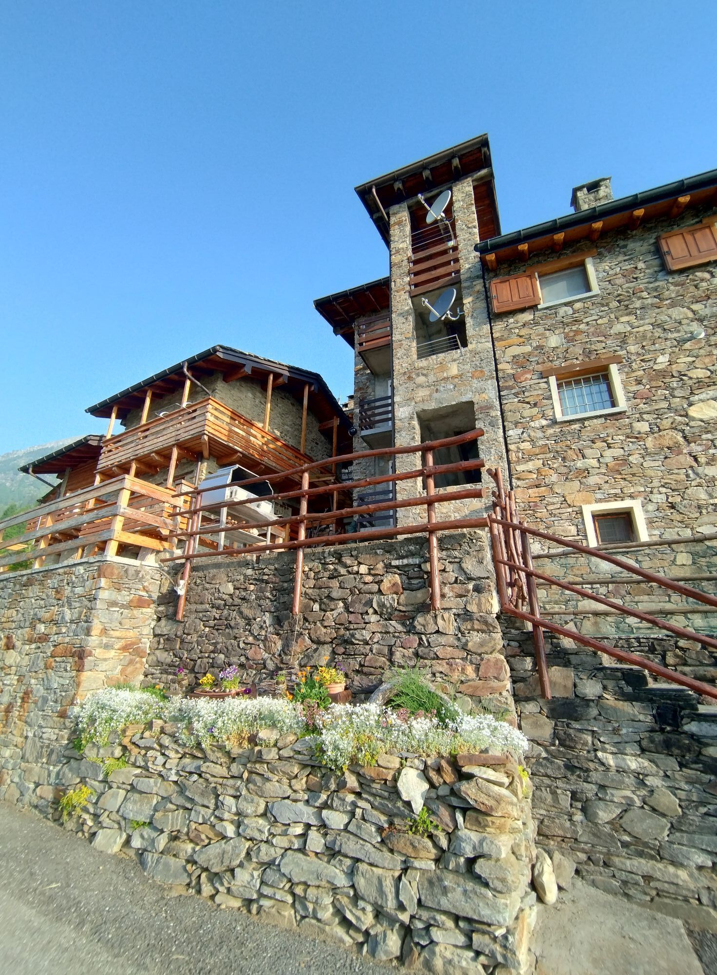
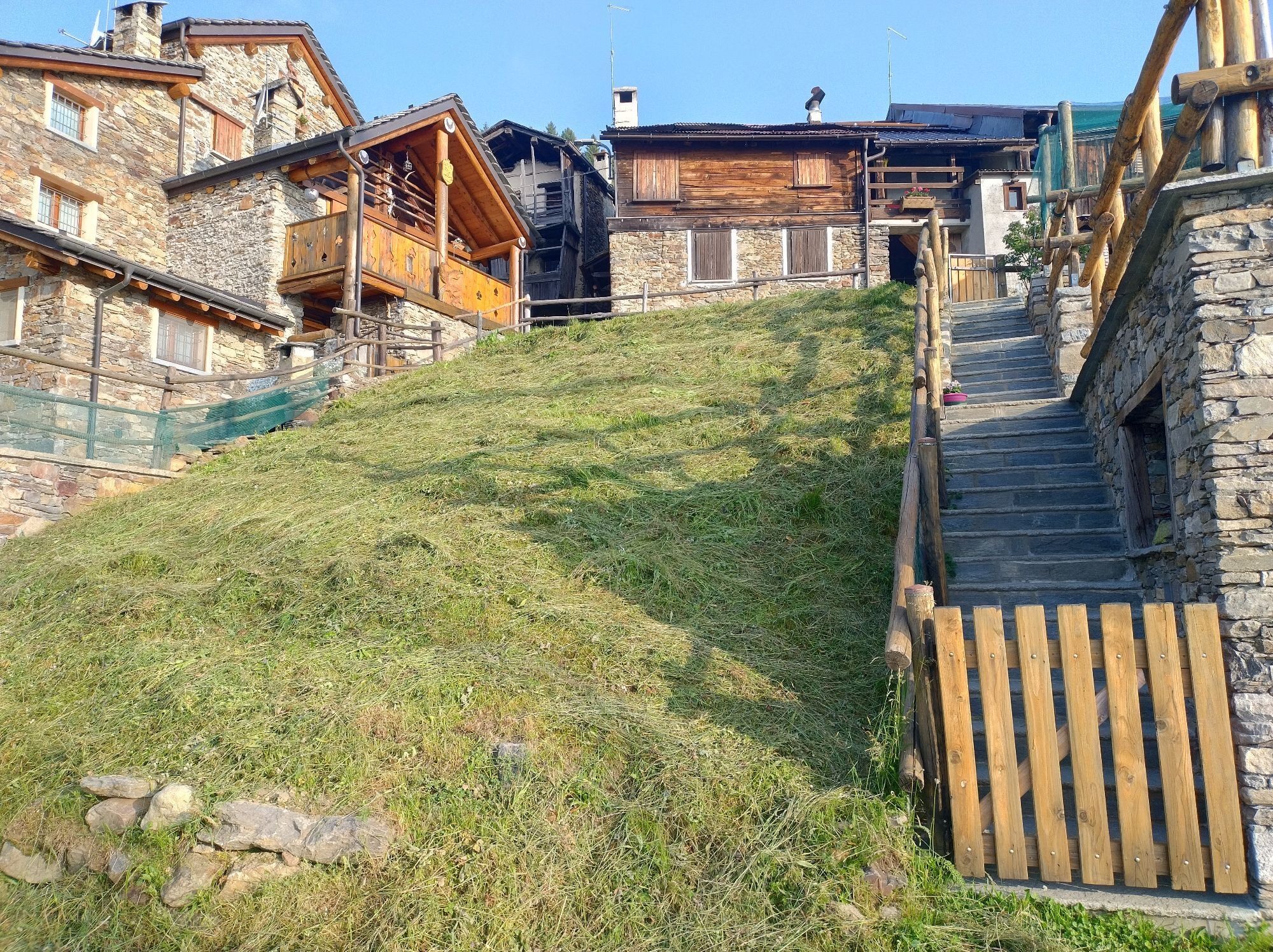
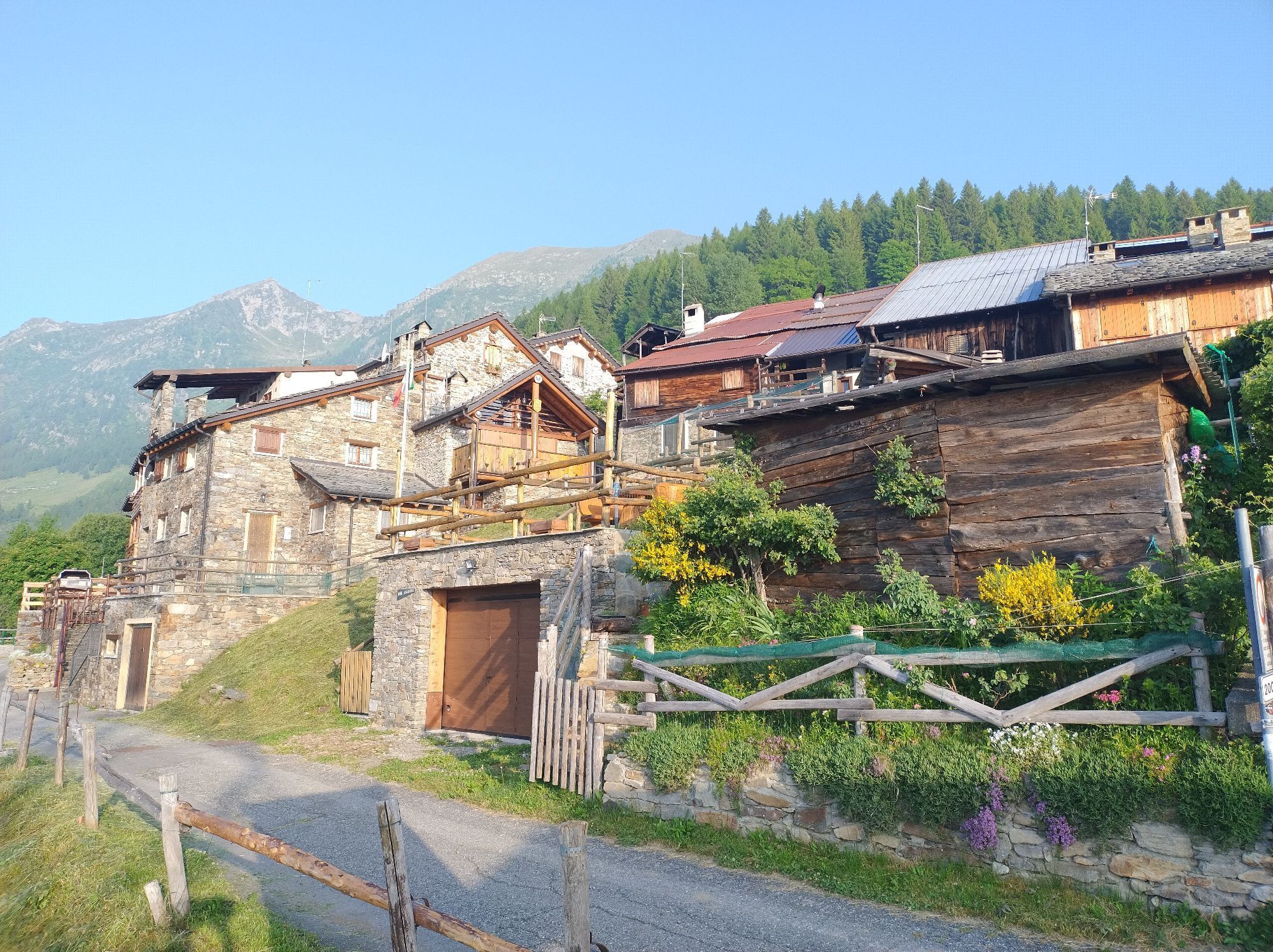
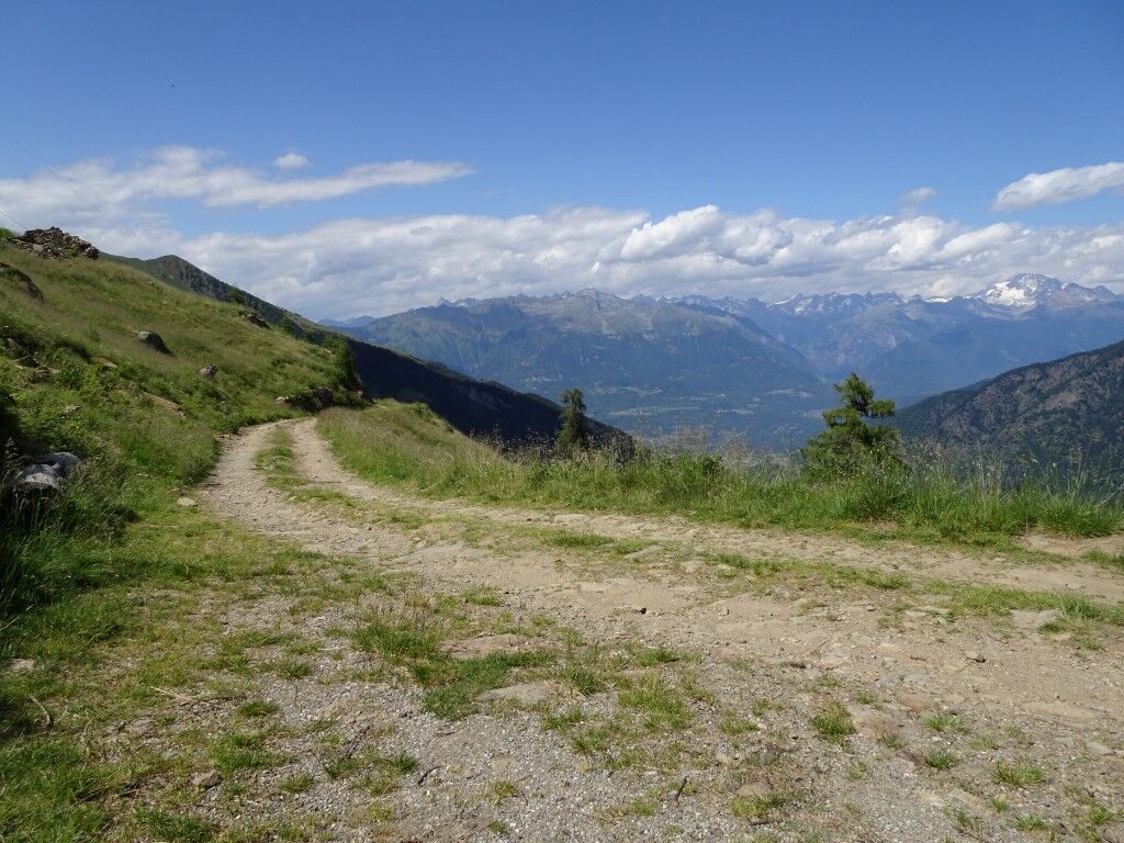
From Morbegno by vehicle, go up Val Gerola to Gerola from where take the road to Castello/Laveggiolo. Once in Laveggiolo (1460m) the paved road ends near a large parking lot where the itinerary begins (no permit or parking ticket required). From Laveggiolo, take the dirt road that initially goes up the Val Vedrano, leading to the small wooden bridge that crosses the stream. At 1650 m. the slightly downhill road turns left to climb with a few switchbacks up the mountainside to an altitude of 1850 m. from where on the flat after about 1 km you reach the hut. From the start, always follow the road, ignoring the official signs for the ref. Trona, which otherwise follows the direct path, not feasible with the help of Jolette. The Trona Soliva refuge, located in the Orobie Valtellinasi Park in the Valle della Pietra at an elevation of 1907 m, is in the presence of Pizzo dei Tre Signori, Pizzo Trona and the Trona and Inferno dams. The refuge is located in a scenic area where nearby you can visit the "Calecc" still in use by shepherds for the production of typical local cheese. Ref: www.rifugiotronasoliva.it/ NB: some rather uneven sections and others with significant slopes require the presence of 4 conductors or the use of power-assisted joelettes.

PARKING: Laveggiolo, at the end of the paved road.
POINT OF DEPARTURE: Directly from the parking lot
USEFUL LOCAL ENTITIES AND REFERENCES: Morbegno Mountain Community.
TIME WITH JOELETTE: 2 h 30 min BOTTOM: dirt road in good condition except for a few hundred meters rather bumpy with stones;
EXPOSURE, DANGERS: at 1650 mt you cross the small stream by crossing a wooden bridge about 1 mt wide. The bridge can generally be avoided by fording the stream if not particularly full
REFUGE, RESTAURANT, APPOINTMENT: Rifugio Trona Soliva (Tel. 346 5436747 -
Népszerű túrák a környéken
-
4,8
Monte Legnone- höchste gipfel der Comer See
közepesKirándulás 11,6 km -
Culmine San Pietro - rifugio Cazzaniga Merlin
könnyűKirándulás 19,9 km -
5,0
Via Priula da Mezzoldo a Ca’ San Marco
könnyűKirándulás 9,65 km -
Alpe Piazza Rifugio
könnyűKirándulás 3,06 km -
5,0
Rifugio Nicola
közepesKirándulás 12,8 km -
Tour dell’alpe Giumello
könnyűKirándulás 7,52 km -
5,0
Da Moggio al rifugio Nicola
közepesKirándulás 11,1 km -
Da Rifugio Gherardi al Venturosa
közepesKirándulás 14,4 km -
Sabato giornata Cai
közepesHegyi túrázás 18,7 km -
Pasturo, San Calimero, rifugio Antonietta al Pialeral
könnyűKirándulás 13,2 km
Túrázás & nyomkövetés


Ne maradjon le az ajánlatokról és az inspirációról a következő nyaralásához!
Az Ön e-mail címe hozzá lett adva a levelezőlistához.