


Valdega, Allín, and Améscoas - Camping Acedo Route 2
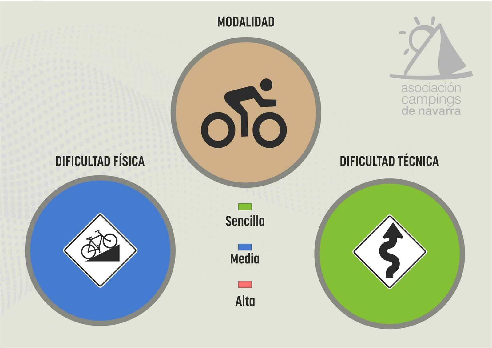
Nehézségi szint: 2


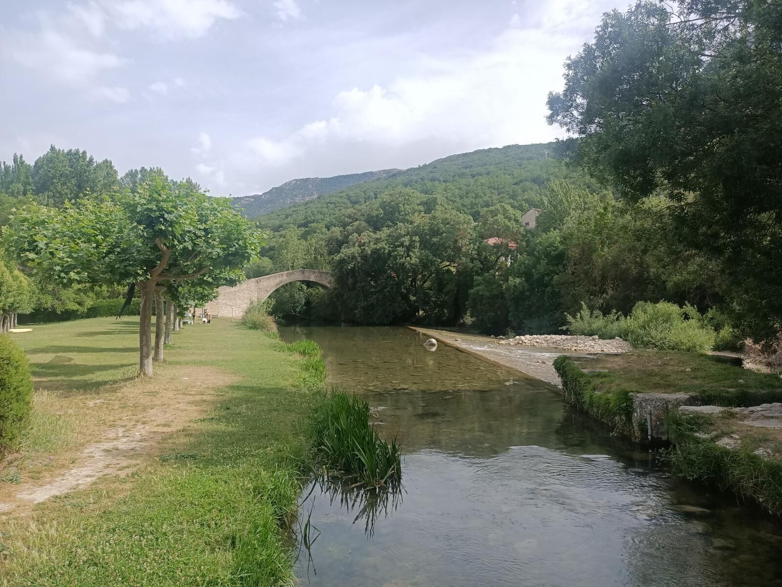
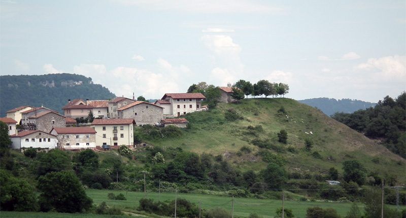
Starting from Camping Acedo, after crossing Valdega through its comfortable straights, we enter the paved lanes and concrete paths of the Allín Valley that at times transport us to the iconic scenes of...
Starting from Camping Acedo, after crossing Valdega through its comfortable straights, we enter the paved lanes and concrete paths of the Allín Valley that at times transport us to the iconic scenes of the great Belgian classics.
The Artabia wall leads us to the road accessing the Améscoas and thus back to the "conventional" roads. In this case we do not ascend the Urbasa Pass but travel through the Upper Améscoa until we reach Álava via Contrasta and begin the return to Camping Acedo.

8 essential accessories for any bike route
Helmet Gloves Air pump Multitool Spare inner tube Tire levers GPS odometer Water bottle and something to eat
The Navarra Campsites Association does not guarantee the maintenance of the routes, so it is possible to encounter obstacles on the trails. However, if this happens, we appreciate visitors informing us so that it can be considered for others in the future.
It is highly recommended to carry the tracks on your GPS. In some remote areas it is easy to get disoriented.
It is essential to carry plenty of water for all routes, especially in summer.
The use of a helmet is mandatory.
Practice gentle riding to avoid erosion.
If you go out alone, leave notice of the route you are going to take.
Trails are shared with hikers and horse riders. Always give way, they have priority.
If you find a livestock gate, after passing through leave it as you found it.
Facilitate the passage of livestock on all paths.
Avoid leaving the marked trail and accessing private properties.
Respect the environment and do not leave waste.
Avoid shouting and disturbing wildlife.
If you see signs of hunting activity, turn back and choose another path.
Respect traffic rules.
Be respectful towards people when passing through villages.
By car to:
Carretera Los Arcos, 131282 Acedo, Navarra, ES
Carretera Los Arcos, 131282 Acedo, Navarra, ES
The campsite has parking options
2
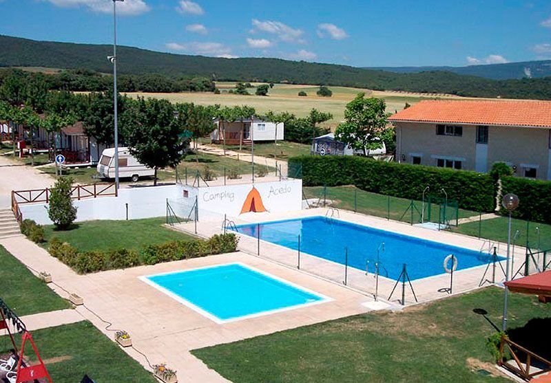
At Camping Acedo campsite, we provide clients with a bicycle washing area, as well as a self-repair and bicycle inflation station with tools, in addition to a garage for storage and safekeeping.
Népszerű túrák a környéken
-
Joar vom Santuario de Codés (Navarra)
közepesHegyi túrázás 5,69 km -
5,0
Source of the Urederra
közepesKirándulás 6 km -
Return to Berrueza - Camping Acedo Routes 1
könnyűOrszágúti kerékpározás 41,0 km -
Valles de Álava - Camping Acedo Route 3
nehézOrszágúti kerékpározás 103,5 km -
Itinerary of the dolmens. Urbasa-Andia Natural Park
közepesKirándulás 12,8 km -
Vía Verde del Ferrocarril Vasco-Navarro
könnyűBiciklizés 28,1 km -
Puerto de Opakua-Ballo-Arco de Zalanportillo-Puerto de Opakua
közepesHegyi túrázás 10,8 km -
Lokiz nyomvonalai - Camping Acedo Route 9
nehézMountainbike 42,2 km -
Sierra de Dos Hermanas - Acedo kemping 8-as útvonal
közepesMountainbike 28,6 km -
Larraiza, Rulez, Belastegi és Eraul - Artaza Kemping 9-es útvonal
nehézMountainbike 46,7 km
Túrázás & nyomkövetés


Ne maradjon le az ajánlatokról és az inspirációról a következő nyaralásához!
Az Ön e-mail címe hozzá lett adva a levelezőlistához.