


L2 Duftkreuztrail-Kleinkohlergraben


Simple forest road round in Kleinkohlergraben in the Ramingtal. The round has a length of just under 14 kilometers and includes 370 meters of elevation gain solely on forest roads and finally on asphalt.

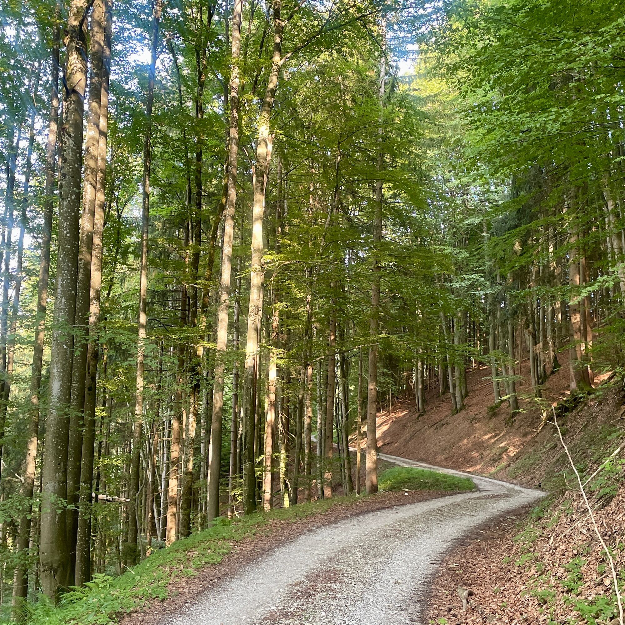
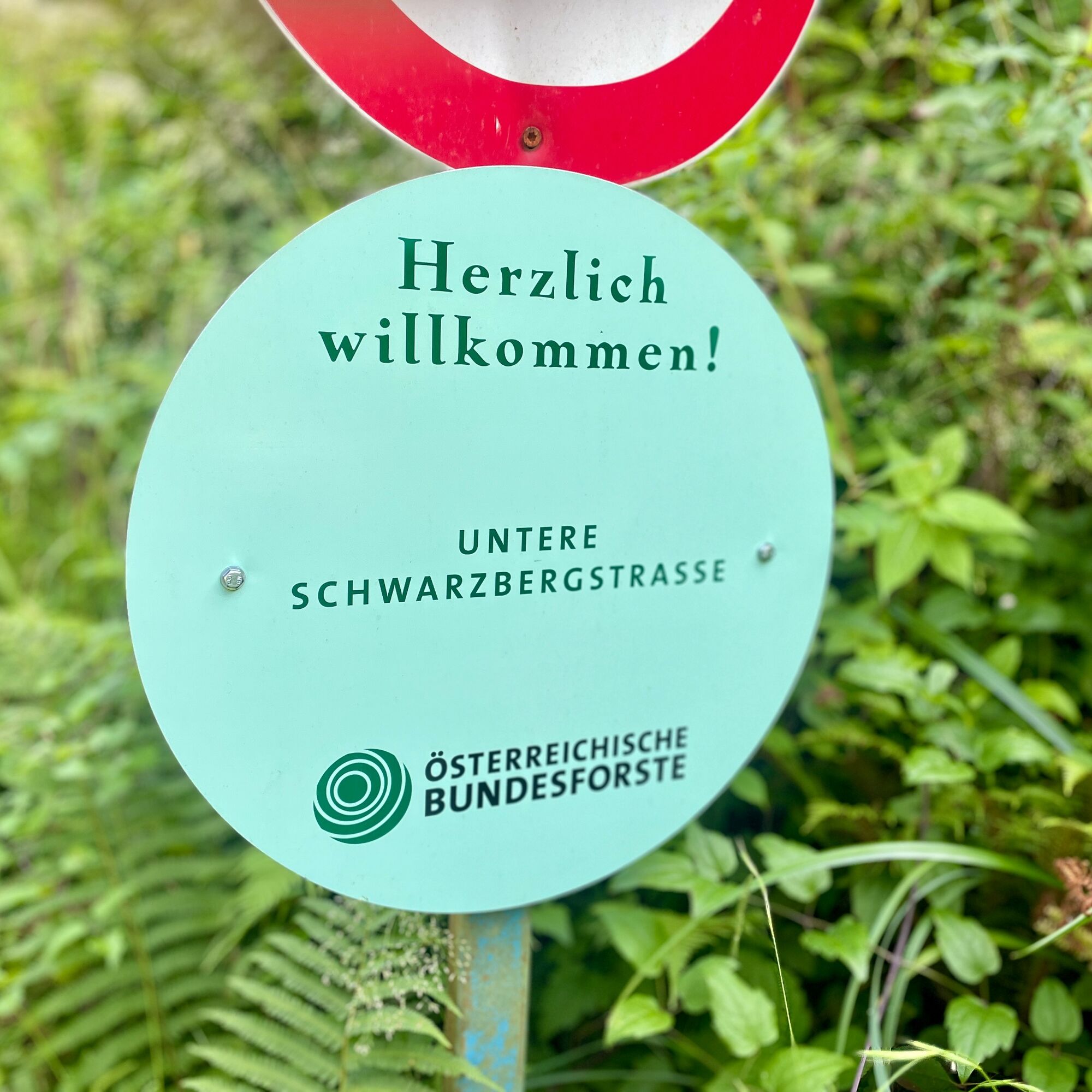
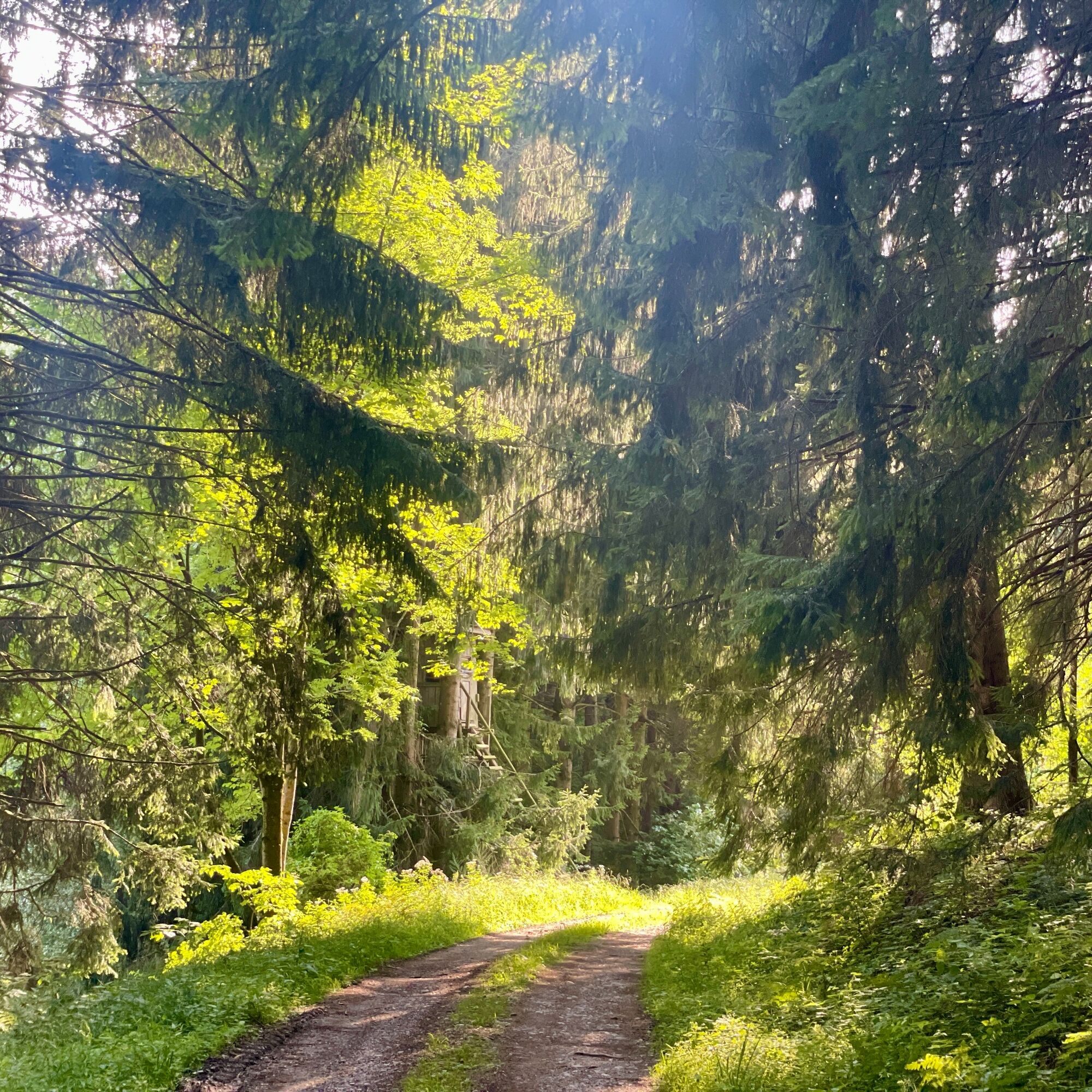
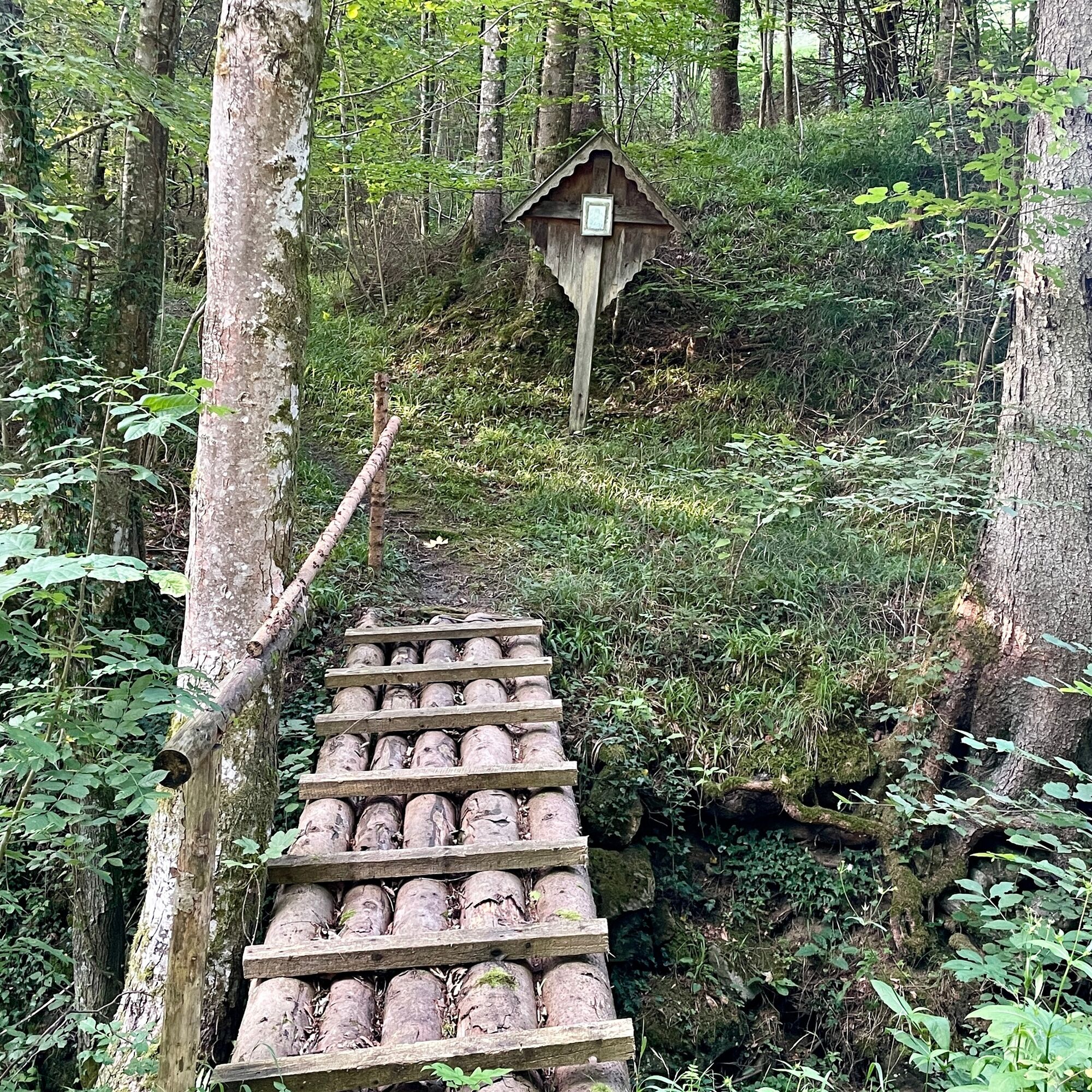
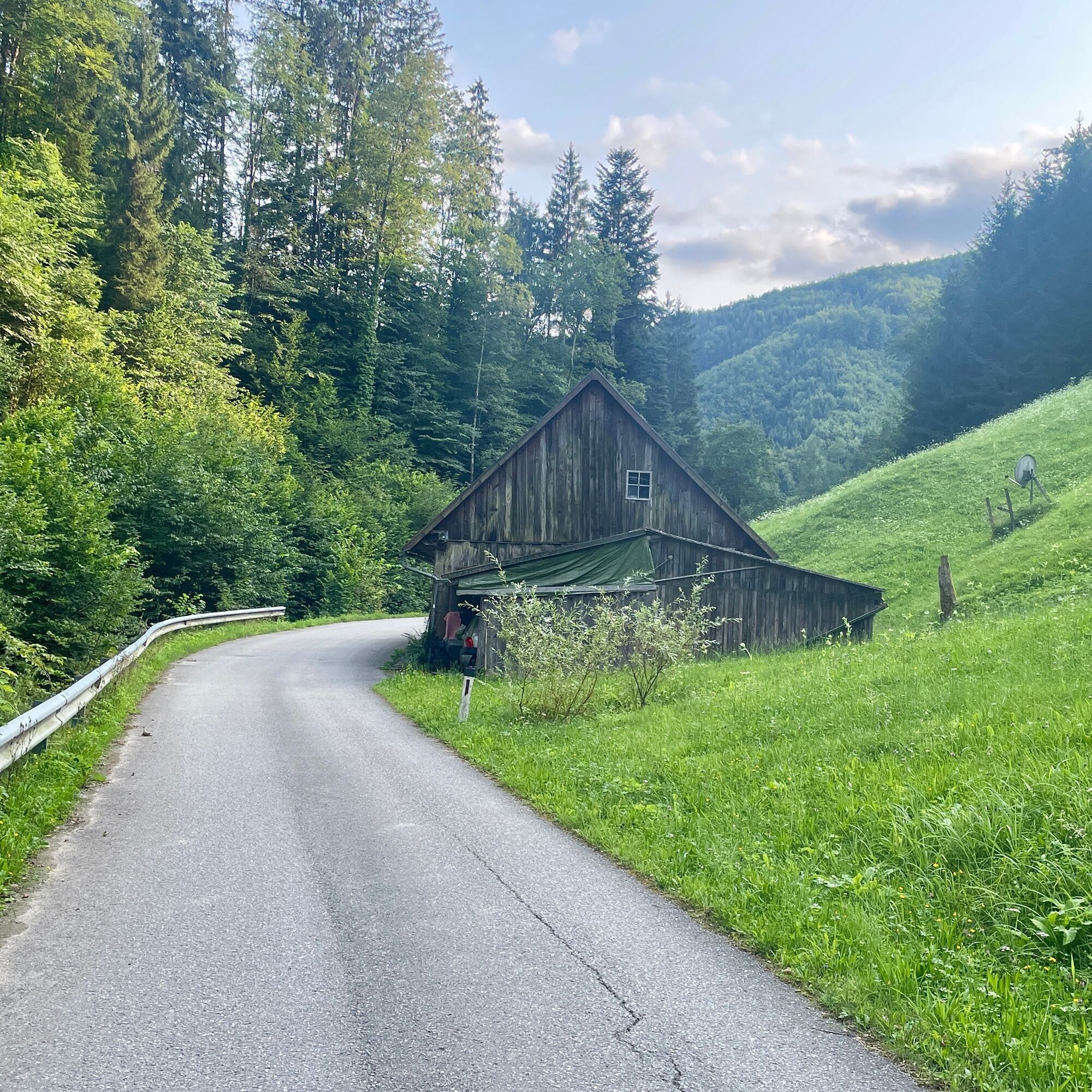
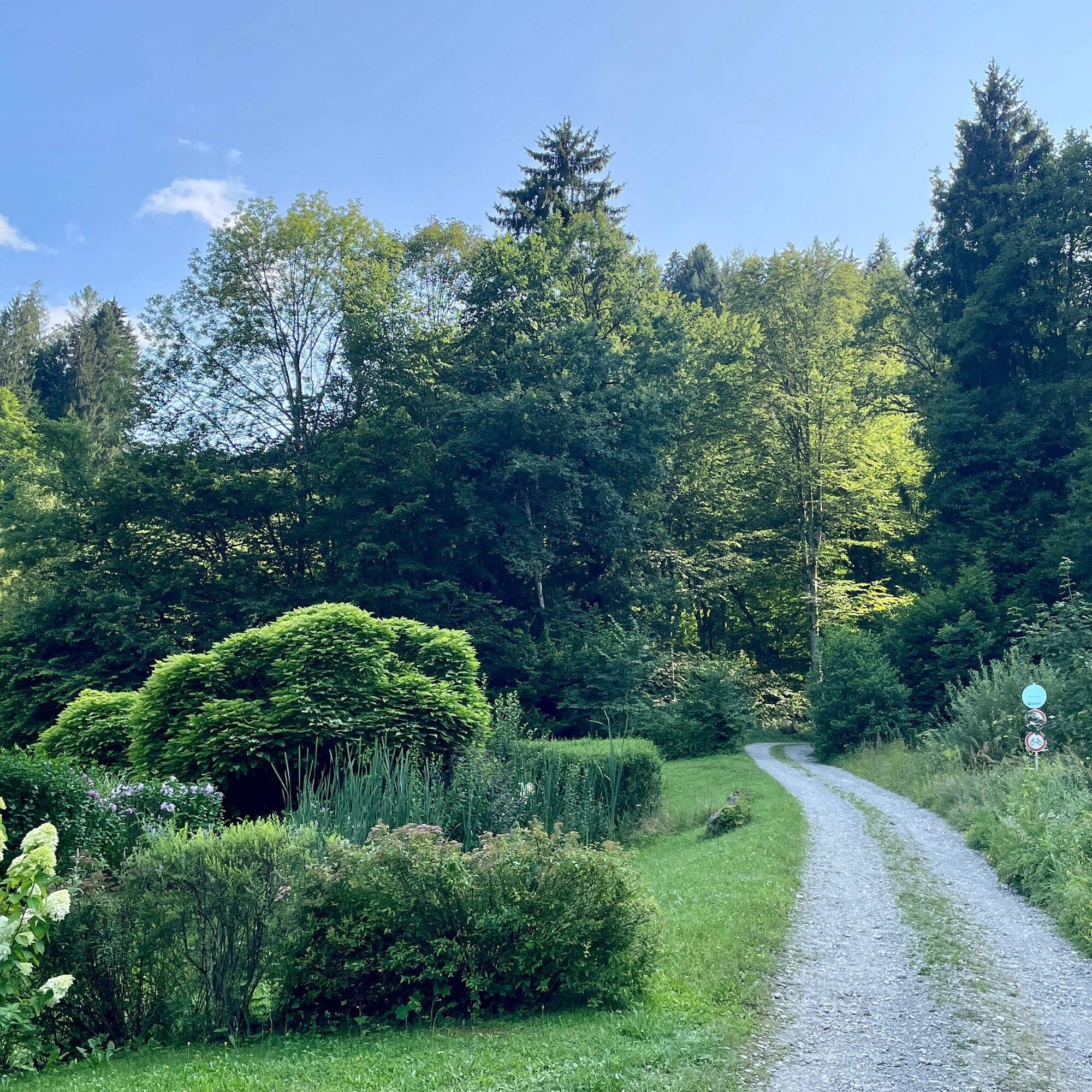
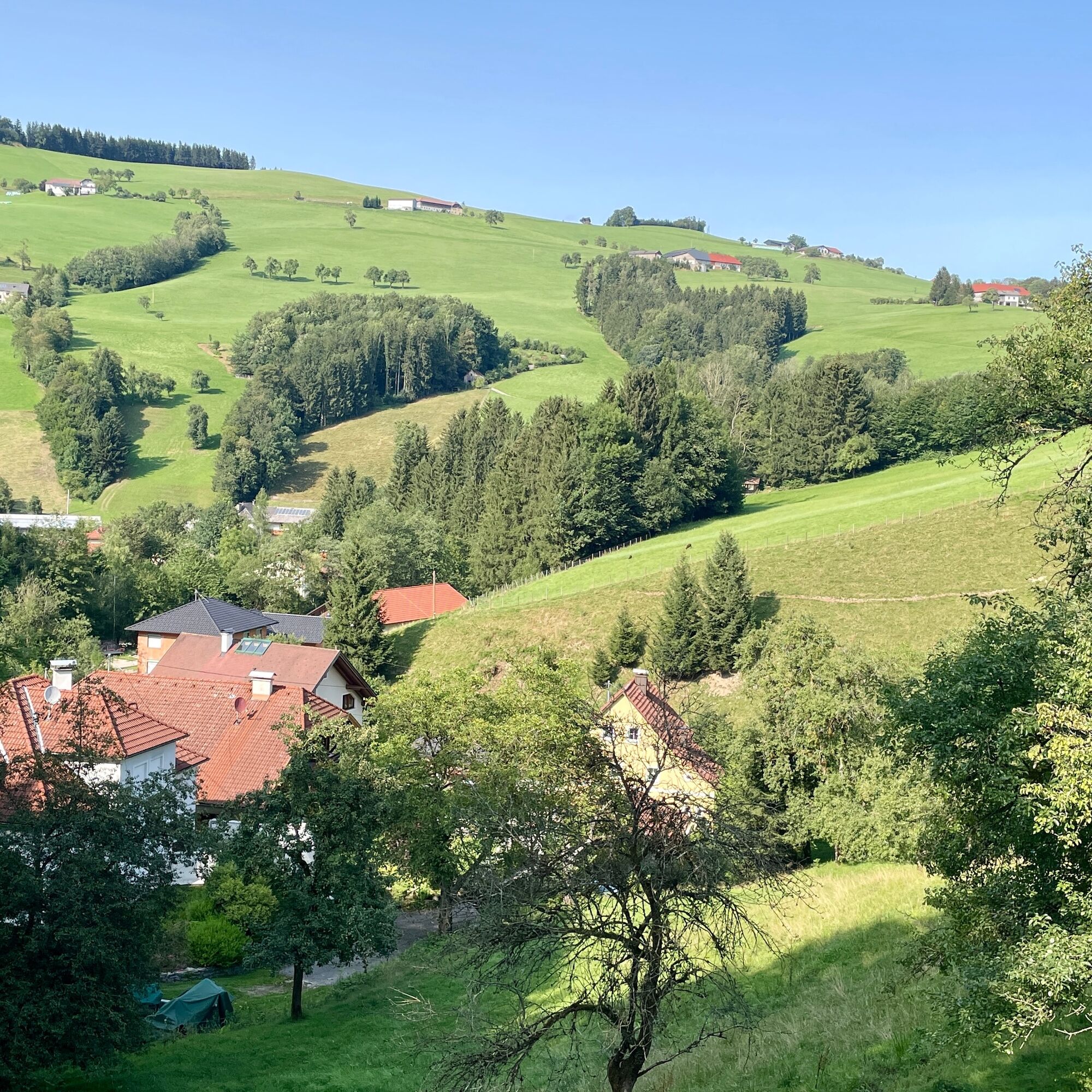
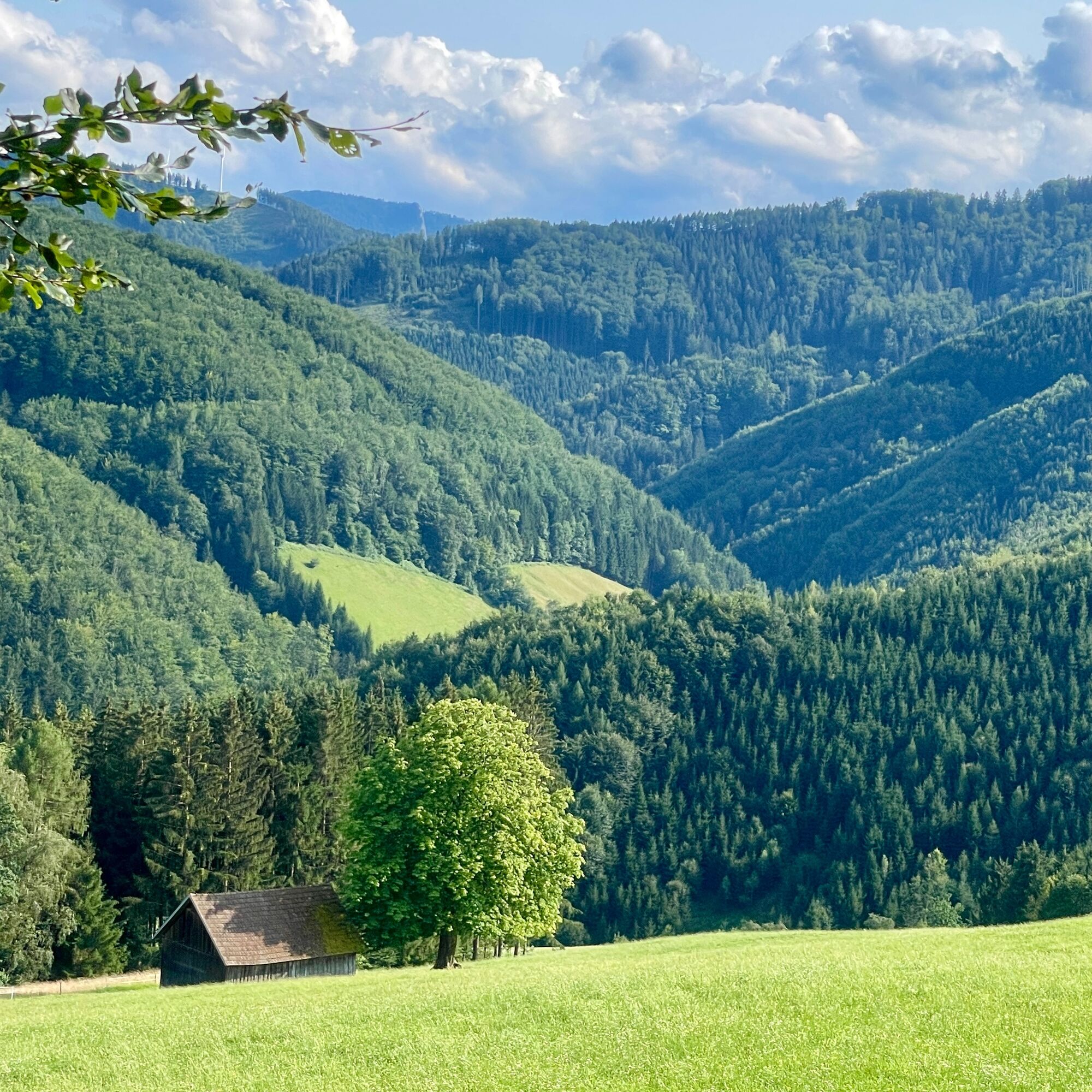
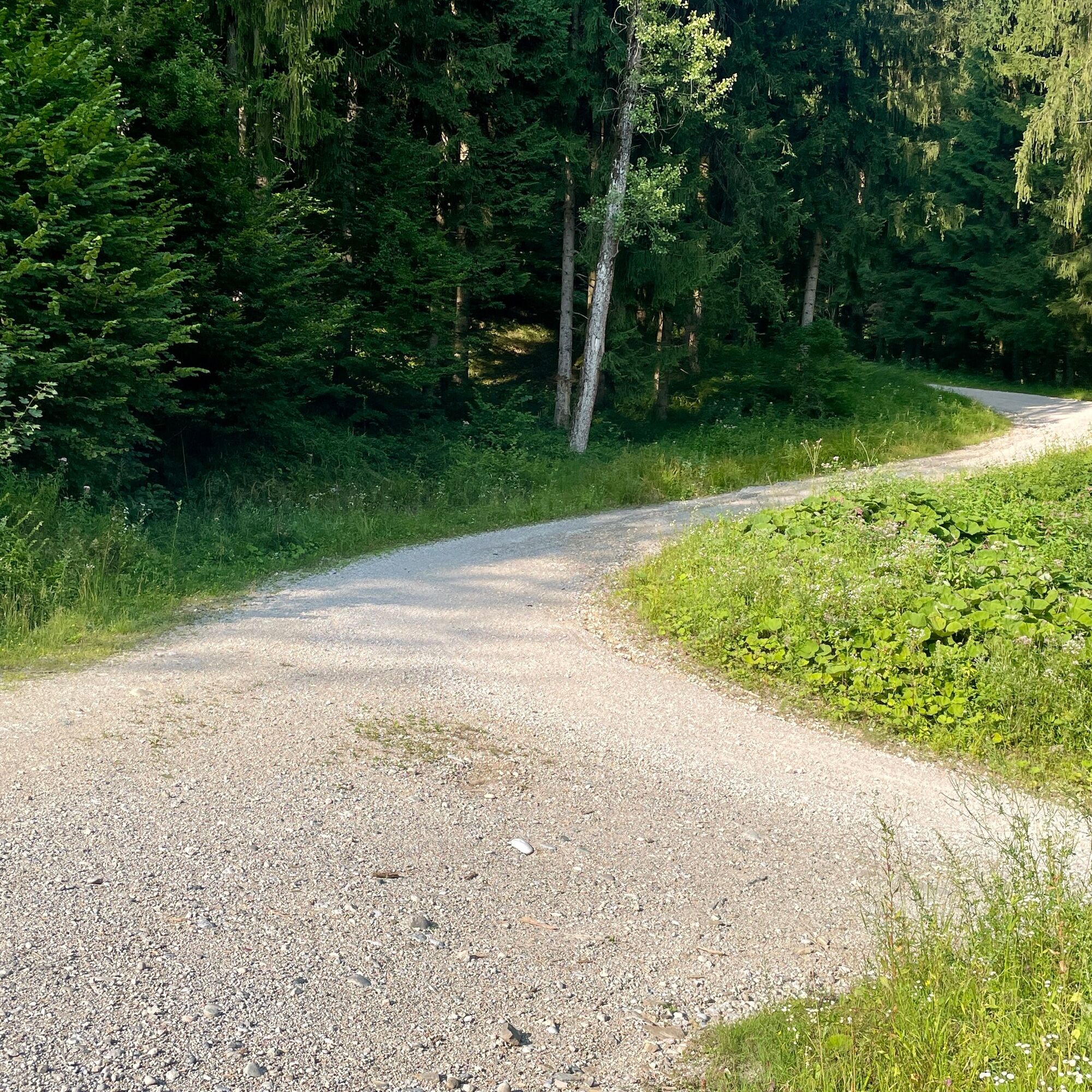
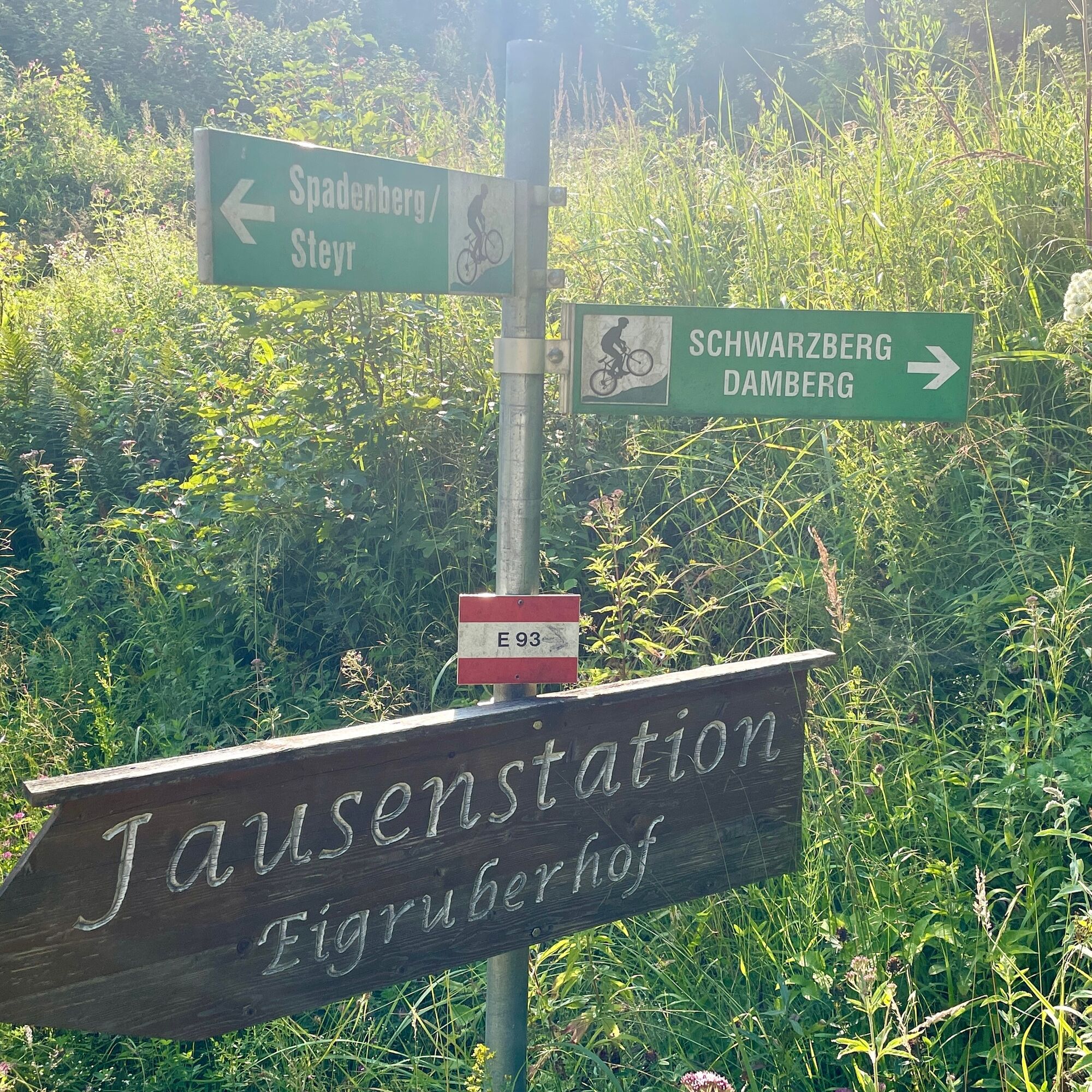
We start at the bus stop opposite Firma Steyr-Arms directly at the entrance to Kleinkohlergraben. We walk about 500 meters until a path branches off to the right in a curve. Here we get onto a forest road which we will follow for the next kilometers. At kilometer 3.2 we reach a junction, we keep to the left and run a bit downhill to the next crossing, which we now take to the right. A bit steeper uphill then again left into the "Untere Schwarzbergstraße". From here, slight uphill and downhill, pleasantly through the forest, after exactly 10 kilometers walked we arrive at the Duftkreuz over a small wooden bridge. At this intersection we continue left until we reach Kleinkohlergrabenstraße. From here it goes slightly downhill on asphalt back to our starting point.
The required equipment always depends on the respective route and the weather conditions. Regarding provisions: This is very individual, and it is advisable to have more rather than less with you in terms of equipment and provisions. A 5km round in the valley requires less than a demanding route in the mountains. The weather can change quickly, and if you are not constantly moving or need to take a break, warming clothing is very important, for example.
We have a general checklist here for you:
Weather-appropriate running gear for the respective season – weather forecast – region – altitude. This includes, among others: * a waterproof rain jacket * waterproof rain pants suitable for running * gloves and warm headgear (hat/headband/buff) * sunglasses + sunscreen + head protection for very warm days
Trail running shoes
Water bottles, soft flasks, or a hydration bladder with sufficient fluid for the respective route (possibly also salt tablets/magnesium)
Snacks for an energy boost in between: energy bars, gels, chocolate, trail mix,
Running backpack: ideally a trail running vest / a trail running backpack or a waist belt for short routes.
Dry pack: to keep your valuables or change of clothes dry (optional a small garbage bag)
Emergency blanket
Small first-aid kit. An Israeli bandage is, in my opinion, highly recommended: it is a one-handed wound and pressure bandage. You can find details here.
Emergency whistle (often integrated in the trail backpack)
Mobile phone
Map material (online and/or offline)
E-Card or insurance card
Some cash
Microspikes/spikes: these can be a great advantage in winter and icy conditions.
Folding poles for trail running
Headlamp
Népszerű túrák a környéken
-
4,7
Steinerner Jäger (1185m) und Schieferstein (1206m) ab Parkplatz Hochhabichler
közepesKirándulás 4,46 km -
4,4
Ternberg -Schoberstein
közepesKirándulás 6,60 km -
4,5
Pfaffenmauer - Schoberstein - Gipfel der Lust Gasthof Klausriegler, Oberösterreich/Österreich
közepesKirándulás 9,72 km -
4,8
Schoberstein from Trattenbach/Gasthaus Klausriegler
közepesKirándulás 2,60 km -
4,1
Sonnkogel (1177m) und Hohe Dirn (1134m) ab Parkplatz Hohe Dirn
közepesKirándulás 7,71 km -
4,0
Schieferstein und Steinerner Jäger von Reichraming, Oberösterreich
közepesKirándulás 3,82 km -
3,7
Schoberstein (from Trattenbach train station)
könnyűKirándulás 5,53 km -
3,8
Lindaumauer (1103 m)
Kirándulás 3,40 km -
4,2
Gipfel der Lust, Koglerstein, Schobersteinhaus
könnyűKirándulás 8,56 km -
4,6
Steinerner Jäger (1185m) und Schieferstein (1206m) ab Parkplatz Hack
nehézKirándulás 8,58 km

Túrázás & nyomkövetés


Ne maradjon le az ajánlatokról és az inspirációról a következő nyaralásához!
Az Ön e-mail címe hozzá lett adva a levelezőlistához.