


Circular hike in Payerbach via anniversary viewpoint and Sched chapel


Fotók felhasználóinkról
-
 © stalisfieldLétrehozta a 08.11.2022
 -
 © stalisfieldLétrehozta a 08.11.2022
 -

 © Valkai Gergely 1Létrehozta a 27.10.2025
 -
 © Levente SzikoraLétrehozta a 26.10.2025
 -
 © Lucas_MessnerLétrehozta a 20.08.2025
 -
 © Lucas_MessnerLétrehozta a 20.08.2025
 -

 © BergpiratLétrehozta a 12.06.2025
 -
 © BergpiratLétrehozta a 14.04.2025
 -
 © BergpiratLétrehozta a 14.04.2025
 -
 © Florian ReitererLétrehozta a 05.04.2025
 -
 © Florian ReitererLétrehozta a 05.04.2025
 -
 © Florian ReitererLétrehozta a 05.04.2025
 -
 © Florian ReitererLétrehozta a 05.04.2025
 -
 © gottfriedeLétrehozta a 06.03.2025
 -
 © gottfriedeLétrehozta a 06.03.2025
 -
 © BergpiratLétrehozta a 25.06.2024
 -
 © BergpiratLétrehozta a 25.06.2024
 -
 © BergpiratLétrehozta a 25.06.2024
 -
 © BergpiratLétrehozta a 25.06.2024
 -
 © BergpiratLétrehozta a 25.06.2024
 -
 © BergpiratLétrehozta a 25.06.2024
 -
 © BergpiratLétrehozta a 25.06.2024
 -
 © BergpiratLétrehozta a 25.06.2024
 -

 © Jakob KLétrehozta a 15.06.2025
 -

 © Christopher FischerLétrehozta a 01.10.2023
 -
 © Christopher FischerLétrehozta a 01.10.2023
 -
 © Jakob KLétrehozta a 07.05.2023
 -
 © stalisfieldLétrehozta a 08.11.2022
 -
 © stalisfieldLétrehozta a 08.11.2022
 -
 © stalisfieldLétrehozta a 08.11.2022
 -
 © stalisfieldLétrehozta a 08.11.2022
 -
 © stalisfieldLétrehozta a 08.11.2022
 -
 © stalisfieldLétrehozta a 08.11.2022
 -
 © stalisfieldLétrehozta a 08.11.2022
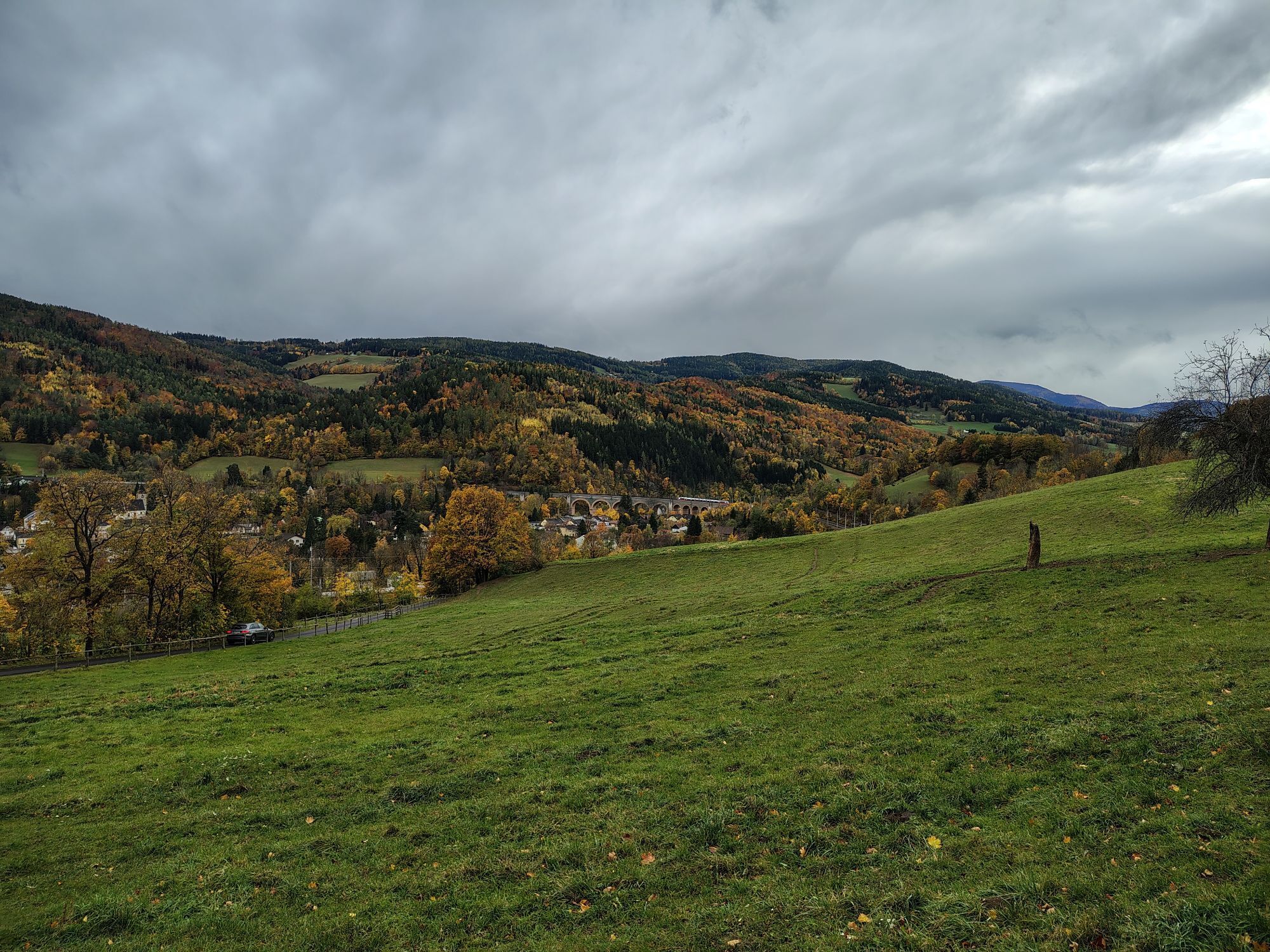


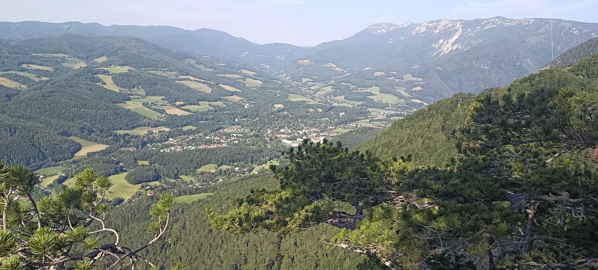
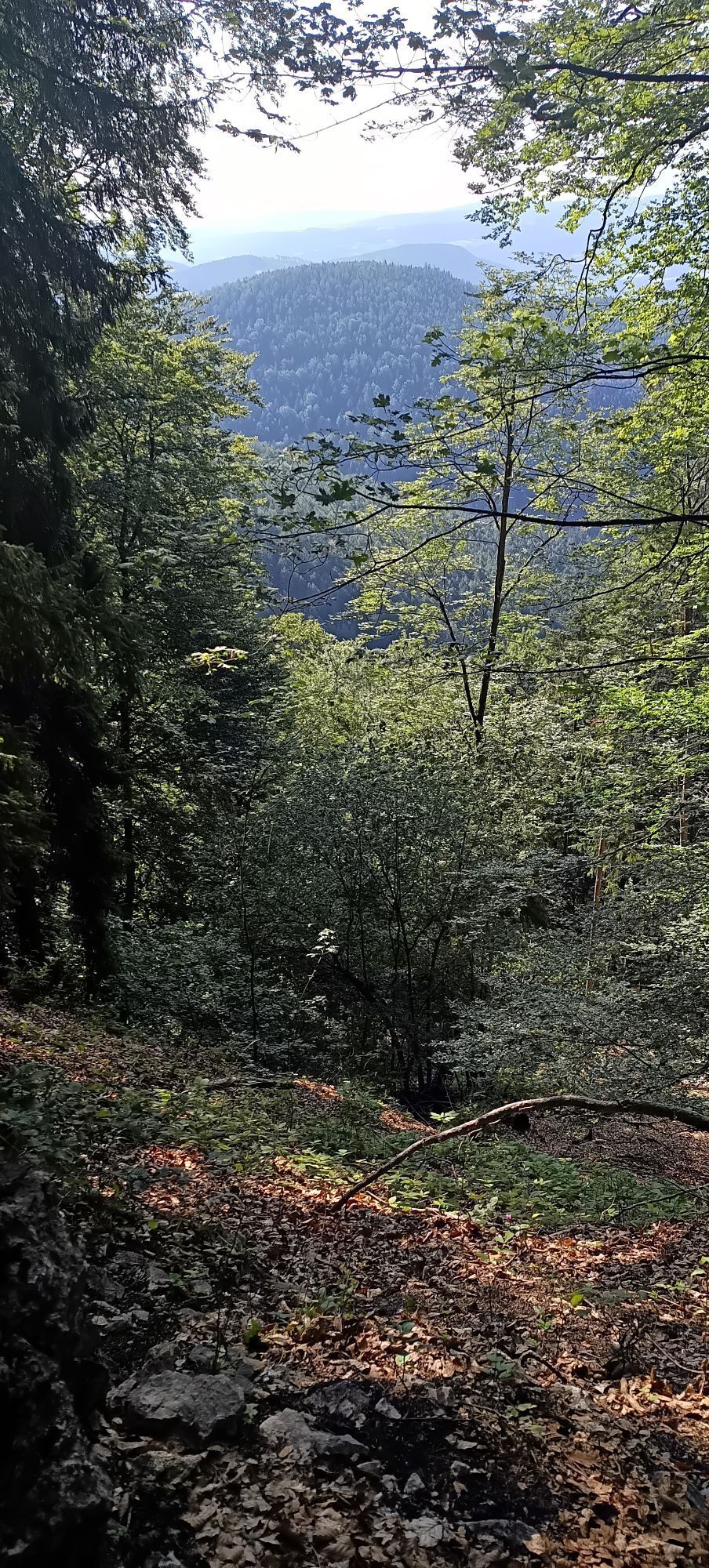
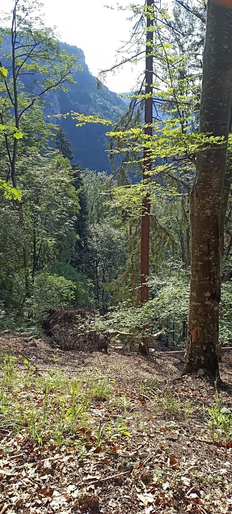
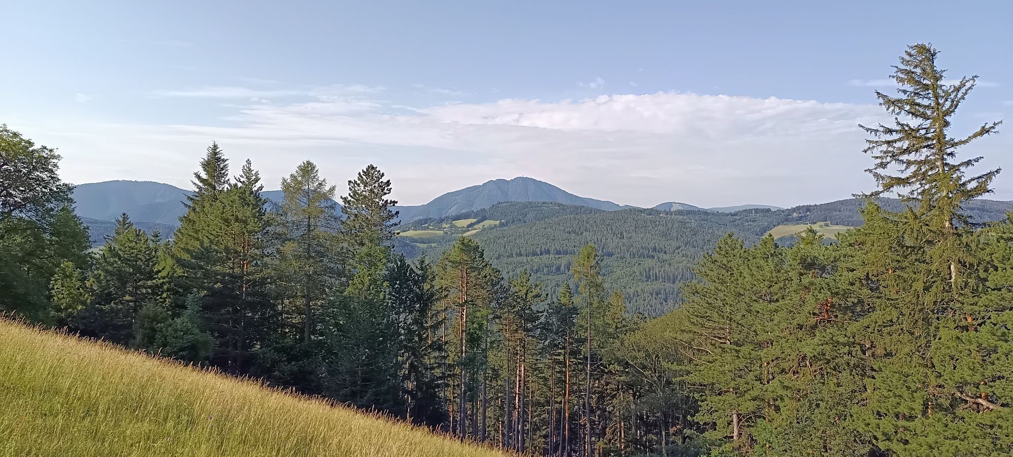
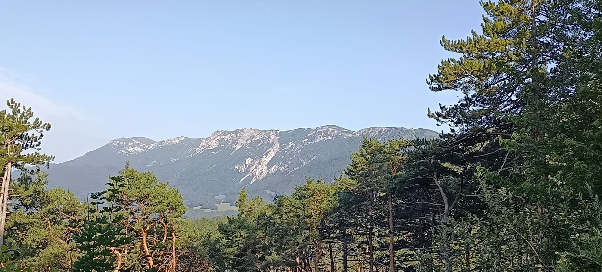


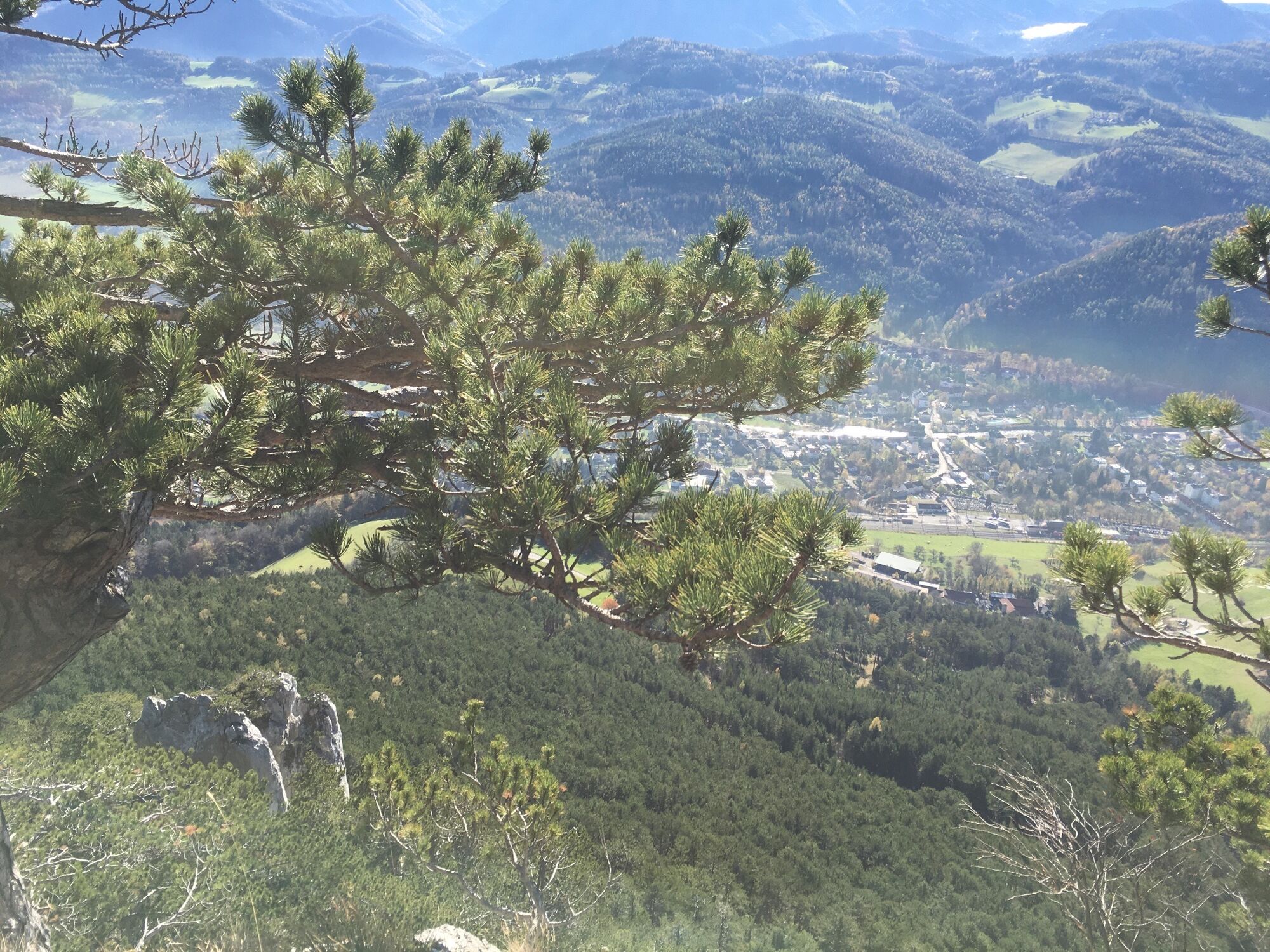

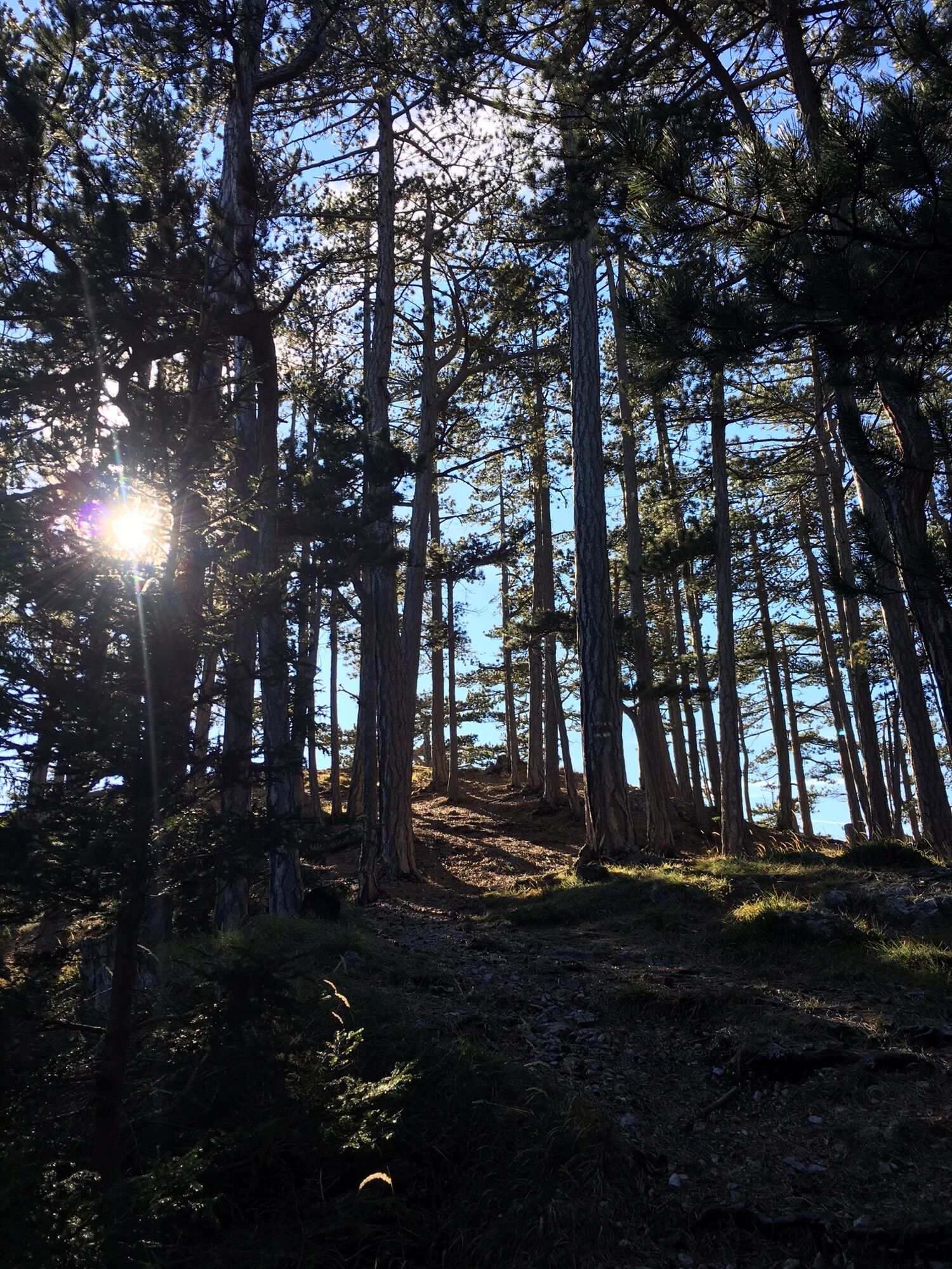

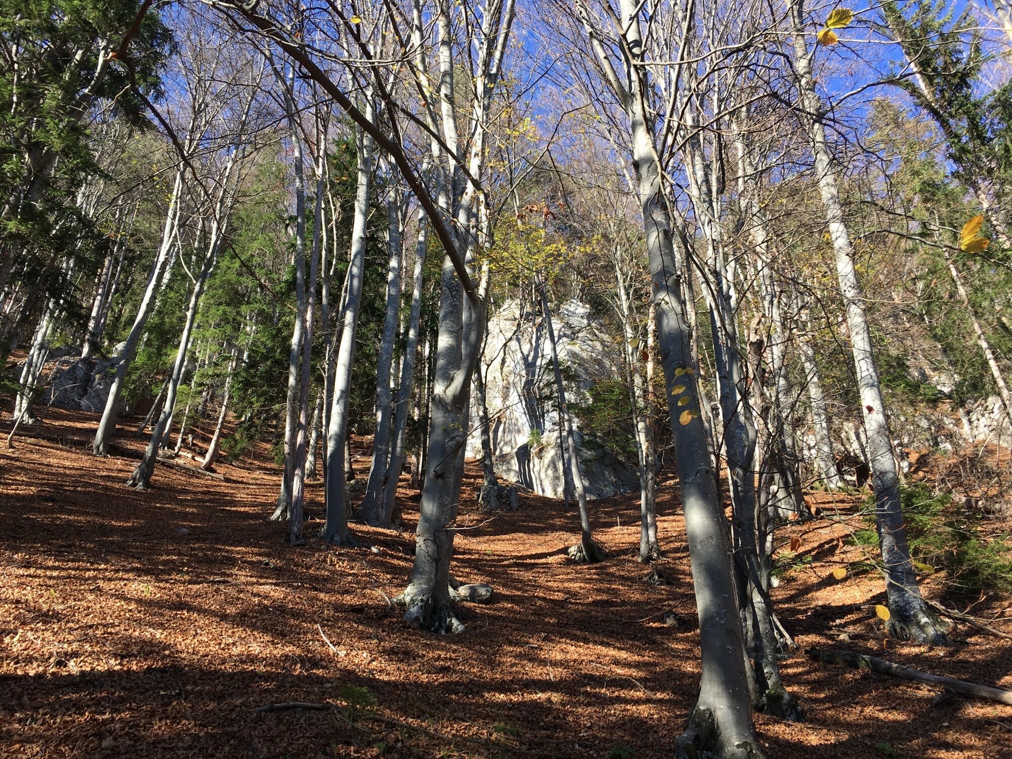
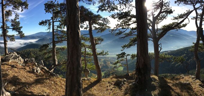
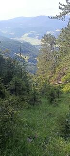
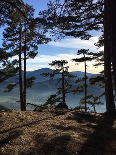
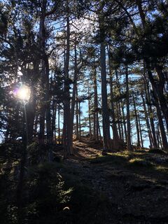
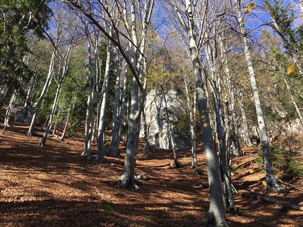
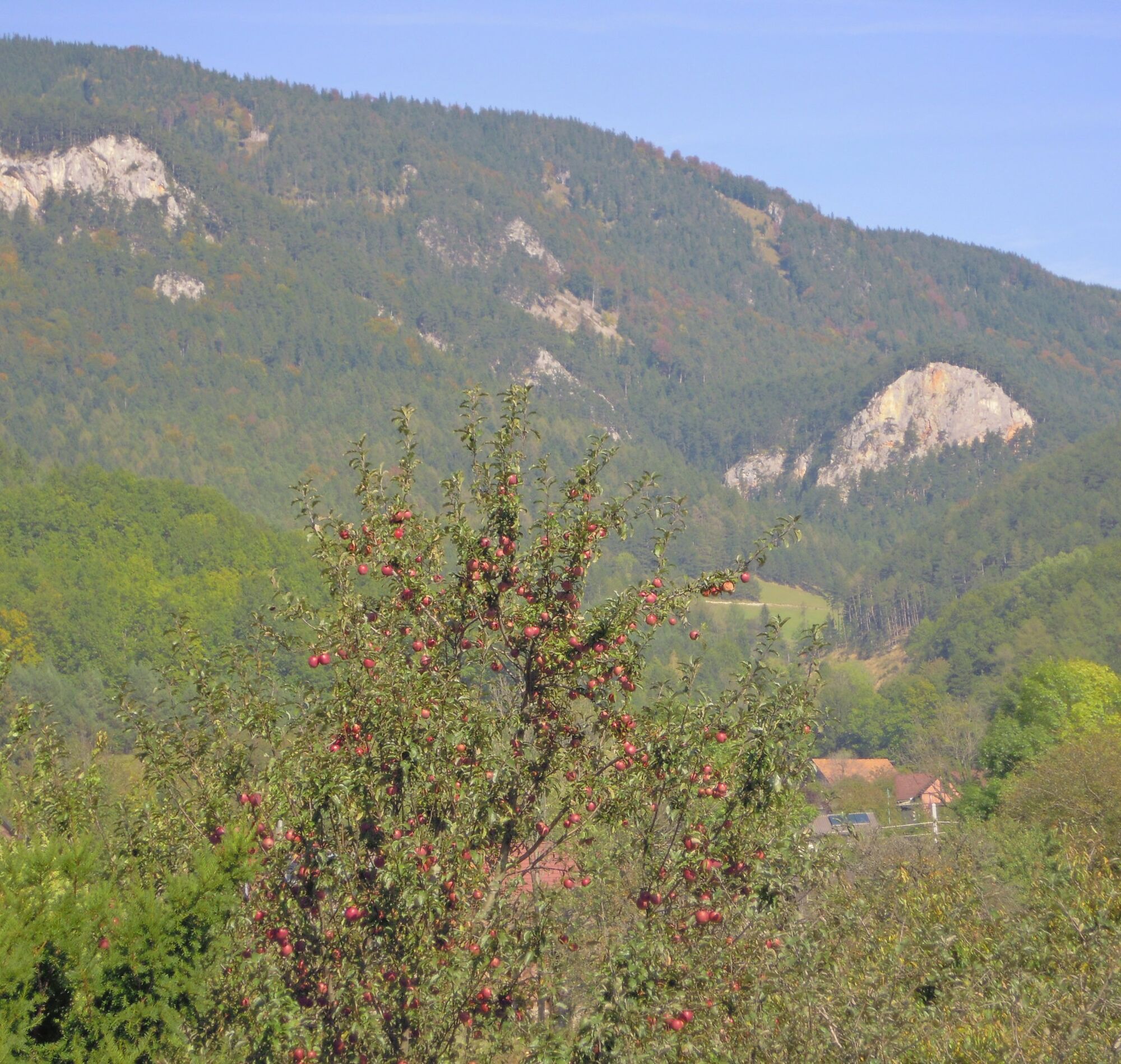
Even the starting point at the historic Payerbach station with the museum park is eye-catching. The circular route leads uphill through a pine forest and a wonderful mixed forest over beautiful paths through...
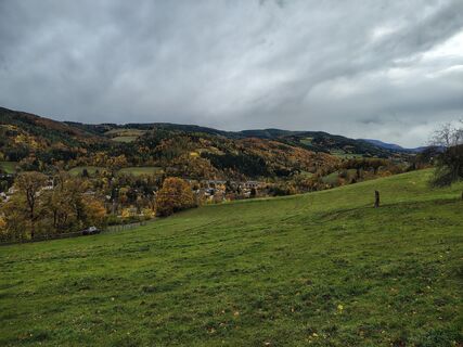
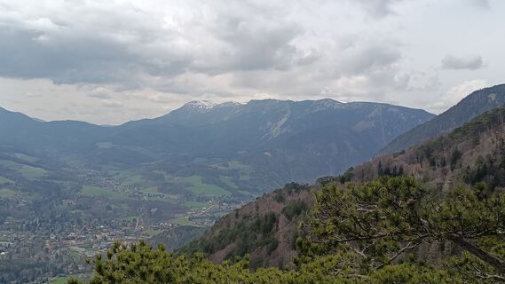
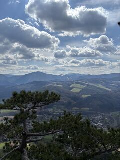
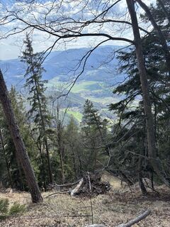
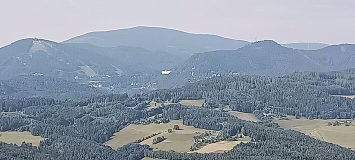
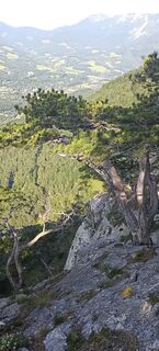
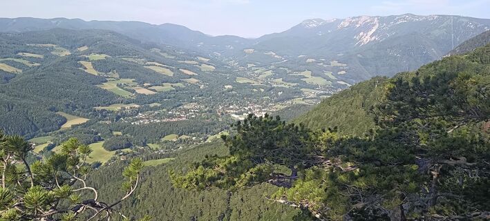
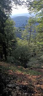
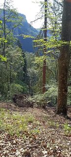
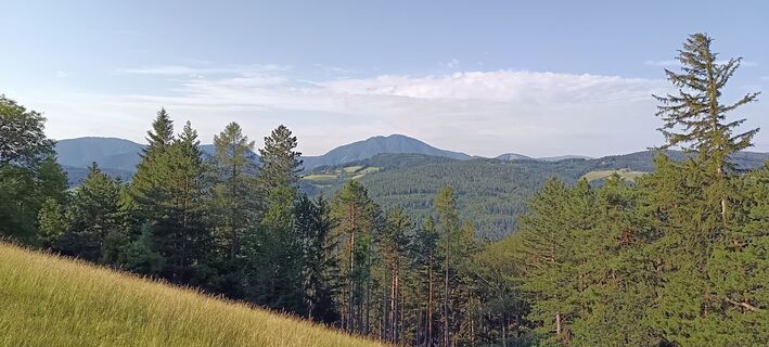
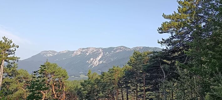
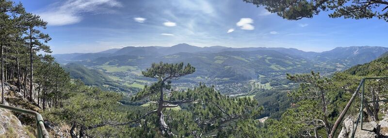
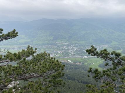
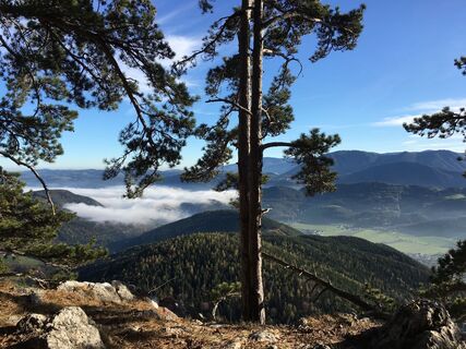
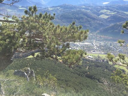
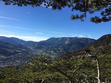
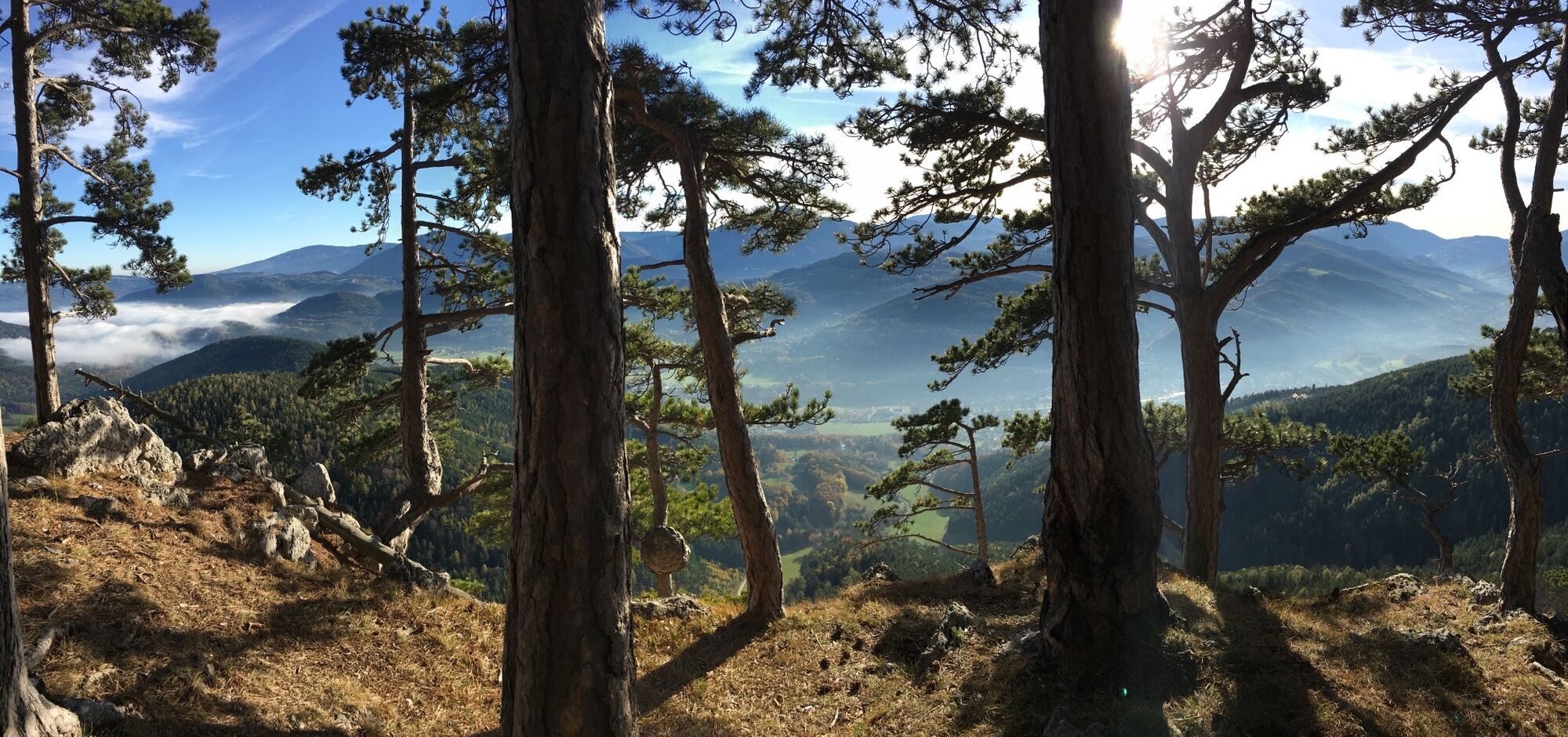
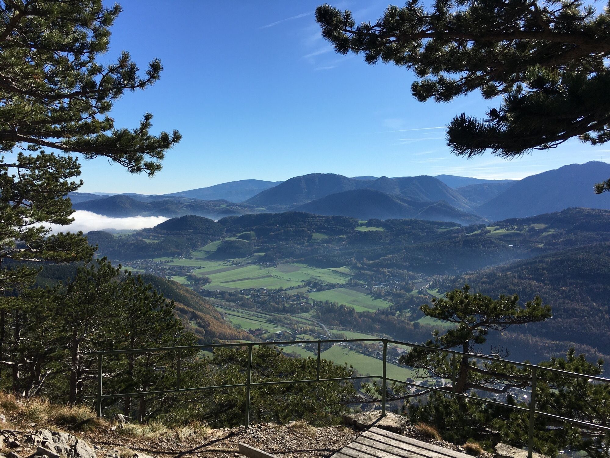
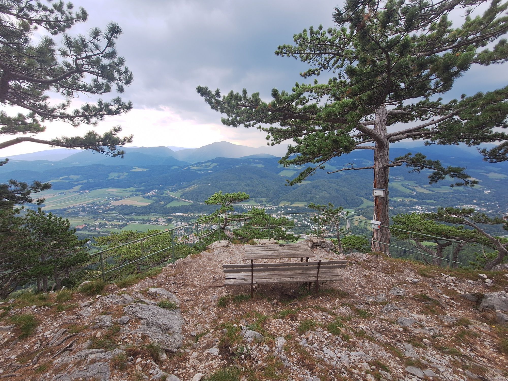
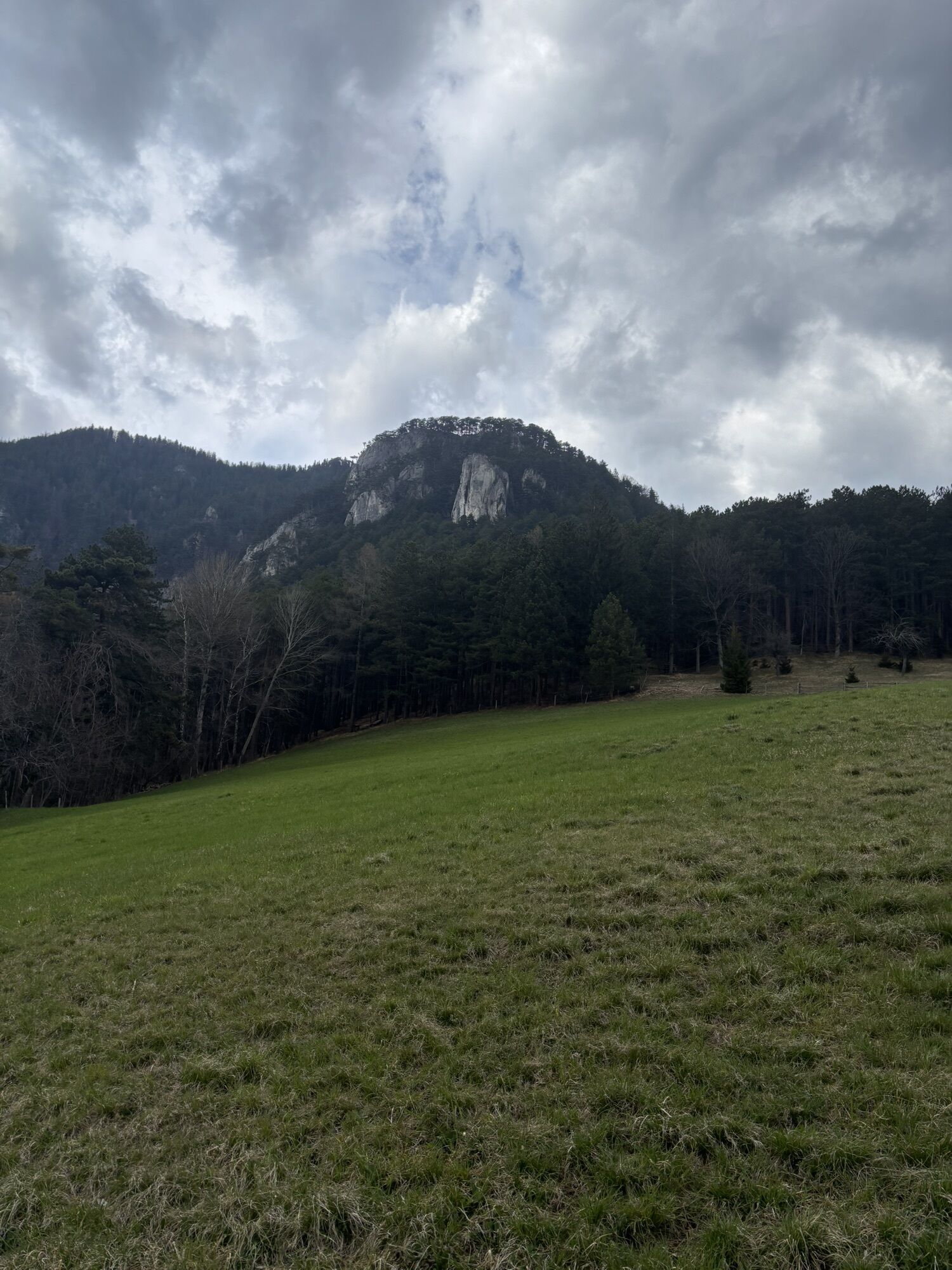
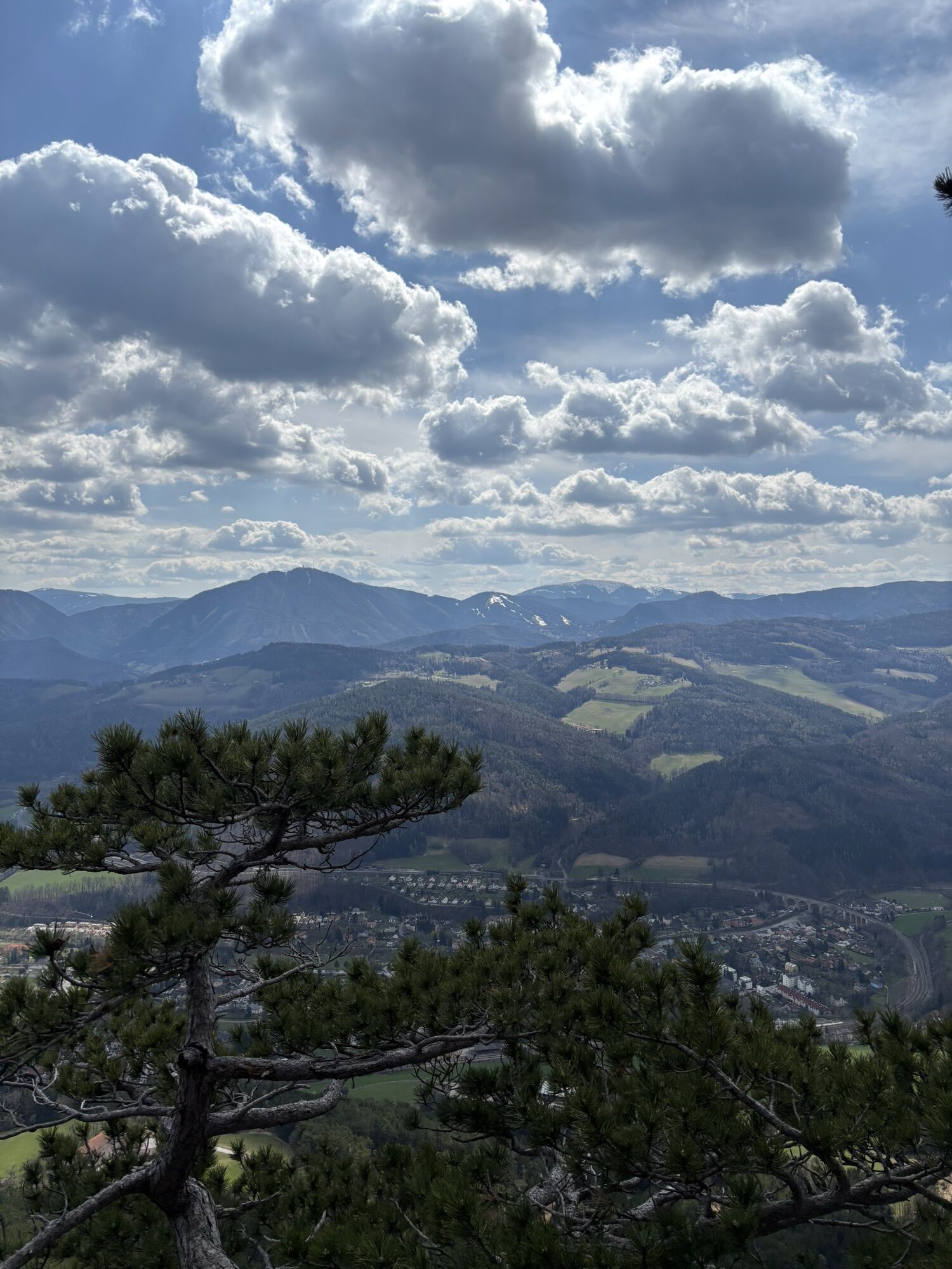
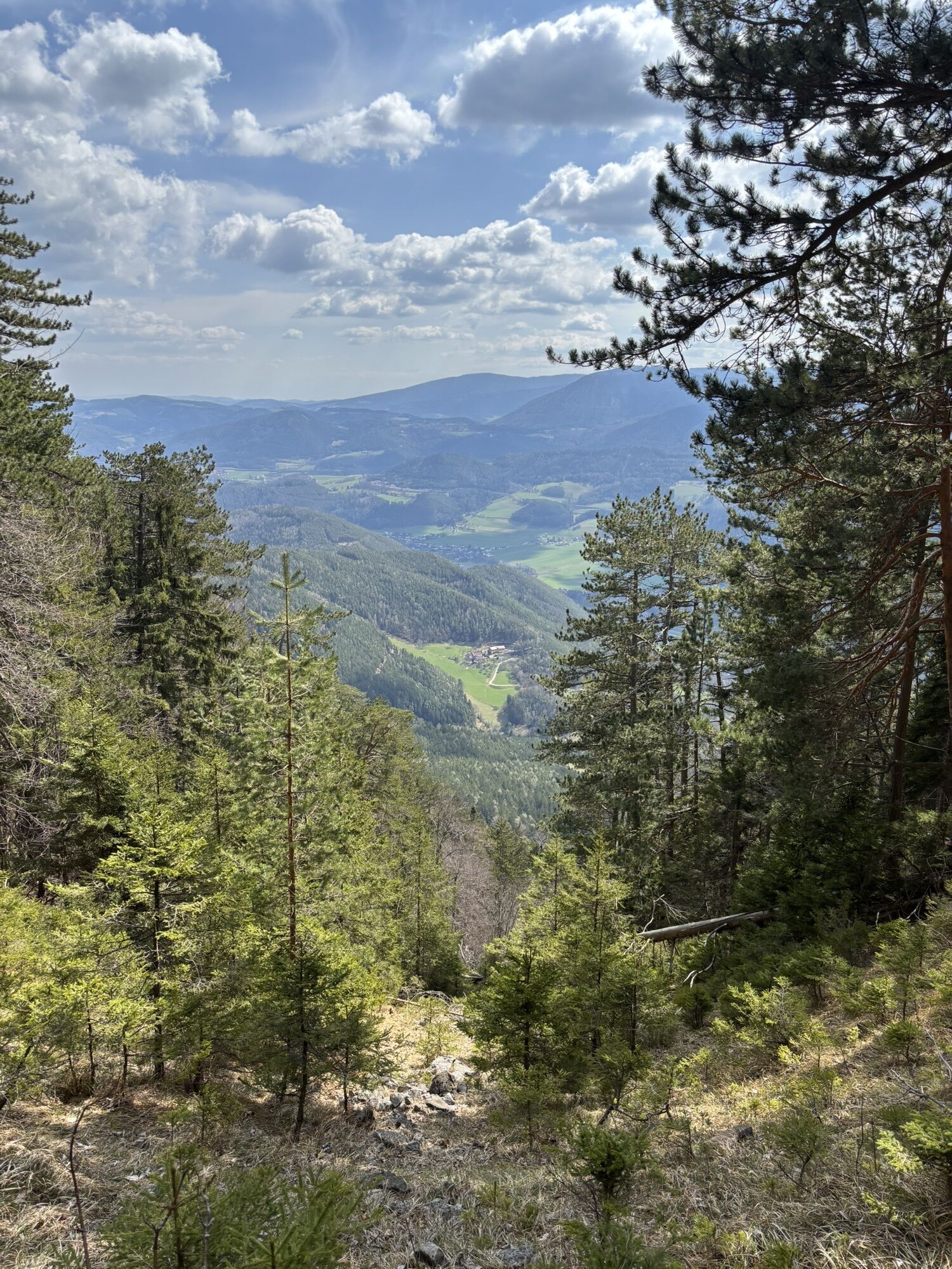
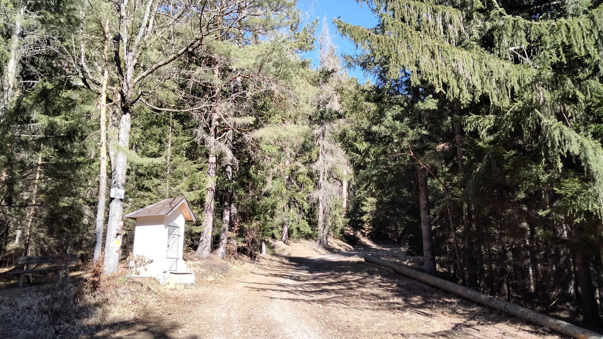
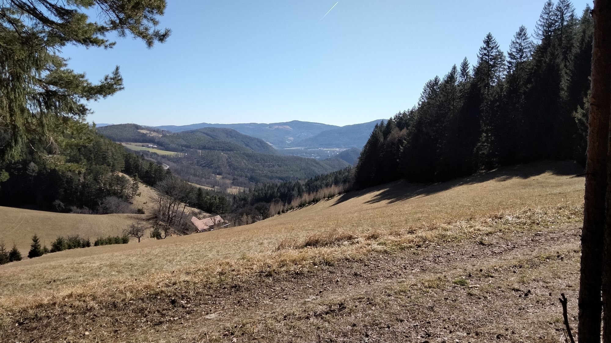
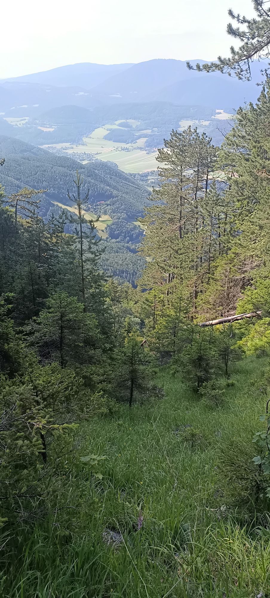
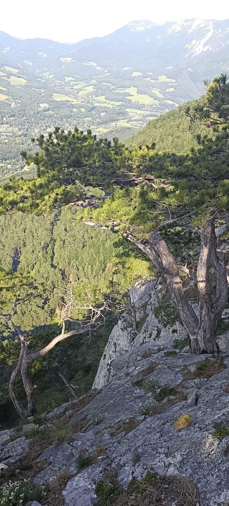
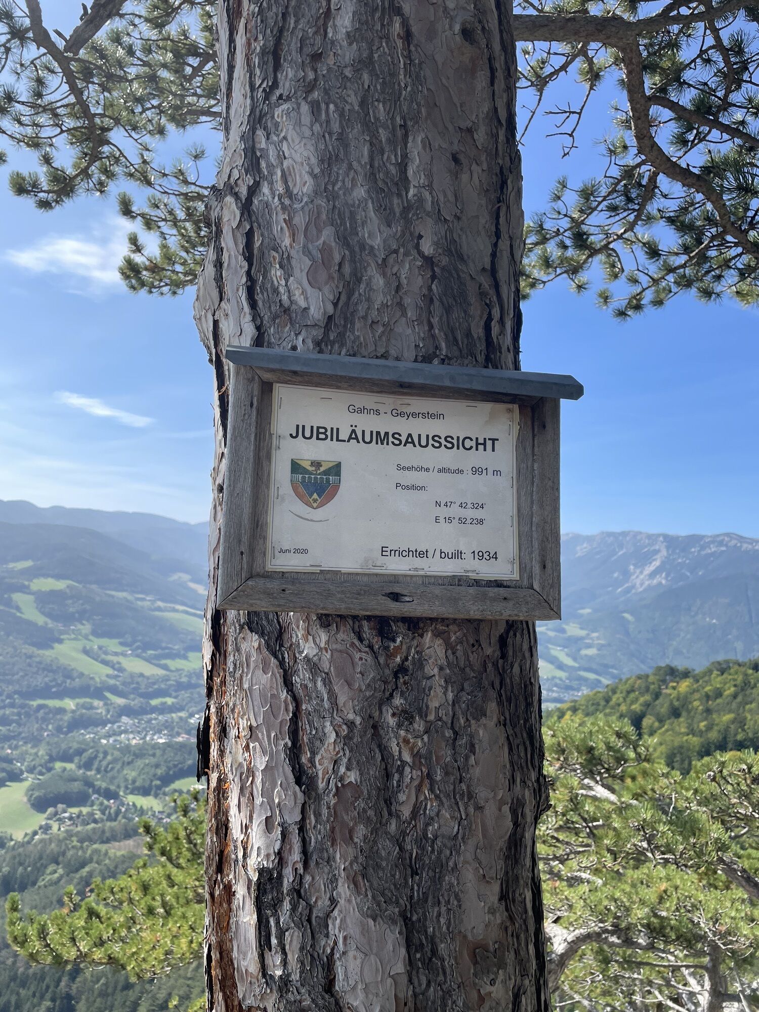
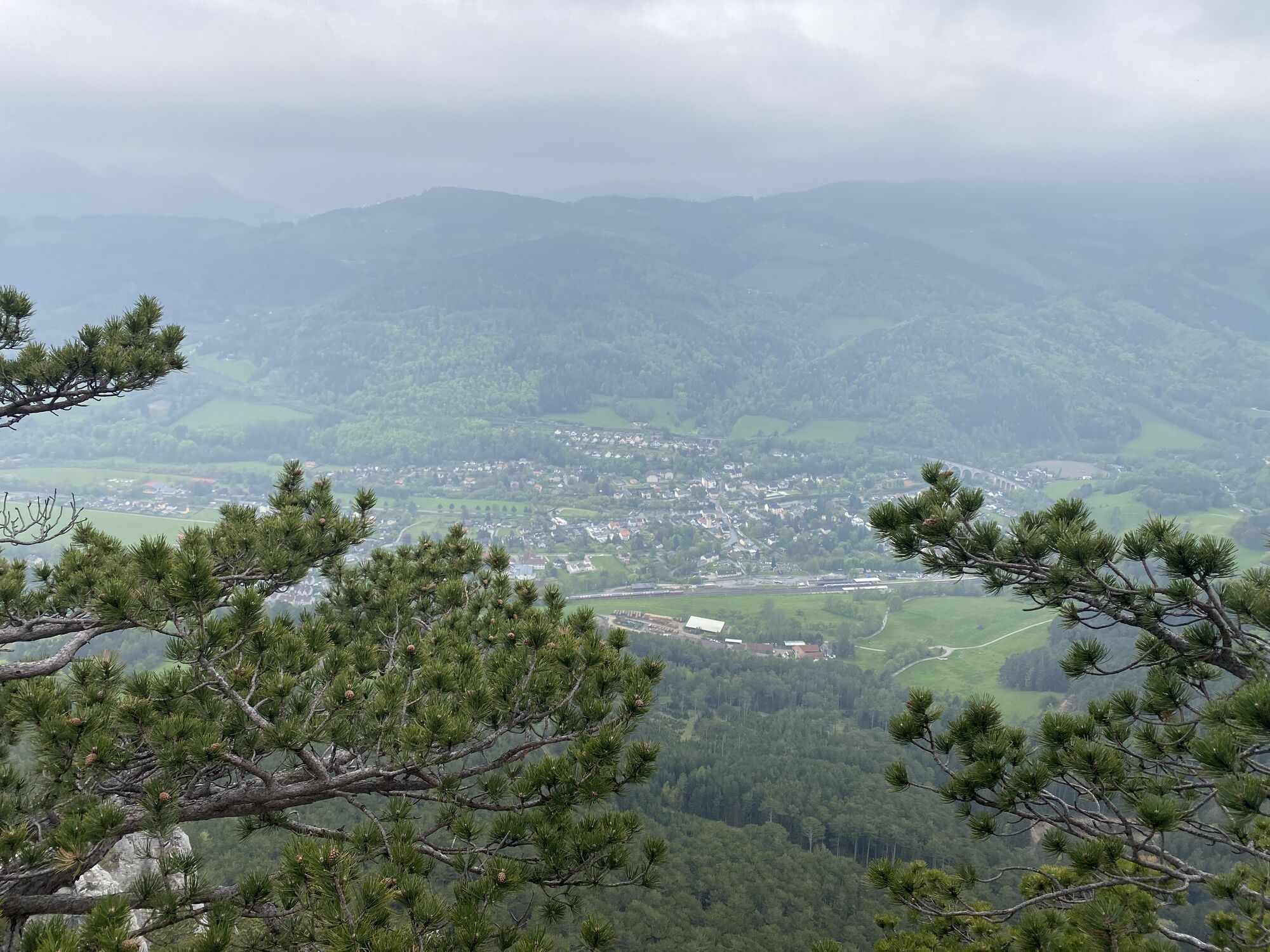
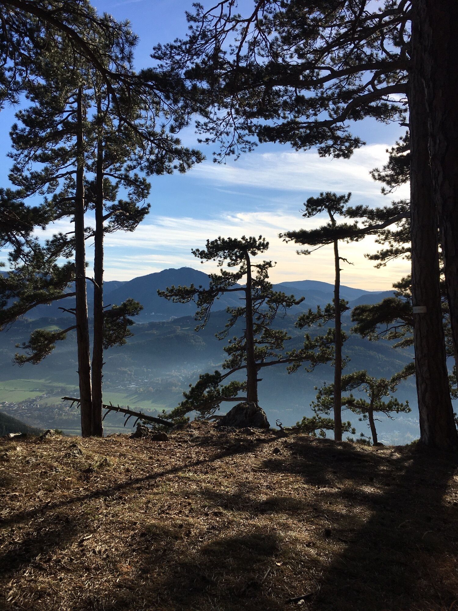
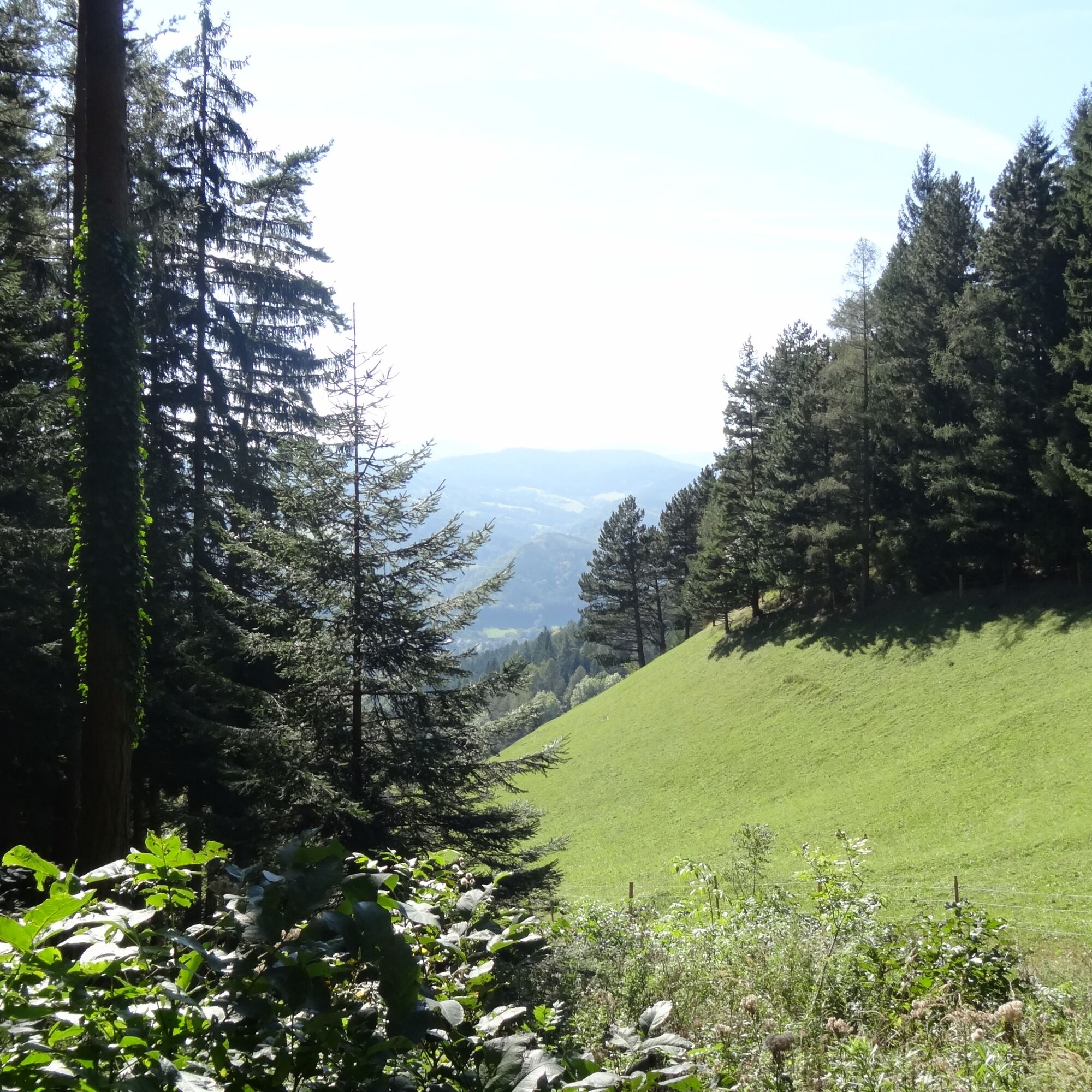
Even the starting point at the historic Payerbach station with the museum park is eye-catching. The circular route leads uphill through a pine forest and a wonderful mixed forest over beautiful paths through woods and meadows. Unique views are enjoyed at the anniversary viewpoint, from where you can see the entire Schwarzatal and on clear days even as far as Lake Neusiedl and beyond. Also at the so-called "Ilse-Rast," there is a great view of the beautiful quiet Buchtal. Passing characteristic wayside shrines, farmhouses, and the Sched chapel, but also over steeper sections, one covers over 700 meters in height difference.
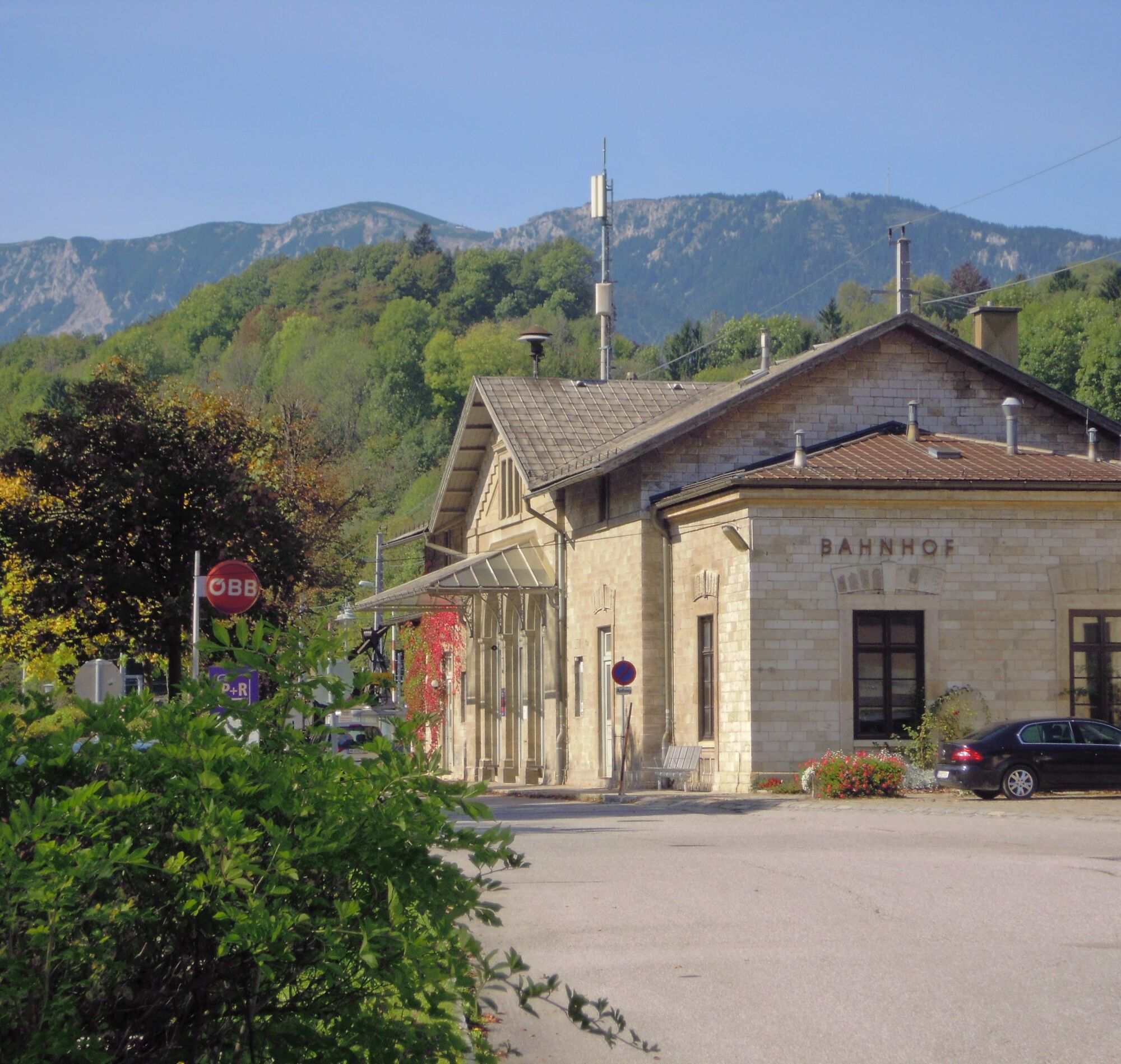
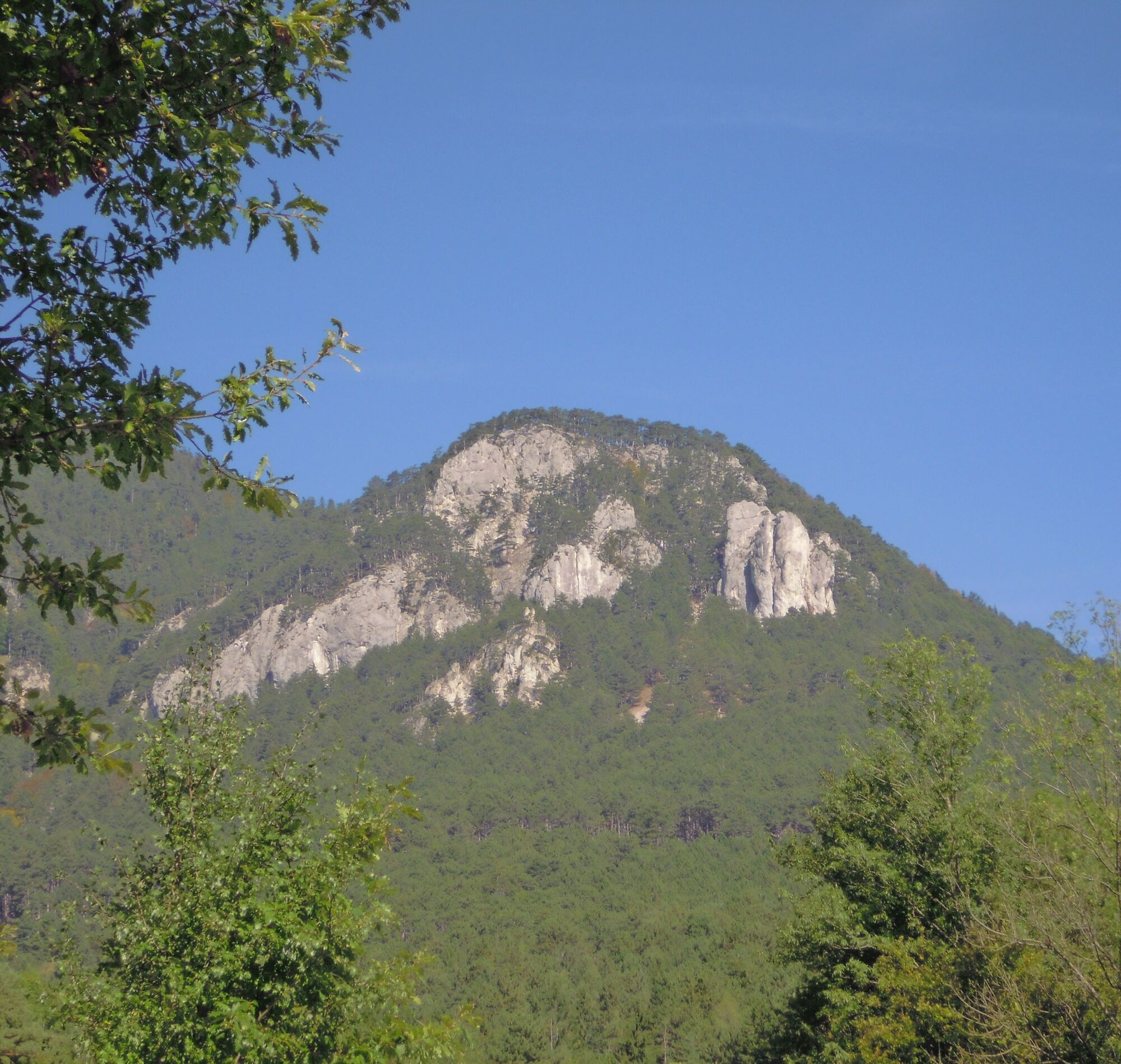
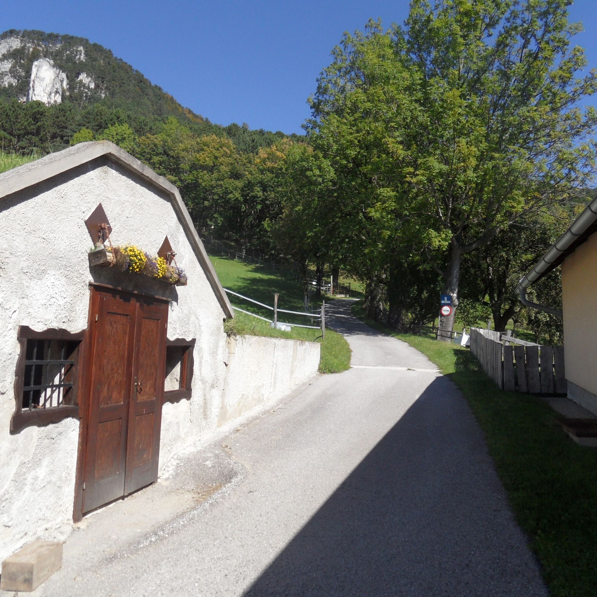
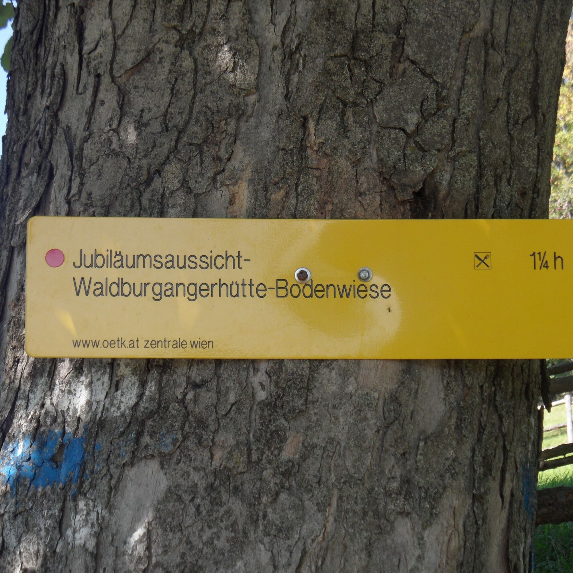
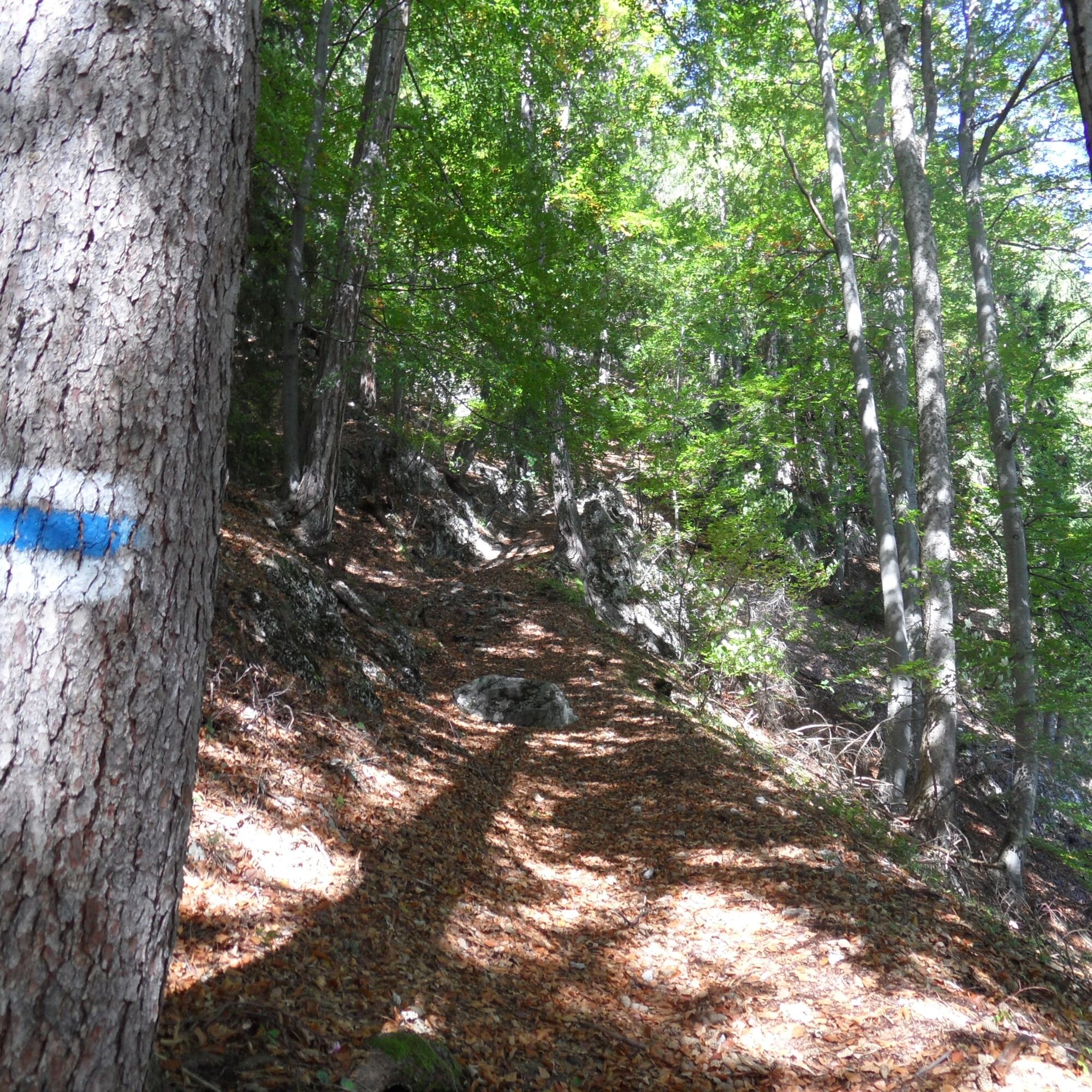
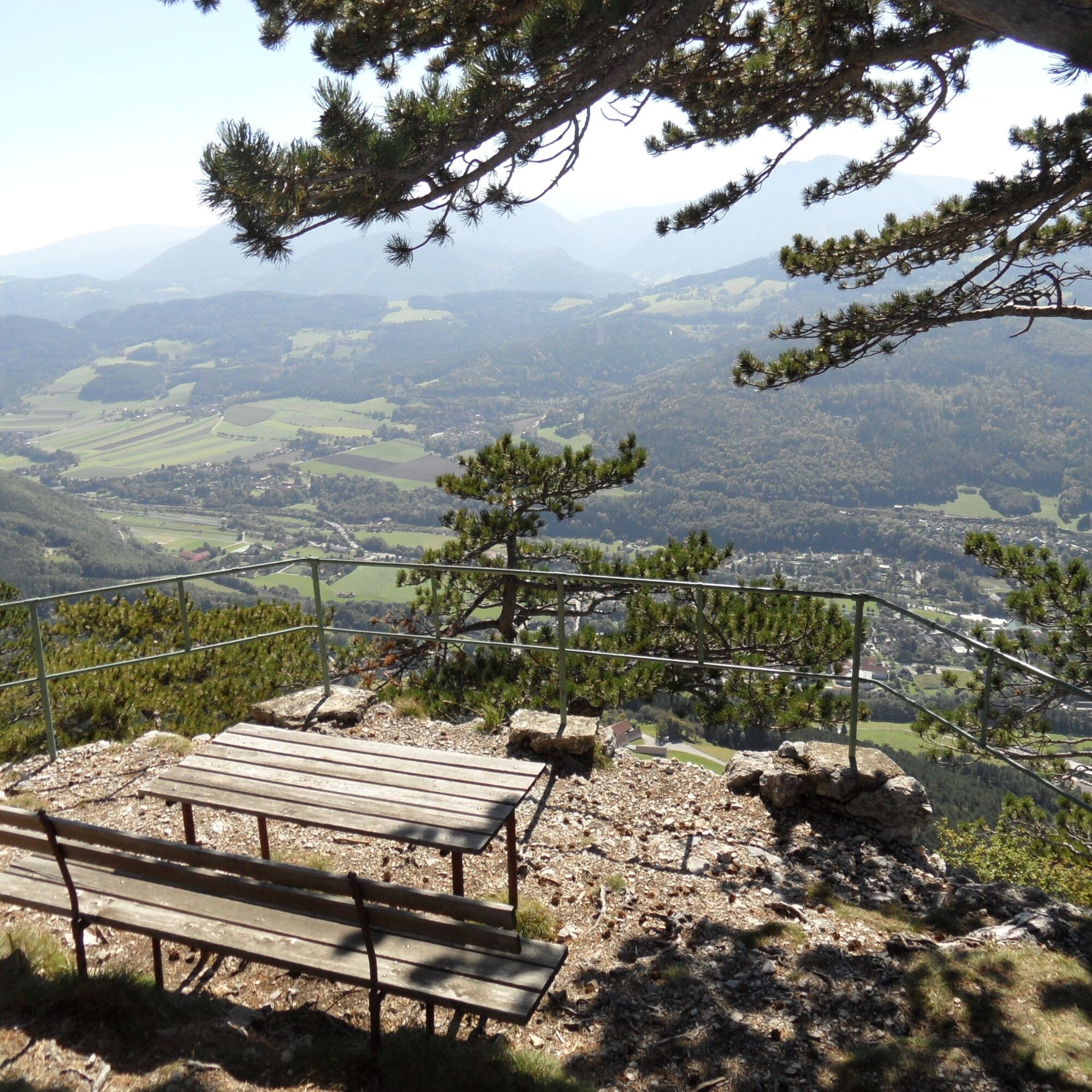
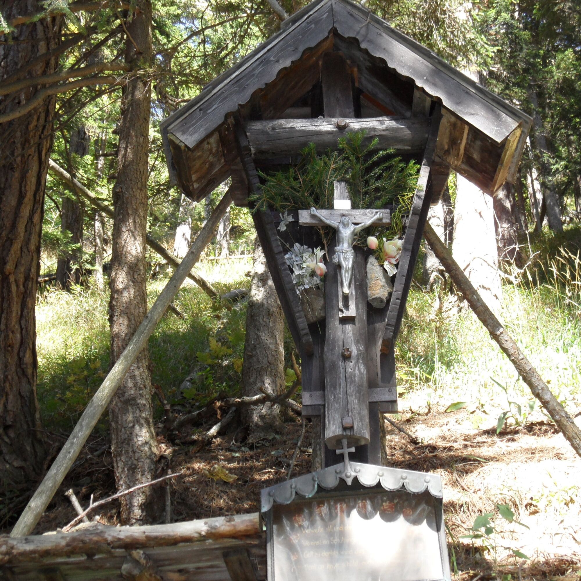
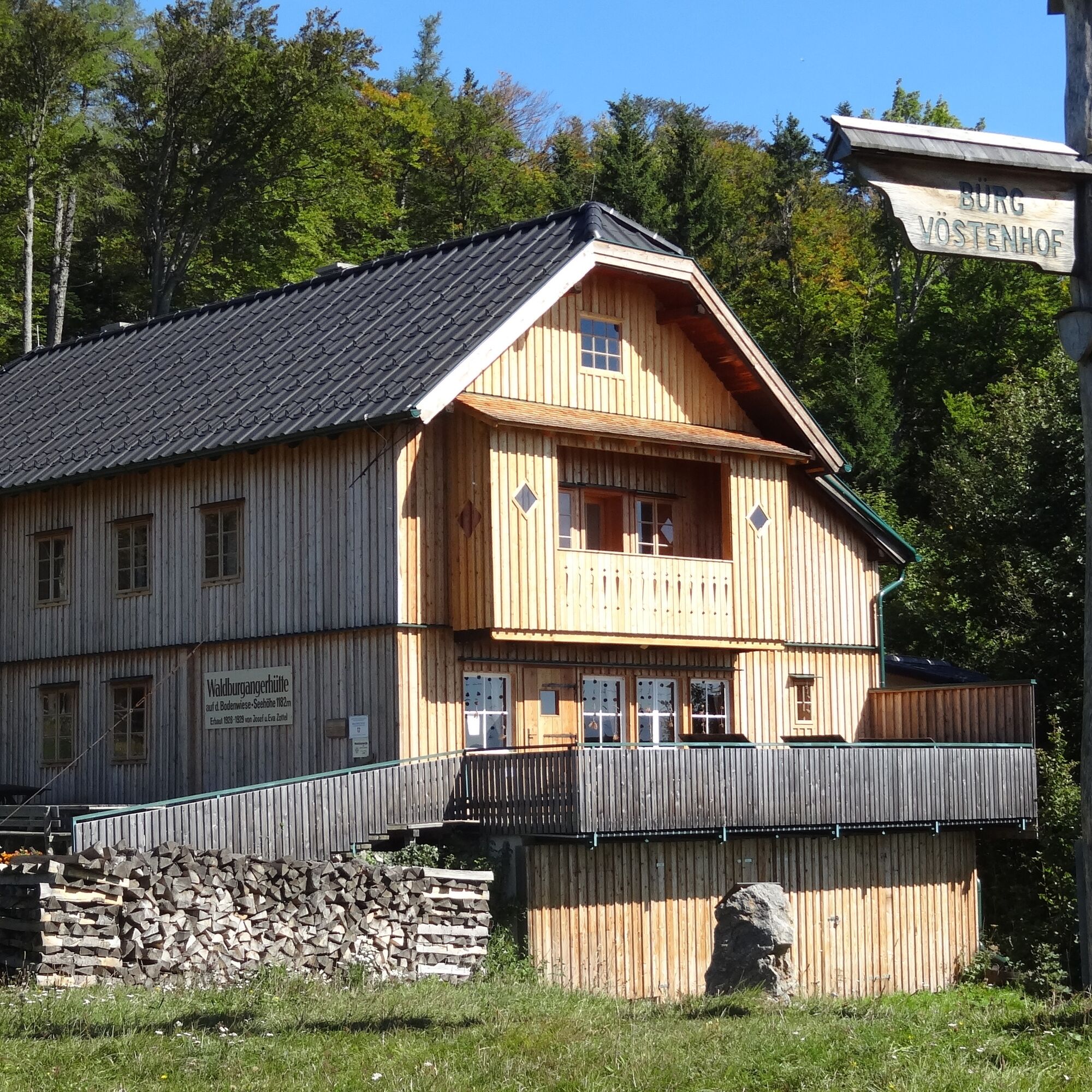
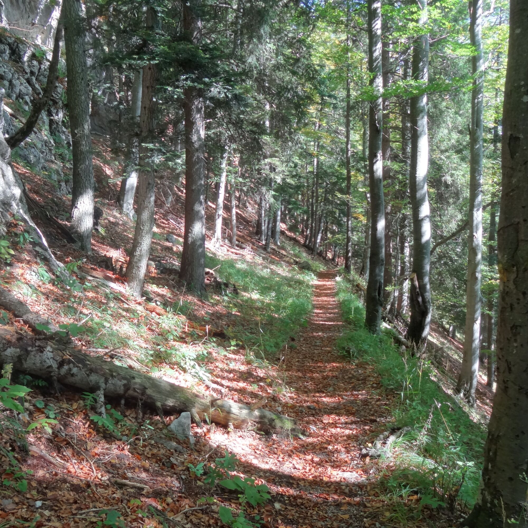
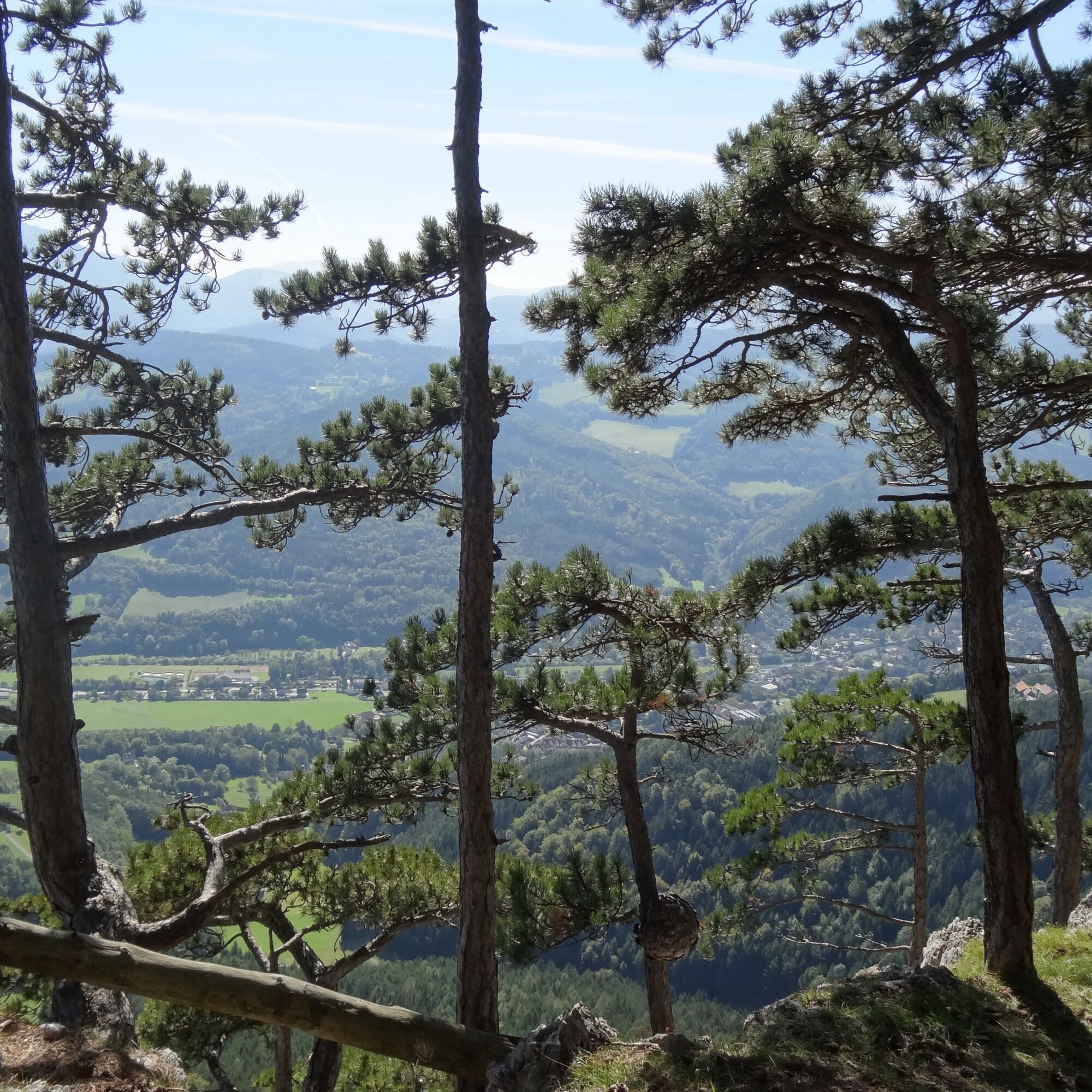
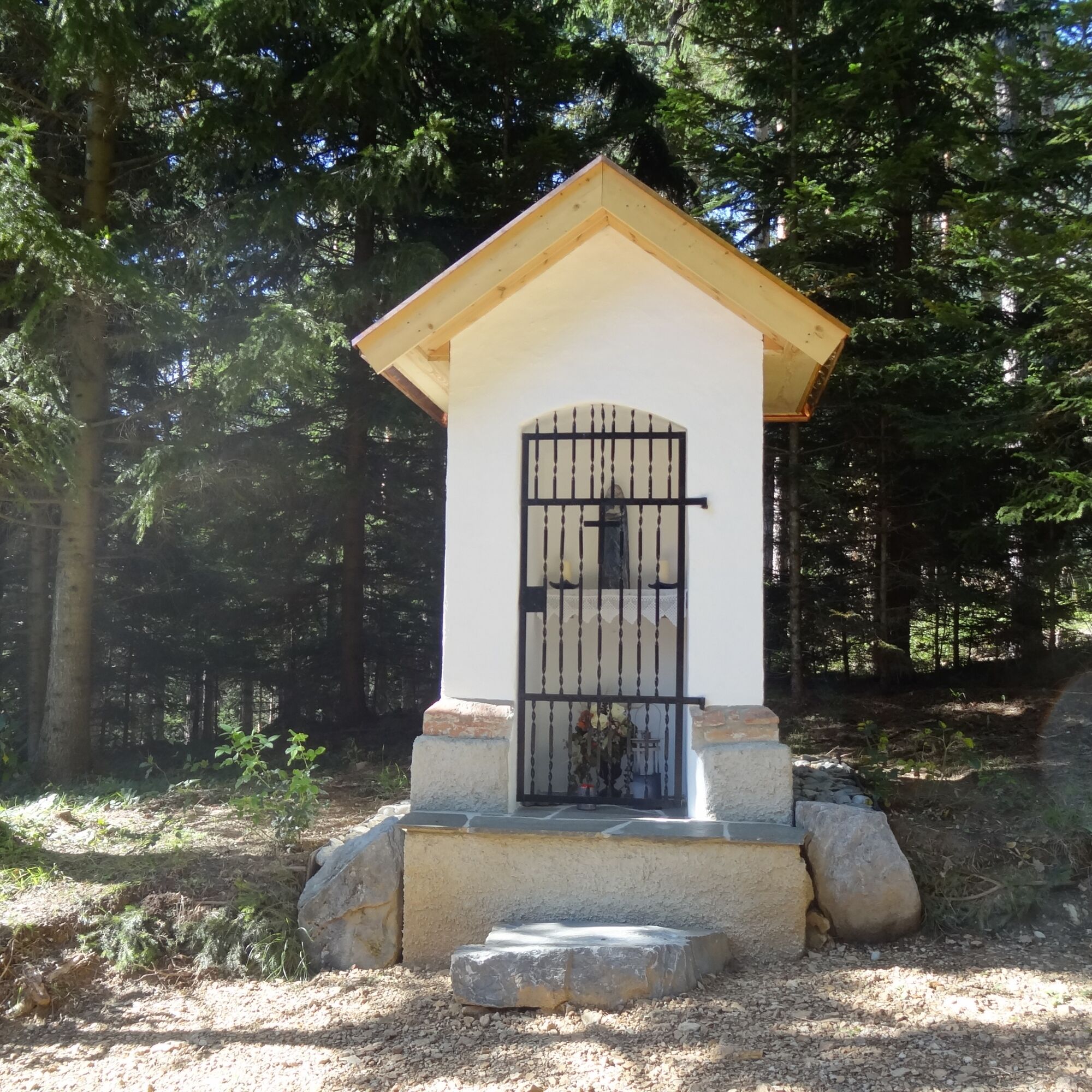
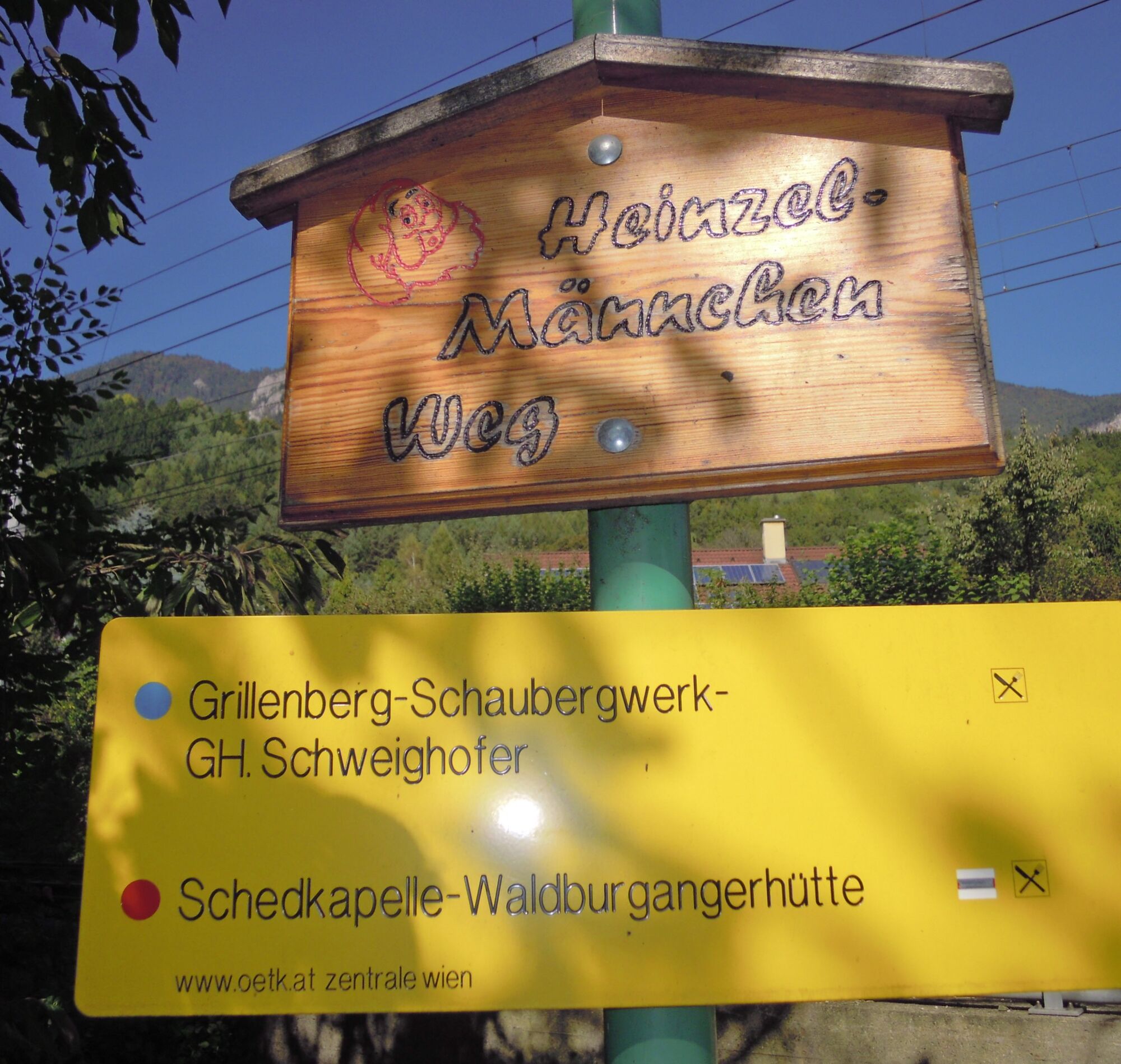
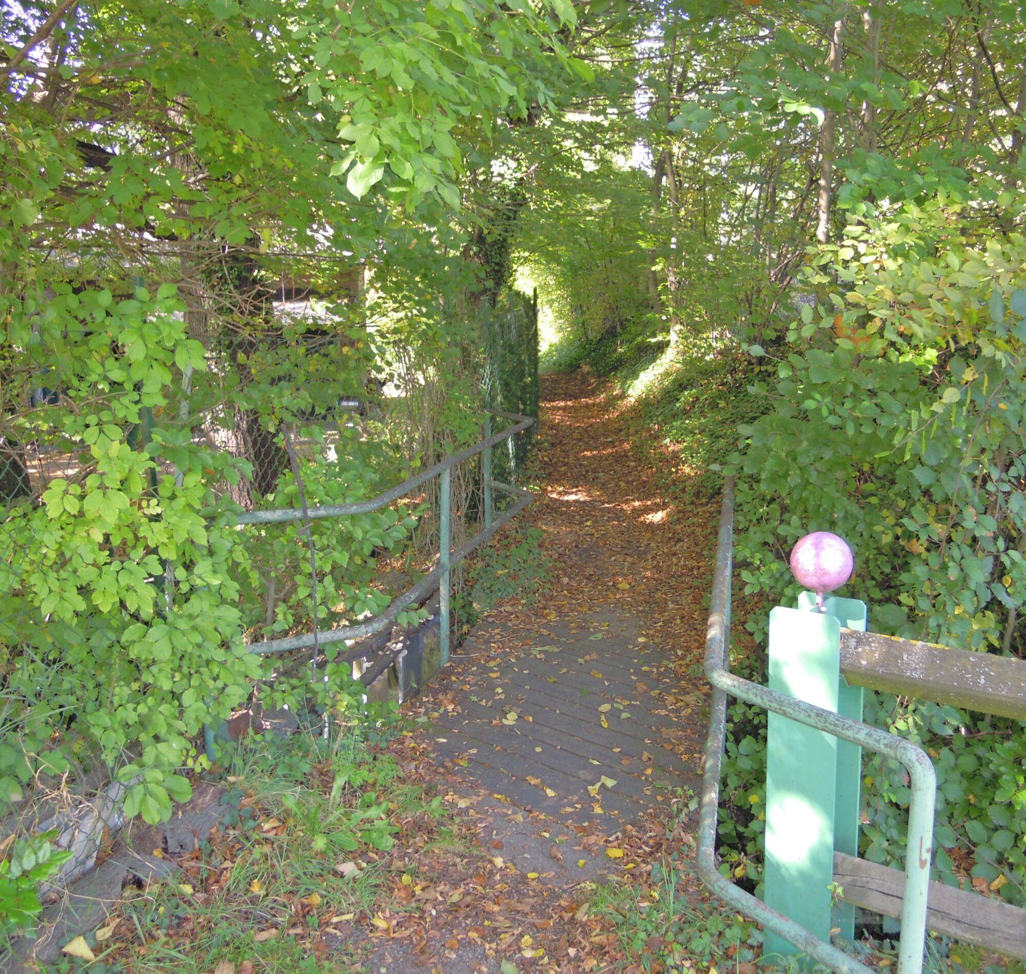
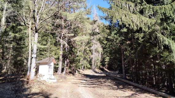
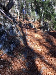
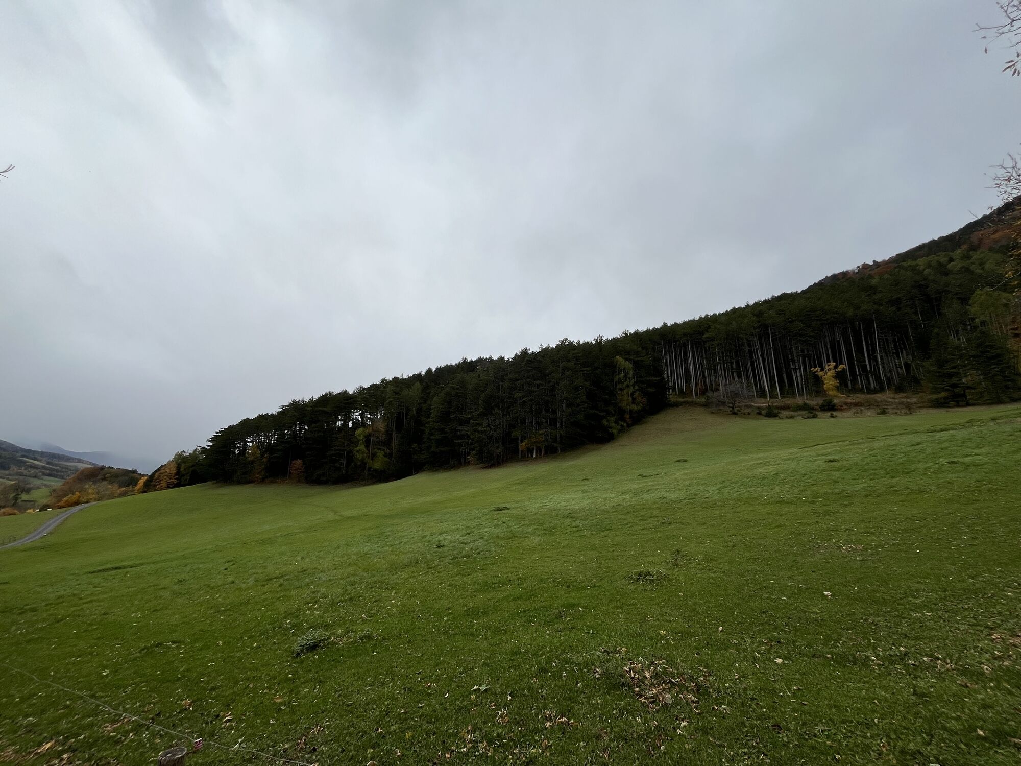
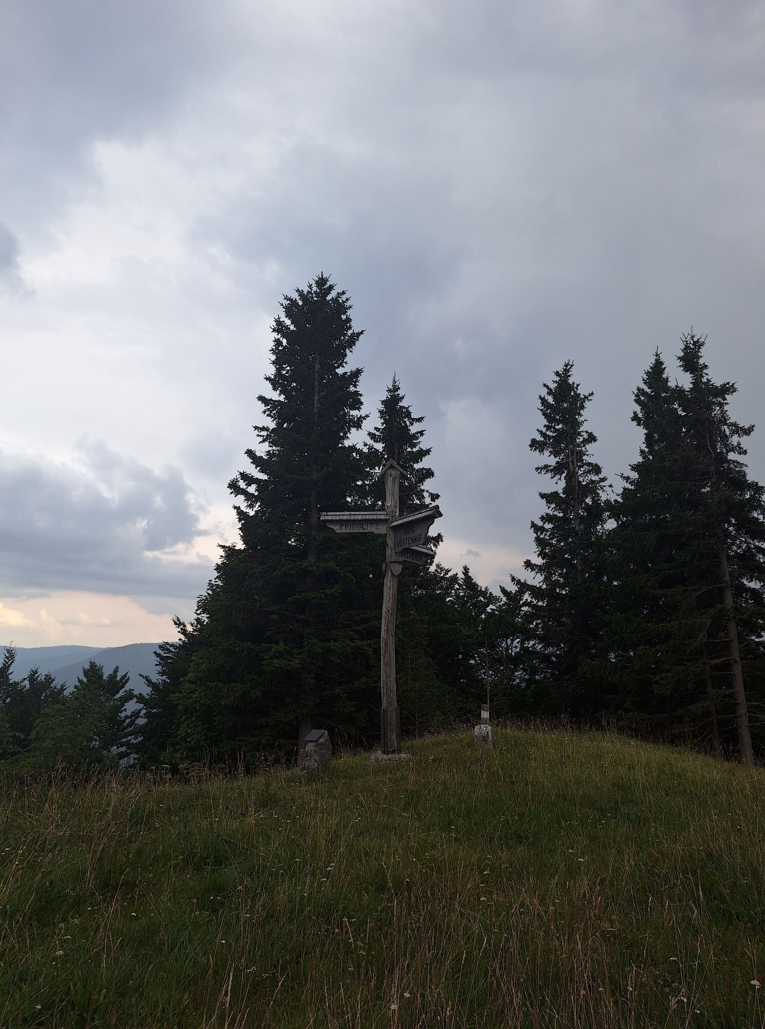
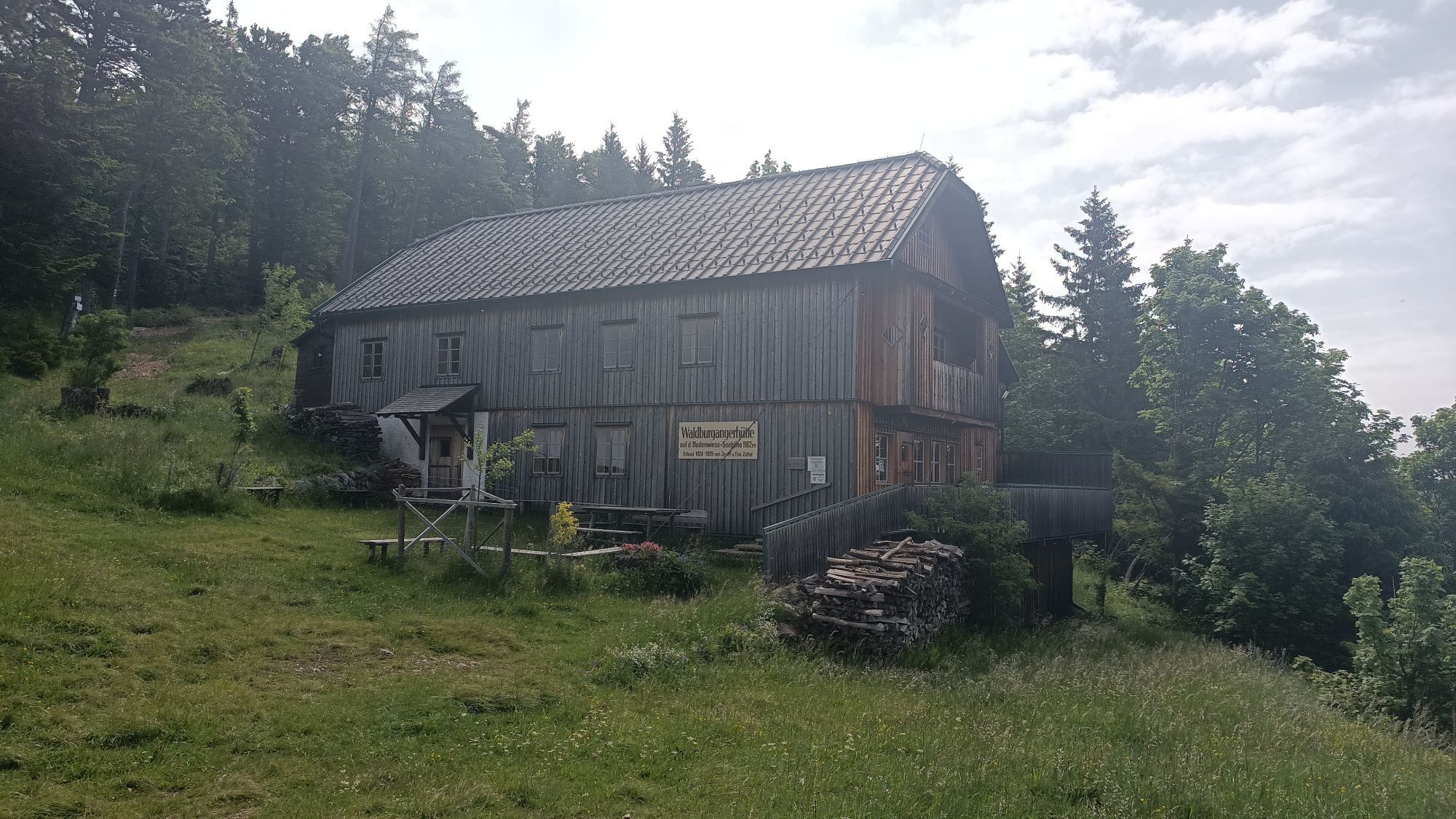
From the historic Payerbach station, we follow a small path until we reach an underpass of the Semmering Railway. We walk under the underpass along an asphalted goods road uphill to the former Hochberger inn. We come to a gate and follow the signage or the blue trail marking to the left. After a sharp right turn, we continue hiking on a slightly rocky and already quite steep forest path. We continue past the slightly rocky "key point" secured with chains for less confident hikers. After the "key point" we walk uphill for about 15 more minutes until we reach a forest clearing. Along the meadow path to the left, we reach the anniversary viewpoint on a rocky elevation. Back on our way, we briefly cross a forest road and follow the blue trail marking. We reach another forest road. After about 150 meters eastwards along the forest road, we cross left uphill and reach the Bodenwiese after about 10 minutes, with a view of the Waldburganger hut. (A cozy stop is recommended at the hut before continuing the hike.) We now go downhill along the marked path or the yellow marking and pass along a forest road past the Sched chapel. We turn right and follow the signage or the red marking. We return to the valley at Werning. Continuing through Werning, we turn right immediately after the railway barrier and hike back to our starting point, the Payerbach-Reichenau station, via the so-called "Heinzelmännchenweg."
Igen
Igen
Wear appropriate clothing and sturdy footwear. Remember rain and sun protection. Bring enough to drink.
Always bring suitable maps. Wear firm shoes adapted to the route, carry sun and rain protection as well as water and a snack. Bring your mobile phone and save the mountain rescue emergency number: 140
Be especially careful with your children at places like the anniversary viewpoint or the Ilse-Rast or other steep sections. There is a risk of falling!
Plan longer walking times, especially with younger children.
When wet, especially on rocky and stony ground, it can be very slippery.
Preparation
Make sure the route you choose matches your experience and fitness. Check the weather report beforehand. Weather can change rapidly in the mountains. Always start suitably equipped (e.g., rain protection).
Check if the huts and snack stations you want to visit on the way are open. Inform someone about your route choice and planned return before you start.
By car from Vienna, take the S6 at the Seebenstein junction, exit at Gloggnitz, and continue to Payerbach.
From the direction of Bruck/Mur on the S6, take the Gloggnitz exit and continue to Payerbach.
Take the ÖBB to Payerbach-Reichenau station, which is the starting point of the route.
More information at www.oebb.at or www.vor.at
At the park & ride facility at Payerbach station or in the town center.
Tourism information Payerbach, www.tourismus-payerbach.at, www.payerbach.at, +43 (0)2666-52423-12
Brochures, leaflets, etc. at the tourism information or freely available at the entrance portal of the municipal office, Ortsplatz 7, 2650 Payerbach
Vienna Alps in Lower Austria, www.wieneralpen.at, +43 / 2622 / 78960
A stop at the "Halter" on the Bodenwiese is worthwhile.
Stop at the Waldburganger hut (May 1 - June 30 and September 1 - October 26 on Saturdays, Sundays, and holidays)
Népszerű túrák a környéken
-
4,8
Karl Lechnerhaus - Stuhleck
közepesKirándulás 7,81 km -
4,7
Raxplateau Runde 12km
közepesKirándulás 11,3 km -
4,7
Krummbachstein Dez 20
közepesKirándulás 15,7 km -
4,7
Gsohlhirnsteig - Ottohaus - Törmweg (Rundwanderung)
közepesKirándulás 11,0 km -
4,6
Krummbachstein Rundwanderung, NÖ
közepesKirándulás 15,2 km -
4,7
Rax Preiner Gscheid / Waxriegel / Waxriegelhaus / Göbl-Kühn-Steig / Seehütte
közepesKirándulás 9,62 km -
4,4
Höllental Gr. Höllental AV Steig Ottohaus Wachhüttelkamm ret. 09.06.2017
nehézKirándulás 10,6 km -
4,4
Johannesbachklamm - Würflach
közepesKirándulás 11,3 km -
4,4
Vándorlás a Hochschneeberg/Klostrewappen fennsíkján
közepesKirándulás 7,27 km -
4,5
"Waxriegel 1888m" - Schneebergdörfl - Niederösterreich / Österreich
könnyűKirándulás 14,2 km
Túrázás & nyomkövetés


Ne maradjon le az ajánlatokról és az inspirációról a következő nyaralásához!
Az Ön e-mail címe hozzá lett adva a levelezőlistához.