


From the Puy to the Canal


After admiring the chapel with Byzantine-style mural frescoes, continue along a shaded path crossing typical villages to reach the Puy de Pauliac and its magnificent viewpoints, the Cromlech, the Dolmen,...
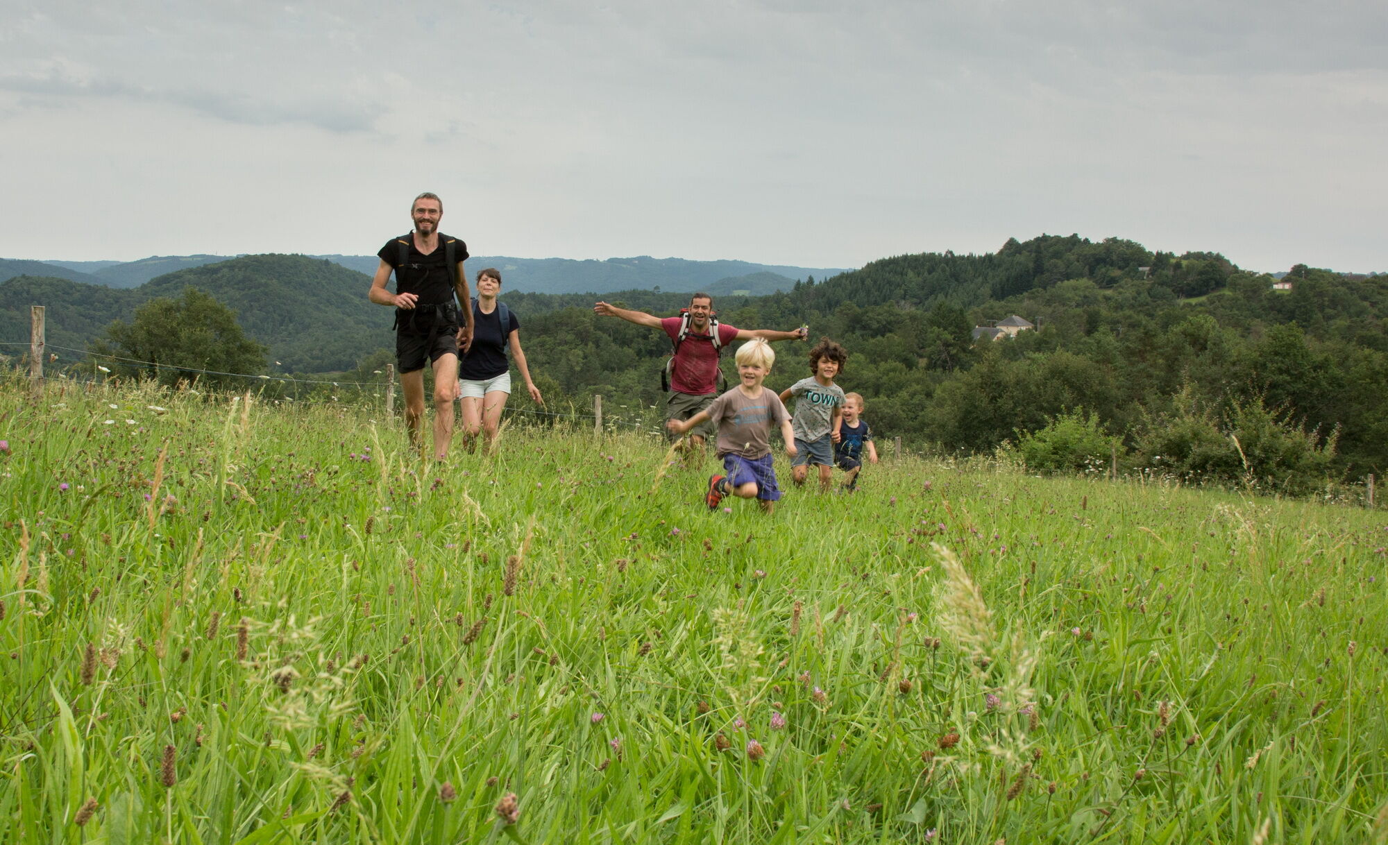
After admiring the chapel with Byzantine-style mural frescoes, continue along a shaded path crossing typical villages to reach the Puy de Pauliac and its magnificent viewpoints, the Cromlech, the Dolmen, the mysterious site of Roche Bergère, the rocky spur of the Calvary overlooking Aubazine…
Then, return to the village via the mythical Canal des moines.


Follow the light green waymarking.
Igen
Igen
Clothing suitable for the season and conditions (cold, hot, humid…)
Hiking shoes suitable for the terrain (even for children!)
Hiking poles (useful for stability and to relieve joints)
Mobile phone and spare battery
Before you leave:
Check the general and local weather, ensuring there is no precipitation Get information on the approach walk, itinerary height, walking time, possible escape routes (IGN map, GPS, guidebook, etc.) Assess possible risks by consulting mountain professionals, refuges, guesthouses Inform someone close to you about your plan and contact them in case of changes: departure and return times, number of participants with each phone number, vehicle(s), parking Avoid going alone, use equipment suitable for the activity, adjusted and in good condition, headlamp, full first aid kit, survival blanket, etc.
In case of problem
Alert: call 112 (European emergency number)
5 key points to communicate your alert:
Where? municipality, place, itinerary, altitude Who? identity, phone number What? type of accident, number of victims, severity, dynamics of fall When? time of the accident Weather? wind, visibility
Consider carpooling
Parking near the starting point
Népszerű túrák a környéken
-
Brive la Gaillarde greenway between Aubazine station and St-Pantaléon de Larche
könnyűBiciklizés 18,0 km -
GR® de Pays du Midi Corrézien
nehézhosszú távú sétaútvonal 117,8 km -
5,0
Albussac - Cascade de la Vierge - Cascades de Murel
nehézKirándulás 7,26 km -
Chez Coco - Aubazine - Église abbatiale Saint-Étienne - Le saut de la Bergère
könnyűKirándulás 4,46 km -
Le Martret - Collonges-la-Rouge - La Souteyrie - Église Saint-Pierre ou Saint-Sauveur
könnyűKirándulás 7,47 km -
Église Saint-Sernin - Brive-la-Gaillarde - Église Saint-Martial - La Seniorie
nehézOrszágúti kerékpározás 50,7 km -
Aubazine-Saint-Hilaire - Église Collégiale Notre-Dame-et-Saint-Pantaléon - Église Saint-Barthélemy - Collégiale Saint-Martin
nehézOrszágúti kerékpározás 81,8 km -
Sainte-Fortunade - Église Saint-Pierre ou Saint-Sauveur - Église abbatiale Saint-Étienne - Église Sainte-Foy-d'Agen
nehézOrszágúti kerékpározás 68,4 km -
Église Saint-Mexant-de-Poitiers - Saint-Mexant - Les Épicuriens - Chapelle Saint-Loup
közepesOrszágúti kerékpározás 33,6 km -
Le Relais du Bas Limousin - Lauvinerie - Brive-la-Gaillarde - Église du Sacré-Cœur des Rosiers
nehézOrszágúti kerékpározás 73,8 km
Túrázás & nyomkövetés


Ne maradjon le az ajánlatokról és az inspirációról a következő nyaralásához!
Az Ön e-mail címe hozzá lett adva a levelezőlistához.